
Search for another town


Free U.S. delivery 7 to 10 days after you order
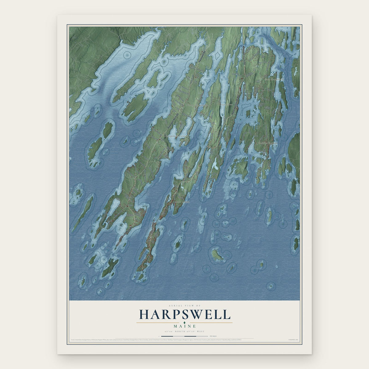
Harpswell, Maine Map Art
Building by building, with labeled streets and shaded relief.
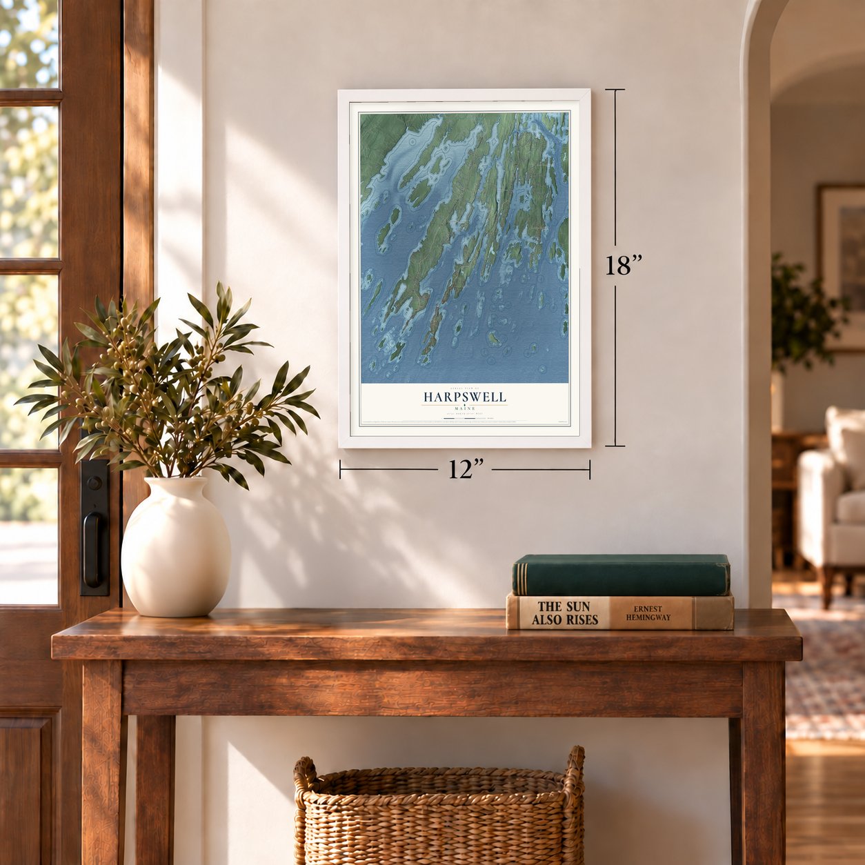
12" x 18" Archival Matte Print
A Map of Home. A Work of Art.
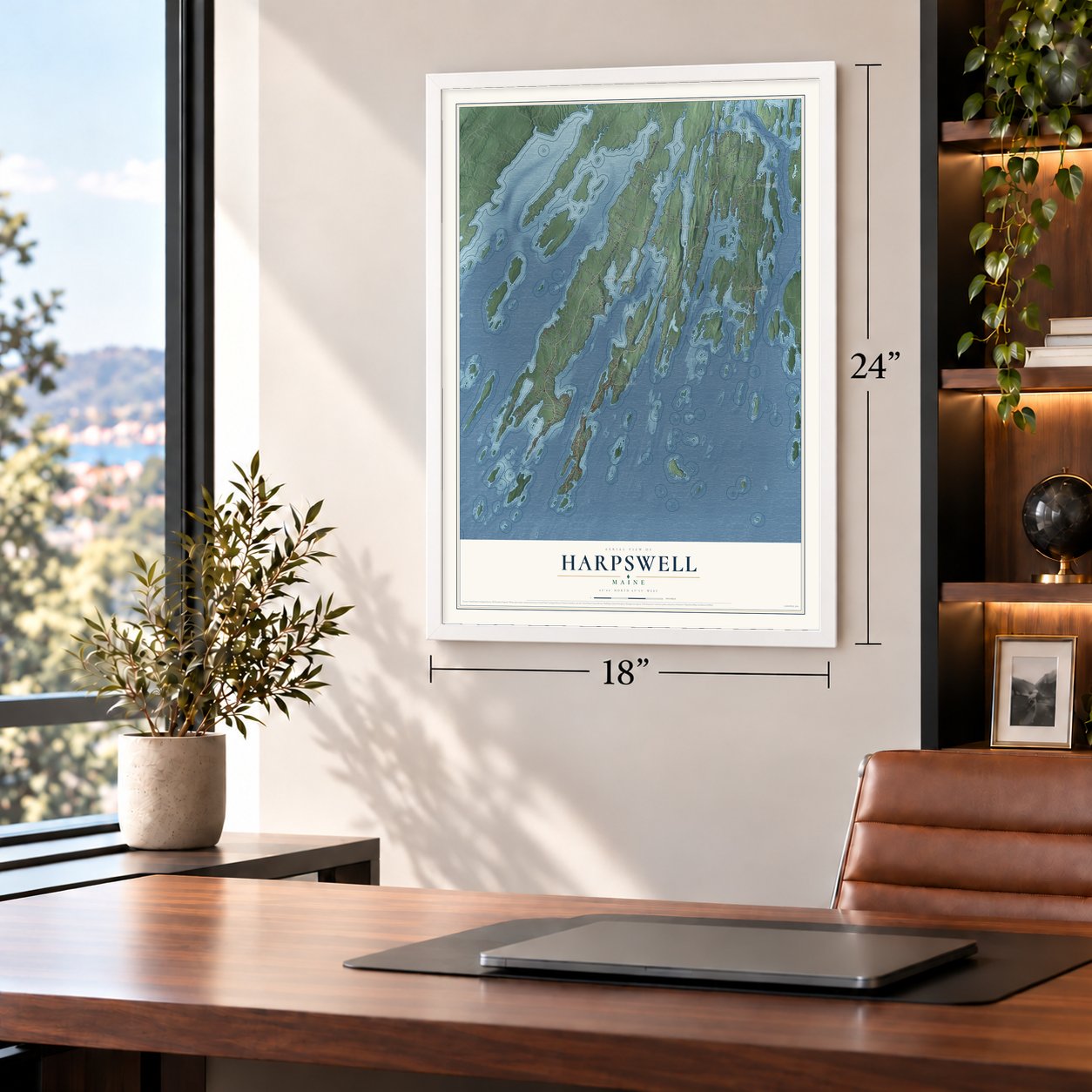
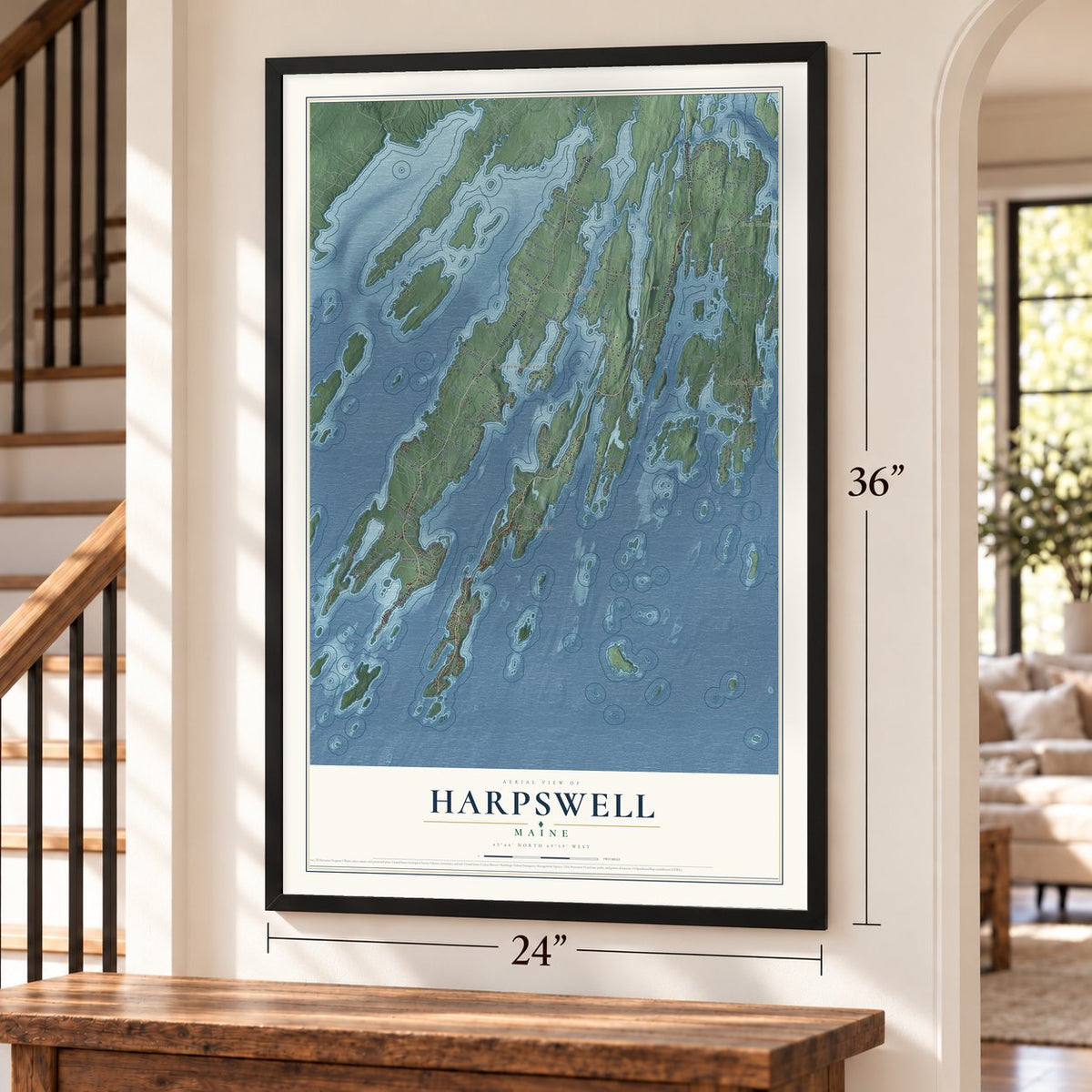
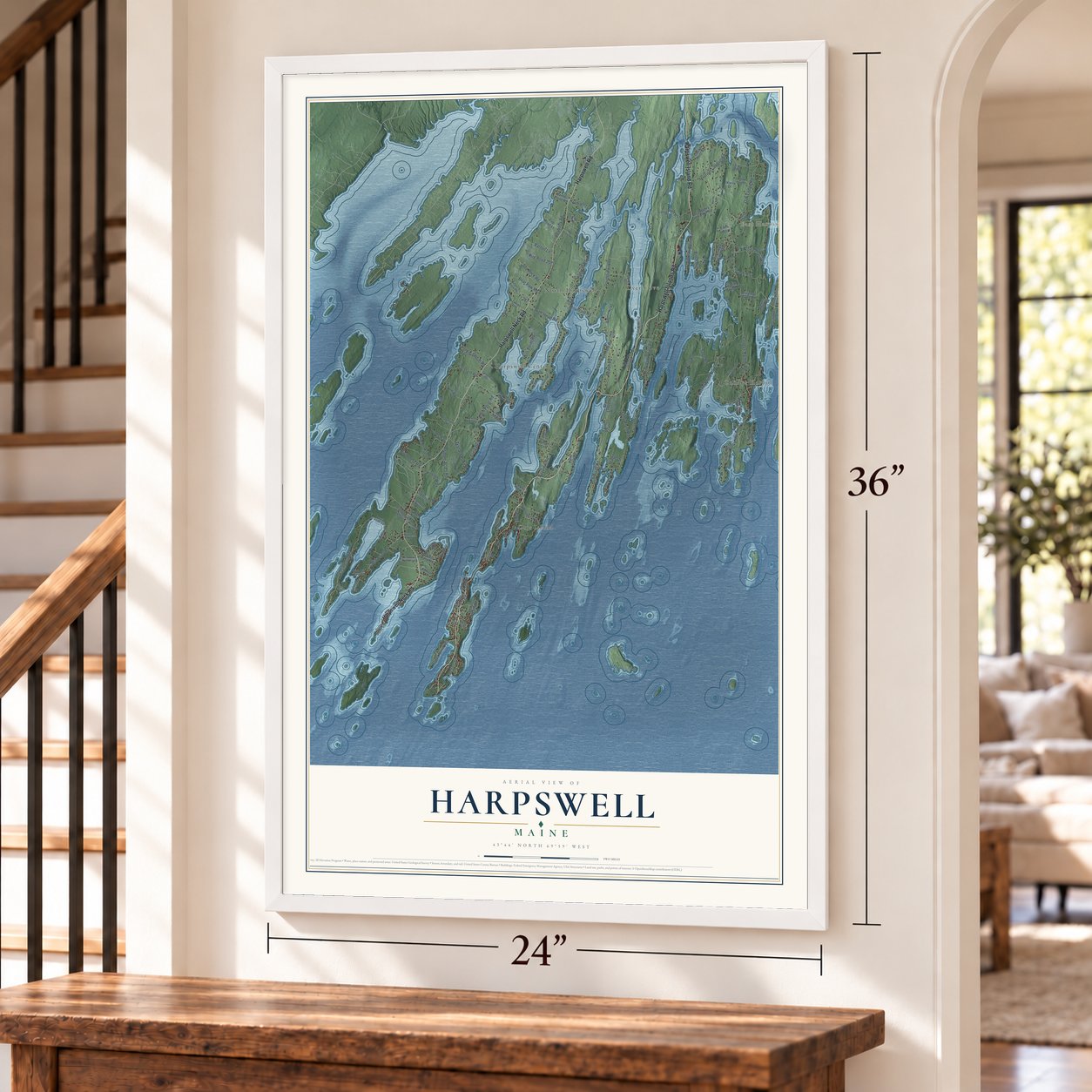
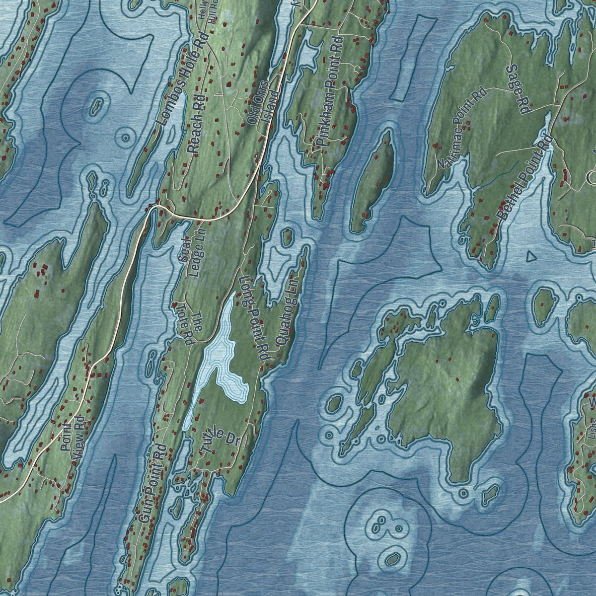
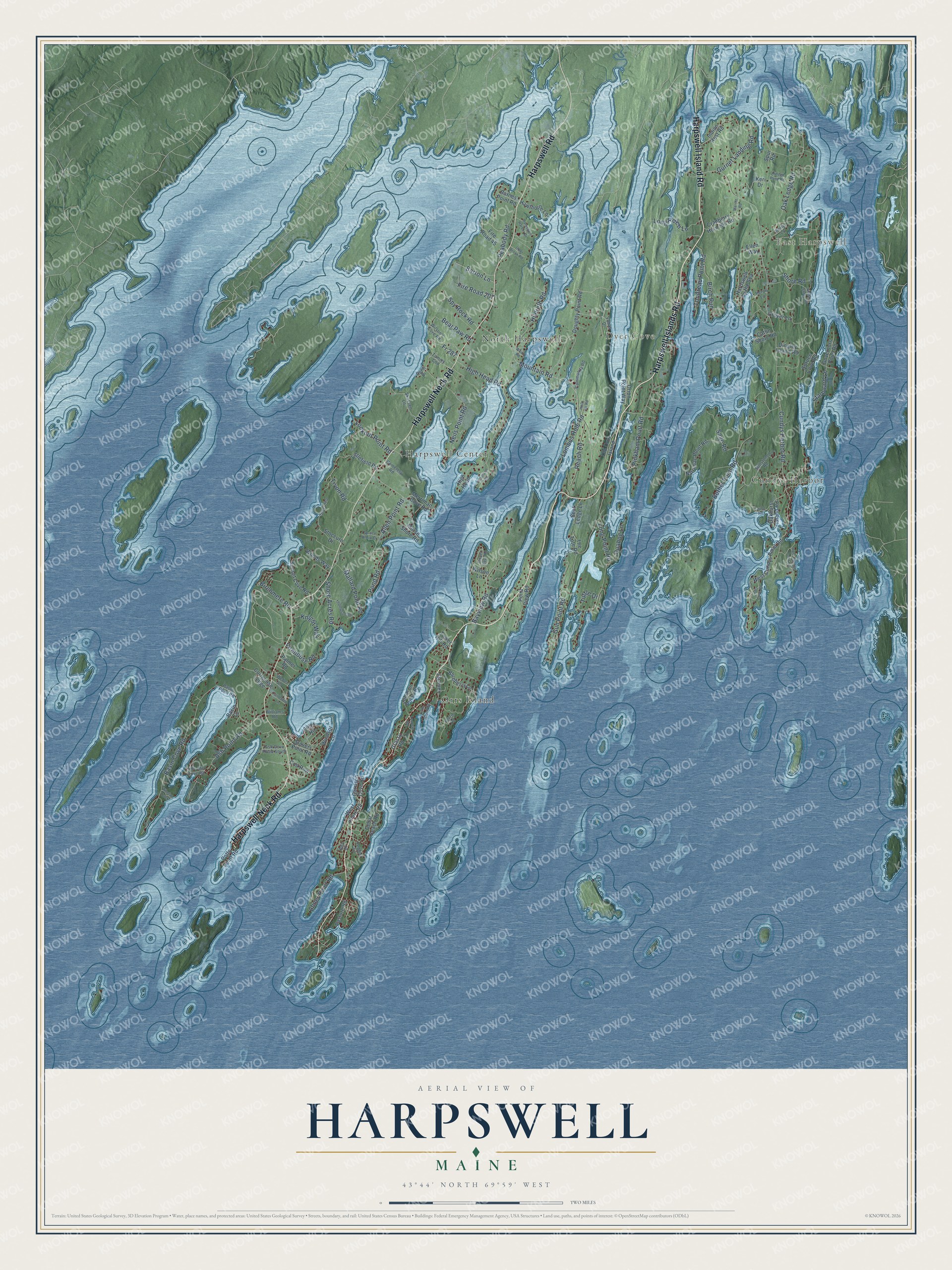
Explore Harpswell, Maine from a whole new perspective. Created using aerial imagery and detailed geographic data, this map captures Harpswell building by building, with labeled streets, familiar landmarks, and shaded topographical relief that highlights the natural contours of the landscape.
Combining modern data with the timeless character of a vintage atlas, this map is just as interesting up close as it is beautiful on the wall. Whether you grew up in Harpswell, spent memorable years there, or call it home today, this unique map is a great way to celebrate a place that means something to you. Zoom in on the preview to look for your street, and then order a print to put your memories on the wall.
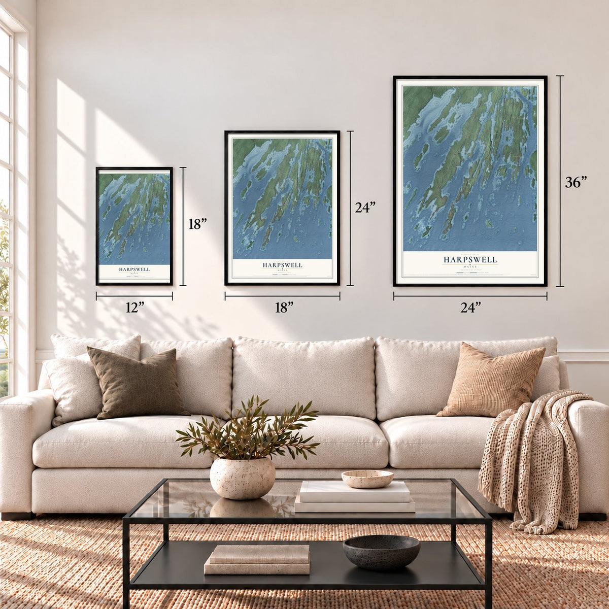
Three ways to hang it
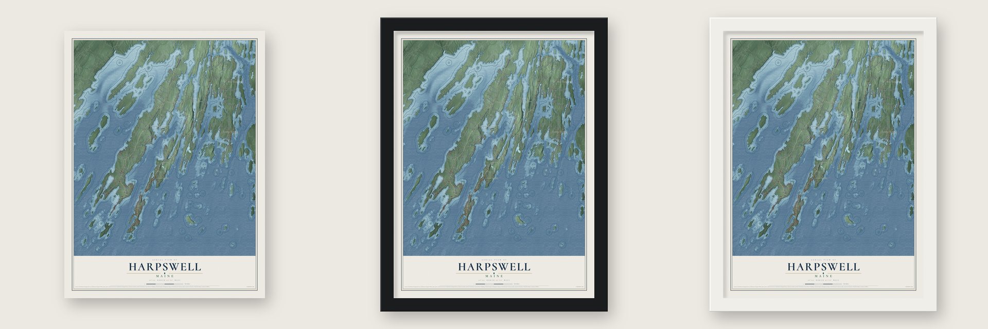
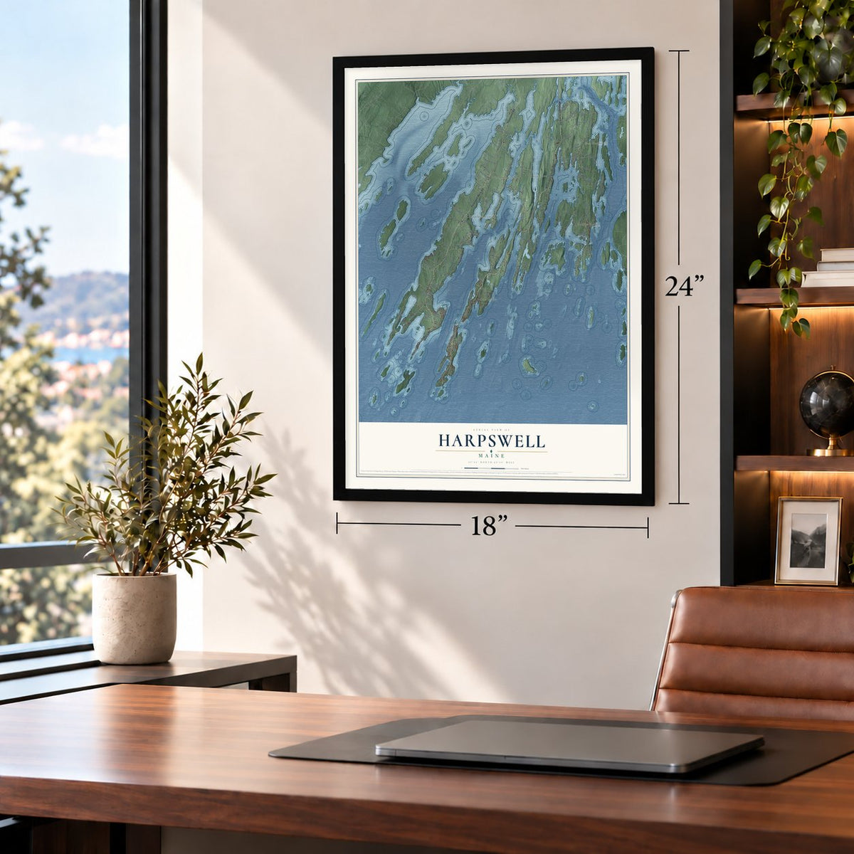
Unframed archival matte, a black wood frame or a white wood frame.
Up close
Geography Worth Displaying
This map was created using accurate cartographic data and authoritative geographic sources, including the U.S. Geological Survey (USGS) and FEMA. The map brings together terrain, waterways, roads, and building detail. The majority of the streets are labeled, houses are accurately depicted, and the topography is derived from government sources. Combining local data with carefully composed color and shading leads to this beautifully detailed Harpswell artwork for your wall.
Rather than simply showing street outlines, we’ve included as many of the street names as we could reasonably fit on the map while keeping their names legible. Zoom in on the high resolution preview to see exactly what’s on the map. We truly set out to create a statement piece for anyone who loves Harpswell. So whether it’s for you, or a gift for someone you love, we hope this map of Harpswell brings back fond memories.
Explore the full map of Harpswell, Maine and read about the local places it shows.
Find your street
Names on the Harpswell map
Every name below is printed on this map. Look for your street, your school, the park where you played, or the pond down the road.
Places and landmarks6
- East Harpswell
- Dyer Cove
- Harpswell Center
- Orrs Island
- North Harpswell
- Cundys Harbor
Streets and roads129
- Harpswell Islands Road
- Harpswell Island Road
- Harpswell Neck Road
- Harpswell Road
- Long Point Road
- Cundys Harbor Road
- Mountain Road
- Basin Cove Road
- High Head Road
- Gun Point Road
- Allen Point Road
- Bethel Point Road
- Oak Ledge Road
- Ash Point Road
- Pinkham Point Road
- Long Reach Lane
- Neils Point Road
- Bayview Road
- Reach Road
- Tondreau Point Road
- Hildreth Road
- Birch Run
- Sage Road
- Peabody Road
- Gurnet Landing Road
- Spy Rock Road
- Mallard Pond Road
- Abner Point Road
- Shore Acres Road
- Lombos Hole Road
Show all 129 streets
- Shore Road
- Lookout Point Road
- Birchmere Road
- Quahog Lane
- Bear Paw Road
- Knight Way
- Starboard Lane
- Tryon Road
- Barton Lane
- Fire Road 207
- Firehouse Road
- Fr 287
- Pond Road
- Tuttle Drive
- Blueberry Lane
- West Cundys Point Road
- Doughty Point Road
- Dingley Island Road
- Harpswell by the Sea
- Natrimac Point Road
- Sunset Cove Road
- Keri Drive
- Littlefield Road
- Windsor Lane
- Stovers Point Road
- Indian Rest Road
- Oakhurst Island Road
- Johnson Point Road
- Cranberry Horn Hill Road
- Curtgoose Ledge
- Governors Point Road
- West Shore Road
- Morse Shore Road
- Old Orrs Island
- Hawthorne Lane
- The Tote Road
- Cedar Beach Road
- Eider Road
- Fire Road 45
- Grover Lane
- Merriman Cove Road
- Woods Way
- Spruce Cove Road
- Seal Ledge Lane
- Garrison Cove Road
- Point View Road
- Lane Road
- Orion Point Way
- Cod Row
- Pasture Road
- Barnes Point Road
- Stoccuro Drive
- Palmer Road
- Grassy Road
- Wilson Lane
- Catlin Shore Road
- Potts Point Road
- Tower Hill Road
- Ellen Way
- Spur Road
- High Head
- Basin Cv
- Millstone Road
- Skassen Lane
- Wilson's Cove Road
- Ash Cove Road South
- Tide Mill Cove Road
- Community Road
- Basiin Point Road
- Tommy Cod
- Williams Road
- Weber Lane
- Cemetery Road
- Ferris Road
- Stocurro
- Perry Lane
- Yuhas Drive
- Pebble Lane
- Heron Lane
- Dorie Drive
- Ada Drive
- East Cundys Point Road
- Wallace Shore Road
- Dipper Cove Road
- Thompson Road
- Harpswell Harbor Drive
- Hidden Pond Road
- Headland Road
- Fairhaven Lane
- Lishs Cove Road
- Taylor Road
- Otter Brook Road
- Holly Hill Road
- Little Island Road
- Spruce Brook Drive
- Leeman Road
- Merritt Road
- Wharf Road
- Tibetan Track
Names are listed as they appear on the printed map. Zoom into the product photos to find them.
About Harpswell, Maine
Harpswell is a town of 5,031 people in Cumberland County, on Casco Bay. It takes in Harpswell Neck, a peninsula joined to the mainland, and three large islands linked by bridges: Sebascodegan, which locals call Great Island, Orr's and Bailey. The Abenaki named the neck Merriconeag, or "quick carrying place," because canoes could be carried easily across its narrow width.
In 1632 Thomas Purchase and George Way were granted Harpswell Neck, but Purchase gave up his settlement after the Abenaki raided his house during King Philip's War. Raids kept settlers away until a truce came with the Treaty of 1725, and by 1731 many families had returned. The Massachusetts General Court incorporated the town in 1758, splitting it off from North Yarmouth and naming it for an English village in Lincolnshire.
- Capturing the PicaroonDuring the Revolution, Nathaniel Purinton, a Harpswell farmer and mill owner, was a lieutenant colonel in the Second Cumberland County Regiment. When a British privateer began working Casco Bay, he gathered a crew aboard the 14-ton schooner America, caught the gunboat Picaroon, and took both it and a vessel it had seized as a prize.
- Maine's largest tide millIn 1867 a gristmill at Basin Cove began running on the tides, the largest tide mill in Maine at the time. A dam held back the water at high tide, and the water powered the mill as it drained out on the ebb. The mill could grind 50,000 bushels of grain a year until it closed in 1885. Harpswell had as many as 15 tide mills.
- A bridge of granite cribsBailey Island people wanted a bridge to Orr's Island for decades before the Maine Legislature paid for one. Llewelyn N. Edwards, the state's bridge engineer, built it in 1927 and 1928 from granite slabs stacked in open cribs, so the tide runs straight through beneath the concrete road. It joined the National Register in 1975, was named a National Historic Civil Engineering Landmark in 1984, and may be the only bridge of its kind anywhere.
- Peary's Eagle IslandIn 1881 Arctic explorer Robert Peary bought Sawungun Island, just off Harpswell Neck. He gave it a new name, Eagle Island, and made it his permanent home. Today it is open to visitors as the Eagle Island State Historic Site.
- The Pearl of Orr's IslandHarriet Beecher Stowe set a novel here, The Pearl of Orr's Island, which ran in installments in 1861. A legend of Orr's Island inspired John Greenleaf Whittier's 1866 poem "The Dead Ship of Harpswell," and Elijah Kellogg drew on Harpswell and its islands for his Elm Island books for children, published from 1868 to 1870.
Keep exploring Maine
Harpswell is one of 536 Maine towns we've mapped. Every dot on the map is a print of its own.
The search covers every state, Maine first.
Near Harpswell
Order 2 or more town maps and save 10%. Shown in the size and finish you picked above, so they hang as a set.
- Chebeague Island 12" x 18" / Archival Matte Print $39.99
- Phippsburg 12" x 18" / Archival Matte Print $39.99
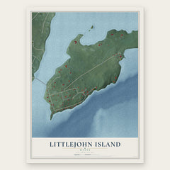
- Littlejohn Island 12" x 18" / Archival Matte Print $39.99
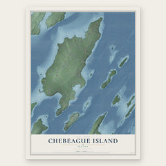

More maps nearby: Cousins Island, Freeport, Long Island, Yarmouth and Mast Landing.
The art of mapping a place
How This Map Was Made
Real places. Remarkable detail. Discover the layers that turn geographic data into a map of home.

The view from above
Aerial imagery reveals the character of the land: woodland, open fields, and the patterns of a place.

The shape of the land
Elevation data brings hills, valleys, and subtle changes in the landscape into view.

The details of home
Roads, waterways, and building footprints come together to make the map feel unmistakably local.

Geography becomes art
Considered color, shading, and typography bring the layers together in a map made for your wall.


Process illustrated with Mendon, Massachusetts. Aerial imagery: USDA NAIP. Terrain: USGS 3D Elevation Program. Map details and finished artwork: KNOWOL.
The Details
About This Print
Choose an archival matte print, or a black or white Ayous wood frame. The archival matte print is unframed.
Select your size and finish above to see the matching product image and price.
Materials & Craftsmanship
A contemporary map with the character of a classic atlas, printed on archival matte paper. Optional frames are made from Ayous wood.
Your printed map does not include the watermark shown in the full-map preview.
Shipping & Delivery
Free shipping within the United States. Every print is made to order in the USA.
Buying a gift? Add a note in your cart and we'll include it. We never put prices in the package.
Prints ship within 2 to 3 business days. Allow 7 to 10 days total from ordering for delivery. Timing may vary during holidays or periods of high order volume.
Read our shipping policy.
Returns and damaged prints
Each print is made to order. Change-of-mind refunds are not available after production.
If your print arrives damaged, misprinted or incorrect, contact support@knowol.com within 30 days of receiving it. Include your order number, photos and a description of the issue.
Read our full refund and replacement policy. For questions about your order, email support@knowol.com.