
Search for another town

Free U.S. delivery 7 to 10 days after you order
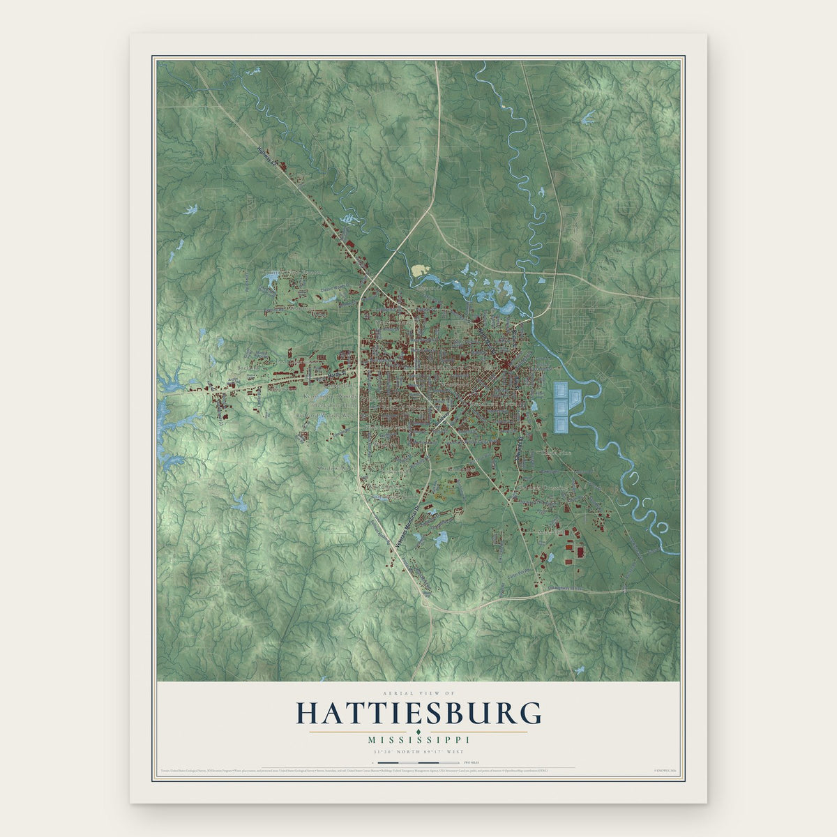
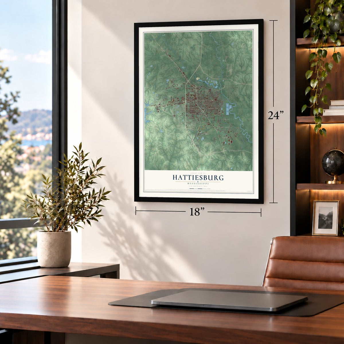
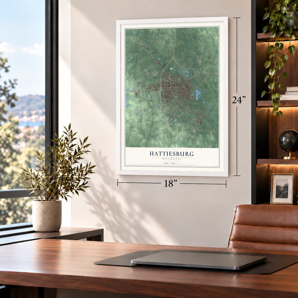
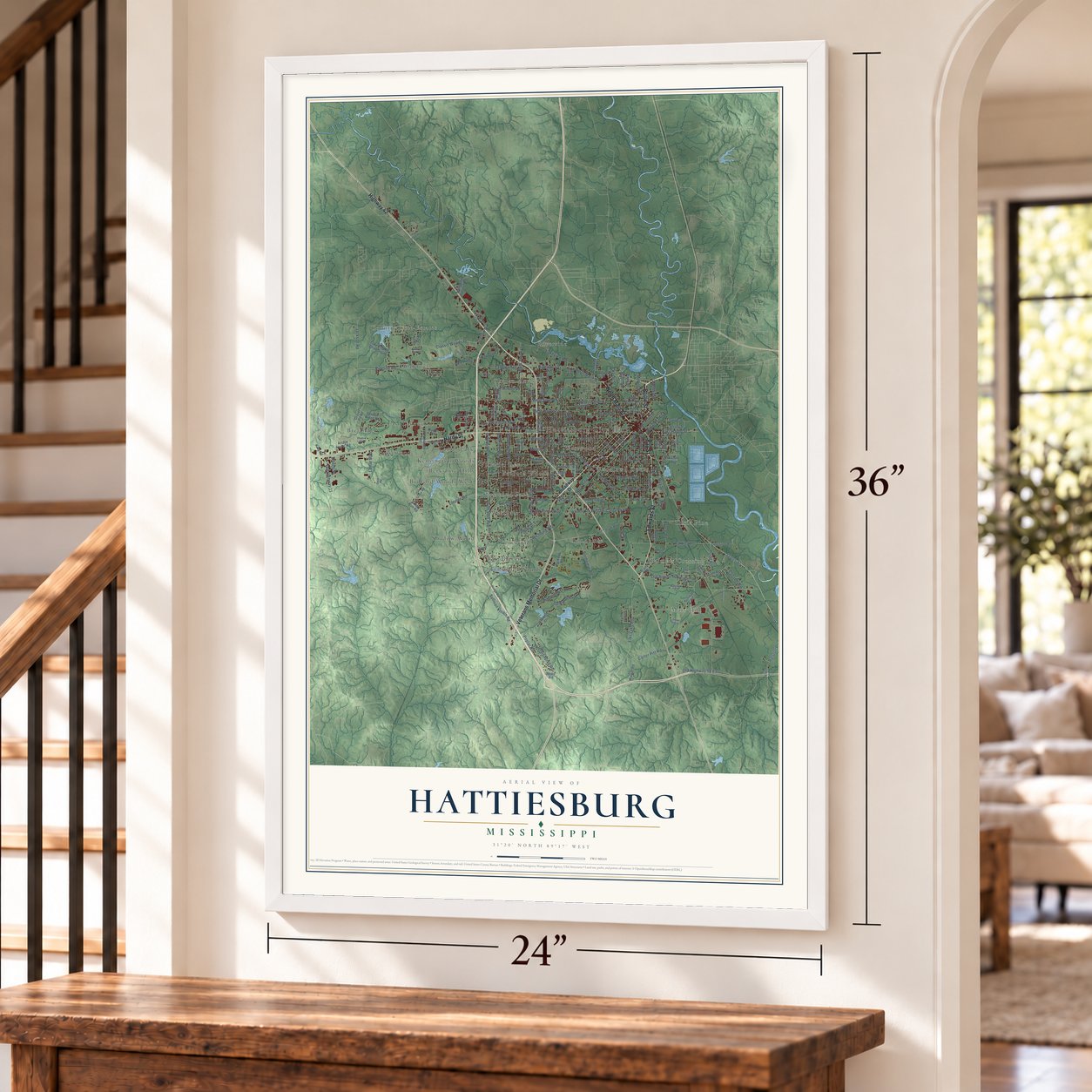
Hattiesburg, Mississippi Map Art
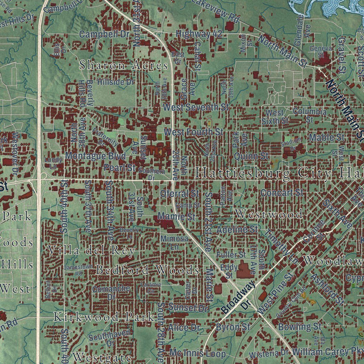
Building by building, with labeled streets and shaded relief.
12" x 18" Archival Matte Print
A Map of Home. A Work of Art.
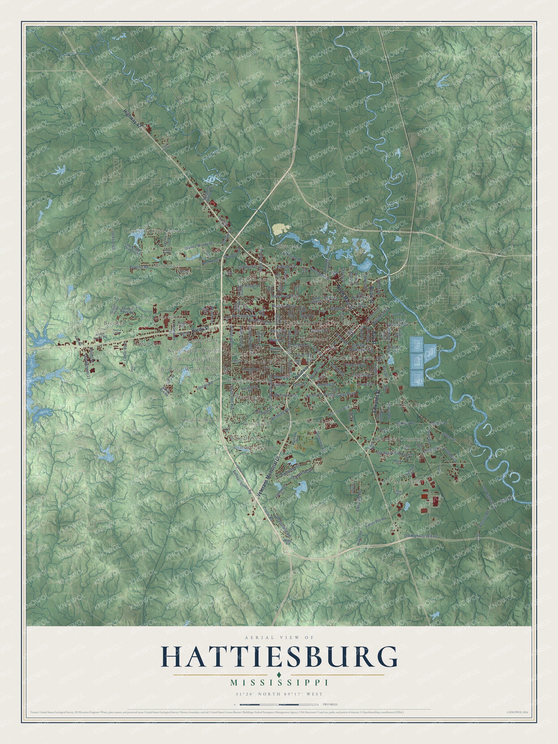
Explore Hattiesburg, Mississippi from a whole new perspective. Created using aerial imagery and detailed geographic data, this map captures Hattiesburg building by building, with labeled streets, familiar landmarks, and shaded topographical relief that highlights the natural contours of the landscape.
Combining modern data with the timeless character of a vintage atlas, this map is just as interesting up close as it is beautiful on the wall. Whether you grew up in Hattiesburg, spent memorable years there, or call it home today, this unique map is a great way to celebrate a place that means something to you. Zoom in on the preview to look for your street, and then order a print to put your memories on the wall.
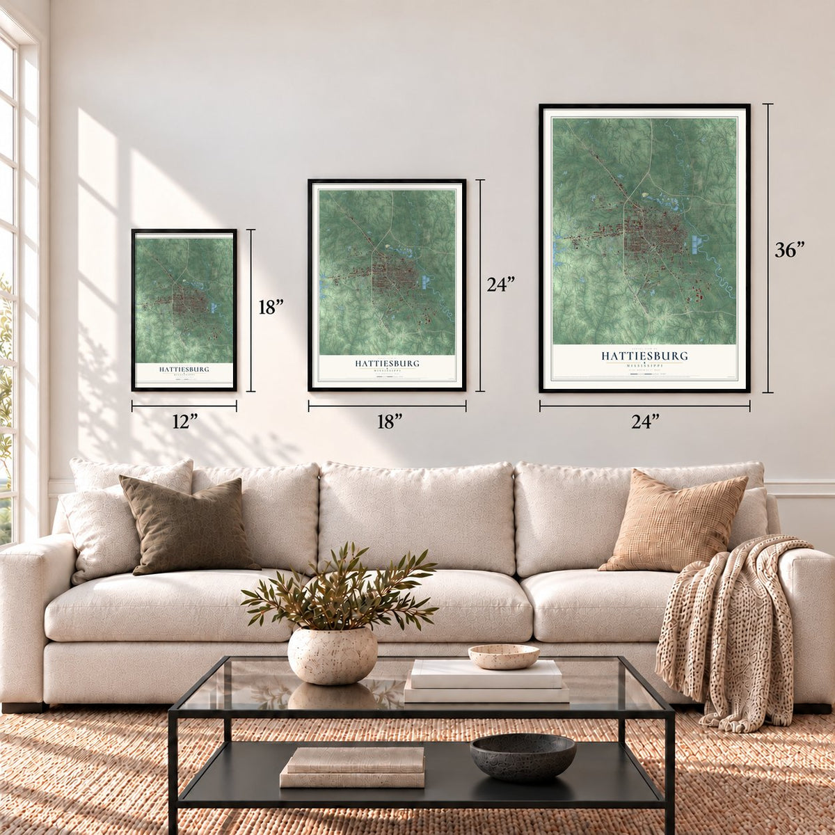
Three ways to hang it
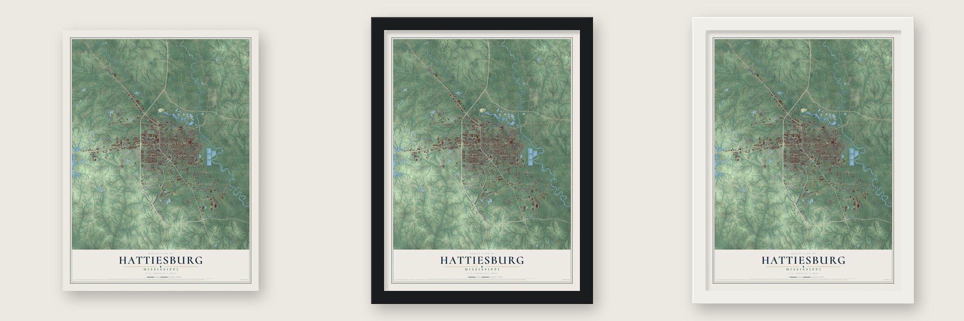
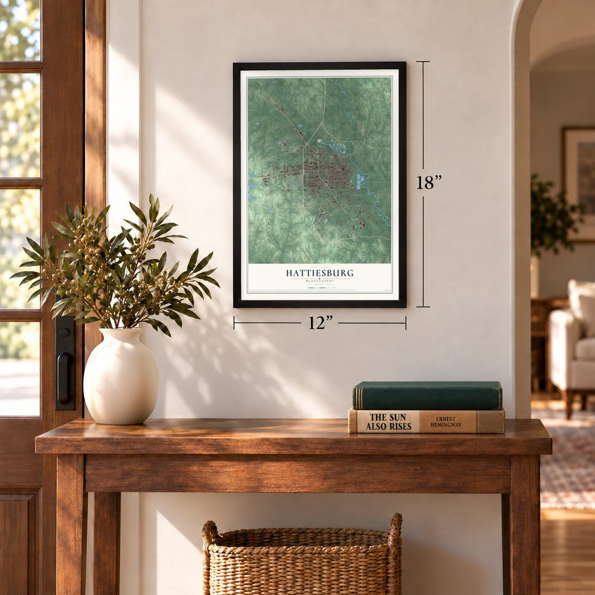
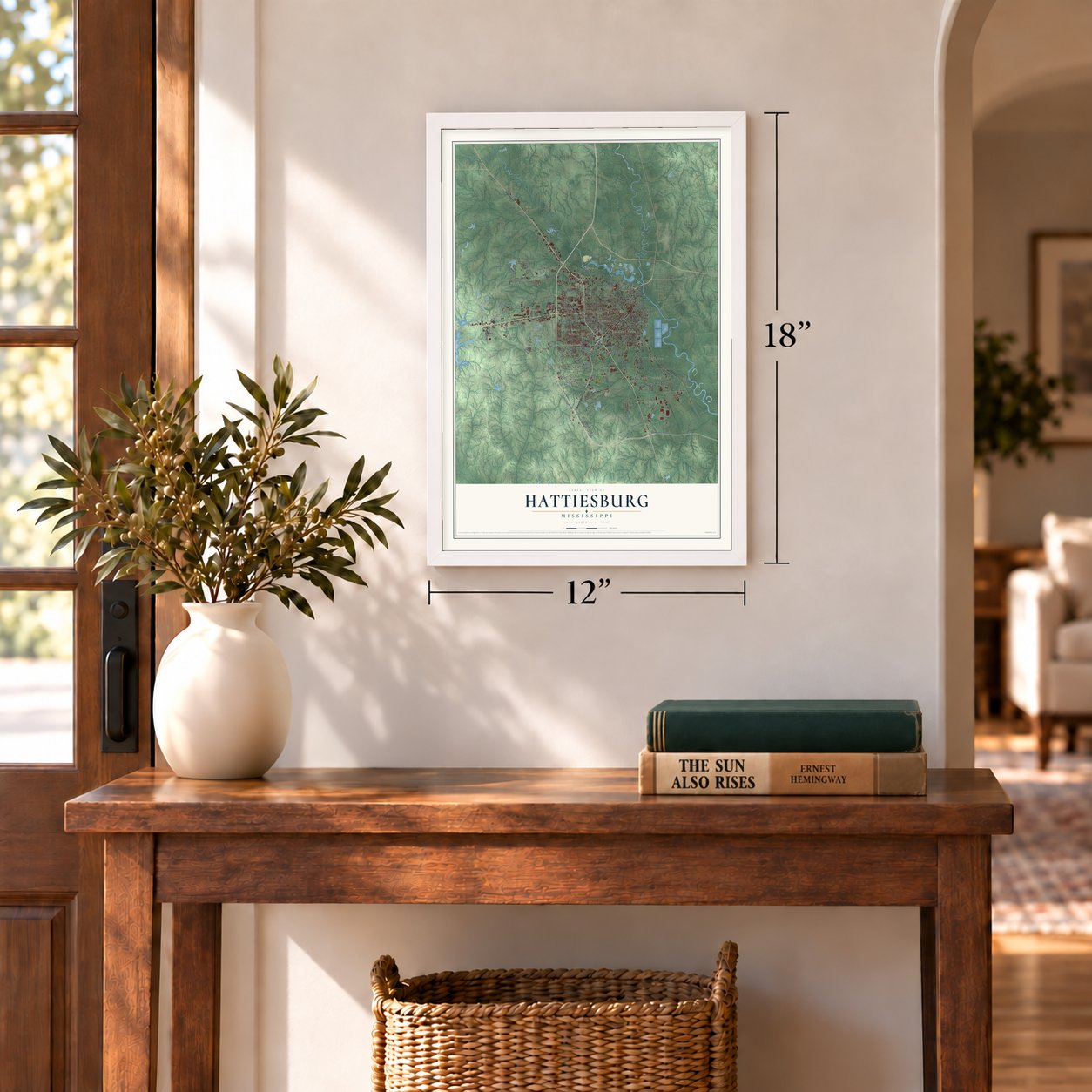
Unframed archival matte, a black wood frame or a white wood frame.
Up close
Geography Worth Displaying
This map was created using accurate cartographic data and authoritative geographic sources, including the U.S. Geological Survey and the Census Bureau. The map brings together terrain, waterways, roads, and building detail. The majority of the streets are labeled, houses are accurately depicted, and the topography is derived from government sources. Combining local data with carefully composed color and shading leads to this beautifully detailed Hattiesburg artwork for your wall.
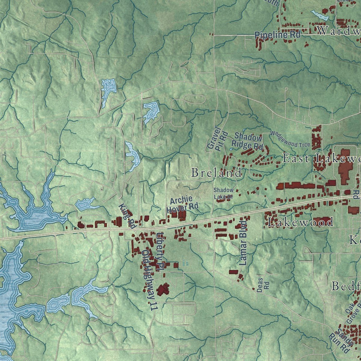
Rather than simply showing street outlines, we’ve included as many of the street names as we could reasonably fit on the map while keeping their names legible. Zoom in on the high resolution preview to see exactly what’s on the map. We truly set out to create a statement piece for anyone who loves Hattiesburg. So whether it’s for you, or a gift for someone you love, we hope this map of Hattiesburg brings back fond memories.
Read the story behind this map of Hattiesburg, Mississippi from 2026.
Find your street
Names on the Hattiesburg map
Every name below is printed on this map. Look for your street, your school, the park where you played, or the pond down the road.
Places and landmarks26
- Hattiesburg City Hall
- Bedford Woods
- Bedford Woods West
- Berkshire Hills
- Bonhomie
- Breland
- Country Club Estates
- Dixie Pine
- East Lakewood
- Innswood
- Innswood South
- Kensington Woods
Show all 26 places
- Kirkwood Park
- Lakewood
- Lamar Park
- Mars Hill
- Palmers Crossing
- Riverside
- Shadow Wood
- Sharon Acres
- Villa del Rey
- Wardwell
- Westgate
- Westwood
- Woodhaven
- Woodlawn Court
Streets and roads183
- Hardy Street
- Edwards Street
- North Main Street
- Bouie Street
- Bay Street
- Highway 42
- Veterans Memorial Drive
- Old Highway 49
- James Street
- Lincoln Road
- South 40th Street
- Elks Lake Road
- East Hardy Street
- Montague Boulevard
- West Pine Street
- North 31st Avenue
- South 40th Avenue
- Tuscan Avenue
- Old Airport Road
- South 21st Avenue
- Ashford Street
- Byron Street
- Adeline Street
- Pipeline Road
- Hall Avenue
- Sixth Avenue
- West Fourth Street
- Bonhomie Road
- West Seventh Street
- Lakeview Road
Show all 183 streets
- Classic Woods Drive
- Classic Drive
- Mamie Street
- Richburg Road
- South 28th Avenue
- South 34th Avenue
- Timberton Drive
- Jervis Mims Road
- Jackson Road
- Pearl Street
- William Carey Parkway
- Old Highway 98 East
- Barkley Road
- Sullivan Kilrain Road
- Mable Street
- Carter Pitt Road
- Quinn Street
- Pinehills Drive
- Poplar Road
- Mobile Street
- Ralston Road
- Old Highway 11
- Campbell Drive
- South Tipton Street
- Cypress Avenue
- Oferral Street
- Tatum Road
- Mc Innis Loop
- Katie Avenue
- Bowling Street
- Sims Road
- Saint Annes Drive
- Buschman Street
- Ronie Street
- Concart Street
- Lamar Boulevard
- Walnut Street
- Hood Road
- Gravel Street
- Satchell Road
- Timothy Lane
- Fairley Street
- Alice Drive
- County Drive
- Roy Street
- Liberty Place
- Rouse Road
- Sunset Drive
- Scott Street
- Marie Street
- Broadway Drive
- South 31st Avenue
- Sullivan Drive
- Wsf Tatum Boulevard
- Corinne Street
- Parkway Boulevard
- Sandy Run Road
- East Seventh Street
- South 17th Avenue
- North 25th Avenue
- Weathersby Road
- Arledge Street
- Campbell Loop
- McCall Street
- West Sixth Street
- Lake Estates Drive South
- Brady Road
- Shadow Ridge Road
- North 38th Avenue
- Beverly Hills Road
- Westover Drive
- Park Avenue
- Gleneagles Drive
- Cahal Street
- Columbia Street
- Hillside Drive
- Eddy Street
- Gulfport Street
- Southhaven Drive
- Gravel Pit Road
- West Hills Drive
- South 37th Avenue
- Wisteria Drive
- Fuller Street
- East Front Street
- Dewey Street
- Glendale Avenue
- Alcorn Avenue
- Langston Road
- Grace Avenue
- Currie Street
- Pine Tree Drive
- Jersey Street
- Comanche Drive
- Mammoth Springs Road
- Archie Hover Road
- Walker Road
- Third Avenue
- Sunset Avenue
- Malcolm Street
- Annie Street
- Mimosa Lane
- King Road
- Mims Road
- Park Place
- Jasmine Drive
- Camp Street
- Hodge Road
- Oak Grove Road
- East Fourth Street
- Geneva Street
- West Street
- Att Avenue
- Duke Avenue
- Southern Drive
- Fraternity Drive
- Franklin Road
- Monroe Street
- Canal Drive
- Carlsbad
- Magnolia Drive
- Lilac Street
- Patton Avenue
- Carter Drive
- Mixon Street
- Lundy Lane
- Deas Road
- Ellis Drive
- East Drive
- Cox Street
- North 19th Avenue
- Country Club Road
- Wedgewood Trce
- Jamestown Road
- Rawls Springs Loop Road
- Burketts Creek Drive
- Shadow Lake Drive
- Ida Avenue
- Golf Course Road
- Beverly Lane
- North 28th Avenue
- Laramie Circle
- North 21st Avenue
- Johnston Street
- South Hills Drive
- Clark Street
- Stadium Drive
- Belfort Drive
- Morton Street
- Country Club Lane
- Academy Drive
- Peps Point Road
- North Gate Road
Names are listed as they appear on the printed map. Zoom into the product photos to find them.
About Hattiesburg, Mississippi
Hattiesburg is a city of 48,730 people and the seat of Forrest County, where the Leaf and Bouie rivers meet in Mississippi's Piney Woods. Captain William H. Hardy, a civil engineer, founded the town in 1882. The place had been called Twin Forks and then Gordonville before Hardy renamed it for his wife, Hattie, and it was incorporated in 1884 with about 400 residents.
That same year the New Orleans and Northeastern line was finished from Meridian through Hattiesburg to New Orleans. The Gulf and Ship Island Railroad, which took 20 years to build, later crossed it on the way from Gulfport to Jackson and set off a lumber boom in 1897 as crews cut the inland pine forests. With so many rail lines meeting here, a local newspaper contest in 1912 gave Hattiesburg the nickname it still carries, the Hub City.
- Two colleges in two yearsMississippi Normal College opened in Hattiesburg in 1910 to train teachers, and the state encyclopedia calls its founding a momentous occasion for the city. It grew into the University of Southern Mississippi. A year later Mississippi Woman's College opened here too, and it later became William Carey University.
- A USO club from 1942Because local facilities were segregated, the East Sixth Street USO Building opened in 1942 as a club for African American soldiers training at Camp Shelby. It is the last USO club site left in the United States, and it joined the National Register in 2004. Today it houses the African American Military History Museum, with exhibits running from the Revolutionary War and the Buffalo Soldiers to Desert Storm.
- Freedom Day, 1964In 1960 fewer than 1% of Forrest County's Black residents could register to vote. In 1961 the Justice Department sued Registrar Theron Lynd, who became the first registrar in the South convicted under the 1957 Civil Rights Act. SNCC started a voter registration project here in 1962. On January 22, 1964, students and 50 northern clergymen joined an interracial picket at the courthouse without a single arrest, and the daily protest continued for months as the Perpetual Picket.
- Mississippi's first nurses' groupHattiesburg was a center of the Knights of Labor, and Ray Bryant, a city fireman, later led the state AFL-CIO as its first president. In 1911 Jennie Mae Quinn brought the city's trained nurses together in an association of graduate nurses, and no other group like it existed yet in Mississippi. The state's first Federation of Business and Professional Women's Clubs began here as well.
Keep exploring Mississippi
Hattiesburg is one of 461 Mississippi towns we've mapped. Every dot on the map is a print of its own.
The search covers every state, Mississippi first.
Near Hattiesburg
Order 2 or more town maps and save 10%. Shown in the size and finish you picked above, so they hang as a set.
- West Hattiesburg 12" x 18" / Archival Matte Print $39.99
- Arnold Line 12" x 18" / Archival Matte Print $39.99
- Glendale 12" x 18" / Archival Matte Print $39.99
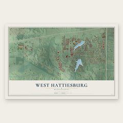
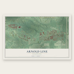
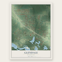
More maps nearby: Petal, Dixie, Oak Grove, Rawls Springs and Eastabuchie.
The art of mapping a place
How This Map Was Made
Real places. Remarkable detail. Discover the layers that turn geographic data into a map of home.

The view from above
Aerial imagery reveals the character of the land: woodland, open fields, and the patterns of a place.

The shape of the land
Elevation data brings hills, valleys, and subtle changes in the landscape into view.

The details of home
Roads, waterways, and building footprints come together to make the map feel unmistakably local.

Geography becomes art
Considered color, shading, and typography bring the layers together in a map made for your wall.


Process illustrated with Mendon, Massachusetts. Aerial imagery: USDA NAIP. Terrain: USGS 3D Elevation Program. Map details and finished artwork: KNOWOL.
The Details
About This Print
Choose an archival matte print, or a black or white Ayous wood frame. The archival matte print is unframed.
Select your size and finish above to see the matching product image and price.
Materials & Craftsmanship
A contemporary map with the character of a classic atlas, printed on archival matte paper. Optional frames are made from Ayous wood.
Your printed map does not include the watermark shown in the full-map preview.
Shipping & Delivery
Free shipping within the United States. Every print is made to order in the USA.
Buying a gift? Add a note in your cart and we'll include it. We never put prices in the package.
Prints ship within 2 to 3 business days. Allow 7 to 10 days total from ordering for delivery. Timing may vary during holidays or periods of high order volume.
Read our shipping policy.
Returns and damaged prints
Each print is made to order. Change-of-mind refunds are not available after production.
If your print arrives damaged, misprinted or incorrect, contact support@knowol.com within 30 days of receiving it. Include your order number, photos and a description of the issue.
Read our full refund and replacement policy. For questions about your order, email support@knowol.com.