
Search for another town

Free U.S. delivery 7 to 10 days after you order
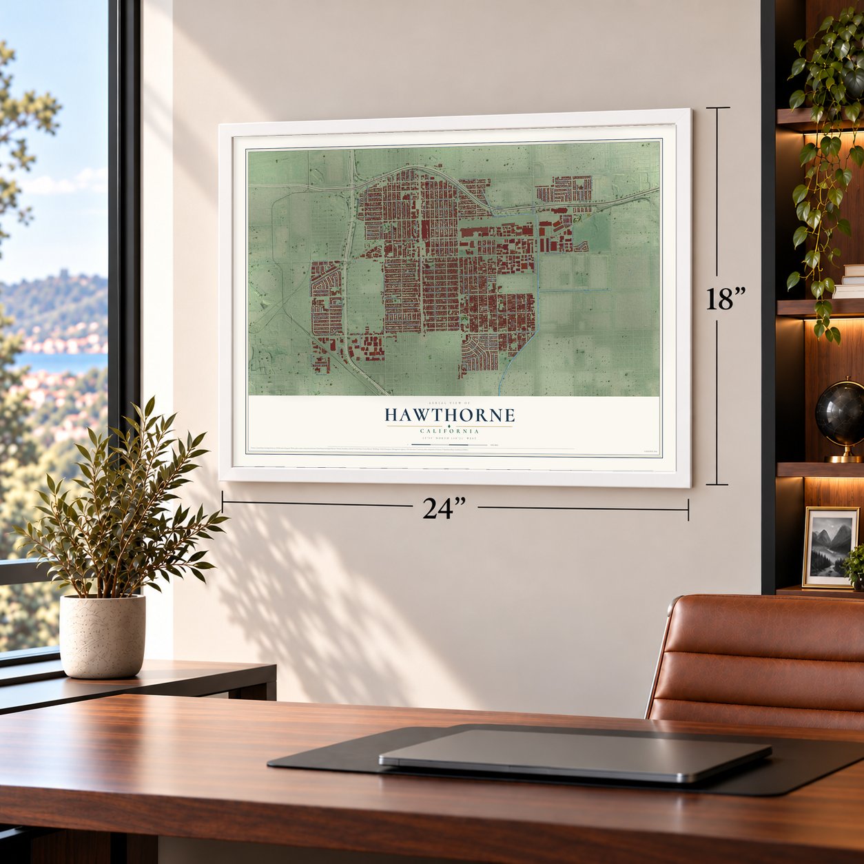
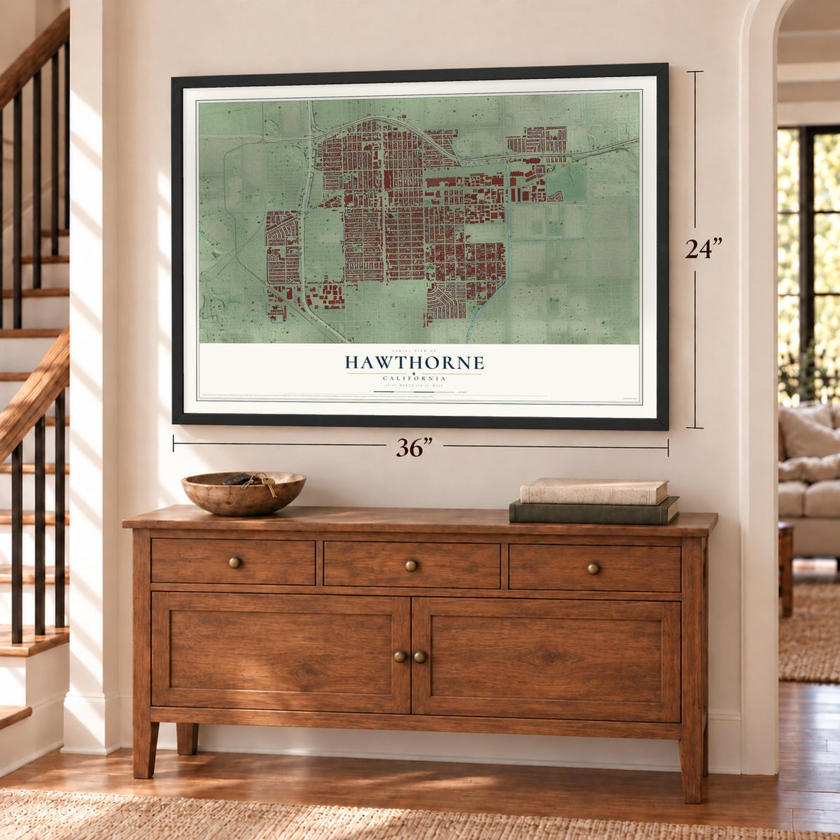
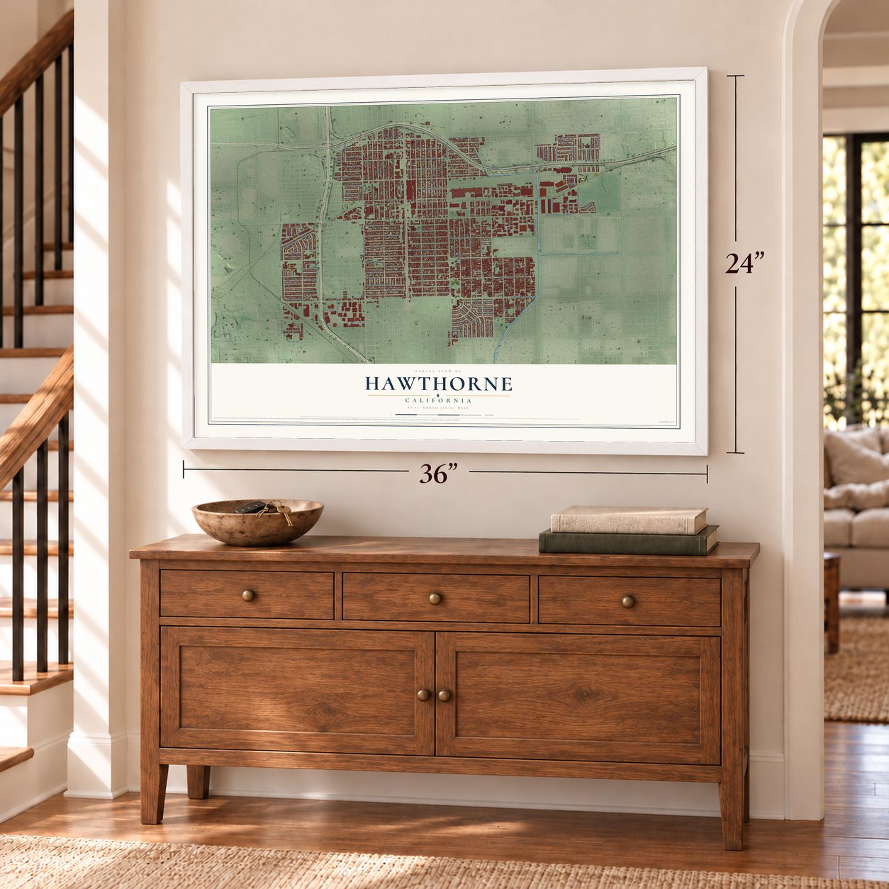
Hawthorne, California Map Art
Building by building, with labeled streets and shaded relief.
12" x 18" Archival Matte Print
A Map of Home. A Work of Art.
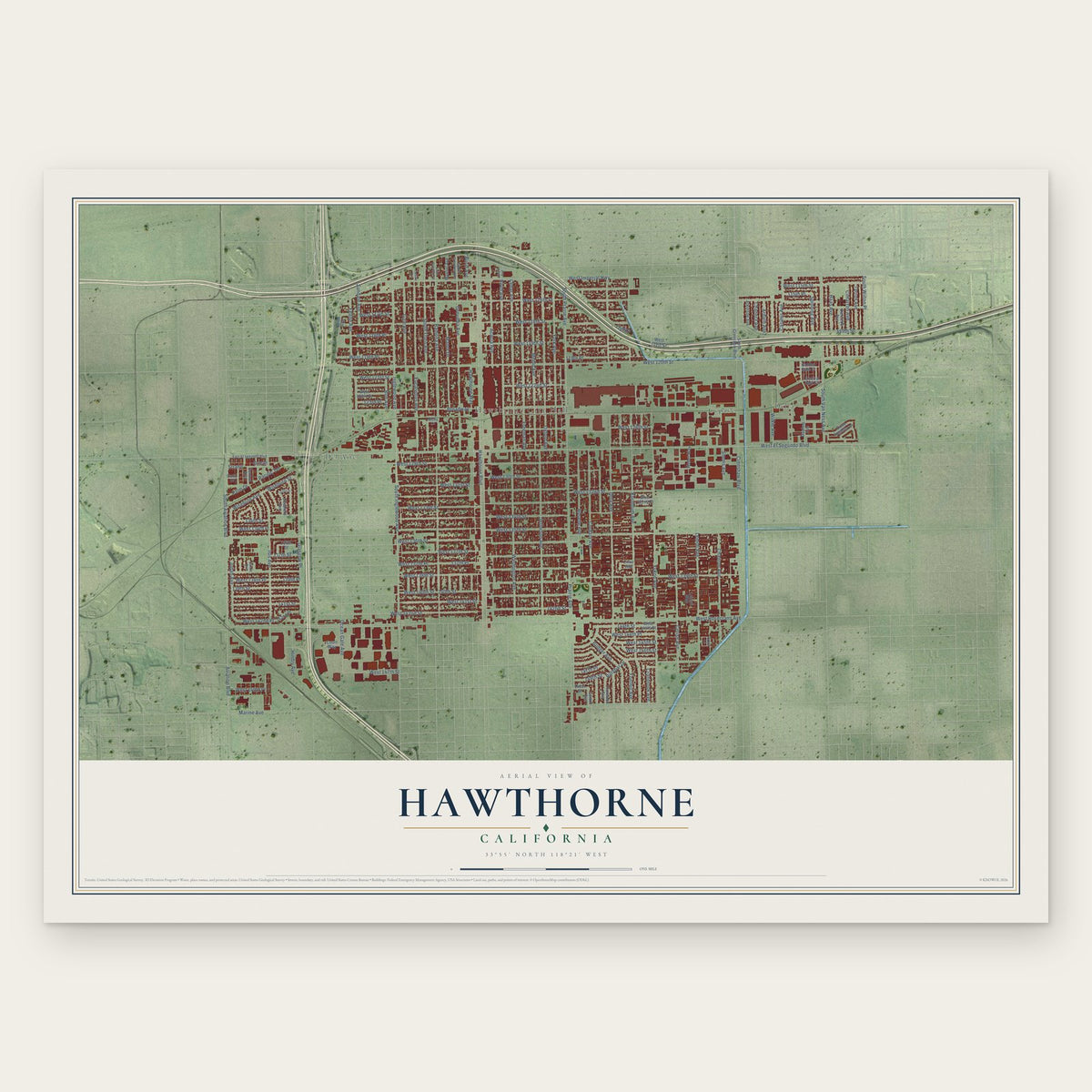
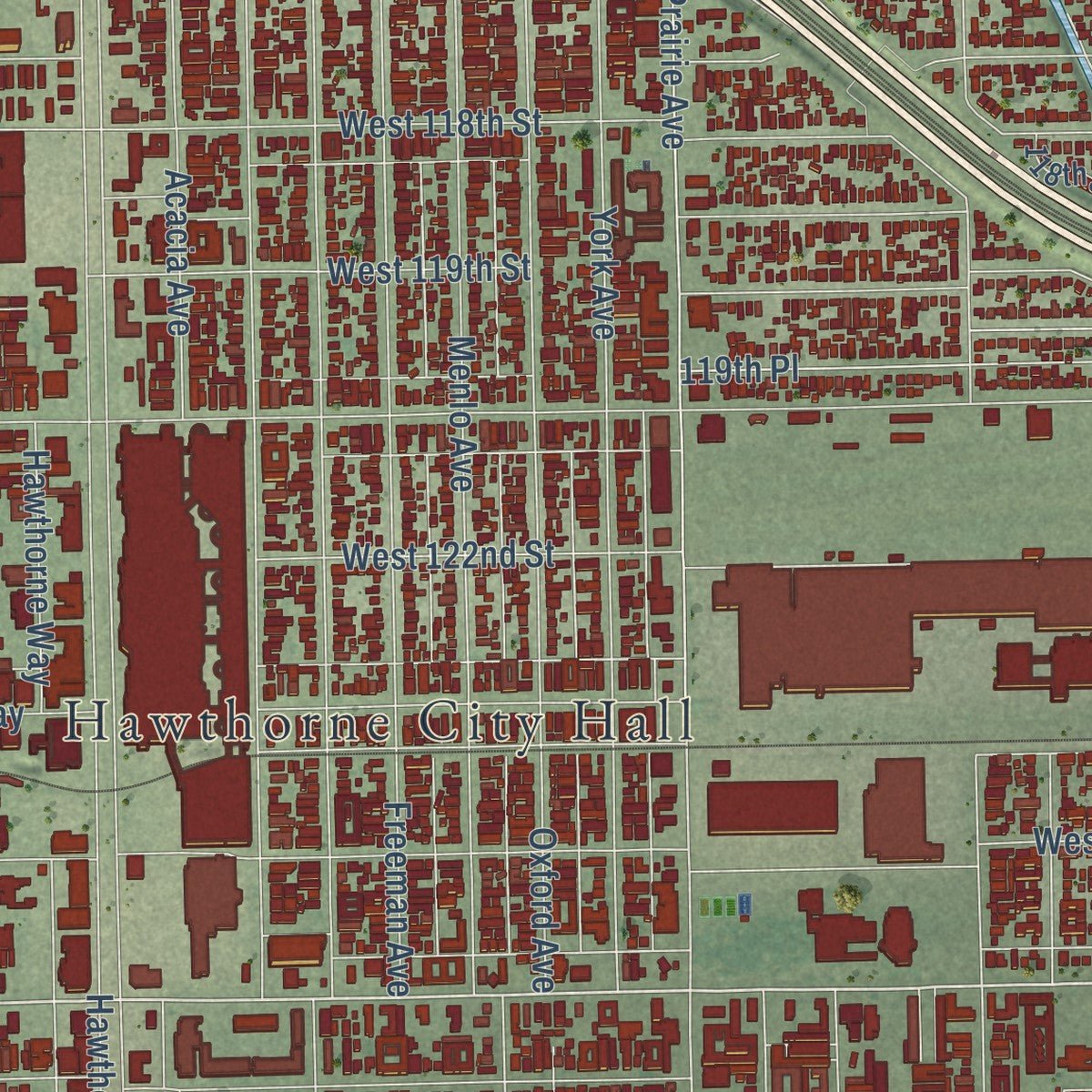
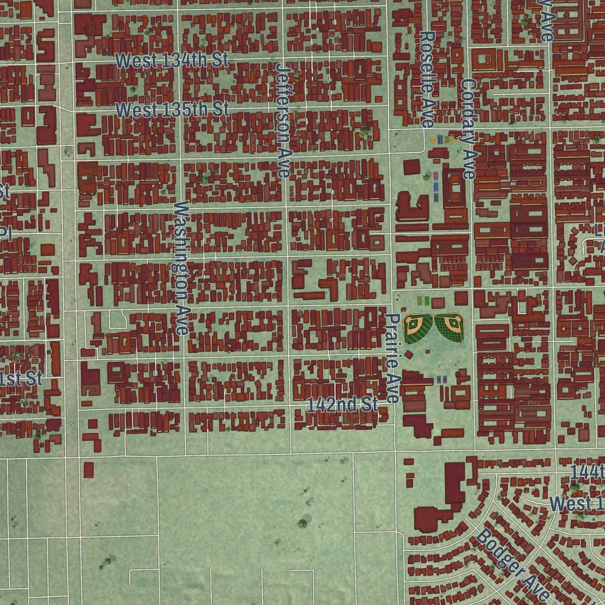
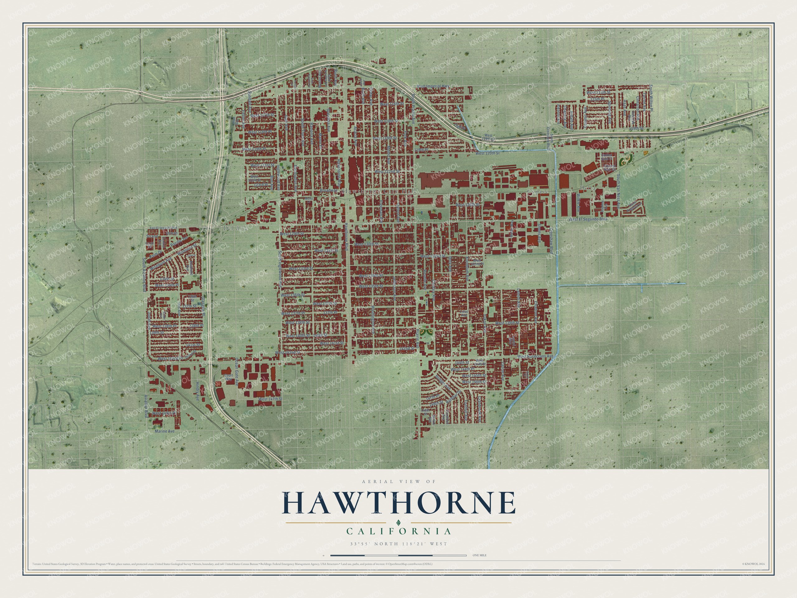
Explore Hawthorne, California from a whole new perspective. Created using aerial imagery and detailed geographic data, this map captures Hawthorne building by building, with labeled streets, familiar landmarks, and shaded topographical relief that highlights the natural contours of the landscape.
Combining modern data with the timeless character of a vintage atlas, this map is just as interesting up close as it is beautiful on the wall. Whether you grew up in Hawthorne, spent memorable years there, or call it home today, this unique map is a great way to celebrate a place that means something to you. Zoom in on the preview to look for your street, and then order a print to put your memories on the wall.
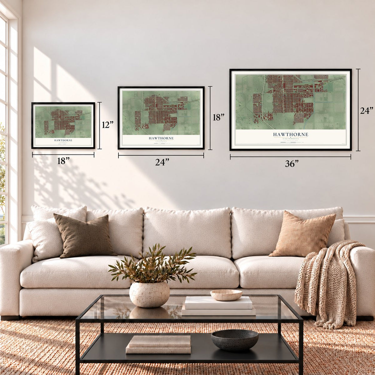
Three ways to hang it
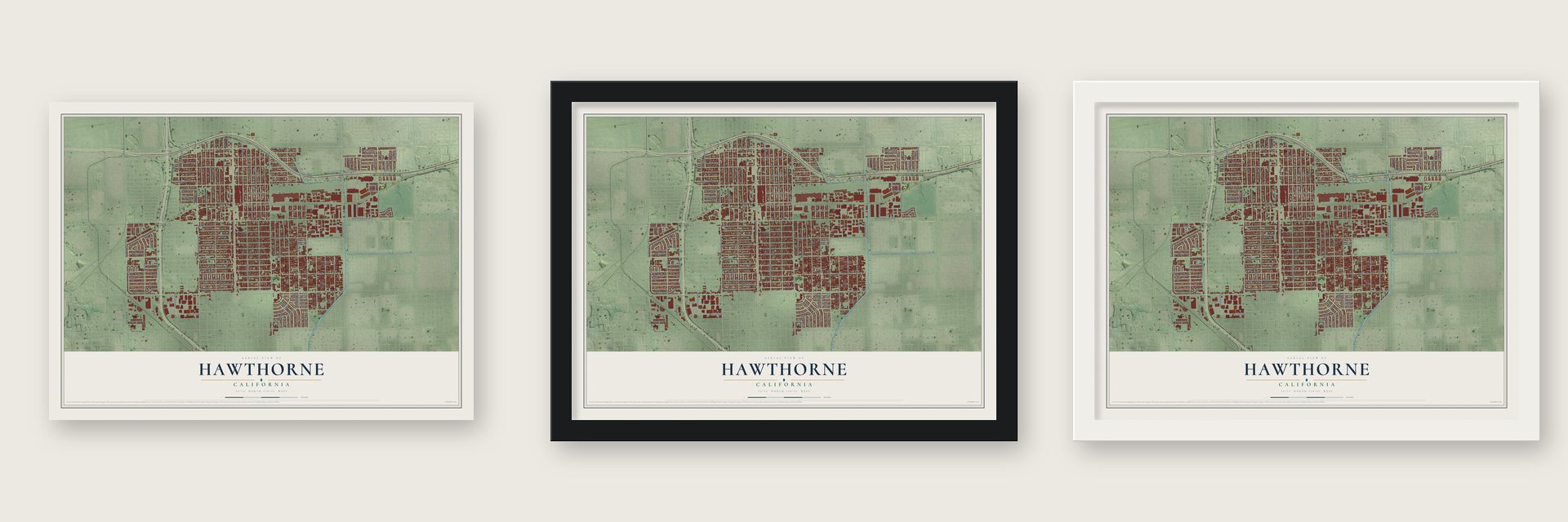
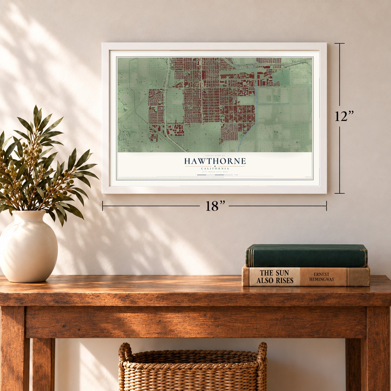
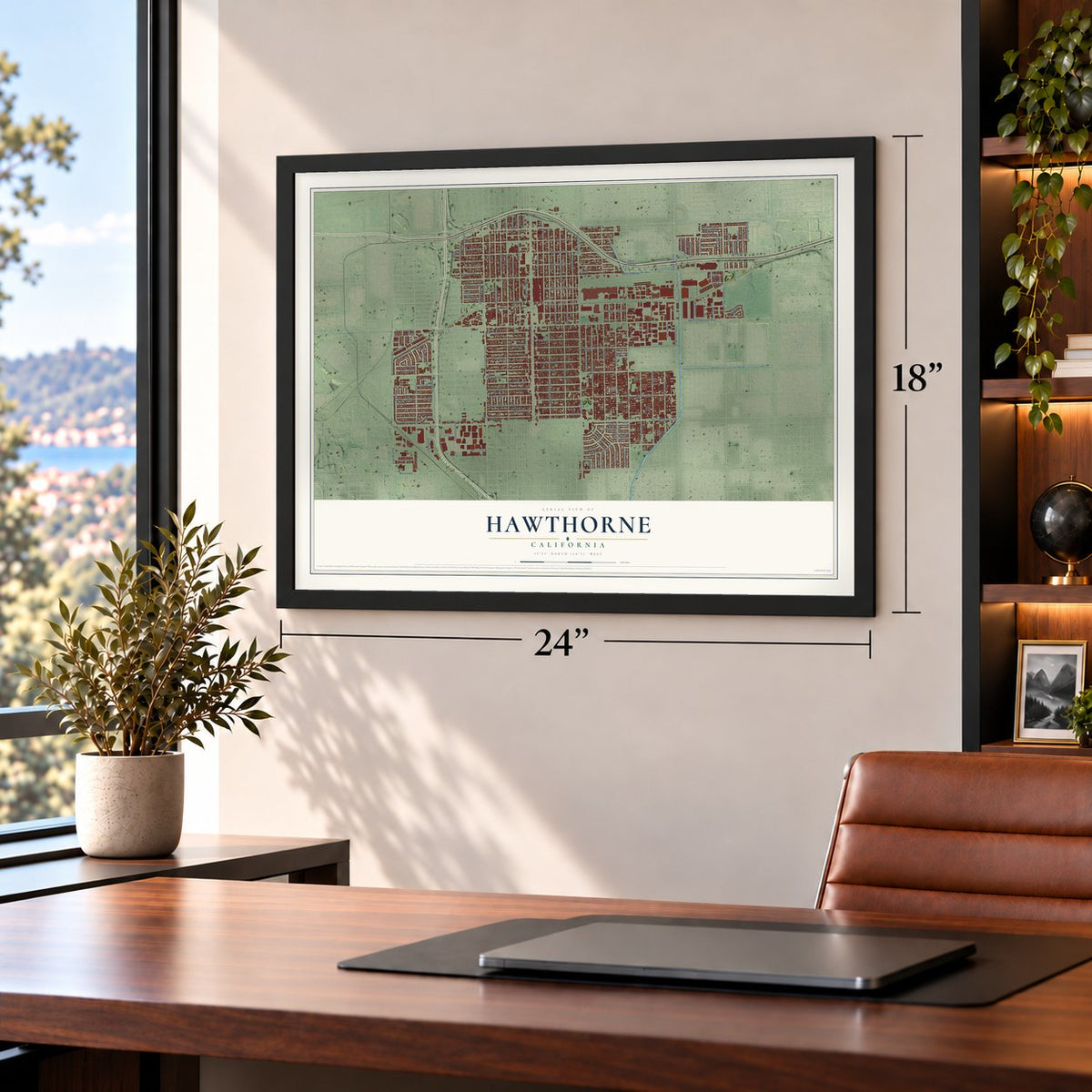
Unframed archival matte, a black wood frame or a white wood frame.
Up close
Geography Worth Displaying
This map was created using accurate cartographic data and authoritative geographic sources, including the U.S. Geological Survey and the Census Bureau. The map brings together terrain, waterways, roads, and building detail. The majority of the streets are labeled, houses are accurately depicted, and the topography is derived from government sources. Combining local data with carefully composed color and shading leads to this beautifully detailed Hawthorne artwork for your wall.
Rather than simply showing street outlines, we’ve included as many of the street names as we could reasonably fit on the map while keeping their names legible. Zoom in on the high resolution preview to see exactly what’s on the map. We truly set out to create a statement piece for anyone who loves Hawthorne. So whether it’s for you, or a gift for someone you love, we hope this map of Hawthorne brings back fond memories.
Read the story behind this map of Hawthorne, California from 2026.
Find your street
Names on the Hawthorne map
Every name below is printed on this map. Look for your street, your school, the park where you played, or the pond down the road.
Places and landmarks5
- Hawthorne City Hall
- Holly Park
- Cypave
- Del Aire
- Delta
Streets and roads151
- West Imperial Highway
- West El Segundo Boulevard
- South Aviation Boulevard
- West Rosecrans Avenue
- South Truro Avenue
- Aviation Boulevard
- Prairie Avenue
- South Prairie Avenue
- West 144th Place
- Hawthorne Boulevard
- West 120th Street
- West 135th Street
- Inglewood Avenue
- South Inglewood Avenue
- Doty Avenue
- West 116th Street
- Ramona Avenue
- West 139th Street
- West 118th Street
- Kornblum Avenue
- Yukon Avenue
- West 134th Street
- West 132nd Street
- West 141st Street
- West 138th Street
- Cordary Avenue
- West 115th Street
- Cerise Avenue
- West 130th Street
- West 142nd Street
Show all 151 streets
- Crenshaw Boulevard
- Marine Avenue
- West 133rd Street
- Grevillea Avenue
- Broadway
- West 136th Street
- Eucalyptus Avenue
- West 119th Street
- Chadron Avenue
- West 137th Street
- Isis Avenue
- West 129th Street
- Freeman Avenue
- Menlo Avenue
- Birch Avenue
- Cedar Avenue
- Oxford Avenue
- South Van Ness Avenue
- Jefferson Avenue
- Washington Avenue
- West 147th Street
- York Avenue
- West 140th Street
- West 126th Street
- 140th Street
- Glasgow Place
- Fonthill Avenue
- West 117th Street
- Manor Drive
- Lemoli Avenue
- 119th Street
- West 131st Street
- West 119th Place
- Gale Avenue
- 137th Place
- West 137th Place
- West 118th Place
- Hindry Avenue
- West 122nd Street
- West 145th Street
- 139th Street
- Acacia Avenue
- Roselle Avenue
- Judah Avenue
- Bodger Avenue
- Felton Avenue
- South Wilton Place
- Sundale Avenue
- Wiseburn Avenue
- Wiseburn Street
- Cranbrook Avenue
- Wilkie Avenue
- 138th Place
- West 138th Place
- 134th Street
- 141st Street
- West 142nd Place
- West 146th Street
- 119th Place
- West 134th Place
- Haas Avenue
- Casimir Avenue
- Cimarron Avenue
- Tarron Avenue
- Ocean Gate Avenue
- Strand
- Ocean
- Hawthorne Way
- West 121st Street
- 144th Street
- West 149th Place
- Spinning Avenue
- Simms Avenue
- 148th Street
- Burl Avenue
- Ardath Avenue
- 147th Place
- Chanera Avenue
- 137th Street
- 123rd Place
- 115th Place
- 142nd Street
- Ruthbar Drive
- Burin Avenue
- Pacific Terrace
- Palm Drive
- Florwood Avenue
- South Crenshaw Boulevard
- Central Park Circle
- West 123rd Street
- Daphne Avenue
- Lemoli Way
- Daleside Avenue
- 142nd Place
- Tahoe Avenue
- Saint Augusta Lane
- Weber Way
- Atkinson Avenue
- Central Avenue
- West 119th Court
- Mansel Avenue
- Golden Gate Court
- West 132nd Place
- West 144th Street
- Delafield Avenue
- Gerkin Avenue
- Court Way
- 118th Street
- Lisso Avenue
- 149th Street
- 136th Street
- Coral Drive
- East El Segundo Boulevard
- South Grevillea Avenue
- Grider Avenue
- Larch Avenue
- Michu Lane
- Arbor Lane
- South Firmona Avenue
- Condon Avenue
- 132nd Street
Names are listed as they appear on the printed map. Zoom into the product photos to find them.
About Hawthorne, California
Hawthorne is a city of 88,083 people in southwestern Los Angeles County, in the part of the metro area called the South Bay. The Tongva people lived here first. In 1837 Juan Alvarado, governor of Alta California, granted Antonio Ygnacio Ávila the Rancho Sausal Redondo, or Round Willow-grove Ranch, a spread of 22,458 acres that took in the ground where Hawthorne and several of its neighbors stand today.
According to Los Angeles County planners, real estate developers Benjamin Harding and H.D. Lombard started the town in 1906 as the Hawthorne Improvement Company, laid out on 80 acres of barley fields. Harding's daughter was born on July 4, the same birthday as the New England author Nathaniel Hawthorne, so the founders named the small village for him.
“The music of the Beach Boys broadcast to the world an image of California as a place of sun, surf, and romance.”
- Home of the Beach BoysHawthorne raised all five original members of the Beach Boys. The brothers Brian, Dennis and Carl Wilson grew up here with Mike Love and Al Jardine, and so did early member David Marks. The Beach Boys Historic Landmark now marks the place of the Wilson brothers' childhood home.
- Northrop's wartime plantNorthrop Corporation was founded in 1939 with its headquarters in Hawthorne and grew into a major aircraft builder during World War II. Its plant beside Northrop Field, today's Hawthorne Airport, built the P-61 Black Widow fighter, and Jack Northrop's flying wings eventually led to the B-2 stealth bomber. The same building later made fuselage sections for Boeing 747s and 787s, and it now serves as SpaceX's headquarters and main factory.
- Mattel's first homeThe toy maker Mattel got its start in Hawthorne in 1945. It stayed in the city for decades before moving to its present facility in nearby El Segundo by 1991.
- A center for space workAs of 2022, Hawthorne is known as a hub for the space industry. Its many aerospace engineers and technicians, its long line of aerospace companies and the presence of SpaceX drew a cluster of space firms and startups, and Tesla runs its design center at the Hawthorne Municipal Airport.
Keep exploring California
Hawthorne is one of 1,990 California towns we've mapped. Every dot on the map is a print of its own.
The search covers every state, California first.
Near Hawthorne
Order 2 or more town maps and save 10%. Shown in the size and finish you picked above, so they hang as a set.
- Del Aire 12" x 18" / Archival Matte Print $39.99
- Lennox 12" x 18" / Archival Matte Print $39.99
- Lawndale 12" x 18" / Archival Matte Print $39.99
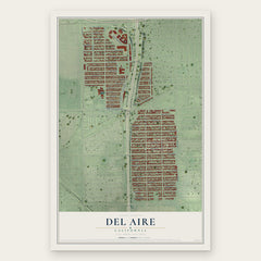
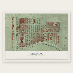
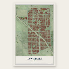
More maps nearby: Alondra Park, West Athens, Gardena, Inglewood and Westmont.
The art of mapping a place
How This Map Was Made
Real places. Remarkable detail. Discover the layers that turn geographic data into a map of home.

The view from above
Aerial imagery reveals the character of the land: woodland, open fields, and the patterns of a place.

The shape of the land
Elevation data brings hills, valleys, and subtle changes in the landscape into view.

The details of home
Roads, waterways, and building footprints come together to make the map feel unmistakably local.

Geography becomes art
Considered color, shading, and typography bring the layers together in a map made for your wall.


Process illustrated with Mendon, Massachusetts. Aerial imagery: USDA NAIP. Terrain: USGS 3D Elevation Program. Map details and finished artwork: KNOWOL.
The Details
About This Print
Choose an archival matte print, or a black or white Ayous wood frame. The archival matte print is unframed.
Select your size and finish above to see the matching product image and price.
Materials & Craftsmanship
A contemporary map with the character of a classic atlas, printed on archival matte paper. Optional frames are made from Ayous wood.
Your printed map does not include the watermark shown in the full-map preview.
Shipping & Delivery
Free shipping within the United States. Every print is made to order in the USA.
Buying a gift? Add a note in your cart and we'll include it. We never put prices in the package.
Prints ship within 2 to 3 business days. Allow 7 to 10 days total from ordering for delivery. Timing may vary during holidays or periods of high order volume.
Read our shipping policy.
Returns and damaged prints
Each print is made to order. Change-of-mind refunds are not available after production.
If your print arrives damaged, misprinted or incorrect, contact support@knowol.com within 30 days of receiving it. Include your order number, photos and a description of the issue.
Read our full refund and replacement policy. For questions about your order, email support@knowol.com.