
Search for another town





Free U.S. delivery 7 to 10 days after you order
Hazel Dell, Washington Map Art
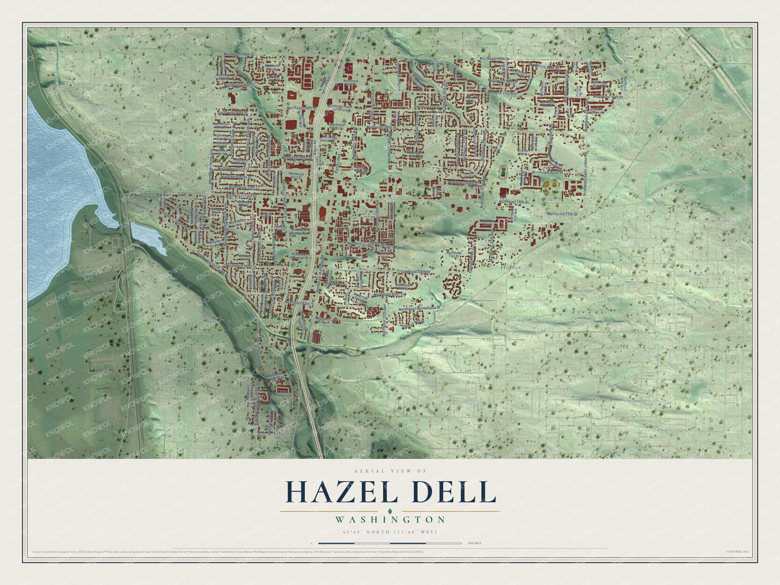
A new map of Hazel Dell, Washington, made in 2026 and printed to order on thick archival matte paper.
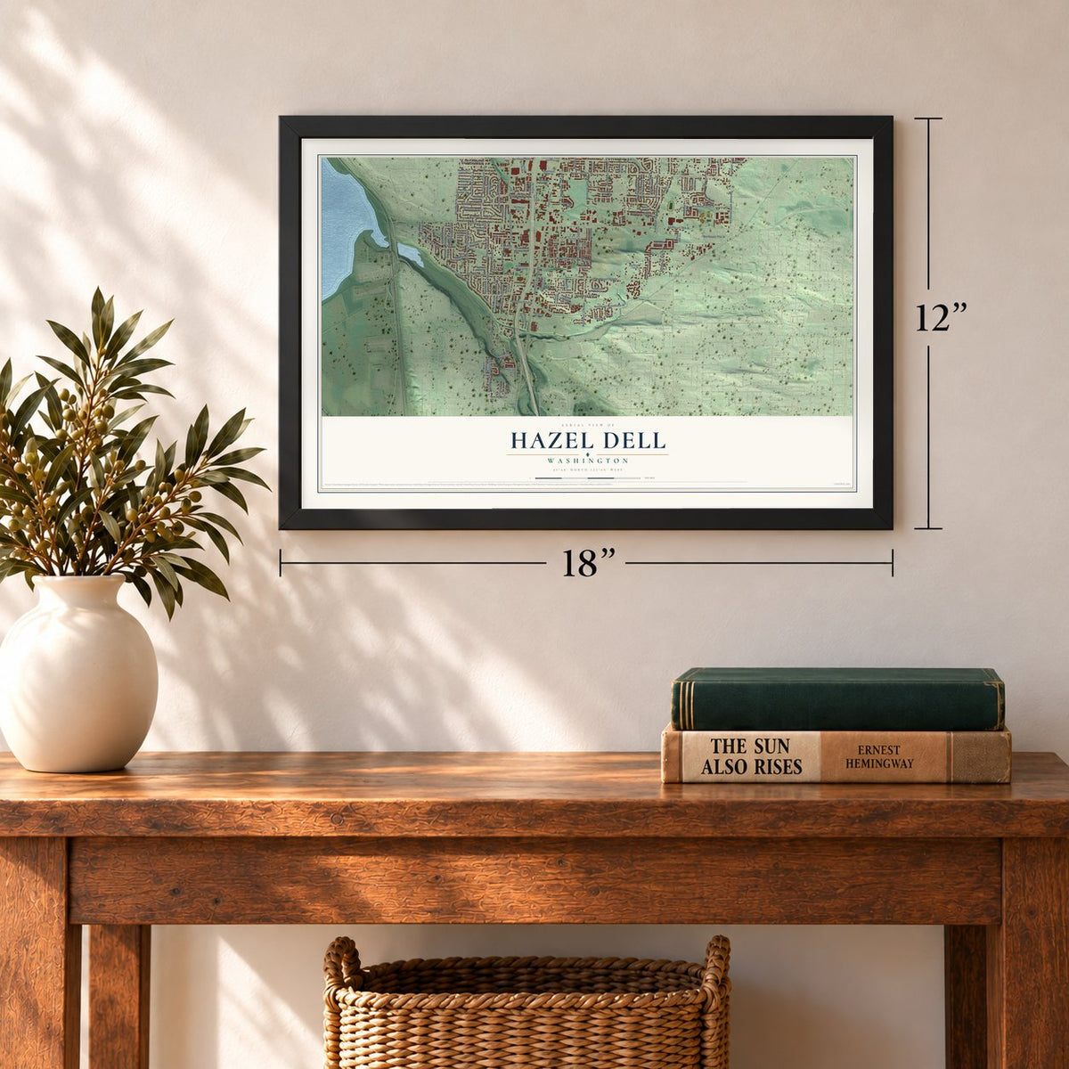
12" x 18" Archival Matte Print
A Map of Home. A Work of Art.
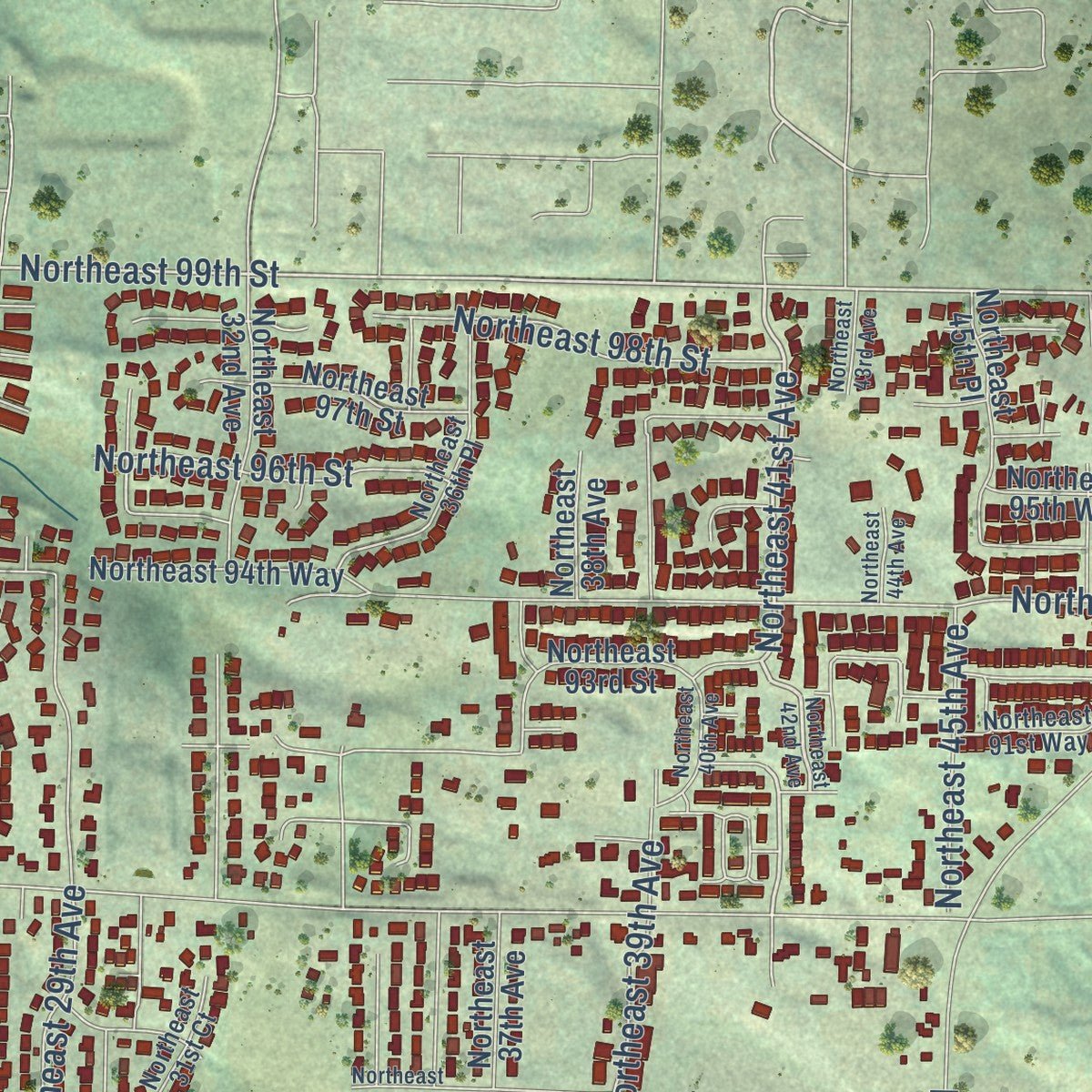
Explore Hazel Dell, Washington from a whole new perspective. Created using aerial imagery and detailed geographic data, this map captures Hazel Dell building by building, with labeled streets, familiar landmarks, and shaded topographical relief that highlights the natural contours of the landscape.
Combining modern data with the timeless character of a vintage atlas, this map is just as interesting up close as it is beautiful on the wall. Whether you grew up in Hazel Dell, spent memorable years there, or call it home today, this unique map is a great way to celebrate a place that means something to you. Zoom in on the preview to look for your street, and then order a print to put your memories on the wall.
Three ways to hang it
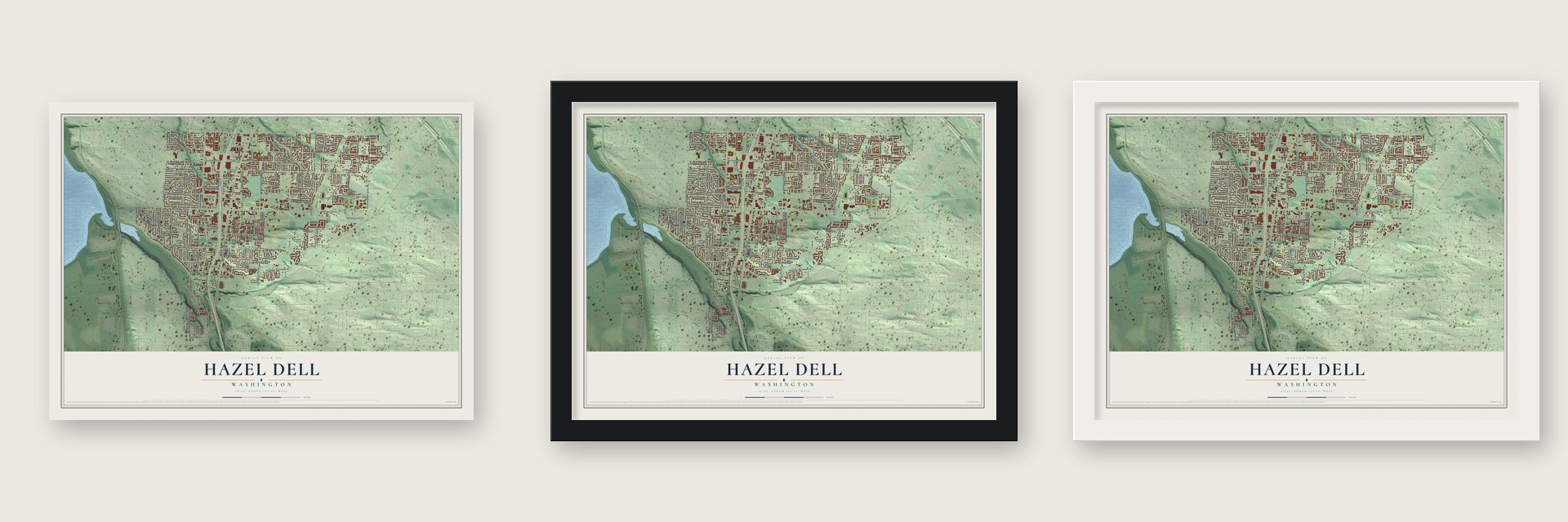
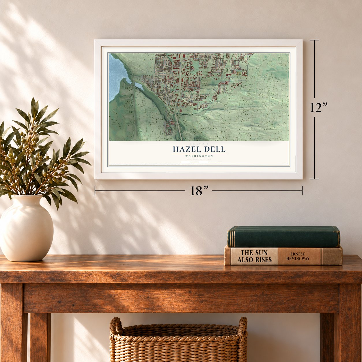
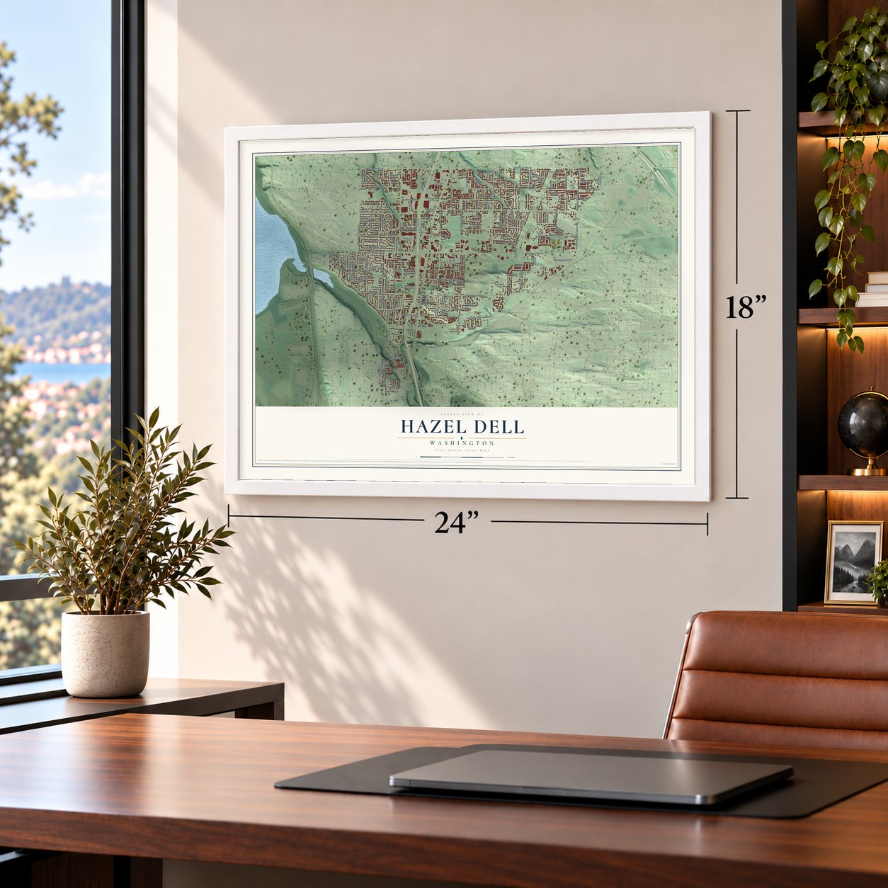
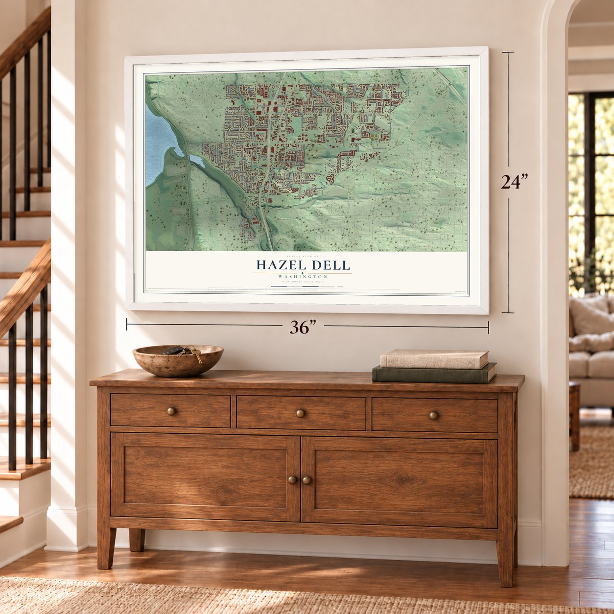
Unframed archival matte, a black wood frame or a white wood frame.
Up close
Geography Worth Displaying
This map was created using accurate cartographic data and authoritative geographic sources, including the U.S. Geological Survey and the Census Bureau. The map brings together terrain, waterways, roads, and building detail. The majority of the streets are labeled, houses are accurately depicted, and the topography is derived from government sources. Combining local data with carefully composed color and shading leads to this beautifully detailed Hazel Dell artwork for your wall.
Rather than simply showing street outlines, we’ve included as many of the street names as we could reasonably fit on the map while keeping their names legible. Zoom in on the high resolution preview to see exactly what’s on the map. We truly set out to create a statement piece for anyone who loves Hazel Dell. So whether it’s for you, or a gift for someone you love, we hope this map of Hazel Dell brings back fond memories.
Read the story behind this map of Hazel Dell, Washington from 2026.

About Hazel Dell, Washington
Hazel Dell is a community of 23,569 people in Clark County, just north and west of Vancouver. Its first settlers were Reese and Sarah J. Anderson, pioneers of the Oregon Country, and a county map drawn in the 1880s marks the place as Anderson after their family. Sarah named it for a grove of filberts growing on the couple's land close to 78th Street and Highway 99. She also gave the land for the first school, where Hazel Dell Elementary School stands today.
For many years Hazel Dell was farm country. Until the early 1970s, horses and dairy cows still grazed in spots along Interstate 5 and Highway 99. After World War II, Hazel Dell and Minnehaha became the first suburbs to grow up here, and Lake Shore, Felida and Salmon Creek came after them. Most of the dairies have since closed, and the community is now mostly homes and shopping centers, though a few small farms remain.
“Hazel Dell's destiny was to occupy a strategic point on the old road leading north from Vancouver through the woods to Salmon Creek and beyond.”
- Not Bear Gulch or BasilvilleEarly residents briefly weighed calling the place Bear Gulch. Later, local business leaders proposed renaming it Basilville to honor Basil Dhanens, a merchant known for his enterprise. Dhanens thanked them and turned the offer down, so the name Hazel Dell stayed. He died in 1972.
- From poor farm to food bankClark County ran its poor farm on the land now called the 78th Street Heritage Farm, starting in the late 1800s and lasting into the late 1940s. Washington State University then used it for research and extension work until 2008, when the county took it back. It is now a public farm worked by partners such as the Master Gardener Foundation of Clark County, the Clark County Food Bank and WSU Clark County Extension.
- Parade of Bands since 1964Harvey Johnson and his family, who owned the old Steakburger Drive-in on Highway 99, organized and sponsored the first Parade of Bands in 1964. Ever since, the parade has marched along Highway 99 on the third Saturday of every May.
Find your street
Names on the Hazel Dell map
Every name below is printed on this map. Look for your street, your school, the park where you played, or the pond down the road.
Places and landmarks4
- 78th Street Heritage Farm
- Hazel Dell Park
- Hidden
- Rye
Streets and roads151
- Northeast 99th Street
- Northwest 78th Street
- Northeast 41st Avenue
- Northeast 83rd Street
- Northeast 30th Avenue
- Northeast 13th Avenue
- Northeast 16th Avenue
- Northeast Hazel Dell Avenue
- Northeast 78th Street
- Northeast Highway 99
- Northeast 88th Street
- Northeast 94th Street
- Northeast Saint Johns Road
- Northeast 68th Street
- Northeast Minnehaha Street
- Northwest Ninth Avenue
- Pacific Highway
- Northeast 25th Avenue
- Northwest Overlook Drive
- Northwest Fourth Avenue
- Northeast 82nd Street
- Northeast 27th Avenue
- Northeast 39th Avenue
- Northeast 90th Street
- Alki Road
- Northeast 17th Avenue
- Northeast 26th Avenue
- Northeast 96th Street
- Northeast 65th Street
- Northeast 15th Avenue
Show all 151 streets
- Northwest Third Avenue
- Northeast 72nd Street
- Northeast 21st Avenue
- Northwest Alki Road
- Northwest Second Avenue
- Northwest Sluman Road
- Northeast 80th Street
- Northwest 99th Street
- Northwest Anderson Avenue
- Northwest Sixth Avenue
- Northwest 79th Street
- Northwest 82nd Street
- Northwest 94th Street
- Northeast 28th Place
- Northeast 98th Street
- Northeast 63rd Street
- Northeast 31st Avenue
- Northwest 68th Street
- Northwest Greenbriar Drive
- Northeast 18th Avenue
- Northwest Washington Street
- Northwest 80th Street
- McKinley Drive
- Northwest Tenth Avenue
- Northeast 77th Street
- Northeast 29th Avenue
- Northeast Bonner Drive
- Northwest 90th Street
- Northeast 45th Avenue
- Division Avenue
- Northwest 83rd Street
- Northwest First Avenue
- Northwest 72nd Street
- Northeast Second Avenue
- Northeast 14th Avenue
- Northeast Kogan Road
- Northeast 19th Avenue
- Northeast 97th Street
- Northeast 37th Avenue
- Northeast 91st Street
- Northeast Seventh Avenue
- Northeast 32nd Avenue
- Northeast 84th Street
- Northeast 93rd Street
- Northeast Sixth Avenue
- Northeast 86th Street
- Northwest 74th Street
- Northeast 95th Street
- Northwest Old Orchard Drive
- Northeast Fifth Avenue
- Northeast 66th Street
- Northeast 71st Street
- Northwest Mc Kinley Drive
- Northeast 81st Street
- Northwest 88th Street
- Northwest 77th Street
- Northeast 28th Avenue
- Northeast 34th Avenue
- Northeast 60th Street
- Northeast 35th Avenue
- Northwest Firwood Drive
- Northeast Tenth Avenue
- Northeast 75th Street
- Northeast 45th Place
- Northwest 86th Street
- Northeast Tenny Creek Drive
- Northwest 96th Street
- Northeast 94th Way
- Northeast Repass Road
- Northeast 64th Street
- Northeast 95th Way
- Northeast 72nd Circle
- Northwest Columbia Street
- Northwest Eleventh Avenue
- Northeast 50th Avenue
- Northeast Anderson Street
- Northeast Hazel Dell Plaza
- Northeast 61st Street
- Northeast 38th Avenue
- Northwest 15th Avenue
- Northwest Dale Road
- Creston Avenue
- Northeast Alki Road
- Northeast 88th Circle
- Northeast 82nd Drive
- Northwest 97th Circle
- Northwest 85th Street
- Northeast Twelfth Avenue
- Northwest Eighth Avenue
- Northeast 23rd Avenue
- Northeast 91st Way
- Northeast 83rd Way
- Northeast 19th Court
- Northeast 21st Place
- Northwest 95th Circle
- Northwest 69th Street
- Northwest 84th Street
- Northeast 26th Place
- Northwest 75th Street
- Northeast 31st Court
- Northeast Grove Road
- Northeast 24th Avenue
- Northeast 36th Place
- Northeast 73rd Street
- West 45th Street
- Northeast 78th Street Extended
- Northeast 70th Street
- Northeast 42nd Avenue
- Northeast 44th Avenue
- Northwest 76th Street
- Northeast 85th Street
- Northeast 76th Street
- Northeast Calef Road
- Northeast 43rd Avenue
- Northeast 24th Court
- Jordan Way
- Rankin Drive
- Northeast Newhouse Road
- Northeast 40th Avenue
- Northeast 82nd Circle
- Northeast 92nd Circle
Names are listed as they appear on the printed map. Zoom into the product photos to find them.
The art of mapping a place
How This Map Was Made
Real places. Remarkable detail. Discover the layers that turn geographic data into a map of home.

The view from above
Aerial imagery reveals the character of the land: woodland, open fields, and the patterns of a place.

The shape of the land
Elevation data brings hills, valleys, and subtle changes in the landscape into view.

The details of home
Roads, waterways, and building footprints come together to make the map feel unmistakably local.

Geography becomes art
Considered color, shading, and typography bring the layers together in a map made for your wall.


Process illustrated with Mendon, Massachusetts. Aerial imagery: USDA NAIP. Terrain: USGS 3D Elevation Program. Map details and finished artwork: KNOWOL.
The Details
About This Print
Choose an archival matte print, or a black or white Ayous wood frame. The archival matte print is unframed.
Select your size and finish above to see the matching product image and price.
Materials & Craftsmanship
A contemporary map with the character of a classic atlas, printed on archival matte paper. Optional frames are made from Ayous wood.
Your printed map does not include the watermark shown in the full-map preview.
Shipping & Delivery
Free shipping within the United States. Every print is made to order in the USA.
Buying a gift? Add a note in your cart and we'll include it. We never put prices in the package.
Prints ship within 2 to 3 business days. Allow 7 to 10 days total from ordering for delivery. Timing may vary during holidays or periods of high order volume.
Read our shipping policy.
Returns and damaged prints
Each print is made to order. Change-of-mind refunds are not available after production.
If your print arrives damaged, misprinted or incorrect, contact support@knowol.com within 30 days of receiving it. Include your order number, photos and a description of the issue.
Read our full refund and replacement policy. For questions about your order, email support@knowol.com.
Find your town
Looking for another city?
Find a map of home in our Washington collection, or any town in the country.
Nearby
Maps of towns near Hazel Dell
Know someone from one of these towns? Their map makes a great gift.
 Lake Shore
, Washington
From $39.99See the map
 Salmon Creek
, Washington
From $39.99See the map
 Minnehaha
, Washington
From $39.99See the map
More maps nearby: Barberton, Felida, Mount Vista, Five Corners and Vancouver.