
Search for another town




Free U.S. delivery 7 to 10 days after you order
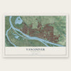
Vancouver, Washington Map Art
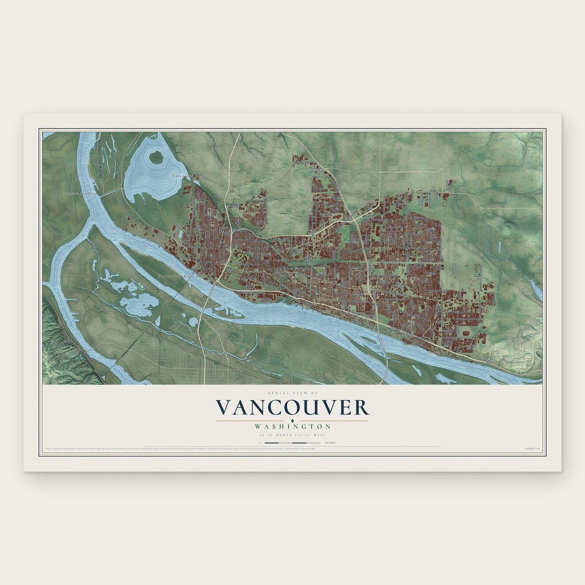
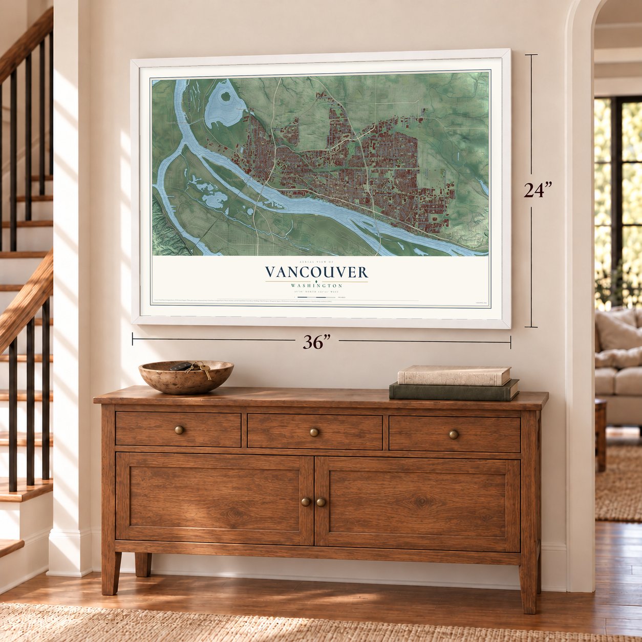
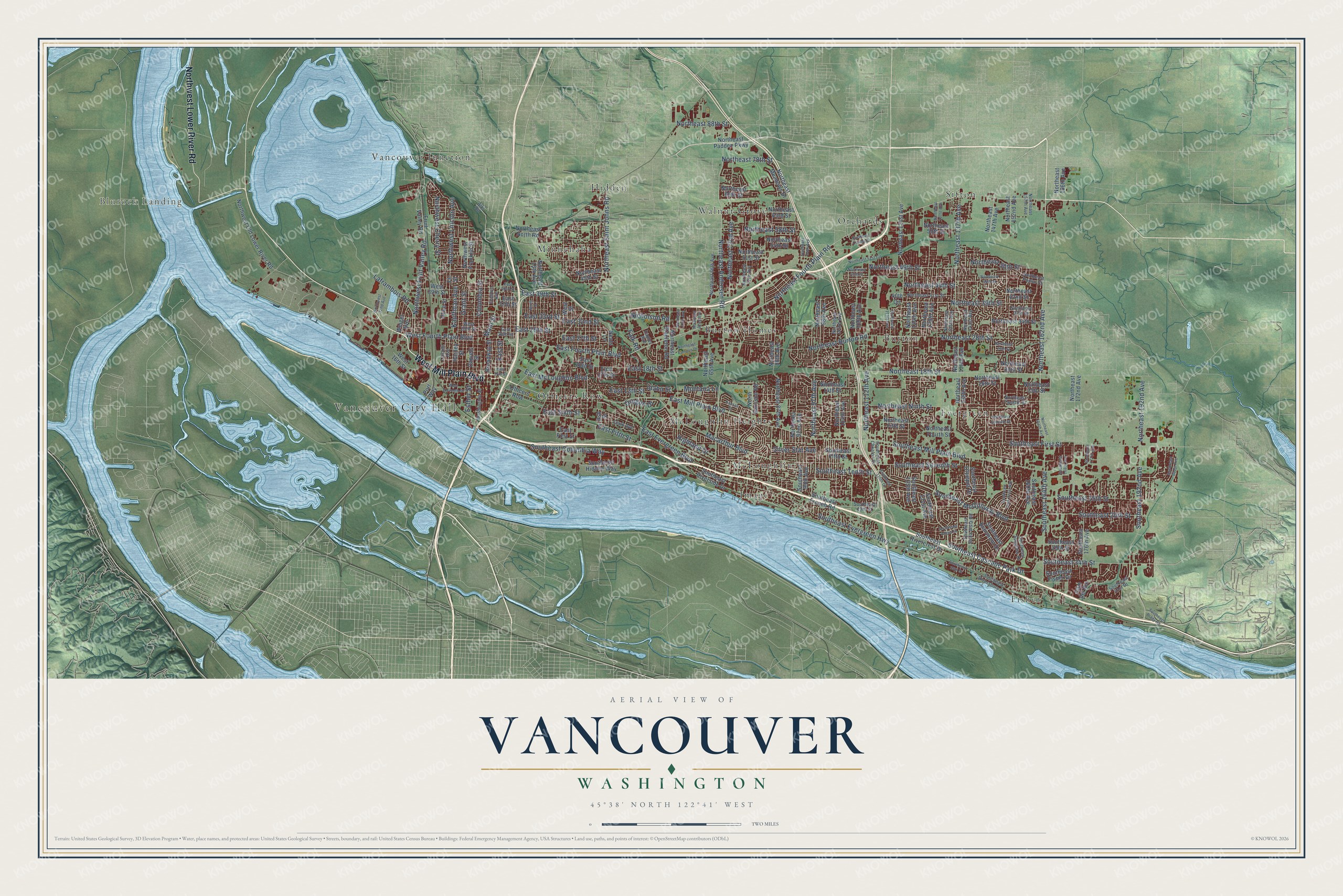
A new map of Vancouver, Washington, made in 2026 and printed to order on thick archival matte paper.
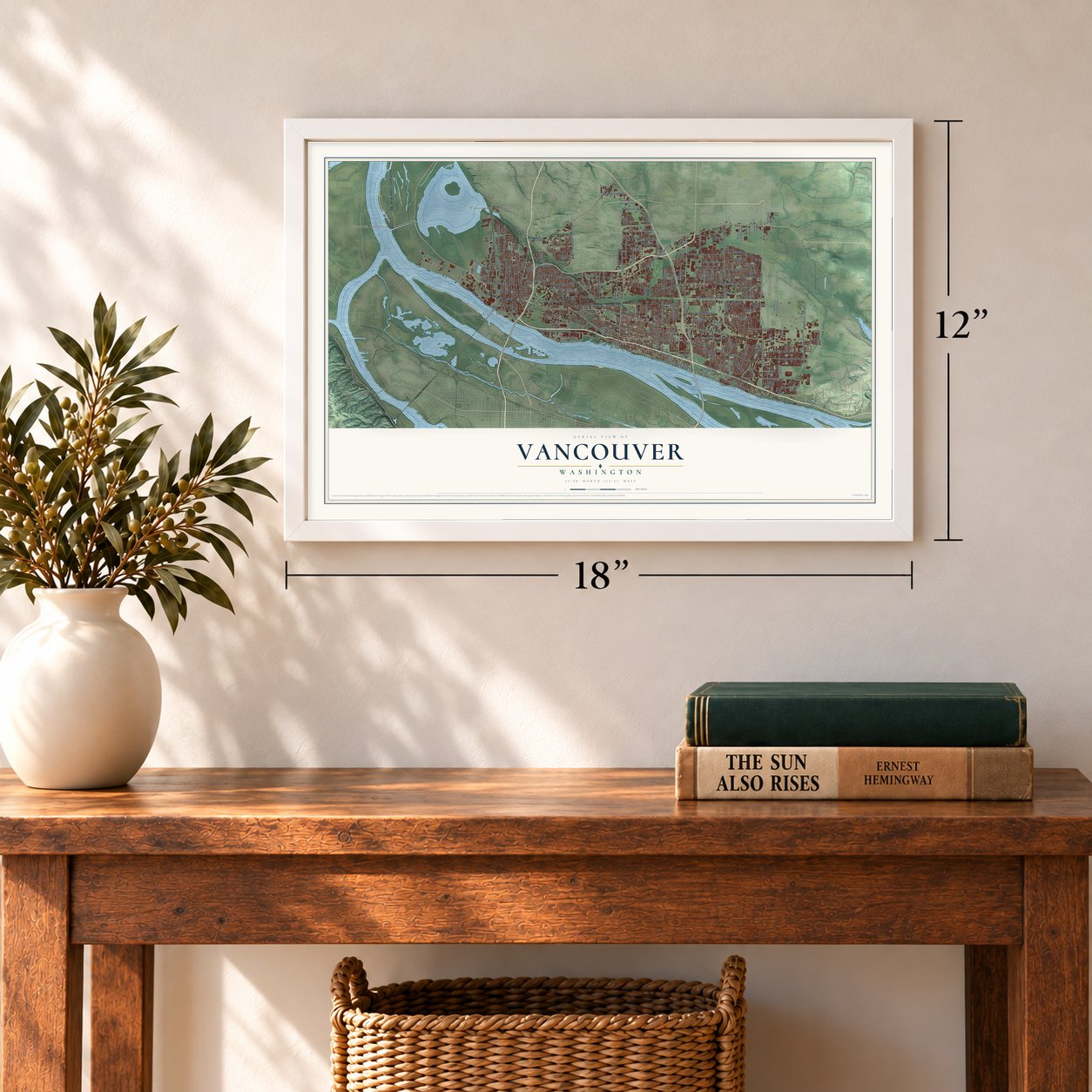
12" x 18" Archival Matte Print
A Map of Home. A Work of Art.
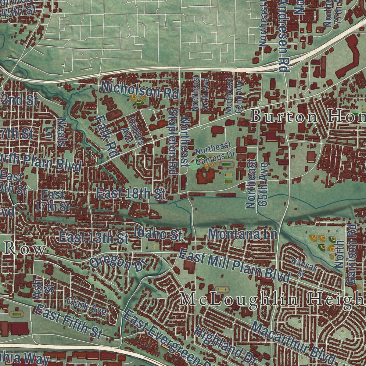
Explore Vancouver, Washington from a whole new perspective. Created using aerial imagery and detailed geographic data, this map captures Vancouver building by building, with labeled streets, familiar landmarks, and shaded topographical relief that highlights the natural contours of the landscape.
Combining modern data with the timeless character of a vintage atlas, this map is just as interesting up close as it is beautiful on the wall. Whether you grew up in Vancouver, spent memorable years there, or call it home today, this unique map is a great way to celebrate a place that means something to you. Zoom in on the preview to look for your street, and then order a print to put your memories on the wall.
Three ways to hang it
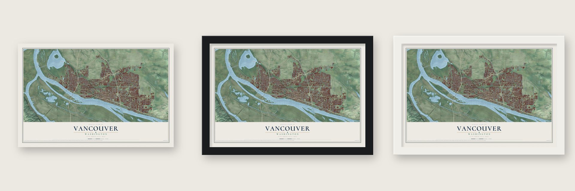
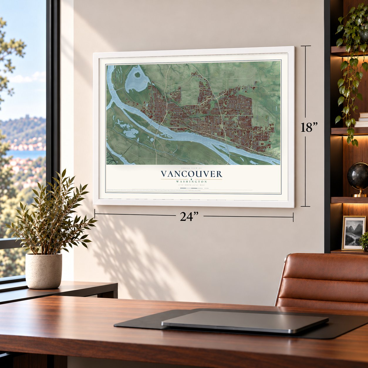
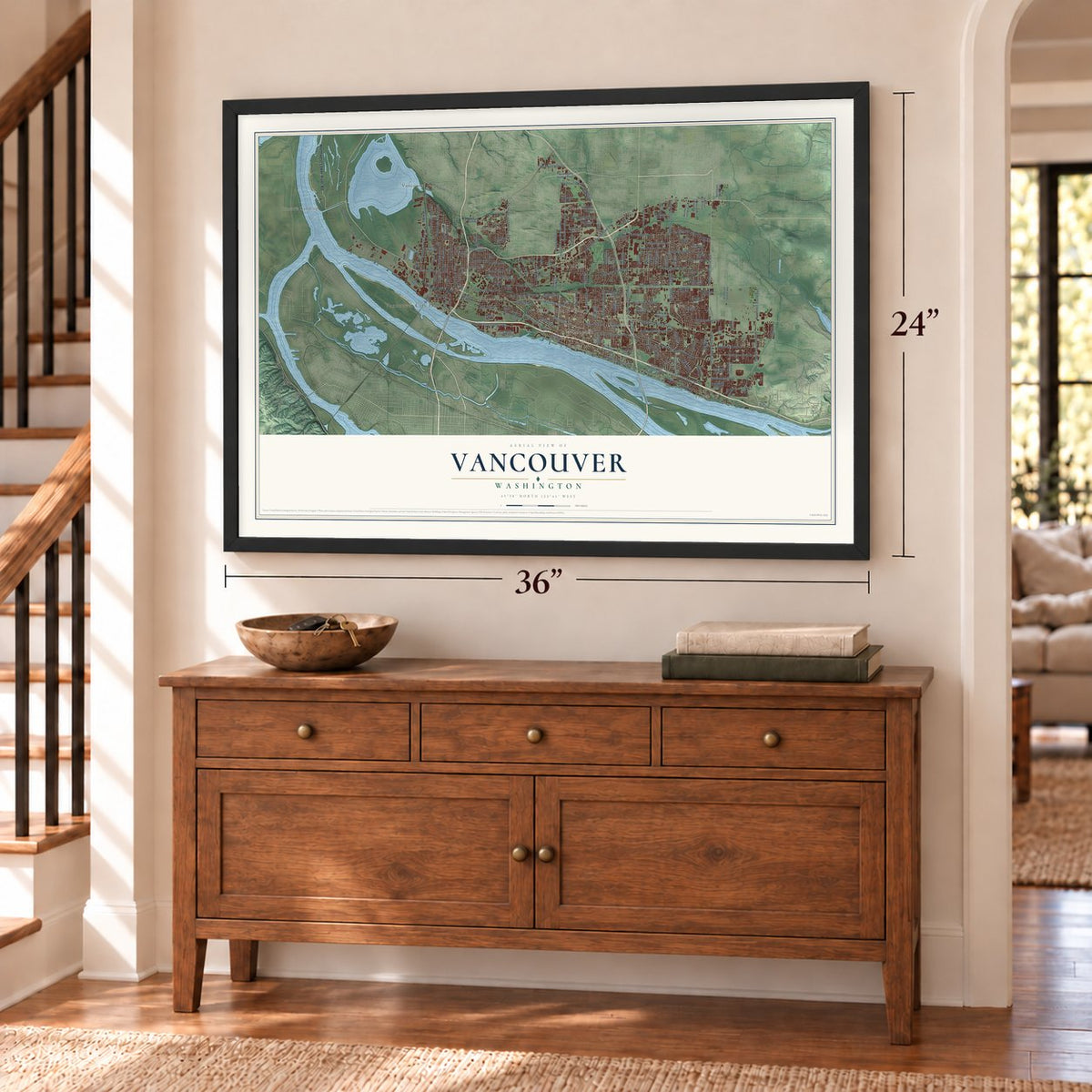
Unframed archival matte, a black wood frame or a white wood frame.
Up close
Geography Worth Displaying
This map was created using accurate cartographic data and authoritative geographic sources, including the U.S. Geological Survey and the Census Bureau. The map brings together terrain, waterways, roads, and building detail. The majority of the streets are labeled, houses are accurately depicted, and the topography is derived from government sources. Combining local data with carefully composed color and shading leads to this beautifully detailed Vancouver artwork for your wall.
Rather than simply showing street outlines, we’ve included as many of the street names as we could reasonably fit on the map while keeping their names legible. Zoom in on the high resolution preview to see exactly what’s on the map. We truly set out to create a statement piece for anyone who loves Vancouver. So whether it’s for you, or a gift for someone you love, we hope this map of Vancouver brings back fond memories.
Read the story behind this map of Vancouver, Washington from 2026.
About Vancouver, Washington
Vancouver is a city of 190,915 people and the seat of Clark County, on the Columbia River's north bank across from Portland. Chinook people lived and traded along the river, and their name for it, Wimahl, meant Big River. In March 1825 the Hudson's Bay Company, a British fur firm, built its post Fort Vancouver here, and the name honors George Vancouver, the explorer who charted the Northwest coast in 1792.
The American Henry Williamson platted a town west of the fort in 1844, named it Vancouver City, registered it at Oregon City and left for California. Amos and Esther Short then arrived from Pennsylvania with 10 children and took over the claim. The company burned their cabin, but they kept returning, and when its agent Dr. David Gardner came to confront Amos, Gardner was shot and killed. Short said he acted in self-defense, and he was acquitted. As probate judge he ruled the land his own and renamed the town Columbia City in 1850. It became Vancouver in 1855 and was incorporated on January 23, 1857.
“the only desired situation for settlement west of the Rocky Mountains”
- The witness treeIn 1846 Amos Short carved his initials into a cottonwood near the river to mark a corner of his claim. That witness tree became a legal landmark in property fights and the point from which surveyors measured much of Southwest Washington. It fell on June 27, 1909, and two years later what was left of it floated away downriver.
- Mill Plain to Fourth PlainThe Hudson's Bay Company used plain, a British word for a treeless stretch in a forest. The road from the fort to its grist and lumber mills upriver was the Road to the Mill Plain. Farther out came Second Plain, where Burnt Bridge Creek crosses Fourth Plain, Third Plain near 112th Avenue, and Fourth Plain where Orchards now stands. Fifth Plain Creek is all that remains of the fifth.
- Captain Grant, quartermasterUlysses S. Grant, then an Army captain, was quartermaster at Columbia Barracks starting in 1852. Soon after he left Vancouver he resigned from the army, and he did not serve again until the Civil War broke out in 1861.
- Over the North Pole in 1937Valery Chkalov flew a Tupolev ANT-25RD from Moscow over the North Pole in 1937. He was supposed to land on Swan Island in Portland but was sent at the last minute to Pearson Field, the oldest airfield in the West still in continuous use. A monument to the flight was dedicated in June 1975 and moved to the north side of the field in 1987, and Chkalov Drive in east Vancouver carries his name.
- 36,000 shipyard workersAlcoa opened an aluminum plant on September 2, 1940, using cheap power from Bonneville Dam. After Pearl Harbor, Henry Kaiser built a shipyard, and by 1944 up to 36,000 people worked there around the clock on Liberty ships, landing ship tanks and escort carriers. In a few months the population leaped from 18,000 to over 80,000, so the new Vancouver Housing Authority built McLoughlin Heights, Burton Homes, Bagley Downs, Fruit Valley, Ogden Meadows and Fourth Plain Village.
Find your street
Names on the Vancouver map
Every name below is printed on this map. Look for your street, your school, the park where you played, or the pond down the road.
Places and landmarks16
- Vancouver City Hall
- Blurock Landing
- Burton
- Burton Homes
- Evergreen
- Fisher
- Hidden
- Image
- McLoughlin
- McLoughlin Heights
- Minnehaha
- Officers Row
Show all 16 places
- Orchards
- Sifton
- Vancouver Junction
- Walnut Grove
Streets and roads189
- West Mill Plain Boulevard
- Northwest Lower River Road
- Northeast Fourth Plain Road
- East Mill Plain Boulevard
- Northeast Andresen Road
- East Fourth Plain Boulevard
- Northeast 162nd Avenue
- Main Street
- Northeast 72nd Avenue
- Southeast 34th Street
- West Fourth Plain Boulevard
- East 32nd Street
- Northeast 78th Street
- East Sixth Street
- Southeast Evergreen Highway
- Southeast Mill Plain Boulevard
- Northeast 18th Street
- East Evergreen Boulevard
- Southeast Columbia Way
- Northeast Ninth Street
- Southeast First Street
- Southeast 192nd Avenue
- Southeast 15th Street
- Southeast McGillivray Boulevard
- Northeast 112th Avenue
- Northeast 49th Street
- Northeast 28th Street
- Northeast 39th Street
- East Fifth Street
- Southeast 164th Avenue
Show all 189 streets
- Columbia Street
- East McLoughlin Boulevard
- Northeast Burton Road
- Northwest Fruit Valley Road
- Macarthur Boulevard
- Grant Street
- East 18th Street
- Northeast 58th Street
- East 33rd Street
- Northeast 137th Avenue
- East 29th Street
- Southeast 20th Street
- Northeast Saint Johns Road
- East 13th Street
- Northeast 44th Street
- Northeast 97th Avenue
- Southeast Seventh Street
- Southeast Cascade Park Drive
- Kauffman Avenue
- Northwest Lincoln Avenue
- East 27th Street
- Southeast Tenth Street
- Northwest Cherry Street
- Idaho Street
- East 39th Street
- Northeast 192nd Avenue
- Northeast 50th Street
- Esther Street
- Laframbois Road
- Nicholson Road
- Northeast 88th Street
- Montana Lane
- Highland Drive
- Silver Star Avenue
- Falk Road
- East Street
- Oregon Drive
- Northeast 42nd Street
- Northeast Padden Parkway
- Northeast 147th Avenue
- Port Way
- Southeast 131st Avenue
- Northwest Old Lower River Road
- Northeast 14th Street
- Daniels Street
- Northeast 16th Street
- Northeast 152nd Avenue
- Northeast Fourth Street
- Northeast 45th Street
- Southeast Fifth Street
- Northeast 34th Street
- Northeast Fifth Street
- Northeast 51st Street
- Northeast 124th Avenue
- Harney Street
- Northeast 15th Street
- Fruit Valley Road
- Northeast 54th Street
- Northeast 59th Street
- Northeast 20th Street
- Northeast 129th Avenue
- Northeast 87th Avenue
- Northeast 138th Avenue
- Northeast 63rd Street
- Northeast 98th Avenue
- Northeast 121st Avenue
- Northeast 92nd Avenue
- Southeast Blairmont Drive
- Northeast 86th Avenue
- Northeast 139th Avenue
- West 16th Street
- Southeast 176th Avenue
- Broadway Street
- Southeast Rivercrest Drive
- Southeast Olympia Drive
- East 37th Street
- Northeast 104th Avenue
- West 39th Street
- Northeast 109th Avenue
- Southeast 160th Avenue
- Northeast 15th Avenue
- Northwest Franklin Street
- Southeast Hidden Way
- Southeast Riverside Drive
- Northeast Meadows Drive
- Northeast 69th Street
- North Garrison Road
- East 17th Street
- Southeast 95th Avenue
- Northeast Stapleton Road
- East 20th Street
- Northeast 65th Avenue
- Southeast 29th Street
- West Street
- Southeast 125th Avenue
- Northeast North Road
- Southeast French Road
- Cam del Rio
- Northeast 172nd Avenue
- Southeast Fisher Drive
- Olive Street
- Northeast 166th Avenue
- Weigel Avenue
- Neals Lane
- Ash Street
- East First Street
- 40th Circle
- Fir Street
- Washington Street
- Southeast 19th Street
- Northeast 41st Street
- Northeast 157th Avenue
- Northeast 37th Street
- Southeast Bella Vista Road
- Northeast Twelfth Street
- Northeast 141st Avenue
- Northeast 135th Avenue
- East 28th Street
- Lincoln Avenue
- Southeast Rivershore Drive
- Northeast 66th Avenue
- Northeast 77th Avenue
- West 29th Street
- Southeast Spyglass Drive
- Northeast 103rd Avenue
- Clark Avenue
- Southeast Chkalov Drive
- Southeast 41st Drive
- Creston Avenue
- Northeast Poplar Street
- Caples Avenue
- Alki Road
- Northeast Seventh Street
- Northeast 46th Street
- Northeast 26th Street
- Northeast 164th Avenue
- Northeast 47th Street
- Northeast 131st Avenue
- Southeast Park Crest Avenue
- Southeast 35th Street
- Southeast 168th Avenue
- Northeast 94th Avenue
- East 16th Street
- Southeast 177th Avenue
- Kansas Street
- Northeast 62nd Avenue
- Northeast 51st Circle
- West Eleventh Street
- Southeast Angus Street
- Northeast Campus Drive
- Northeast 119th Avenue
- North Street
- Southeast Brady Road
- Northwest 32nd Avenue
- Northeast 57th Avenue
- Northeast Coxley Drive
- Southeast 116th Court
- East 40th Street
- Southeast 201st Avenue
Names are listed as they appear on the printed map. Zoom into the product photos to find them.
The art of mapping a place
How This Map Was Made
Real places. Remarkable detail. Discover the layers that turn geographic data into a map of home.

The view from above
Aerial imagery reveals the character of the land: woodland, open fields, and the patterns of a place.

The shape of the land
Elevation data brings hills, valleys, and subtle changes in the landscape into view.

The details of home
Roads, waterways, and building footprints come together to make the map feel unmistakably local.

Geography becomes art
Considered color, shading, and typography bring the layers together in a map made for your wall.


Process illustrated with Mendon, Massachusetts. Aerial imagery: USDA NAIP. Terrain: USGS 3D Elevation Program. Map details and finished artwork: KNOWOL.
The Details
About This Print
Choose an archival matte print, or a black or white Ayous wood frame. The archival matte print is unframed.
Select your size and finish above to see the matching product image and price.
Materials & Craftsmanship
A contemporary map with the character of a classic atlas, printed on archival matte paper. Optional frames are made from Ayous wood.
Your printed map does not include the watermark shown in the full-map preview.
Shipping & Delivery
Free shipping within the United States. Every print is made to order in the USA.
Buying a gift? Add a note in your cart and we'll include it. We never put prices in the package.
Prints ship within 2 to 3 business days. Allow 7 to 10 days total from ordering for delivery. Timing may vary during holidays or periods of high order volume.
Read our shipping policy.
Returns and damaged prints
Each print is made to order. Change-of-mind refunds are not available after production.
If your print arrives damaged, misprinted or incorrect, contact support@knowol.com within 30 days of receiving it. Include your order number, photos and a description of the issue.
Read our full refund and replacement policy. For questions about your order, email support@knowol.com.
Find your town
Looking for another city?
Find a map of home in our Washington collection, or any town in the country.
Nearby
Maps of towns near Vancouver
Know someone from one of these towns? Their map makes a great gift.
 Minnehaha
, Washington
From $39.99See the map
 Five Corners
, Washington
From $39.99See the map
 Hazel Dell
, Washington
From $39.99See the map
More maps nearby: Orchards, Barberton, Lake Shore, Salmon Creek and Brush Prairie.