
Search for another town
Free U.S. delivery 7 to 10 days after you order
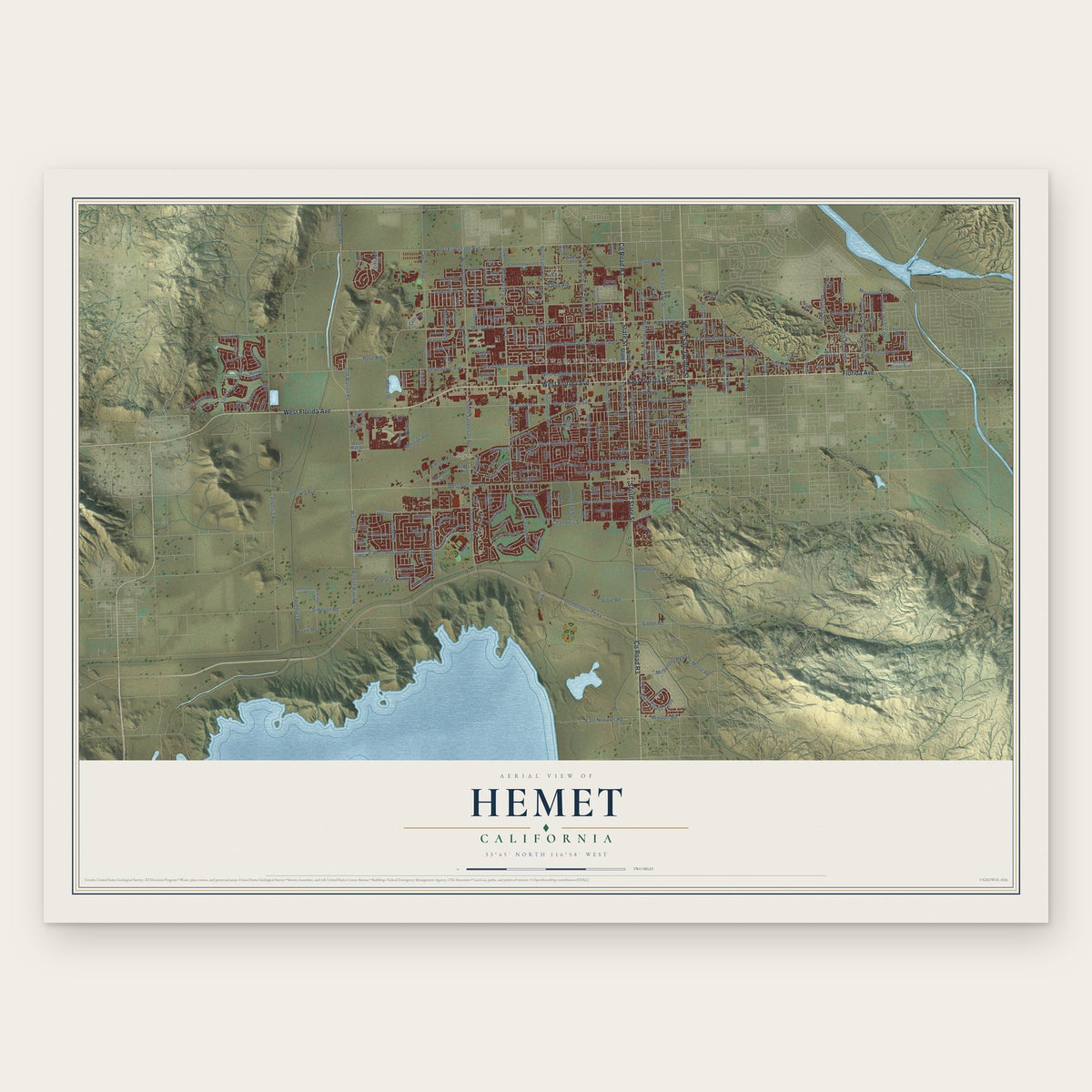
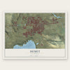
Hemet, California Map Art
Building by building, with labeled streets and shaded relief.
12" x 18" Archival Matte Print
A Map of Home. A Work of Art.
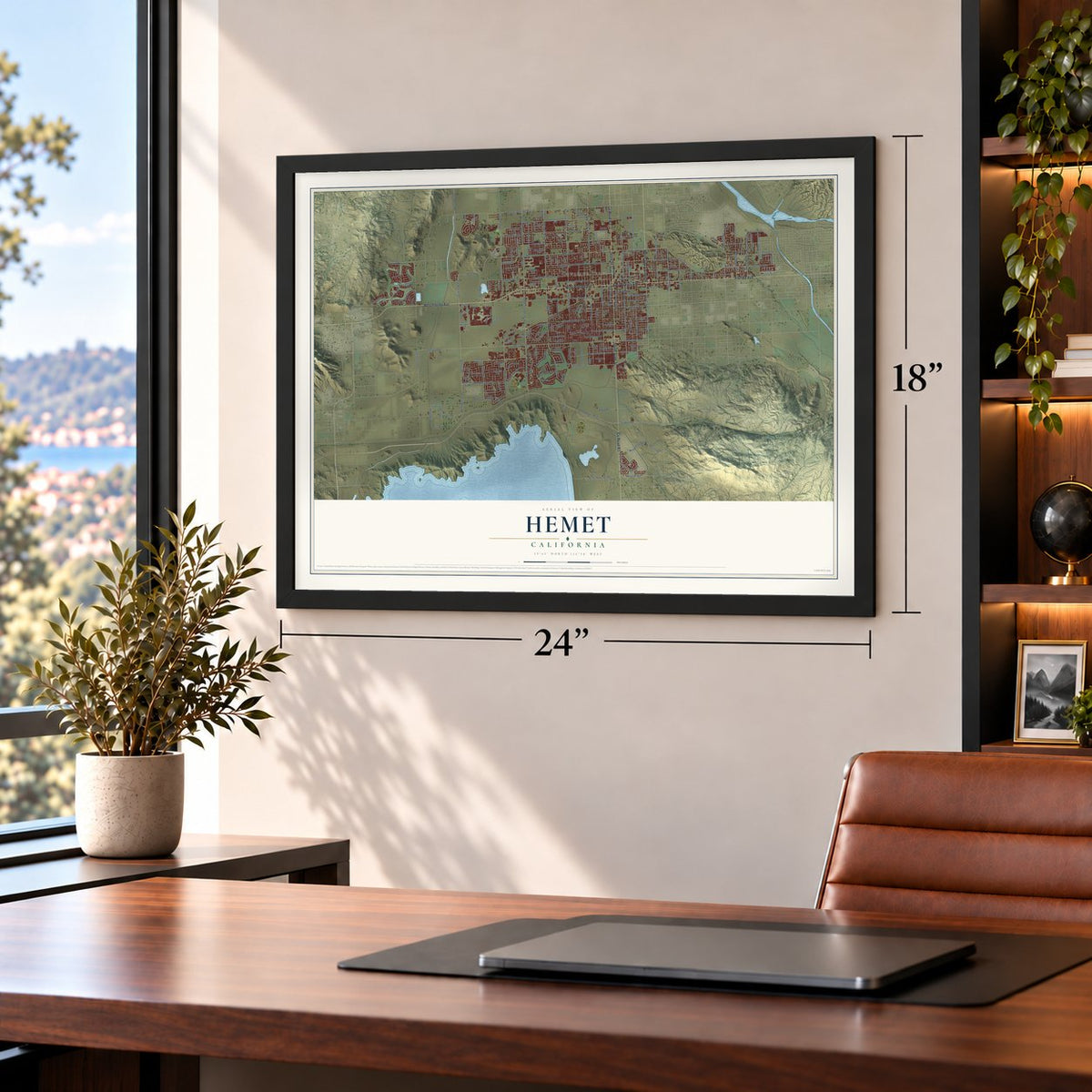
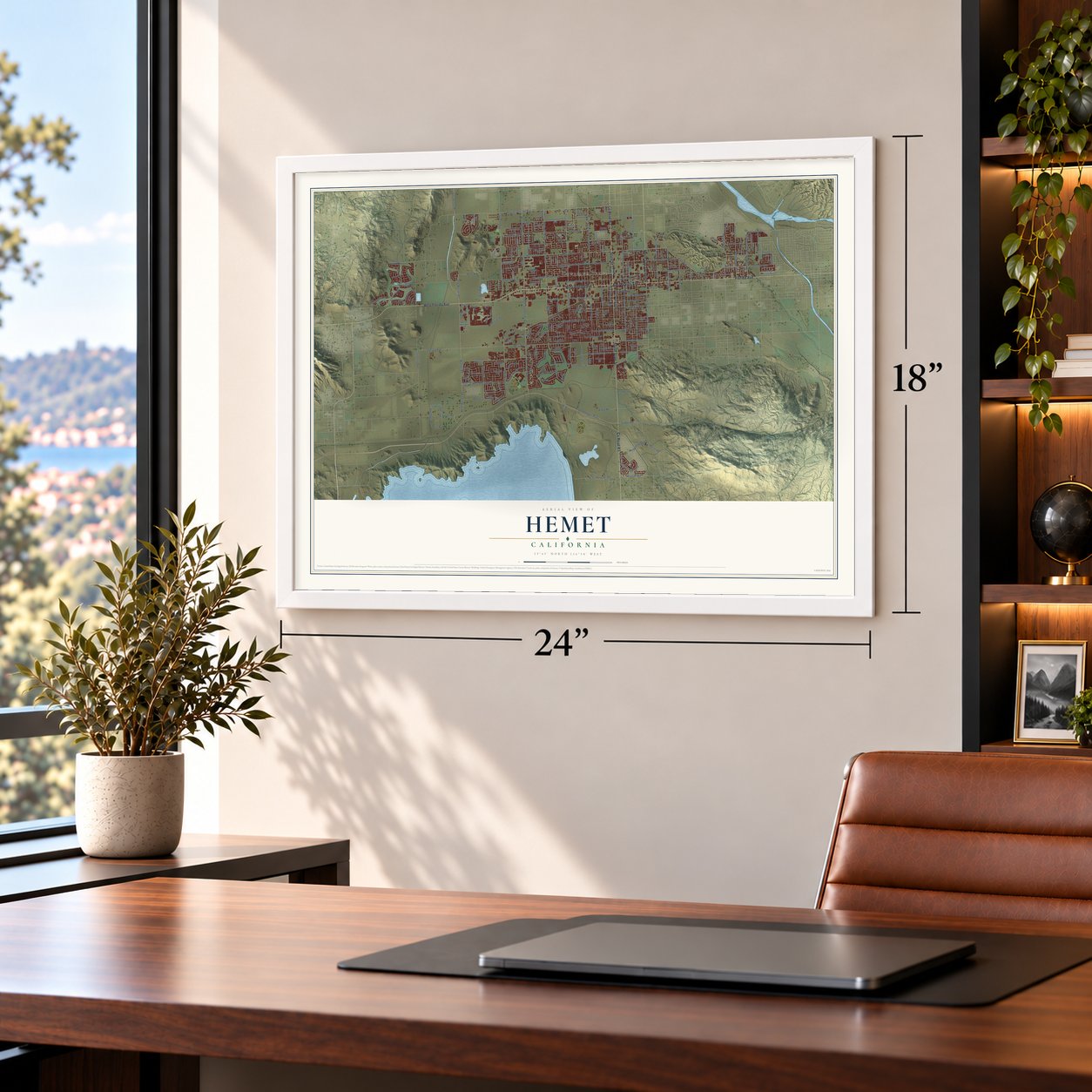
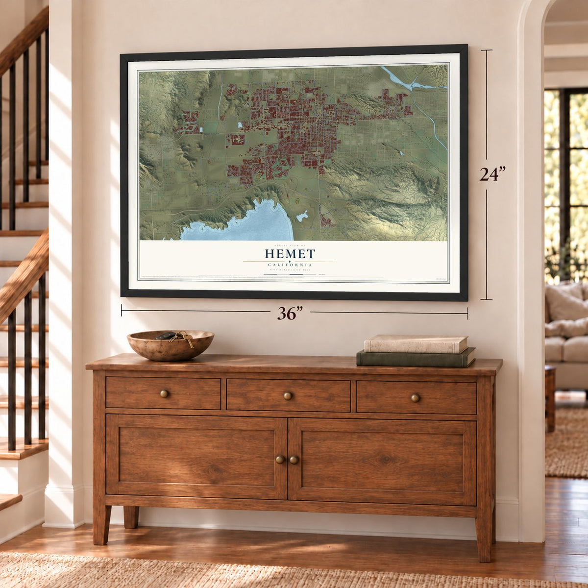
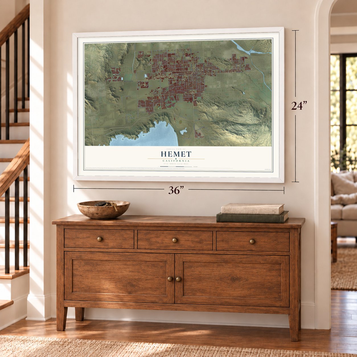
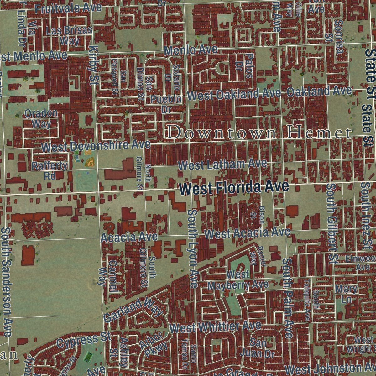
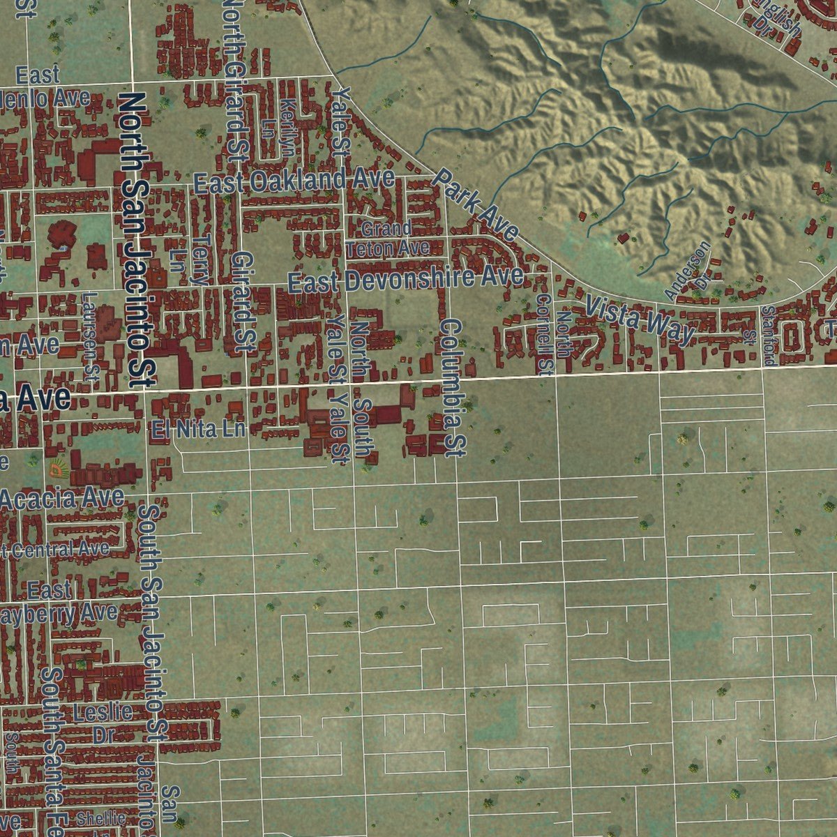
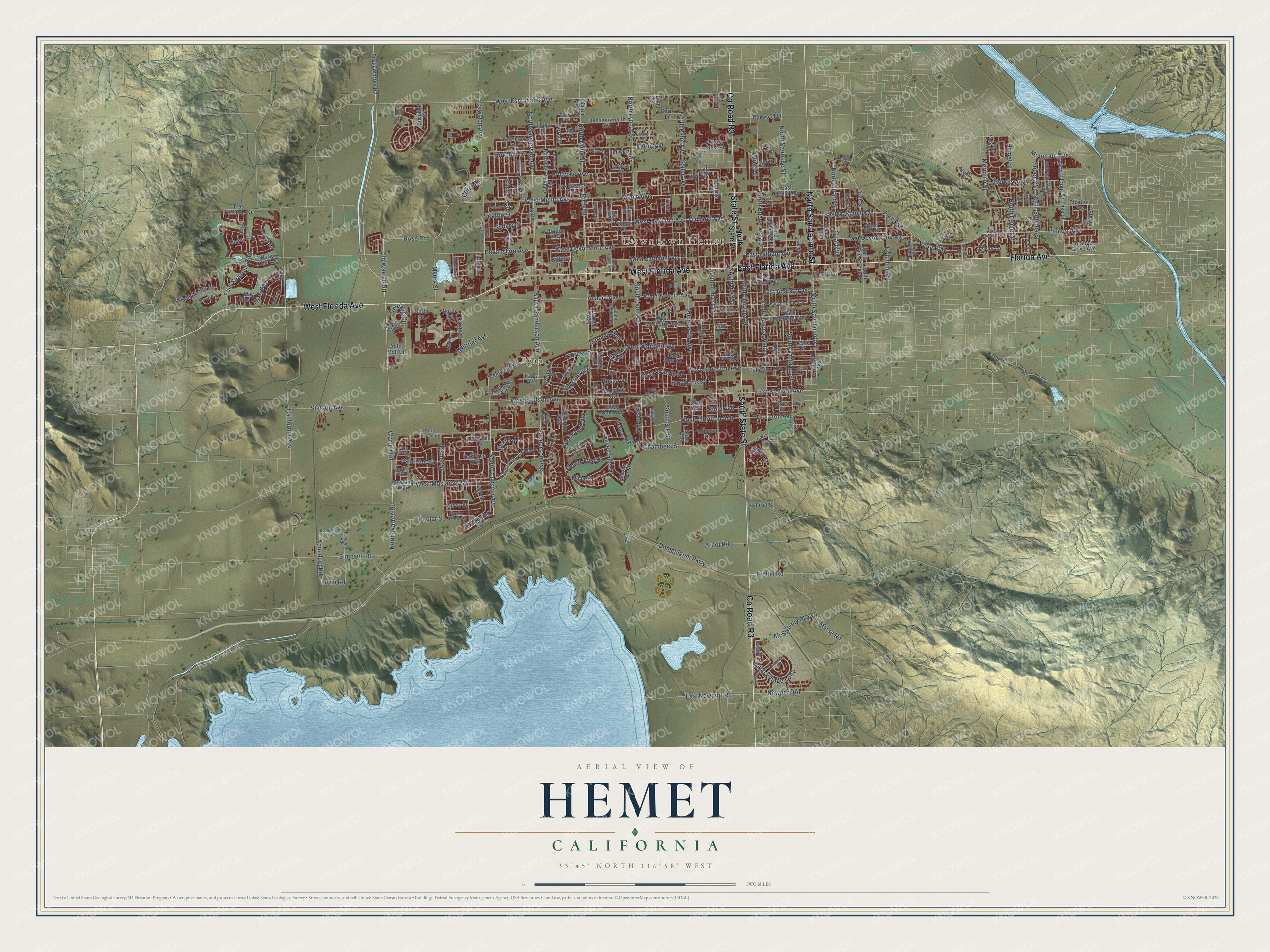
Explore Hemet, California from a whole new perspective. Created using aerial imagery and detailed geographic data, this map captures Hemet building by building, with labeled streets, familiar landmarks, and shaded topographical relief that highlights the natural contours of the landscape.
Combining modern data with the timeless character of a vintage atlas, this map is just as interesting up close as it is beautiful on the wall. Whether you grew up in Hemet, spent memorable years there, or call it home today, this unique map is a great way to celebrate a place that means something to you. Zoom in on the preview to look for your street, and then order a print to put your memories on the wall.
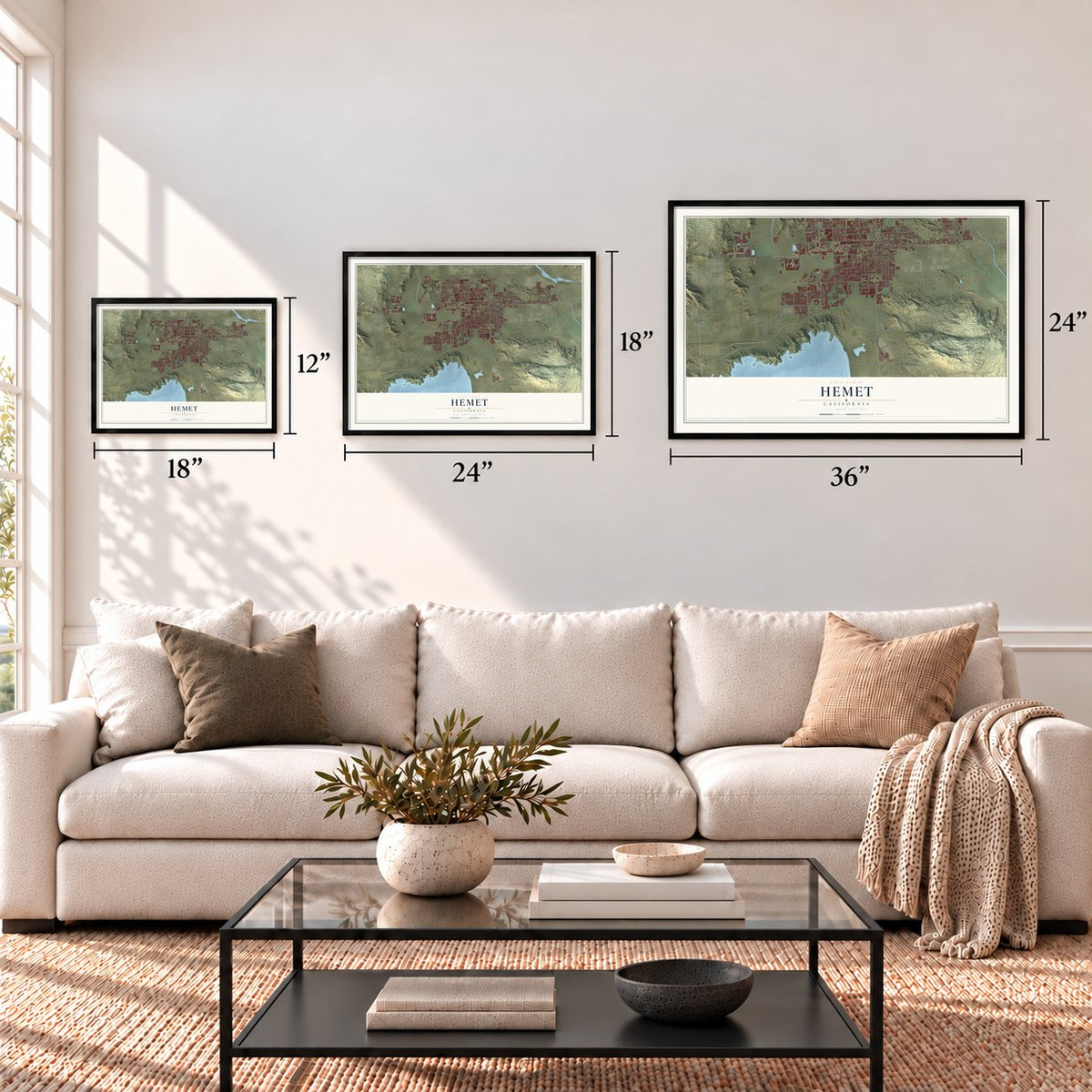
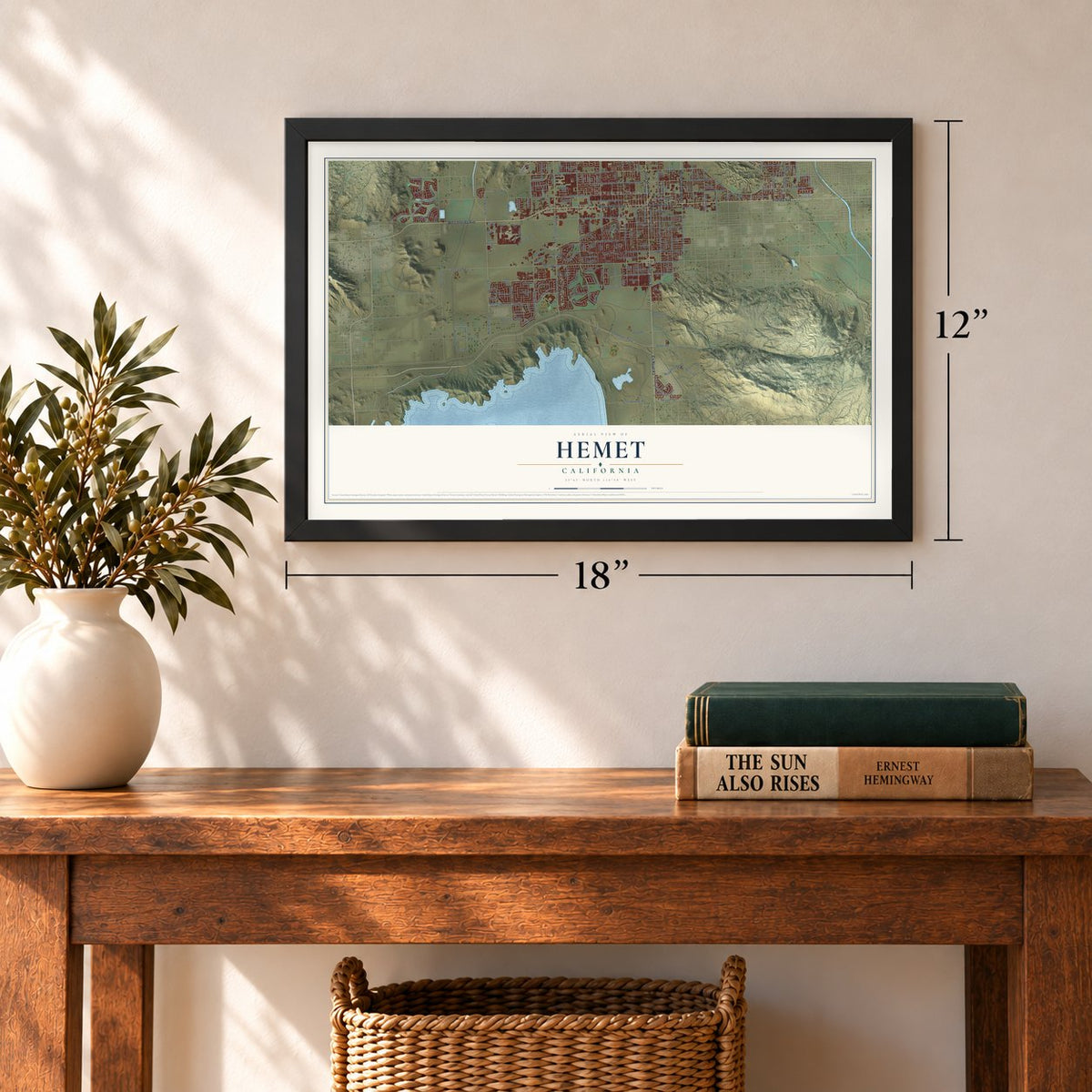
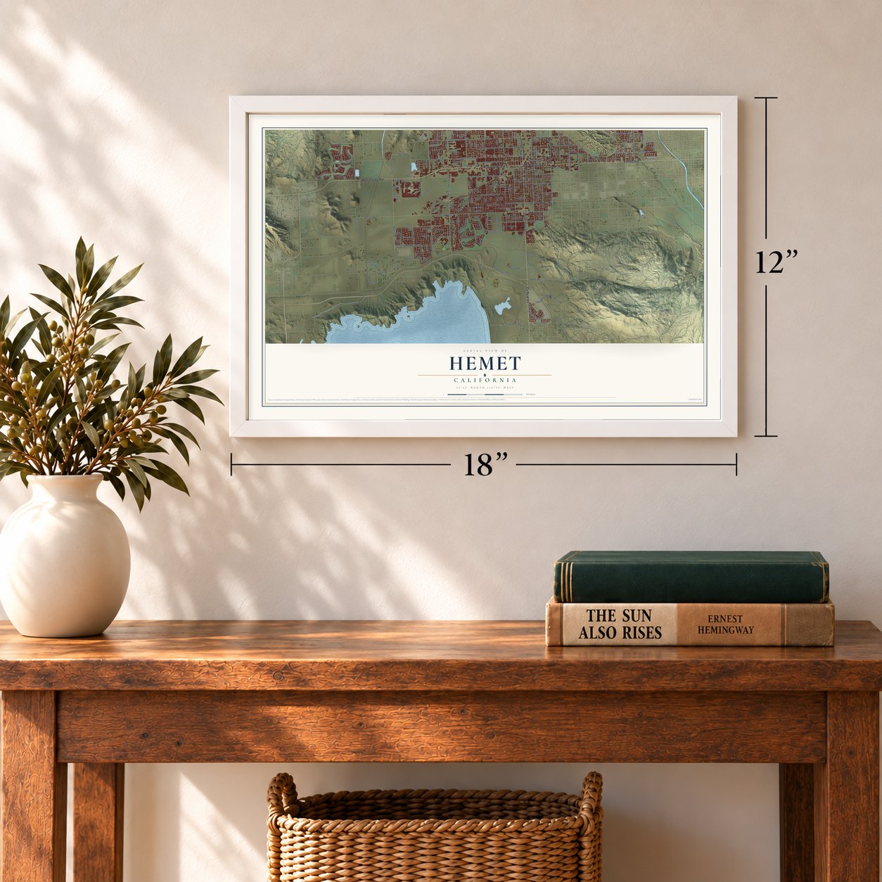
Three ways to hang it
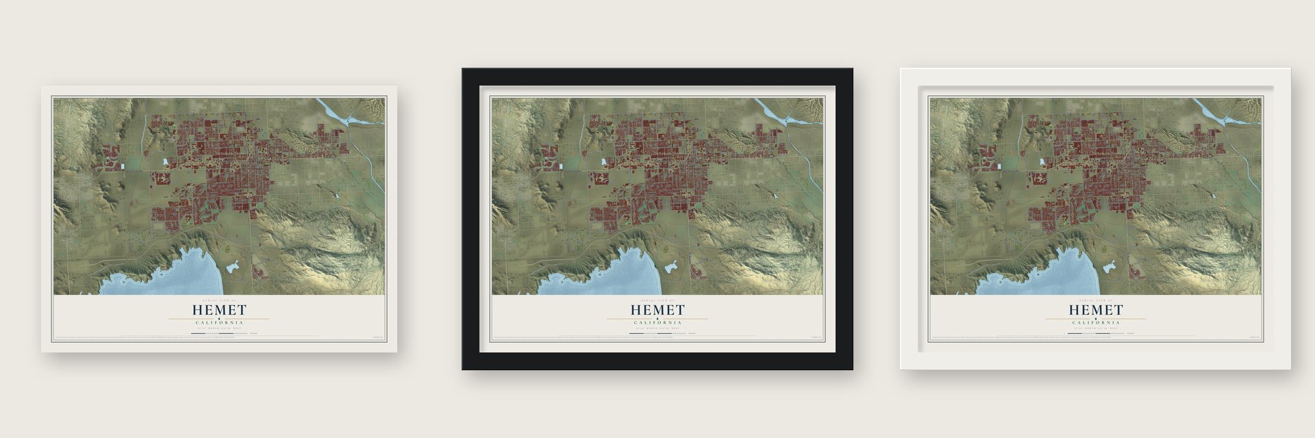
Unframed archival matte, a black wood frame or a white wood frame.
Up close
Geography Worth Displaying
This map was created using accurate cartographic data and authoritative geographic sources, including the U.S. Geological Survey and the Census Bureau. The map brings together terrain, waterways, roads, and building detail. The majority of the streets are labeled, houses are accurately depicted, and the topography is derived from government sources. Combining local data with carefully composed color and shading leads to this beautifully detailed Hemet artwork for your wall.
Rather than simply showing street outlines, we’ve included as many of the street names as we could reasonably fit on the map while keeping their names legible. Zoom in on the high resolution preview to see exactly what’s on the map. We truly set out to create a statement piece for anyone who loves Hemet. So whether it’s for you, or a gift for someone you love, we hope this map of Hemet brings back fond memories.
Read the story behind this map of Hemet, California from 2026.
Find your street
Names on the Hemet map
Every name below is printed on this map. Look for your street, your school, the park where you played, or the pond down the road.
Places and landmarks2
- Downtown Hemet
- Egan
Streets and roads264
- County Road R3
- West Florida Avenue
- Florida Avenue
- East Florida Avenue
- South State Street
- State Street
- North San Jacinto Street
- Warren Road
- South Lyon Avenue
- West Mustang Way
- South Cawston Avenue
- Rose Road
- Chambers Street
- North Warren Road
- Cawston Avenue
- West Esplanade Avenue
- West Thornton Avenue
- South Gilbert Street
- North Lyon Avenue
- South Buena Vista Street
- West Menlo Avenue
- Domenigoni Parkway
- Sanderson Avenue
- Menlo Avenue
- Devonshire Avenue
- West Stetson Avenue
- California Avenue
- Stetson Avenue
- West Devonshire Avenue
- West Acacia Avenue
Show all 264 streets
- Park Avenue
- Kirby Street
- Whittier Avenue
- Fruitvale Avenue
- South Sanderson Avenue
- West Johnston Avenue
- Eaton Avenue
- South Palm Avenue
- North Sanderson Avenue
- North Palm Avenue
- North Kirby Street
- West Latham Avenue
- East Devonshire Avenue
- South Santa Fe Street
- Palm Avenue
- East Newport Road
- Oakland Avenue
- West Oakland Avenue
- North Buena Vista Street
- North Santa Fe Street
- East Oakland Avenue
- Girard Street
- South Elk Street
- Hemet Street
- North Hemet Street
- Simpson Road
- Lincoln Avenue
- West Whittier Avenue
- South San Jacinto Street
- North Girard Street
- Morse Road
- North Soboba Street
- Soboba Street
- North Lake Street
- Gibbel Road
- Seven Hills Drive
- South Village Loop
- Newport Road
- Meridian Street
- San Marcos Drive
- South Harvard Street
- Fisher Street
- East Acacia Avenue
- Four Seasons Boulevard
- Berkley Avenue
- East Latham Avenue
- Brentwood Way
- McSweeny Parkway
- Columbia Street
- Mountain Avenue
- Old Warren Road
- Myers Street
- East Stetson Avenue
- Johnston Avenue
- Vista Way
- Acacia Avenue
- Arbol Road
- Carriage Circle
- Vista Grande Drive
- Rexford Drive
- Poplar Street
- Cove Street
- Thornton Avenue
- Millie Drive
- Aqueduct Road
- Peach Tree Street
- Pso Famosa
- Garland Way
- Seattle Street
- South Inez Street
- Cypress Street
- Stephenson Lane
- Sydney Street
- Sorksbill Drive
- Rose Avenue
- Ruby Avenue
- Bishop Drive
- Brisbane Street
- East Road
- Wren Lane
- Curry Drive
- Aria Road
- Levie Road
- Tori Drive
- North State Street
- Crows Nest Place
- South Warren Road
- Mustang Way
- Cloudywing Road
- Pueblo Drive
- Shiraz Drive
- Commonwealth Avenue
- East Menlo Avenue
- West Mayberry Avenue
- San Jacinto Street
- Lake Street
- East Johnston Avenue
- East Mayberry Avenue
- North Yale Street
- Silver Oak Way
- San Juan Drive
- Yale Street
- Wentworth Drive
- Cougar Canyon Road
- Tewell Drive
- East Kimball Avenue
- North Thompson Street
- Oakwood Street
- Maple Drive
- Heshmet Street
- Auto Mall Drive
- Lark Street
- Basswood Way
- Pepper Tree Drive
- Sunwest Drive
- Leslie Drive
- Terry Lane
- Tres Cerritos Avenue
- World Cup Avenue
- Carnation Avenue
- Oak Tree Way
- Orange Grove Avenue
- Claremont Street
- Amherst Avenue
- Mira Loma Avenue
- Arbor Parkway
- Charlton Avenue
- Industrial Avenue
- Bogey Avenue
- Las Brisas Way
- Almond Tree Street
- Caldera Lane
- Cinnabar Avenue
- South Kirby Street
- Carmel Way
- Bahama Drive
- Steiner Drive
- El Nita Lane
- Garry Lane
- Trevor Lane
- Sonrisa Street
- Hollyvale Lane
- Wetherly Street
- Via Linda Drive
- Alne Drive
- Tanya Avenue
- Rafferty Road
- Slate Avenue
- Mary Lane
- Taft Avenue
- South Yale Street
- Coral Avenue
- Oradon Way
- North Street
- Cori Drive
- Linder Street
- Ashley Street
- North Road
- Pine Avenue
- Palos Drive
- Auto Boulevard
- Tell Lane
- Isla Street
- East Lincoln Avenue
- Waterside Drive
- East Central Avenue
- Corte Alamonte
- South Gilmore Street
- El Fuego Road
- Grand Teton Avenue
- Madrid Street
- Dusky Wing Road
- Blue Spruce Drive
- North Cornell Street
- Almarie Way
- Laursen Street
- Elmwood Avenue
- Creekside Drive
- Autumn Drive
- West Wright Street
- Duval Lane
- Cavendish Drive
- Colby Street
- Colorado Drive
- Bellwood Street
- Zolder Street
- San Dimas Street
- Solano Drive
- Barber Drive
- English Drive
- Kerilyn Lane
- Skyview Drive
- Terrace Drive
- Boston Street
- Granite Drive
- Ibiza Lane
- Kit Avenue
- Corte Ruiz
- South Thompson Street
- Bella Vista Drive
- El Rancho Circle
- North Cawston Avenue
- South Tahquitz Avenue
- Lexington Street
- Alabaster Avenue
- Olazabal Drive
- North Gilmore Street
- Shellie Lane
- Domenigoni Road
- Paris Street
- Lansing Street
- Ivy Street
- Appaloosa Drive
- Indian Grass Drive
- Hackney Street
- San Pasquell Street
- Santo Tomas Drive
- Haviture Way
- Anderson Drive
- Gloria Drive
- Stanford Street
- Santa Fe Street
- Mesa View Street
- Ranier Way
- Bison Street
- Corte del Mar
- Dutch Mill Road
- Sunjoy Drive
- Orchid Street
- Lotus
- Alcott Court
- Onyx Avenue
- Searl Parkway
- Ollie Way
Names are listed as they appear on the printed map. Zoom into the product photos to find them.
About Hemet, California
Hemet is a city of 89,833 people in Riverside County, sharing the San Jacinto Valley with the city of San Jacinto. The Soboba and Cahuilla peoples lived here long before Spanish rule, and later Mission San Luis Rey grazed cattle on the land. After Mexico won independence, its government granted Rancho San Jacinto Viejo to José Antonio Estudillo in 1842.
In 1886 a group of California investors, among them E. L. Mayberry and W. F. Whittier, bought 3,000 acres from Francisco Estudillo. They also bought 1,000 acres in the Hemet Valley, high in the San Jacinto Mountains, paying Charles Thomas $15,000 for that tract. Their plan was to dam the San Jacinto River there and send water down to the dry valley for farming. The town grew up around that water, and in January 1910, 130 of its 177 residents voted to incorporate while 33 voted no, mostly landowners who feared higher taxes.
“Pochea was one of a cluster of Indian villages forming the very large settlement of Pahsitnah, which extended along the ridge east and west of Ramona Bowl.”
- Named on November 11, 1893The Lake Hemet Land Company first called its townsite South San Jacinto. When the company filed its plat map on November 11, 1893, it switched to Hemet, borrowing the name of the mountain valley where its dam would stand. That valley is now called Garner Valley.
- Lake Hemet in 1895Work on the dam began in 1890, and the company finished Hemet Dam in 1895 as a private project, creating Lake Hemet. A county history called it one of the largest stone masonry works in the world. Its water reached 7,000 acres at first and later spread east and west across the valley, turning dry land into farms.
- A busy main street by 1894Within a year of its naming, Hemet had its own newspaper, the Hemet News, and Heffelfinger & Co ran a general store that filled a whole block. The two-story Hotel Mayberry had baths, running water and electric lights powered by the company's own plant. John McCool's brick flour mill cost $20,000 to build and could turn out 50 barrels of flour a day.
- A wartime flight schoolFrom 1940 to 1944 the Ryan School of Aeronautics trained about 6,000 pilots for the Army Air Force at Hemet. The flight school grounds later became Hemet-Ryan Airport. By 1950 Hemet had 10,000 people, and with Corona and Riverside it ranked among the three largest cities in the county.
- The Ramona Pageant since 1923Hemet is home to the Ramona Pageant, California's official outdoor play. It was first staged in 1923, and few outdoor plays anywhere in the country have run as long. It is performed in the Ramona Bowl, a natural amphitheater in the foothills, near the ridge where Pochea and the other villages of Pahsitnah once stood.
Keep exploring California
Hemet is one of 1,990 California towns we've mapped. Every dot on the map is a print of its own.
The search covers every state, California first.
Near Hemet
Order 2 or more town maps and save 10%. Shown in the size and finish you picked above, so they hang as a set.
- East Hemet 12" x 18" / Archival Matte Print $39.99
- San Jacinto 12" x 18" / Archival Matte Print $39.99
- Green Acres 12" x 18" / Archival Matte Print $39.99

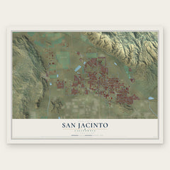
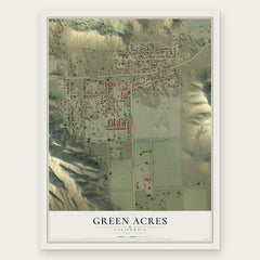
More maps nearby: Winchester, Valle Vista, Homeland, Romoland and Nuevo.
The art of mapping a place
How This Map Was Made
Real places. Remarkable detail. Discover the layers that turn geographic data into a map of home.

The view from above
Aerial imagery reveals the character of the land: woodland, open fields, and the patterns of a place.

The shape of the land
Elevation data brings hills, valleys, and subtle changes in the landscape into view.

The details of home
Roads, waterways, and building footprints come together to make the map feel unmistakably local.

Geography becomes art
Considered color, shading, and typography bring the layers together in a map made for your wall.


Process illustrated with Mendon, Massachusetts. Aerial imagery: USDA NAIP. Terrain: USGS 3D Elevation Program. Map details and finished artwork: KNOWOL.
The Details
About This Print
Choose an archival matte print, or a black or white Ayous wood frame. The archival matte print is unframed.
Select your size and finish above to see the matching product image and price.
Materials & Craftsmanship
A contemporary map with the character of a classic atlas, printed on archival matte paper. Optional frames are made from Ayous wood.
Your printed map does not include the watermark shown in the full-map preview.
Shipping & Delivery
Free shipping within the United States. Every print is made to order in the USA.
Buying a gift? Add a note in your cart and we'll include it. We never put prices in the package.
Prints ship within 2 to 3 business days. Allow 7 to 10 days total from ordering for delivery. Timing may vary during holidays or periods of high order volume.
Read our shipping policy.
Returns and damaged prints
Each print is made to order. Change-of-mind refunds are not available after production.
If your print arrives damaged, misprinted or incorrect, contact support@knowol.com within 30 days of receiving it. Include your order number, photos and a description of the issue.
Read our full refund and replacement policy. For questions about your order, email support@knowol.com.