
Search for another town




Free U.S. delivery 7 to 10 days after you order
San Jacinto, California Map Art
Building by building, with labeled streets and shaded relief.
12" x 18" Archival Matte Print
A Map of Home. A Work of Art.
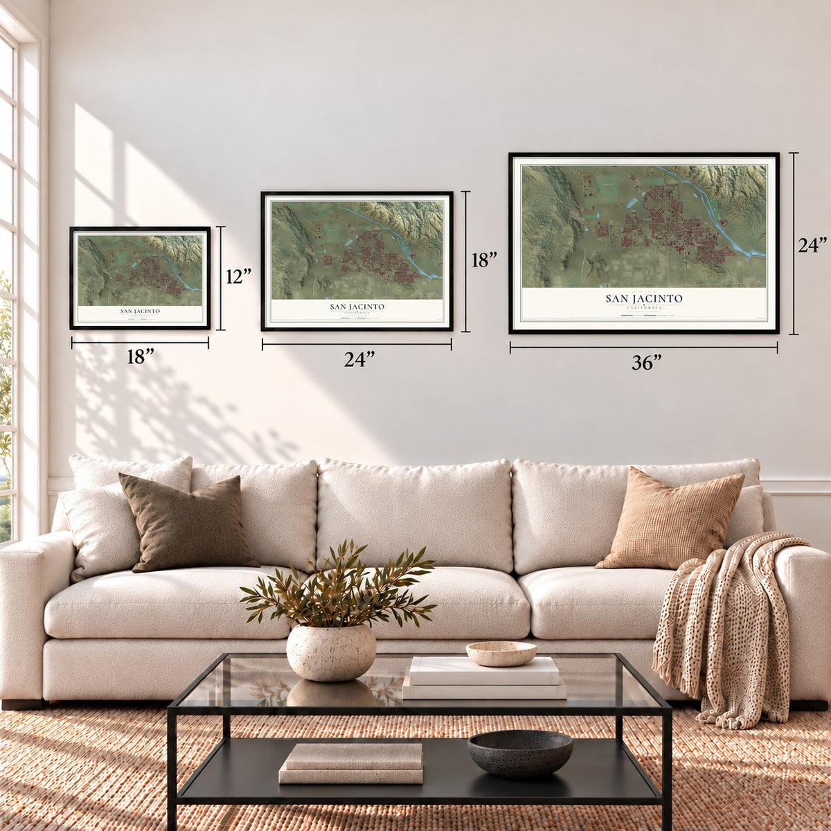
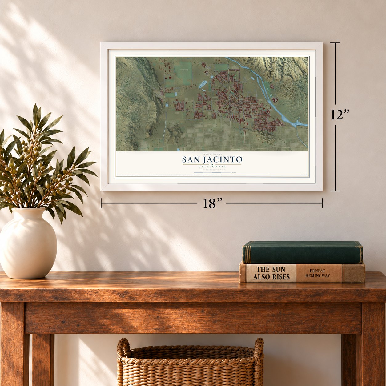
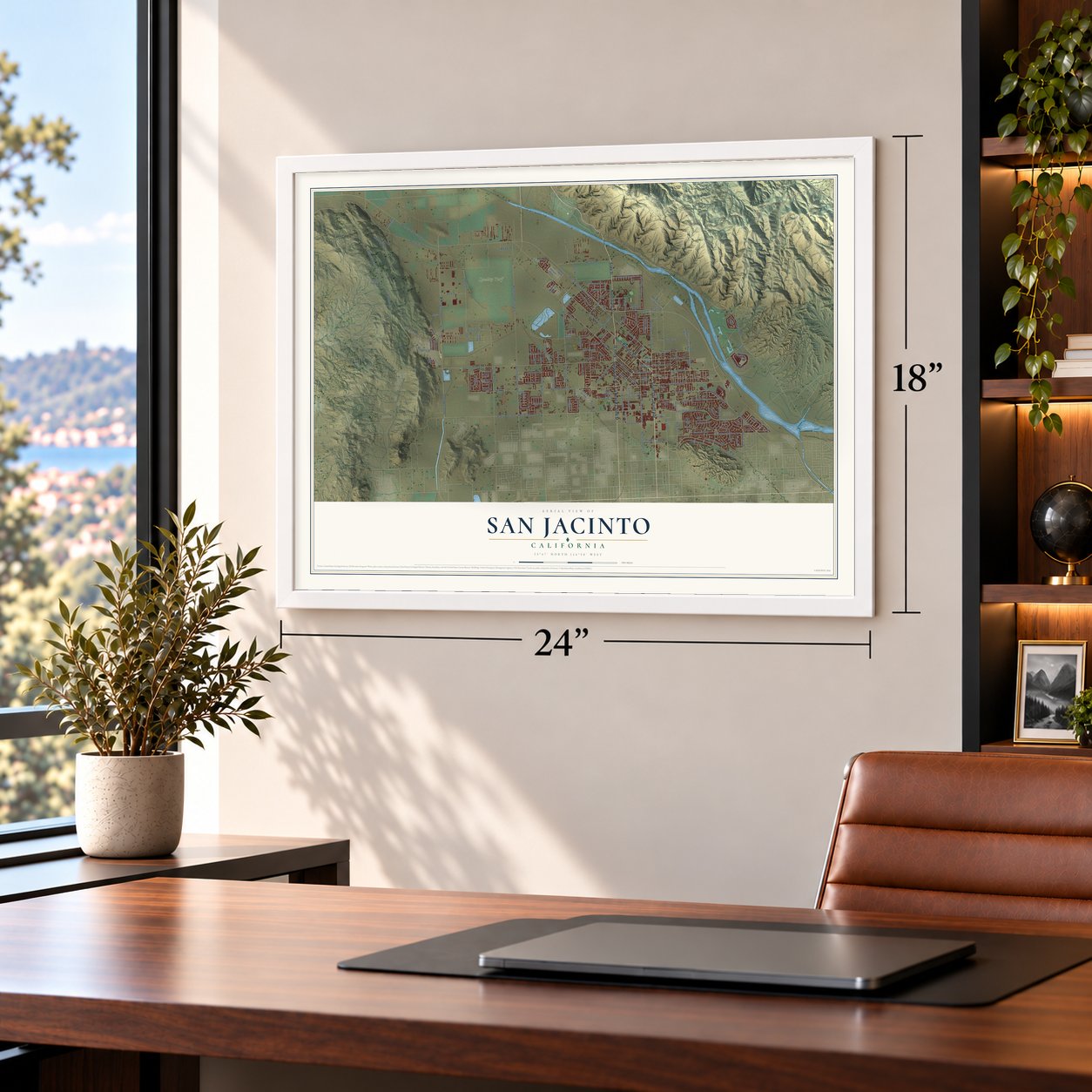
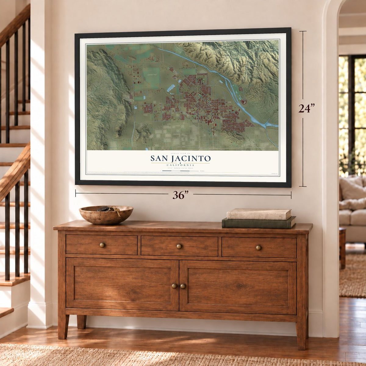
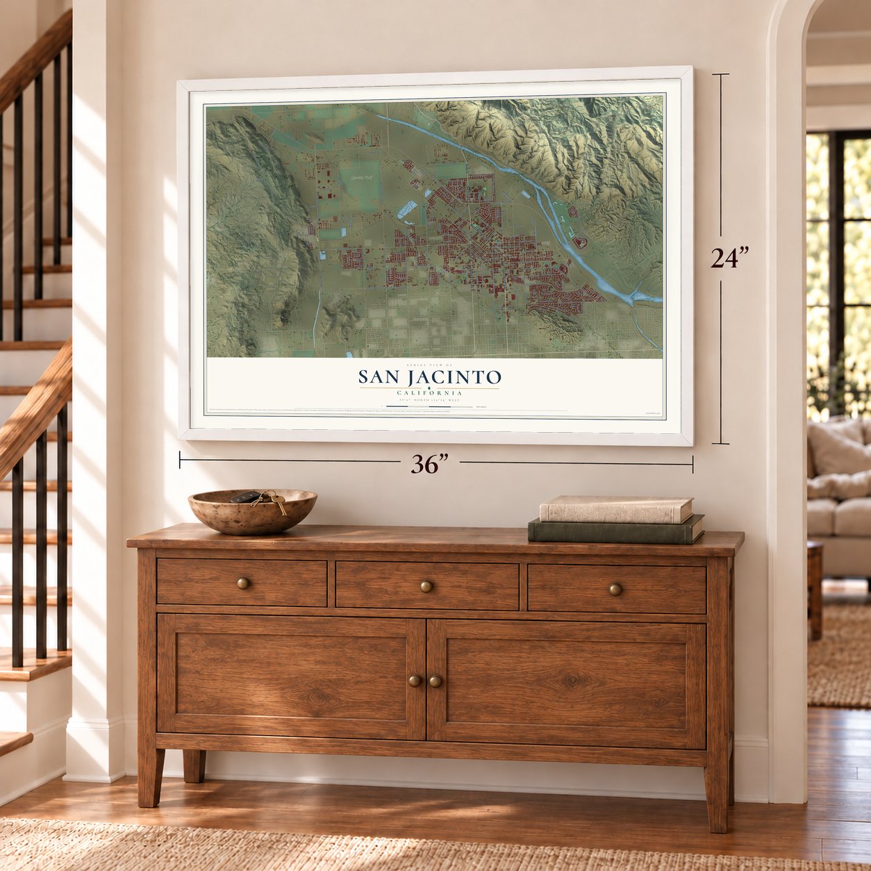
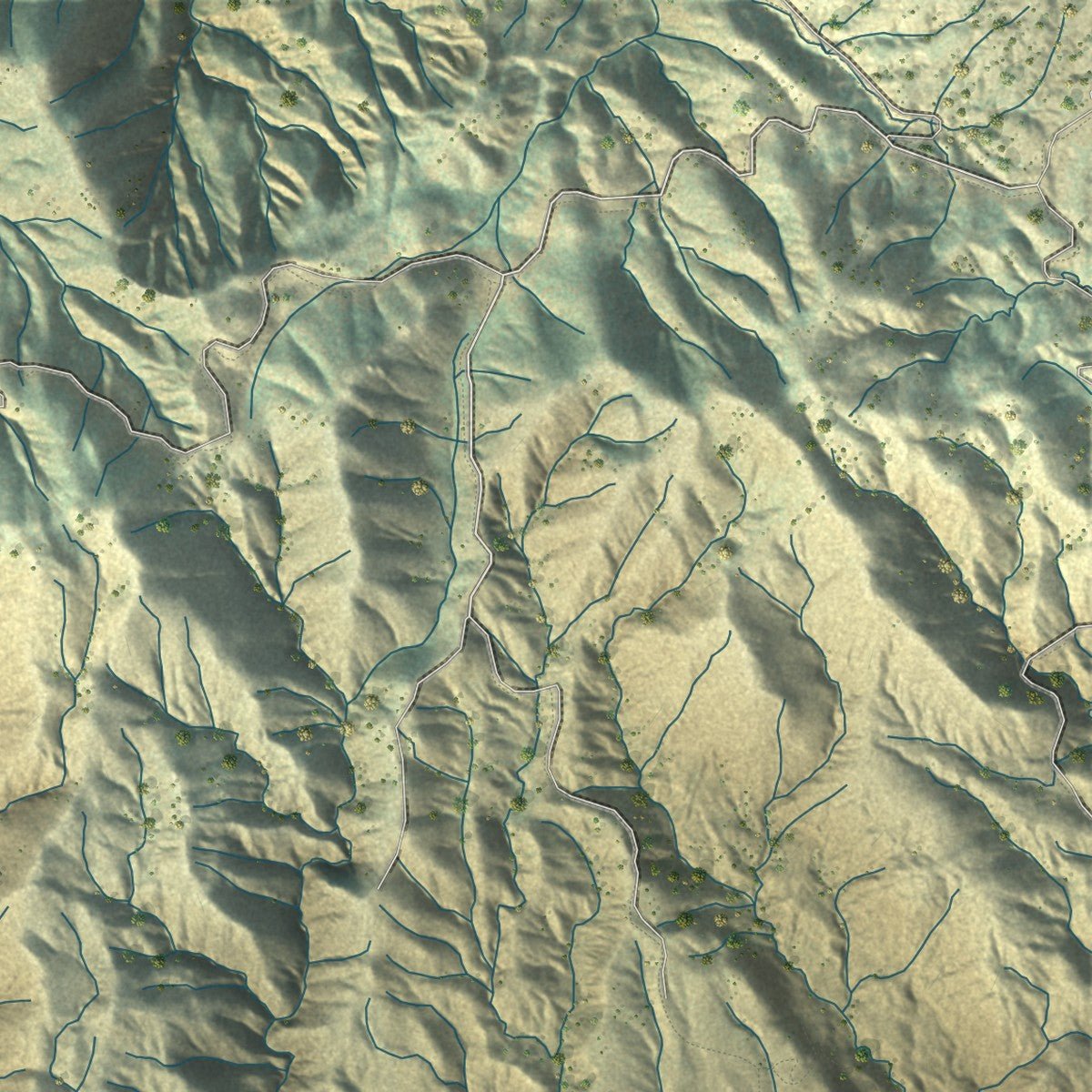
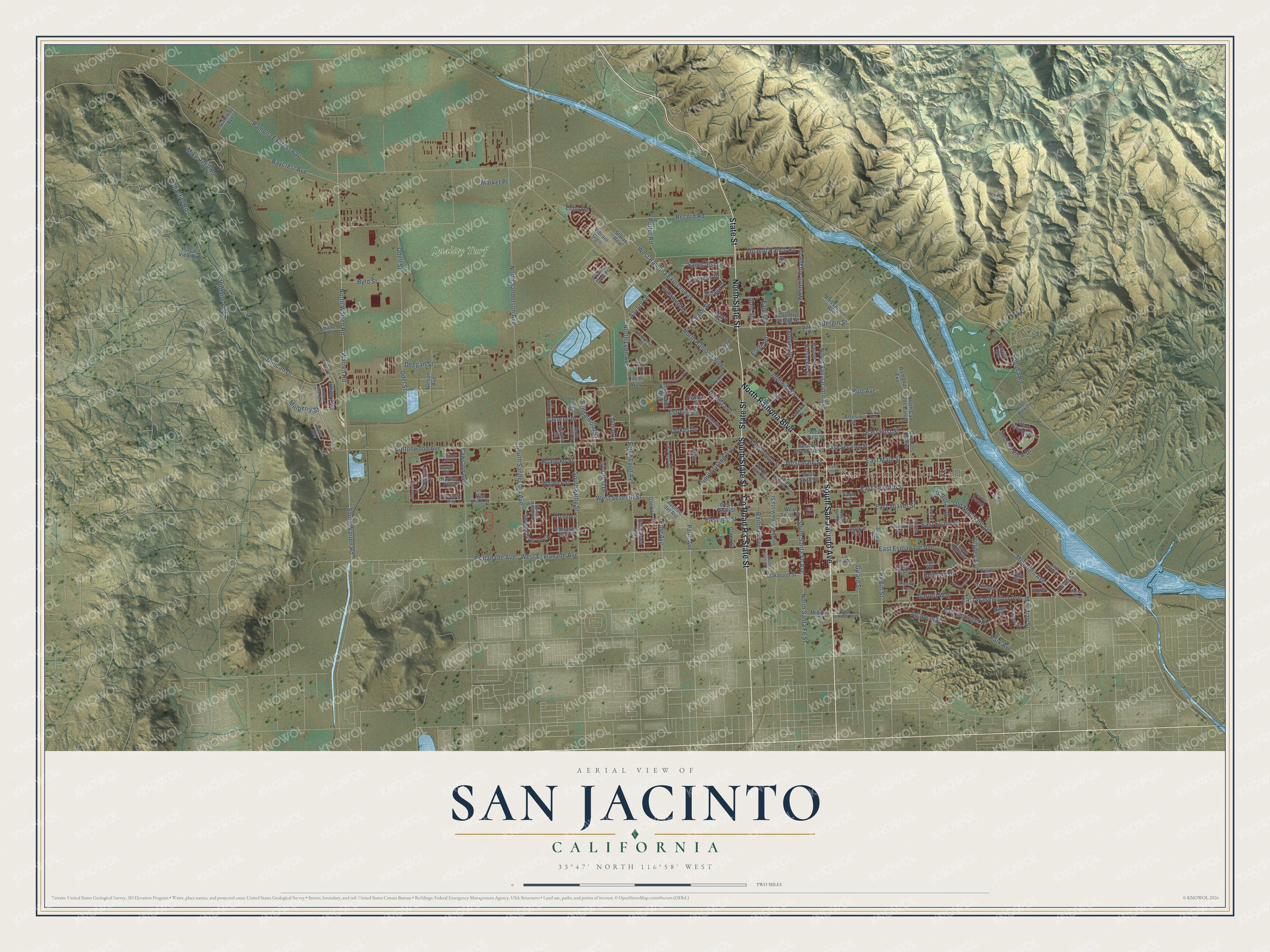
Explore San Jacinto, California from a whole new perspective. Created using aerial imagery and detailed geographic data, this map captures San Jacinto building by building, with labeled streets, familiar landmarks, and shaded topographical relief that highlights the natural contours of the landscape.
Combining modern data with the timeless character of a vintage atlas, this map is just as interesting up close as it is beautiful on the wall. Whether you grew up in San Jacinto, spent memorable years there, or call it home today, this unique map is a great way to celebrate a place that means something to you. Zoom in on the preview to look for your street, and then order a print to put your memories on the wall.
Three ways to hang it
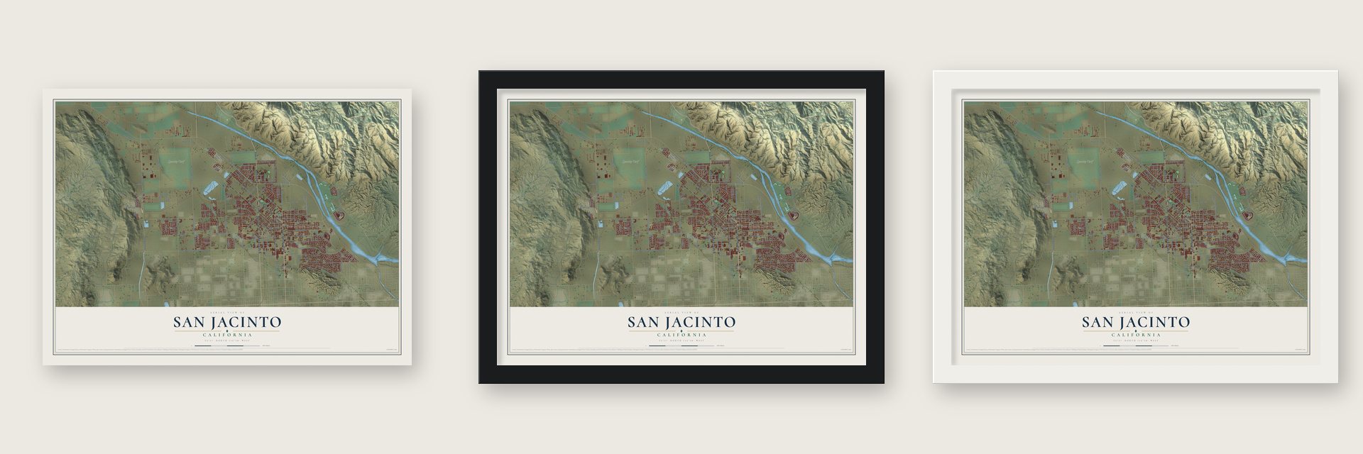
Unframed archival matte, a black wood frame or a white wood frame.
Up close
Geography Worth Displaying
This map was created using accurate cartographic data and authoritative geographic sources, including the U.S. Geological Survey and the Census Bureau. The map brings together terrain, waterways, roads, and building detail. The majority of the streets are labeled, houses are accurately depicted, and the topography is derived from government sources. Combining local data with carefully composed color and shading leads to this beautifully detailed San Jacinto artwork for your wall.
Rather than simply showing street outlines, we’ve included as many of the street names as we could reasonably fit on the map while keeping their names legible. Zoom in on the high resolution preview to see exactly what’s on the map. We truly set out to create a statement piece for anyone who loves San Jacinto. So whether it’s for you, or a gift for someone you love, we hope this map of San Jacinto brings back fond memories.
Read the story behind this map of San Jacinto, California from 2026.

Find your street
Names on the San Jacinto map
Every name below is printed on this map. Look for your street, your school, the park where you played, or the pond down the road.
Places and landmarks2
- San Jacinto City Hall
- Quality Turf
Streets and roads187
- State Street
- South San Jacinto Avenue
- North Ramona Boulevard
- County Road R3
- North State Street
- South State Street
- Ramona Expressway
- West Ramona Expressway
- East Main Street
- East Seventh Street
- Mountain Avenue
- North San Jacinto Avenue
- East First Street
- Bergin Street
- Ivy Crest Drive
- Sandalwood Street
- South Warren Road
- North Warren Road
- Eleventh Street
- West Esplanade Avenue
- North Lyon Avenue
- East Second Street
- Roanoke Street
- Cottonwood Avenue
- West Seventh Street
- Warren Road
- North Sanderson Avenue
- Duncan Drive
- Park Avenue
- Soboba Road
Show all 187 streets
- De Anza Drive
- East Esplanade Avenue
- Baycrest Avenue
- Palm Avenue
- East Washington Avenue
- Idyllwild Drive
- Cawston Avenue
- Hewitt Street
- East Evans Street
- South Santa Fe Avenue
- Mike Reed Road
- Odell Street
- Record Road
- East Shaver Street
- South Kirby Street
- South Lyon Avenue
- South Sanderson Avenue
- Villines Avenue
- Soboba View Drive
- South Grand Avenue
- East Beringer Drive
- Chase Street
- North Santa Fe Street
- West Main Street
- Girard Street
- Agape Avenue
- Meridian Street
- Potter Road
- Western Village Drive
- Caseros Drive
- Las Rosas Drive
- Voltaire Vis
- Garrett Way
- Quandt Ranch Road
- Byrd Street
- Deegan Street
- Railroad Avenue
- Old Mountain Avenue
- Pine Avenue
- Sagecrest Drive
- Esplanade Avenue
- Chastity Road
- Reinhart Street
- Julian Avenue
- Sussex Drive
- Sunswept Drive
- Eagle Road
- Cypress Drive
- Mulberry Street
- Estrella Street
- Echo Road
- Odel Street
- Savory Lane
- Market Place
- Burt Avenue
- Eagle Drive
- River Street
- Sykes Drive
- Gold Street
- North Cam Los Banos
- West First Street
- Sweet Clover Loop
- Gateway Avenue
- Alessandro Avenue
- Soboba Springs Drive
- Cam Los Banos
- Artesia Street
- Young Street
- South Buena Vista Street
- North Brinton Street
- Country Village Drive
- Green Street
- West Sixth Street
- West Ninth Street
- Nelson Avenue
- Second Street West
- Avenue del Rio
- Oakwood Street
- Warwick Street
- Capet Street
- Nantucket Street
- Harbor Street
- Pulsar View Road
- Alder Avenue
- Peregrine Lane
- Malaga Drive
- Ramona Exy
- Enchanted Trail
- Reposo Street
- Sunyside Boulevard
- Overton Drive
- Lipizzan Drive
- Midway Street
- Lori Ann Street
- Justice Avenue
- Vibrant Glen
- West Tenth Street
- Conrad Place
- Statue Row
- Solana Street
- Acorn Drive
- Orchid Lane
- Torino Avenue
- Sunset Lane
- Rojo Lane
- Prairie Glen Place
- Hartley Parkway
- Red Pine Street
- Yeats Place
- Cam de Oro
- Crane Street
- Reeds Way
- Santo Drive
- Napa Court
- Fig Street
- Vis del Parque
- Lake Park Drive
- North Dillon Avenue
- Avenue Roundelay
- Peaceful Lane
- Grassy Meadow Drive
- Whispering Bells Road
- East Midway Avenue
- South Juanita Street
- Tahquitz Street
- North Kirby Street
- South Victoria Avenue
- La Entrada
- Newcastle Way
- Michel Road
- South Irwin Street
- Melville Avenue
- Kirby Street
- Hooper Drive
- Senator Way
- Katrina Lane
- Luna Way
- Eureka Road
- Yukon Drive
- Elm Avenue
- East Fifth Street
- La Boca Street
- Amherst Way North
- Rosemont Circle
- Laurelhurst Heights
- Tiger Lane
- Porterfield Drive
- Courtland Avenue
- Montara Way
- Saint Emilion Lane
- Chardonnay Place
- Burgundy Lace Lane
- Groveside Drive
- Timothy Drive
- Cypress Avenue
- Chatham Way
- Win Court
Names are listed as they appear on the printed map. Zoom into the product photos to find them.
About San Jacinto, California
San Jacinto is a city of 53,898 people in Riverside County, on the northern edge of the valley that shares its name. The Luiseño people lived in many villages across this valley long before Juan Bautista de Anza's overland trail crossed it in the 1770s. Mission padres named the valley for Saint Hyacinth, and around 1820 they set up an outpost here.
In 1842 Jose Antonio Estudillo received a Mexican land grant of 35,000 acres in the valley. The town was founded in 1870, and the San Jacinto Land Association platted the present city at Five Points in 1883. The railroad came in 1888, the same year the city incorporated on April 20, so San Jacinto ranks among the oldest cities in the county.
- The Estudillo MansionFrancisco Estudillo, a son of the grant holder, gave land beside his mansion for the railroad stop, and the house and the depot became the heart of the growing town. He served as its first postmaster and was later elected its second mayor. His brother, Jose Antonio Estudillo Jr., built a twin mansion. The two houses and their grounds are what remains of the 1842 grant, and the Estudillo Mansion joined the National Register in 2001.
- Soviet fliers in 1937On July 15, 1937, Mikhail Gromov and his crew of three landed in San Jacinto after flying 6,262 miles from Moscow over the North Pole in a Tupolev ANT-25. No plane had flown farther without a stop. In the early 1950s E Clampus Vitus and the county's transportation department set a stone marker on Cottonwood Avenue, west of Sanderson Avenue, and the landing site is California State Historical Landmark Number 989.
- The Ramona Pageant since 1923San Jacinto and its people helped launch the Ramona Pageant in 1923, and the town has backed the show ever since. It is now California's official State Outdoor Play.
- Dairies and hot springsFor many years San Jacinto lived on farming. In the late 19th and early 20th centuries the city was home to many dairies, and visitors who came for the nearby hot springs gave the local economy another lift.
Keep exploring California
San Jacinto is one of 1,927 California towns we've mapped. Every dot on the map is a print of its own.
The search covers every state, California first.
Near San Jacinto
Order 2 or more town maps and save 10%. Shown in the size and finish you picked above, so they hang as a set.
- Hemet 12" x 18" / Archival Matte Print $39.99
- East Hemet 12" x 18" / Archival Matte Print $39.99
- Beaumont 12" x 18" / Archival Matte Print $39.99


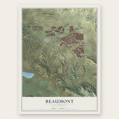
More maps nearby: Green Acres, Valle Vista, Winchester, Lakeview and Homeland.
The art of mapping a place
How This Map Was Made
Real places. Remarkable detail. Discover the layers that turn geographic data into a map of home.

The view from above
Aerial imagery reveals the character of the land: woodland, open fields, and the patterns of a place.

The shape of the land
Elevation data brings hills, valleys, and subtle changes in the landscape into view.

The details of home
Roads, waterways, and building footprints come together to make the map feel unmistakably local.

Geography becomes art
Considered color, shading, and typography bring the layers together in a map made for your wall.


Process illustrated with Mendon, Massachusetts. Aerial imagery: USDA NAIP. Terrain: USGS 3D Elevation Program. Map details and finished artwork: KNOWOL.
The Details
About This Print
Choose an archival matte print, or a black or white Ayous wood frame. The archival matte print is unframed.
Select your size and finish above to see the matching product image and price.
Materials & Craftsmanship
A contemporary map with the character of a classic atlas, printed on archival matte paper. Optional frames are made from Ayous wood.
Your printed map does not include the watermark shown in the full-map preview.
Shipping & Delivery
Free shipping within the United States. Every print is made to order in the USA.
Buying a gift? Add a note in your cart and we'll include it. We never put prices in the package.
Prints ship within 2 to 3 business days. Allow 7 to 10 days total from ordering for delivery. Timing may vary during holidays or periods of high order volume.
Read our shipping policy.
Returns and damaged prints
Each print is made to order. Change-of-mind refunds are not available after production.
If your print arrives damaged, misprinted or incorrect, contact support@knowol.com within 30 days of receiving it. Include your order number, photos and a description of the issue.
Read our full refund and replacement policy. For questions about your order, email support@knowol.com.