
Search for another town


Free U.S. delivery 7 to 10 days after you order
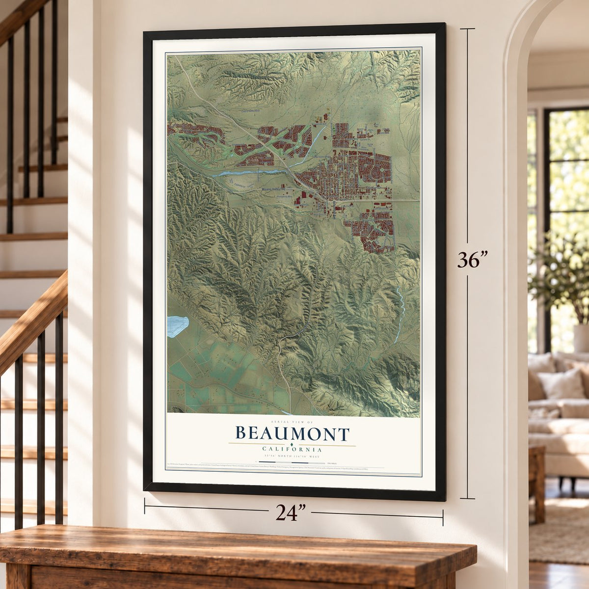
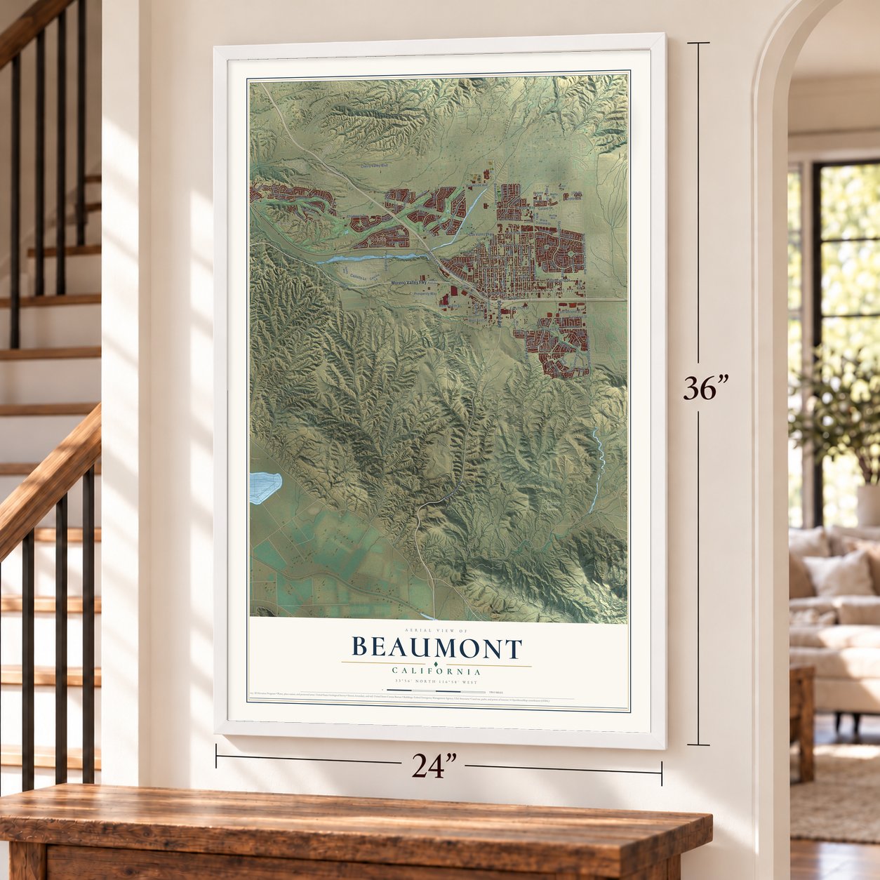
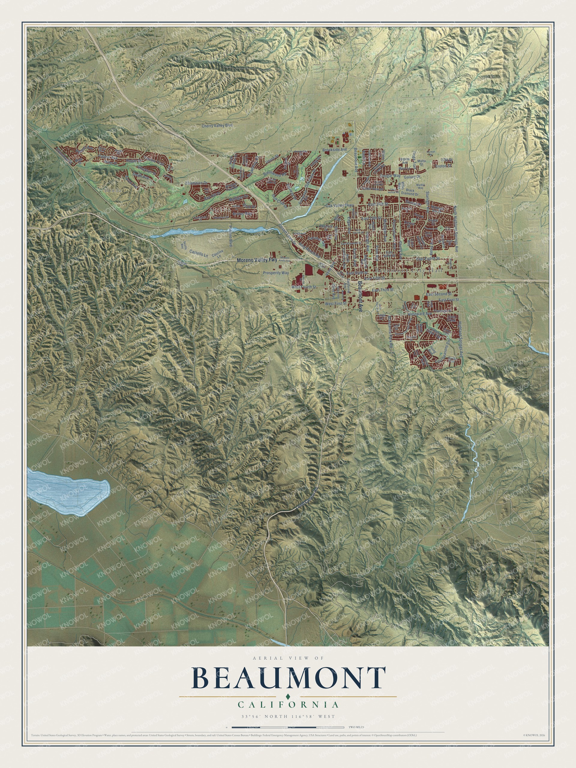
Beaumont, California Map Art
Building by building, with labeled streets and shaded relief.
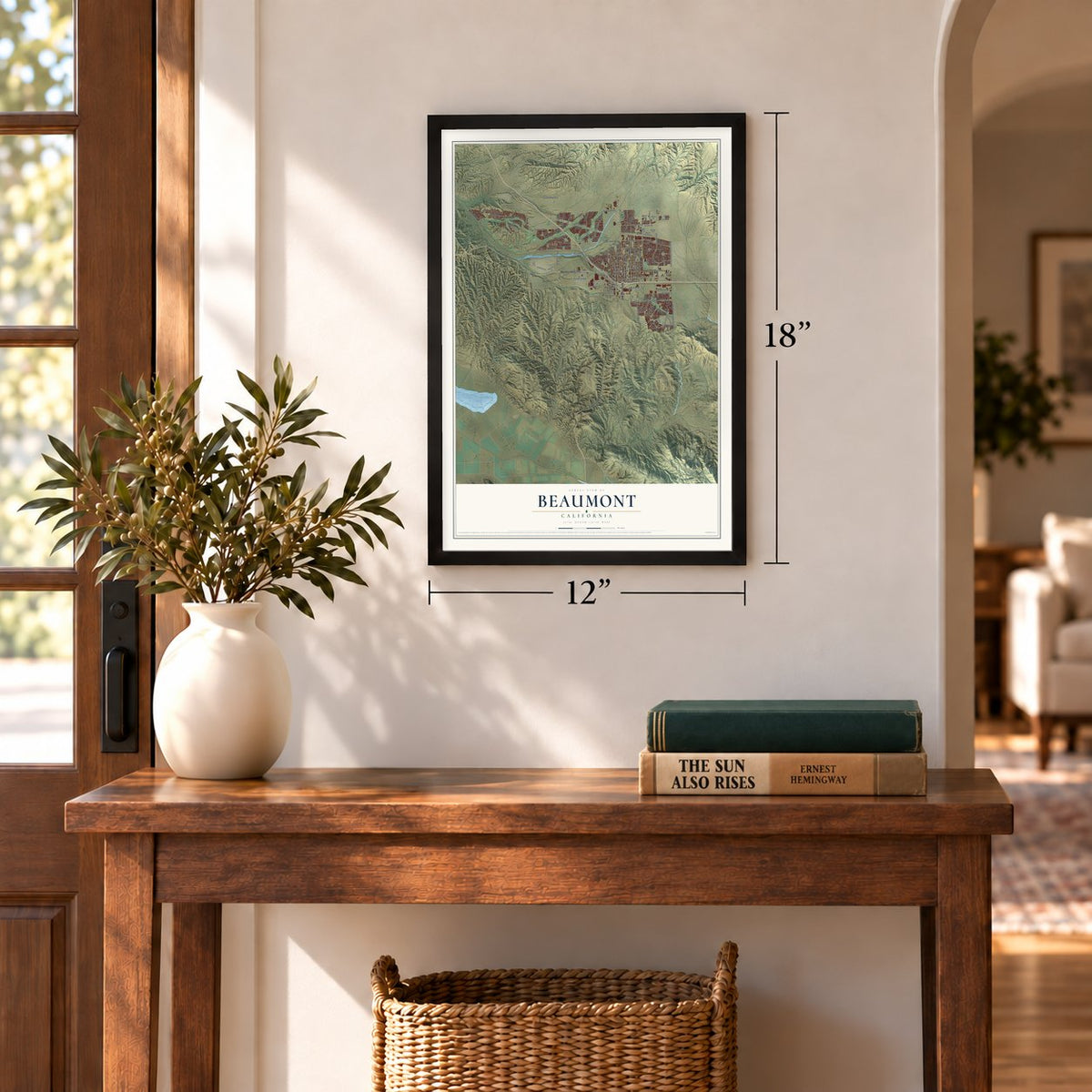
12" x 18" Archival Matte Print
A Map of Home. A Work of Art.
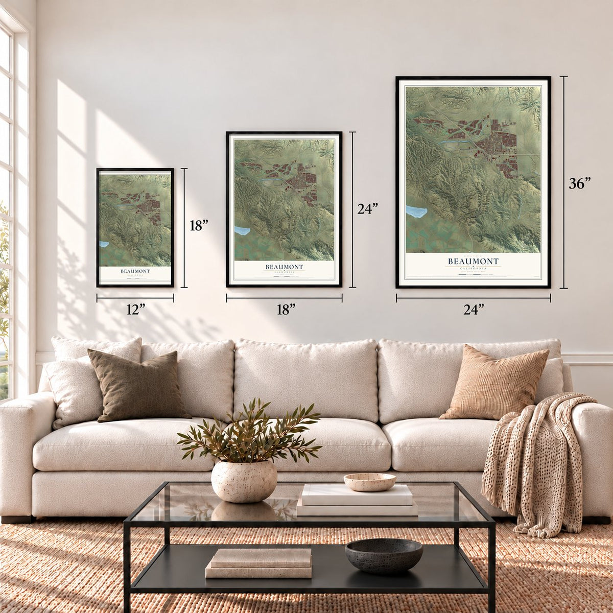
Explore Beaumont, California from a whole new perspective. Created using aerial imagery and detailed geographic data, this map captures Beaumont building by building, with labeled streets, familiar landmarks, and shaded topographical relief that highlights the natural contours of the landscape.
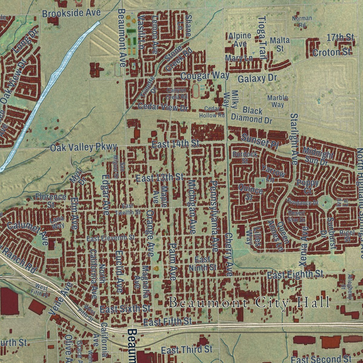
Combining modern data with the timeless character of a vintage atlas, this map is just as interesting up close as it is beautiful on the wall. Whether you grew up in Beaumont, spent memorable years there, or call it home today, this unique map is a great way to celebrate a place that means something to you. Zoom in on the preview to look for your street, and then order a print to put your memories on the wall.
Three ways to hang it
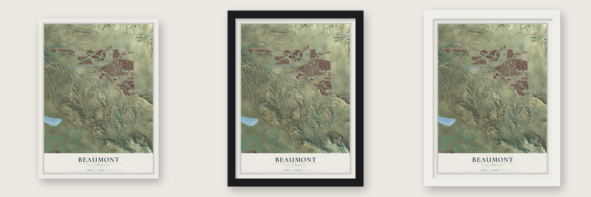
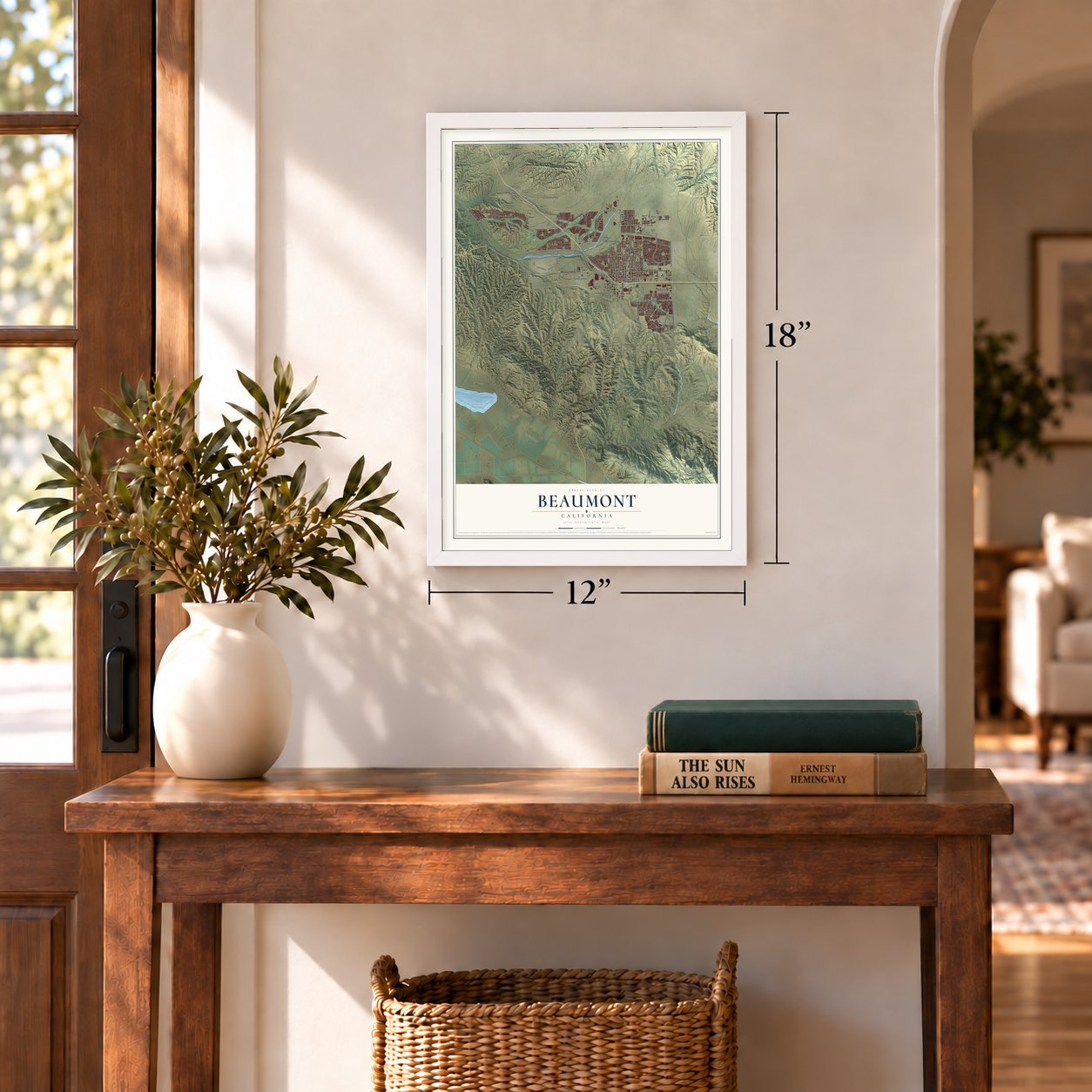
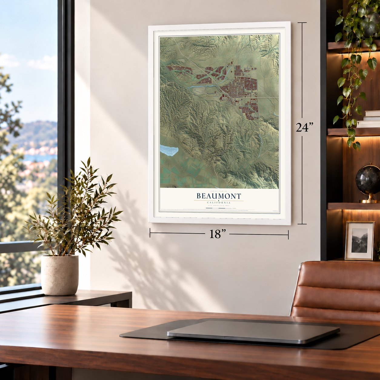
Unframed archival matte, a black wood frame or a white wood frame.
Up close
Geography Worth Displaying
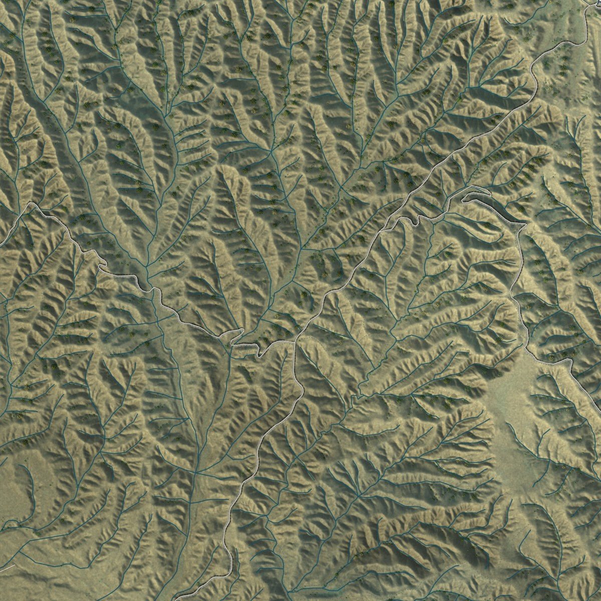
This map was created using accurate cartographic data and authoritative geographic sources, including the U.S. Geological Survey and the Census Bureau. The map brings together terrain, waterways, roads, and building detail. The majority of the streets are labeled, houses are accurately depicted, and the topography is derived from government sources. Combining local data with carefully composed color and shading leads to this beautifully detailed Beaumont artwork for your wall.
Rather than simply showing street outlines, we’ve included as many of the street names as we could reasonably fit on the map while keeping their names legible. Zoom in on the high resolution preview to see exactly what’s on the map. We truly set out to create a statement piece for anyone who loves Beaumont. So whether it’s for you, or a gift for someone you love, we hope this map of Beaumont brings back fond memories.
Read the story behind this map of Beaumont, California from 2026.
Find your street
Names on the Beaumont map
Every name below is printed on this map. Look for your street, your school, the park where you played, or the pond down the road.
Places and landmarks6
- Beaumont City Hall
- Hinda
- Nicklin
- Potrero Reserve
- Glacier Park
- Irvine Park
Streets and roads148
- Moreno Valley Fwy
- Beaumont Avenue
- Highland Springs Avenue
- Desert Lawn Drive
- North Highland Springs Avenue
- Four Seasons Circle
- Manzanita Park Road
- Oak Valley Parkway
- Brookside Avenue
- Starlight Avenue
- Cougar Way
- Cherry Avenue
- East First Street
- East Sixth Street
- East Eighth Street
- Palm Avenue
- Pennsylvania Avenue
- Castello Lane
- Michigan Avenue
- Edgar Avenue
- Elm Avenue
- West Fourth Street
- Cherry Valley Boulevard
- Palmer Avenue
- Orange Avenue
- Westward Avenue
- Euclid Avenue
- Champion Drive
- Oak View Drive
- Veile Avenue
Show all 148 streets
- Fairway Drive
- East 14th Street
- Potrero Boulevard
- Trevino Trail
- Olive Avenue
- East Third Street
- Xenia Avenue
- Bay Hill Drive
- East 13th Street
- Golf Club Drive
- East Fifth Street
- Brentwood Road
- Ring Ranch Road
- East Second Street
- Snowberry Road
- Venturi Avenue
- Smith Avenue
- 17th Street
- Prosperity Way
- Hogan Drive
- Vasili Lane
- Brutus Way
- Stockton Street
- Tioga Trail
- Sunset Place
- Crenshaw Street
- Mulligan Drive
- Calumet Avenue
- Galaxy Drive
- West First Street
- Divot Drive
- Aaron Avenue
- Croton Street
- Union Street
- Long Drive
- Lamb Canyon Road
- Quiet Creek
- Lilies Way
- Leaf Street
- Maple Avenue
- North California Avenue
- Magnolia Avenue
- East Ninth Street
- California Avenue
- Sunburst Drive
- Green Creek Trail
- Alpine Avenue
- Black Diamond Drive
- Midnight Sun Drive
- Flamingo Street
- Cedar View Drive
- North Deodar Drive
- Cascina Lane
- Evergreen Avenue
- Florence Street
- Lemon Avenue
- Mary Lane
- Stone Creek Road
- Queen Annes Lane
- Sarazen Street
- Miller Place
- Milky Way
- Yarrow Lane
- White Sands
- Winged Foot Road
- Quince Street
- Song Bird
- Bean Street
- Luna Avenue
- Myrl Drive
- Targa Lane
- Poppy Court
- Shane Lane
- Malta Street
- Lexi Lane
- Desert Poppy Lane
- East Eleventh Street
- Seneca Springs Parkway
- Sevilla Way
- Grace Avenue
- Boros Boulevard
- Albatross Street
- Annandale Road
- Stableford Court
- Stellar Peak
- Trinette Drive
- Hidden Oaks Drive
- Lana Way
- Hagen Heights
- Burdock Street
- Faircliff Street
- Marble Way
- Dewey Creek
- Rigel Street
- Par Lane
- Ivy Lane
- East Twelfth Street
- Western Knolls Avenue
- Gallery Lane
- Sundance Drive
- West Fifth Place
- Windbound Avenue
- Walnut Street
- South Monte Verde Drive
- San Miguel Drive
- Woodlands Road
- Michelle Lane
- Berkshire Avenue
- Nicholas Road
- Allegheny Street
- South Palm Avenue
- Cedar Hollow Road
- Canyon Crest Road
- West Fifth Street
- Frontage Road
- Desert Star Drive
- Norman Road
- Helen Avenue
Names are listed as they appear on the printed map. Zoom into the product photos to find them.
About Beaumont, California
Beaumont is a city of 53,036 people in Riverside County, at the top of the San Gorgonio Pass. Lieutenant R.S. Williamson led a federal survey of the pass in 1853, and his work showed that a railroad to the Pacific could run through it. By the early 1860s stagecoaches were crossing the pass. They stopped at Edgar Station, named for a doctor from one of the survey parties who settled nearby.
The Southern Pacific laid its tracks here in 1875 and opened Summit Station, where travelers coming from the Mojave Desert rested on their way to Los Angeles. A land company started a town called San Gorgonio in 1884. A second company bought it in 1887, and its president, Henry C. Sigler, renamed it Beaumont, French for "beautiful mountain," because San Jacinto Peak can be seen from town. Beaumont became a city on November 18, 1912.
- Land of the big red appleIn its early years Beaumont was one of the top apple growers in Riverside County, and residents called it "the land of the big red apple." The orchards around town had grown into a $200,000 industry by 1930. By 1927 the city had 857 people, along with a bank, a high school, a public library, five churches and two newspapers.
- A Catholic church in 1909Beaumont's Catholics put up a solid church on Palm Avenue in 1909. Father Hahn of Banning directed the work, and Father Golden became the first priest to lead the new parish.
- Guest ranches for Palm Springs crowdsPalm Springs became a popular resort in the 1930s, and Beaumont drew more visitors and residents as a result. The town opened guest ranches to catch the new tourist trade. The Highland Springs Guest Ranch offered horseback riding, tennis, archery, swimming, ballroom dancing and massages, along with rooms for its guests.
- 100 years of cherriesBeaumont's Annual Cherry Festival marked its 100th anniversary with a celebration that ran from May 31 to June 3, 2018.
- An astronaut and Gorgeous GeorgeNASA astronaut Tracy Caldwell Dyson graduated from Beaumont High School in 1987. George Wagner, the pro wrestler known as "Gorgeous George," kept a 195-acre turkey ranch in Beaumont from the late 1950s into the early 1960s.
Keep exploring California
Beaumont is one of 1,990 California towns we've mapped. Every dot on the map is a print of its own.
The search covers every state, California first.
Near Beaumont
Order 2 or more town maps and save 10%. Shown in the size and finish you picked above, so they hang as a set.
- Banning 12" x 18" / Archival Matte Print $39.99
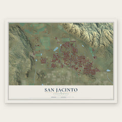
- San Jacinto 12" x 18" / Archival Matte Print $39.99
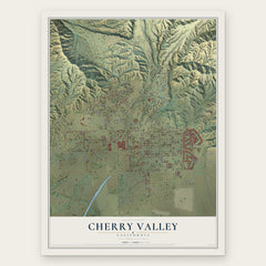
- Cherry Valley 12" x 18" / Archival Matte Print $39.99
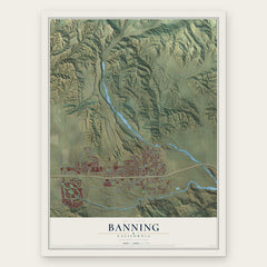
More maps nearby: Calimesa, Valle Vista, Cabazon, East Hemet and Hemet.
The art of mapping a place
How This Map Was Made
Real places. Remarkable detail. Discover the layers that turn geographic data into a map of home.

The view from above
Aerial imagery reveals the character of the land: woodland, open fields, and the patterns of a place.

The shape of the land
Elevation data brings hills, valleys, and subtle changes in the landscape into view.

The details of home
Roads, waterways, and building footprints come together to make the map feel unmistakably local.

Geography becomes art
Considered color, shading, and typography bring the layers together in a map made for your wall.


Process illustrated with Mendon, Massachusetts. Aerial imagery: USDA NAIP. Terrain: USGS 3D Elevation Program. Map details and finished artwork: KNOWOL.
The Details
About This Print
Choose an archival matte print, or a black or white Ayous wood frame. The archival matte print is unframed.
Select your size and finish above to see the matching product image and price.
Materials & Craftsmanship
A contemporary map with the character of a classic atlas, printed on archival matte paper. Optional frames are made from Ayous wood.
Your printed map does not include the watermark shown in the full-map preview.
Shipping & Delivery
Free shipping within the United States. Every print is made to order in the USA.
Buying a gift? Add a note in your cart and we'll include it. We never put prices in the package.
Prints ship within 2 to 3 business days. Allow 7 to 10 days total from ordering for delivery. Timing may vary during holidays or periods of high order volume.
Read our shipping policy.
Returns and damaged prints
Each print is made to order. Change-of-mind refunds are not available after production.
If your print arrives damaged, misprinted or incorrect, contact support@knowol.com within 30 days of receiving it. Include your order number, photos and a description of the issue.
Read our full refund and replacement policy. For questions about your order, email support@knowol.com.