
Search for another town



Free U.S. delivery 7 to 10 days after you order
Valle Vista, California Map Art
Building by building, with labeled streets and shaded relief.
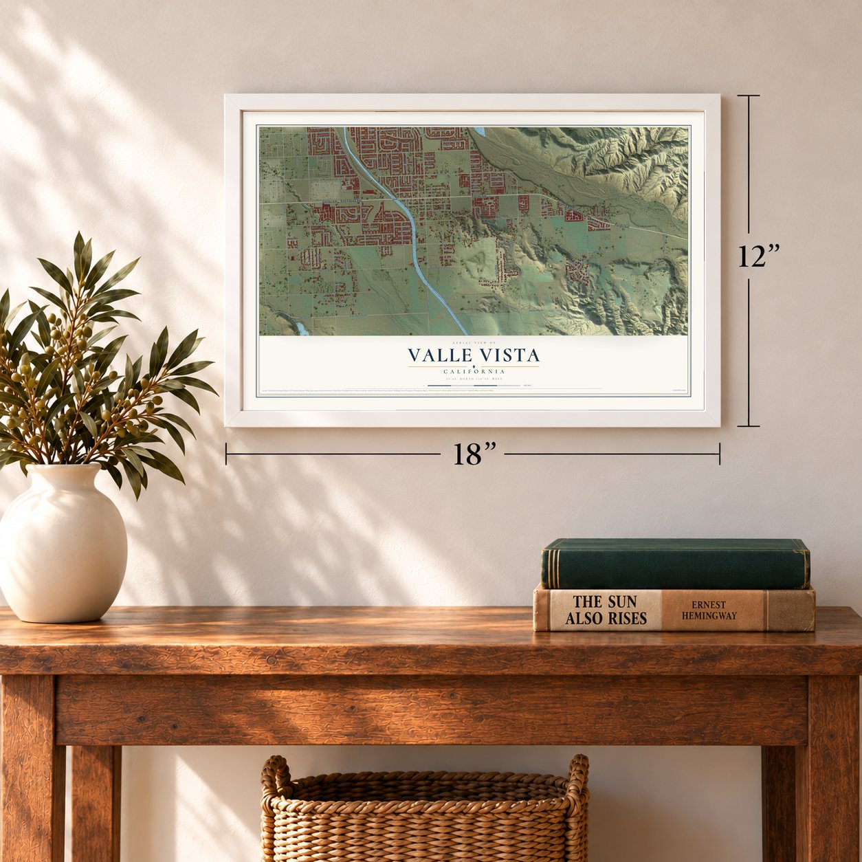
12" x 18" Archival Matte Print
A Map of Home. A Work of Art.
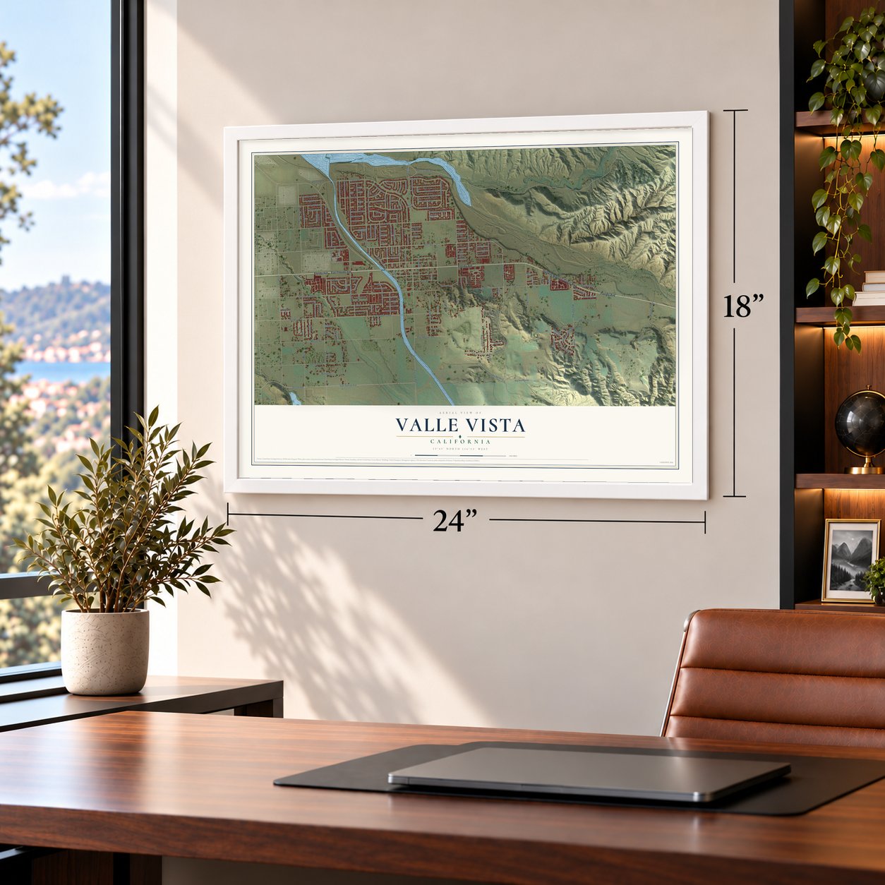
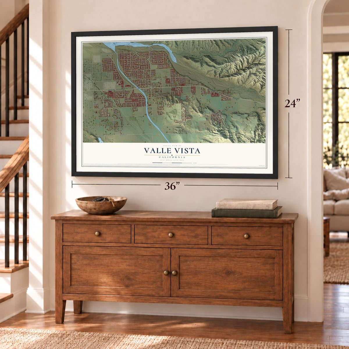
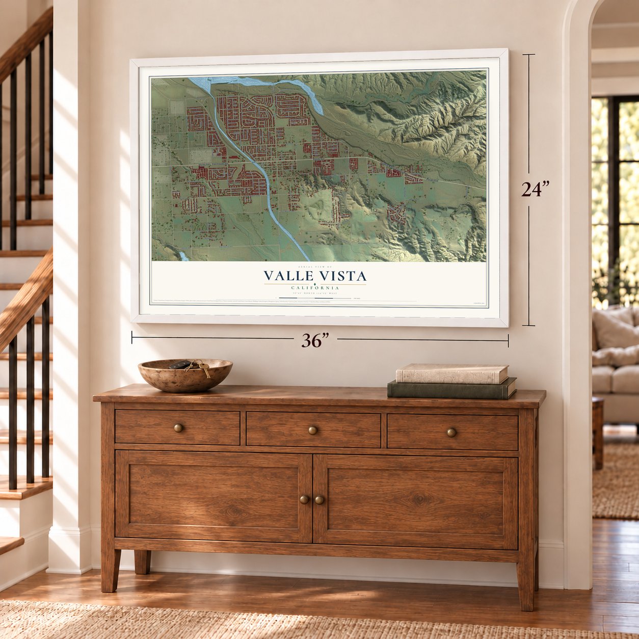
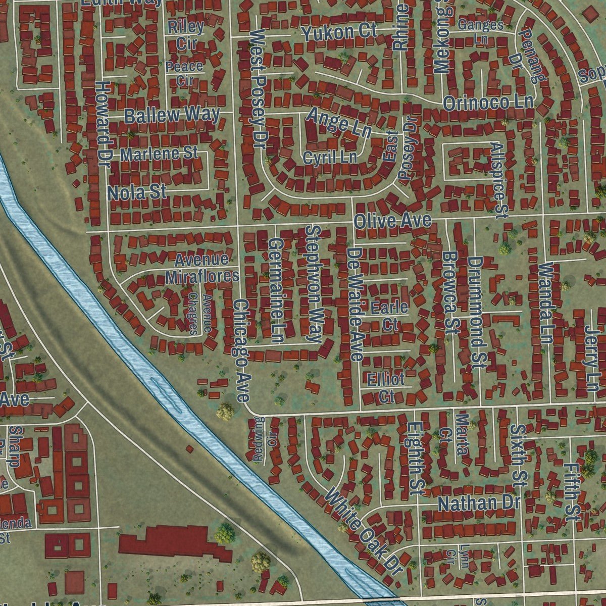
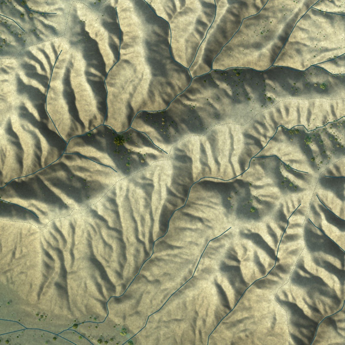
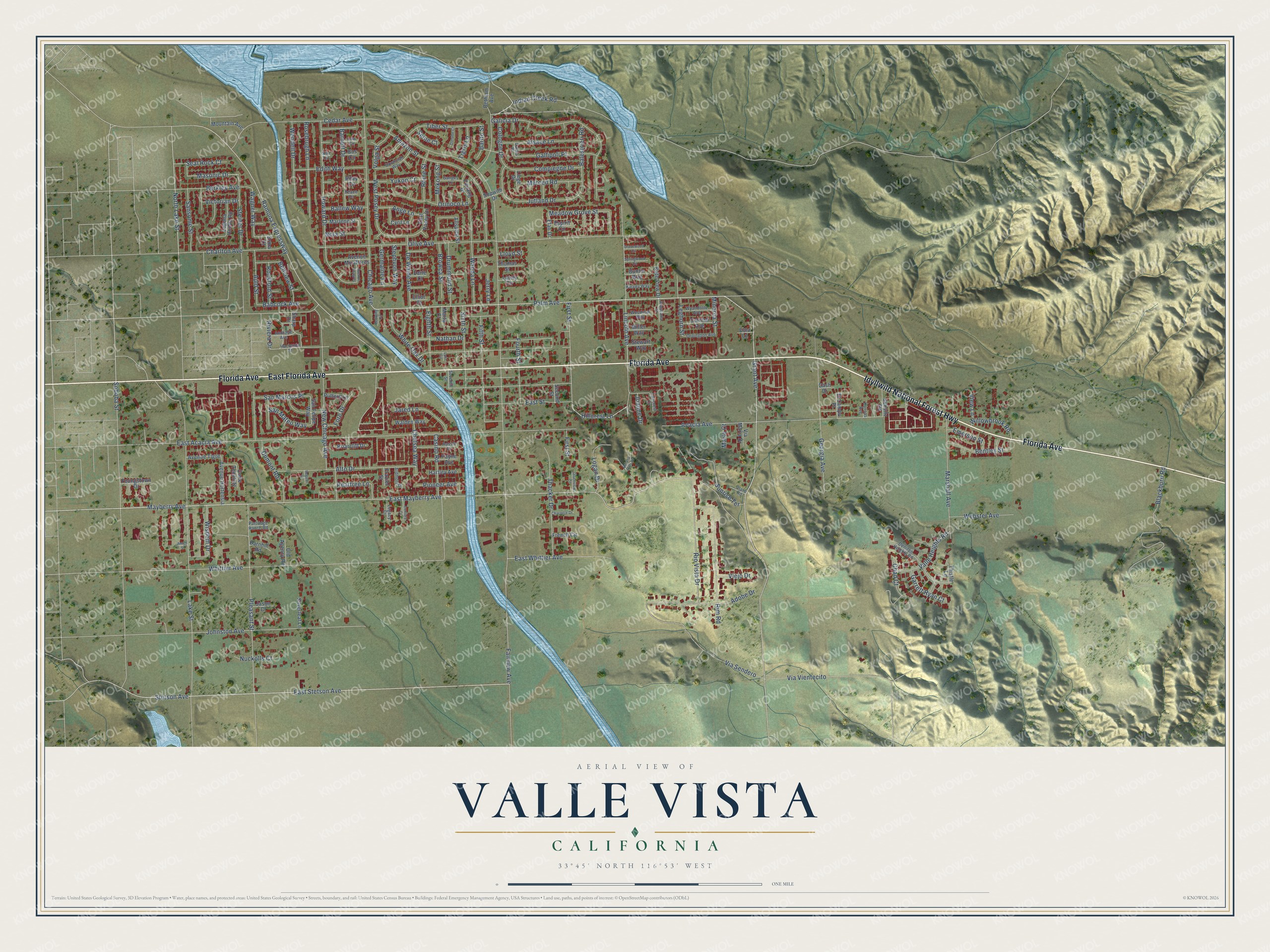
Explore Valle Vista, California from a whole new perspective. Created using aerial imagery and detailed geographic data, this map captures Valle Vista building by building, with labeled streets, familiar landmarks, and shaded topographical relief that highlights the natural contours of the landscape.
Combining modern data with the timeless character of a vintage atlas, this map is just as interesting up close as it is beautiful on the wall. Whether you grew up in Valle Vista, spent memorable years there, or call it home today, this unique map is a great way to celebrate a place that means something to you. Zoom in on the preview to look for your street, and then order a print to put your memories on the wall.
Three ways to hang it
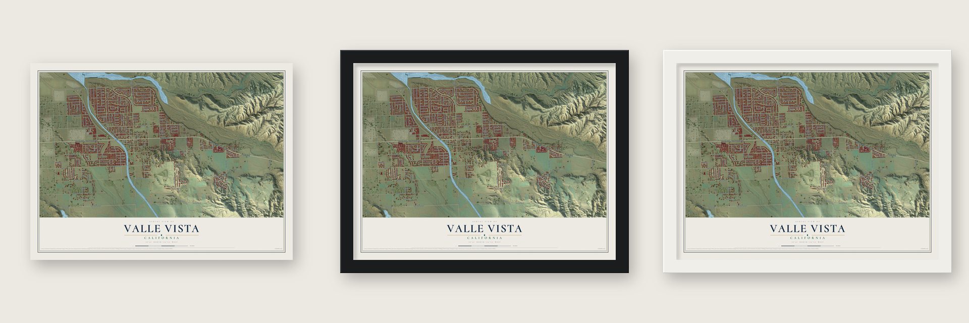
Unframed archival matte, a black wood frame or a white wood frame.
Up close
Geography Worth Displaying
This map was created using accurate cartographic data and authoritative geographic sources, including the U.S. Geological Survey and the Census Bureau. The map brings together terrain, waterways, roads, and building detail. The majority of the streets are labeled, houses are accurately depicted, and the topography is derived from government sources. Combining local data with carefully composed color and shading leads to this beautifully detailed Valle Vista artwork for your wall.
Rather than simply showing street outlines, we’ve included as many of the street names as we could reasonably fit on the map while keeping their names legible. Zoom in on the high resolution preview to see exactly what’s on the map. We truly set out to create a statement piece for anyone who loves Valle Vista. So whether it’s for you, or a gift for someone you love, we hope this map of Valle Vista brings back fond memories.
Read the story behind this map of Valle Vista, California from 2026.

Find your street
Names on the Valle Vista map
Every name below is printed on this map. Look for your street, your school, the park where you played, or the pond down the road.
Streets and roads204
- Florida Avenue
- Idyllwild National Forest Highway
- East Florida Avenue
- Grant Avenue
- Palm Avenue
- Hillcrest Lane
- East Mayberry Avenue
- Ramona Expressway
- East Stetson Avenue
- Masonic Drive
- Wagner Way
- Stetson Avenue
- Mayberry Avenue
- Fairview Avenue
- Lake Street
- Whittier Avenue
- East Acacia Avenue
- Acacia Avenue
- Olive Avenue
- Soboba Street
- Lincoln Avenue
- Via Vientecito
- Johnston Avenue
- Pleasant Street
- Chicago Avenue
- Blackburn Road
- Howard Drive
- Galicia Drive
- New Chicago Avenue
- Cedar Avenue
Show all 204 streets
- Amazon Street
- Alto Drive
- Rim Road
- Georgia Avenue
- Rio Vista Drive
- Marshall Avenue
- Adobe Drive
- Thacker Drive
- Jutland Drive
- Charlton Avenue
- Fifth Street
- First Street
- Rosebrugh Lane
- Wanda Lane
- North Lake Street
- Wendell Drive
- East Street
- Valle Heights Road
- West Posey Drive
- Meadow Grove Street
- Sunrise Terrace
- East Whittier Avenue
- Gallipoli Place
- Sixth Street
- Alsace Lane
- Barnett Drive
- Berkley Avenue
- Tiber Street
- Compiegne Drive
- Steiner Drive
- Orinoco Lane
- Edith Way
- De Waide Avenue
- Balestrieri Road
- Chelsea Way
- Wisdom Drive
- Fourth Street
- Dumont Road
- Merced Road
- Bentley Street
- White Oak Drive
- Webster Avenue
- Jared Lane
- Sansome Street
- Drummond Street
- Eighth Street
- Logan Drive
- Casino Road
- Jerry Lane
- Peartree Lane
- San Marcos Place
- Nathan Drive
- Browca Street
- Auld Street
- Seal Rock Court
- Willowbrook Road
- Via Sendero
- Rhine Street
- Babcock Avenue
- Pioneer Avenue
- Volga Street
- Ange Lane
- Garrett Ryan Court
- Emerson Street
- San Mateo Way
- Fore Drive
- Nola Street
- Cologne Drive
- Nuckolls Court
- Indian Creek Road
- Bellview Street
- Ballew Way
- Rockford Street
- Mekong Street
- Germaine Lane
- Stephvon Way
- Chad Court
- Leghorn Street
- Victorian Drive
- Minorca Street
- Viejo Drive
- Tigris Lane
- Barito Street
- Yukon Court
- Joanne Drive
- Riviera Drive
- View Lane
- Seine Court
- Lloyd Street
- Marlo Court
- San Felipe Way
- Bethlam Avenue
- Avenue Hortensia
- Allspice Street
- Avenue Miraflores
- East Posey Drive
- Avenue Tigre
- Laguna Honda Road
- Mountain Avenue
- Marlene Street
- Penang Drive
- Cornish Avenue
- Brite View Drive
- Briarcliff Drive
- Schultz Road
- Youngstown Drive
- Walden Way
- Silverleaf Lane
- Payne Avenue
- Hartley Avenue
- Cyril Lane
- Sharp Drive
- Putters Lane
- Old Agency Road
- French Circle
- Thomas Street
- Elan Drive
- El Campo Place
- Miller Way
- Stewart Way
- Buntin Way
- Via Maria Drive
- Barnhill Road
- Corte Tecolote
- Jason Court
- Lately Circle
- Espirit Circle
- Sopwith Drive
- Thistle Lane
- Marta Court
- Liege Drive
- Second Street
- Frazier Street
- Elliot Court
- Earle Court
- Elna Lane
- Cash Drive
- Bos Circle
- Riley Circle
- Erma Court
- Denizen Heights Road
- Hacienda Street
- Savannah Way
- Rassle Drive
- Wyandotte Avenue
- Orpington Avenue
- Andrade Avenue
- Ganges Lane
- Woodrow Way
- Ardmore Drive
- Harvey Way
- Araucana Street
- Legacy Court
- Partridge Ranch Road
- Faircrest Circle
- Seventh Street
- Claro Road
- Kansas Avenue
- Low Circle
- Calais Place
- Peace Circle
- Nita Circle
- Springwood Circle
- Grovewood Circle
- Charlotte Drive
- Avenue Chagres
- Century Court
- Olsenview Court
- Danube Court
- Roland Hills Drive
- Redwing Circle
- Regent Court
- Amen Street
- Lynn Circle
Names are listed as they appear on the printed map. Zoom into the product photos to find them.
About Valle Vista, California
Valle Vista is a community of 16,194 people in Riverside County, in the Inland Empire. It sits in the San Jacinto Valley, on the east side of the cities of San Jacinto and Hemet. A village already stood here at the head of the valley by 1912, when the county's history praised it above most towns in the state. Valle Vista has never become a city, and its children attend the Hemet Unified School District.
“Valle Vista, situated at the head of the San Jacinto valley, is one of the prettiest villages in all California. The tree-bordered streets of the place form many delightfully shady drives that give Valle Vista a distinctiveness peculiar to itself.”
- Spanish for View ValleyThe name Valle Vista comes from Spanish and means "View Valley." It fits a place at the head of the San Jacinto Valley, with Hemet and San Jacinto spread out to the west.
- A park for a fallen deputyDeputy Brett M. Harris Park, a county park at 25175 Fairview Ave, honors a Riverside County Sheriff's deputy who served this community. Harris was killed in a traffic crash while on duty.
- From 11,036 to 16,194The census counted 11,036 people in Valle Vista in 2010. Ten years later, in 2020, the count had grown to 16,194.
- 115 degrees in 2004The hottest day on record here reached 115 °F in 2004, and the coldest dropped to 9 °F in 1974. August is usually the warmest month, December the coolest, and February brings the most rain.
Keep exploring California
Valle Vista is one of 1,960 California towns we've mapped. Every dot on the map is a print of its own.
The search covers every state, California first.
Near Valle Vista
Order 2 or more town maps and save 10%. Shown in the size and finish you picked above, so they hang as a set.
- East Hemet 12" x 18" / Archival Matte Print $39.99
- Hemet 12" x 18" / Archival Matte Print $39.99
- San Jacinto 12" x 18" / Archival Matte Print $39.99


More maps nearby: Idyllwild-Pine Cove, Mountain Center, Beaumont, Sage and Green Acres.
The art of mapping a place
How This Map Was Made
Real places. Remarkable detail. Discover the layers that turn geographic data into a map of home.

The view from above
Aerial imagery reveals the character of the land: woodland, open fields, and the patterns of a place.

The shape of the land
Elevation data brings hills, valleys, and subtle changes in the landscape into view.

The details of home
Roads, waterways, and building footprints come together to make the map feel unmistakably local.

Geography becomes art
Considered color, shading, and typography bring the layers together in a map made for your wall.


Process illustrated with Mendon, Massachusetts. Aerial imagery: USDA NAIP. Terrain: USGS 3D Elevation Program. Map details and finished artwork: KNOWOL.
The Details
About This Print
Choose an archival matte print, or a black or white Ayous wood frame. The archival matte print is unframed.
Select your size and finish above to see the matching product image and price.
Materials & Craftsmanship
A contemporary map with the character of a classic atlas, printed on archival matte paper. Optional frames are made from Ayous wood.
Your printed map does not include the watermark shown in the full-map preview.
Shipping & Delivery
Free shipping within the United States. Every print is made to order in the USA.
Buying a gift? Add a note in your cart and we'll include it. We never put prices in the package.
Prints ship within 2 to 3 business days. Allow 7 to 10 days total from ordering for delivery. Timing may vary during holidays or periods of high order volume.
Read our shipping policy.
Returns and damaged prints
Each print is made to order. Change-of-mind refunds are not available after production.
If your print arrives damaged, misprinted or incorrect, contact support@knowol.com within 30 days of receiving it. Include your order number, photos and a description of the issue.
Read our full refund and replacement policy. For questions about your order, email support@knowol.com.