
Search for another town

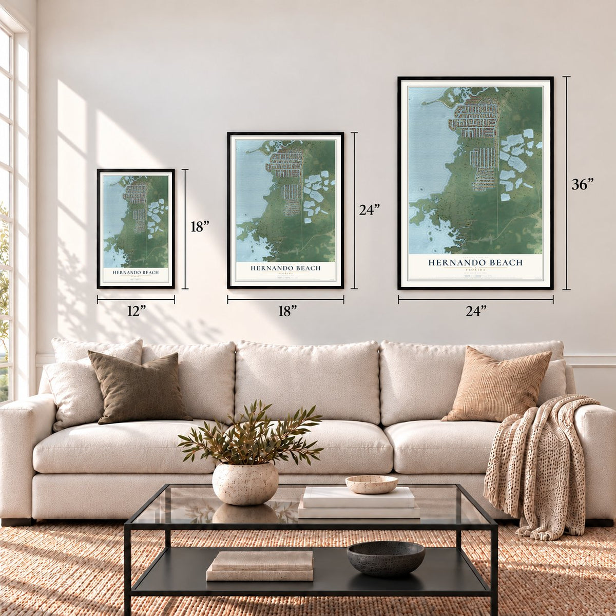

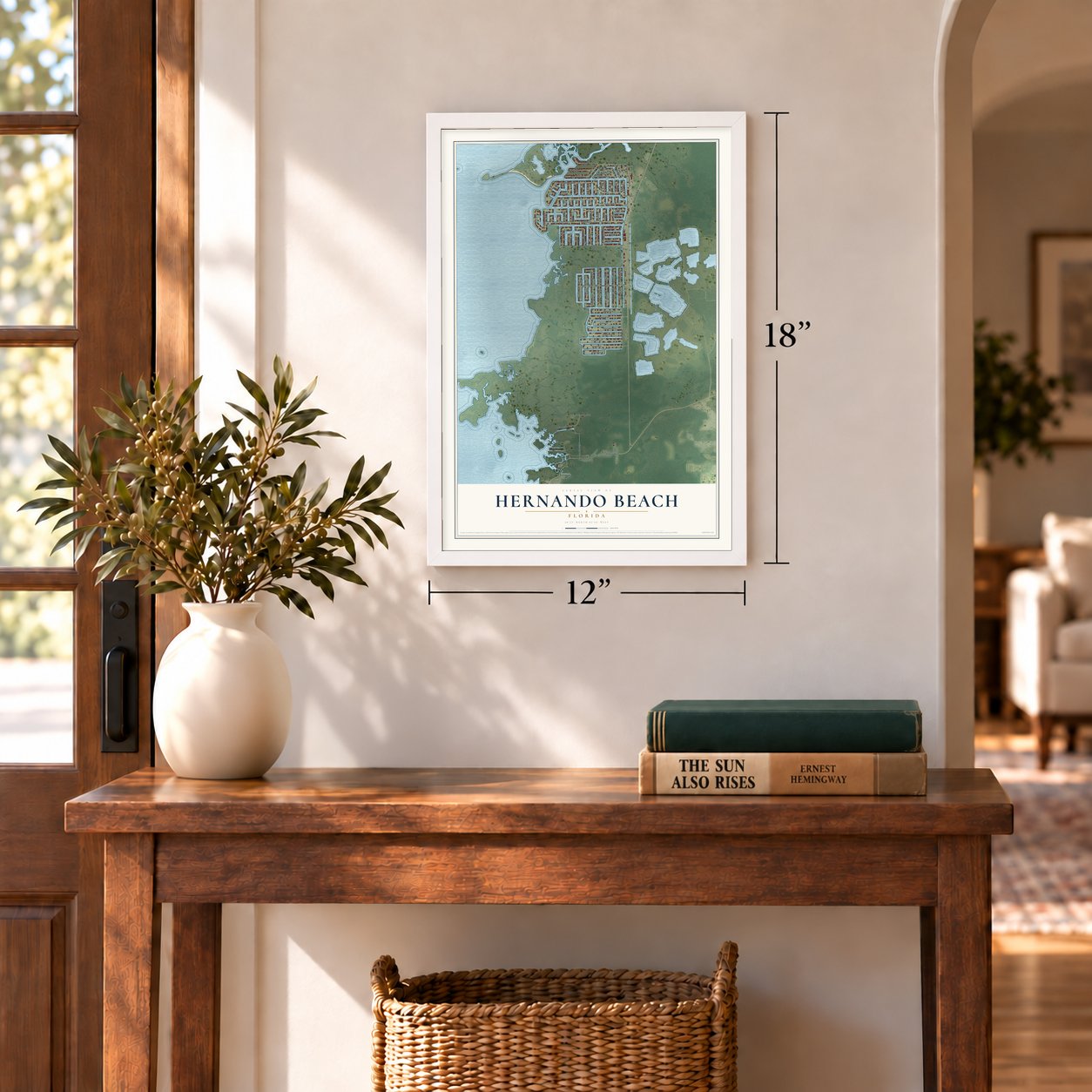

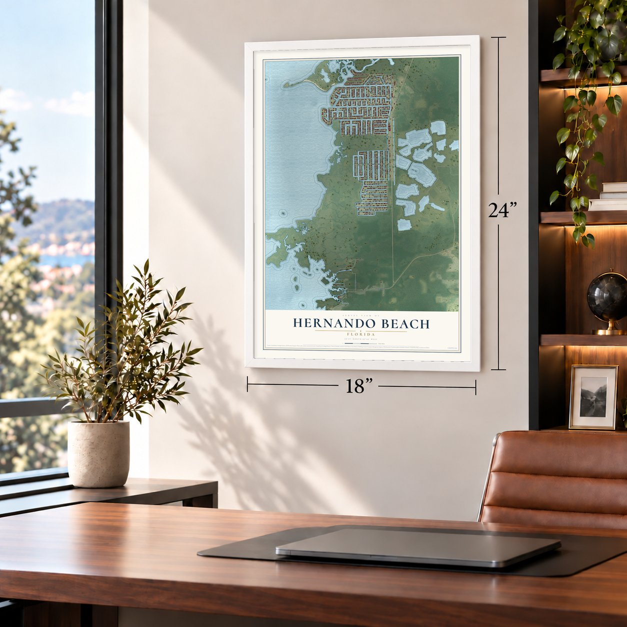

Free U.S. delivery 7 to 10 days after you order
Hernando Beach, Florida Map Art
Building by building, with labeled streets and shaded relief.
12" x 18" Archival Matte Print
A Map of Home. A Work of Art.
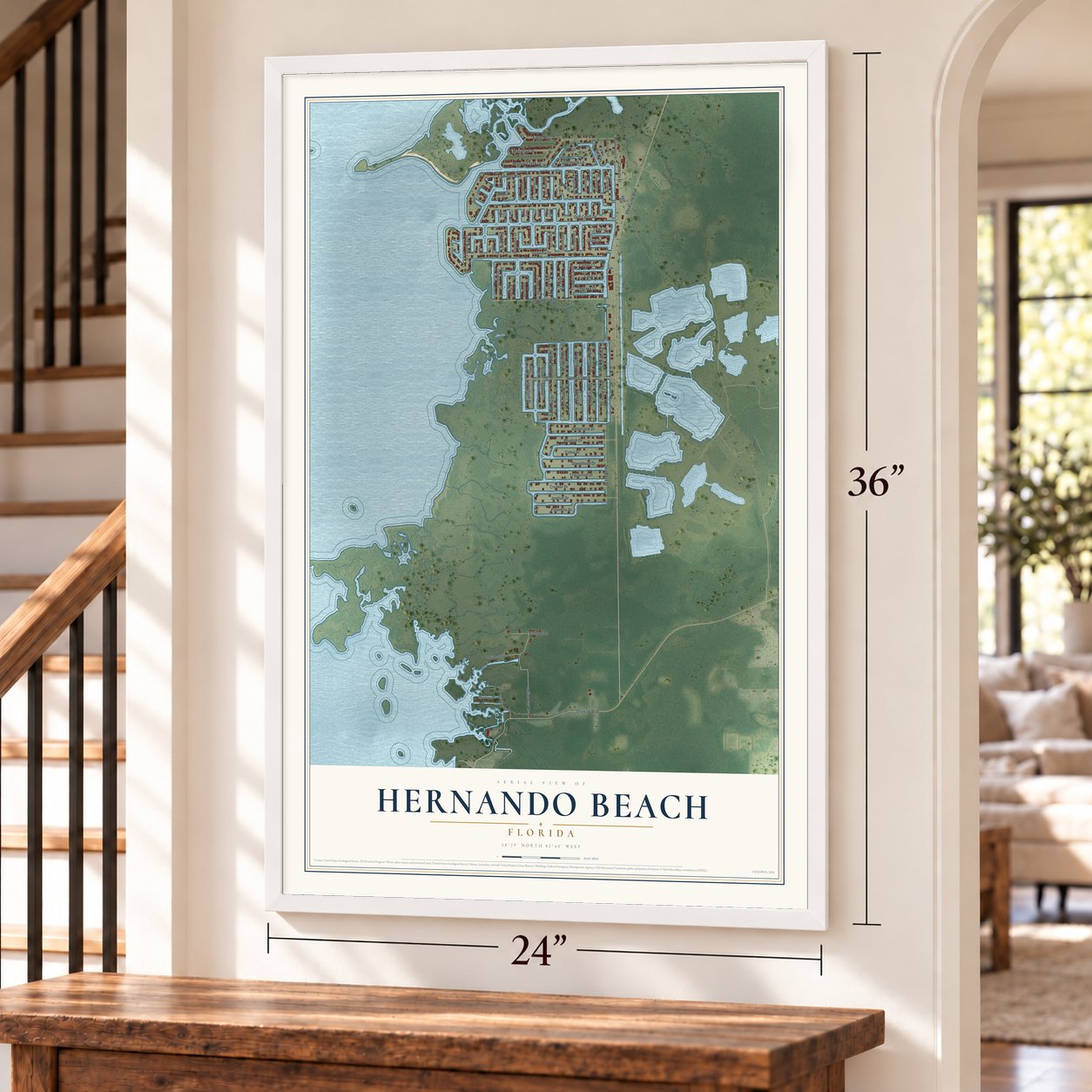
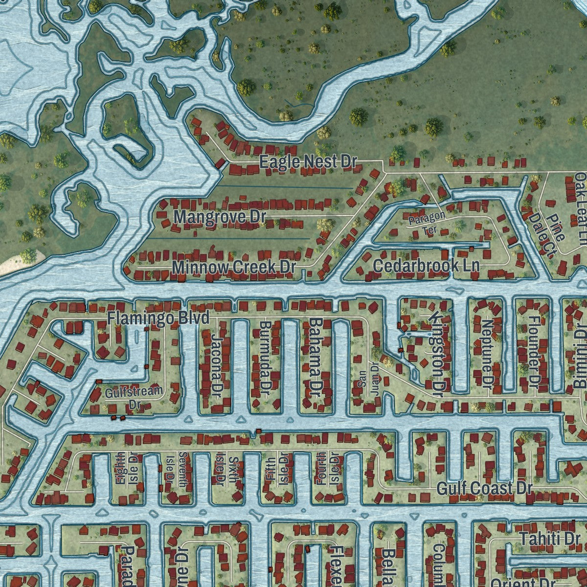
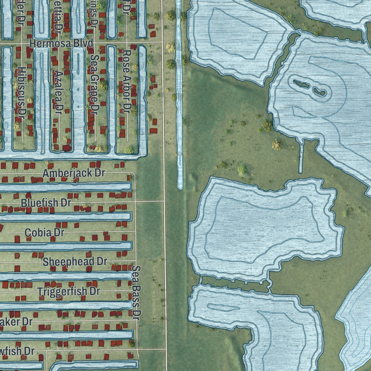
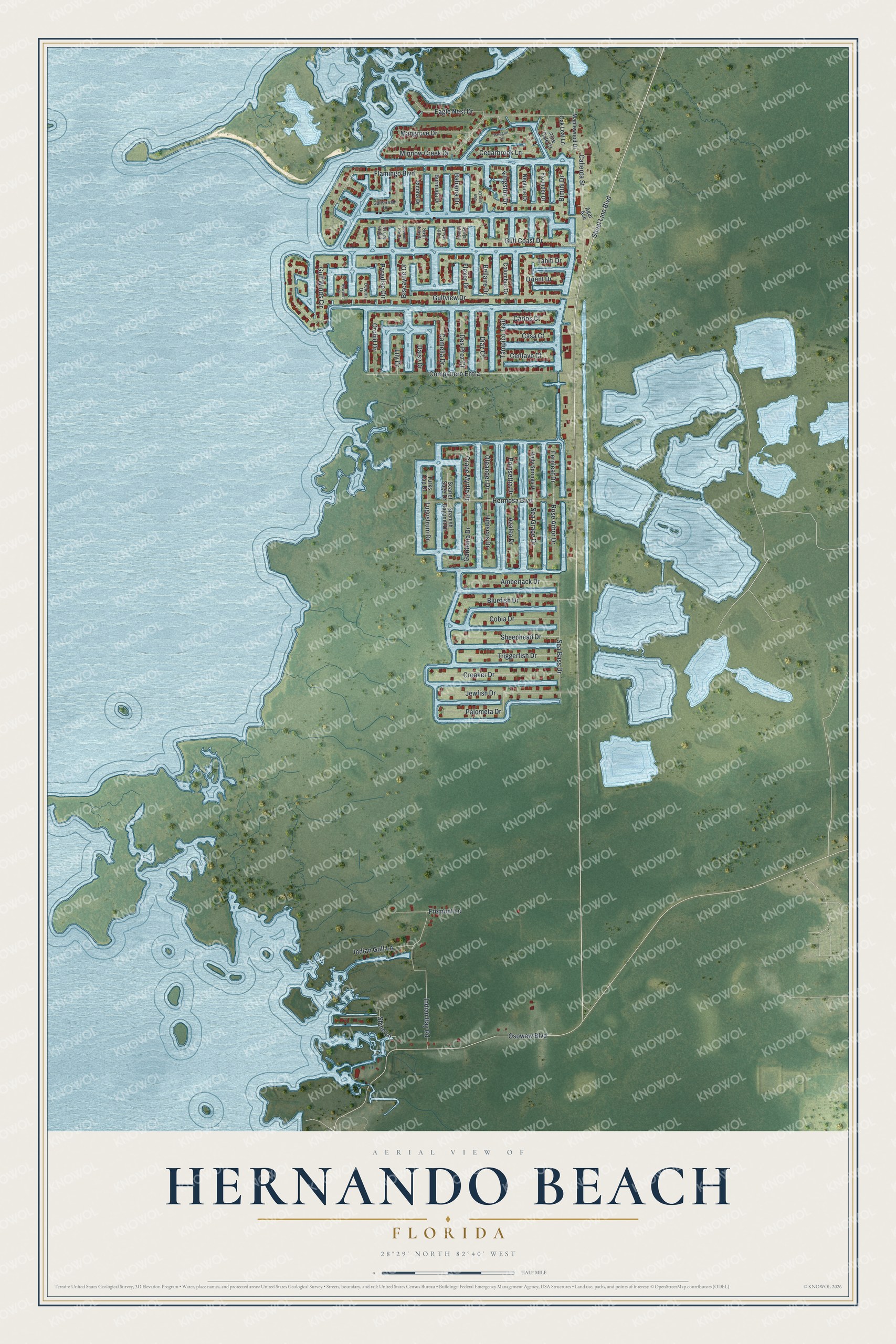
Explore Hernando Beach, Florida from a whole new perspective. Created using aerial imagery and detailed geographic data, this map captures Hernando Beach building by building, with labeled streets, familiar landmarks, and shaded topographical relief that highlights the natural contours of the landscape.
Combining modern data with the timeless character of a vintage atlas, this map is just as interesting up close as it is beautiful on the wall. Whether you grew up in Hernando Beach, spent memorable years there, or call it home today, this unique map is a great way to celebrate a place that means something to you. Zoom in on the preview to look for your street, and then order a print to put your memories on the wall.
Three ways to hang it
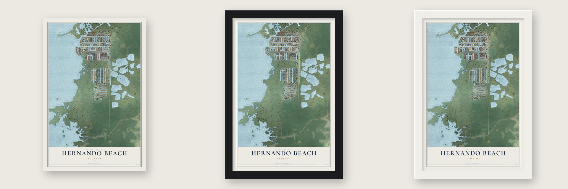
Unframed archival matte, a black wood frame or a white wood frame.
Up close
Geography Worth Displaying
This map was created using accurate cartographic data and authoritative geographic sources, including the U.S. Geological Survey and the Census Bureau. The map brings together terrain, waterways, roads, and building detail. The majority of the streets are labeled, houses are accurately depicted, and the topography is derived from government sources. Combining local data with carefully composed color and shading leads to this beautifully detailed Hernando Beach artwork for your wall.
Rather than simply showing street outlines, we’ve included as many of the street names as we could reasonably fit on the map while keeping their names legible. Zoom in on the high resolution preview to see exactly what’s on the map. We truly set out to create a statement piece for anyone who loves Hernando Beach. So whether it’s for you, or a gift for someone you love, we hope this map of Hernando Beach brings back fond memories.
Read the story behind this map of Hernando Beach, Florida from 2026.

Find your street
Names on the Hernando Beach map
Every name below is printed on this map. Look for your street, your school, the park where you played, or the pond down the road.
Streets and roads78
- Shoal Line Boulevard
- Flamingo Boulevard
- Gulf Coast Drive
- Gulfview Drive
- Osowaw Boulevard
- Companero Entra
- Eagle Nest Drive
- Gulf Winds Circle
- Indian Bay Road
- Hermosa Boulevard
- Jewfish Drive
- Bluefish Drive
- Croaker Drive
- Calienta Street
- Minnow Creek Drive
- Cedarbrook Lane
- Sea Bass Drive
- Sheephead Drive
- Triggerfish Drive
- Amberjack Drive
- Shine Lane
- Cobia Drive
- Gardenia Drive
- Palometa Drive
- Orchid Drive
- Camelia Drive
- Mangrove Drive
- Tahiti Drive
- Biscayne Drive
- Flexer Drive
Show all 78 streets
- Crape Myrtle Drive
- Fremont Lane
- Rose Arbor Drive
- Sea Grape Drive
- Azalea Drive
- Hibiscus Drive
- Indian Gulf Lane
- Tampico Trail
- Paradise Circle
- Diaz Court
- Des Prez Court
- Fernleaf Drive
- Poinsettia Drive
- Oleander Drive
- Carlos Court
- Casa Court
- Centavo Court
- Lugustrum Drive
- Kingston Drive
- Bellaire Drive
- Bimini Drive
- Orient Drive
- Bahama Drive
- Daisy Drive
- Lily Drive
- Pine Dale Court
- Holly Springs Drive
- Spanish Bayonet Drive
- Maplewood Drive
- Columbus Drive
- Jacona Drive
- Neptune Drive
- Flounder Drive
- Burmuda Drive
- Agar Avenue
- Oak Leaf Lane
- Scarlet Sage Drive
- Turks Cap Drive
- Gulfstream Drive
- Deleon Drive
- Fourth Isle Drive
- Eighth Isle Drive
- Fifth Isle Drive
- Sixth Isle Drive
- Paragon Terrace
- Newport Drive
- Seventh Isle Drive
- San Juan Drive
Names are listed as they appear on the printed map. Zoom into the product photos to find them.
About Hernando Beach, Florida
Hernando Beach is a community of 2,452 people in Hernando County, on the Gulf of Mexico northwest of Tampa. For thousands of years the ground here was wetland, and it stayed that way until Charlie Sasser bought it in 1959.
Sasser was a University of Florida graduate who had become a lawyer and land developer. Between 1959 and 1965 he dredged the marsh and built it up with earth from coastal mining operations, and the result was the North Section, whose deep, wide canals run straight out to the Gulf.
- Wetland rules in 1971Sasser went on to start the Center and South sections in the 1960s and early 1970s. In 1971, new limits on building in wetlands stopped any further expansion. Sasser took the state and the Hernando County Commission to a legal fight over it, and the outcome left the rest of the land in its natural state.
- Helene's 8-foot surgeOn September 26, 2024, Hurricane Helene stayed about 90 miles out in the Gulf, but the winds near its center topped 120 mph. County officials ordered everyone west of US 19 to evacuate. The storm surge reached an estimated 8 feet in Hernando Beach, flooding homes and wrecking docks and boats, and many one-story houses lost everything.
- Patrols from Shoal Line BoulevardThe Hernando County Sheriff's Office bases its Marine Unit on Shoal Line Boulevard. Flotilla 8 of the U.S. Coast Guard Auxiliary's Division 15 is on the same road, and it handles the auxiliary's work on the water for the whole county, along with public outreach.
Keep exploring Florida
Hernando Beach is one of 1,067 Florida towns we've mapped. Every dot on the map is a print of its own.
The search covers every state, Florida first.
Near Hernando Beach
Order 2 or more town maps and save 10%. Shown in the size and finish you picked above, so they hang as a set.
- Aripeka 12" x 18" / Archival Matte Print $39.99
- Heritage Pines 12" x 18" / Archival Matte Print $39.99
- Timber Pines 12" x 18" / Archival Matte Print $39.99
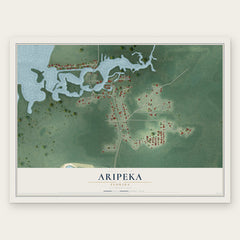
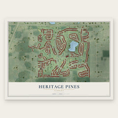
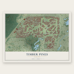
More maps nearby: Bayport, Weeki Wachee Gardens, Pine Island, Hudson and Spring Hill.
The art of mapping a place
How This Map Was Made
Real places. Remarkable detail. Discover the layers that turn geographic data into a map of home.

The view from above
Aerial imagery reveals the character of the land: woodland, open fields, and the patterns of a place.

The shape of the land
Elevation data brings hills, valleys, and subtle changes in the landscape into view.

The details of home
Roads, waterways, and building footprints come together to make the map feel unmistakably local.

Geography becomes art
Considered color, shading, and typography bring the layers together in a map made for your wall.


Process illustrated with Mendon, Massachusetts. Aerial imagery: USDA NAIP. Terrain: USGS 3D Elevation Program. Map details and finished artwork: KNOWOL.
The Details
About This Print
Choose an archival matte print, or a black or white Ayous wood frame. The archival matte print is unframed.
Select your size and finish above to see the matching product image and price.
Materials & Craftsmanship
A contemporary map with the character of a classic atlas, printed on archival matte paper. Optional frames are made from Ayous wood.
Your printed map does not include the watermark shown in the full-map preview.
Shipping & Delivery
Free shipping within the United States. Every print is made to order in the USA.
Buying a gift? Add a note in your cart and we'll include it. We never put prices in the package.
Prints ship within 2 to 3 business days. Allow 7 to 10 days total from ordering for delivery. Timing may vary during holidays or periods of high order volume.
Read our shipping policy.
Returns and damaged prints
Each print is made to order. Change-of-mind refunds are not available after production.
If your print arrives damaged, misprinted or incorrect, contact support@knowol.com within 30 days of receiving it. Include your order number, photos and a description of the issue.
Read our full refund and replacement policy. For questions about your order, email support@knowol.com.