
Search for another town


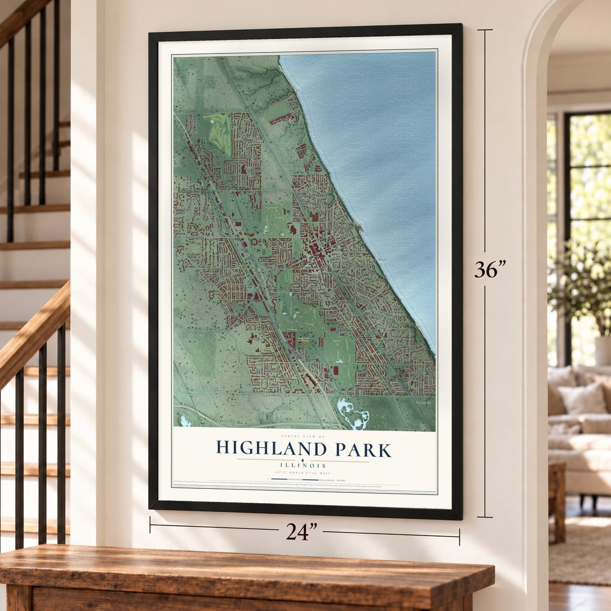
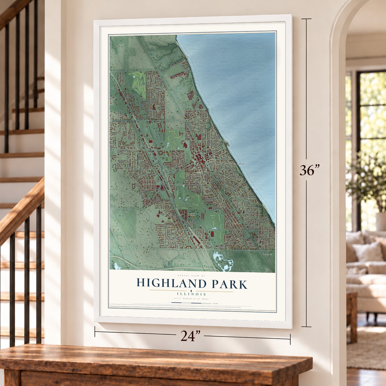

Free U.S. delivery 7 to 10 days after you order
Highland Park, Illinois Map Art
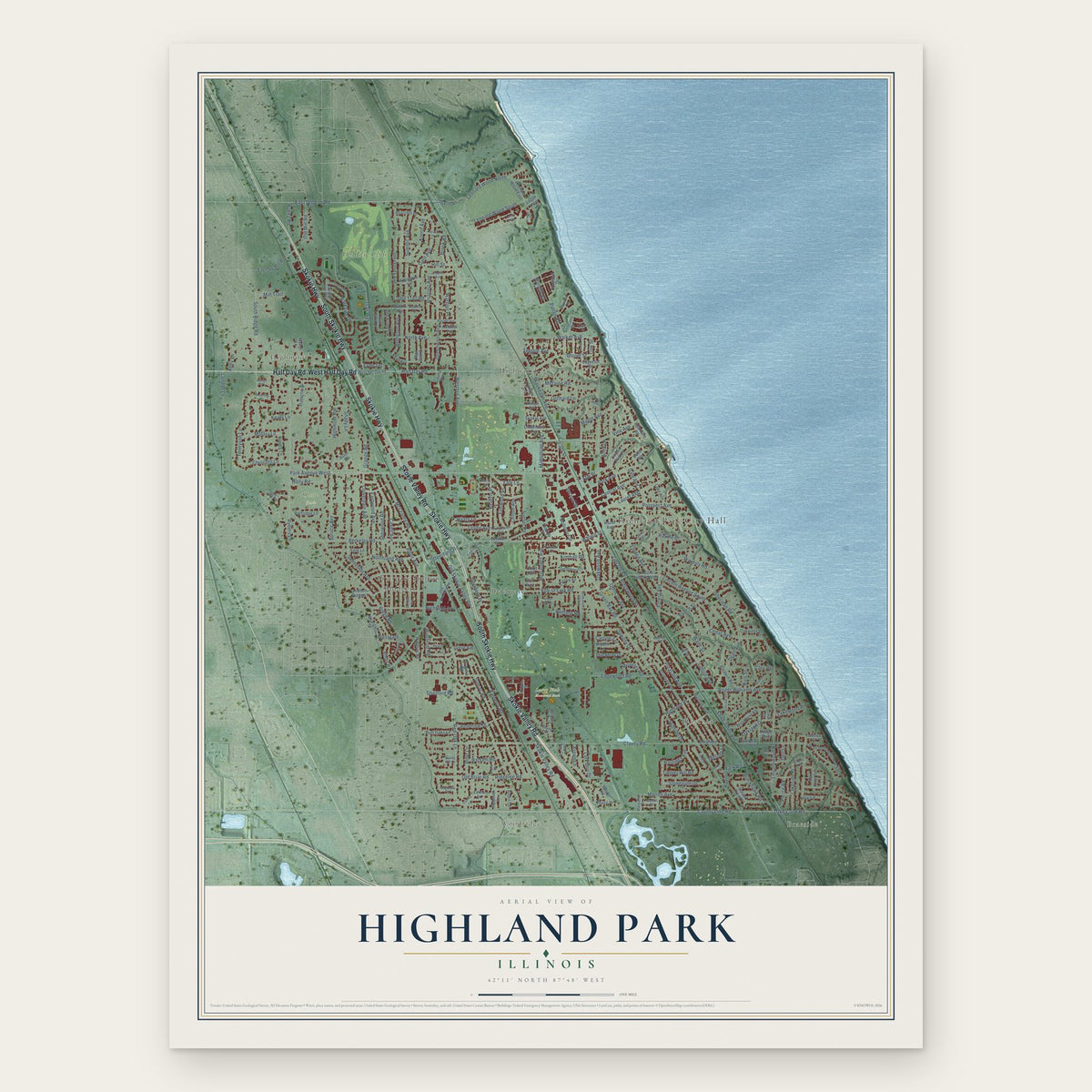
A new map of Highland Park, Illinois, made in 2026 and printed to order on thick archival matte paper.
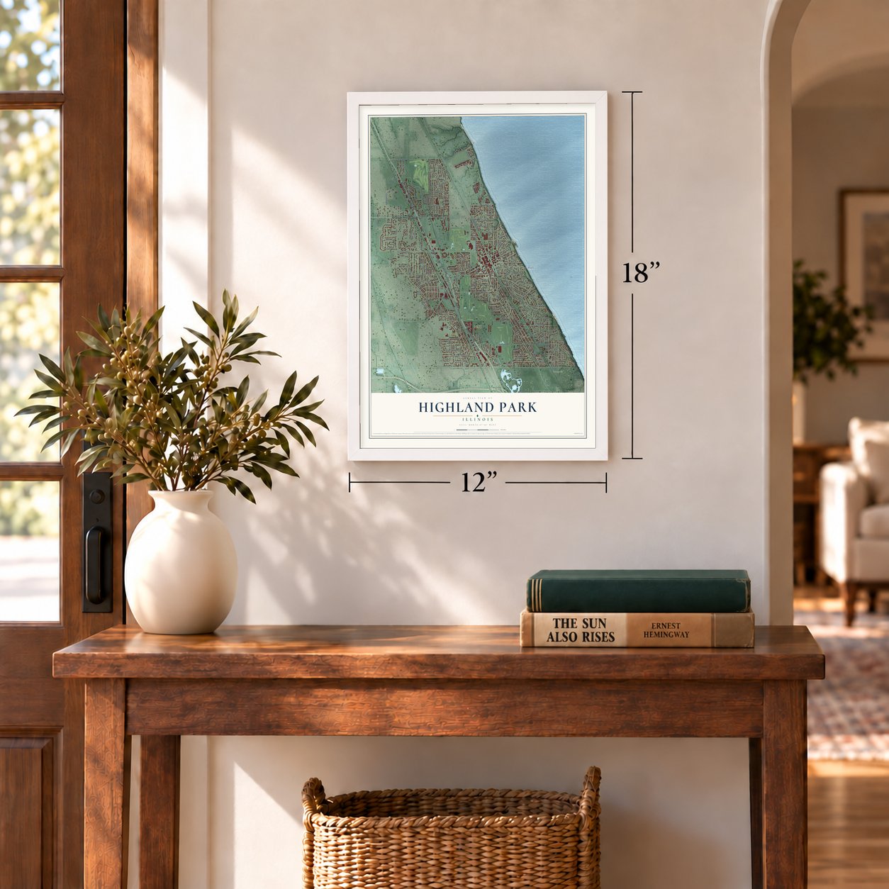
12" x 18" Archival Matte Print
A Map of Home. A Work of Art.
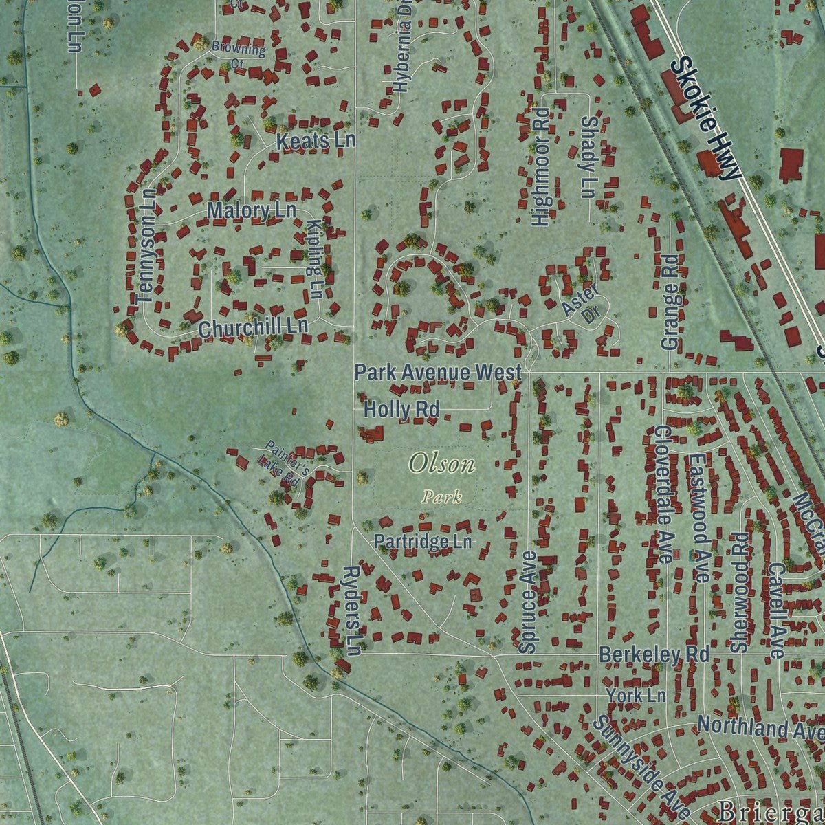
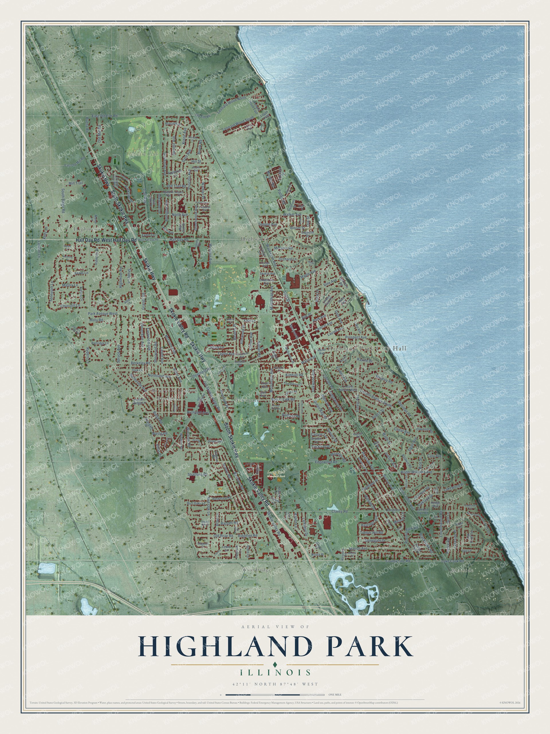
Explore Highland Park, Illinois from a whole new perspective. Created using aerial imagery and detailed geographic data, this map captures Highland Park building by building, with labeled streets, familiar landmarks, and shaded topographical relief that highlights the natural contours of the landscape.
Combining modern data with the timeless character of a vintage atlas, this map is just as interesting up close as it is beautiful on the wall. Whether you grew up in Highland Park, spent memorable years there, or call it home today, this unique map is a great way to celebrate a place that means something to you. Zoom in on the preview to look for your street, and then order a print to put your memories on the wall.
Three ways to hang it
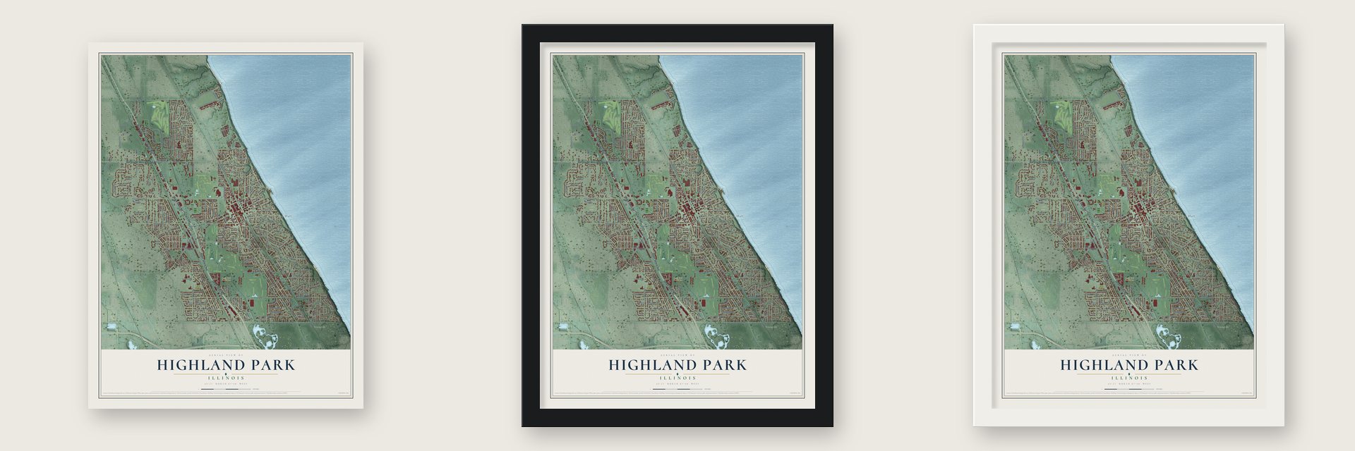
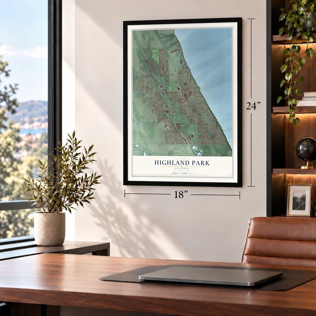
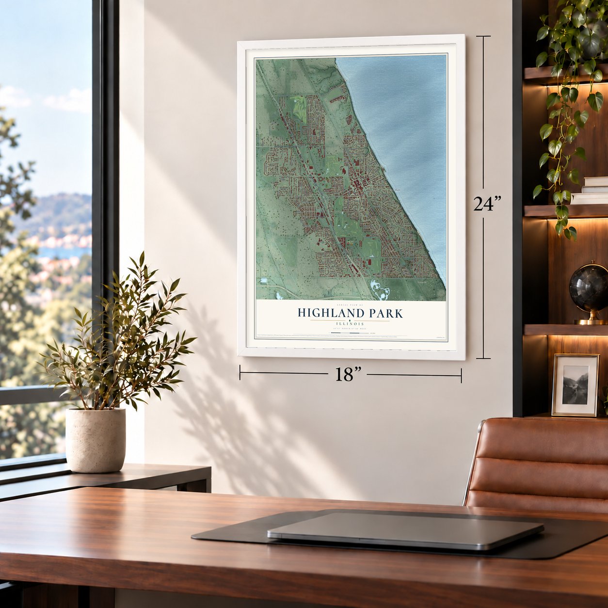
Unframed archival matte, a black wood frame or a white wood frame.
Up close
Geography Worth Displaying
This map was created using accurate cartographic data and authoritative geographic sources, including the U.S. Geological Survey and the Census Bureau. The map brings together terrain, waterways, roads, and building detail. The majority of the streets are labeled, houses are accurately depicted, and the topography is derived from government sources. Combining local data with carefully composed color and shading leads to this beautifully detailed Highland Park artwork for your wall.
Rather than simply showing street outlines, we’ve included as many of the street names as we could reasonably fit on the map while keeping their names legible. Zoom in on the high resolution preview to see exactly what’s on the map. We truly set out to create a statement piece for anyone who loves Highland Park. So whether it’s for you, or a gift for someone you love, we hope this map of Highland Park brings back fond memories.
Read the story behind this map of Highland Park, Illinois from 2026.

About Highland Park, Illinois
Highland Park is a Lake County city on Lake Michigan's North Shore, with 30,176 residents recorded in the 2020 census. Established as a city in 1869, it grew from the earlier settlements of St. John and Port Clinton. The landscape includes wooded ravines and a lakefront bluff, while Ravinia Festival presents summer concerts in its namesake district.
- City BeginningsHighland Park became a city on March 11, 1869, when its population stood at 500.
- Lakefront LandscapeA 100-foot bluff follows six miles of Lake Michigan shoreline, while wooded ravines reach as far as one mile inland.
- Summer MusicRavinia's 3,200-seat pavilion presents classical, pop, jazz, and Latin concerts and has been the Chicago Symphony Orchestra's summer home since 1936.
Find your street
Names on the Highland Park map
Every name below is printed on this map. Look for your street, your school, the park where you played, or the pond down the road.
Places and landmarks12
- Highland Park City Hall
- Braeside
- Woodridge
- Ravinia
- Larry Fink Memorial Park
- Olson Park
- Blodgett
- Briergate
- Briergate Station
- Highmoor
- Highwood
- Old Elm Club
Streets and roads256
- South Skokie Highway
- Skokie Highway
- Skokie Valley Road
- Half Day Road
- West Half Day Road
- East Old Elm Road
- Leonard Wood North
- Green Bay Road
- Patten Road
- Priscilla Avenue
- Deerfield Road
- Ridge Road
- County Line Road
- Lake Cook Road
- Old Trail Road
- Waukegan Avenue
- Oakwood Avenue
- Sheridan Road
- Saint Johns Avenue
- Park Avenue West
- Clavey Road
- Linden Avenue
- Western Avenue
- Summit Avenue
- Central Avenue
- Barberry Road
- Trail Way
- Cavell Avenue
- Roger Williams Avenue
- Red Oak Lane
Show all 256 streets
- Laurel Avenue
- Sunnyside Avenue
- Sumac Road
- Berkeley Road
- Vine Avenue
- Edgewood Road
- Ravine Drive
- Eastwood Avenue
- Sherwood Road
- Old Skokie Valley Road
- Forest Avenue
- Pleasant Avenue
- Deerfield Place
- Burton Avenue
- First Street
- Richfield Avenue
- Greenwood Avenue
- McCraren Road
- Cloverdale Avenue
- Lincoln Avenue South
- University Avenue
- Old Briar Road
- Ridgewood Drive
- Tennyson Lane
- Bob-O-Link Road
- Marion Avenue
- Dato Avenue
- Sunset Road
- Park Avenue
- Arbor Avenue
- Northland Avenue
- Highland Place
- Glencoe Avenue
- Second Street
- North Avenue
- Judson Avenue
- Cedar Avenue
- Waverly Road
- Prospect Avenue
- Hastings Avenue
- Lakeside Place
- Walker Avenue
- Elmwood Drive
- Elm Place
- Bloom Street
- Wade Street
- Parkside Drive
- Dean Avenue
- Beverly Place
- Spruce Avenue
- McDaniels Avenue
- Highmoor Road
- Ravinia Park Road
- Hill Street
- Beech Street
- Saxony Drive
- Krenn Avenue
- Old Mill Road
- Moraine Road
- Leonard Wood South
- Stonegate Drive
- Churchill Lane
- Winthrop Road
- Timber Hill Road
- Lincolnwood Road
- Hillside Drive
- Dale Avenue
- Clifton Avenue
- Ridgelee Road
- Warbler Place
- Arlington Avenue
- Kimball Road
- Blackhawk Road
- Buena Road
- Oakland Drive
- Aspen Lane
- Midlothian Avenue
- Pierce Road
- South Ridge Road
- Holly Road
- Malory Lane
- Maple Avenue
- Hilary Lane
- Cary Avenue
- Rice Street
- Keats Lane
- Shady Lane
- Lakewood Place
- Oak Street
- Grange Road
- Lynn Terrace
- Ryders Lane
- Larkspur Drive
- Brittany Road
- Carlyle Terrace
- Moseley Road
- Landon Lane
- Briar Lane
- Taylor Avenue
- Orchard Lane
- Dell Lane
- Stratford Road
- Brook Road
- Temple Avenue
- Mill Trail
- Lincoln Place
- Balsam Road
- Idlewood Lane
- Westgate
- Murphy Road
- Villas Court
- Melody Lane
- Kelly Lane
- Yale Lane
- Ivy Lane
- Walnut Street
- Allee Lane
- Old Elm Road
- Leonard Wood East
- Central Road
- Hybernia Drive
- Hazel Avenue
- Lincoln Avenue West
- Lake Avenue
- Egandale Road
- Indian Tree Drive
- Rosemary Road
- Thackeray Drive
- Woodland Road
- Clavey Lane
- Hyacinth Place
- Aster Drive
- Oak Knoll Terrace
- York Lane
- Logan Loop
- Lambert Tree Road
- Marl Oak Drive
- Mavor Lane
- Burr Oaks Lane
- East Old Mill Road
- Baldwin Road
- Golf Avenue
- Twin Oaks Drive
- Hidden Ridge Lane
- Chatfield Drive
- Onwentsia Avenue
- Auburn Avenue
- McGovern Street
- Linden Park Place
- Oakmont Road
- Partridge Lane
- Kipling Lane
- Windsor Road
- Appletree Lane
- Briargate Drive
- Skokie Avenue
- Dryden Lane
- Grove Avenue
- Veterans Drive
- Clavey Court
- Nyoda Place
- Acorn Lane
- Hickory Street
- Kent Avenue
- Hemlock Lane
- Edgecliff Drive
- Virginia Road
- Court Avenue
- Trillium Lane
- Belle Avenue
- Hedge Run
- Lewis Lane
- Elder Lane
- Ava Street
- Euclid Avenue
- Lexington Lane West
- Johnston Drive
- Broadview Avenue
- Old Deerfield Road
- Augusta Way
- North Deere Park Drive East
- Princeton Avenue
- Kimballwood Lane
- Fairview Road
- Kincaid Street
- Windy Hill Lane
- Blackstone Place
- Magnolia Lane
- Heather Lane
- Coventry Lane
- Lakeview Terrace
- Llewellyn Avenue
- Winona Road
- Marquette Road
- Melvin Drive
- Driscoll Court
- Chicago Avenue
- Thorn Tree Lane
- Heck Street
- Ravinia Road
- Auburn Court
- Orleans Drive
- Ravine Terrace
- Lyman Court
- Cherry Lane
- Iris Lane
- Ferndale Avenue
- Painter's Lake Road
- Roslyn Lane
- Centennial Lane
- Country Lane
- Charal Lane
- Burchell Avenue
- Audubon Place
- Crofton Avenue North
- Bronson Lane
- Bradley Court
- Fredrickson Place
- Seven Pines Circle
- Concorde Circle
- Leslee Lane
- Browning Court
- Poplar Road
- Shelley Court
- Towers Keep
- Melba Lane
Names are listed as they appear on the printed map. Zoom into the product photos to find them.
The art of mapping a place
How This Map Was Made
Real places. Remarkable detail. Discover the layers that turn geographic data into a map of home.

The view from above
Aerial imagery reveals the character of the land: woodland, open fields, and the patterns of a place.

The shape of the land
Elevation data brings hills, valleys, and subtle changes in the landscape into view.

The details of home
Roads, waterways, and building footprints come together to make the map feel unmistakably local.

Geography becomes art
Considered color, shading, and typography bring the layers together in a map made for your wall.


Process illustrated with Mendon, Massachusetts. Aerial imagery: USDA NAIP. Terrain: USGS 3D Elevation Program. Map details and finished artwork: KNOWOL.
The Details
About This Print
Choose an archival matte print, or a black or white Ayous wood frame. The archival matte print is unframed.
Select your size and finish above to see the matching product image and price.
Materials & Craftsmanship
A contemporary map with the character of a classic atlas, printed on archival matte paper. Optional frames are made from Ayous wood.
Your printed map does not include the watermark shown in the full-map preview.
Shipping & Delivery
Free shipping within the United States. Every print is made to order in the USA.
Buying a gift? Add a note in your cart and we'll include it. We never put prices in the package.
Prints ship within 2 to 3 business days. Allow 7 to 10 days total from ordering for delivery. Timing may vary during holidays or periods of high order volume.
Read our shipping policy.
Returns and damaged prints
Each print is made to order. Change-of-mind refunds are not available after production.
If your print arrives damaged, misprinted or incorrect, contact support@knowol.com within 30 days of receiving it. Include your order number, photos and a description of the issue.
Read our full refund and replacement policy. For questions about your order, email support@knowol.com.
Find your town
Looking for another city?
Find a map of home in our Illinois collection, or any town in the country.
Nearby
Maps of towns near Highland Park
Know someone from one of these towns? Their map makes a great gift.
 Highwood
, Illinois
From $39.99See the map
 Deerfield
, Illinois
From $39.99See the map
 Bannockburn
, Illinois
From $39.99See the map
More maps nearby: Northbrook, Glencoe, Riverwoods, Lake Forest and Lincolnshire.