
Search for another town



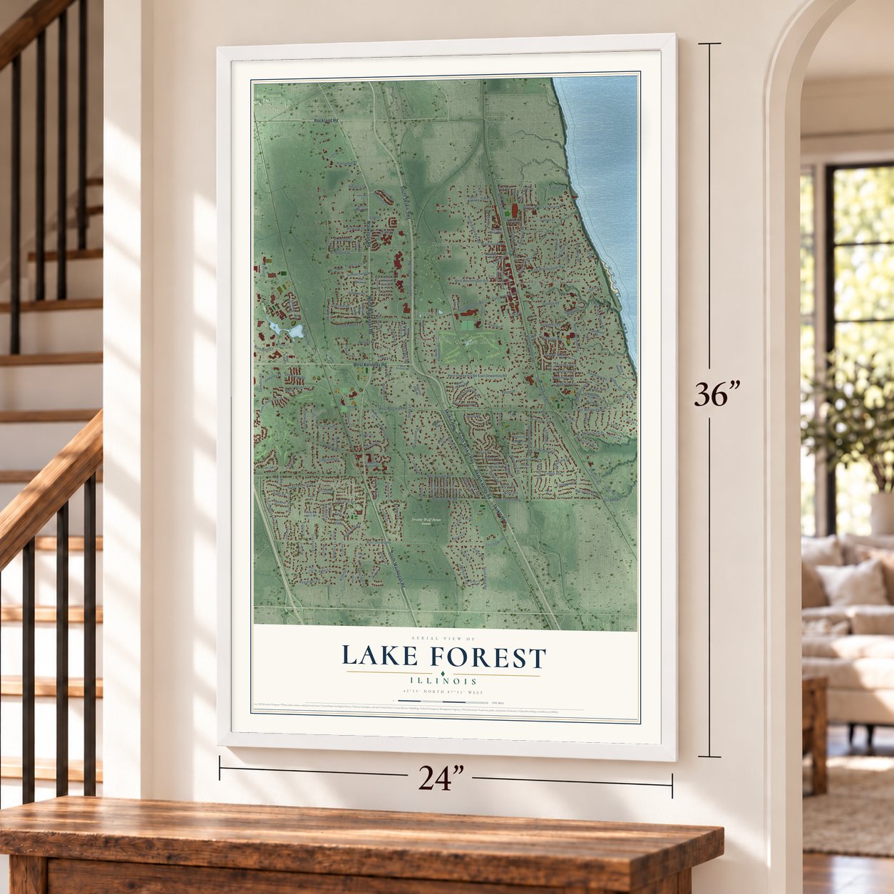

Free U.S. delivery 7 to 10 days after you order
Lake Forest, Illinois Map Art
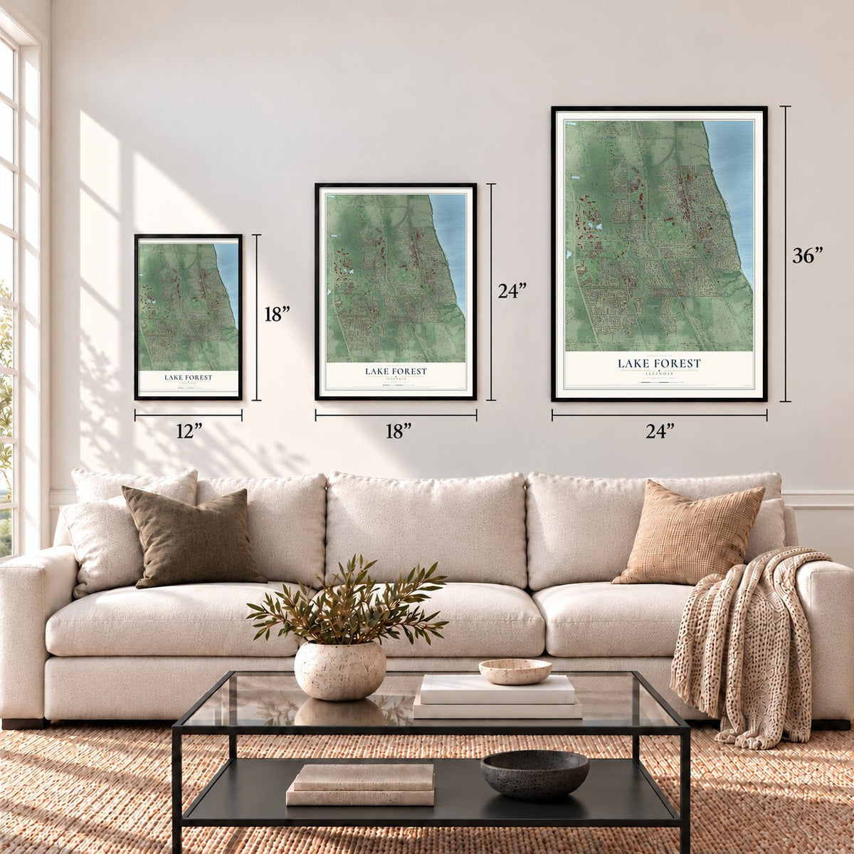
A new map of Lake Forest, Illinois, made in 2026 and printed to order on thick archival matte paper.
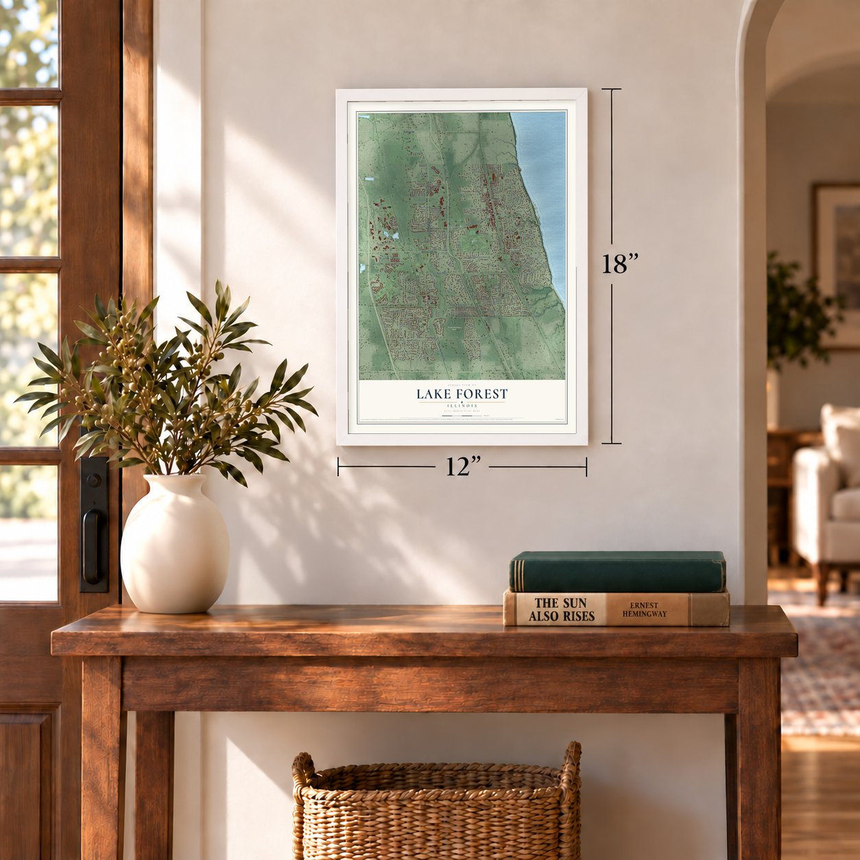
12" x 18" Archival Matte Print
A Map of Home. A Work of Art.
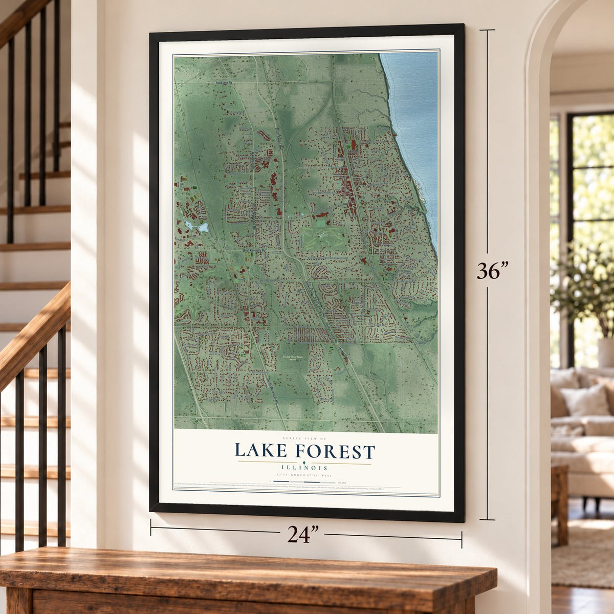
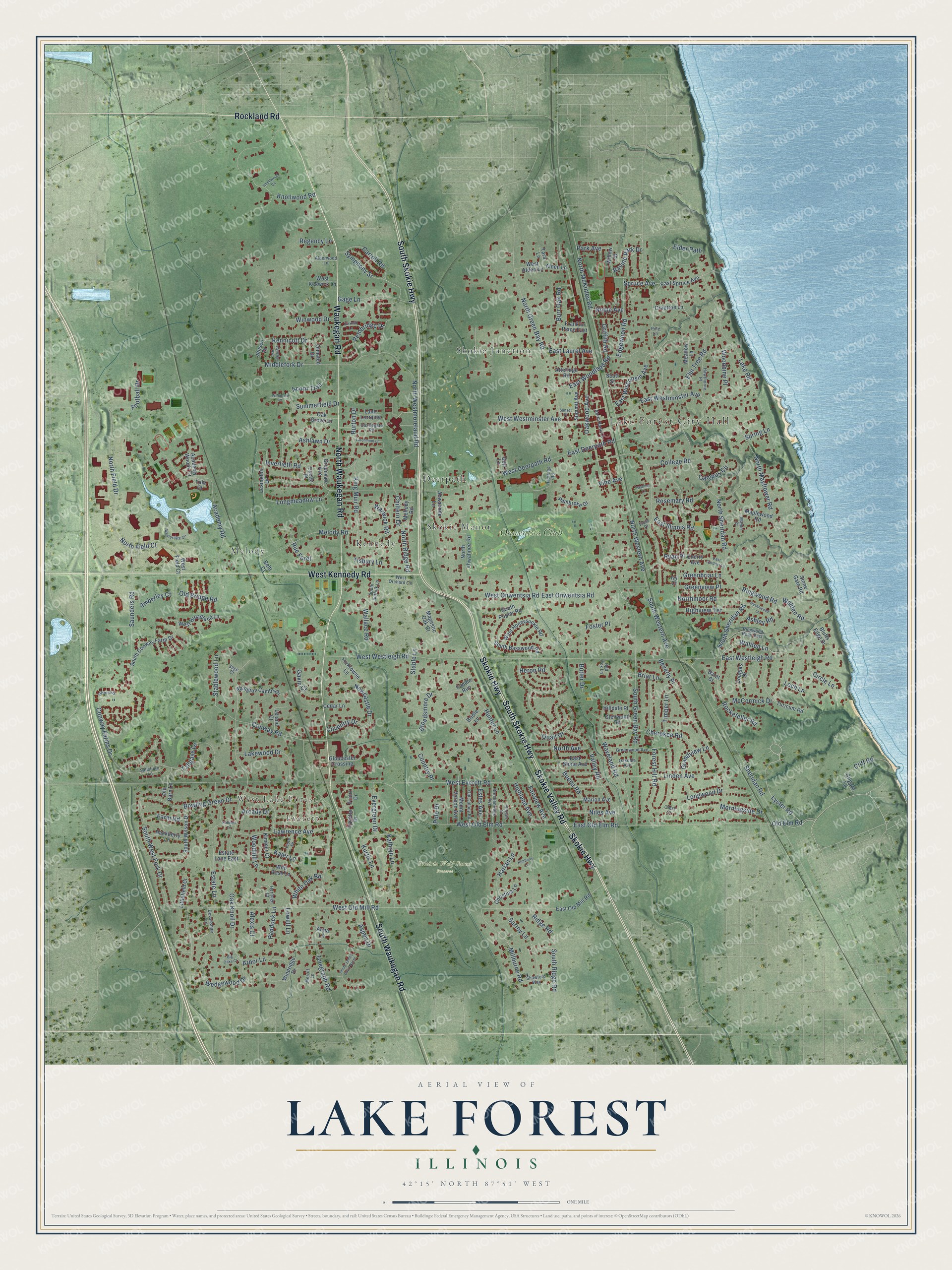
Explore Lake Forest, Illinois from a whole new perspective. Created using aerial imagery and detailed geographic data, this map captures Lake Forest building by building, with labeled streets, familiar landmarks, and shaded topographical relief that highlights the natural contours of the landscape.
Combining modern data with the timeless character of a vintage atlas, this map is just as interesting up close as it is beautiful on the wall. Whether you grew up in Lake Forest, spent memorable years there, or call it home today, this unique map is a great way to celebrate a place that means something to you. Zoom in on the preview to look for your street, and then order a print to put your memories on the wall.
Three ways to hang it
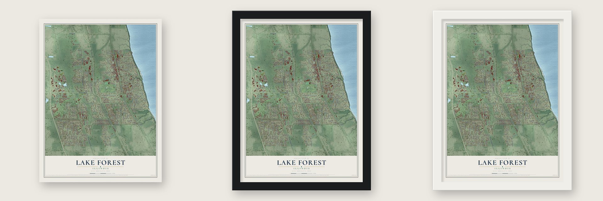
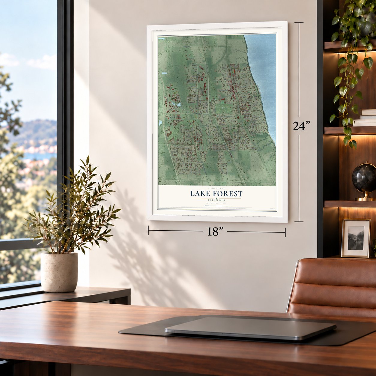
Unframed archival matte, a black wood frame or a white wood frame.
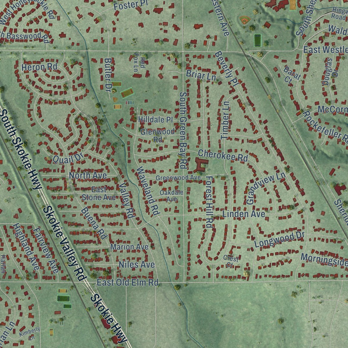
Up close
Geography Worth Displaying
This map was created using accurate cartographic data and authoritative geographic sources, including the U.S. Geological Survey and the Census Bureau. The map brings together terrain, waterways, roads, and building detail. The majority of the streets are labeled, houses are accurately depicted, and the topography is derived from government sources. Combining local data with carefully composed color and shading leads to this beautifully detailed Lake Forest artwork for your wall.
Rather than simply showing street outlines, we’ve included as many of the street names as we could reasonably fit on the map while keeping their names legible. Zoom in on the high resolution preview to see exactly what’s on the map. We truly set out to create a statement piece for anyone who loves Lake Forest. So whether it’s for you, or a gift for someone you love, we hope this map of Lake Forest brings back fond memories.
Read the story behind this map of Lake Forest, Illinois from 2026.

About Lake Forest, Illinois
From the 1877 Past and Present of Lake County, Illinois: "The First Presbyterian Church, in Lake Forest, was organized by the Presbytery of Chicago, July 24, 1859, and embraced twelve members."
Find your street
Names on the Lake Forest map
Every name below is printed on this map. Look for your street, your school, the park where you played, or the pond down the road.
Places and landmarks10
- Lake Forest City Hall
- Everett
- West Lake Forest
- Prairie Wolf Forest Preserve
- Deerpath
- Kennedy
- Melody
- Skokie Junction
- Skokie Manor
- Onwentsia Club
Streets and roads264
- Waukegan Road
- South Waukegan Road
- North Waukegan Road
- South Skokie Highway
- Skokie Valley Road
- West Kennedy Road
- Skokie Highway
- Rockland Road
- Lyster Road
- Old Elm Road
- Conway Farms Drive
- North Sheridan Road
- East Old Elm Road
- South Western Avenue
- North McKinley Road
- North Field Court
- King Muir Road
- Greenbriar Lane
- Walden Road
- East Illinois Road
- Ashlawn Drive
- East Westleigh Road
- Melody Road
- South Ridge Road
- West Everett Road
- West Old Mill Road
- North Green Bay Road
- Oak Knoll Drive
- North Western Avenue
- West Deerpath Road
Show all 264 streets
- Buena Road
- Telegraph Road
- South Green Bay Road
- East Deerpath Road
- North Westmoreland Road
- West Westleigh Road
- Lake Road
- East Westminster Avenue
- Sheridan Road
- East Woodland Road
- Valley Road
- Beverly Place
- West Old Elm Road
- North Mayflower Road
- Linden Avenue
- Knollwood Road
- Academy Road
- Timber Lane
- North Field Drive
- Ringwood Road
- Estate Lane
- Elm Tree Road
- Cherokee Road
- Saunders Road
- Forest Hill Road
- Waveland Road
- Wedgewood Drive
- Conway Road
- Campus Circle
- South West Fork Drive
- Tallgass Lane
- Rosemary Road
- Winwood Drive
- Oakwood Avenue
- Spruce Avenue
- McCormick Drive
- East Onwentsia Road
- Hunter Lane
- Edgewood Road
- Carroll Road
- Bowling Green Drive
- Lawrence Avenue
- Elder Path
- South Sheridan Road
- Grandview Lane
- Ridge Road
- East Wisconsin Avenue
- Rockefeller Road
- Circle Lane
- Millburne Road
- Pembridge Drive
- Arbor Lane
- Longwood Drive
- Harlan Lane
- Surrey Lane
- Lakewood Drive
- Walden Lane
- Gage Lane
- Butler Drive
- Morningside Drive
- Middlefork Drive
- Inverlieth Road
- Longmeadow Lane
- Broadsmore Drive
- West Onwentsia Road
- Kathryn Lane
- Old Bridge Road
- Newcastle Drive
- West Westminster Avenue
- Arcady Drive
- Northmoor Road
- Stablewood Lane
- Summerfield Drive
- Kurtis Lane
- Highview Terrace
- Foster Place
- Acorn Trail
- Stable Lane
- Amberley Court
- Greenview Place
- Wallace Road
- Loch Lane
- Evergreen Drive
- Symphony Street
- Coventry Drive
- Football Drive
- Ashley Road
- Niles Avenue
- Burton Drive
- North Ridge Road
- White Oak Road
- East Laurel Avenue
- Kennicott Drive
- Woodhill Lane
- Highland Avenue
- Woodbine Place
- Fairview Avenue
- College Road
- Cliff Road
- Ryan Place
- Aspen Drive
- Farm Road
- Country Place
- Ravine Park Drive
- Briar Lane
- Estes Avenue
- Gavin Court
- Griffith Road
- Spring Lane
- Chiltern Drive
- Burr Oak Road
- Quail Drive
- Vine Avenue
- Warwick Road
- Park Avenue
- Regency Lane
- North Avenue
- Paddock Lane
- Tisbury Lane
- Noble Avenue
- Rue Foret
- Alexis Court
- Lowell Lane
- Kajer Lane
- Heron Road
- Polo Drive
- West Field Court
- South Conway Farm Drive
- Mellody Road
- South Basswood Road
- Maplewood Road
- North Ahwahnee Road
- Mount Vernon Avenue
- South Wilson Drive
- Turicum Road
- Glenwood Road
- Ahwahnee Lane
- West Broadland Lane
- West Honeysuckle Road
- Lynette Drive
- Gloucester Crossing
- Marion Avenue
- Lexington Drive
- Abington Cambs Drive
- Windridge Drive
- Hilldale Place
- Stone Gate Road
- Greenvale Avenue
- East Spruce Avenue
- Pembroke Drive
- Douglas Drive
- East Stone Avenue
- Hackberry Lane
- East Old Mill Road
- Summit Avenue
- Atteridge Road
- Franz Drive
- Wild Rose Lane
- Yorktowne Lane
- Academy Woods Drive
- Littlefield Court
- Bluffs Edge Drive
- Leland Court
- South Poplar Road
- Christina Lane
- Estate Lane East
- Willow Street
- Meadow Lane
- Golf Lane
- Oak Grove Lane
- Crabtree Lane
- Lane Lorraine
- West Keswick Lane
- Franklin Place East
- West Alden Lane
- Gilgare Lane
- Scott Street
- Magestic Oak Court
- Saddle Run
- Kimmer Court
- Jensen Drive
- Alden Lane
- Bridle Lane
- Cedar Lane
- Olmsted Drive
- Old Barn Lane
- Cherry Avenue
- Tara Lane
- Exeter Place
- Barat Court
- Behr Court
- Anna Lane
- Yale Court
- Ivy Court
- West Orchard Circle
- Harlan Court
- North Bank Lane
- Greenwood Avenue
- Hawthorne Place
- South Suffolk Lane
- Devonshire Lane
- Hastings Road
- Castlegate Road
- Ringwood Road East
- Breckenridge Avenue
- Old Colony Road
- Shawford Way
- Heritage Court
- Fiore Drive
- Salisbury Lane
- Oakdale Avenue
- Alderwood Lane
- Frost Place
- Merritt Lane
- Maple Court
- Red Fox Lane
- Crest Court
- Sage Court
- Pine Lane
- Westbridge Circle
- Kirkhill Lane
- Kimberly Lane
- Havenwood Lane
- Sunset Place
- Larchmont Lane
- Whitmore Court
- Aynsley Avenue
- Wharton Drive
- South James Court North
- Knollwood Circle
- East Gardner Lane
- Big Oaks Court
- Kennett Lane
- Heather Lane
Names are listed as they appear on the printed map. Zoom into the product photos to find them.
The art of mapping a place
How This Map Was Made
Real places. Remarkable detail. Discover the layers that turn geographic data into a map of home.

The view from above
Aerial imagery reveals the character of the land: woodland, open fields, and the patterns of a place.

The shape of the land
Elevation data brings hills, valleys, and subtle changes in the landscape into view.

The details of home
Roads, waterways, and building footprints come together to make the map feel unmistakably local.

Geography becomes art
Considered color, shading, and typography bring the layers together in a map made for your wall.


Process illustrated with Mendon, Massachusetts. Aerial imagery: USDA NAIP. Terrain: USGS 3D Elevation Program. Map details and finished artwork: KNOWOL.
The Details
About This Print
Choose an archival matte print, or a black or white Ayous wood frame. The archival matte print is unframed.
Select your size and finish above to see the matching product image and price.
Materials & Craftsmanship
A contemporary map with the character of a classic atlas, printed on archival matte paper. Optional frames are made from Ayous wood.
Your printed map does not include the watermark shown in the full-map preview.
Shipping & Delivery
Free shipping within the United States. Every print is made to order in the USA.
Buying a gift? Add a note in your cart and we'll include it. We never put prices in the package.
Prints ship within 2 to 3 business days. Allow 7 to 10 days total from ordering for delivery. Timing may vary during holidays or periods of high order volume.
Read our shipping policy.
Returns and damaged prints
Each print is made to order. Change-of-mind refunds are not available after production.
If your print arrives damaged, misprinted or incorrect, contact support@knowol.com within 30 days of receiving it. Include your order number, photos and a description of the issue.
Read our full refund and replacement policy. For questions about your order, email support@knowol.com.
Find your town
Looking for another city?
Find a map of home in our Illinois collection, or any town in the country.
Nearby
Maps of towns near Lake Forest
Know someone from one of these towns? Their map makes a great gift.
 Highwood
, Illinois
From $39.99See the map
 Bannockburn
, Illinois
From $39.99See the map
 Lake Bluff
, Illinois
From $39.99See the map
More maps nearby: Mettawa, Knollwood, Lincolnshire, Highland Park and Riverwoods.