
Search for another town





Free U.S. delivery 7 to 10 days after you order
Hilton Head Island, South Carolina Map Art
A new map of Hilton Head Island, South Carolina, made in 2026 and printed to order on thick archival matte paper.
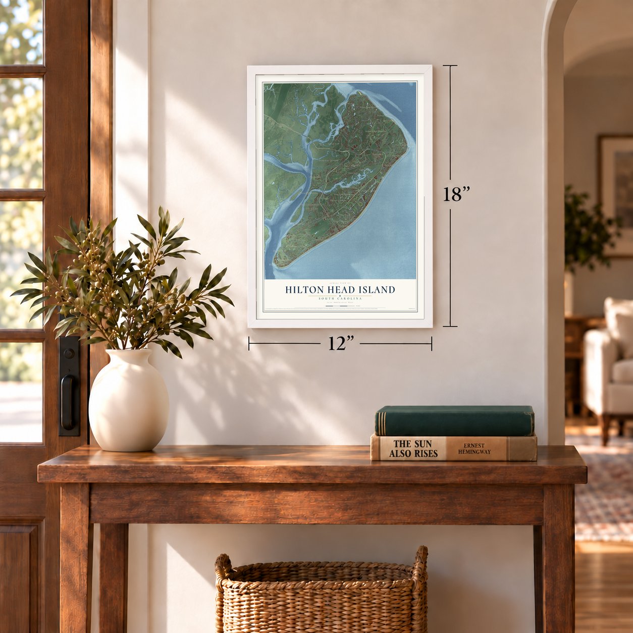
12" x 18" Archival Matte Print
A Map of Home. A Work of Art.
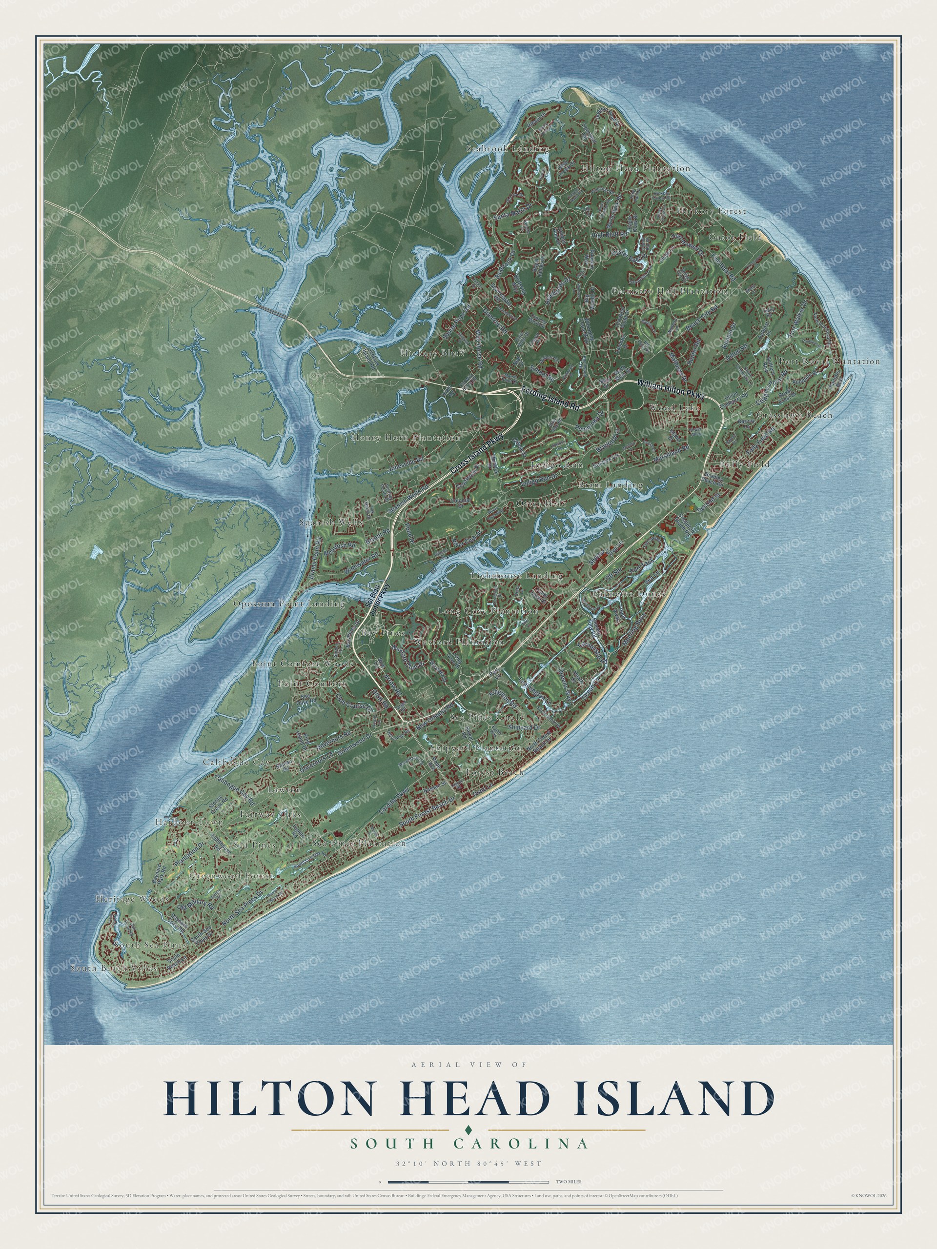
Explore Hilton Head Island, South Carolina from a whole new perspective. Created using aerial imagery and detailed geographic data, this map captures Hilton Head Island building by building, with labeled streets, familiar landmarks, and shaded topographical relief that highlights the natural contours of the landscape.
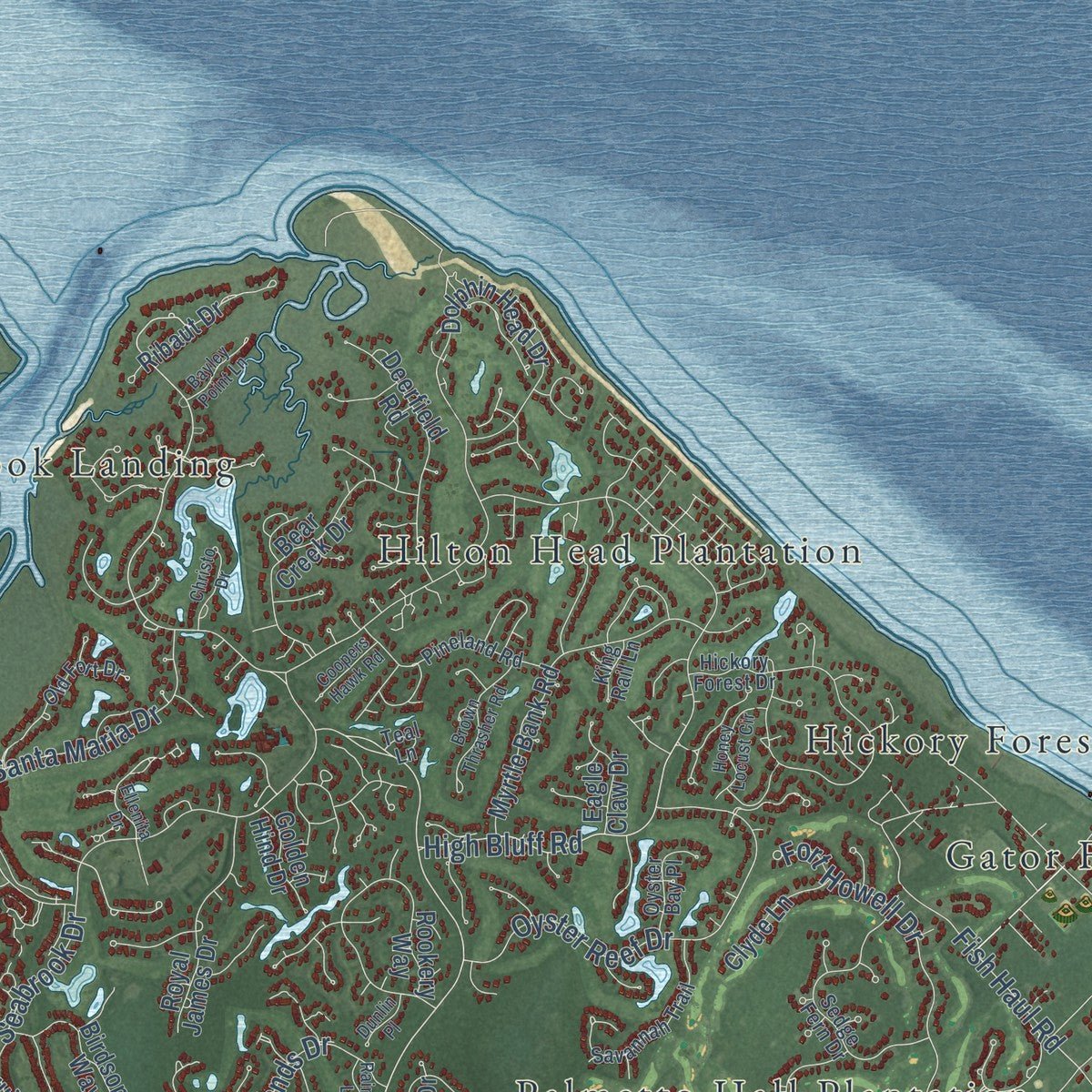
Combining modern data with the timeless character of a vintage atlas, this map is just as interesting up close as it is beautiful on the wall. Whether you grew up in Hilton Head Island, spent memorable years there, or call it home today, this unique map is a great way to celebrate a place that means something to you. Zoom in on the preview to look for your street, and then order a print to put your memories on the wall.
Three ways to hang it
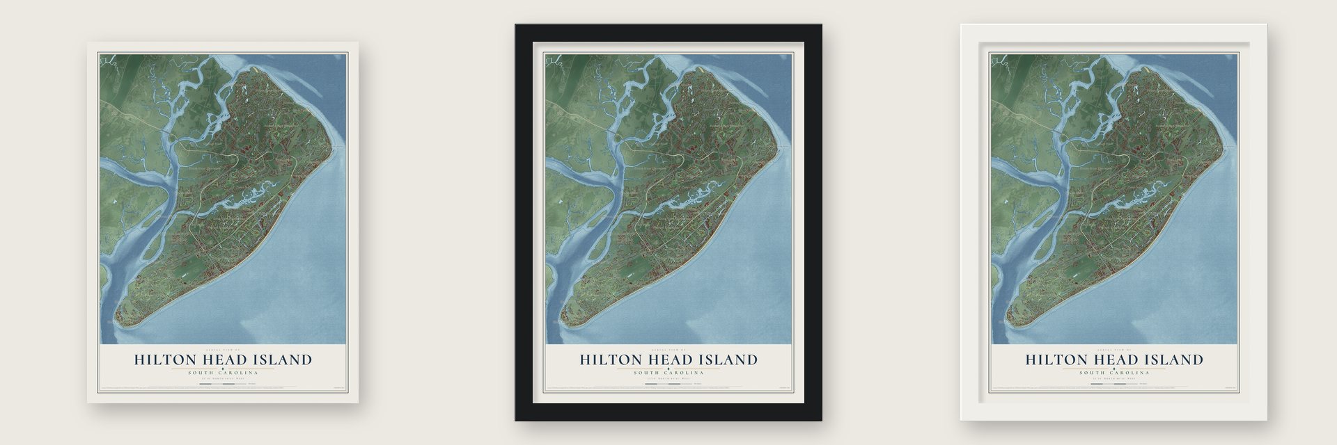
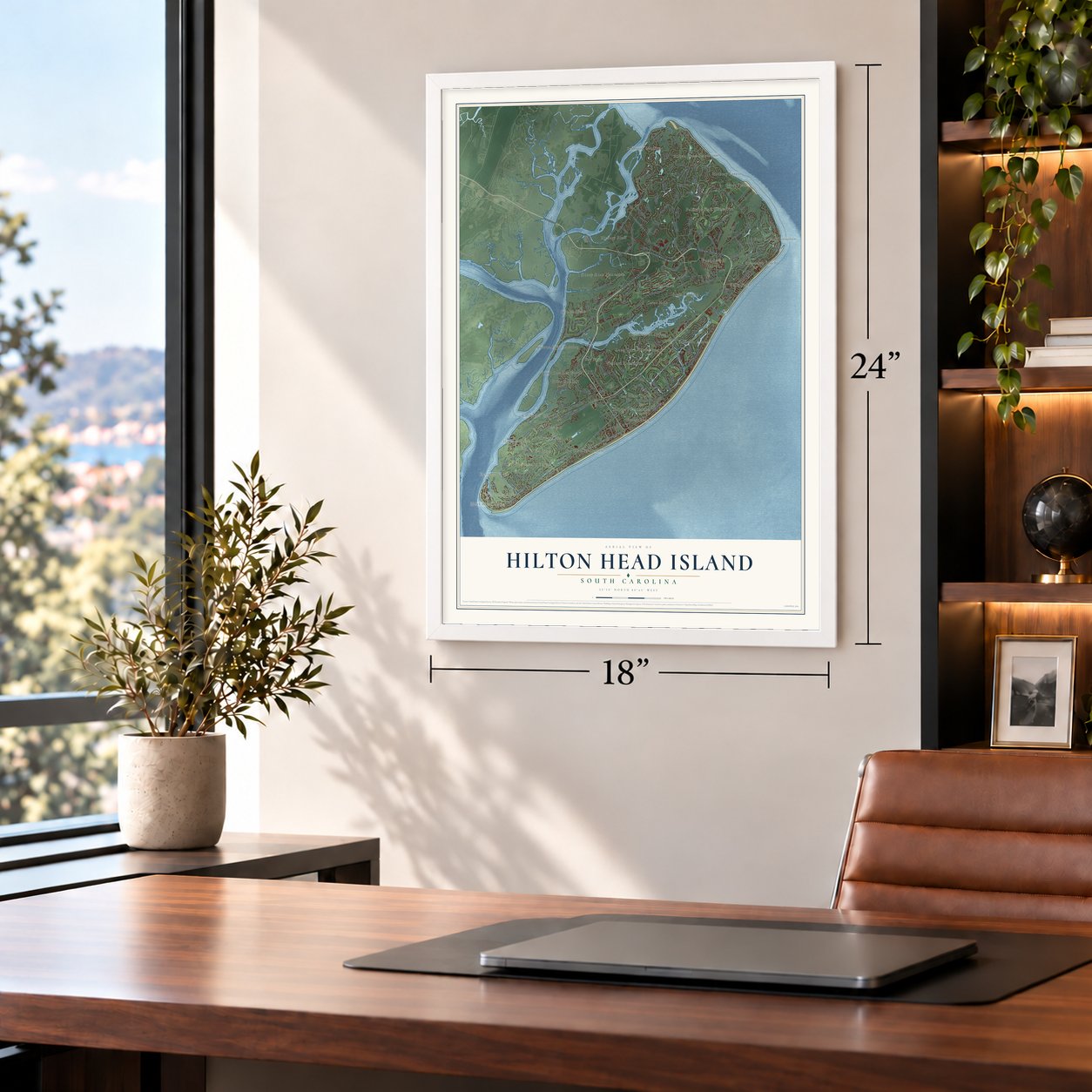
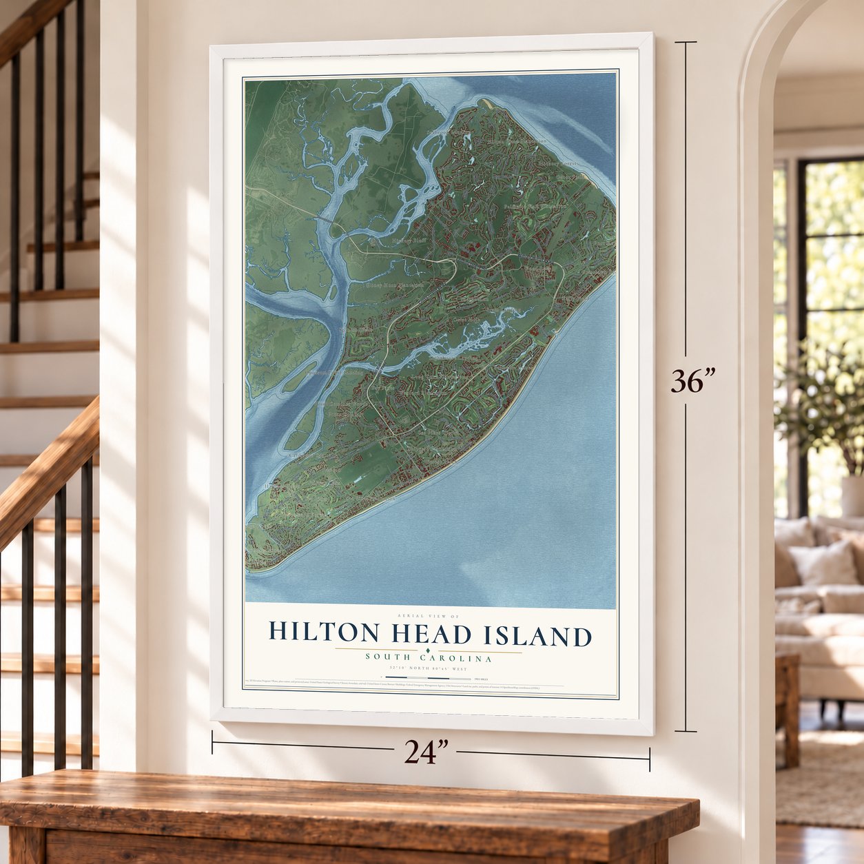
Unframed archival matte, a black wood frame or a white wood frame.
Up close
Geography Worth Displaying
This map was created using accurate cartographic data and authoritative geographic sources, including the U.S. Geological Survey and the Census Bureau. The map brings together terrain, waterways, roads, and building detail. The majority of the streets are labeled, houses are accurately depicted, and the topography is derived from government sources. Combining local data with carefully composed color and shading leads to this beautifully detailed Hilton Head Island artwork for your wall.
Rather than simply showing street outlines, we’ve included as many of the street names as we could reasonably fit on the map while keeping their names legible. Zoom in on the high resolution preview to see exactly what’s on the map. We truly set out to create a statement piece for anyone who loves Hilton Head Island. So whether it’s for you, or a gift for someone you love, we hope this map of Hilton Head Island brings back fond memories.
Read the story behind this map of Hilton Head Island, South Carolina from 2026.

About Hilton Head Island, South Carolina
Hilton Head Island is a town of 37,661 people in Beaufort County, on a barrier island in the South Carolina Lowcountry. It takes its name from Captain William Hilton, who sailed from Barbados on the Adventure in 1663 and marked a headland at the mouth of Port Royal Sound. Planters later raised cotton here, and in 1790 William Elliott II grew the state's first crop of Sea Island Cotton on the island.
In the early 1950s only 300 people lived on the island, and the only ways over were private boats or a state ferry. That changed in 1956. The James F. Byrnes Bridge, built for $1.5 million, opened the island to cars, and Charles E. Fraser began building Sea Pines Resort. Other planned communities soon copied it. Islanders grew unhappy with how Beaufort County handled all that growth, and in 1983 they incorporated their own town.
- Fort Walker falls in 1861The Confederate guns of Fort Walker guarded the 2-mile-wide entrance to Port Royal Sound. On November 7, 1861, after the Battle of Port Royal, the fort fell to more than 12,000 Union troops, who renamed it Fort Welles. The island then became a major Union base for the blockade of Savannah and Charleston.
- Mitchelville and freedomHundreds of freed slaves came to the island once Union troops held it, and here they could buy land, attend school and join the First Regiment of South Carolina Volunteers. The Union built Mitchelville on the north end for them, naming it for General Ormsby M. Mitchel. On May 15, 1865, Major General Quincy Adams Gillmore, headquartered here, ordered that Black people be treated as free citizens of the United States. Many of their Gullah descendants still live here.
- The Liberty OakCharles Fraser redesigned the entire Harbour Town marina to spare an ancient live oak, which became known as the Liberty Oak. Singer Gregg Russell performed beneath it for over 25 years, and Fraser was buried beside it when he died in 2002. The Heritage golf tournament was first played at Sea Pines in 1969, and it has been a PGA Tour stop ever since.
Find your street
Names on the Hilton Head Island map
Every name below is printed on this map. Look for your street, your school, the park where you played, or the pond down the road.
Places and landmarks36
- South Beach Villas
- South Sea Pines
- Heritage Woods
- Greenwood Forest
- Harbour Town
- Bay Pines
- Bram Landing
- Calibogue Cay
- Fairway Oaks
- Folly Field
- Forest Beach
- Gator Field
Show all 36 places
- Grasslawn Beach
- Hickory Bluff
- Hickory Forest
- Hilton Head Plantation
- Honey Horn Plantation
- Indigo Run
- Lawton
- Lighthouse Landing
- Long Cove Plantation
- Opossum Point Landing
- Otter Hole
- Palmetto Dunes
- Palmetto Hall Plantation
- Point Comfort
- Point Comfort Woods
- Port Royal Plantation
- Sea Pines
- Sea Pines Circle
- Sea Pines Plantation
- Seabrook Landing
- Shipyard Plantation
- Spanish Wells
- Wexford Plantation
- Wood Lake
Streets and roads186
- Cross Island Parkway
- William Hilton Parkway
- Fording Island Road
- Shipyard Drive
- Wexford Club Drive
- Indigo Run Drive
- South Forest Beach Drive
- Greenwood Drive
- Cordillo Parkway
- Fort Howell Drive
- Seabrook Drive
- North Sea Pines Drive
- Club Course Drive
- Coggins Point Road
- Plantation Drive
- Ocean Lane
- Gumtree Road
- High Bluff Road
- River Club Drive
- Mooring Buoy
- Marshland Road
- Spanish Wells Road
- Shelter Cove Lane
- Mathews Drive
- Jonesville Road
- Beach City Road
- Dillon Road
- Headlands Drive
- Carnoustie Road
- Squire Pope Road
Show all 186 streets
- Pembroke Drive
- Fort Walker Drive
- Brams Point Road
- Arrow Road
- Oyster Reef Drive
- Governors Road
- Leamington Lane
- Folly Field Road
- Queens Way
- Fish Haul Road
- Wild Horse Road
- Port Tack
- Widewater Road
- Dune Lane
- Otter Road
- Santa Maria Drive
- Kingston Road
- Off Shr
- McIntosh Road
- Sea Lane
- New Orleans Road
- Sussex Lane
- Hunter Road
- Calibogue Cay Road
- Governors Lane
- Second Street
- Bryant Road
- Old Military Road
- Pond Drive
- Branford Lane
- Summit Drive
- School Road
- Sol Blatt Junior Parkway
- Long Cove Drive
- Pope Avenue
- Queens Folly Road
- Wexford Drive
- Bow Circle
- Whooping Crane Way
- Park Lane
- Colonial Drive
- Dolphin Head Drive
- South Sea Pines Drive
- Lighthouse Road
- North Forest Beach Drive
- Baynard Cove Road
- Main Street
- Birdsong Way
- Crooked Pond Drive
- Myrtle Bank Road
- Union Cemetery Road
- Rookery Way
- Baynard Park Road
- Bear Creek Drive
- Big Woods Drive
- Deerfield Road
- Outpost Lane
- Royal James Drive
- South Beach Lane
- Barony Lane
- Chaplin Drive
- Yacht Cove Drive
- Lamotte Drive
- Ribaut Drive
- Nassau Street
- Singleton Beach Road
- Squiresgate Road
- Haul Away
- Berwick Drive
- Cotesworth Place
- Stoney Creek Road
- Tupelo Road
- Planters Row
- Island Drive
- Bay Pines Drive
- Clyde Lane
- North Main Street
- Jenkins Island Road
- Eagle Claw Drive
- Audubon Place
- Golden Hind Drive
- Suttlers Row
- Royal Crest Drive
- Bradley Beach Road
- Heath Drive
- Bateau Road
- Sea Olive Road
- Pine Island Drive
- Salem Road
- Ned Court
- Viola Road
- Ceasar Place
- Old Fort Drive
- Knollwood Drive
- Old Wild Horse Road
- Hickory Forest Drive
- Wilborn Road
- Cypress Marsh Drive
- Union Cemetery Lane
- Sedge Fern Drive
- South Shore Drive
- North Port Royal Drive
- Full Sweep
- Gull Point Road
- Pineland Road
- Evian Way
- Savannah Trail
- Woodhaven Drive
- South Live Oak Road
- Marsh Point Drive
- Office Park Road
- Oyster Bay Place
- Otter Hole Road
- Oak Marsh Drive
- Wildbird Lane
- Acorn Lane
- Sterling Pointe Drive
- Spruce Court
- Gibson Drive
- Katie Miller Drive
- Tabby Road
- Bill Fries Drive
- King Rail Lane
- Power Alley
- Delta Lane
- Teal Lane
- Target Road
- Wiley Lane
- Ellenita Drive
- Lagoon Road
- Turnbridge Drive
- Honey Locust Circle
- Swing About
- Wilers Creek Way
- Barony Circle
- Brown Thrasher Road
- Chinaberry Drive
- Beach Lagoon Road
- Parkwood Drive
- Capital Drive
- Circlewood Drive
- Christo Drive
- Sheldon Lane
- Madison Lane
- Doubloon Drive
- Whitney Place
- Bayley Point Lane
- Raintree Lane
- Stingray Drive
- Lands End Road
- Coopers Hawk Road
- Battery Road
- Dunlin Place
- Hudson Road
- Fife Lane
- Myrtle Lane
Names are listed as they appear on the printed map. Zoom into the product photos to find them.
The art of mapping a place
How This Map Was Made
Real places. Remarkable detail. Discover the layers that turn geographic data into a map of home.

The view from above
Aerial imagery reveals the character of the land: woodland, open fields, and the patterns of a place.

The shape of the land
Elevation data brings hills, valleys, and subtle changes in the landscape into view.

The details of home
Roads, waterways, and building footprints come together to make the map feel unmistakably local.

Geography becomes art
Considered color, shading, and typography bring the layers together in a map made for your wall.


Process illustrated with Mendon, Massachusetts. Aerial imagery: USDA NAIP. Terrain: USGS 3D Elevation Program. Map details and finished artwork: KNOWOL.
The Details
About This Print
Choose an archival matte print, or a black or white Ayous wood frame. The archival matte print is unframed.
Select your size and finish above to see the matching product image and price.
Materials & Craftsmanship
A contemporary map with the character of a classic atlas, printed on archival matte paper. Optional frames are made from Ayous wood.
Your printed map does not include the watermark shown in the full-map preview.
Shipping & Delivery
Free shipping within the United States. Every print is made to order in the USA.
Buying a gift? Add a note in your cart and we'll include it. We never put prices in the package.
Prints ship within 2 to 3 business days. Allow 7 to 10 days total from ordering for delivery. Timing may vary during holidays or periods of high order volume.
Read our shipping policy.
Returns and damaged prints
Each print is made to order. Change-of-mind refunds are not available after production.
If your print arrives damaged, misprinted or incorrect, contact support@knowol.com within 30 days of receiving it. Include your order number, photos and a description of the issue.
Read our full refund and replacement policy. For questions about your order, email support@knowol.com.
Find your town
Looking for another city?
Find a map of home in our South Carolina collection, or any town in the country.
Nearby
Maps of towns near Hilton Head Island
Know someone from one of these towns? Their map makes a great gift.
 Daufuskie Island
, South Carolina
From $39.99See the map
 Bluffton
, South Carolina
From $39.99See the map
 Port Royal
, South Carolina
From $39.99See the map
More maps nearby: Shell Point, Burton, Fripp Island, Beaufort and Laurel Bay.