
Search for another town
Free U.S. delivery 7 to 10 days after you order
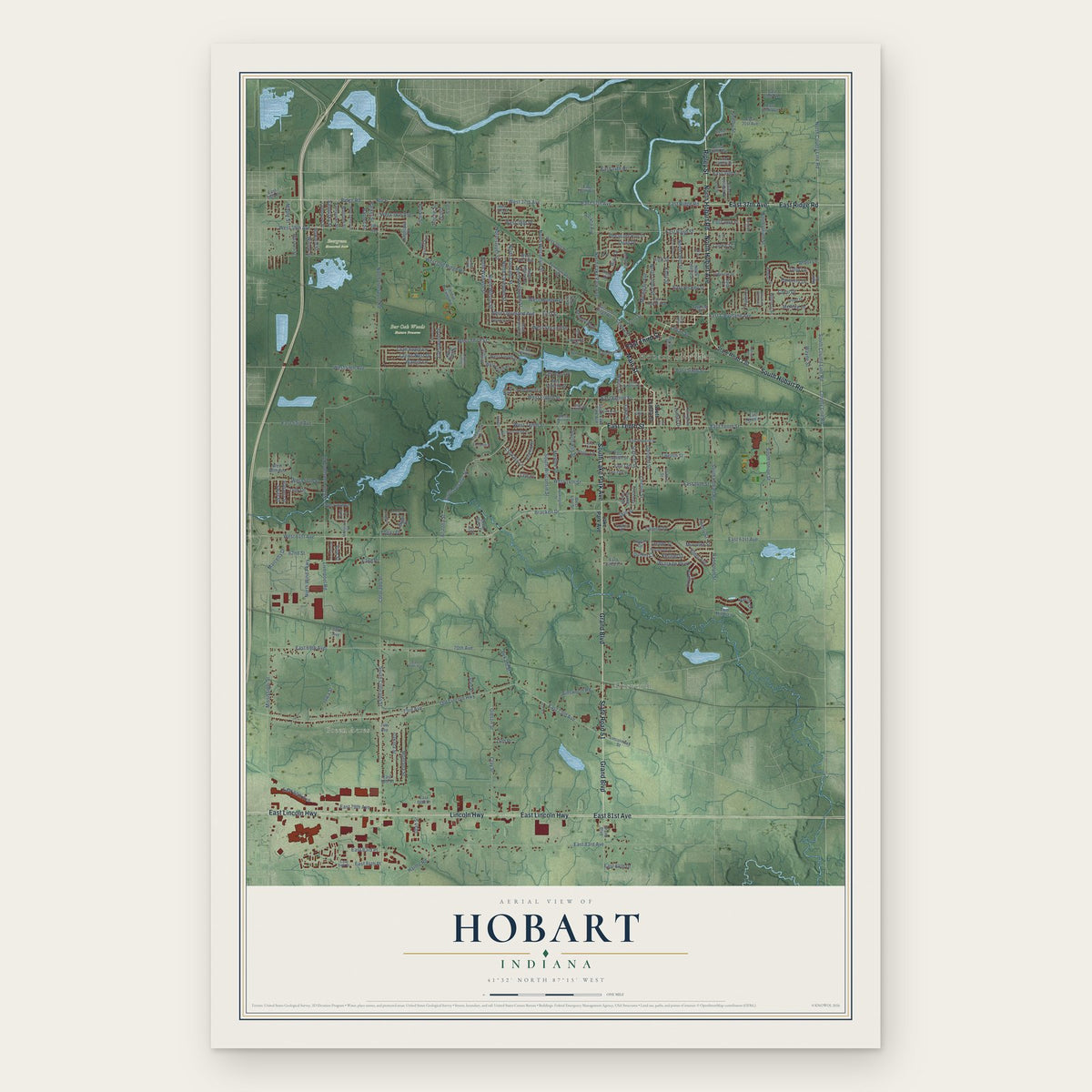
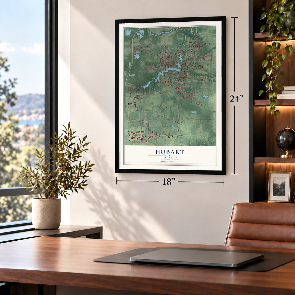
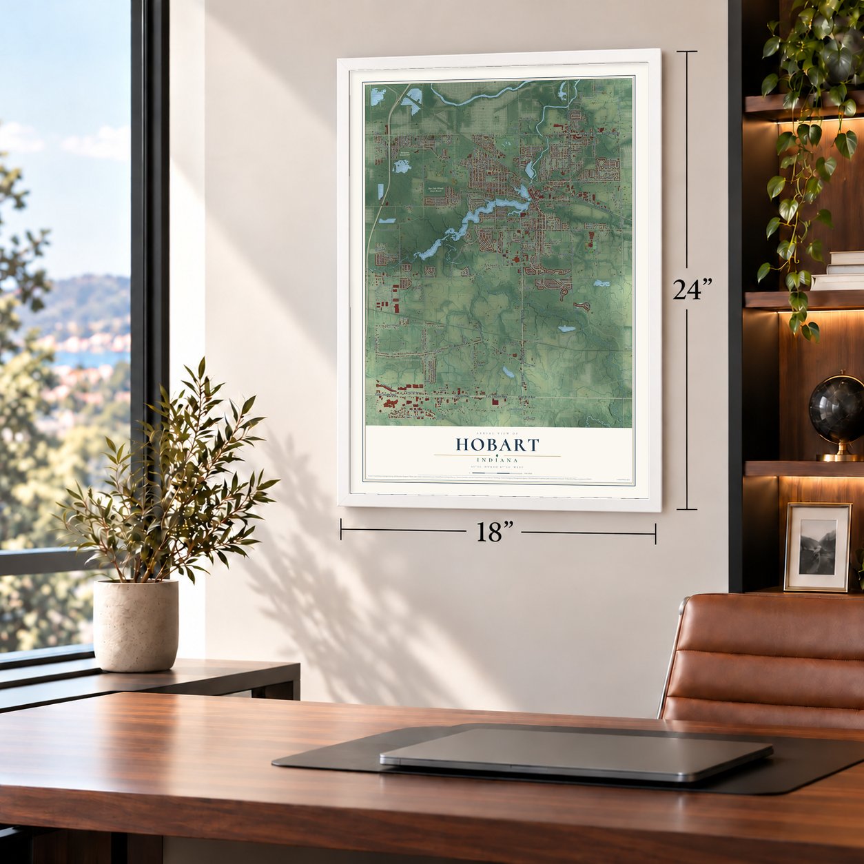
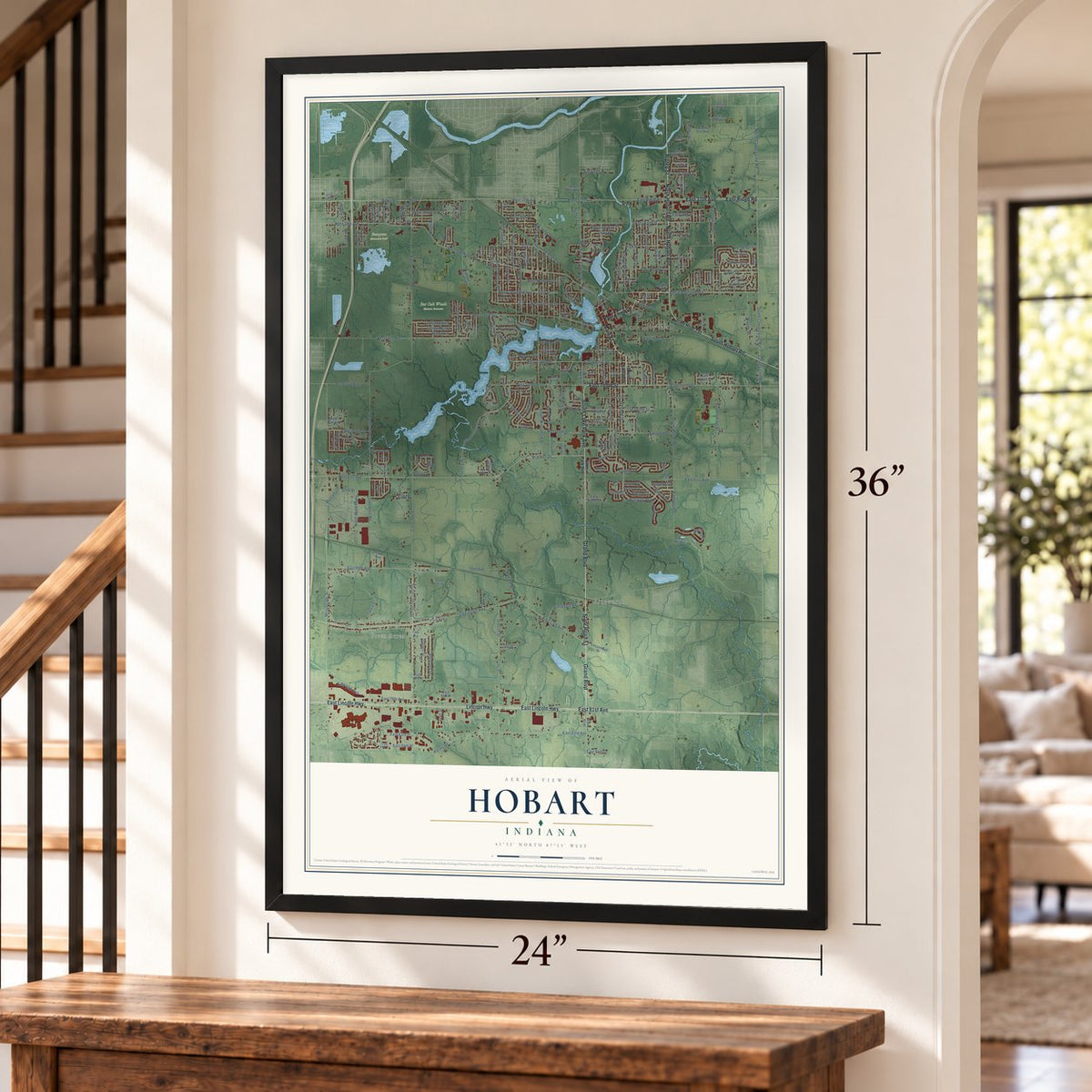
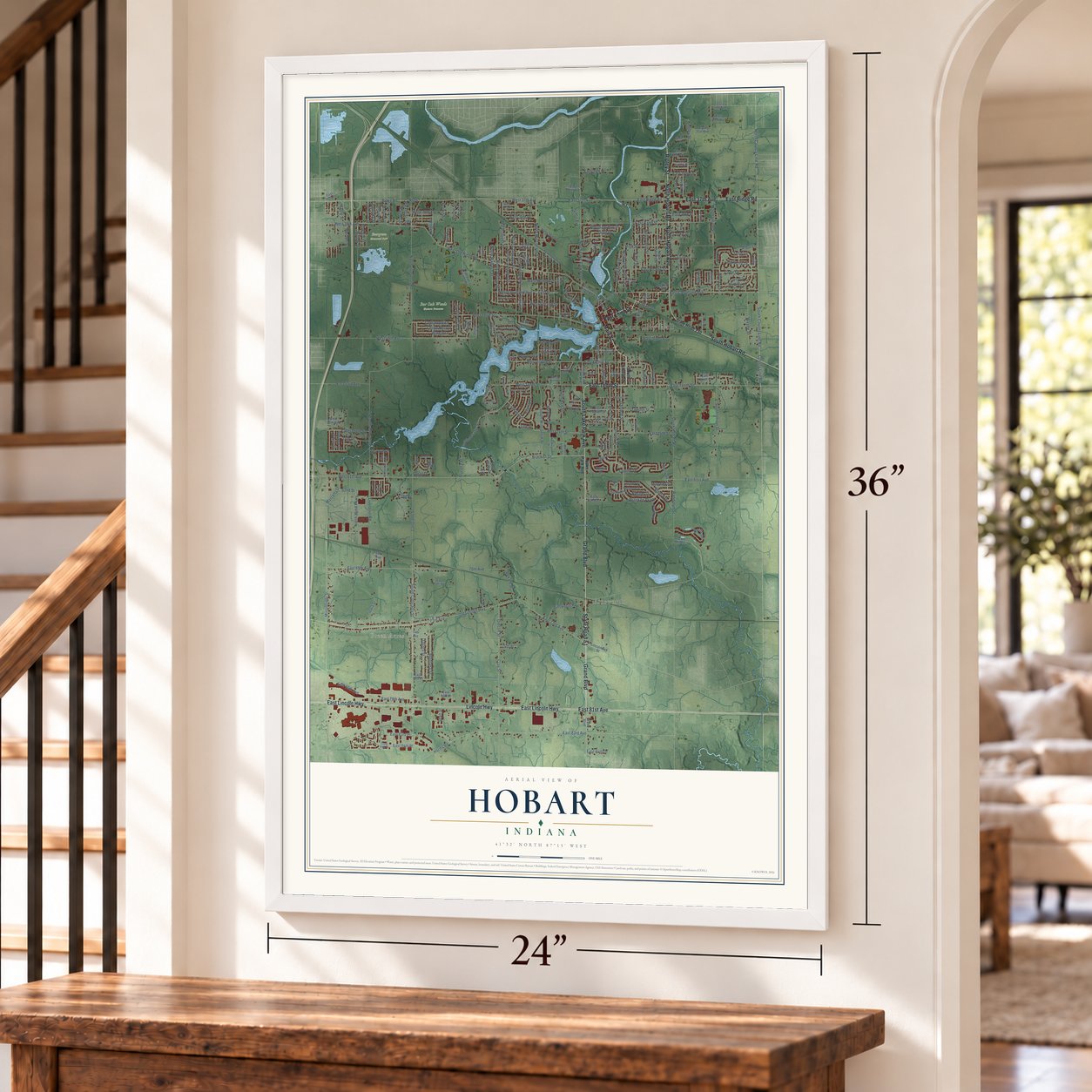
Hobart, Indiana Map Art
Building by building, with labeled streets and shaded relief.
12" x 18" Archival Matte Print
A Map of Home. A Work of Art.
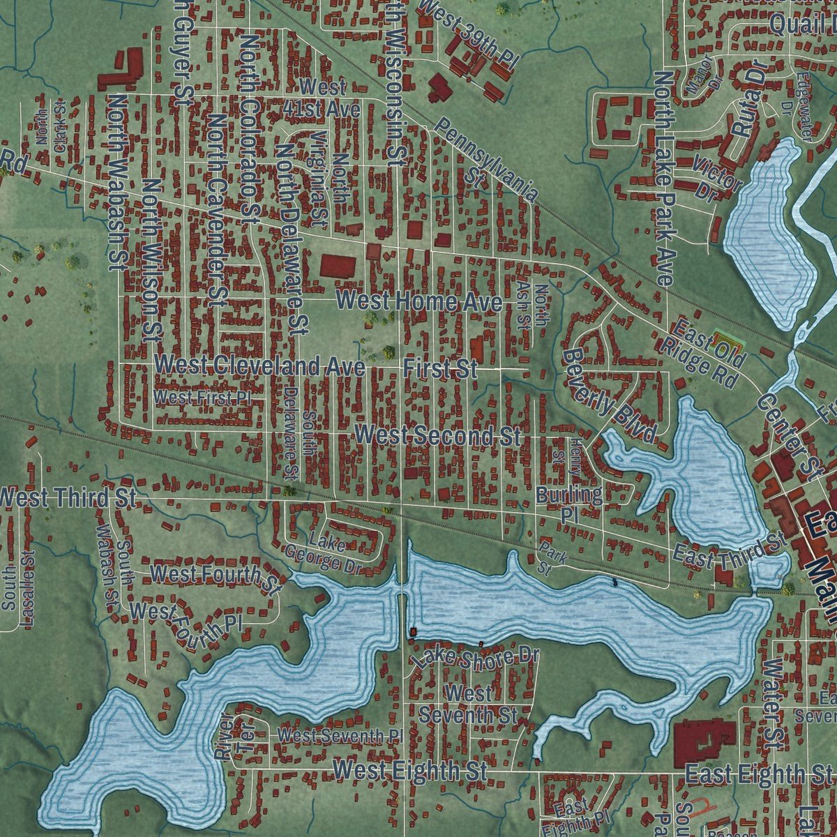
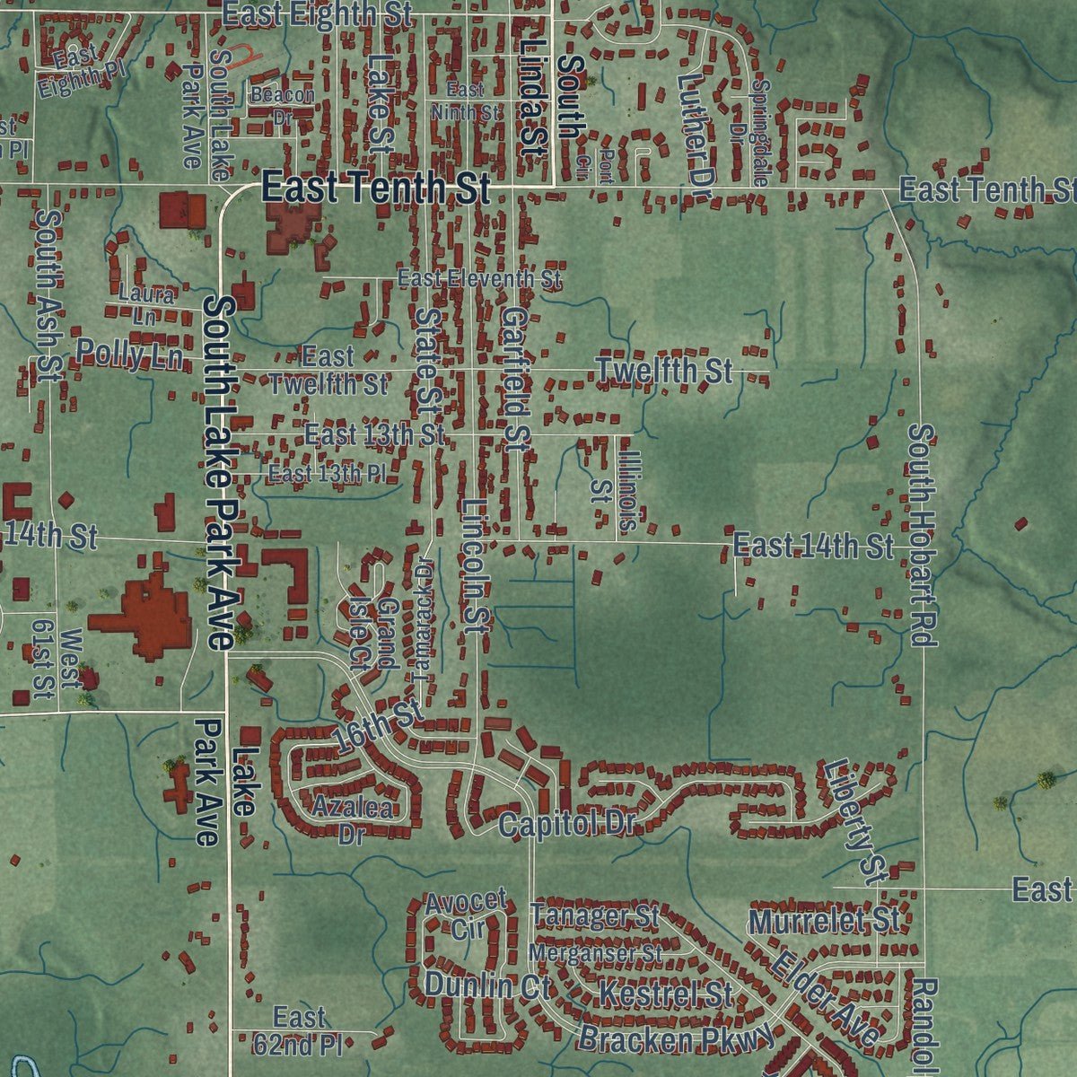
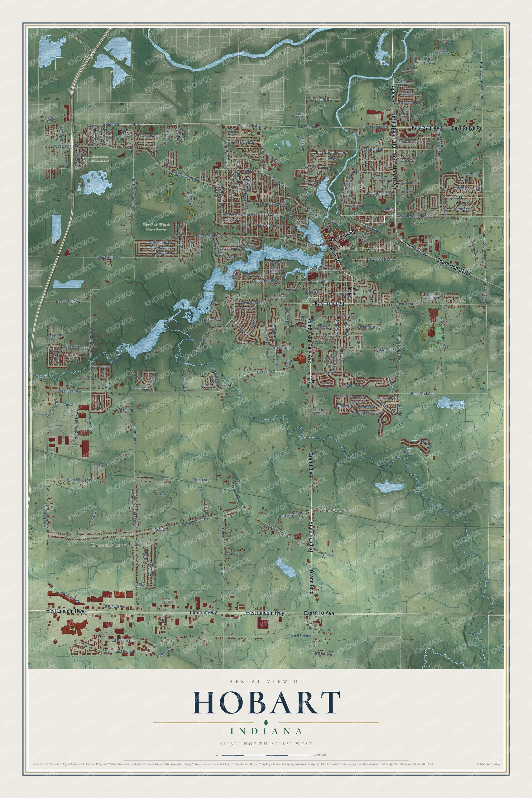
Explore Hobart, Indiana from a whole new perspective. Created using aerial imagery and detailed geographic data, this map captures Hobart building by building, with labeled streets, familiar landmarks, and shaded topographical relief that highlights the natural contours of the landscape.
Combining modern data with the timeless character of a vintage atlas, this map is just as interesting up close as it is beautiful on the wall. Whether you grew up in Hobart, spent memorable years there, or call it home today, this unique map is a great way to celebrate a place that means something to you. Zoom in on the preview to look for your street, and then order a print to put your memories on the wall.
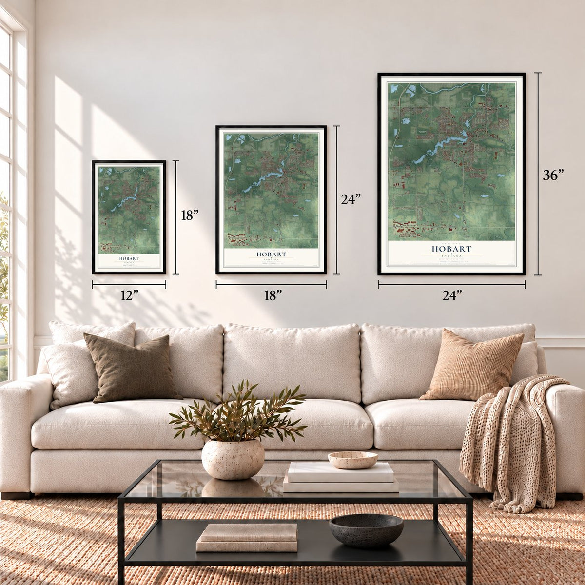
Three ways to hang it
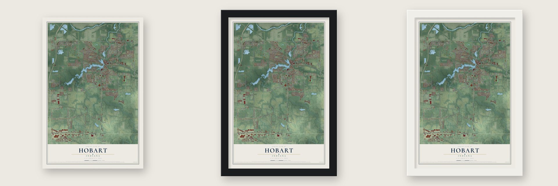
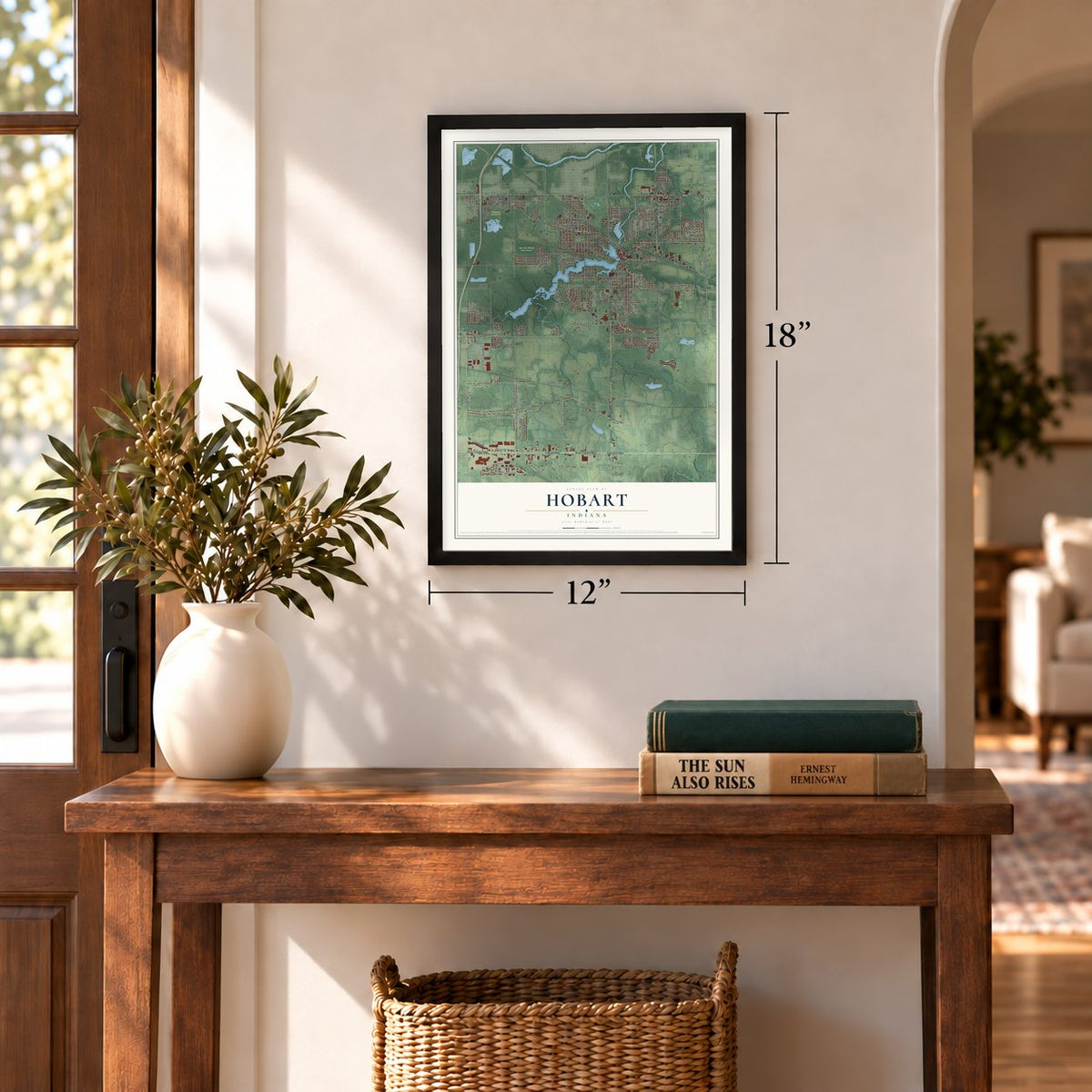
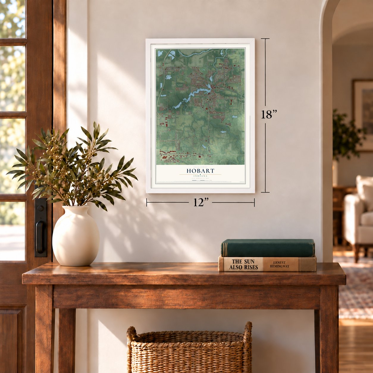
Unframed archival matte, a black wood frame or a white wood frame.
Up close
Geography Worth Displaying
This map was created using accurate cartographic data and authoritative geographic sources, including the U.S. Geological Survey and the Census Bureau. The map brings together terrain, waterways, roads, and building detail. The majority of the streets are labeled, houses are accurately depicted, and the topography is derived from government sources. Combining local data with carefully composed color and shading leads to this beautifully detailed Hobart artwork for your wall.
Rather than simply showing street outlines, we’ve included as many of the street names as we could reasonably fit on the map while keeping their names legible. Zoom in on the high resolution preview to see exactly what’s on the map. We truly set out to create a statement piece for anyone who loves Hobart. So whether it’s for you, or a gift for someone you love, we hope this map of Hobart brings back fond memories.
Read the story behind this map of Hobart, Indiana from 2026.
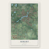
Find your street
Names on the Hobart map
Every name below is printed on this map. Look for your street, your school, the park where you played, or the pond down the road.
Places and landmarks5
- Hobart City Hall
- Green Acres
- Ainsworth
- Bur Oak Woods Nature Preserve
- Evergreen Memorial Park
Streets and roads271
- State Road 51
- Grand Boulevard
- North Hobart Avenue
- Ripley Street
- Main Street
- East Third Street
- North Hobart Road
- East Tenth Street
- South Lake Park Avenue
- East 37th Avenue
- East Ridge Road
- South Hobart Road
- East Lincoln Highway
- East 81st Avenue
- Lincoln Highway
- Bracken Drive
- East Eighth Street
- West Eighth Street
- East Cleveland Avenue
- Route 6
- Ridge Road
- West 37th Avenue
- North Wisconsin Street
- West 61st Avenue
- South County Line Road
- East 61st Avenue
- Arizona Street
- First Street
- West Cleveland Avenue
- Clay Street
Show all 271 streets
- South Decatur Street
- Mississippi Street
- West 39th Avenue
- West 38th Avenue
- West Old Ridge Road
- Csokasy Lane
- Michigan Avenue
- Lillian Street
- North Wabash Street
- Old Lincoln Highway
- West Second Street
- North Guyer Street
- North Colorado Street
- Center Street
- Roche Street
- 73rd Avenue
- East Sixth Street
- Dekalb Street
- Pheasant Run Drive
- 62nd Street
- East 73rd Avenue
- North Wilson Street
- 70th Avenue
- Gibson Street
- 16th Street
- County Line Road
- North County Line Road
- Colorado Street
- Bracken Parkway
- South Colorado Street
- South Liverpool Road
- South Wisconsin Street
- West 49th Avenue
- West Third Street
- East 69th Avenue
- East 83rd Avenue
- East 79th Avenue
- South Ash Street
- East Rand Street
- Lincoln Street
- North Lake Park Avenue
- North Liverpool Road
- West Tenth Street
- North Union Street
- South Union Street
- North Wind Parkway
- Garfield Street
- Liverpool Road
- Shelby Street
- State Street
- Swift Street
- High Street
- North Cavender Street
- East 80th Avenue
- Kelly Street
- East 14th Street
- North Delaware Street
- Maple Street
- Ainsworth Road
- Randolph Street
- West 38th Place
- West 14th Street
- Lake Street
- Willow Street
- West Home Avenue
- Norris Drive
- East 34th Place
- Wayne Street
- East Hickey Street
- McAfee Drive
- Harms Road
- East 83rd Place
- Capitol Drive
- East 53rd Avenue
- North Linda Street
- West 57th Street
- North Ohio Street
- Water Street
- Montana Street
- Medlee Drive
- East 84th Place
- Crab Apple Lane
- Dakota Street
- Coral Drive
- Walnut Lane
- Crows Nest Drive
- Quail Drive
- Crestwood Drive
- Tulip Lane
- Beverly Boulevard
- 14th Lane
- Iowa Street
- East 34th Lane
- East 38th Place
- Utah Street
- Marcella Drive
- Liberty Street
- Barberry Drive
- Aviana Avenue
- Twelfth Street
- Kestrel Street
- Parker Street
- Barnes Street
- Dunlin Court
- Howard Street
- Luther Drive
- Arbor Lane
- Polly Lane
- Murrelet Street
- East 84th Drive
- Sandusky Street
- Ruta Drive
- Elder Avenue
- 13th Place
- Brown Street
- 75th Place
- 62nd Place
- Topaz Drive
- Gill Street
- Cooke Street
- Vine Street
- Lake Park Avenue
- South Linda Street
- State Road 130
- Colbourne Street
- East 33rd Avenue
- River Terrace
- Missouri Street
- East Old Ridge Road
- West 41st Avenue
- Azalea Drive
- Maitland Street
- North Liberty Street
- Pennsylvania Street
- 68th Avenue
- East 80th Place
- Alabama Street
- North Virginia Street
- East 13th Street
- Tanager Street
- East Twelfth Street
- East 34th Avenue
- West 39th Place
- Fraser Lane
- East 62nd Place
- Virginia Street
- Field of Dreams Road
- West Fourth Place
- Avocet Circle
- Division Street
- West Third Place
- 74th Avenue
- East Home Avenue
- West Fourth Street
- Front Street
- Lake Shore Drive
- Saint Joseph Place
- Lincolnway Street
- West 61st Street
- Ridgelawn Drive
- Grosbeak Court
- East Ninth Place
- East 31st Avenue
- 39th Avenue
- East 36th Avenue
- Evergreen Street
- West Seventh Street
- Amber Drive
- Deep River Drive
- Victor Drive
- West 16th Street
- Hillcrest Street
- Lakeview Drive
- East Miller Lane
- East 30th Avenue
- Poplar Lane
- East 78th Place
- East 29th Avenue
- West 56th Avenue
- State Place
- Burling Place
- 32nd Court
- Illinois Street
- Jackson Street
- Ryan Court
- Rush Court
- Grand Isle Court
- Vine Court
- Ian Drive
- East 36th Place
- South Wabash Street
- Lake George Drive
- East 84th Street
- Tamarack Drive
- Minnesota Street
- West Seventh Place
- East Eleventh Street
- Drexel Drive
- Sullivan Street
- East Eighth Place
- Washington Street
- East Seventh Street
- Montgomery Street
- West Tenth Place
- Springdale Drive
- Merganser Street
- South Lasalle Street
- East 13th Place
- North Ash Street
- South Delaware Street
- West First Place
- West Hansen Boulevard
- Eleventh Place
- Rush Place
- Laura Lane
- East 70th Avenue
- West 37th Place
- Spencer Place
- West Ninth Place
- Krefft Street
- Elm Avenue
- Metz Court
- Park Street
- South Ohio Street
- Edgewater Drive
- South Indiana Street
- North Indiana Street
- Beacon Drive
- Wisconsin Street
- East Ninth Street
- Manor Drive
- Woodland Lane
- Emerald Drive
- Rush Street
- North Clark Street
- Pembroke Drive East
- North Street
- Sapphire Court
- Floyd Place
- Henry Street
- Port Circle
Names are listed as they appear on the printed map. Zoom into the product photos to find them.
About Hobart, Indiana
Hobart is a city of 29,752 people in Lake County, about 31 miles southeast of Chicago. George Earle, an immigrant from England, bought the land here from the Potawatomi, and a dam on Deep River backed up the water to form Lake George. The town was platted in 1849, and Earle named it for his brother, Frederick Hobart Earle, who stayed in England all his life.
Hobart built its first school in 1878. The community incorporated as a town in 1889 and became a city in 1921. Lake George still sits at the heart of town, where people walk the waterfront and gather for summer concerts at the Revelli Bandshell and beside the Lakefront Park clock tower.
- First rural mail in the WestThe first rural free delivery route in the West started from Hobart. Mr. Banks, president of the First State Bank of Hobart, drew up the petition and wrote to Congressman Crumpacker, and the Post Office Department chose Hobart for its experiment in this part of the country. Lake County's first gravel road also ended in Hobart, running eleven miles north to Lake Michigan.
- Rides to school in 1897In 1897 Banks led the effort that gave Indiana its first practical trial of free rides to school. A wagon brought in the children who lived along one road to the Hobart schools, and the idea later spread to nearly every county in the state. By the time the county history was written, five buses ran the roads out of Hobart.
- Why they're the BrickiesHobart High School students are called the Brickies, after the brickyards that once stood on the north side of the city near Cressmoor Prairie. Early in the twentieth century the school band, led by William Revelli, won national Sousa band competitions, and Revelli went on to lead the University of Michigan band.
Keep exploring Indiana
Hobart is one of 1,023 Indiana towns we've mapped. Every dot on the map is a print of its own.
The search covers every state, Indiana first.
Near Hobart
Order 2 or more town maps and save 10%. Shown in the size and finish you picked above, so they hang as a set.
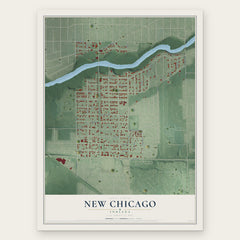
- New Chicago 12" x 18" / Archival Matte Print $39.99
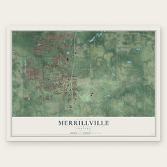
- Merrillville 12" x 18" / Archival Matte Print $39.99
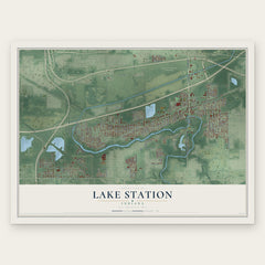
- Lake Station 12" x 18" / Archival Matte Print $39.99
More maps nearby: Pulaski, Ross, Aetna, Wheeler and Midtown.
The art of mapping a place
How This Map Was Made
Real places. Remarkable detail. Discover the layers that turn geographic data into a map of home.

The view from above
Aerial imagery reveals the character of the land: woodland, open fields, and the patterns of a place.

The shape of the land
Elevation data brings hills, valleys, and subtle changes in the landscape into view.

The details of home
Roads, waterways, and building footprints come together to make the map feel unmistakably local.

Geography becomes art
Considered color, shading, and typography bring the layers together in a map made for your wall.


Process illustrated with Mendon, Massachusetts. Aerial imagery: USDA NAIP. Terrain: USGS 3D Elevation Program. Map details and finished artwork: KNOWOL.
The Details
About This Print
Choose an archival matte print, or a black or white Ayous wood frame. The archival matte print is unframed.
Select your size and finish above to see the matching product image and price.
Materials & Craftsmanship
A contemporary map with the character of a classic atlas, printed on archival matte paper. Optional frames are made from Ayous wood.
Your printed map does not include the watermark shown in the full-map preview.
Shipping & Delivery
Free shipping within the United States. Every print is made to order in the USA.
Buying a gift? Add a note in your cart and we'll include it. We never put prices in the package.
Prints ship within 2 to 3 business days. Allow 7 to 10 days total from ordering for delivery. Timing may vary during holidays or periods of high order volume.
Read our shipping policy.
Returns and damaged prints
Each print is made to order. Change-of-mind refunds are not available after production.
If your print arrives damaged, misprinted or incorrect, contact support@knowol.com within 30 days of receiving it. Include your order number, photos and a description of the issue.
Read our full refund and replacement policy. For questions about your order, email support@knowol.com.