
Search for another town





Free U.S. delivery 7 to 10 days after you order
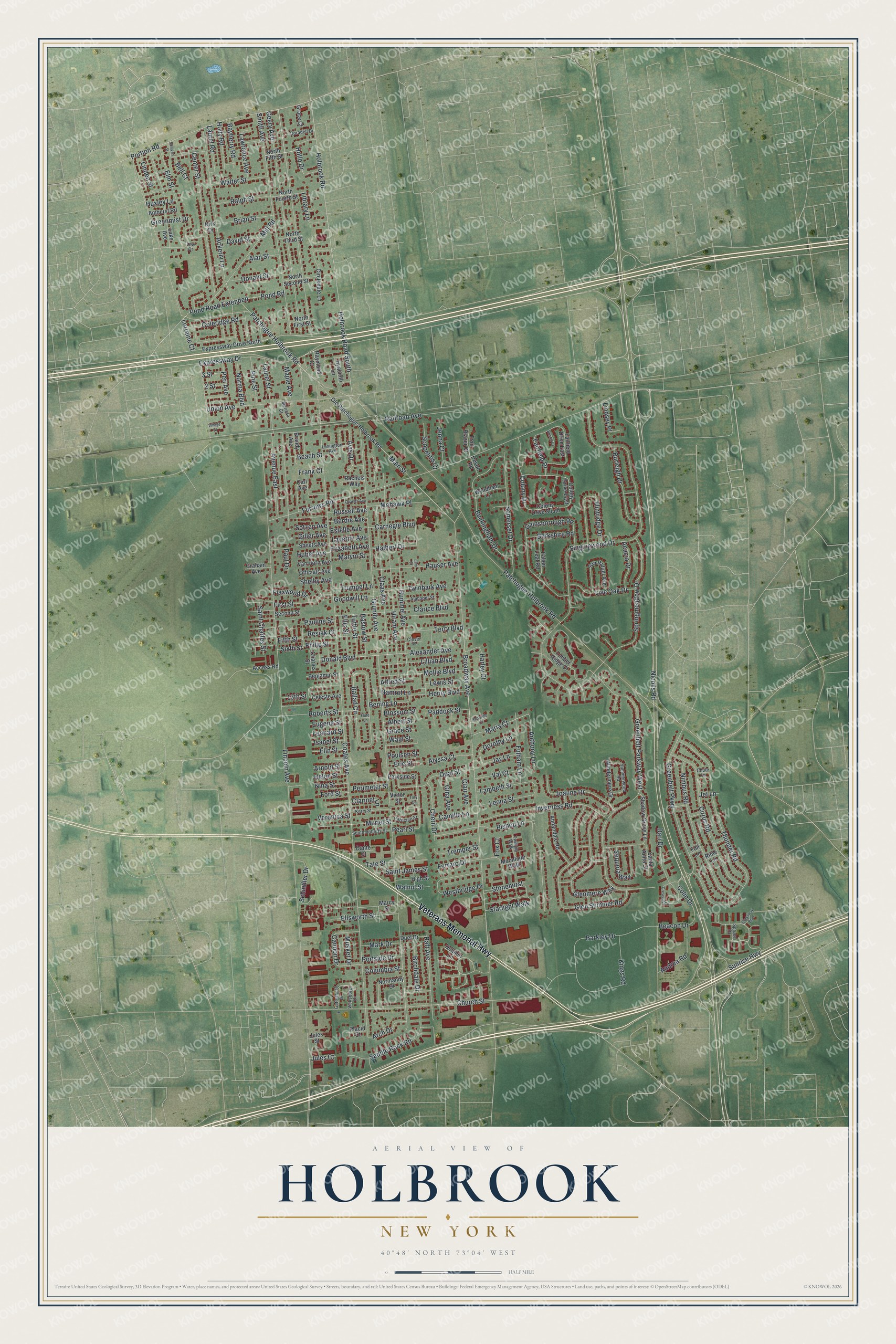
Holbrook, New York Map Art
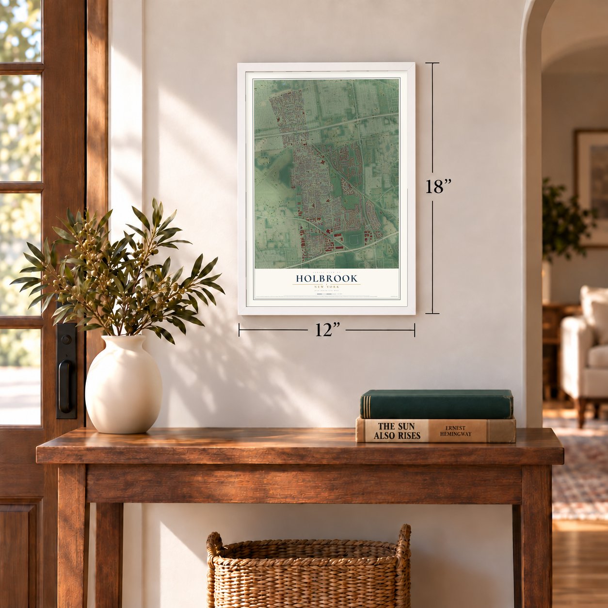
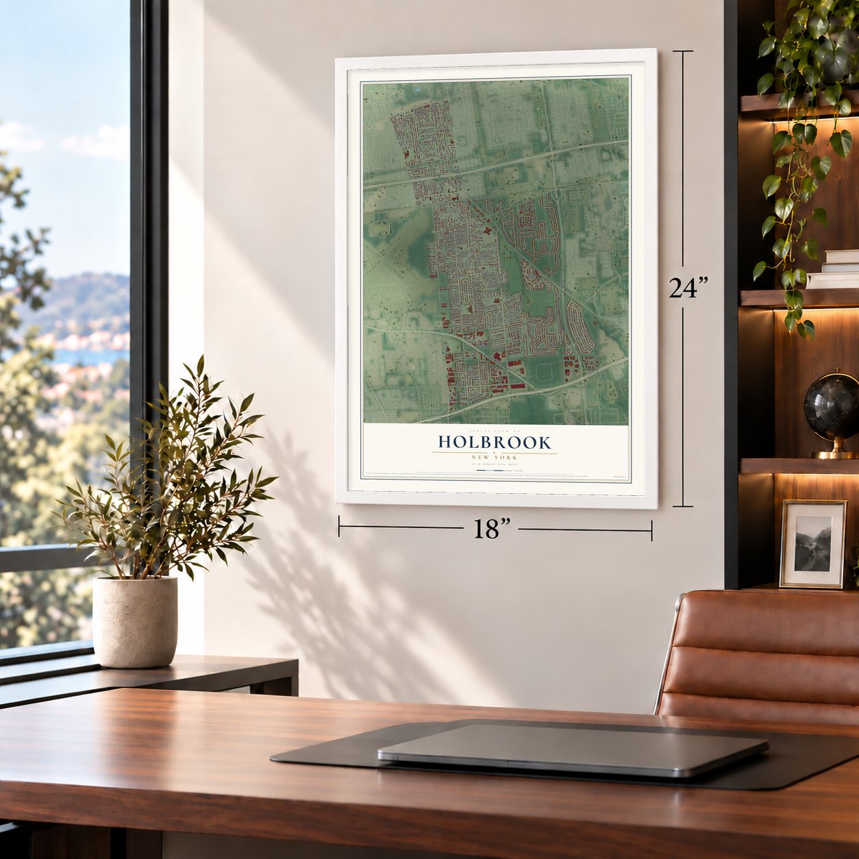
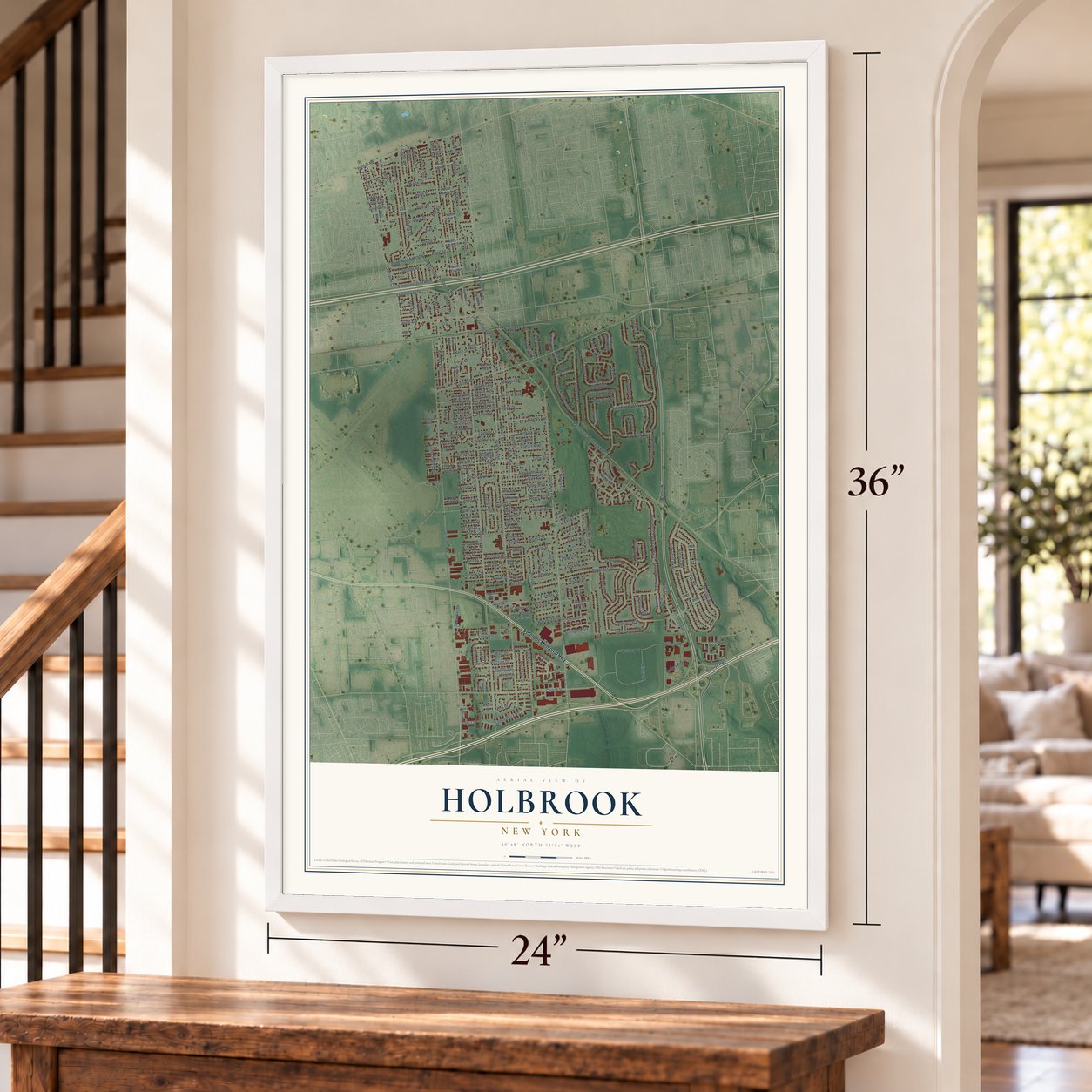
A new map of Holbrook, New York, made in 2026 and printed to order on thick archival matte paper.
12" x 18" Archival Matte Print
A Map of Home. A Work of Art.
Bring a piece of Holbrook home. Whether it’s where you grew up, your current home, or simply a moment in your life, this Holbrook, New York map print brings those memories to your wall. Antique-inspired styling and modern geographic detail combine to create artwork that’s beautiful from across the room, with plenty to study and explore when you get up close.
Three ways to hang it
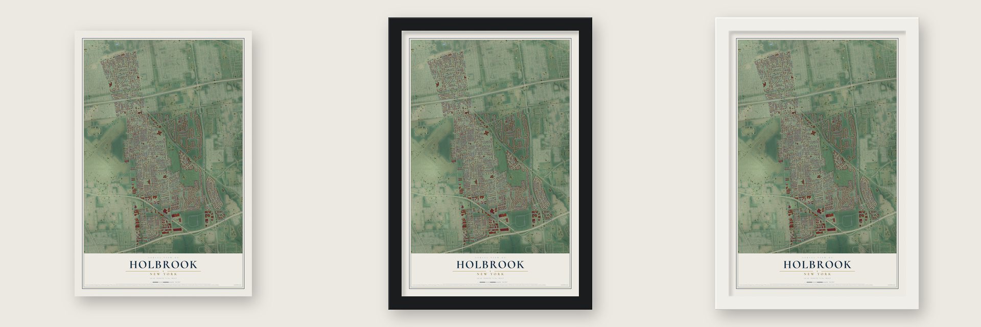
Unframed archival matte, a black wood frame or a white wood frame.
Up close
Real geography. Art worth displaying.
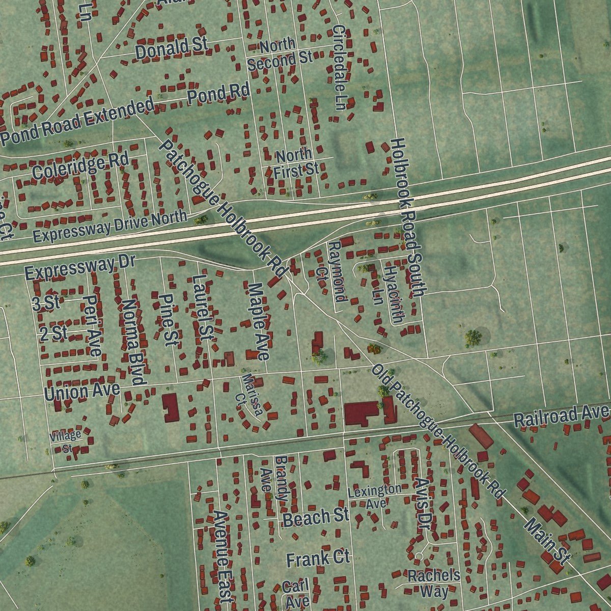
This map was created using accurate cartographic data and authoritative geographic sources, including the U.S. Geological Survey (USGS) and FEMA. The map brings together terrain, waterways, roads, and building detail. The majority of the streets are labeled, houses are accurately depicted, and the topography is derived from government sources. Combining local data with carefully composed color and shading leads to this beautifully detailed Holbrook artwork for your wall.
Rather than simply showing street outlines, we’ve included as many of the street names as we could reasonably fit on the map while keeping their names legible. Zoom in on the high resolution preview to see exactly what’s on the map. We truly set out to create a statement piece for anyone who loves Holbrook. So whether it’s for you, or a gift for someone you love, we hope this map of Holbrook brings back fond memories.
Explore the full map of Holbrook, New York and read about the local places it shows.

About Holbrook, New York
Holbrook is a hamlet and census-designated place (CDP) within the Towns of Brookhaven and Islip, in Suffolk County, New York, United States. These details place Holbrook within the local story recorded for the community.
- Roads through townThe source names Veterans Memorial Highway and Nicolls Road among the local routes.
- A New York communityThe source identifies Holbrook as a place in New York.
Find your street
Names on the Holbrook map
Every name below is printed on this map. Look for your street, your school, the park where you played, or the pond down the road.
Streets and roads267
- Veterans Memorial Highway
- Nicolls Road
- Maria Court
- Smith Avenue
- Carnegie Boulevard
- Lorraine Court
- Railroad Avenue
- Coates Avenue
- Lincoln Avenue
- Grundy Avenue
- Broadway Avenue
- Sunrise Highway
- Patchogue-Holbrook Road
- Patchogue Holbrook Road
- Furrows Road
- Singingwood Drive
- Greenbelt Parkway West
- Holbrook Road
- Holbrook Road South
- Church Street
- Springmeadow Drive
- Thunder Road
- Geery Avenue
- Claas Avenue
- Hiram Avenue
- Bishop Lane
- Main Street
- Portion Road
- Colony Drive
- Ackerly Lane
Show all 267 streets
- Glen Summer Road
- Greenbelt Parkway
- Barkley Drive
- Center Street
- Ballad Circle
- Gainsborough Road
- Cirrus Road
- Nimbus Road
- Expressway Drive
- Union Avenue
- Alexander Avenue
- Donald Boulevard
- Inverness Road
- Buckingham Drive
- Glenmere Way
- Terry Boulevard
- Somerset Drive
- Raft Avenue
- Hummel Avenue
- Beacon Drive
- Clarice Boulevard
- Mill Road
- Pond Road
- Pond Road Extended
- Flintridge Drive
- Westbridge Drive
- First Street
- Laurel Street
- Opal Street
- Saddle Rock Road
- Joanne Drive
- Mollie Boulevard
- Burleigh Drive
- Hauser Avenue
- Avenue East
- Cannon Drive
- Pine Street
- Muriel Street
- Roberts Street
- Lillian Boulevard
- Twinbark Avenue
- Avis Drive
- Lambeth Street
- Sequoia Way
- Fulham Lane
- Greenmist Drive
- Live Oak Drive
- Pearl Street
- Schindler Drive
- Tate Street
- Hollo Drive
- Mohawk Place
- Andrea Road
- Clarinet Lane
- Elm Street
- Coleridge Road
- Cheril Drive
- Henry Boulevard
- Ralph Street
- Brian Street
- Walter Street
- Dari Drive
- Fairfield Drive
- Leona Street
- Saint James Street
- Starlight Walk
- Lawrence Avenue
- Donald Street
- Birchdale Drive
- Anthony Lane
- Saint Charles Street
- Paul Drive
- Dorothy Lane
- Laurel Road
- Tremper Street
- Bayberry Road
- Acacia Drive
- Scopelitis Court
- Fifth Street
- Kings Road
- Library Lane
- Ellsworth Street
- Harley Court
- Berkshire Road
- Norma Boulevard
- Holly Road
- Halbert Drive
- Bening Lane
- Val Court
- Alyssa Court
- Paddock Street
- Arch Drive
- Camille Lane
- Ferraro Drive
- Clair Avenue
- Ellis Street
- Tuttle Street
- Bastow Street
- Stonehurst
- Colin Drive
- David Street
- Gina Avenue
- Flaxwood Drive
- Linden Street
- Lindsey Place
- Jenna Court
- Columbia Street
- Russell Avenue
- Laverne Avenue
- Estelle Avenue
- Portside Drive
- Trumpet Lane
- Berdie Avenue
- Goodwill Lane
- Elizabeth Avenue
- Marvin Street
- Mark Drive
- Perimeter Street
- Maple Avenue
- Jay Lane
- Peri Avenue
- Alan Street
- Walnut Street
- Philip Street
- Shelby Avenue
- Helen Street
- Ford Street
- Nina Street
- Veronica Street
- Resiak Court
- Leonard Street
- Pauline Street
- Arnold Street
- Elin Street
- Eugene Street
- Sotzen Avenue
- Giller Avenue
- Huber Avenue
- Isabel Street
- Blossom Street
- Albert Street
- Grace Street
- Musket Drive
- Erie Street
- Poulsen Street
- Alfred Street
- Namrof Lane
- Wald Street
- Huxley Lane
- Bell Court
- Lewis Street
- Beach Street
- Jules Court
- 13th Street
- Sixth Street
- Frank Court
- Fox Court
- 3 Street
- 2 Street
- Jet Lane
- Dolphin Lane
- North Fifth Street
- Old Patchogue-Holbrook Road
- Expressway Drive North
- Timber Ridge Drive
- Shadow Grove Lane
- Annandale Road
- Celeste Avenue
- Fairfield Drive East
- Circledale Lane
- San Rafael Avenue
- Second Street
- Moonlight Walk
- Fallen Leaf Road
- Normandy Drive
- Marcy Street
- Lake Avenue
- Windermere Drive
- Colony Drive South
- Parkside Street
- Hyacinth Lane
- Carl Avenue
- North Second Street
- Grace Court
- Officials Avenue
- Van Horn Avenue
- Sheets Avenue
- Benjamin Street
- North Fourth Street
- High Street
- Santa Anita Court
- Brandy Avenue
- Wyndham Lane
- Colony Drive East
- Raymond Court
- Amherst Road
- Trail Blazer Court
- North First Street
- Graham Avenue
- Access Road
- Duel Drive
- North Third Street
- Rachels Way
- Placid Court
- Charles Street
- Devon Road
- Dante Court
- Jules Street
- Victor Street
- Foil Lane
- Rime Lane
- Kirk Drive
- Spruce Drive
- Summerwood Road
- South Roberts Street
- Kerry Street
- Gettysburg Drive
- Vicksburg Drive
- Alphabet Street
- Patrician Street
- Twilight Walk
- Lexington Avenue
- Doradell Drive
- Marissa Court
- Clover Place
- Chute Lane
- Lew Court
- Crescent Circle
- Crossway Boulevard
- Charles Avenue
- Bristol Court
- Bookville Court
- Sullivan Street
- Flute Lane
- Village Street
- Tory Court
- Jem Court
Names are listed as they appear on the printed map. Zoom into the product photos to find them.
The art of mapping a place
How This Map Was Made
Real places. Remarkable detail. Discover the layers that turn geographic data into a map of home.

The view from above
Aerial imagery reveals the character of the land: woodland, open fields, and the patterns of a place.

The shape of the land
Elevation data brings hills, valleys, and subtle changes in the landscape into view.

The details of home
Roads, waterways, and building footprints come together to make the map feel unmistakably local.

Geography becomes art
Considered color, shading, and typography bring the layers together in a map made for your wall.


Process illustrated with Mendon, Massachusetts. Aerial imagery: USDA NAIP. Terrain: USGS 3D Elevation Program. Map details and finished artwork: KNOWOL.
The Details
About This Print
Choose an archival matte print, or a black or white Ayous wood frame. The archival matte print is unframed.
Select your size and finish above to see the matching product image and price.
Materials & Craftsmanship
A contemporary map with the character of a classic atlas, printed on archival matte paper. Optional frames are made from Ayous wood.
Your printed map does not include the watermark shown in the full-map preview.
Shipping & Delivery
Free shipping within the United States. Every print is made to order in the USA.
Buying a gift? Add a note in your cart and we'll include it. We never put prices in the package.
Prints ship within 2 to 3 business days. Allow 7 to 10 days total from ordering for delivery. Timing may vary during holidays or periods of high order volume.
Read our shipping policy.
Returns and damaged prints
Each print is made to order. Change-of-mind refunds are not available after production.
If your print arrives damaged, misprinted or incorrect, contact support@knowol.com within 30 days of receiving it. Include your order number, photos and a description of the issue.
Read our full refund and replacement policy. For questions about your order, email support@knowol.com.
Find your town
Looking for another city?
Find a map of home in our New York collection.
Nearby
Maps of towns near Holbrook
Know someone from one of these towns? Their map makes a great gift.
 Holtsville
, New York
From $39.99See the map
 North Patchogue
, New York
From $39.99See the map
 Ronkonkoma
, New York
From $39.99See the map
More maps nearby: Sayville, Lake Ronkonkoma, Patchogue, Bayport and Farmingville.