
Search for another town
Free U.S. delivery 7 to 10 days after you order
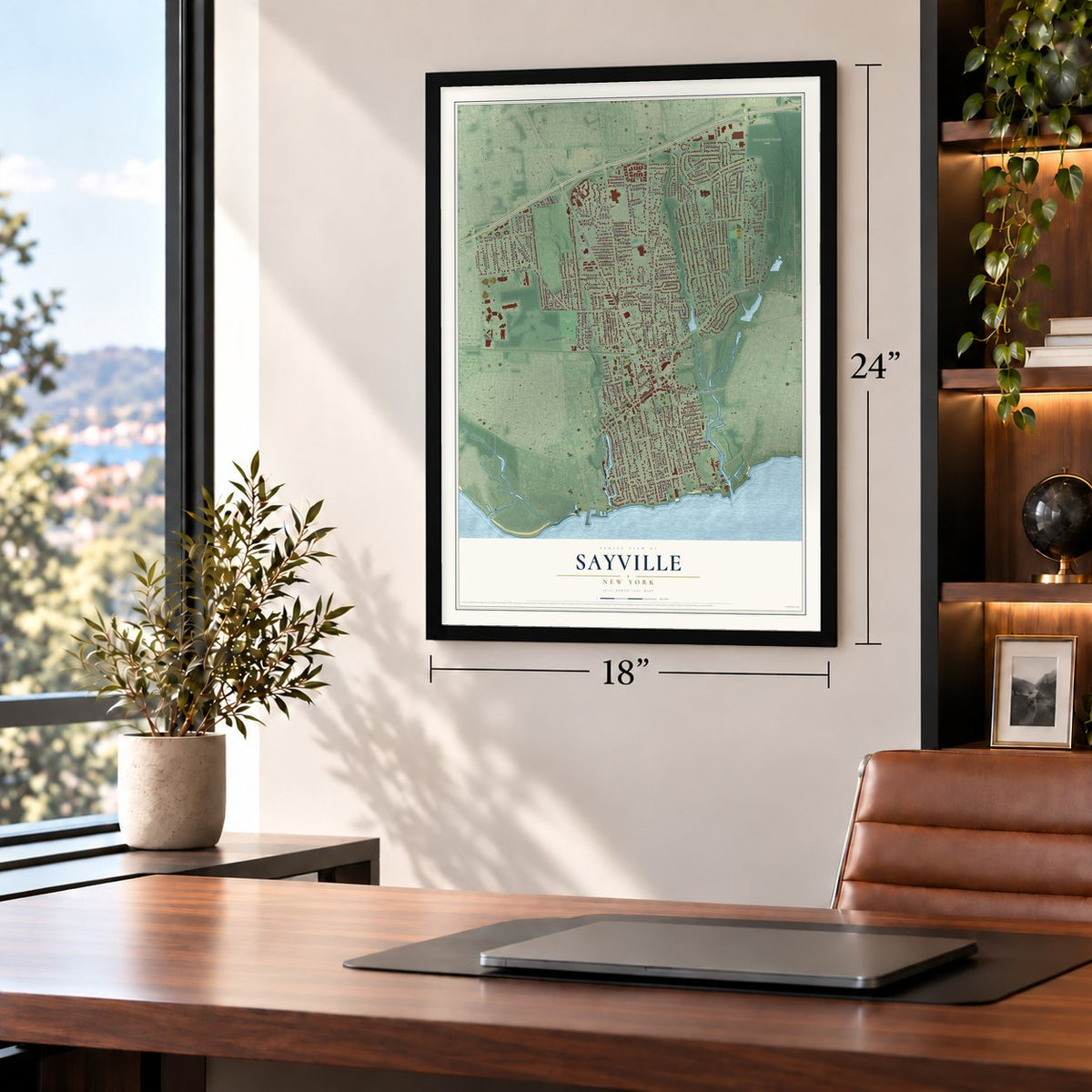
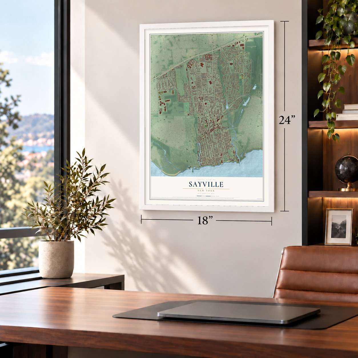
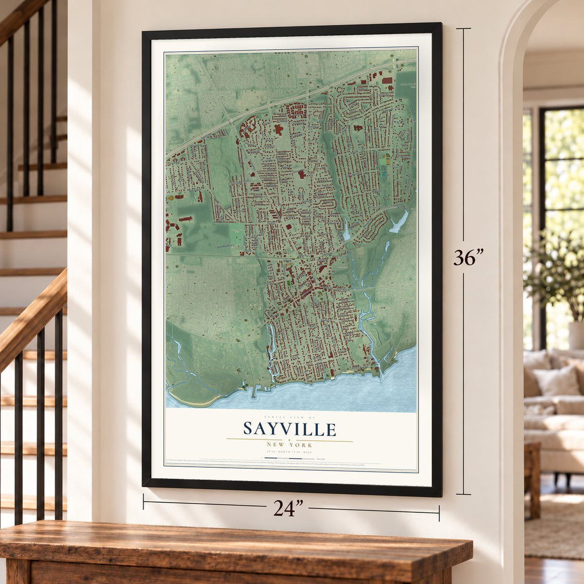
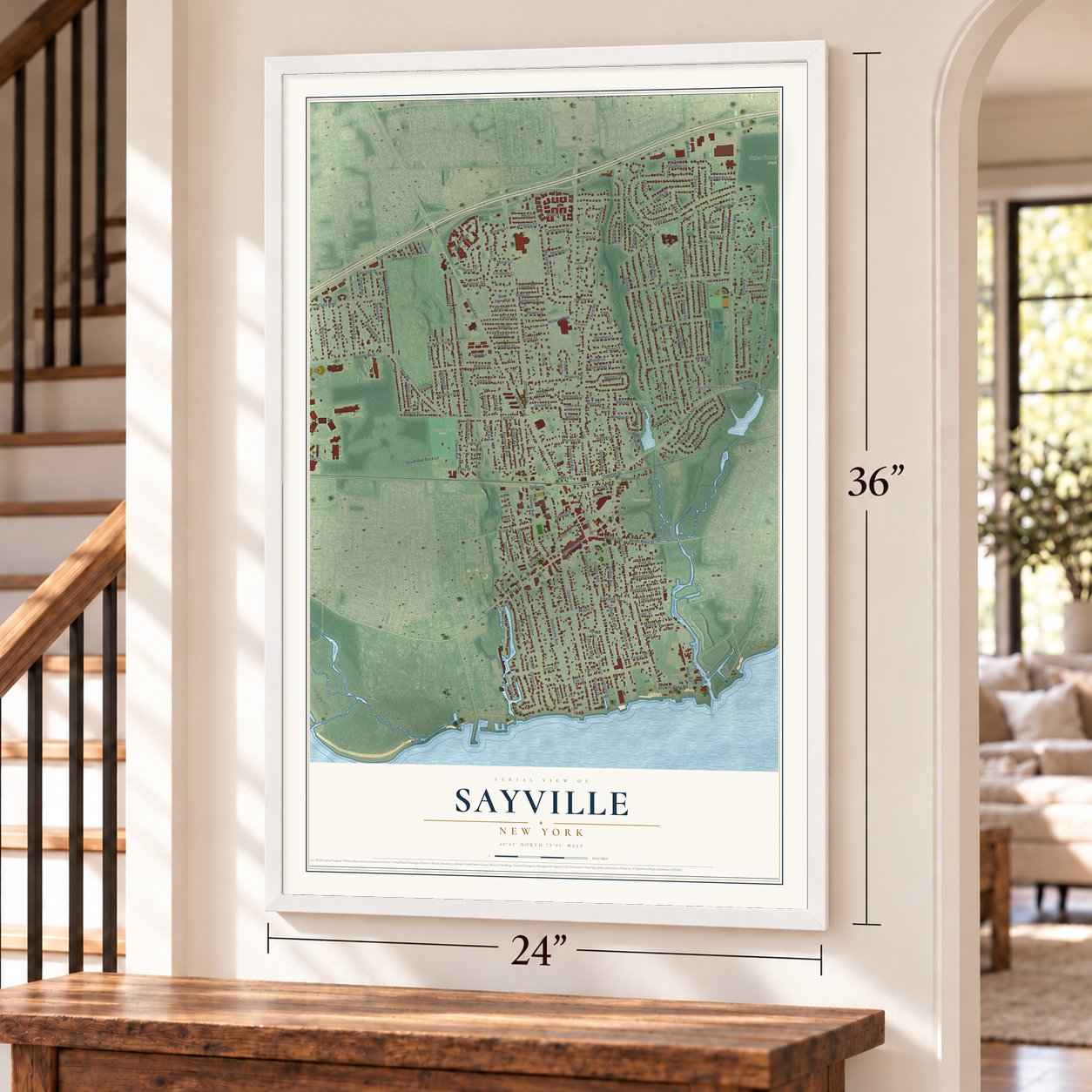
Sayville, New York Map Art
Building by building, with labeled streets and shaded relief.
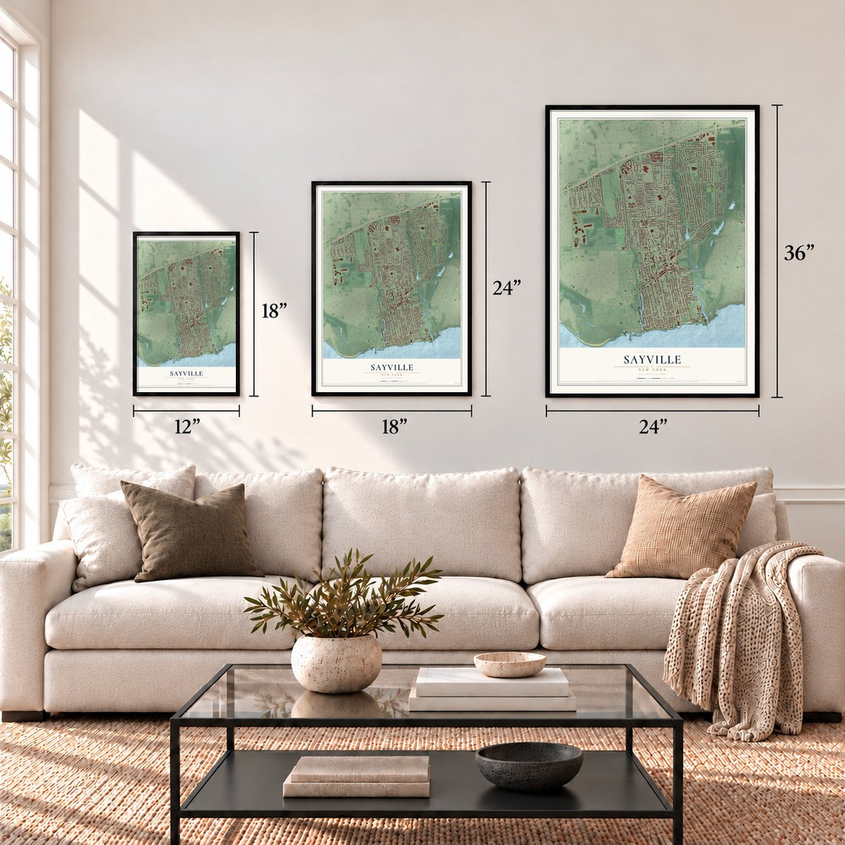
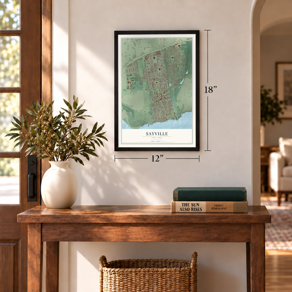
12" x 18" Archival Matte Print
A Map of Home. A Work of Art.
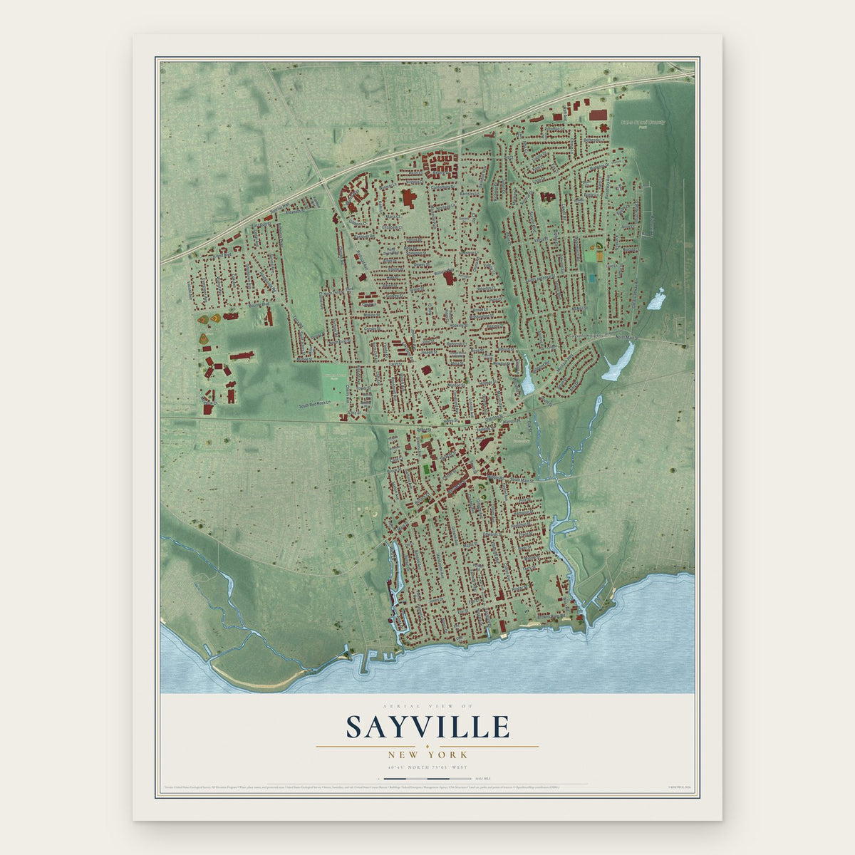
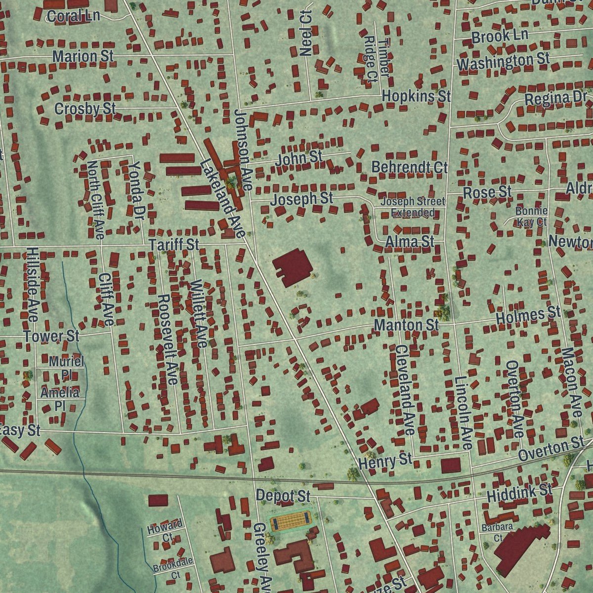
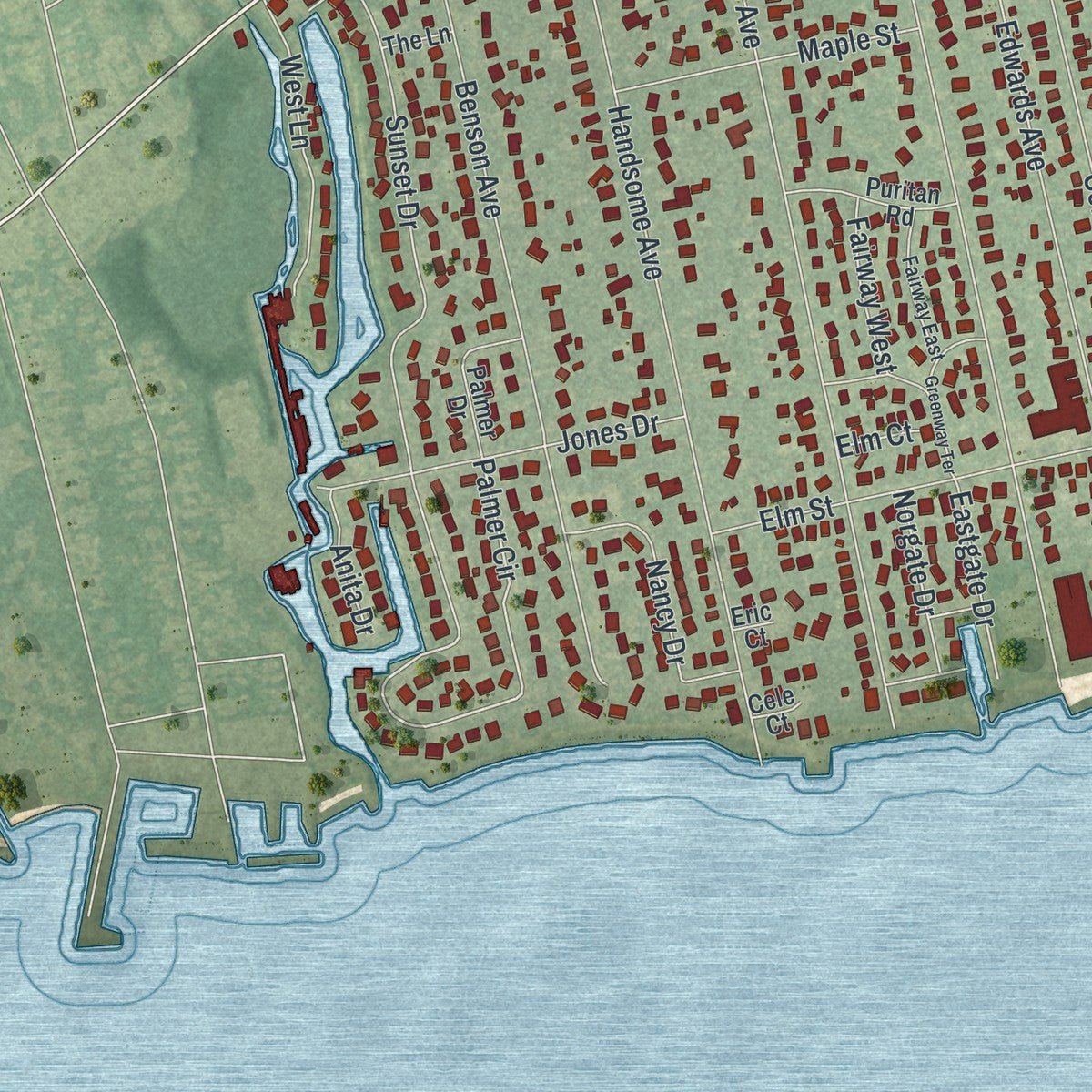
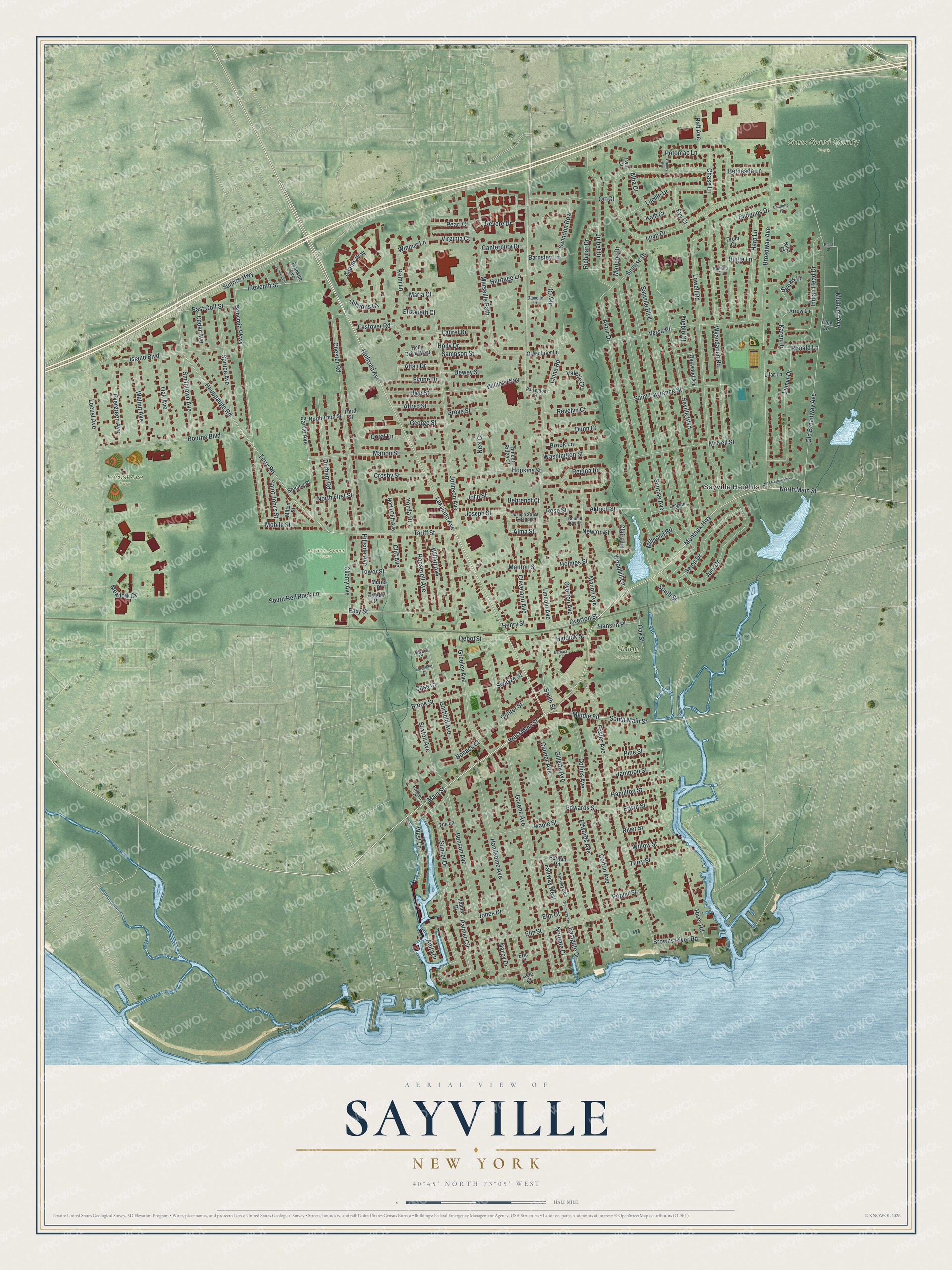
Explore Sayville, New York from a whole new perspective. Created using aerial imagery and detailed geographic data, this map captures Sayville building by building, with labeled streets, familiar landmarks, and shaded topographical relief that highlights the natural contours of the landscape.
Combining modern data with the timeless character of a vintage atlas, this map is just as interesting up close as it is beautiful on the wall. Whether you grew up in Sayville, spent memorable years there, or call it home today, this unique map is a great way to celebrate a place that means something to you. Zoom in on the preview to look for your street, and then order a print to put your memories on the wall.
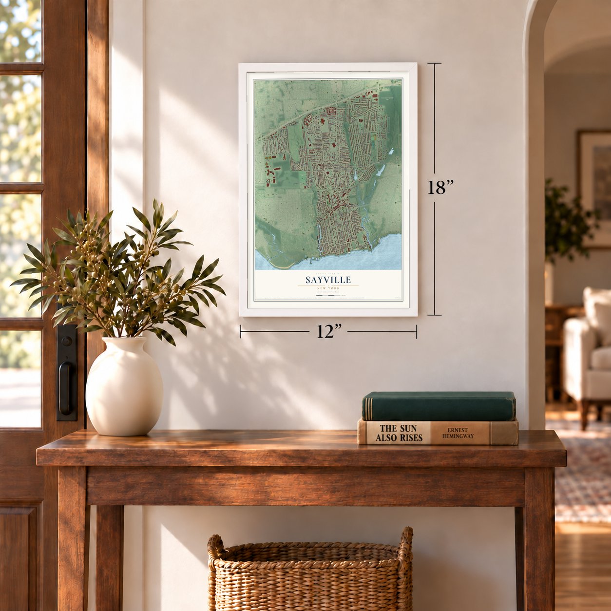
Three ways to hang it
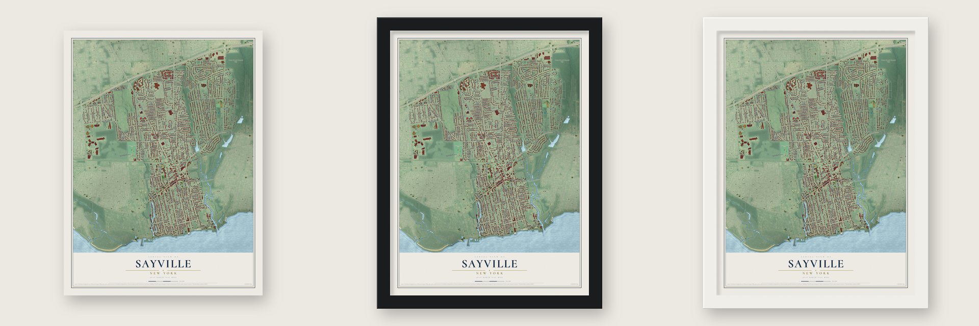
Unframed archival matte, a black wood frame or a white wood frame.
Up close
Geography Worth Displaying
This map was created using accurate cartographic data and authoritative geographic sources, including the U.S. Geological Survey (USGS) and FEMA. The map brings together terrain, waterways, roads, and building detail. The majority of the streets are labeled, houses are accurately depicted, and the topography is derived from government sources. Combining local data with carefully composed color and shading leads to this beautifully detailed Sayville artwork for your wall.
Rather than simply showing street outlines, we’ve included as many of the street names as we could reasonably fit on the map while keeping their names legible. Zoom in on the high resolution preview to see exactly what’s on the map. We truly set out to create a statement piece for anyone who loves Sayville. So whether it’s for you, or a gift for someone you love, we hope this map of Sayville brings back fond memories.
Explore the full map of Sayville, New York and read about the local places it shows.
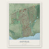
Find your street
Names on the Sayville map
Every name below is printed on this map. Look for your street, your school, the park where you played, or the pond down the road.
Places and landmarks5
- Sayville Heights
- Baymen Soccer Fields
- Locust Ave Park
- Sans Souci County Park
- Union Cemetery
Streets and roads220
- Main Street
- South Main Street
- Lakeland Avenue
- Railroad Avenue
- West Main Street
- Lincoln Avenue
- Montauk Highway
- North Main Street
- Palmer Circle
- Sunrise Highway
- Broadway Avenue
- Johnson Avenue
- Greene Avenue
- Loop Drive
- Old Broadway Avenue
- Lowell Road
- Seville Boulevard
- Foster Avenue
- Sayville Boulevard
- Locust Avenue
- Candee Avenue
- Astor Drive
- Bohemia Parkway
- Hauppauge Road
- Terry Road
- Chester Road
- Sunrise Avenue
- Handsome Avenue
- Wyandanch Road
- Greeley Avenue
Show all 220 streets
- Benson Avenue
- Smithtown Avenue
- Island Boulevard
- Sunset Drive
- River Road
- Edwards Avenue
- Versa Place
- Marion Street
- Bourne Boulevard
- Julbet Drive
- Budenos Drive
- Garfield Avenue
- Durham Road
- Middle Road
- Amy Drive
- Marseille Path
- Lumur Drive
- Revere Drive
- Elm Street
- Sejon Drive
- Macon Avenue
- Spruce Avenue
- Regina Drive
- Indian Head Drive
- Tariff Street
- Carrie Avenue
- Harp Lane
- Potomac Lane
- Colton Avenue
- Easy Street
- Walnut Avenue
- McNeil Street
- Saint Lawrence Street
- High Street
- Lucille Drive
- Gillette Avenue
- Eleventh Street
- Collins Avenue
- Midhurst Avenue
- Cherry Avenue
- Manton Street
- Hopkins Street
- Saxton Avenue
- Eastover Road
- China Road
- Evergreen Avenue
- Oak Avenue
- Jones Drive
- Ort Court
- Cleveland Avenue
- Millpond Road
- Karen Drive
- Roosevelt Avenue
- Cliff Avenue
- South Red Rock Lane
- Willett Avenue
- Sunrise Drive
- Hillside Avenue
- Hiddink Street
- West Lane
- Maple Street
- Smith Street
- Terry Street
- Nancy Drive
- Adams Way
- Richmar Drive
- Mobile Street
- Revelyn Court
- Elaine Drive
- Aldrich Street
- Marlene Drive
- Brook Lane
- Willow Street
- Swindon Row
- Brook Street
- Hanson Place
- East Golf Street
- Hamilton Street
- Pine Street
- Valerie Court
- Hampton Street
- Chase Lane
- Browns River Road
- Alfan Drive
- Kemi Lane
- Washington Street
- Edwards Street
- Ronald Lane
- Joseph Street
- Overton Street
- Dunn Court
- Pueblo Court
- Alfred Street
- Crosby Street
- Claire Lane
- Gibbons Court
- Saint Johns Street
- Tower Street
- Depot Street
- Holly Drive
- Henry Street
- Eastgate Drive
- Kath Court
- George Street
- Erwin Street
- Meadow Court
- Jay Court
- Canterbury Drive
- Holmes Street
- John Street
- Virginia Court
- Grove Street
- Laurel Drive
- Pearl Court
- Evy Court
- Bethesda Lane
- Raft Avenue
- Heritage Lane
- Neel Court
- Rose Street
- River Street
- Norgate Drive
- Dewey Street
- Newton Street
- Alma Street
- Fairway West
- Center Street
- Cedar Avenue
- Oak Street
- Overton Avenue
- Coral Lane
- Sampson Street
- Willie's Way
- Elizabeth Court
- North First Street
- Woodhill Lane
- Yonda Drive
- Barnsley Lane
- Alba Court
- Anita Drive
- South Street
- Swayze Street
- Behrendt Court
- Bohack Court
- Winmar Lane
- Maria Court
- Poplar Street
- Bugle Lane
- Elm Court
- Case Court
- Puritan Road
- North Third Street
- Palmer Drive
- North Cliff Avenue
- Oakwood Avenue
- Holly Drive West
- Greenbrier Lane
- Third Street
- Timber Ridge Court
- Milton Street
- Arrow Lane
- Sterling Place
- Lilac Lane
- Franklin Avenue
- Twin Court
- Amelia Place
- Muriel Place
- Pine Lane
- Nina Court
- The Lane
- Drum Court
- Cele Court
- Eric Court
- Partington Street
- Fairway East
- Languth Street
- Joseph Street Extended
- Danielle Drive
- Baymens Court
- Bonnie Kay Court
- Howard Court
- Belinda Court
- Old Montauk Highway
- Greenway Terrace
- Grundy Avenue
- Sayville Avenue
- Charlotte Place
- Brookdale Court
- Barbara Court
- Bond Street
Names are listed as they appear on the printed map. Zoom into the product photos to find them.
About Sayville, New York
John Edwards of East Hampton built the first house in Sayville in 1761. In 1838 residents met to name their post office. Edwardsville and Greensville tied, so someone proposed Seaville. The name reached Washington spelled Sayville. The Postmaster General refused to change it, since the world had many Seavilles and no Sayvilles.
In 1940 Sayville was an oyster center. It packed Blue Point oysters and shipped them all over the world. It was also a yachting center with one of the best sailing courses on Great South Bay.
- Resort eraThe South Side Railroad reached Sayville in 1868, and summer visitors followed. More than 30 hotels went up. Grand estates rose between 1880 and 1930. One was Meadow Croft. It belonged to John Ellis Roosevelt, cousin to President Theodore. Meadow Croft still stands.
Keep exploring New York
Sayville is one of 2,165 New York towns we've mapped. Every dot on the map is a print of its own.
The search covers every state, New York first.
Near Sayville
Order 2 or more town maps and save 10%. Shown in the size and finish you picked above, so they hang as a set.
- Bayport 12" x 18" / Archival Matte Print $39.99
- West Sayville 12" x 18" / Archival Matte Print $39.99
- Blue Point 12" x 18" / Archival Matte Print $39.99
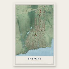

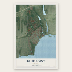
More maps nearby: Oakdale, Bohemia, Holbrook, Patchogue and North Patchogue.
The art of mapping a place
How This Map Was Made
Real places. Remarkable detail. Discover the layers that turn geographic data into a map of home.

The view from above
Aerial imagery reveals the character of the land: woodland, open fields, and the patterns of a place.

The shape of the land
Elevation data brings hills, valleys, and subtle changes in the landscape into view.

The details of home
Roads, waterways, and building footprints come together to make the map feel unmistakably local.

Geography becomes art
Considered color, shading, and typography bring the layers together in a map made for your wall.


Process illustrated with Mendon, Massachusetts. Aerial imagery: USDA NAIP. Terrain: USGS 3D Elevation Program. Map details and finished artwork: KNOWOL.
The Details
About This Print
Choose an archival matte print, or a black or white Ayous wood frame. The archival matte print is unframed.
Select your size and finish above to see the matching product image and price.
Materials & Craftsmanship
A contemporary map with the character of a classic atlas, printed on archival matte paper. Optional frames are made from Ayous wood.
Your printed map does not include the watermark shown in the full-map preview.
Shipping & Delivery
Free shipping within the United States. Every print is made to order in the USA.
Buying a gift? Add a note in your cart and we'll include it. We never put prices in the package.
Prints ship within 2 to 3 business days. Allow 7 to 10 days total from ordering for delivery. Timing may vary during holidays or periods of high order volume.
Read our shipping policy.
Returns and damaged prints
Each print is made to order. Change-of-mind refunds are not available after production.
If your print arrives damaged, misprinted or incorrect, contact support@knowol.com within 30 days of receiving it. Include your order number, photos and a description of the issue.
Read our full refund and replacement policy. For questions about your order, email support@knowol.com.