
Search for another town





Free U.S. delivery 7 to 10 days after you order
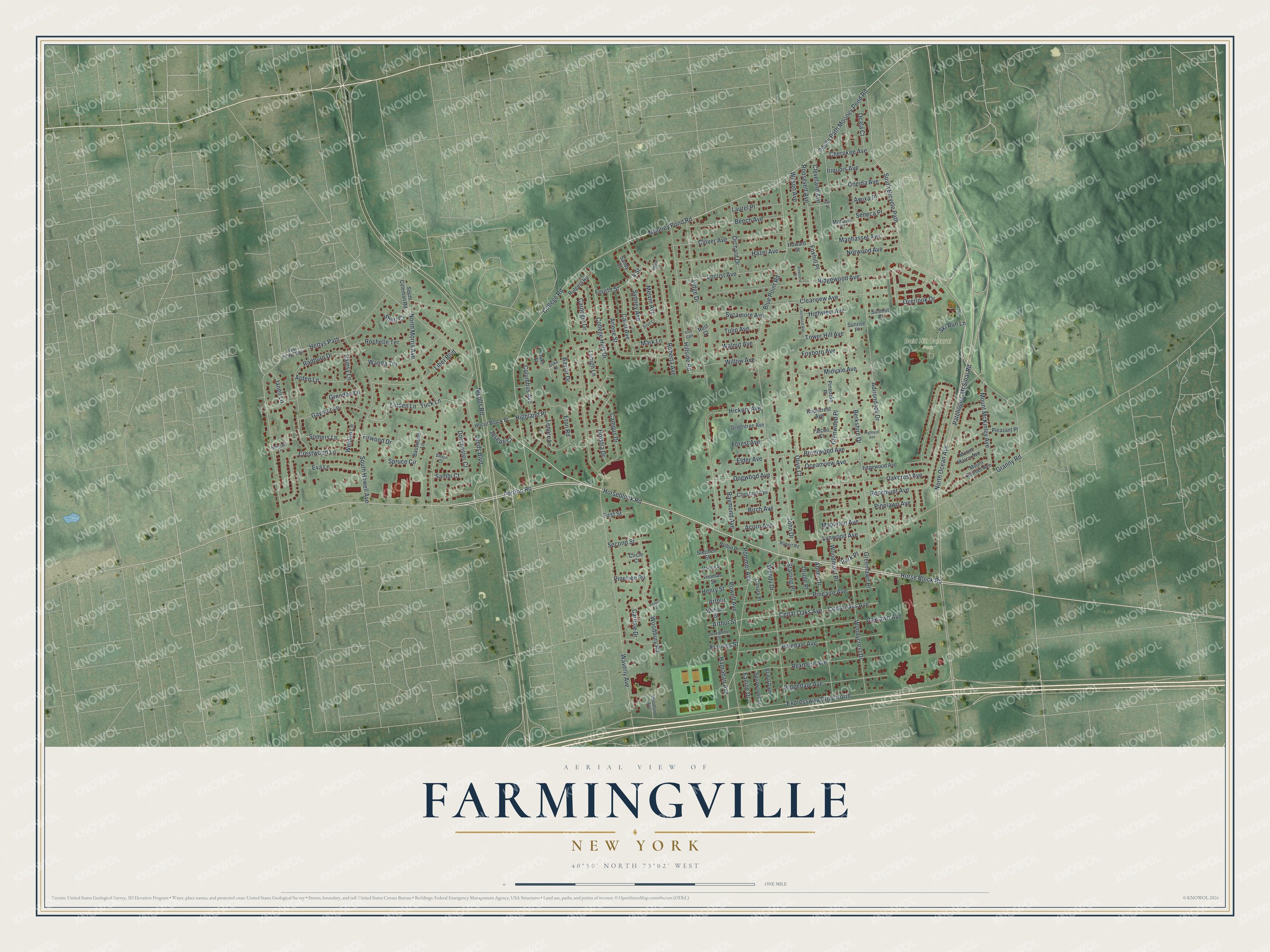
Farmingville, New York Map Art
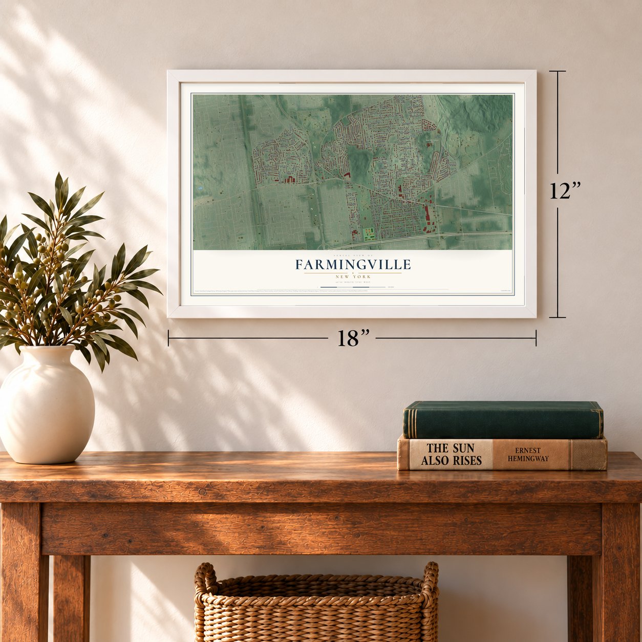
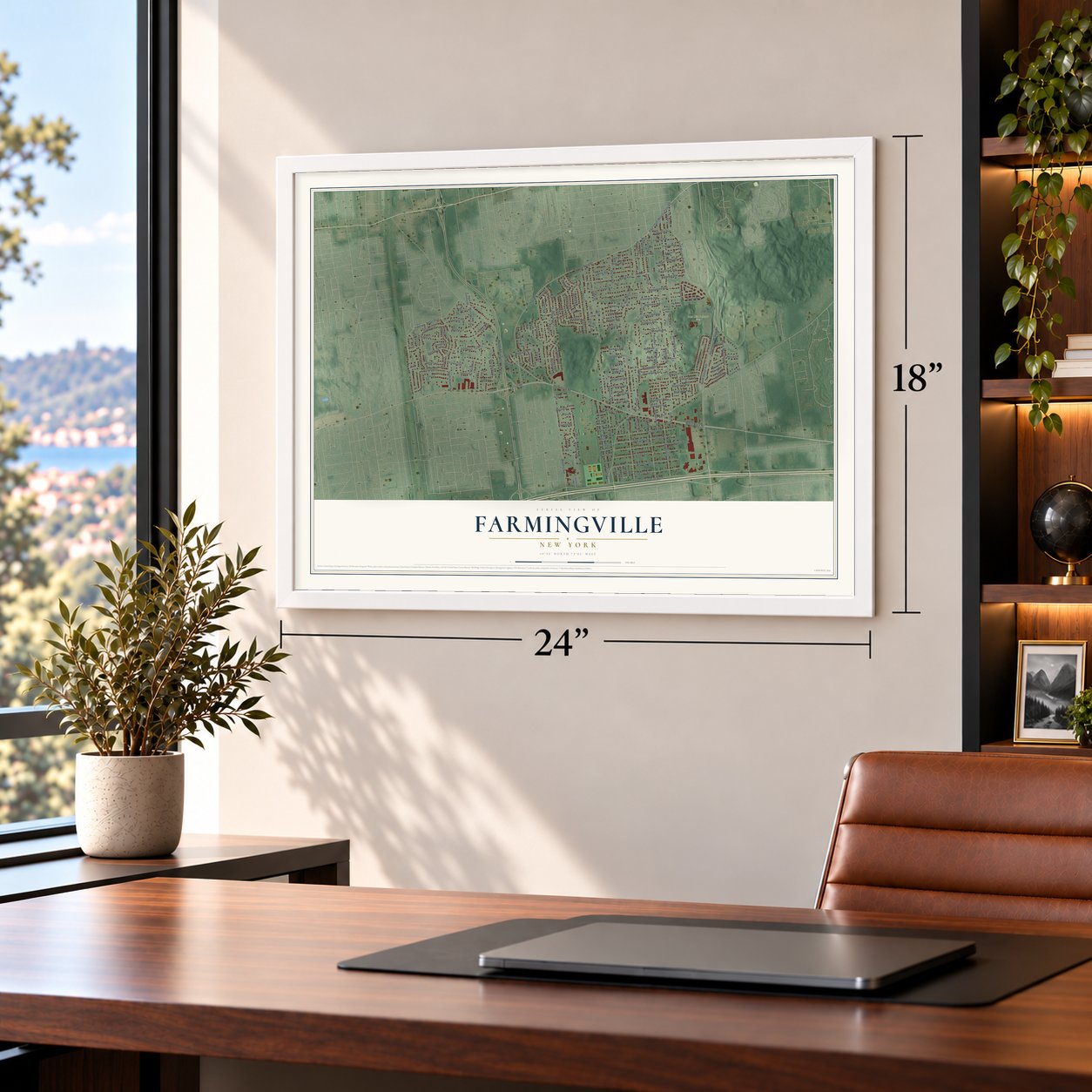
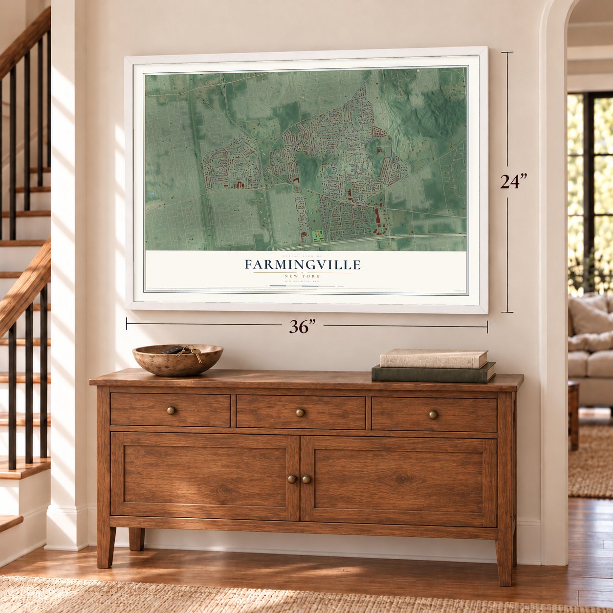
A new map of Farmingville, New York, made in 2026 and printed to order on thick archival matte paper.
12" x 18" Archival Matte Print
A Map of Home. A Work of Art.
Bring a piece of Farmingville home. Whether it’s where you grew up, your current home, or simply a moment in your life, this Farmingville, New York map print brings those memories to your wall. Antique-inspired styling and modern geographic detail combine to create artwork that’s beautiful from across the room, with plenty to study and explore when you get up close.
Three ways to hang it
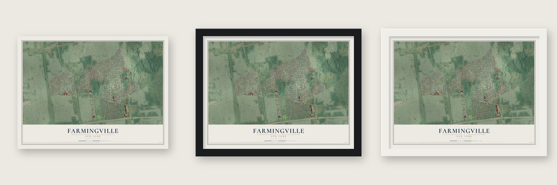
Unframed archival matte, a black wood frame or a white wood frame.
Up close
Real geography. Art worth displaying.
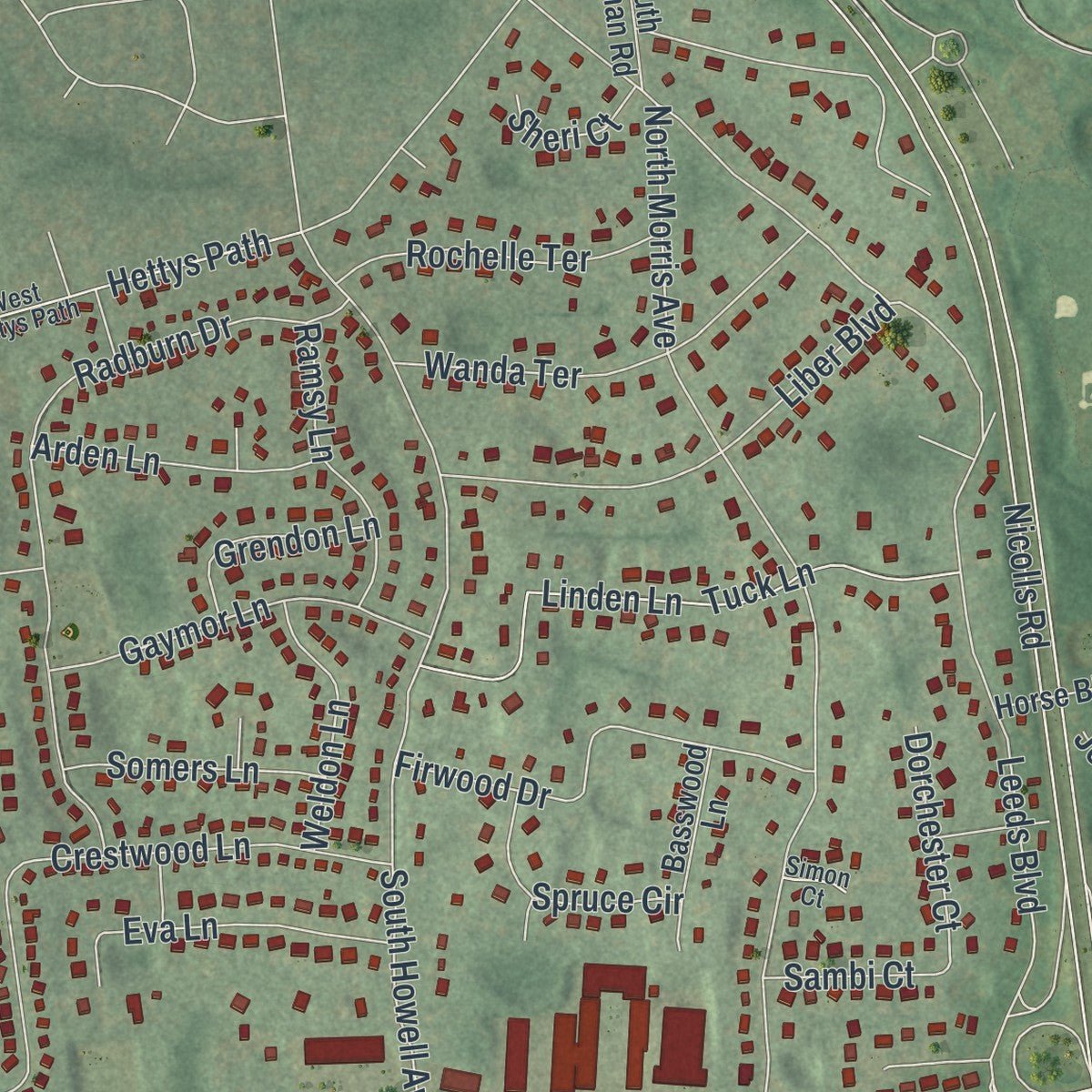
This map was created using accurate cartographic data and authoritative geographic sources, including the U.S. Geological Survey (USGS) and FEMA. The map brings together terrain, waterways, roads, and building detail. The majority of the streets are labeled, houses are accurately depicted, and the topography is derived from government sources. Combining local data with carefully composed color and shading leads to this beautifully detailed Farmingville artwork for your wall.
Rather than simply showing street outlines, we’ve included as many of the street names as we could reasonably fit on the map while keeping their names legible. Zoom in on the high resolution preview to see exactly what’s on the map. We truly set out to create a statement piece for anyone who loves Farmingville. So whether it’s for you, or a gift for someone you love, we hope this map of Farmingville brings back fond memories.
Explore the full map of Farmingville, New York and read about the local places it shows.

About Farmingville, New York
Farmingville is a New York community. The 2020 census recorded 14,983 residents. The home of Elijah Terry, the first teacher in the local school, was built in 1823 and sits next to the Bald Hill Schoolhouse, built in 1850.
- 14,983 residentsThe 2020 census recorded 14,983 residents.
- A recorded beginningThe home of Elijah Terry, the first teacher in the local school, was built in 1823 and sits next to the Bald Hill Schoolhouse, built in 1850.
- A familiar landmarkBald Hill, one of the highest points on Long Island, is located on the Ronkonkoma Moraine, where the glacier which formed Long Island stopped its advance.
- Part of the local storyThe population was 14,983 at the time of the 2020 census.
Find your street
Names on the Farmingville map
Every name below is printed on this map. Look for your street, your school, the park where you played, or the pond down the road.
Places and landmarks1
- Bald Hill Cultural Park
Streets and roads181
- Horseblock Road
- Mooney Pond Road
- Highland Place
- Portion Road
- Paul's Path Mooney Pond Road
- Patchogue-Mt Sinai Road
- College Road
- Horse Block Road
- Blue Point Road
- South Bicycle Path
- 4 Street
- North Ocean Avenue
- Nicolls Road
- Waverly Avenue
- Adirondack Drive
- Expressway Drive North
- Rosemont Avenue
- Berkshire Drive
- Lidge Drive
- Woodycrest Drive
- North Morris Avenue
- Hettys Path
- Granny Road
- Hanrahan Avenue
- Overlook Drive
- South Howell Avenue
- Ridgewood Avenue
- Oaklawn Avenue
- Rexmere Avenue
- Roberta Avenue
Show all 181 streets
- Radburn Drive
- College Hills Drive
- Leeds Boulevard
- Hillside Road
- Pinedale Avenue
- Wendy Drive
- Cedar Oaks Avenue
- Cedaroaks Avenue
- Abner Drive
- Pineaire Avenue
- Crestwood Lane
- Woodbury Road
- Columbus Avenue
- Clearview Avenue
- Arlene Street
- Linden Lane
- Tuck Lane
- Oakcrest Avenue
- Clover Avenue
- Hazel Avenue
- Ridgedale Avenue
- Locust Avenue
- Foxboro Avenue
- Beech Avenue
- Campus Drive
- Pinelawn Avenue
- Roosevelt Avenue
- Liber Boulevard
- Mount McKinley Avenue
- Powell Avenue
- Lynwood Avenue
- Firwood Drive
- John Drive
- Wanda Terrace
- Highview Avenue
- Gaymor Lane
- Eton Road
- Orchard Drive
- Midvale Avenue
- Ski Run Lane
- Carol Avenue
- Mapleton Avenue
- Olive Court
- Dogwood Avenue
- Sydney Avenue
- Eva Lane
- Manhasset Avenue
- Hofstra Drive
- Rochelle Terrace
- Norwood Avenue
- Oceanview Avenue
- Brentwood Avenue
- Melvin Avenue
- Baylor Drive
- Oneida Avenue
- Raymond Avenue
- Ramsy Lane
- Fourth Street
- Elder Avenue
- Laurel Place
- Lehigh Lane
- Hickory Avenue
- Woodmont Place
- Arden Lane
- Willow Avenue
- Glenwood Place
- Iriquois Avenue
- Ocala Court
- Birch Avenue
- Weldon Lane
- Tower Hill Avenue
- Spruce Circle
- Cleveland Avenue
- Somers Lane
- Cherokee Avenue
- Dorchester Court
- Sycamore Avenue
- Henry Street
- Carnegie Drive
- Carlisle Drive
- Grendon Lane
- Second Street
- Starling Place
- Pommer Avenue
- Seneca Place
- Greenlawn Place
- Mark Lane
- Walnut Avenue
- Tulip Avenue
- Foxhill Place
- Janell Lane
- Wilson Avenue
- Oriole Place
- Fanine Drive
- Awixa Place
- Arthur Street
- Forest Avenue
- Acorn Avenue
- Pinetree Road
- Lenore Lane
- Park Place
- Sambi Court
- Sheri Court
- First Street
- Joseph Court
- Frances Street
- Arthur
- Mount Rainier Avenue
- Horse Block Place
- Edgewood Avenue
- Pleasant Place
- Knollcrest Avenue
- Duke Street
- Pineoaks Place
- Basswood Lane
- Mount Marcy Avenue
- Spurwoods Lane
- Bridal Path
- Greentree Avenue
- Chestnut Avenue
- South Coleman Road
- Rutgers Road
- Robin Place
- Sandy Court
- Canary Place
- Howard Street
- Falcon Court
- Summit Place
- Mohawk Place
- Stephen Street
- Thomas Street
- William Street
- Sunrise Place
- Circle Court
- Rest Court
- West Hettys Path
- Hermart Lane
- Duke Court
- Woodland Avenue
- Robert Road
- Martha Street
- Josephine Street
- Simon Court
- Highland Avenue
- Crestwood Avenue
- Hall Street
- Pinecrest Place
- Scott Court
- Villa Gate
- Alamo Drive
- Melvin Court
Names are listed as they appear on the printed map. Zoom into the product photos to find them.
The art of mapping a place
How This Map Was Made
Real places. Remarkable detail. Discover the layers that turn geographic data into a map of home.

The view from above
Aerial imagery reveals the character of the land: woodland, open fields, and the patterns of a place.

The shape of the land
Elevation data brings hills, valleys, and subtle changes in the landscape into view.

The details of home
Roads, waterways, and building footprints come together to make the map feel unmistakably local.

Geography becomes art
Considered color, shading, and typography bring the layers together in a map made for your wall.


Process illustrated with Mendon, Massachusetts. Aerial imagery: USDA NAIP. Terrain: USGS 3D Elevation Program. Map details and finished artwork: KNOWOL.
The Details
About This Print
Choose an archival matte print, or a black or white Ayous wood frame. The archival matte print is unframed.
Select your size and finish above to see the matching product image and price.
Materials & Craftsmanship
A contemporary map with the character of a classic atlas, printed on archival matte paper. Optional frames are made from Ayous wood.
Your printed map does not include the watermark shown in the full-map preview.
Shipping & Delivery
Free shipping within the United States. Every print is made to order in the USA.
Buying a gift? Add a note in your cart and we'll include it. We never put prices in the package.
Prints ship within 2 to 3 business days. Allow 7 to 10 days total from ordering for delivery. Timing may vary during holidays or periods of high order volume.
Read our shipping policy.
Returns and damaged prints
Each print is made to order. Change-of-mind refunds are not available after production.
If your print arrives damaged, misprinted or incorrect, contact support@knowol.com within 30 days of receiving it. Include your order number, photos and a description of the issue.
Read our full refund and replacement policy. For questions about your order, email support@knowol.com.
Find your town
Looking for another city?
Find a map of home in our New York collection.
Nearby
Maps of towns near Farmingville
Know someone from one of these towns? Their map makes a great gift.
 Holtsville
, New York
From $39.99See the map
 Selden
, New York
From $39.99See the map
 Centereach
, New York
From $39.99See the map
More maps nearby: Medford, Coram, Holbrook, Lake Ronkonkoma and North Patchogue.