
Search for another town





Free U.S. delivery 7 to 10 days after you order
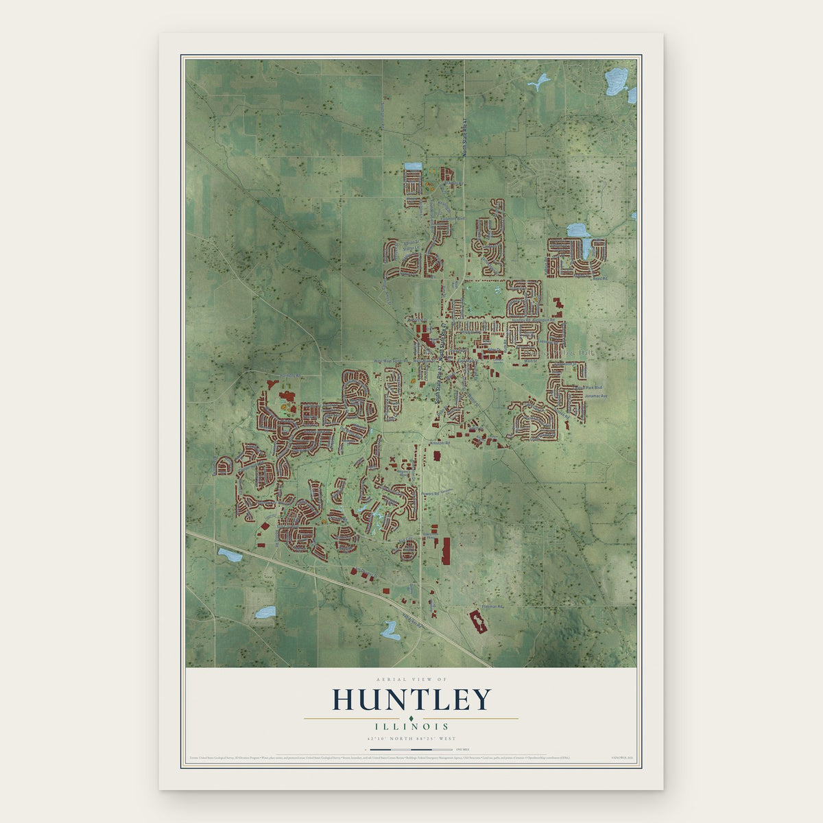
Huntley, Illinois Map Art
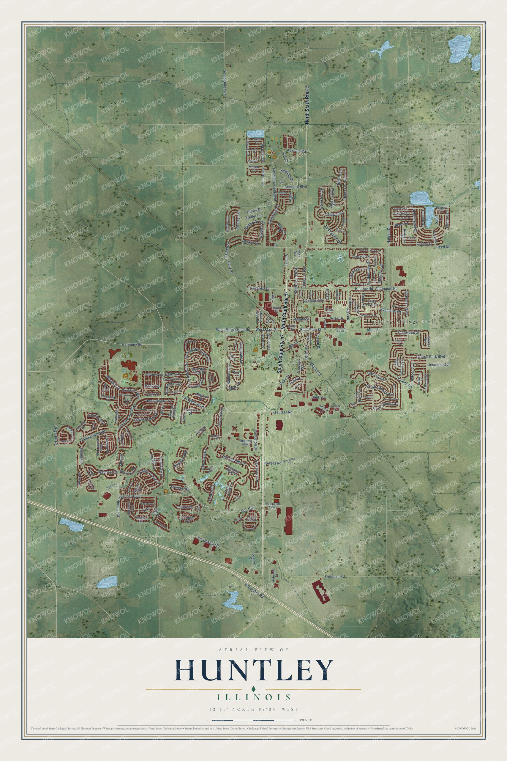
A new map of Huntley, Illinois, made in 2026 and printed to order on thick archival matte paper.
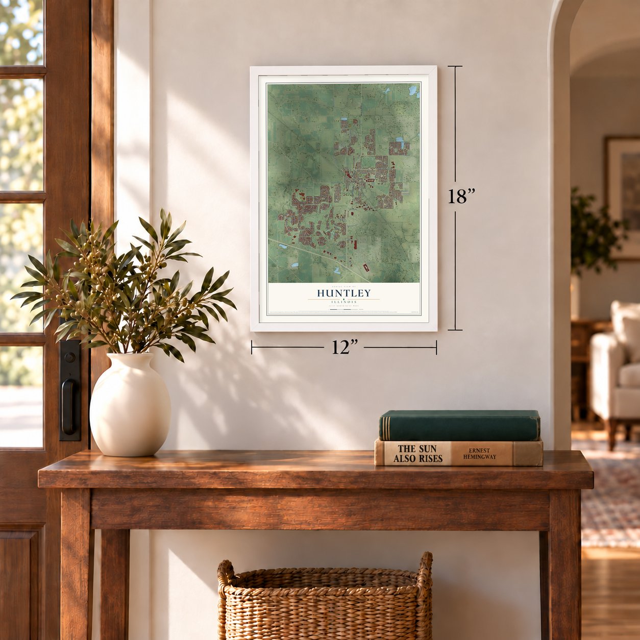
12" x 18" Archival Matte Print
A Map of Home. A Work of Art.
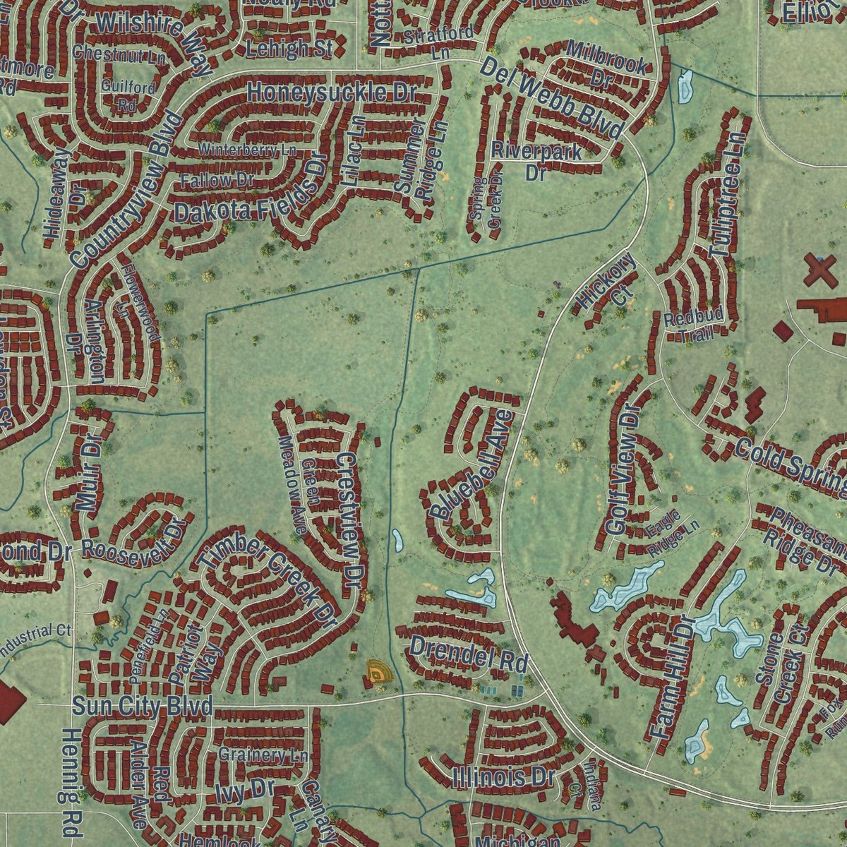
Explore Huntley, Illinois from a whole new perspective. Created using aerial imagery and detailed geographic data, this map captures Huntley building by building, with labeled streets, familiar landmarks, and shaded topographical relief that highlights the natural contours of the landscape.
Combining modern data with the timeless character of a vintage atlas, this map is just as interesting up close as it is beautiful on the wall. Whether you grew up in Huntley, spent memorable years there, or call it home today, this unique map is a great way to celebrate a place that means something to you. Zoom in on the preview to look for your street, and then order a print to put your memories on the wall.
Three ways to hang it
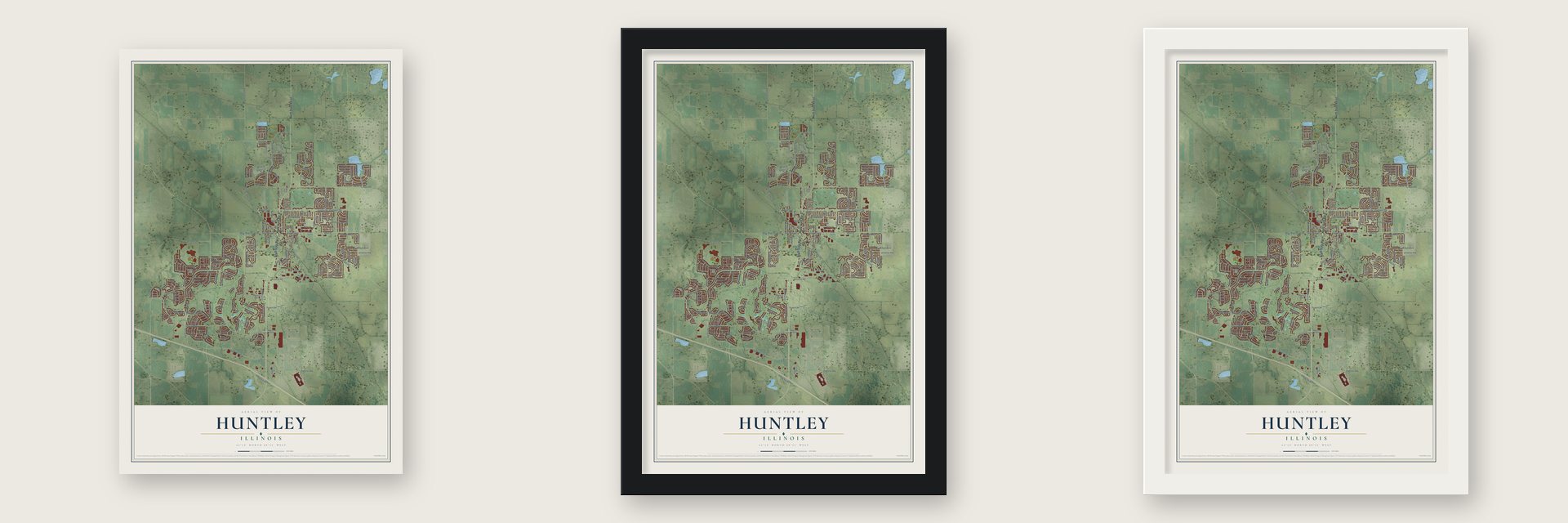
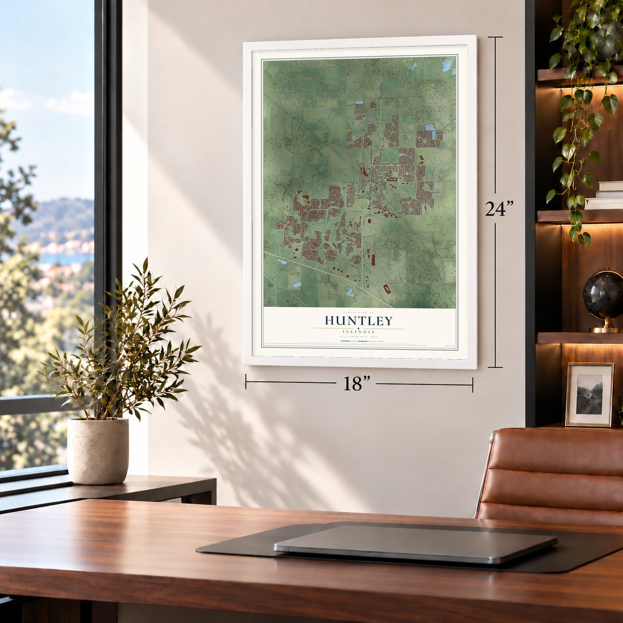
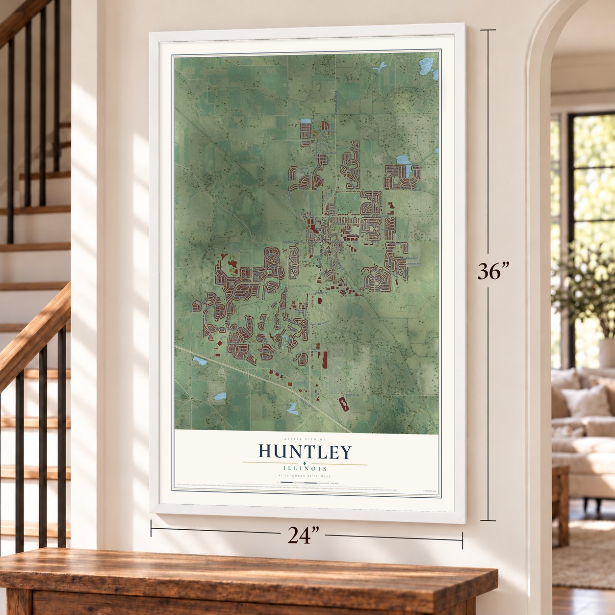
Unframed archival matte, a black wood frame or a white wood frame.
Up close
Geography Worth Displaying
This map was created using accurate cartographic data and authoritative geographic sources, including the U.S. Geological Survey and the Census Bureau. The map brings together terrain, waterways, roads, and building detail. The majority of the streets are labeled, houses are accurately depicted, and the topography is derived from government sources. Combining local data with carefully composed color and shading leads to this beautifully detailed Huntley artwork for your wall.
Rather than simply showing street outlines, we’ve included as many of the street names as we could reasonably fit on the map while keeping their names legible. Zoom in on the high resolution preview to see exactly what’s on the map. We truly set out to create a statement piece for anyone who loves Huntley. So whether it’s for you, or a gift for someone you love, we hope this map of Huntley brings back fond memories.
Read the story behind this map of Huntley, Illinois from 2026.

About Huntley, Illinois
Huntley is an Illinois village spanning McHenry and Kane counties within the Chicago metropolitan area. Its recorded settlement story includes the Huntley family's arrival in 1846. The 2020 census counted 27,740 residents, and the village retains a small downtown with restaurants and shops.
- An 1846 ArrivalThomas Stillwell and Eliza Fox Huntley came with their children Charles, Harriet, and William in 1846.
- Fourteen Square MilesFigures from 2021 list Huntley's total area as 14.35 square miles, of which 14.29 square miles are land.
- Elected Village GovernmentAn elected village president governs with six trustees, who serve staggered four-year terms.
- Interstate ConnectionHuntley has direct access to Interstate 90 through a full interchange at Illinois Route 47.
- Growth Along Route 47Recent economic growth has included businesses and distribution warehouses, particularly along Illinois Route 47.
Find your street
Names on the Huntley map
Every name below is printed on this map. Look for your street, your school, the park where you played, or the pond down the road.
Places and landmarks2
- Huntley Village Hall
- Deicke Park
Streets and roads234
- South State Route 47
- North State Route 47
- Del Webb Boulevard
- Sun City
- Countryview Boulevard
- West Main Street Road
- Stonewater Crossing
- Sun City Boulevard
- East Main Street
- Ruth Road
- Grimley Street
- Adrian Street
- Kreutzer Road
- Smith Drive
- Hunter Trail
- Garlieb Drive
- Diana Lane
- Redmond Drive
- Brier Hill Road
- Elliot Lane
- Fleetwood Street
- Cummings Street
- Ashley Street
- Illinois Drive
- Great Plaines Drive
- Reed Road
- Haligus Road
- Jim Dhamer Drive
- Freeman Road
- Algonquin Road
Show all 234 streets
- Huntley Road
- Dundee Road
- Cold Springs Drive
- South Union Road
- Founders Field Boulevard
- Cape Cod Lane
- Farm Hill Drive
- Central Park Boulevard
- Ackman Road
- Copperwynd Road
- North Church Street
- Main Street
- Rainsford Drive
- Douglas Avenue
- Oak Grove Drive
- Fitzgerald Lane
- Mill Street
- Princeton Drive
- Crestview Drive
- Dean Street
- Van Acker Road
- Dakota Fields Drive
- Talamore Boulevard
- Bennington Drive
- Honeysuckle Drive
- Richmond Lane
- Northbridge Drive
- Grand Canyon Avenue
- Wildrose Drive
- Hadley Drive
- Bristol Lane
- Glazier Street
- Jonamac Avenue
- Kelley Lane
- Bedford Drive
- Sawyer Street
- Leland Lane
- Bluebell Avenue
- Windsor Drive
- Grove Street
- Weltzen Street
- Caldwell Drive
- Powers Road
- Golf View Drive
- Braemar Parkway
- Oakcrest Drive
- Sawgrass Lane
- Russet Lane
- Keating Drive
- Timber Creek Drive
- Kiley Drive
- Vine Street
- Jamestown Road
- Salinas Lane
- Evendale Road
- Dunhill Drive
- Nottingham Drive
- West Main Street
- Enstrom Lane
- Hennig Road
- Scott Drive
- Wilshire Way
- Beacon Avenue
- Muir Drive
- Pearsall Drive
- Cindy Jo Avenue
- Essex Lane
- Martin Street
- Lavender Street
- Oxford Drive
- Tuliptree Lane
- Harmony Road
- Lowden Street
- Donald Drive
- Drendel Road
- Lincoln Street
- Statler Lane
- Amos Street
- Second Street
- Davey Drive
- Ivy Drive
- Nealy Road
- Carl Street
- Riverpark Drive
- Capitol Lane
- Hemlock Road
- Williams Drive
- Nantucket Lane
- Roosevelt Drive
- Hideaway Drive
- Mesa Street
- Regency Parkway
- Automall Drive
- Michigan Avenue
- Arlington Drive
- Janice Drive
- Brookwood Drive
- Heritage Lane
- Blue Bayou Drive
- Rock Island Trail
- Greywall Lane
- Farley Drive
- Red Alder Avenue
- Bonnie Brae Road
- Pheasant Ridge Drive
- Summer Ridge Lane
- Stone Creek Court
- Oak Creek Parkway
- Lasalle Lane
- Daphne Drive
- West Bull Ridge Drive
- Hanover Avenue
- Milbrook Drive
- Riverside Drive
- Frederick Way
- Dalton Drive
- Westmore Road
- Delaney Road
- Santa Fe Trail
- Sunset Drive
- Abbey Road
- Canary Lane
- Lilac Lane
- Covey Lane
- Patriot Way
- Lehigh Street
- Winne Lane
- Sinnett Street
- Kinzie Lane
- Fourth Street
- Wolf Drive
- Noah Avenue
- Dolby Street
- Welsh Lane
- Allison Court
- Hickory Court
- Tahoe Drive
- Quality Drive
- Coral Street
- Timer Drive
- Somerset Lane
- Longfield Drive
- Stonebridge Lane
- Fallow Drive
- Green Meadow Avenue
- Allegheny Pass
- Redbud Trail
- Barberry Lane
- South Myrtle Street
- Greenway Drive
- Sunbury Street
- Clinnin Lane
- Cambridge Drive
- Chestnut Lane
- Aldridge Drive
- Durham Drive
- Concord Lane
- Hawley Lane
- Stratford Lane
- Grainery Lane
- Butler Lane
- Samantha Lane
- Bethel Avenue
- River Terrace Lane
- Elizabeth Avenue
- Redstone Drive
- Quail Ridge Drive
- Bakley Street
- Foxtail Lane
- Tawny Lane
- Savannah Lane
- East Main Saint Road
- Wing Pointe Drive
- Windy Prairie Drive
- Berkshire Lane
- Niagra Lane
- Sheldon Road
- Flowerwood Lane
- Winterberry Lane
- Penefield Lane
- Golden Gate Avenue
- Schaffner Drive
- Cortland Lane
- Mayflower Lane
- Daniel Lane
- Kaslow Lane
- Spring Creek Drive
- Heartland Lane
- Meadowlark Lane
- Dawson Street
- Brighton Lane
- Eagle Ridge Lane
- Industrial Court
- Nicollet Lane
- Mathew Street
- Philip Drive
- Marvin Drive
- Giordano Court
- Daffodil Drive
- Fox Run Court
- Guilford Road
- Bayou Court
- Indiana Court
- Day Drive
Names are listed as they appear on the printed map. Zoom into the product photos to find them.
The art of mapping a place
How This Map Was Made
Real places. Remarkable detail. Discover the layers that turn geographic data into a map of home.

The view from above
Aerial imagery reveals the character of the land: woodland, open fields, and the patterns of a place.

The shape of the land
Elevation data brings hills, valleys, and subtle changes in the landscape into view.

The details of home
Roads, waterways, and building footprints come together to make the map feel unmistakably local.

Geography becomes art
Considered color, shading, and typography bring the layers together in a map made for your wall.


Process illustrated with Mendon, Massachusetts. Aerial imagery: USDA NAIP. Terrain: USGS 3D Elevation Program. Map details and finished artwork: KNOWOL.
The Details
About This Print
Choose an archival matte print, or a black or white Ayous wood frame. The archival matte print is unframed.
Select your size and finish above to see the matching product image and price.
Materials & Craftsmanship
A contemporary map with the character of a classic atlas, printed on archival matte paper. Optional frames are made from Ayous wood.
Your printed map does not include the watermark shown in the full-map preview.
Shipping & Delivery
Free shipping within the United States. Every print is made to order in the USA.
Buying a gift? Add a note in your cart and we'll include it. We never put prices in the package.
Prints ship within 2 to 3 business days. Allow 7 to 10 days total from ordering for delivery. Timing may vary during holidays or periods of high order volume.
Read our shipping policy.
Returns and damaged prints
Each print is made to order. Change-of-mind refunds are not available after production.
If your print arrives damaged, misprinted or incorrect, contact support@knowol.com within 30 days of receiving it. Include your order number, photos and a description of the issue.
Read our full refund and replacement policy. For questions about your order, email support@knowol.com.
Find your town
Looking for another city?
Find a map of home in our Illinois collection, or any town in the country.
Nearby
Maps of towns near Huntley
Know someone from one of these towns? Their map makes a great gift.
 Hampshire
, Illinois
From $39.99See the map
 Harmony
, Illinois
From $39.99See the map
 Gilberts
, Illinois
From $39.99See the map
More maps nearby: Lakewood, Pingree Grove, Algonquin, Lake in the Hills and West Dundee.