
Search for another town

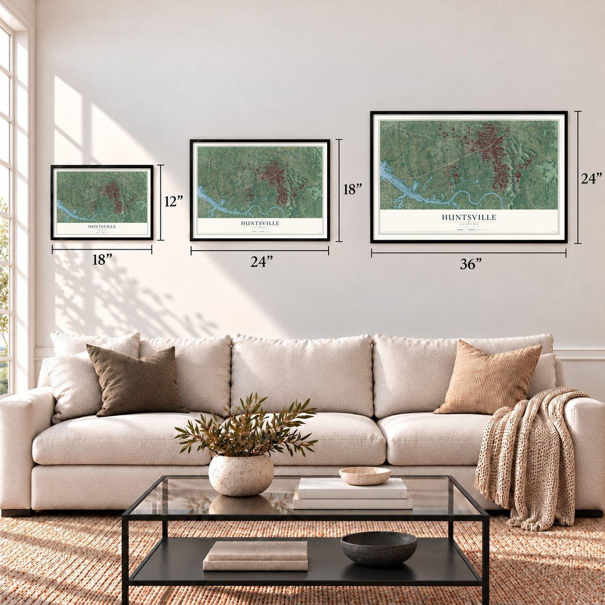
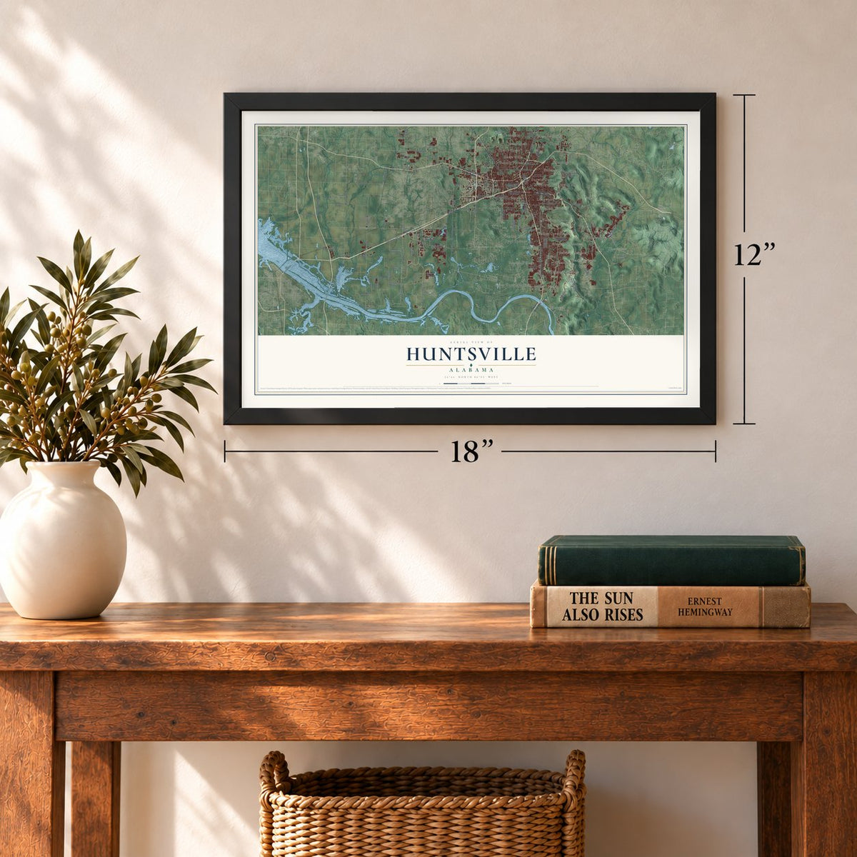
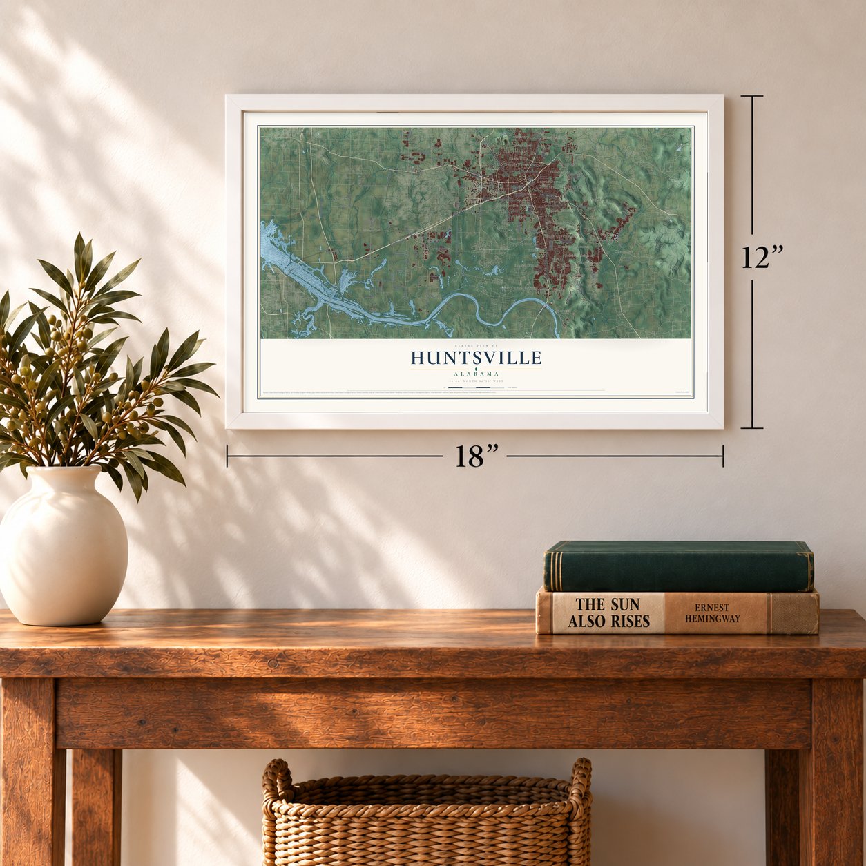

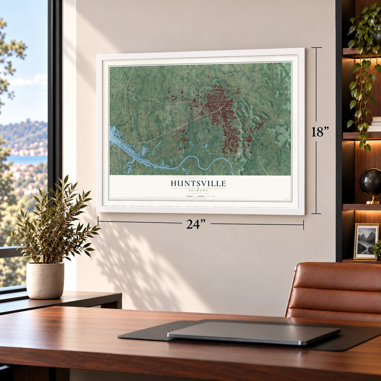

Free U.S. delivery 7 to 10 days after you order
Huntsville, Alabama Map Art
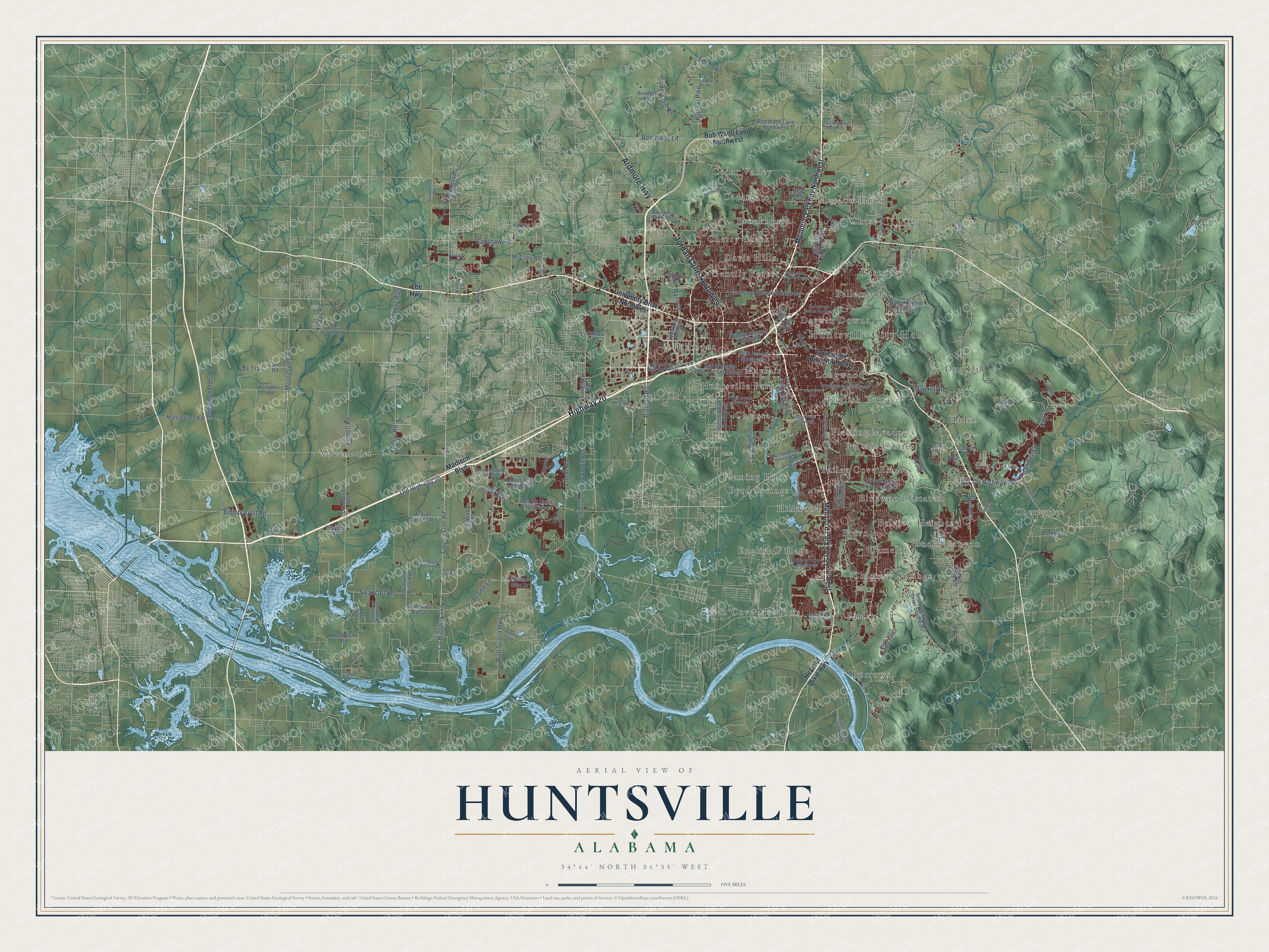
A new map of Huntsville, Alabama, made in 2026 and printed to order on thick archival matte paper.
12" x 18" Archival Matte Print
A Map of Home. A Work of Art.
Explore Huntsville, Alabama from a whole new perspective. Created using aerial imagery and detailed geographic data, this map captures Huntsville building by building, with labeled streets, familiar landmarks, and shaded topographical relief that highlights the natural contours of the landscape.
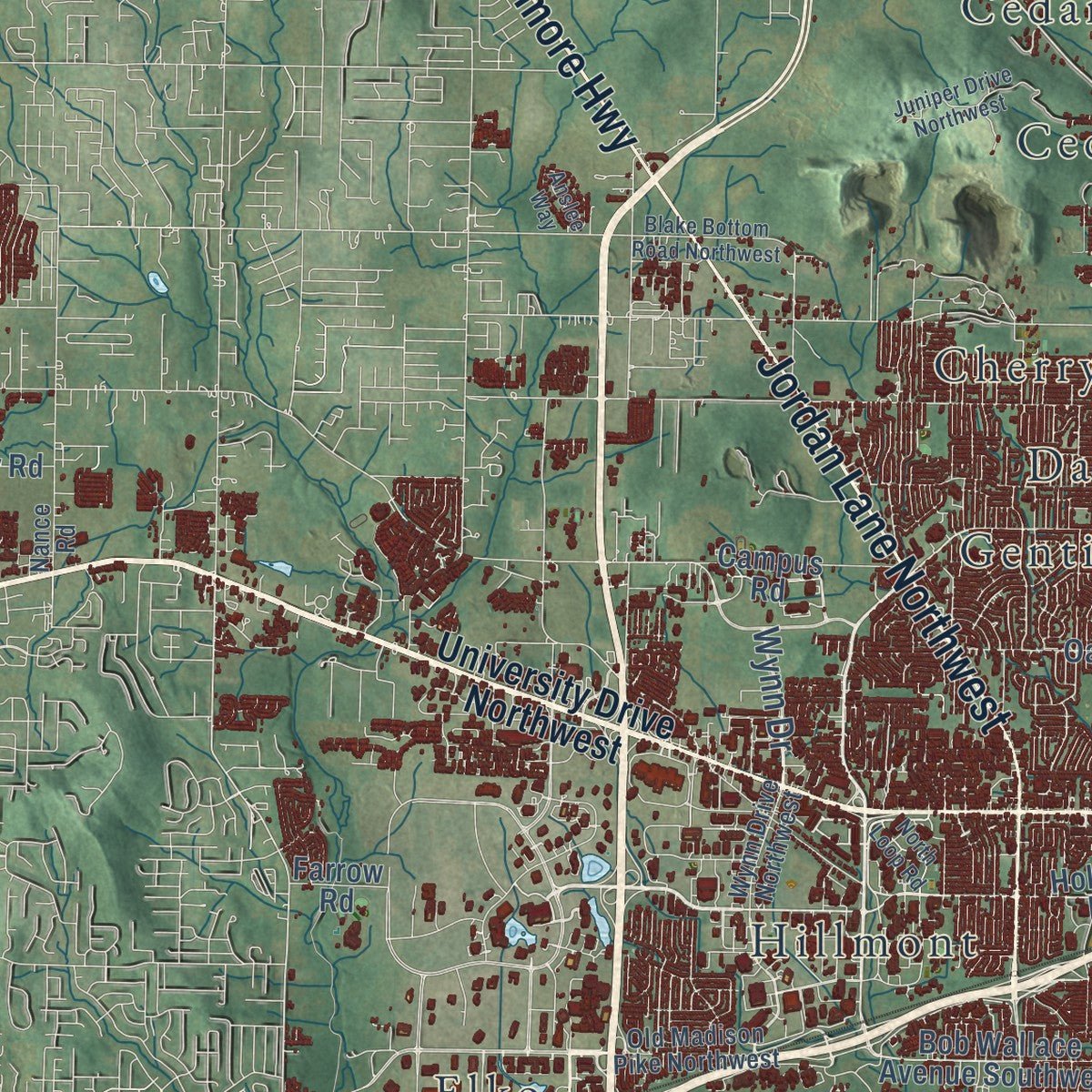
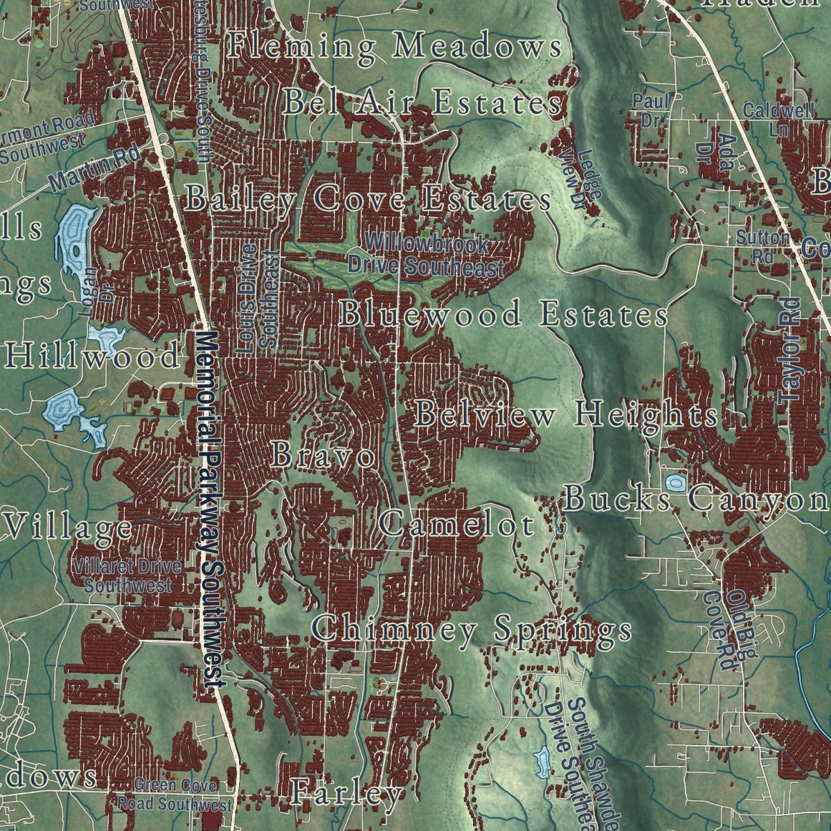
Combining modern data with the timeless character of a vintage atlas, this map is just as interesting up close as it is beautiful on the wall. Whether you grew up in Huntsville, spent memorable years there, or call it home today, this unique map is a great way to celebrate a place that means something to you. Zoom in on the preview to look for your street, and then order a print to put your memories on the wall.
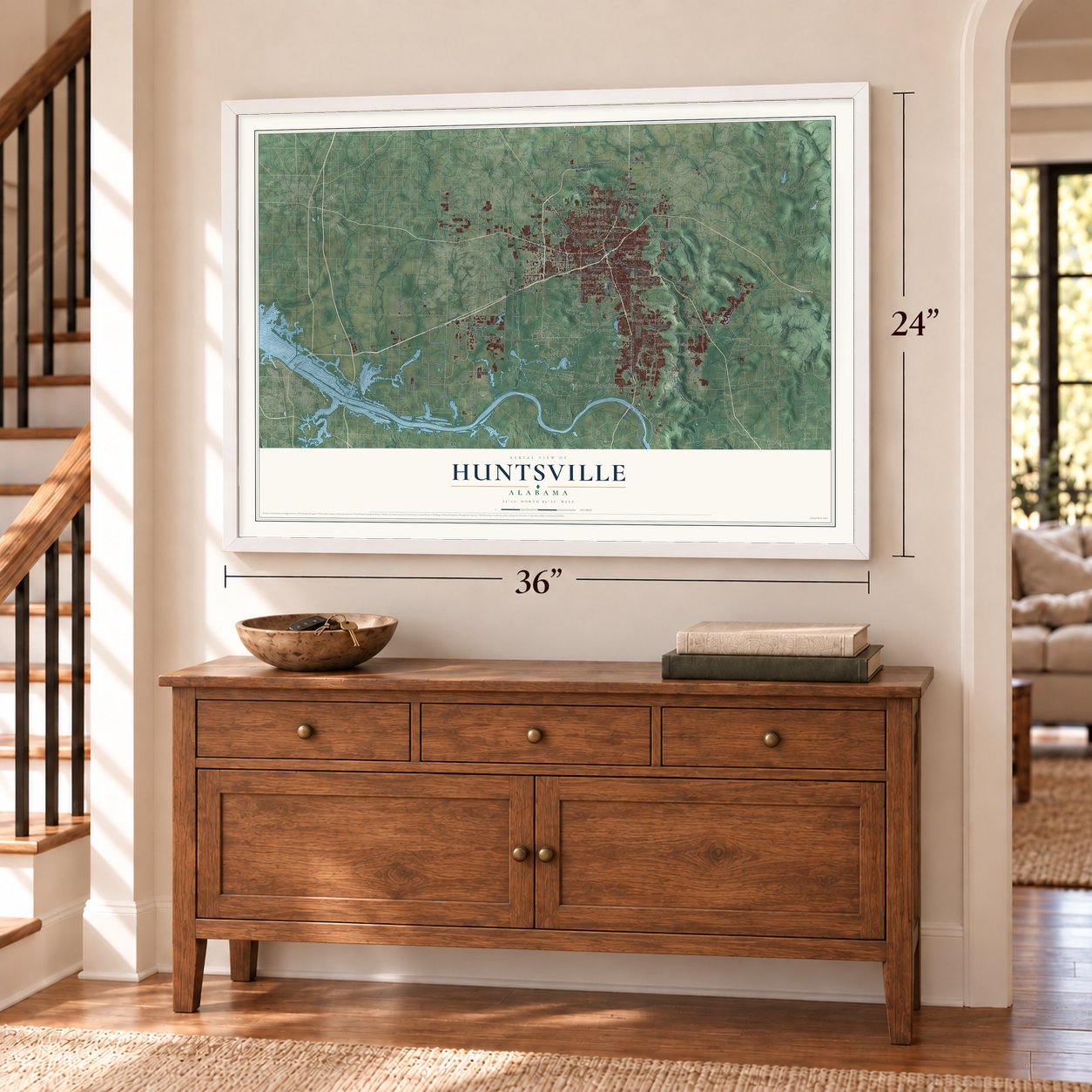
Three ways to hang it
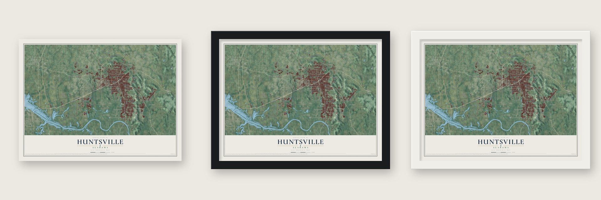
Unframed archival matte, a black wood frame or a white wood frame.
Up close
Geography Worth Displaying
This map was created using accurate cartographic data and authoritative geographic sources, including the U.S. Geological Survey and the Census Bureau. The map brings together terrain, waterways, roads, and building detail. The majority of the streets are labeled, houses are accurately depicted, and the topography is derived from government sources. Combining local data with carefully composed color and shading leads to this beautifully detailed Huntsville artwork for your wall.
Rather than simply showing street outlines, we’ve included as many of the street names as we could reasonably fit on the map while keeping their names legible. Zoom in on the high resolution preview to see exactly what’s on the map. We truly set out to create a statement piece for anyone who loves Huntsville. So whether it’s for you, or a gift for someone you love, we hope this map of Huntsville brings back fond memories.
Read the story behind this map of Huntsville, Alabama from 2026.

About Huntsville, Alabama
Huntsville is a city of 215,006 people and the seat of Madison County, in the far north of Alabama. John Hunt came down from Tennessee in 1805 and settled beside the Big Spring. When the federal government put the land up for sale in 1809, LeRoy Pope and a group of wealthy planters bought much of it, Hunt's claim included. On December 22, 1809, the territorial legislature took Pope's advice and named the town Twickenham, for the English home of the poet Alexander Pope.
Many settlers kept calling the place Hunt's Spring, so in November 1811 the legislature renamed it Huntsville after its first settler. That same year it was incorporated, the first town in present-day Alabama to be. Cotton made it rich, with five gins running by 1815, and from July 5 to August 2, 1819, 44 delegates met in Walker Allen's cabinet-making shop to write the constitution of the new state. Huntsville served as Alabama's first capital for one legislative session before the government moved to Cahaba, later Tuscaloosa and at last Montgomery.
- The Big SpringIn 1843 William H. Pope, LeRoy Pope's son, gave the spring site to the city for one dollar. It stayed Huntsville's main supply of fresh water until 1957, and for the thirty years before 1950, water sales brought in more money for the city's General Fund than anything else. A park grew up around the spring in 1898, and large crowds gathered for baptisms below its small dam. Big Spring joined the National Register in 1980.
- Union troops in 1862The Memphis and Charleston Railroad reached Huntsville in 1855 and made it headquarters of its Eastern Division. To cut that line, Union General Ormsby M. Mitchel seized the town on the morning of April 11, 1862. His troops left a few months later, returned in the fall of 1863 and held it as a base until the last months of 1864. They burned homes across the countryside, but most of Huntsville survived because Union officers and soldiers lived there.
- Alabama A&M since 1873On December 9, 1873, the legislature approved a normal school in Huntsville to train Black teachers. William Hooper Councill, who had been enslaved, founded it and served as its first president. Classes opened in May 1875 in a rented building, the school moved to its own property on West Clinton Street in 1881, and land-grant money in 1891 let it grow and move to its present site. It became Alabama Agricultural and Mechanical University, reaching university status in 1969.
- Frank James found not guiltyThe Calhoun House once served as a federal courthouse, and the outlaw Frank James stood trial there for robbing a government payroll near Muscle Shoals on May 11, 1881. A jury found him not guilty on April 25, 1884. One of his lawyers was Huntsville's own LeRoy Pope Walker, who had been the first Confederate Secretary of War.
- The Rocket CityIn 1950 about 1,000 Army personnel moved from Fort Bliss, Texas, to Redstone Arsenal, including Wernher von Braun and about 200 German scientists and engineers he led. On January 31, 1958, the Army team launched Explorer 1, America's first satellite. On July 1, 1960, 4,670 civilian workers transferred to NASA's Marshall Space Flight Center under von Braun, which in the 1960s developed Saturn boosters for the Apollo Lunar Landing Program.
Find your street
Names on the Huntsville map
Every name below is printed on this map. Look for your street, your school, the park where you played, or the pond down the road.
Places and landmarks40
- Huntsville City Hall
- Bailey Cove Estates
- Bel Air Estates
- Bellemeade
- Belview Heights
- Big Cove
- Bluewood Estates
- Bravo
- Brookhurst
- Bucks Canyon
- Burrows
- Byrd Springs
Show all 40 places
- Camelot
- Cedar Valley
- Cedargate
- Chase
- Chelsea
- Cherry Creek
- Cherrytree
- Chimney Springs
- Darwin Downs
- Davis Hills
- Dug Hill
- Eastridge
- Elko
- English Terrace
- English Village
- Farley
- Fleming Hills
- Fleming Meadows
- Gentily Forest
- Green Cove Meadows
- Greenbrier
- Haden
- Hillmont
- Hillwood
- Huntsville Park
- Longwood
- Mayfair
- Meadow Hills
Streets and roads133
- Jordan Lane Northwest
- Highway 20
- Ardmore Highway
- County Line Road
- Rideout Road
- Dogwood Flats Road
- Wall Triana Highway
- Swancott Road
- County Highway 28
- Old Highway 20
- County Highway 127
- Zierdt Road
- Powell Road
- Anderson Road Southwest
- Mooresville Road
- Holladay Boulevard
- Pulaski Pike
- Capshaw Road
- Taylor Road
- Dug Hill Road
- Beadle Lane
- Ve Trail
- Carters Gin Road
- Estan Bypass
- Bibb Garrett Road
- Wynn Drive
- Bob Wade Lane
- Gray Road
- Segers Road
- Memorial Parkway Southwest
Show all 133 streets
- University Drive Northwest
- Memorial Parkway Northwest
- Governors Drive Southeast
- Lee Highway
- Heart of Dixie Highway
- Madison Boulevard
- Bob Wade Lane Northwest
- Holmes Avenue Northwest
- Madison Street
- Bob Wallace Avenue Southwest
- Old Railroad Bed Road
- Old Big Cove Road
- Slaughter Road
- Meridian Street North
- Martin Road
- Little Cove Road
- South Shawdee Drive Southeast
- Martin Road Southwest
- Oakwood Avenue Northwest
- Southwest Wall Street
- Leeman Ferry Road Southwest
- Indian Springs Road
- Patton Road Southwest
- East Boeing Circle
- Henderson Road
- Greenbrier Road
- Monroe Road
- Kellner Road Southwest
- Louis Drive Southeast
- Willowbrook Drive Southeast
- Southwest Bilou Road
- Martin Lime Road
- Campus Road
- Farm Road
- Nolen Avenue Southeast
- Sixth Avenue Southwest
- Harbor Glen Drive
- Humphrey Road
- McCrary Road
- Burwell Road
- Peoples Road
- Berkley Road
- Harbin Road
- Farrow Road
- Ripple Lane
- Kirby Lane
- Towe Road
- Ada Drive
- Whitesburg Drive South
- Old Madison Pike Northwest
- Triana Boulevard Southwest
- Wynn Drive Northwest
- Drake Avenue Southeast
- Jordan Road
- Ledge View Drive
- Church Street Northwest
- Sanderson Road
- Vermont Road Southwest
- Villaret Drive Southwest
- Balch Road
- McCutcheon Loop Road
- Southwest Rabbit Lane
- Shadow Court
- Bibb Garrett
- Caldwell Lane
- Southwest Barlowe Road
- Nance Road
- Sutton Road
- Sixth Street
- Logan Drive
- Routt Road
- Refuge Road
- Ricky Road
- Paul Drive
- Airport Road Southwest
- North Loop Road
- Green Cove Road Southwest
- Countess Road Northeast
- Moores Mill Road
- Old Highway 431
- Drake Avenue Southwest
- Huntsville Brownsferry Road
- Blake Bottom Road Northwest
- James Record Road Southwest
- Overlook Road
- Monte Vedra Road Southeast
- Juniper Drive Northwest
- Max Luther Drive Northwest
- McMullen Lane
- McCullough Avenue Northeast
- Shields Road
- Short Pike Road Southwest
- Rountree Place
- Clipper Lane
- Westburg Avenue
- Tumpkins Lane
- Edgewater Drive
- Buchanan Way
- Sanlan Place
- Heritage Brook Drive
- Anslee Way
- Round Bar Drive
- Joel Drive
Names are listed as they appear on the printed map. Zoom into the product photos to find them.
The art of mapping a place
How This Map Was Made
Real places. Remarkable detail. Discover the layers that turn geographic data into a map of home.

The view from above
Aerial imagery reveals the character of the land: woodland, open fields, and the patterns of a place.

The shape of the land
Elevation data brings hills, valleys, and subtle changes in the landscape into view.

The details of home
Roads, waterways, and building footprints come together to make the map feel unmistakably local.

Geography becomes art
Considered color, shading, and typography bring the layers together in a map made for your wall.


Process illustrated with Mendon, Massachusetts. Aerial imagery: USDA NAIP. Terrain: USGS 3D Elevation Program. Map details and finished artwork: KNOWOL.
The Details
About This Print
Choose an archival matte print, or a black or white Ayous wood frame. The archival matte print is unframed.
Select your size and finish above to see the matching product image and price.
Materials & Craftsmanship
A contemporary map with the character of a classic atlas, printed on archival matte paper. Optional frames are made from Ayous wood.
Your printed map does not include the watermark shown in the full-map preview.
Shipping & Delivery
Free shipping within the United States. Every print is made to order in the USA.
Buying a gift? Add a note in your cart and we'll include it. We never put prices in the package.
Prints ship within 2 to 3 business days. Allow 7 to 10 days total from ordering for delivery. Timing may vary during holidays or periods of high order volume.
Read our shipping policy.
Returns and damaged prints
Each print is made to order. Change-of-mind refunds are not available after production.
If your print arrives damaged, misprinted or incorrect, contact support@knowol.com within 30 days of receiving it. Include your order number, photos and a description of the issue.
Read our full refund and replacement policy. For questions about your order, email support@knowol.com.
Find your town
Looking for another city?
Find a map of home in our Alabama collection, or any town in the country.
Nearby
Maps of towns near Huntsville
Know someone from one of these towns? Their map makes a great gift.
 Redstone Arsenal
, Alabama
From $39.99See the map
 Madison
, Alabama
From $39.99See the map
 Triana
, Alabama
From $39.99See the map
More maps nearby: Harvest, Mooresville, Meridianville, Moores Mill and Owens Cross Roads.