
Search for another town




Free U.S. delivery 7 to 10 days after you order
Immokalee, Florida Map Art
A new map of Immokalee, Florida, made in 2026 and printed to order on thick archival matte paper.
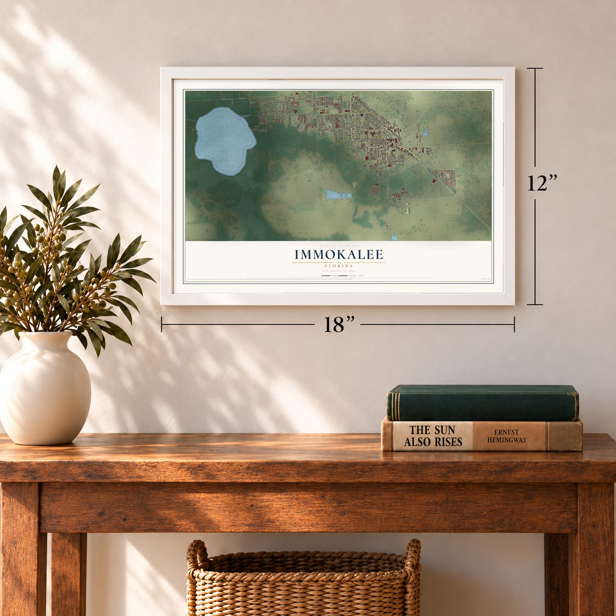
12" x 18" Archival Matte Print
A Map of Home. A Work of Art.
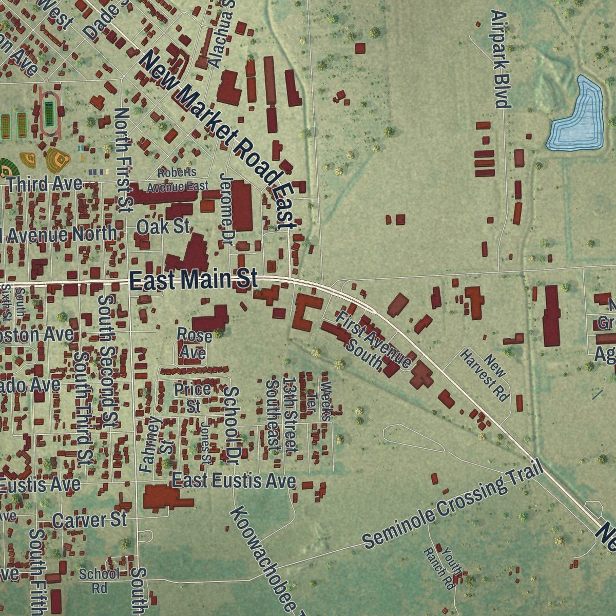
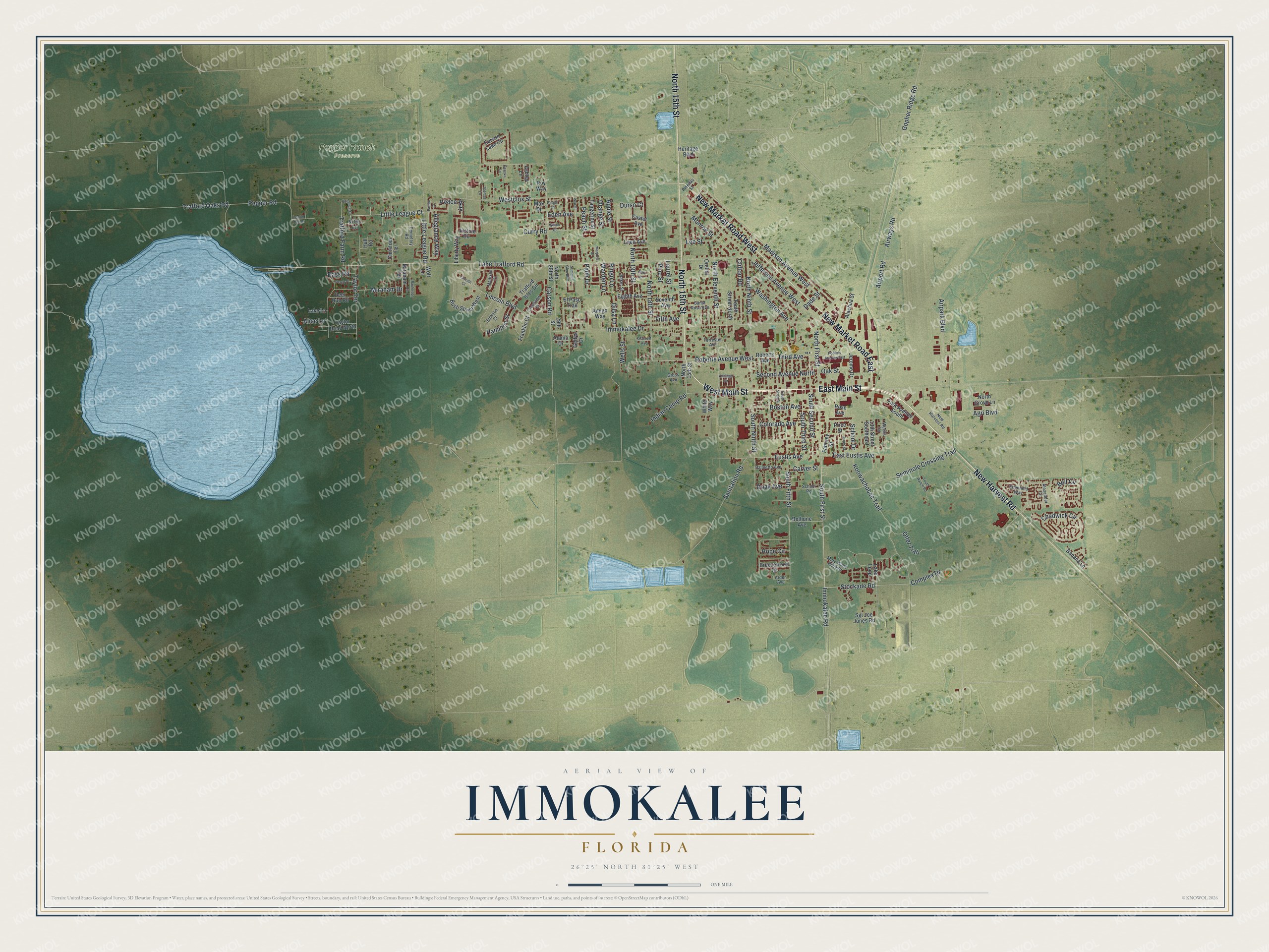
Explore Immokalee, Florida from a whole new perspective. Created using aerial imagery and detailed geographic data, this map captures Immokalee building by building, with labeled streets, familiar landmarks, and shaded topographical relief that highlights the natural contours of the landscape.
Combining modern data with the timeless character of a vintage atlas, this map is just as interesting up close as it is beautiful on the wall. Whether you grew up in Immokalee, spent memorable years there, or call it home today, this unique map is a great way to celebrate a place that means something to you. Zoom in on the preview to look for your street, and then order a print to put your memories on the wall.
Three ways to hang it
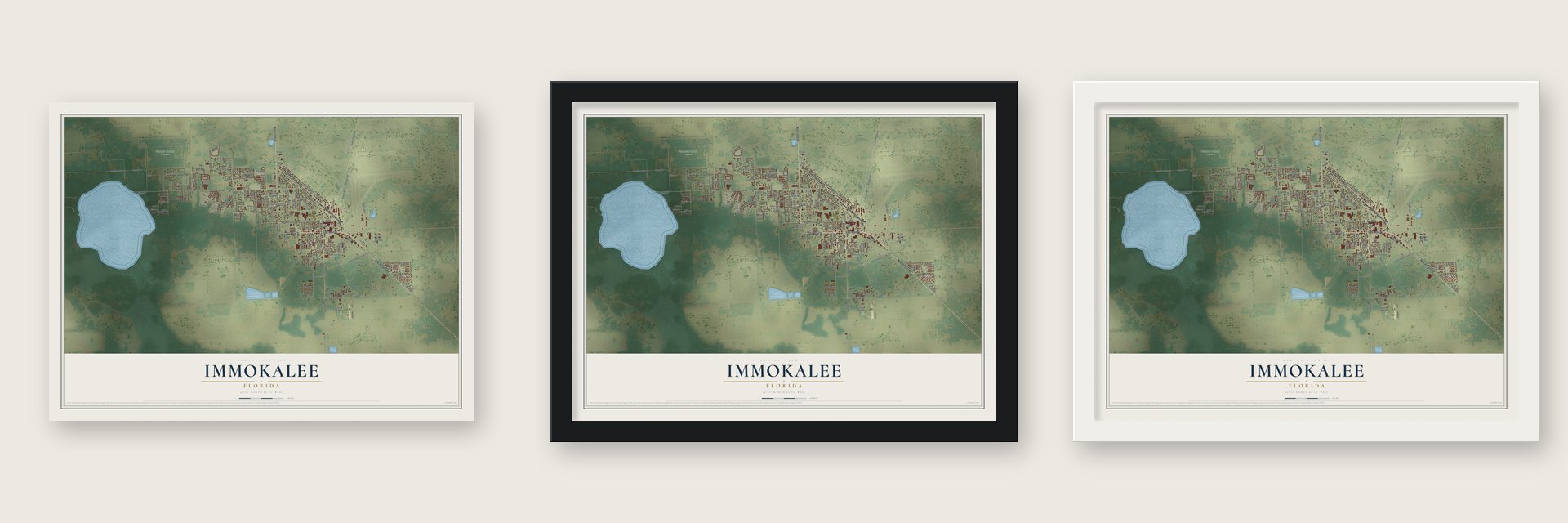
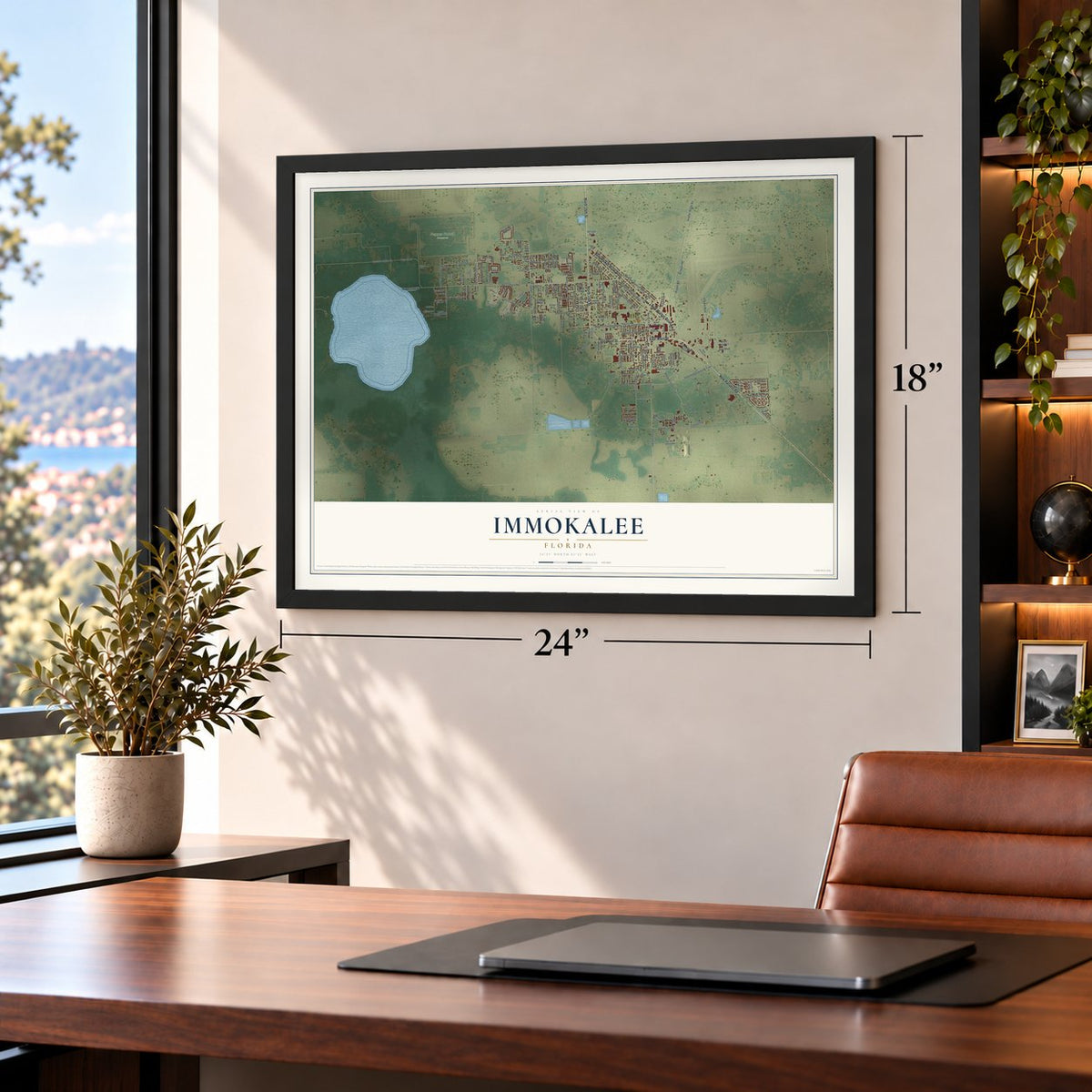
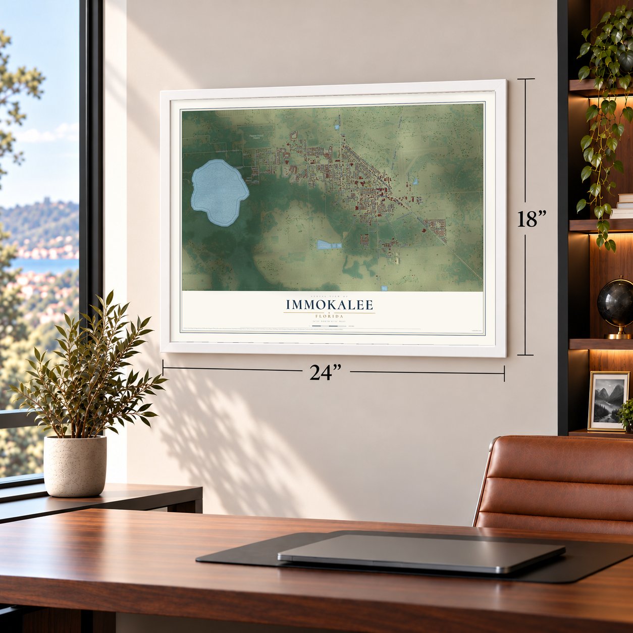
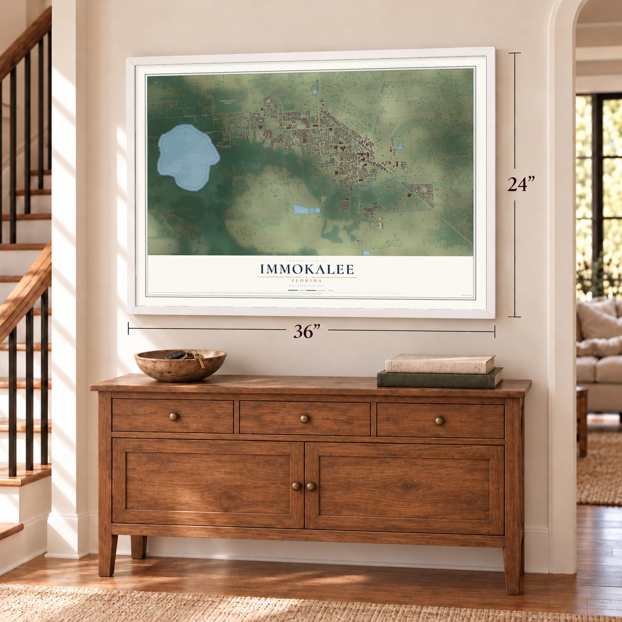
Unframed archival matte, a black wood frame or a white wood frame.
Up close
Geography Worth Displaying
This map was created using accurate cartographic data and authoritative geographic sources, including the U.S. Geological Survey (USGS) and FEMA. The map brings together terrain, waterways, roads, and building detail. The majority of the streets are labeled, houses are accurately depicted, and the topography is derived from government sources. Combining local data with carefully composed color and shading leads to this beautifully detailed Immokalee artwork for your wall.
Rather than simply showing street outlines, we’ve included as many of the street names as we could reasonably fit on the map while keeping their names legible. Zoom in on the high resolution preview to see exactly what’s on the map. We truly set out to create a statement piece for anyone who loves Immokalee. So whether it’s for you, or a gift for someone you love, we hope this map of Immokalee brings back fond memories.
Explore the full map of Immokalee, Florida and read about the local places it shows.

About Immokalee, Florida
Immokalee is a community of 24,557 people in northern Collier County, along State Road 29. The Calusa lived in this region first, and centuries later Seminole people came down from northern Florida. The Seminole and Miccosukee called the place Gopher Ridge, and its present name means "your home" in Mikasuki. Hunters, trappers, Native American traders, cowmen and missionaries passed through long before settlers founded a permanent village in 1872.
Once the surrounding swamps were drained, farming took over, and Immokalee grew into one of the country's leading places for growing tomatoes. In 1921 the Atlantic Coast Line Railroad pushed its Haines City Branch south to the town, and for years its trains hauled a steady load of crops. Service shrank to Sunniland in the 1950s, and in the 1980s the rest of the branch back to Palmdale was abandoned, so Immokalee lost its railroad.
- Farmworkers organize in 1993Edward R. Murrow's 1960 CBS broadcast Harvest of Shame exposed the hard lives of migrant farmworkers here. In 1993 local farmworkers formed the group that grew into the Coalition of Immokalee Workers. In 2000 its members marched from Fort Myers to Orlando, a trip of 230 miles, and in 2001 they launched a nationwide boycott of Taco Bell. Its parent company agreed to all their demands in 2005. Walmart, Whole Foods, Subway, Burger King and McDonald's later joined as well.
- Fair Food since 2011The coalition launched its Fair Food Program in 2011. It began in the Florida tomato fields and has since spread to ten states and Chile.
- Radio Conciencia, 107.7 FMIn December 2003, volunteers from Immokalee and across the country built the low-power station WCIW-LP at the fifth Prometheus Radio Project barnraising. The coalition runs it, broadcasting news and music in Spanish, Haitian Creole and several indigenous languages for the area's farmworkers.
- Edgerrin James, Hall of FamerEdgerrin James was born in Immokalee and played football at Immokalee High School. He later held the Indianapolis Colts' mark for the most rushing yards in a career, and in 2020 he was inducted into the Pro Football Hall of Fame.
- Seminole land and cypress swampThe Seminole Tribe of Florida keeps one of its six reservations here, and the tribe's Diane Yzaguirre Memorial Library is open to everyone. Nearby is Corkscrew Swamp Sanctuary, run by the Audubon Society. Its 2.25-mile boardwalk leads visitors among bald and pond cypress trees, in a stand that ranks among the biggest left anywhere in North America.
Find your street
Names on the Immokalee map
Every name below is printed on this map. Look for your street, your school, the park where you played, or the pond down the road.
Places and landmarks1
- Pepper Ranch Preserve
Streets and roads163
- East Main Street
- West Main Street
- New Harvest Road
- North 15th Street
- New Market Road West
- New Market Road East
- South First Street
- Immokalee Road
- Stockade Road
- Little League Court
- Little League Road
- North First Street
- Third Avenue
- Roberts Avenue West
- Bell Circle
- Seminole Crossing Trail
- Lake Trafford Road
- Eustis Avenue
- Immokalee Drive
- Gopher Ridge Road
- Carson Road
- Westclox Street
- Madison Avenue West
- Jefferson Avenue West
- South Fifth Street
- North Eleventh Street
- Koowachobee Trail
- North 18th Street
- Sanitation Road
- North Ninth Street
Show all 163 streets
- Airport Road
- Pepper Road
- North 19th Street
- Airways Road
- Lincoln Boulevard
- Chadwick Circle
- Trafford Oaks Road
- South Ninth Street
- Boston Avenue
- Airpark Boulevard
- Hamilton Street
- Allegiance Way
- Taylor Terrace
- Monroe Street
- Hope Circle
- South Second Street
- South Third Street
- Colorado Avenue
- Eden Avenue
- Second Avenue North
- Lee Street
- Washington Avenue
- Durso Court
- Otter Trail
- Agri Boulevard
- East Eustis Avenue
- Trafford Farm Road
- Complex Drive
- Indian Camp Road
- Miraham Drive
- Wells Street
- Dade Street
- Peace Way
- Palm Drive
- Pine Street
- Doak Avenue
- Peach Street
- Carver Street
- Fifth Avenue
- Clifton Road
- School Drive
- Orange Street
- Apple Street
- Dilsa Lane
- Warden Lane
- Ringo Lane
- Bass Road
- Alice Lane
- Curry Road
- Laurel Street
- Oak Street
- El Paso Trail
- Bush Street West
- Roberts Avenue
- Rose Avenue
- Alachua Street
- Trafford Isles Circle
- Justice Circle
- Eighth Avenue
- Hall Road
- Lake Loop
- North 29th Street
- Carson Lake Circle
- Tenth Street North
- Deer Run Road
- Heritage Boulevard
- Jerome Drive
- Miraham Terrace
- Bethune Avenue
- Tangerine Street
- First Avenue South
- Seventh Avenue
- 13th Street Southeast
- Breezewood Drive
- Liberty Way
- Leed Avenue
- Taylor Road North
- Christian Terrace
- White Way
- Banana Lane
- Roy Way
- Custer Avenue
- Franklin Court
- Gettys Drive
- North Grove Lane
- Sgt Joe Jones Road
- Fahrney Street
- Lake Lane
- Amigo Way
- Price Street
- Ashley Lane
- Orchid Drive
- Alamo Drive
- Max Drive
- Wolf Lane
- 29th Street
- Vireo Lane
- Alexander Circle
- Edenfield Way
- Cemetery Road
- Mary Watts Billie Drive
- Palmetto Avenue
- Santa Rosa Avenue
- School Road
- Crestview Drive
- Jackson Court
- Arden Avenue
- Baker Street
- Gross Avenue
- Forrester Avenue
- Madison Court
- Pinellas Street
- Ash Lane
- Weeks Terrace
- Roberts Avenue East
- Summer Glen Boulevard
- Youth Ranch Road
- Lincoln Court
- Botanical Drive
- Anhinga Circle
- Raulerson Road
- South Sixth Street
- Pear Street
- Lemon Tree Drive
- Perch Place
- Jones Street
- Ginger Lane
- Marjorie Street
- Seacrest Avenue
- Thomas Lane
- Canova Lane
- Wilton Court
- Patriot Court
Names are listed as they appear on the printed map. Zoom into the product photos to find them.
The art of mapping a place
How This Map Was Made
Real places. Remarkable detail. Discover the layers that turn geographic data into a map of home.

The view from above
Aerial imagery reveals the character of the land: woodland, open fields, and the patterns of a place.

The shape of the land
Elevation data brings hills, valleys, and subtle changes in the landscape into view.

The details of home
Roads, waterways, and building footprints come together to make the map feel unmistakably local.

Geography becomes art
Considered color, shading, and typography bring the layers together in a map made for your wall.


Process illustrated with Mendon, Massachusetts. Aerial imagery: USDA NAIP. Terrain: USGS 3D Elevation Program. Map details and finished artwork: KNOWOL.
The Details
About This Print
Choose an archival matte print, or a black or white Ayous wood frame. The archival matte print is unframed.
Select your size and finish above to see the matching product image and price.
Materials & Craftsmanship
A contemporary map with the character of a classic atlas, printed on archival matte paper. Optional frames are made from Ayous wood.
Your printed map does not include the watermark shown in the full-map preview.
Shipping & Delivery
Free shipping within the United States. Every print is made to order in the USA.
Buying a gift? Add a note in your cart and we'll include it. We never put prices in the package.
Prints ship within 2 to 3 business days. Allow 7 to 10 days total from ordering for delivery. Timing may vary during holidays or periods of high order volume.
Read our shipping policy.
Returns and damaged prints
Each print is made to order. Change-of-mind refunds are not available after production.
If your print arrives damaged, misprinted or incorrect, contact support@knowol.com within 30 days of receiving it. Include your order number, photos and a description of the issue.
Read our full refund and replacement policy. For questions about your order, email support@knowol.com.
Find your town
Looking for another city?
Find a map of home in our Florida collection, or any town in the country.
Nearby
Maps of towns near Immokalee
Know someone from one of these towns? Their map makes a great gift.
 Ave Maria
, Florida
From $39.99See the map
 Orangetree
, Florida
From $39.99See the map
 Heritage Bay
, Florida
From $39.99See the map
More maps nearby: Lehigh Acres, LaBelle, Florida Gulf Coast University, Island Walk and Charleston Park.