
Search for another town





Free U.S. delivery 7 to 10 days after you order
Jacksonville, Alabama Map Art
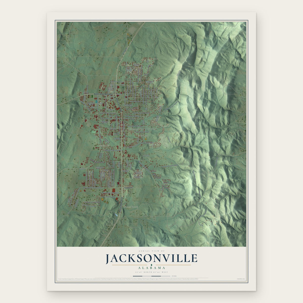
A new map of Jacksonville, Alabama, made in 2026 and printed to order on thick archival matte paper.
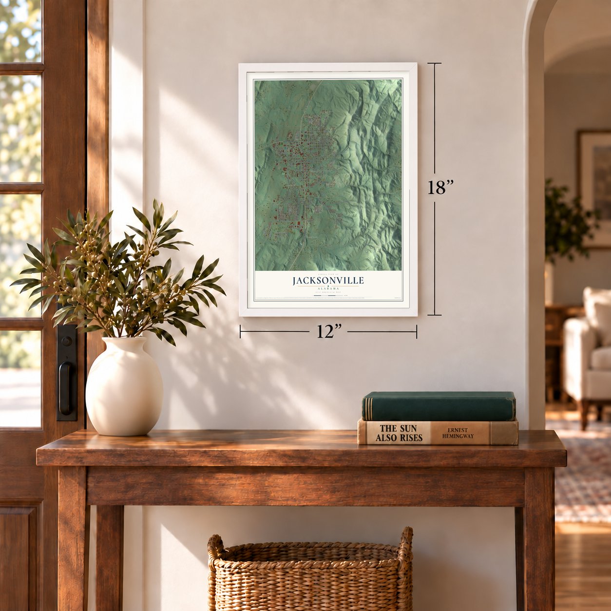
12" x 18" Archival Matte Print
A Map of Home. A Work of Art.
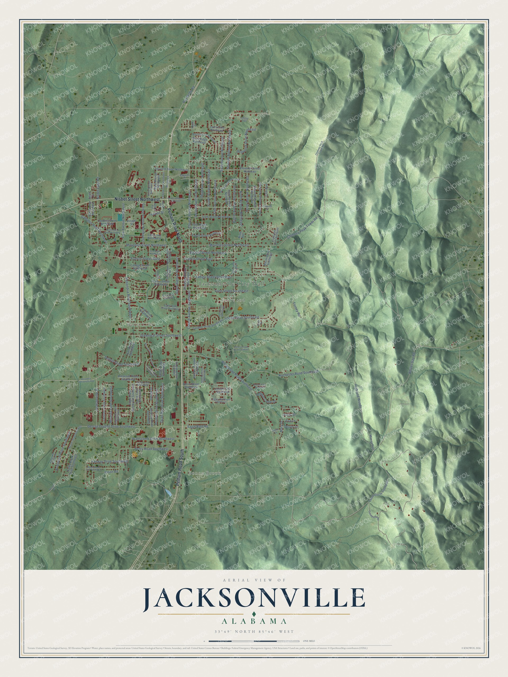
Explore Jacksonville, Alabama from a whole new perspective. Created using aerial imagery and detailed geographic data, this map captures Jacksonville building by building, with labeled streets, familiar landmarks, and shaded topographical relief that highlights the natural contours of the landscape.
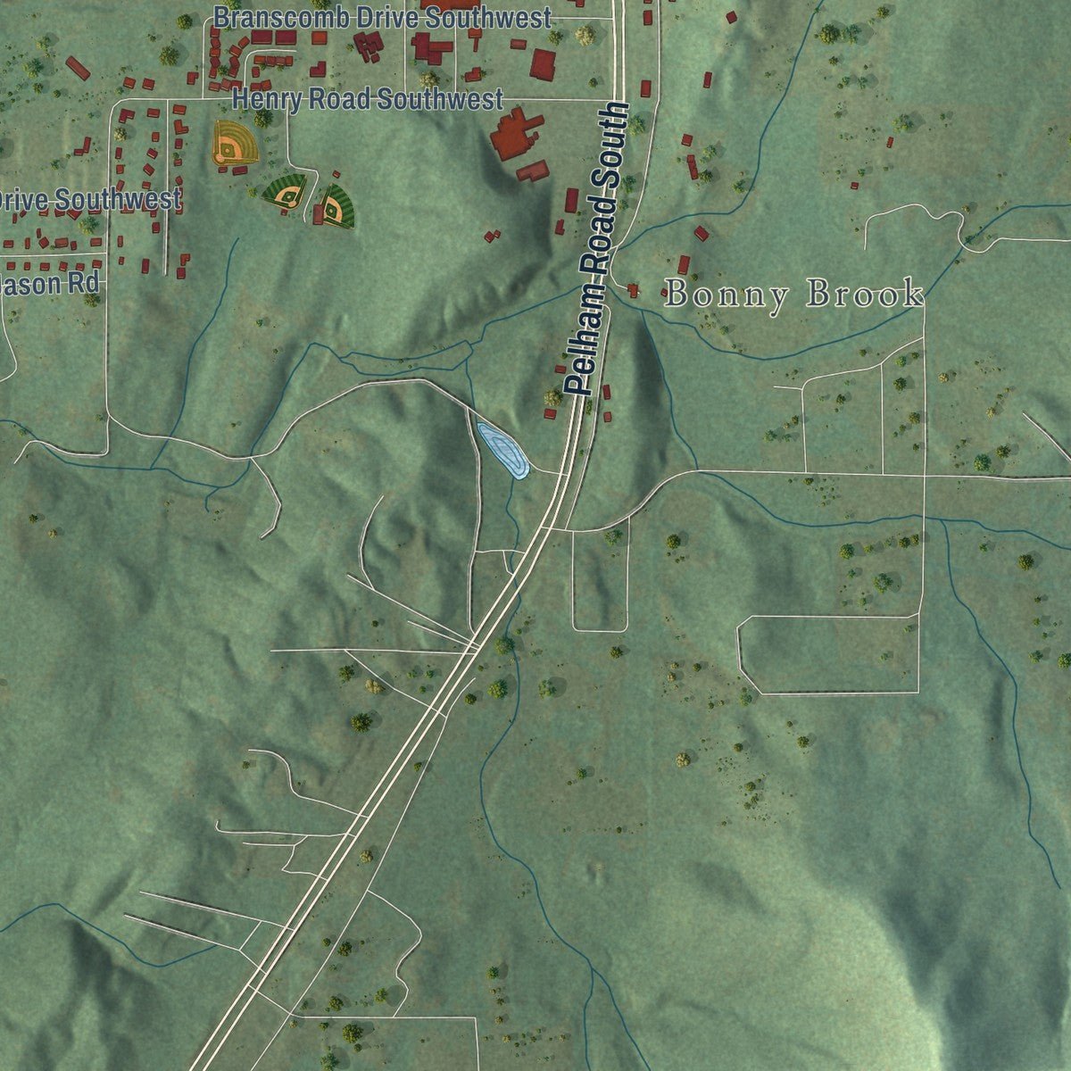
Combining modern data with the timeless character of a vintage atlas, this map is just as interesting up close as it is beautiful on the wall. Whether you grew up in Jacksonville, spent memorable years there, or call it home today, this unique map is a great way to celebrate a place that means something to you. Zoom in on the preview to look for your street, and then order a print to put your memories on the wall.
Three ways to hang it
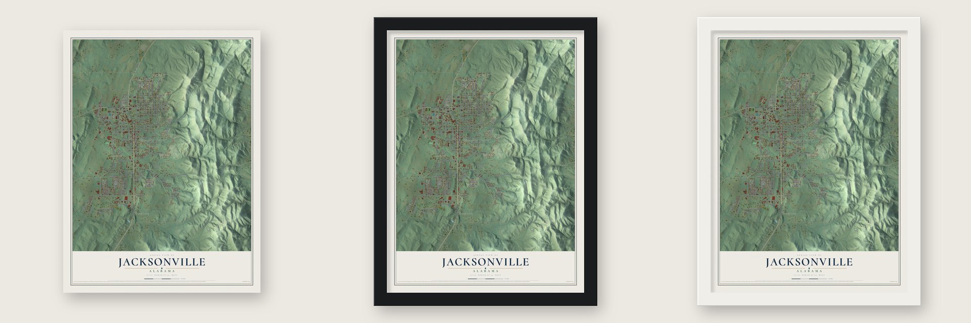
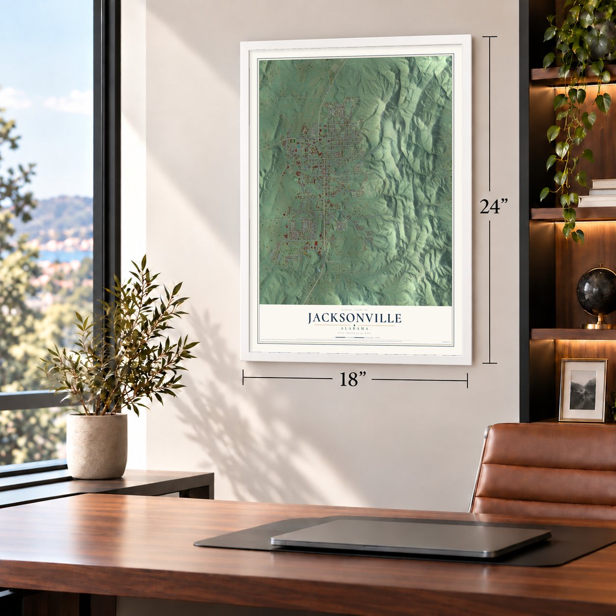
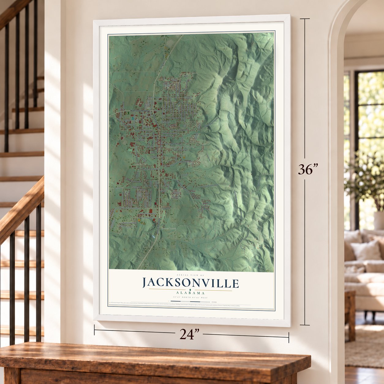
Unframed archival matte, a black wood frame or a white wood frame.
Up close
Geography Worth Displaying
This map was created using accurate cartographic data and authoritative geographic sources, including the U.S. Geological Survey and the Census Bureau. The map brings together terrain, waterways, roads, and building detail. The majority of the streets are labeled, houses are accurately depicted, and the topography is derived from government sources. Combining local data with carefully composed color and shading leads to this beautifully detailed Jacksonville artwork for your wall.
Rather than simply showing street outlines, we’ve included as many of the street names as we could reasonably fit on the map while keeping their names legible. Zoom in on the high resolution preview to see exactly what’s on the map. We truly set out to create a statement piece for anyone who loves Jacksonville. So whether it’s for you, or a gift for someone you love, we hope this map of Jacksonville brings back fond memories.
Read the story behind this map of Jacksonville, Alabama from 2026.

About Jacksonville, Alabama
Jacksonville is a city of 14,385 people in Calhoun County, in the foothills of the Appalachian Mountains. It grew on land bought on July 20, 1833, from a Creek Indian named Ho-bith Tus-tun-nuck-i, whom the buyers called Ladiga. The settlement was first called Drayton and became the seat of Benton County, with a courthouse built in 1833. It was renamed for President Andrew Jackson in 1834 and incorporated on January 9, 1836.
Cotton farming made the town wealthy, and planters built many large homes before the Civil War. By the 1840s, wooden pipes laid underground carried spring water to the center of town, and that system kept growing until it was shut down in the 1960s. In the early 1850s a rail line linked Jacksonville with Rome, Georgia. Benton County was renamed Calhoun County in 1858, and Jacksonville stayed the county seat until the seat moved to Anniston in 1899.
- Fire and a new school, 1883In 1883 a fire burned much of the town around the square, and the rebuilding that came after it gave Jacksonville an opera house. That same year the State Normal School opened in the buildings of Calhoun College, which had taken in the town's male and female academies in 1869. The school grew into Jacksonville State University in 1966. Its campus covers the site of Bellevue, the home of General Joseph William Burke, who helped start the town's Catholic church.
- Union Yarn Mill, 1906 to 2001Textile work arrived when the Union Yarn Mill opened in 1906. For decades it was one of the town's biggest employers, spinning yarn for apparel makers such as Fruit of the Loom, until it closed in 2001. Rick Bragg grew up near the city, in a community called Possum Trot. In his 2009 book The Most They Ever Had, he told the story of the workers who lost their jobs.
- Two officers of the 10th AlabamaWhen the 10th Alabama Volunteers were organized at Montgomery on June 4, 1861, both their colonel, John H. Forney, and their lieutenant colonel, James B. Martin, came from Jacksonville. Forney, a West Point graduate, had left the U.S. Army to serve Alabama and later rose to major general. The regiment spent four years fighting in Virginia, where Martin was killed in action. A marker on the town square honors Forney.
- Named for Andrew JacksonBefore it took the president's name in 1834, the town went by Drayton. The county was named too: Benton County honored Colonel T. H. Benton, a Creek War officer who became a U.S. Senator from Missouri. By 1858 his views had grown unpopular in the South, so the county took the name of Senator John C. Calhoun instead.
Find your street
Names on the Jacksonville map
Every name below is printed on this map. Look for your street, your school, the park where you played, or the pond down the road.
Places and landmarks4
- Jacksonville City Hall
- Bonny Brook
- Betta-Life
- Eastwood
Streets and roads133
- Pelham Road South
- Pelham Road North
- Nisbet Street Northwest
- Eighth Avenue Northeast
- Alexandria Road Southwest
- Jacksonville Street
- Mountain Street Northeast
- Church Avenue Northeast
- Chimney Peak Tower Road
- Church Avenue Southeast
- George Douthit Drive Southwest
- Forney Road
- Derek Drive
- Seventh Avenue Northeast
- Whites Gap Road Southeast
- Francis Street West
- Louise Drive Southeast
- Third Avenue Northeast
- Ladiga Street Southeast
- Highland Woods
- Rochester Road Southeast
- Mountain Street Northwest
- Whites Gap Road
- Fairway Drive Southwest
- Sixth Avenue Northeast
- Second Avenue Northeast
- Ninth Avenue Northeast
- Roy Webb Road
- Vann Street Southeast
- Second Street Northeast
Show all 133 streets
- Dennis Street Southwest
- Henry Road Southwest
- Trustee Street
- Fourth Avenue Northeast
- Fifth Avenue Northeast
- Forney Avenue Northwest
- Tenth Avenue Northeast
- Greenleaf Street Southwest
- Francis Street East
- Branscomb Drive Southwest
- Brierwood Place Southwest
- Park Avenue Northwest
- Gadsden Road Northwest
- Pointer Drive Southwest
- Quail Run Drive Southwest
- Miranda Lane Southwest
- Mary Drive
- Dogwood Drive Northeast
- Gayle Avenue Southwest
- Jones Street
- Eva Lane
- 13th Avenue
- Pebble Creek Drive
- Eagle Bald Road
- Nisbet Lake Road
- Jason Road
- Coffee Street Southwest
- Laurel Circle Southeast
- Twelfth Avenue Northeast
- Eleventh Street Northeast
- Sixth Street Northeast
- Gardner Drive Southeast
- College Street Southwest
- Carson Lane Southwest
- Eagle Crest Boulevard Southwest
- Delwood Drive Southwest
- Oak Avenue Northwest
- Jackson's Way Southwest
- Fifth Street Northeast
- Cole Drive Northwest
- Valley Brook Drive Southwest
- Parris Street Southeast
- Ivan Drive Southwest
- Eleventh Street Northwest
- Eleventh Avenue Northeast
- Fourth Street Northeast
- Hatcher Avenue Southeast
- West Avenue Northwest
- Laura Lane Northeast
- Lincoln Crst Southeast
- Wind Ridge Northeast
- Carolina Drive Northwest
- Chinabee Avenue Southeast
- Kay Drive Southwest
- Carrie Court Southwest
- Holly Avenue Northeast
- Macon Drive Southeast
- Village Street
- Almaroad Place Southwest
- Murray Trail
- Dorothy Drive
- Smith Circle
- Cam Court
- Ninth Avenue
- Woodward Drive
- Chimney Peck Tower Road
- Weaver Road Southwest
- Legacy Boulevard Southeast
- Mayfield Lane Northeast
- Cardinal Lane Northwest
- Lynn Drive Southeast
- Hunter Lane Southwest
- Sagewood Place Southwest
- Burke Avenue Northwest
- Eighty Oaks Street Southwest
- Englewood Drive Northeast
- Spring Avenue Northwest
- Seventh Street
- Stanton Avenue Southwest
- Iola Drive Northwest
- Green Avenue Southeast
- Cottaquilla Road
- Nelson Avenue
- Loberry Trail
- Harwell Avenue
- Edwards Street
- Starla Lane
- Davis Street
- Alexandria Jacksonville Highway
- Eighth Avenue Southeast
- Miss Annies Drive Southwest
- Patterson Lake Road Southeast
- Stoney Brook Drive Southwest
- Morningside Drive Northeast
- Spring Avenue Southwest
- Washington Street Northwest
- Bennett Boulevard Northeast
- Ryleigh Way Southwest
- Wilson Drive Southwest
- Elizabeth Road Southwest
- Groves Pass Southeast
- College Street
- Weaver Road
Names are listed as they appear on the printed map. Zoom into the product photos to find them.
The art of mapping a place
How This Map Was Made
Real places. Remarkable detail. Discover the layers that turn geographic data into a map of home.

The view from above
Aerial imagery reveals the character of the land: woodland, open fields, and the patterns of a place.

The shape of the land
Elevation data brings hills, valleys, and subtle changes in the landscape into view.

The details of home
Roads, waterways, and building footprints come together to make the map feel unmistakably local.

Geography becomes art
Considered color, shading, and typography bring the layers together in a map made for your wall.


Process illustrated with Mendon, Massachusetts. Aerial imagery: USDA NAIP. Terrain: USGS 3D Elevation Program. Map details and finished artwork: KNOWOL.
The Details
About This Print
Choose an archival matte print, or a black or white Ayous wood frame. The archival matte print is unframed.
Select your size and finish above to see the matching product image and price.
Materials & Craftsmanship
A contemporary map with the character of a classic atlas, printed on archival matte paper. Optional frames are made from Ayous wood.
Your printed map does not include the watermark shown in the full-map preview.
Shipping & Delivery
Free shipping within the United States. Every print is made to order in the USA.
Buying a gift? Add a note in your cart and we'll include it. We never put prices in the package.
Prints ship within 2 to 3 business days. Allow 7 to 10 days total from ordering for delivery. Timing may vary during holidays or periods of high order volume.
Read our shipping policy.
Returns and damaged prints
Each print is made to order. Change-of-mind refunds are not available after production.
If your print arrives damaged, misprinted or incorrect, contact support@knowol.com within 30 days of receiving it. Include your order number, photos and a description of the issue.
Read our full refund and replacement policy. For questions about your order, email support@knowol.com.
Find your town
Looking for another city?
Find a map of home in our Alabama collection, or any town in the country.
Nearby
Maps of towns near Jacksonville
Know someone from one of these towns? Their map makes a great gift.
 Weaver
, Alabama
From $39.99See the map
 White Plains
, Alabama
From $39.99See the map
 Nances Creek
, Alabama
From $39.99See the map
More maps nearby: Alexandria, Saks, Anniston, Choccolocco and Piedmont.