
Search for another town

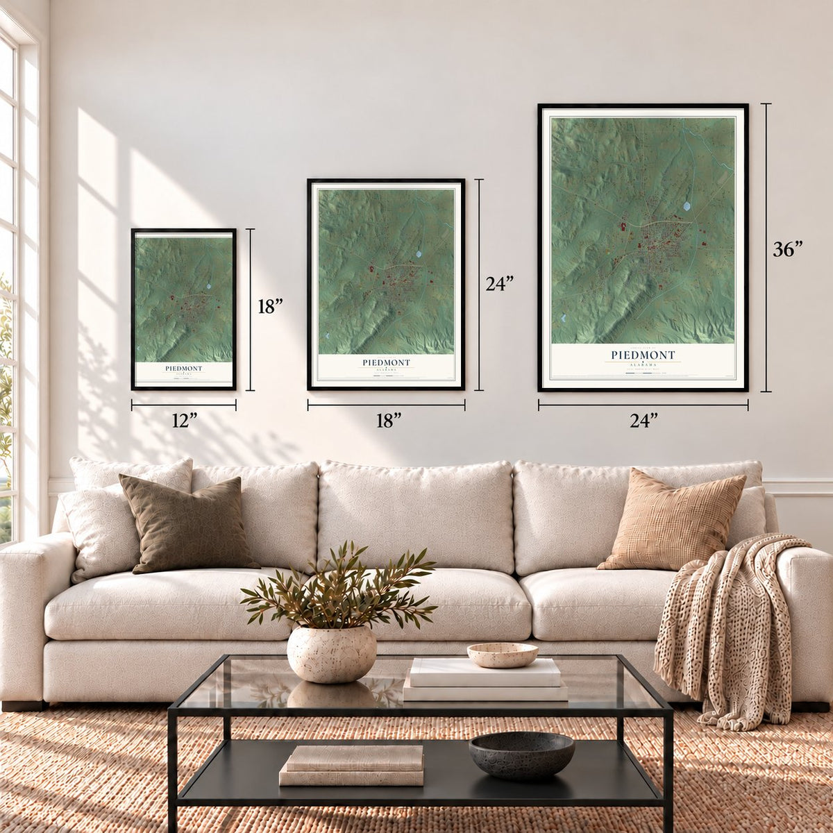

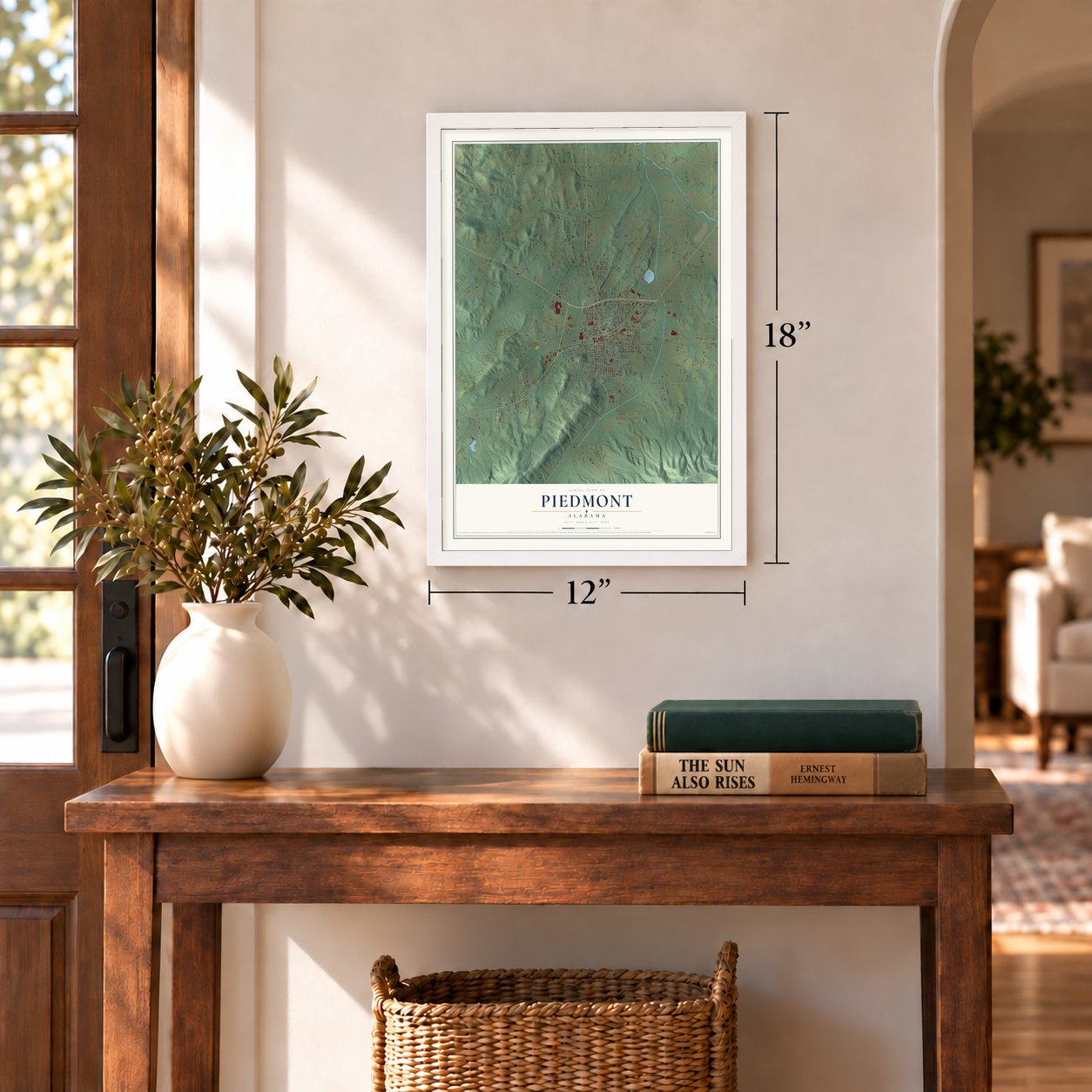
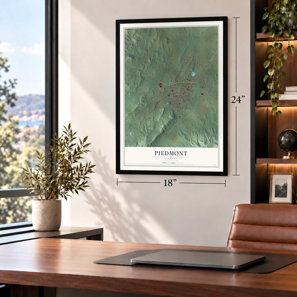
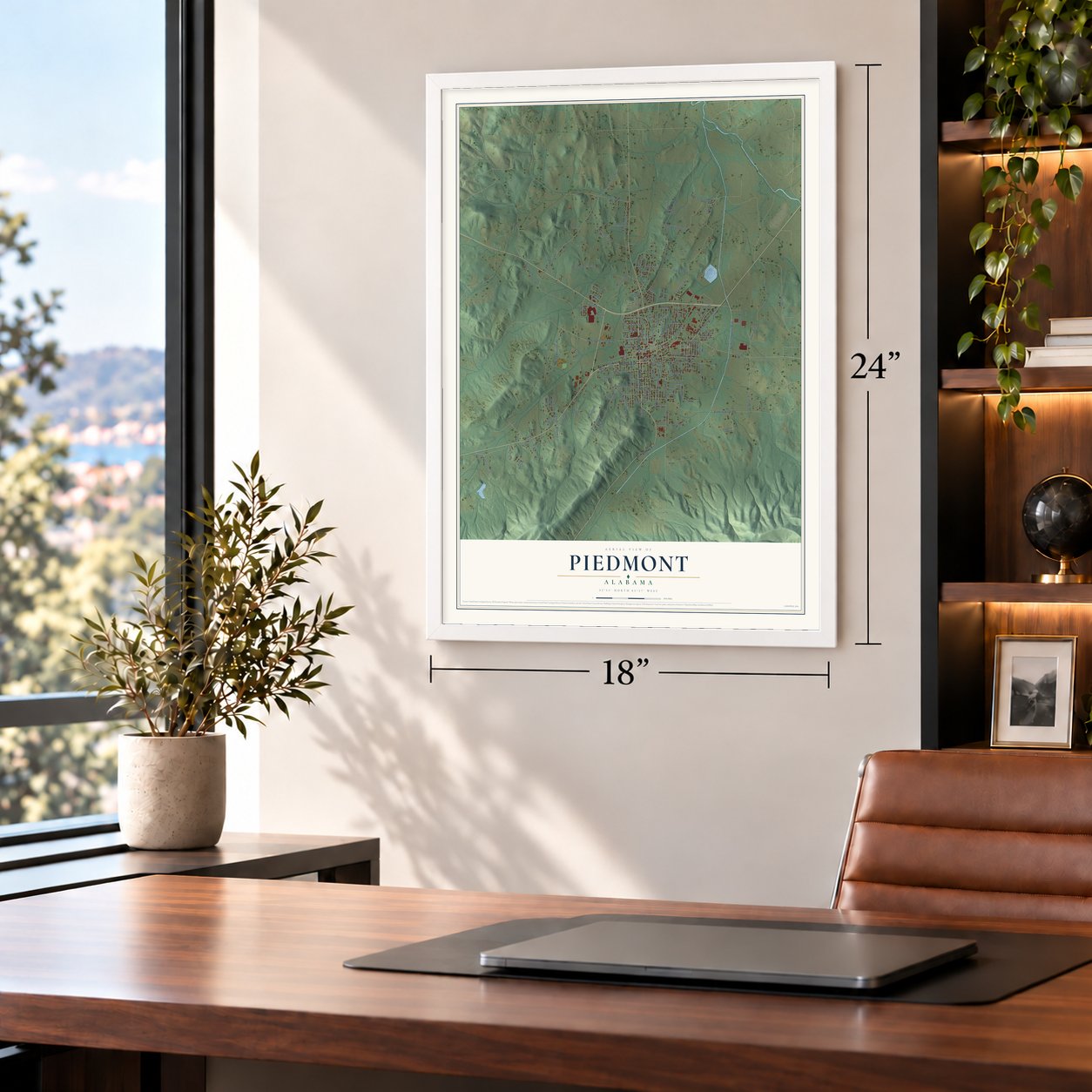
Free U.S. delivery 7 to 10 days after you order
Piedmont, Alabama Map Art
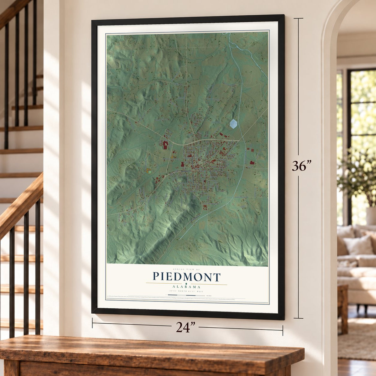
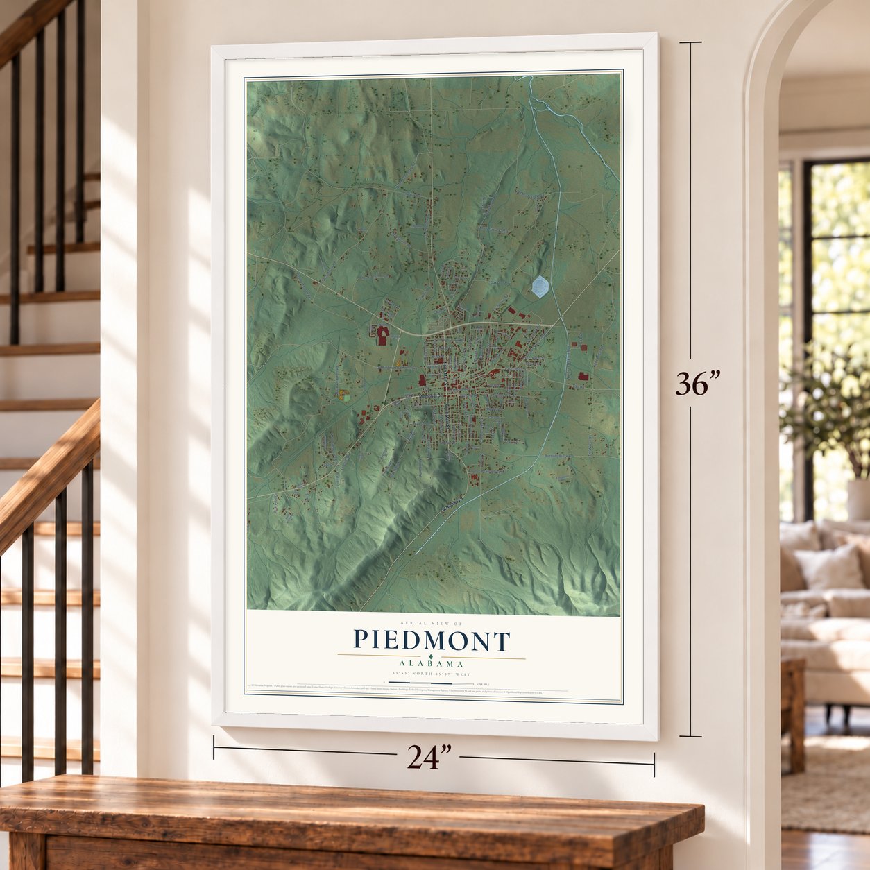
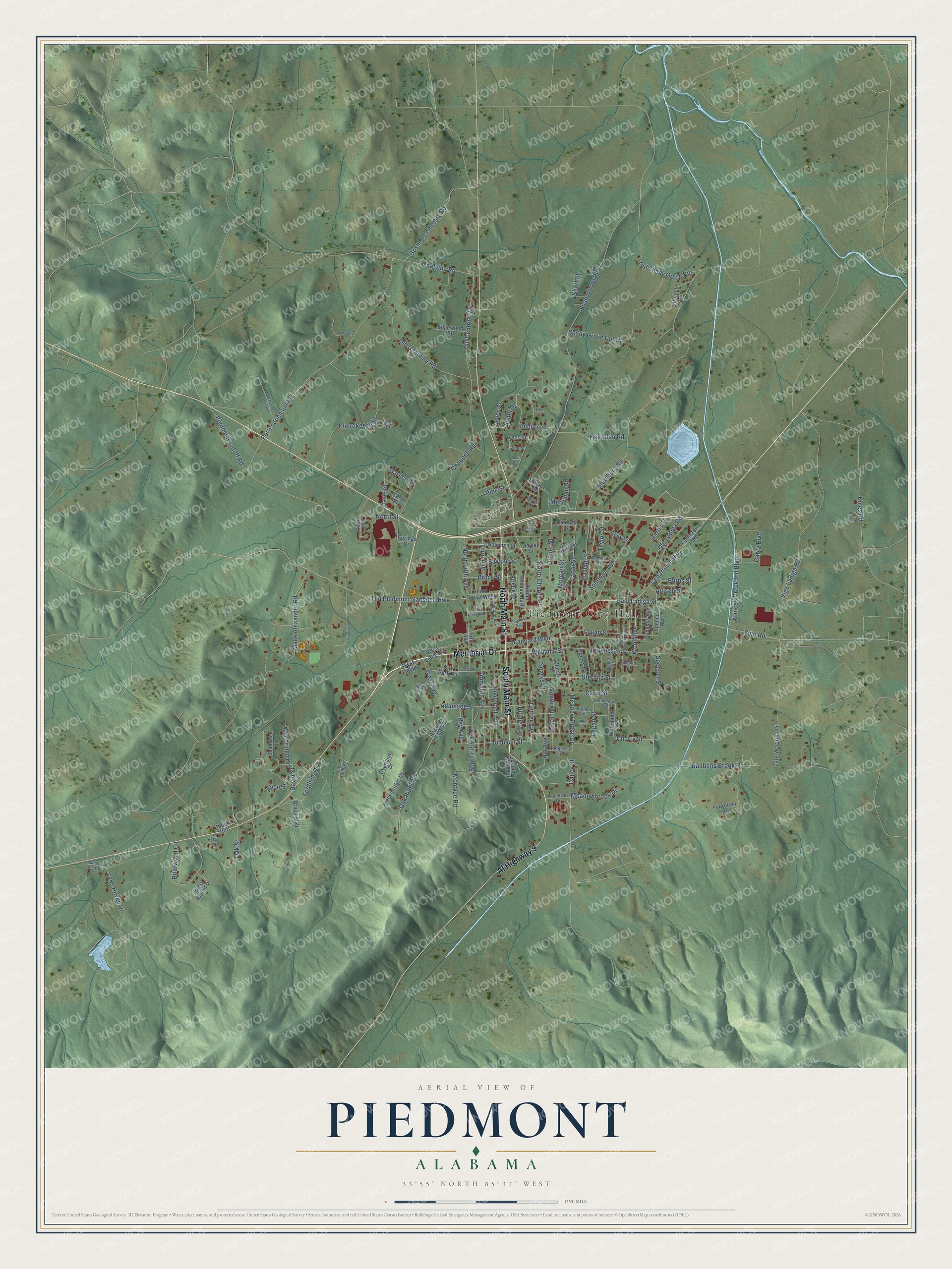
A new map of Piedmont, Alabama, made in 2026 and printed to order on thick archival matte paper.
12" x 18" Archival Matte Print
A Map of Home. A Work of Art.
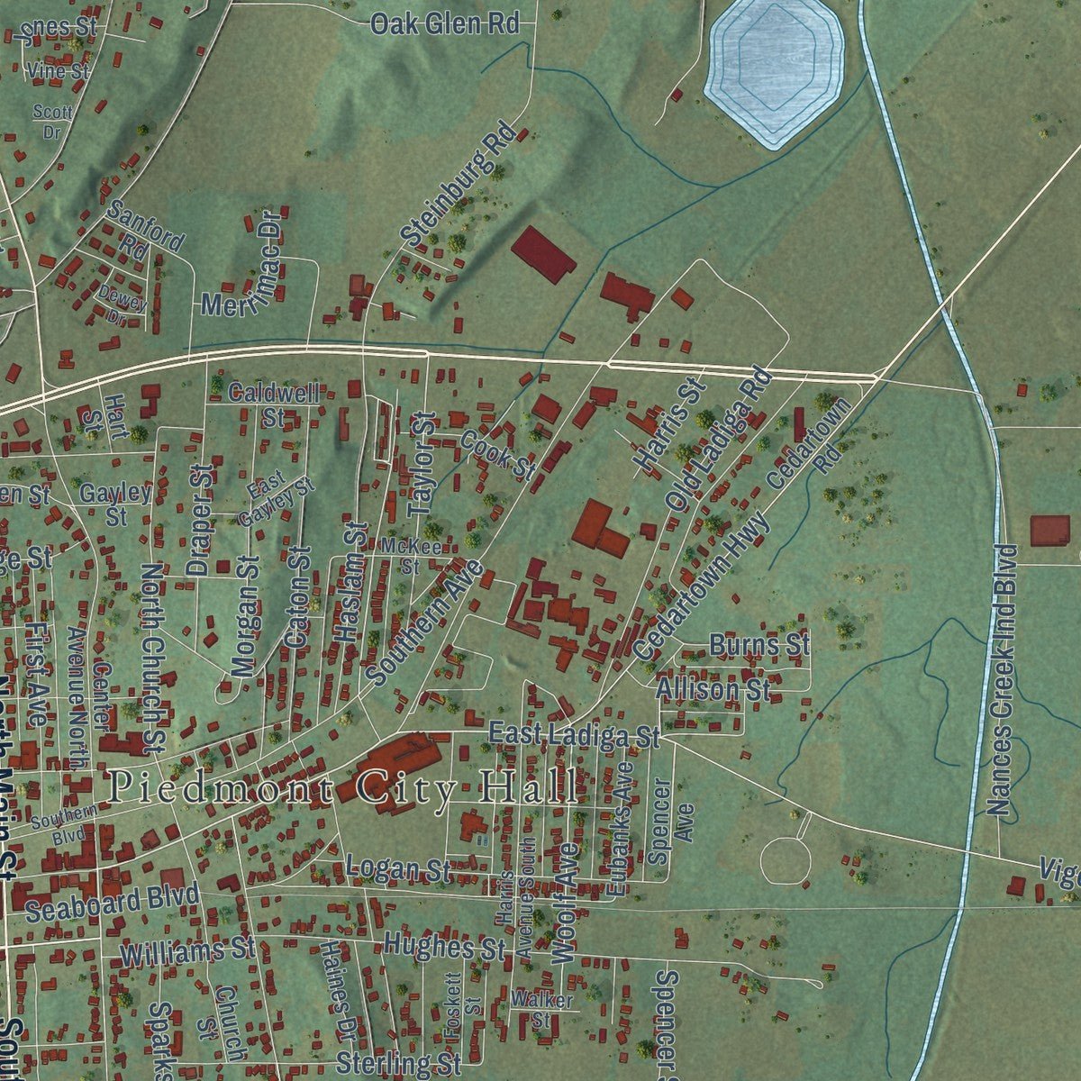
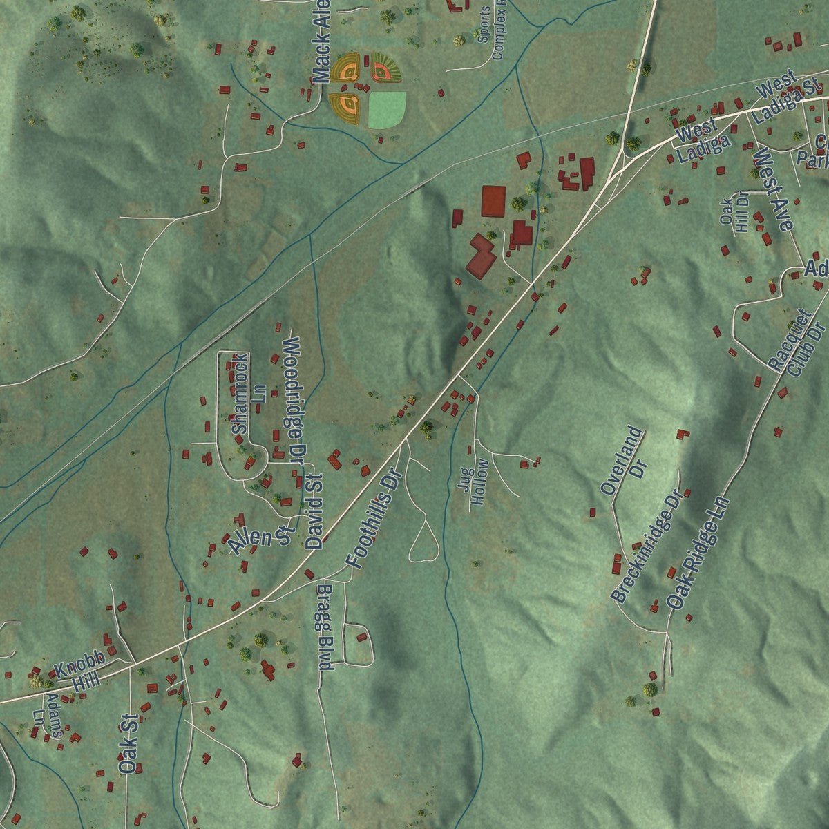
Explore Piedmont, Alabama from a whole new perspective. Created using aerial imagery and detailed geographic data, this map captures Piedmont building by building, with labeled streets, familiar landmarks, and shaded topographical relief that highlights the natural contours of the landscape.
Combining modern data with the timeless character of a vintage atlas, this map is just as interesting up close as it is beautiful on the wall. Whether you grew up in Piedmont, spent memorable years there, or call it home today, this unique map is a great way to celebrate a place that means something to you. Zoom in on the preview to look for your street, and then order a print to put your memories on the wall.
Three ways to hang it
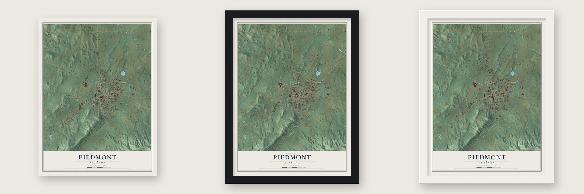
Unframed archival matte, a black wood frame or a white wood frame.
Up close
Geography Worth Displaying
This map was created using accurate cartographic data and authoritative geographic sources, including the U.S. Geological Survey and the Census Bureau. The map brings together terrain, waterways, roads, and building detail. The majority of the streets are labeled, houses are accurately depicted, and the topography is derived from government sources. Combining local data with carefully composed color and shading leads to this beautifully detailed Piedmont artwork for your wall.
Rather than simply showing street outlines, we’ve included as many of the street names as we could reasonably fit on the map while keeping their names legible. Zoom in on the high resolution preview to see exactly what’s on the map. We truly set out to create a statement piece for anyone who loves Piedmont. So whether it’s for you, or a gift for someone you love, we hope this map of Piedmont brings back fond memories.
Read the story behind this map of Piedmont, Alabama from 2026.

About Piedmont, Alabama
Piedmont is a city of 4,787 people in Calhoun County, and a piece of it reaches into Cherokee County. People began settling here in the 1840s, where two early mail roads crossed. Major Jacob Forney Dailey came from North Carolina in 1848, bought land and called the place Cross Plains, and a post office under that name opened on September 22, 1851. The settlement also went by Griffen's Creek and by Hollow Stump, said to be because mail was once dropped off and collected in a hollow stump.
The Selma, Rome and Dalton Railroad laid its tracks through town in 1868. Cross Plains got its first newspaper, the Cross Plains Democrat, a year before it was incorporated in 1871. In 1888 the U.S. Postal Service gave the town its present name, taken from the Piedmont region where it sits, a word for the foothills of a larger mountain range. Mountains rise on the city's south and east sides, and Duggar Mountain, at 2,140 feet the second highest point in Alabama, can be seen from most of town.
- Ladiga skirmish, 1864On October 28, 1864, Ferguson's cavalry turned back the larger force of Kilpatrick here. It was the last fighting between the armies of Hood and Sherman, which had battled all summer from Chattanooga to Atlanta and then west to this ground. Afterward Sherman turned east and led his troops on the March to the Sea, while Hood pulled back toward Tennessee and fought at Franklin and Nashville.
- A depot from 1867Piedmont's depot dates to 1867 and served the Selma, Rome and Dalton Railroad. That company went broke, and in 1881 the East Tennessee, Virginia and Georgia Railroad took over its line in receivership. Now called the Southern Railway Depot, the building joined the National Register in 1984, and the Piedmont Historical Society runs it as the town museum, with a Southern Railroad caboose beside the original loading dock.
- From 381 to 3,000The town counted 381 people in 1880, 1,745 in 1900 and 3,000 by 1916. A state history of that period found two banks, the First National and the Farmers & Merchants Bank, along with large cotton mills, two cotton gins, a rim-binding factory and the Piedmont Journal, a Democratic weekly started in 1907.
- The Cotton Mill, 1892 to 1995Local people simply called it the Cotton Mill. Founded in Piedmont in 1891, the Standard Coosa-Thatcher Company started its mill in 1892 and sold shares to the public from 1922. It spread across the Southeast and into the western United States and was the area's main employer for nearly a century. The mill closed in 1995. Demolition began in 2016, and over about two years workers took it down, saving lumber more than 100 years old to sell.
- Chief Ladiga Trail since 1990The Chief Ladiga Trail began in Piedmont in 1990, laid on the bed of the old Seaboard/CSX Railroad and paved for walkers and cyclists. Joined with the Silver Comet Trail, it runs nearly 100 miles from Anniston to Atlanta. For trail riders, the historical society moved the Roberts House, built in the late 1800s and thought to be one of the area's first homes, to 75 Southern Boulevard and opened it as a museum and two-bedroom hotel.
Find your street
Names on the Piedmont map
Every name below is printed on this map. Look for your street, your school, the park where you played, or the pond down the road.
Places and landmarks1
- Piedmont City Hall
Streets and roads145
- Memorial Drive
- South Main Street
- North Main Street
- Al Highway 9
- East Ladiga Street
- Center Avenue
- Taylor Street
- Cherry Street
- Spencer Street
- Southern Avenue
- North Church Street
- South Church Street
- Short Street
- Steinburg Road
- Dailey Street
- Shady Grove Road
- Babbling Brook Road
- Mack Alexander Road
- Porter Johnson Road
- Vigo Ladiga Road
- Vigo Road
- Old Centre Highway
- Gnatville Road
- Old Piedmont Gadsden Highway
- James Street
- Shady Grove Cutoff
- Hughes Street
- Hill Avenue
- Old Gnatville Road
- Cedartown Highway
Show all 145 streets
- Briarwood Circle
- Montvue Road
- Anniston Avenue
- Chappell Road
- Oak Ridge Lane
- Piedmont Cutoff Road
- North Fifth Avenue
- South Fifth Avenue
- Adamson Street
- Nances Creek Ind Boulevard
- Old Ladiga Road
- Cherokee Trail
- Haslam Street
- Garner Drive
- Johnson Street
- Third Avenue
- Garcy Boulevard
- Meadow Ridge Drive
- Caton Street
- Gunter Drive
- Logan Street
- Foothills Drive
- Piedmont Avenue
- Oak Glen Road
- Old Shady Grove Road
- The Wagon Road
- Sterling Street
- Draper Street
- Goshen Cemetary Road
- Woolf Avenue
- Lake Haven Drive
- Ray Avenue
- Morgan Street
- Seaboard Boulevard
- First Avenue
- Savage Street
- Oak Street
- Riddle Avenue
- Allison Street
- Brock Street
- West Avenue
- Meadowbrook Drive
- Carol Street
- Woodridge Drive
- Fagan Street
- David Street
- North Street
- Sparks Street
- Harris Street
- Merrimac Drive
- Williams Street
- Burns Street
- Auburn Street
- Davis Street
- Kines Road
- Allen Street
- Pine Street
- Spencer Avenue
- Racquet Club Drive
- Woodland Avenue
- Fifth Avenue
- Ginter Avenue
- Cedartown Road
- Center Avenue North
- West Ladiga Street
- Forgotten Road
- Shamrock Lane
- Breckinridge Drive
- Gadsden Street
- Hood Street West
- Eubanks Avenue
- Sanford Road
- Overland Drive
- Springs Drive
- Littlejohn Drive
- Gayley Street
- City Park Road
- Pine Glenn Drive
- Bragg Boulevard
- Church Street
- Edgewood Street
- Haines Drive
- Jones Street
- Cook Street
- West Ladiga
- Caldwell Street
- Kelly Drive
- Knobb Hill
- Hart Street
- Dempsey Avenue
- McKee Street
- Harris Avenue South
- Second Avenue
- Ridgeway Drive
- Vandy Avenue
- East Gayley Street
- Foskett Street
- Oak Hill Drive
- Roundtree Drive
- Ingram Drive
- Adams Lane
- Jug Hollow
- Walker Street
- Vine Street
- Calhoun Street
- Katoma Creek Road
- Southern Boulevard
- Sports Complex Road
- Diamond Rock Road
- West Alabama Street
- White Street
- Scott Drive
- McCurdy Lane
- Dewey Drive
- Linda Street
Names are listed as they appear on the printed map. Zoom into the product photos to find them.
The art of mapping a place
How This Map Was Made
Real places. Remarkable detail. Discover the layers that turn geographic data into a map of home.

The view from above
Aerial imagery reveals the character of the land: woodland, open fields, and the patterns of a place.

The shape of the land
Elevation data brings hills, valleys, and subtle changes in the landscape into view.

The details of home
Roads, waterways, and building footprints come together to make the map feel unmistakably local.

Geography becomes art
Considered color, shading, and typography bring the layers together in a map made for your wall.


Process illustrated with Mendon, Massachusetts. Aerial imagery: USDA NAIP. Terrain: USGS 3D Elevation Program. Map details and finished artwork: KNOWOL.
The Details
About This Print
Choose an archival matte print, or a black or white Ayous wood frame. The archival matte print is unframed.
Select your size and finish above to see the matching product image and price.
Materials & Craftsmanship
A contemporary map with the character of a classic atlas, printed on archival matte paper. Optional frames are made from Ayous wood.
Your printed map does not include the watermark shown in the full-map preview.
Shipping & Delivery
Free shipping within the United States. Every print is made to order in the USA.
Buying a gift? Add a note in your cart and we'll include it. We never put prices in the package.
Prints ship within 2 to 3 business days. Allow 7 to 10 days total from ordering for delivery. Timing may vary during holidays or periods of high order volume.
Read our shipping policy.
Returns and damaged prints
Each print is made to order. Change-of-mind refunds are not available after production.
If your print arrives damaged, misprinted or incorrect, contact support@knowol.com within 30 days of receiving it. Include your order number, photos and a description of the issue.
Read our full refund and replacement policy. For questions about your order, email support@knowol.com.
Find your town
Looking for another city?
Find a map of home in our Alabama collection, or any town in the country.
Nearby
Maps of towns near Piedmont
Know someone from one of these towns? Their map makes a great gift.
 Spring Garden
, Alabama
From $39.99See the map
 Nances Creek
, Alabama
From $39.99See the map
 Jacksonville
, Alabama
From $39.99See the map
More maps nearby: Edwardsville, White Plains, Ballplay, Hokes Bluff and Centre.