
Search for another town





Free U.S. delivery 7 to 10 days after you order
Johns Creek, Georgia Map Art
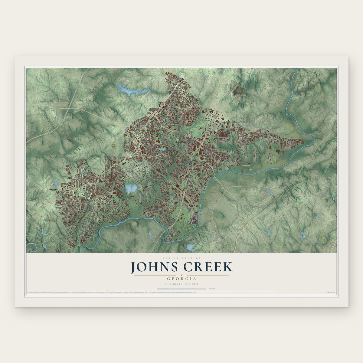
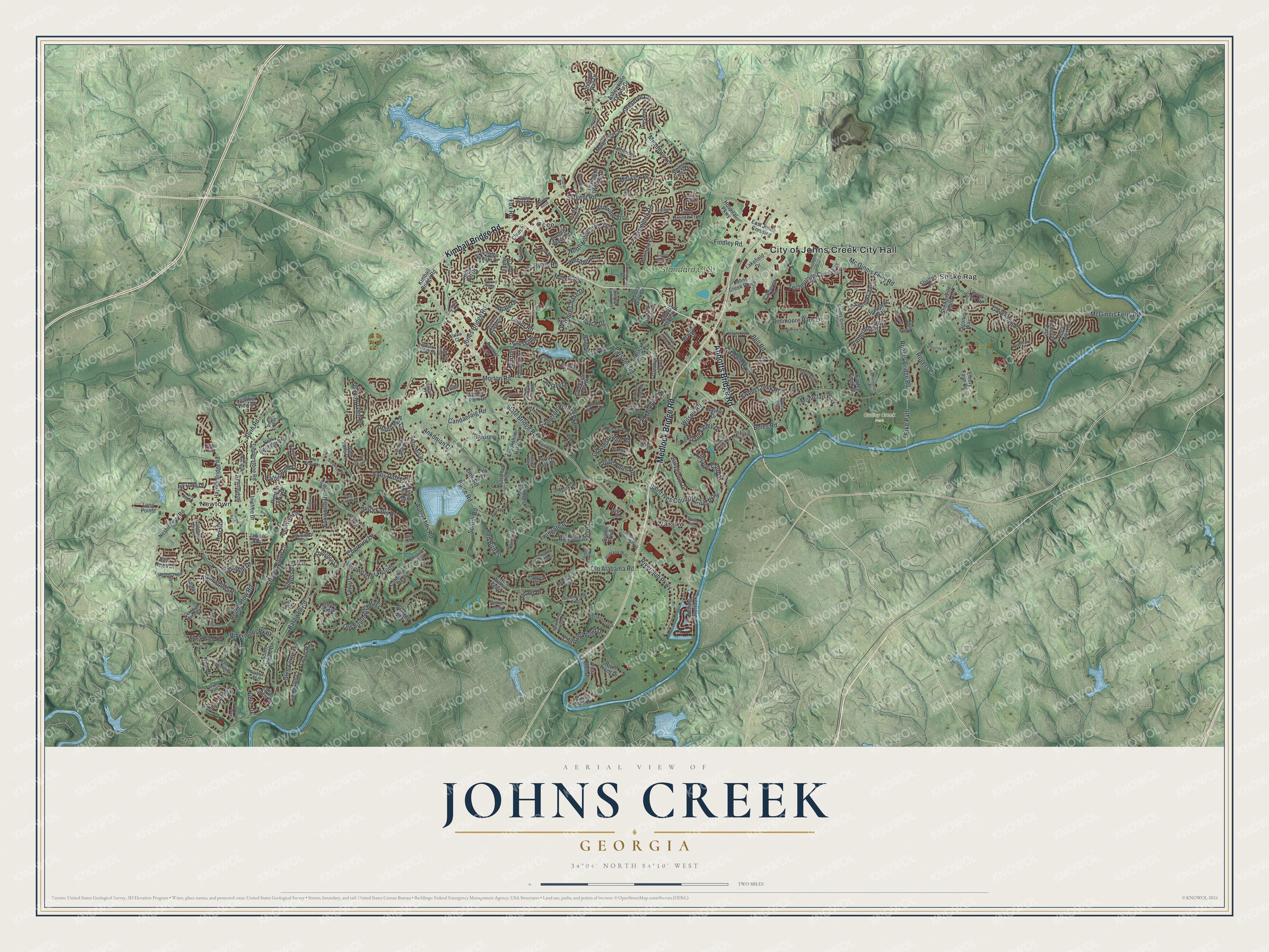
A new map of Johns Creek, Georgia, made in 2026 and printed to order on thick archival matte paper.
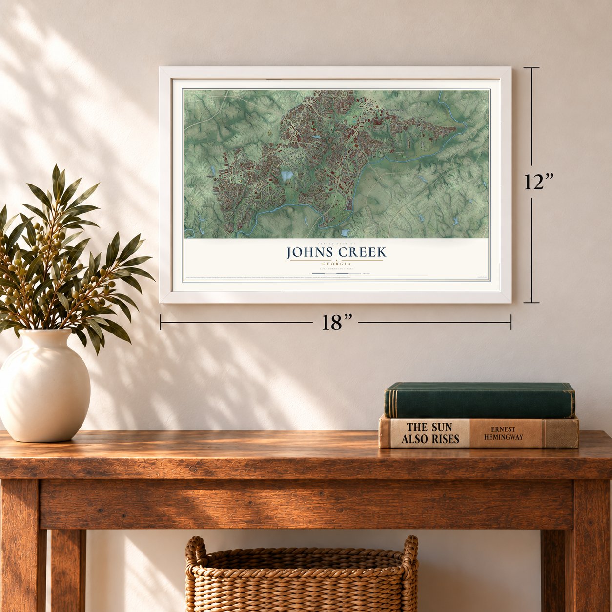
12" x 18" Archival Matte Print
A Map of Home. A Work of Art.
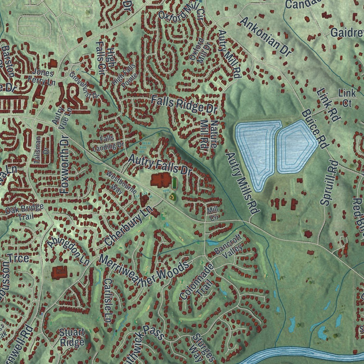
Explore Johns Creek, Georgia from a whole new perspective. Created using aerial imagery and detailed geographic data, this map captures Johns Creek building by building, with labeled streets, familiar landmarks, and shaded topographical relief that highlights the natural contours of the landscape.
Combining modern data with the timeless character of a vintage atlas, this map is just as interesting up close as it is beautiful on the wall. Whether you grew up in Johns Creek, spent memorable years there, or call it home today, this unique map is a great way to celebrate a place that means something to you. Zoom in on the preview to look for your street, and then order a print to put your memories on the wall.
Three ways to hang it
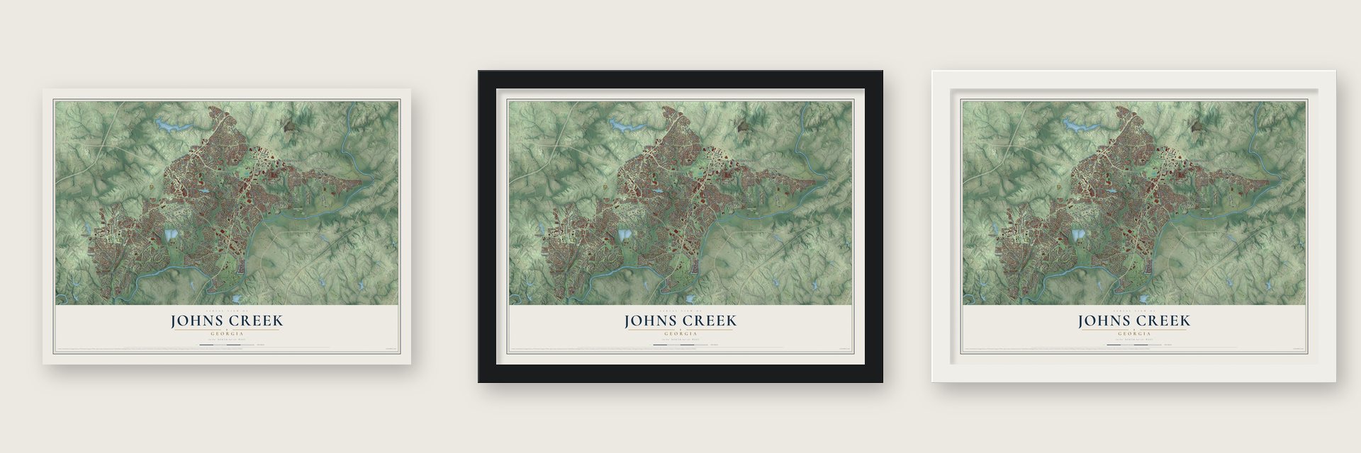
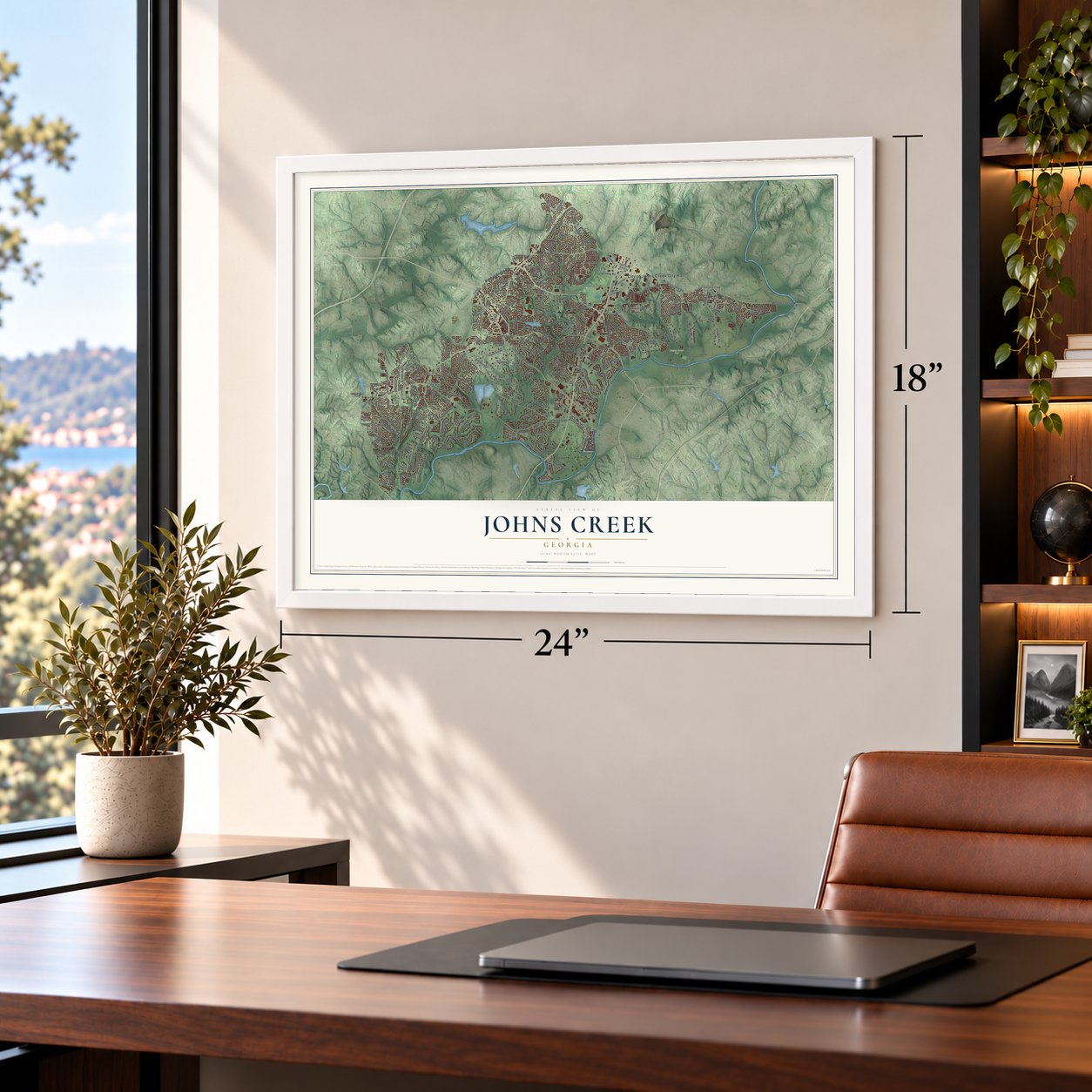
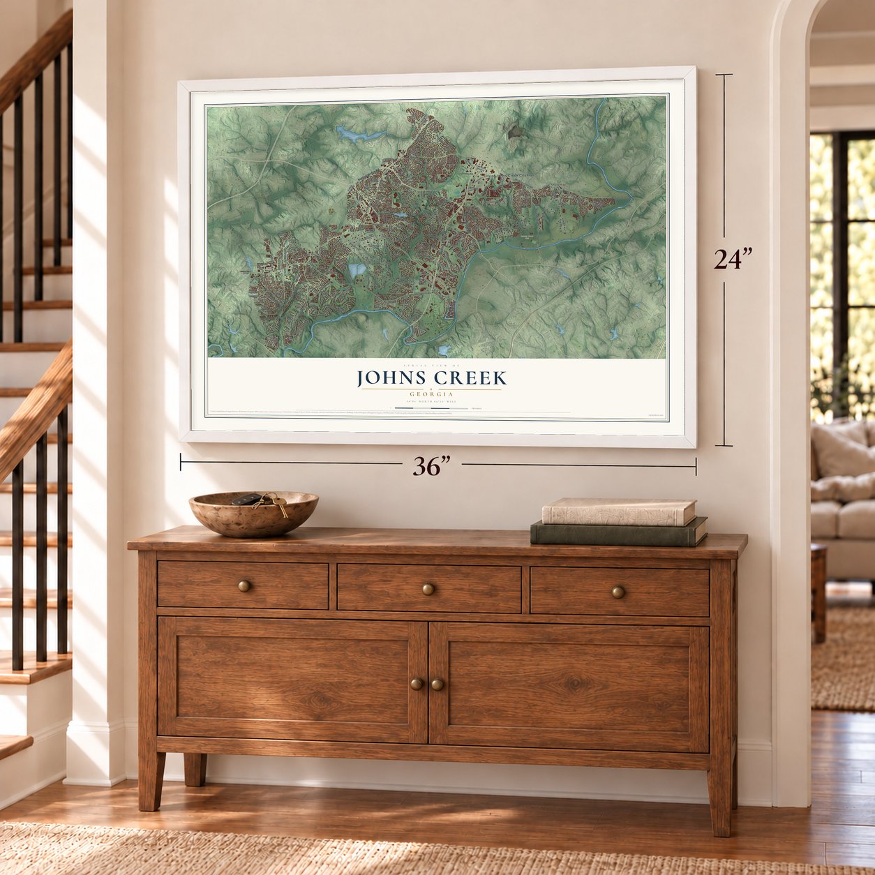
Unframed archival matte, a black wood frame or a white wood frame.
Up close
Geography Worth Displaying
This map was created using accurate cartographic data and authoritative geographic sources, including the U.S. Geological Survey (USGS) and FEMA. The map brings together terrain, waterways, roads, and building detail. The majority of the streets are labeled, houses are accurately depicted, and the topography is derived from government sources. Combining local data with carefully composed color and shading leads to this beautifully detailed Johns Creek artwork for your wall.
Rather than simply showing street outlines, we’ve included as many of the street names as we could reasonably fit on the map while keeping their names legible. Zoom in on the high resolution preview to see exactly what’s on the map. We truly set out to create a statement piece for anyone who loves Johns Creek. So whether it’s for you, or a gift for someone you love, we hope this map of Johns Creek brings back fond memories.
Explore the full map of Johns Creek, Georgia and read about the local places it shows.
About Johns Creek, Georgia
Johns Creek is a city of 82,453 people in Fulton County, on the Chattahoochee River northeast of Atlanta. In the early 1800s this was Cherokee land, and trading posts by the river slowly grew into crossroads where pioneer families such as the Rogers, McGinnis and Medlock households met to sell their crops. By 1820 the McGinnis and Rogers ferries took people and livestock over the river at Sheltonville, also called Shakerag, while the Nesbit Ferry served Newtown farther south.
The area belonged to Milton County from 1858 until that county was dissolved in the Great Depression and its land went to Fulton County. Ocee, Newtown, Sheltonville and Warsaw stayed rural for decades. Later, residents who wanted more say over traffic and growth pushed for a city of their own, and after Sandy Springs incorporated in 2005, the legislature passed House Bill 1321. Voters approved it on July 18, 2006, and Johns Creek became a city on December 1, 2006.
- Named for a Rogers sonJohn Rogers (1774 to 1851) was a plantation owner here and a colleague of Andrew Jackson. His wife, Sarah Cordery (1785 to 1842), was Cherokee and stayed when most of her people were forced west. Jackson spent nights at the Rogers home of 1828, which still stands as a private house, and the humorist Will Rogers later visited it. A creek took its name from their son Johnson K. Rogers, and in time the whole area did too.
- Technology Park/Johns CreekIn 1981 a group of Georgia Tech graduates bought 1,700 acres of farms and woodland close to McGinnis Ferry Road and Medlock Bridge Road, planning a high-tech office park. They spotted the little creek on an old map and named the project Technology Park/Johns Creek, the first time the name marked a place. About 200 companies and nearly 11,000 workers came, and the homes and stores that followed lifted the population to about 60,000.
- Newtown Elementary, 1929Newtown Elementary School was built in 1929 in the old Newtown crossroads community. It joined the National Register of Historic Places in August 2006, a few months before the new city was official, so the listing placed it near Alpharetta.
- Home of the 2011 PGA ChampionshipGolf's 2011 PGA Championship was played at the Atlanta Athletic Club in Johns Creek, and the club welcomed the U.S. Amateur in 2014. In 2010 it also held the first Atlanta Tennis Championships.
Find your street
Names on the Johns Creek map
Every name below is printed on this map. Look for your street, your school, the park where you played, or the pond down the road.
Places and landmarks7
- City of Johns Creek City Hall
- Cauley Creek Park
- Newtown
- Ocee
- Shake Rag
- Warsaw
- Standard Club
Streets and roads260
- Abbotts Bridge Road
- Kimball Bridge Road
- Medlock Bridge Road
- State Bridge Road
- Rogers Bridge Road
- McGinnis Ferry Road
- Jones Bridge Road
- Old Alabama Road
- Buice Road
- Bell Road
- Old Southwick Pass
- Barnwell Road
- Morton Road
- Parsons Road
- Brumbelow Road
- Saint Ives Country Club Parkway
- Sargent Road
- Mc Ginnis Ferry Road
- Findley Road
- Twingate Drive
- Rogers Circle
- Arborwoods Drive
- Taylor Road
- Cavendish Place
- Candacraig Road
- Merriweather Woods
- Cameron Forest Parkway
- Rivermont Parkway
- Millwick Drive
- Groomsbridge Road
Show all 260 streets
- Technology Circle
- Riverclub Parkway
- Rod Road
- North Hillbrooke Trce
- Bellmoore Park Lane
- Boles Road
- Bike Path
- Bannergate Drive
- Stoney Ridge Lane
- Byers Road
- Red Bird Lane
- Sweet Creek Road
- Magnolia Circle
- Montclair Way
- Autry Falls Drive
- Chelsen Wood Drive
- Preserve Circle
- Wilson Road
- Alvin Road
- Lake Medlock Drive
- Grove Point Road
- Mortons Crossing
- Vintage Club Drive
- Falls Ridge Drive
- Ashwind Trce
- Barwick Lane
- Crossington Road
- Wilshire Chase Drive
- Ascott Valley Drive
- Amberleigh Way
- Hartridge Drive
- Aubusson Trce
- Agate Drive
- Patterstone Drive
- Cherbury Lane
- Spruill Road
- Dinant Drive
- Autry Mills Road
- Glen Ferry Drive
- Colony Glen Drive
- Westbury Lane
- Meadows Lane
- Ankonian Drive
- Almaviva Lane
- Gaidrew Lane
- Foxworth Drive
- Aviary Drive
- Murets Road
- Nile Drive
- Royce Drive
- Niblic Drive
- Fox Road
- Link Road
- Lexington Woods Drive
- Johns Creek Parkway
- Timberstone Road
- Oxford Mill Circle
- Lakefield Drive
- Hospital Parkway
- Haynes Bridge Road
- Colony Club Drive
- Glenhurst Pass
- Hampstead Way
- Buttercup Trce
- Farmbrook Lane
- Etching Overlook
- Devonhall Way
- River Trace Drive
- Embry Farm Road
- Commons Lane
- Gates Terrace
- Autry Mill Road
- Quailbrook Chase
- New Heritage Drive
- Vista Bluff Drive
- Concord Hall Drive
- Ballybunion Drive
- Abbotts Station Drive
- Hampton Square Drive
- Ashewoode Downs Drive
- Song Breeze Trce
- Brookshire Lake Drive
- Creekside Park Drive
- Sheltonville Alpha Road
- Cauley Creek Drive
- Eagle Glen Road
- Fernly Park Drive
- Nesbit Ferry Road
- Colton Crest Drive
- Regal Forest Drive
- South Mount Drive
- Abingdon Lane
- Carlisle Lane
- Ivey Oaks Lane
- Bayhill Drive
- Bentham Court
- Barston Court
- Lake Glen Court
- Preserve Lane
- East Johns Crossing
- Laurel Way
- Avian Drive
- Lahontan Pass
- Dunhill Place Drive
- Bossier Drive
- Bristol Parkway
- Colonnade Trail
- Preston Oaks Drive
- Taconic Way
- Windsor Park Drive
- Anaheim Drive
- Walnut Grove
- Abbotts Walk Drive
- Black Brook Drive
- High Falls Circle
- Inisfree Drive
- Nature Mill Road
- Church Drive
- Timson Lane
- Long Pointe
- Olde Clubs Drive
- Ridge Hill Drive
- Brunson Drive
- Cameron Road
- Marsh Park Drive
- Laurel Crest Drive
- Saint Regis Drive
- Stuart Ridge
- Shelton Place
- Jamont Boulevard
- Summer View Drive
- Sturges Way
- Link Court
- Frazier Fir Lane
- Indian Village Drive
- Cottage Farm Road
- Donnington Drive
- Ventana Way
- Abbottswell Drive
- Cauley Creek Overlook
- Glenleigh Drive
- Saddle Bridge Drive
- Jones Ferry Lane
- Morton Manor Court
- Laketrail Drive
- Oxford Mill Drive
- Laithbank Lane
- Surrey Park Trail
- Stapleford Lane
- Plantation Drive
- Summerour Vale
- Edgehill Place
- Cooper Farm Way
- Kemper Drive
- Oak Bridge Trail
- Northwater Way
- Crown Vetch Lane
- Caswyck Trce
- Bancroft Valley
- Georgian Manor Drive
- Medridge Drive
- Guildhall Grove
- Apsley Way
- Haverhill Lane
- Morton Ridge Drive
- Ganton Drive
- Stethem Ferry
- Runic Way
- Autry Vue Lane
- Gatsby Place
- Valais Court
- Otley Place
- Harvest Ridge Lane
- Prestwick Club Drive
- Grandview Square
- Waits Ferry Crossing
- Kingston Crossing Circle
- Sugar Crest Avenue
- Carriage Park Lane
- Lake Manor Trce
- Southern Hill Drive
- Knollcrest Boulevard
- High Falls Pointe
- Skidaway Drive
- Grovehurst Drive
- Medlock Crossing Parkway
- Donamere Drive
- Talisman Drive
- Branham Fields Road
- Old Homestead Trail
- Newton Pk
- Forest Run Trce
- Piney Ridge Walk
- Boxford Place
- Mabrypark Place
- Belcrest Drive
- Hunt Club Way
- Broadleaf Lane
- Westbourne Way
- Bridgemor Drive
- Peachcove Court
- Douglas Road
- Stevens Creek Drive
- Haynes Trail
- Findley Chase Court
- Bellacree Road
- Saint Lawrence Drive
- Spyglass Hill Drive
- Windsor Chase Trail
- Barton Place
- Red Maple Forest Drive
- Forrest Lake Road
- Mackinac Drive
- Hawkstone Way
- Hamlet Drive
- Ascalon Court
- Rhine Drive
- Falls Landing Drive
- Ivey Ridge Lane
- Fairview Bluff
- Yukon Drive
- Gaitskell Lane
- Roswell Mill Drive
- Wellsley Bend
- Kelsey Place
- Palmetto Dunes Drive
- Spyglass Bluff
- Selkirk Lane
- Kings Peak
- Mill Circle
Names are listed as they appear on the printed map. Zoom into the product photos to find them.
The art of mapping a place
How This Map Was Made
Real places. Remarkable detail. Discover the layers that turn geographic data into a map of home.

The view from above
Aerial imagery reveals the character of the land: woodland, open fields, and the patterns of a place.

The shape of the land
Elevation data brings hills, valleys, and subtle changes in the landscape into view.

The details of home
Roads, waterways, and building footprints come together to make the map feel unmistakably local.

Geography becomes art
Considered color, shading, and typography bring the layers together in a map made for your wall.


Process illustrated with Mendon, Massachusetts. Aerial imagery: USDA NAIP. Terrain: USGS 3D Elevation Program. Map details and finished artwork: KNOWOL.
The Details
About This Print
Choose an archival matte print, or a black or white Ayous wood frame. The archival matte print is unframed.
Select your size and finish above to see the matching product image and price.
Materials & Craftsmanship
A contemporary map with the character of a classic atlas, printed on archival matte paper. Optional frames are made from Ayous wood.
Your printed map does not include the watermark shown in the full-map preview.
Shipping & Delivery
Free shipping within the United States. Every print is made to order in the USA.
Buying a gift? Add a note in your cart and we'll include it. We never put prices in the package.
Prints ship within 2 to 3 business days. Allow 7 to 10 days total from ordering for delivery. Timing may vary during holidays or periods of high order volume.
Read our shipping policy.
Returns and damaged prints
Each print is made to order. Change-of-mind refunds are not available after production.
If your print arrives damaged, misprinted or incorrect, contact support@knowol.com within 30 days of receiving it. Include your order number, photos and a description of the issue.
Read our full refund and replacement policy. For questions about your order, email support@knowol.com.
Find your town
Looking for another city?
Find a map of home in our Georgia collection, or any town in the country.
Nearby
Maps of towns near Johns Creek
Know someone from one of these towns? Their map makes a great gift.
 Berkeley Lake
, Georgia
From $39.99See the map
 Duluth
, Georgia
From $39.99See the map
 Alpharetta
, Georgia
From $39.99See the map
More maps nearby: Peachtree Corners, Norcross, Suwanee, Roswell and Dunwoody.