
Search for another town



Free U.S. delivery 7 to 10 days after you order
Johnson City, Tennessee Map Art
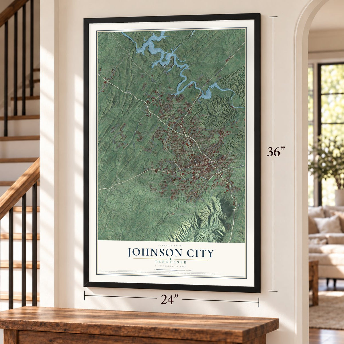
A new map of Johnson City, Tennessee, made in 2026 and printed to order on thick archival matte paper.
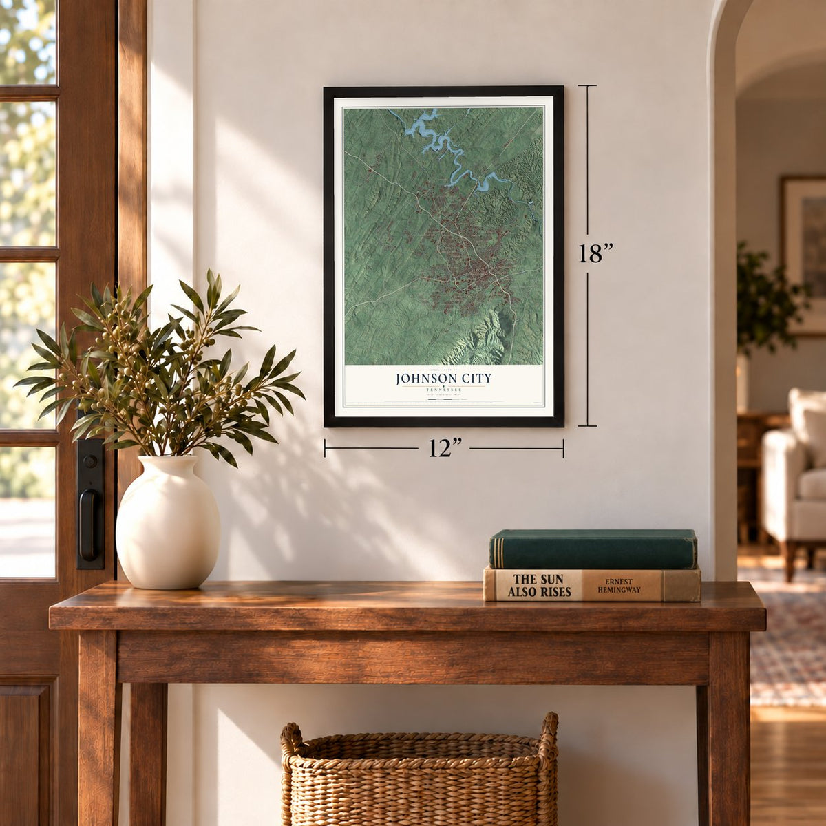
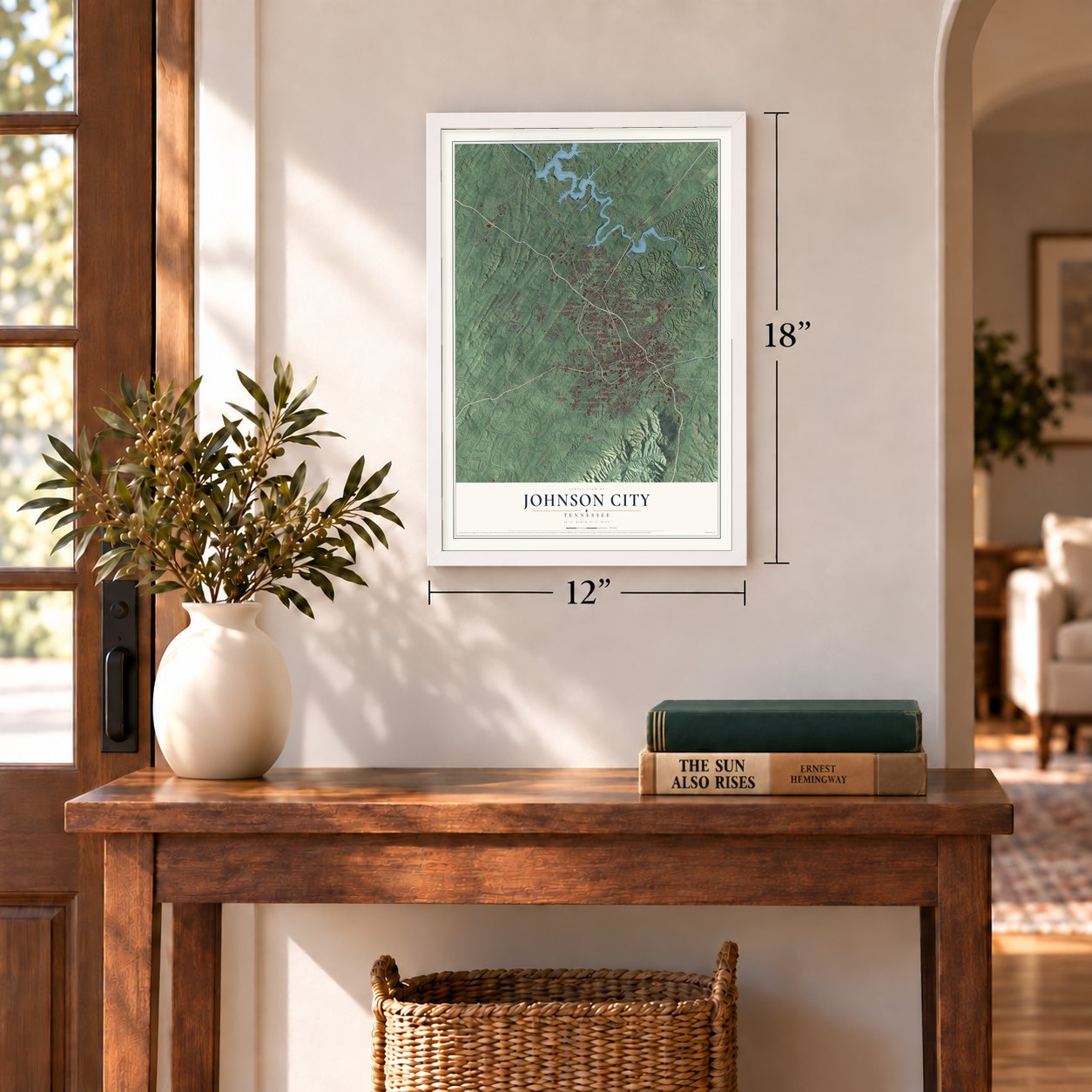
12" x 18" Archival Matte Print
A Map of Home. A Work of Art.
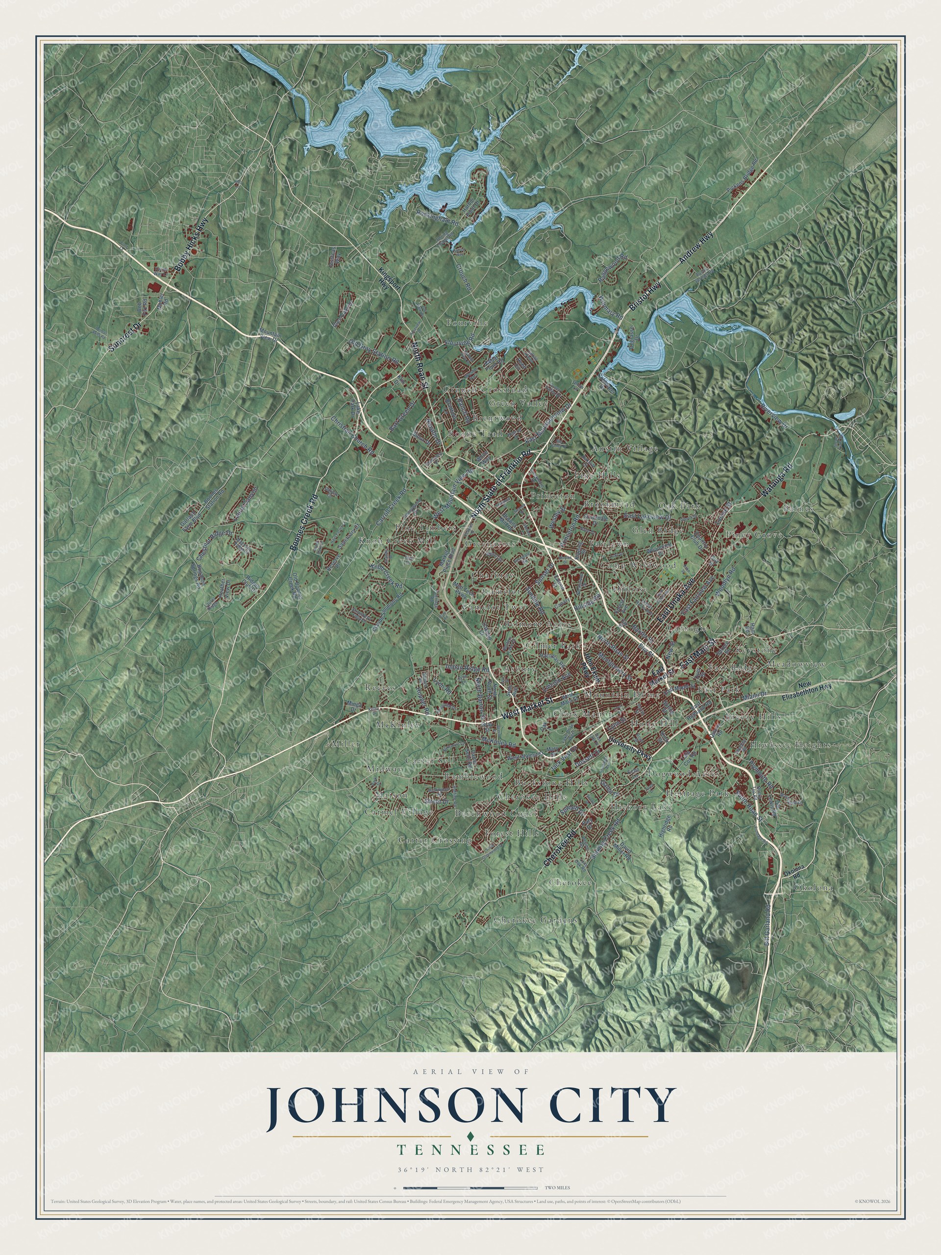
Explore Johnson City, Tennessee from a whole new perspective. Created using aerial imagery and detailed geographic data, this map captures Johnson City building by building, with labeled streets, familiar landmarks, and shaded topographical relief that highlights the natural contours of the landscape.
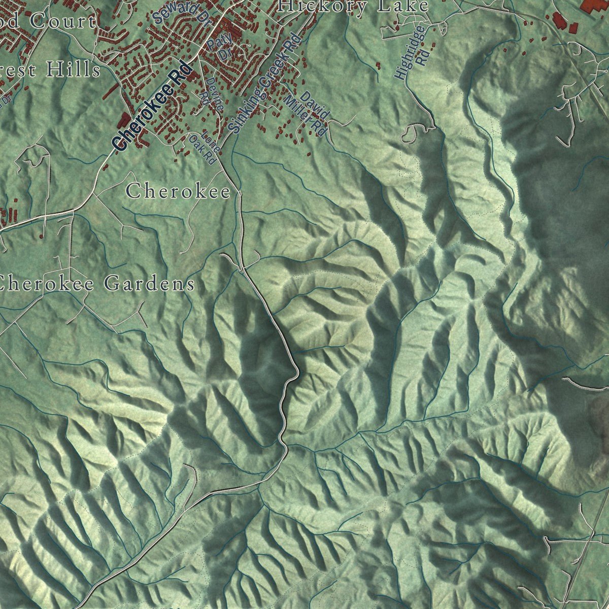
Combining modern data with the timeless character of a vintage atlas, this map is just as interesting up close as it is beautiful on the wall. Whether you grew up in Johnson City, spent memorable years there, or call it home today, this unique map is a great way to celebrate a place that means something to you. Zoom in on the preview to look for your street, and then order a print to put your memories on the wall.
Three ways to hang it
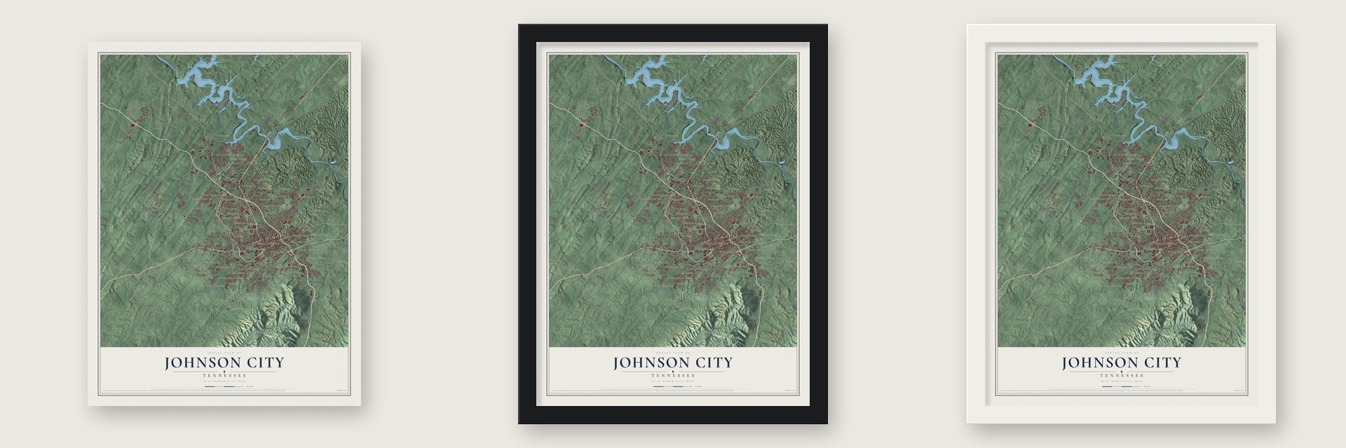
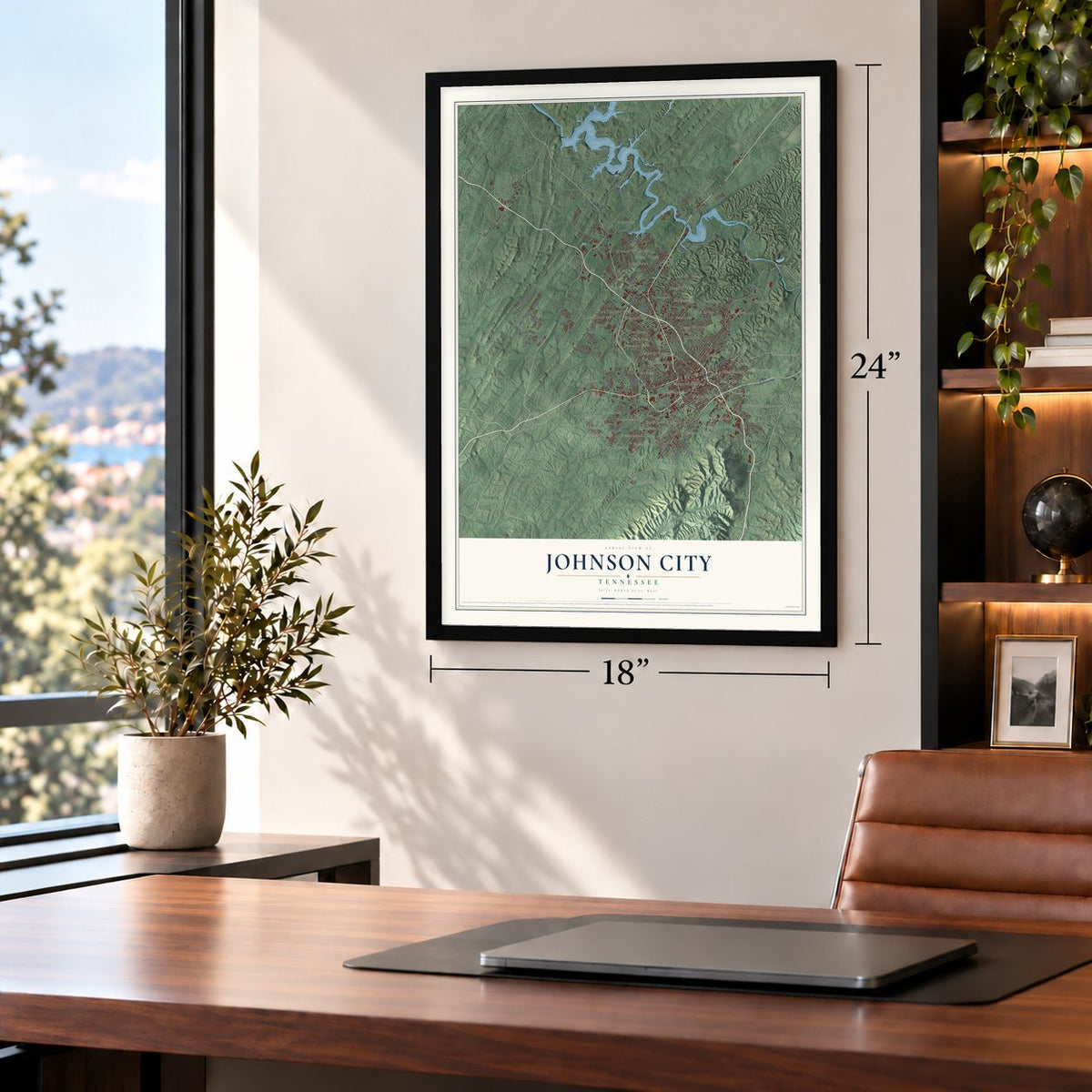
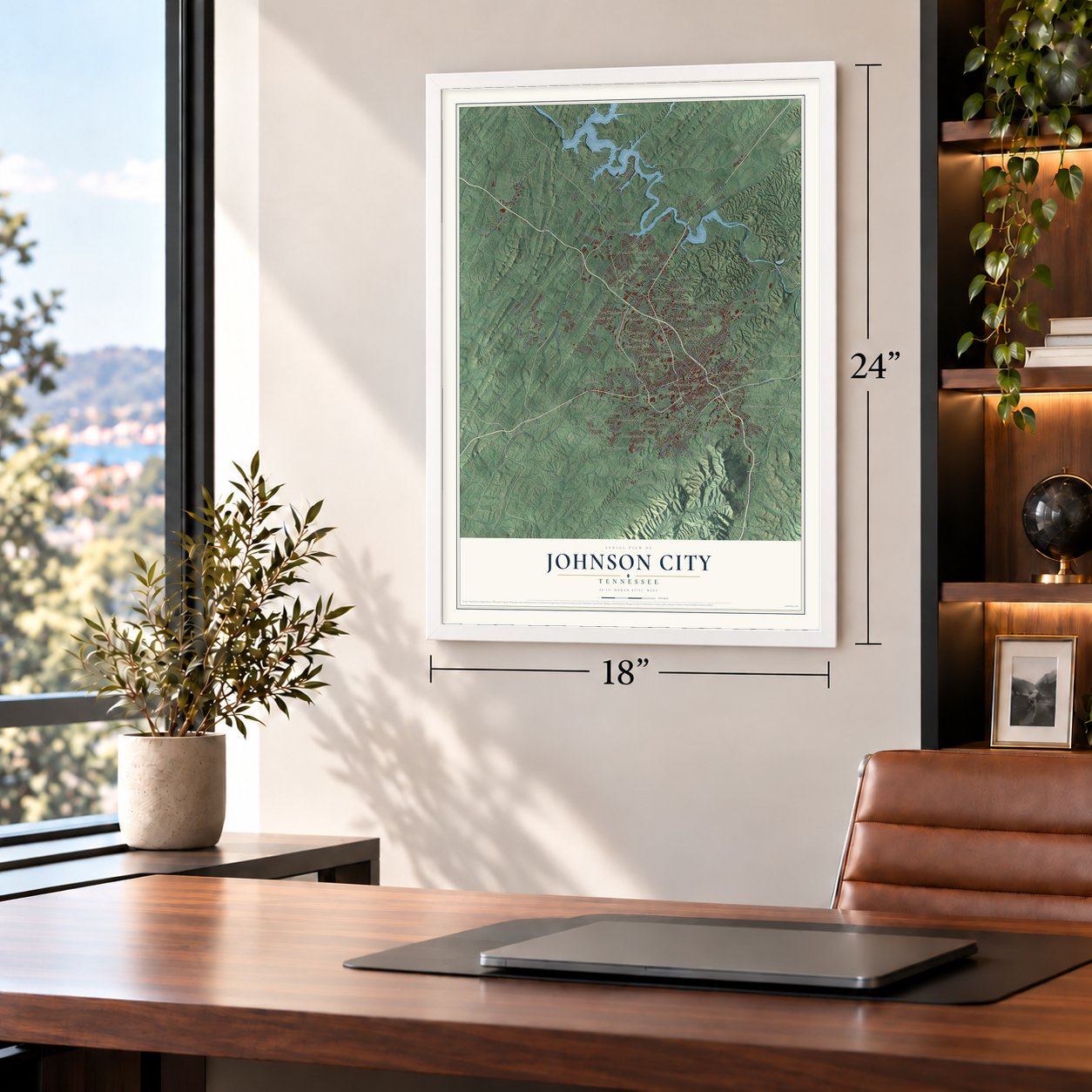
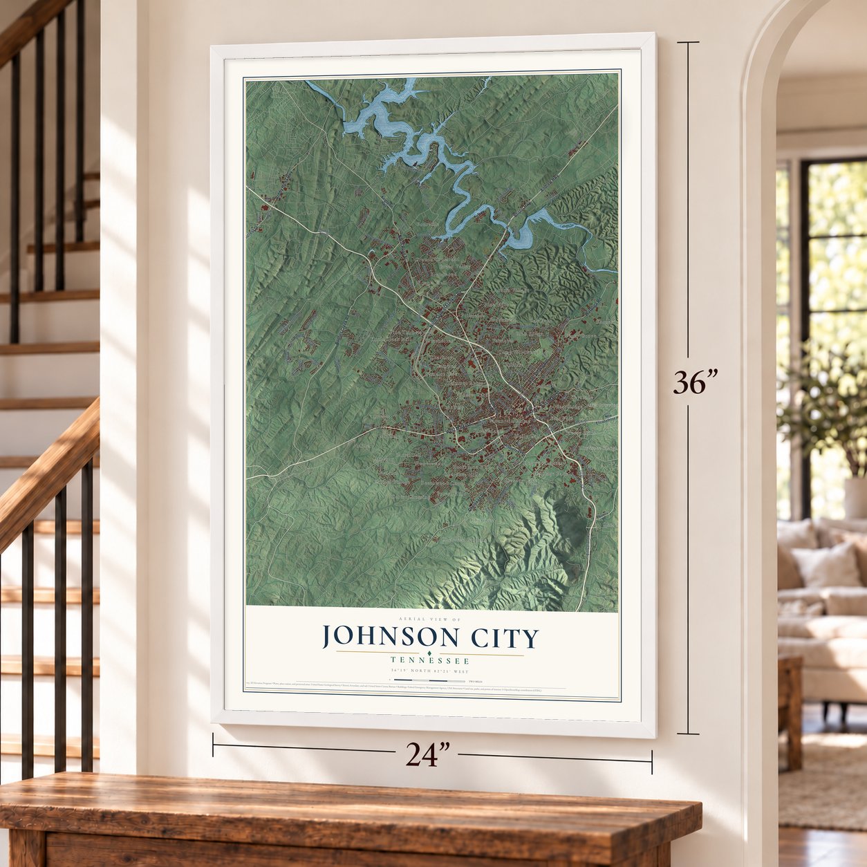
Unframed archival matte, a black wood frame or a white wood frame.
Up close
Geography Worth Displaying
This map was created using accurate cartographic data and authoritative geographic sources, including the U.S. Geological Survey and the Census Bureau. The map brings together terrain, waterways, roads, and building detail. The majority of the streets are labeled, houses are accurately depicted, and the topography is derived from government sources. Combining local data with carefully composed color and shading leads to this beautifully detailed Johnson City artwork for your wall.
Rather than simply showing street outlines, we’ve included as many of the street names as we could reasonably fit on the map while keeping their names legible. Zoom in on the high resolution preview to see exactly what’s on the map. We truly set out to create a statement piece for anyone who loves Johnson City. So whether it’s for you, or a gift for someone you love, we hope this map of Johnson City brings back fond memories.
Read the story behind this map of Johnson City, Tennessee from 2026.

About Johnson City, Tennessee
Johnson City is a city of 71,046 people, mostly in Washington County. It sits in an Appalachian valley near the Watauga River. In 1856 Henry Johnson opened a railroad station here called Johnson's Depot, and the town that grew around it took his name. During the Civil War the town was briefly renamed Haynesville for the Confederate senator Landon Carter Haynes. Johnson's name came back after the war. The state chartered Johnson City in 1869, and on January 3, 1870, Henry Johnson was elected its first mayor.
Railroad and mining money helped the town grow fast from 1870 to 1890. Then the national depression of 1893 ended the boom. In 1901 Congress passed a bill from Walter P. Brownlow that created a home for disabled Civil War veterans here. Its 450-acre campus was finished in 1903 and cost $3 million, while the whole town had been assessed at $750,000. In 1911 Carter, who built the Carolina, Clinchfield and Ohio Railway, gave 120 acres for a normal school. That school is now East Tennessee State University. By 1930 Johnson City was the fifth largest city in Tennessee.
- The Johnson City SessionsJohnson City and nearby Bristol were centers of old-time music. In 1928 Columbia Records came to town to make records, and these became known as the Johnson City Sessions. Fiddlin' Charlie Bowman, who was born here, became a national star through them. Downtown, the Fountain Square area drew local and traveling street musicians, among them Blind Lemon Jefferson.
- Little ChicagoDuring Prohibition, the city's ties to bootlegging in the nearby mountains earned it the nickname Little Chicago. Stories still told say the town was one of Al Capone's distribution centers, sending mountain liquor to northern cities. Local lore says he lived here part of the time, at Montrose Court, a fancy apartment building that joined the National Register in 1980.
- Three rail lines downtownThree railroads crossed in downtown Johnson City. Two of them were based here: the Tweetsie, a narrow gauge line known on paper as the East Tennessee and Western North Carolina Railroad, and the Clinchfield, a standard gauge line. Both ran scenic trips into the Blue Ridge Mountains. The Southern Railway also passed through. The Carolina, Clinchfield & Ohio Railroad Station and Depot joined the National Register in 2008.
- Home of Mountain DewThe citrus soda Mountain Dew was first made in Johnson City. In 2012 PepsiCo named a new malt-flavored version after the town: Mountain Dew Johnson City Gold.
Find your street
Names on the Johnson City map
Every name below is printed on this map. Look for your street, your school, the park where you played, or the pond down the road.
Places and landmarks54
- Asbury
- Austin Village
- Barnes
- Beechwood Court
- Belmont Acres
- Boone Trail
- Breezy Hills
- Brentwood
- Brookmead
- Buckstone Hills
- Camelot
- Camelot Two
Show all 54 places
- Camp Wildwood
- Carmel Village
- Carnegie
- Carter Crossing
- Carter Sell
- Charbray
- Cherokee
- Cherokee Gardens
- Cherokee Hills
- Clark Manor
- Crouch Crossroad
- Dogwood Acres
- East Park
- East Ridge
- Fairlawn
- Forest Hills
- Fourville
- Gilmer Park
- Glen Ridge
- Green Valley
- Greenacres
- Heritage Park
- Hickory Lake
- Hillrise
- Hiwassee Heights
- Holly Hill
- Keystone
- Knob Creek Mill
- Maison
- McKinley
- Meadowview
- Midway
- Miller
- Mountain Home
- Oak Park
- Okolona
- Pine Hills
- Pine Timbers
- Piney Grove
- Princeton
- Ramblewood
- Reeves
Streets and roads198
- West Market Street
- North Roan Street
- Boones Creek Road
- East Main Street
- Andrew Highway
- Bristol Highway
- North State of Franklin Road
- Cherokee Road
- Watauga Road
- Bobby Hicks Highway
- East Unaka Avenue
- Suncrest Drive
- South Roan Street
- Flourville Road
- Willmary Road
- Dossett Drive
- Carroll Creek Road
- Knob Creek Road
- Indian Ridge Road
- East Fairview Avenue
- West Mountain View Road
- Old Gray Station Road
- Woodlyn Road
- McKinley Road
- Sunset Drive
- East Lakeview Drive
- Baxter Street
- Princeton Road
- Sinking Creek Road
- East Mountainview Drive
Show all 198 streets
- Rockingham Road
- Christian Church Road
- Lynn Street
- Bart Green Drive
- Bill Garland Road
- Miami Drive
- Sundale Road
- Plymouth Road
- Lynn Road
- New Street
- Laurel Canyon
- Crouch Road
- Ranch Road
- Riverview Drive
- North Barton Street
- Chestnut Ridge Drive
- Montgomery Street
- Rangewood Road
- Wesley Street
- Elm Street
- Hopper Road
- Seward Drive
- Jack Vest Drive
- Lincoln Avenue
- Louise Street
- Galen Drive
- Navaho Drive
- Hillside Road
- Street Drive
- John Exum Parkway
- Kingsport Highway
- East Market Street
- University Parkway
- New Elizabethton Highway
- West Walnut Street
- Pickens Bridge Road
- Browns Mill Road
- Med Tech Parkway
- Claude Simmons Road
- Highridge Road
- Glen Oaks Drive
- Cedar Point Road
- West Main Street
- Pactolas Road
- Heather View Drive
- Ridges Club Drive
- East Maple Street
- Harbor Point Drive
- Boones Station Road
- North North Street
- Woodmont Drive
- Old Boones Creek Road
- Mary Street
- Paty Drive
- Garland Farm Boulevard
- Lake Park Drive
- Carter Sells Road
- Mohler Road
- Lafe Cox Road
- Bugaboo Springs Road
- Kipping Street
- Spring Street
- Country Club Drive
- Mountain View Drive
- Oakdell Court
- Old Lewis Road
- Forest Avenue
- Degrasse Drive
- Market Place Boulevard
- Silverdale Drive
- David Miller Road
- East Highland Road
- Sanctuary Court
- Dyer Street
- Coldwater Drive
- Bradford Lane
- Quarry Road
- Bob Fitz Road
- Jessicas Way
- Sells Avenue
- Sioux Drive
- Reed Circle
- Reserve Place
- Minga Drive
- Spruce Street
- Falcon Street
- White Way
- Canary
- Ham Road
- Gray Street
- Knox Street
- Klm Drive
- Echo Lane
- Guy Street
- Oak 1
- Okolona Road
- Boring Chapel Road
- Lone Oak Road
- Lester Harris Avenue
- Austin Springs Road
- Honeywood Drive
- Huffine Road
- Magnolia Ridge Drive
- Fairridge Road
- Oak Street
- Ferndale Road
- Devine Road
- Sevier Street
- Strawberry Field Drive
- Green Valley Drive
- Kimrod Drive
- Martindale Drive
- Hunters Lake Drive
- Swadley Road
- Boyd Street
- Joe Hale Drive
- Rocky Top Road
- Lynn Lane
- Ballard Road
- Industrial Drive
- Northwood Drive
- Lake Drive West
- Steven Drive
- Nave Drive
- Creekmore Drive
- Laurel Ridge
- Kwick Way Lane
- Galway Court
- Oakcliff Court
- Cattail Point
- Westin Parc
- Onion Lane
- Park Drive
- Fink Drive
- South Greenwood Drive
- Peoples Street
- Southwest Avenue
- East Eighth Avenue
- Shadowood Drive
- Blakemore Circle
- Steam Plant Road
- Buckingham Road
- Big Valley Drive
- Grand Oaks Drive
- Gibson Street
- Broyles Drive
- Hays Farms Court
- Katies Way
- Harbour View Drive
- Swanee Drive
- Duke Street
- West Lake Street
- Mimosa Lane
- Frontage Road
- Love Street
- Lake Drive
- Beech Street
- Chapman Street
- Roseview Drive
- Granite Drive
- Scenic Drive
- Delmar Salts Road
- Lark Street
- Kinley Drive
- Jared Drive
- Ford Lane
- Red Lane
- Clay Road
Names are listed as they appear on the printed map. Zoom into the product photos to find them.
The art of mapping a place
How This Map Was Made
Real places. Remarkable detail. Discover the layers that turn geographic data into a map of home.

The view from above
Aerial imagery reveals the character of the land: woodland, open fields, and the patterns of a place.

The shape of the land
Elevation data brings hills, valleys, and subtle changes in the landscape into view.

The details of home
Roads, waterways, and building footprints come together to make the map feel unmistakably local.

Geography becomes art
Considered color, shading, and typography bring the layers together in a map made for your wall.


Process illustrated with Mendon, Massachusetts. Aerial imagery: USDA NAIP. Terrain: USGS 3D Elevation Program. Map details and finished artwork: KNOWOL.
The Details
About This Print
Choose an archival matte print, or a black or white Ayous wood frame. The archival matte print is unframed.
Select your size and finish above to see the matching product image and price.
Materials & Craftsmanship
A contemporary map with the character of a classic atlas, printed on archival matte paper. Optional frames are made from Ayous wood.
Your printed map does not include the watermark shown in the full-map preview.
Shipping & Delivery
Free shipping within the United States. Every print is made to order in the USA.
Buying a gift? Add a note in your cart and we'll include it. We never put prices in the package.
Prints ship within 2 to 3 business days. Allow 7 to 10 days total from ordering for delivery. Timing may vary during holidays or periods of high order volume.
Read our shipping policy.
Returns and damaged prints
Each print is made to order. Change-of-mind refunds are not available after production.
If your print arrives damaged, misprinted or incorrect, contact support@knowol.com within 30 days of receiving it. Include your order number, photos and a description of the issue.
Read our full refund and replacement policy. For questions about your order, email support@knowol.com.
Find your town
Looking for another city?
Find a map of home in our Tennessee collection, or any town in the country.
Nearby
Maps of towns near Johnson City
Know someone from one of these towns? Their map makes a great gift.
 Central
, Tennessee
From $39.99See the map
 Pine Crest
, Tennessee
From $39.99See the map
 Watauga
, Tennessee
From $39.99See the map
More maps nearby: Oak Grove, Jonesborough, Gray, Elizabethton and Spurgeon.