
Search for another town


Free U.S. delivery 7 to 10 days after you order
Jonesborough, Tennessee Map Art
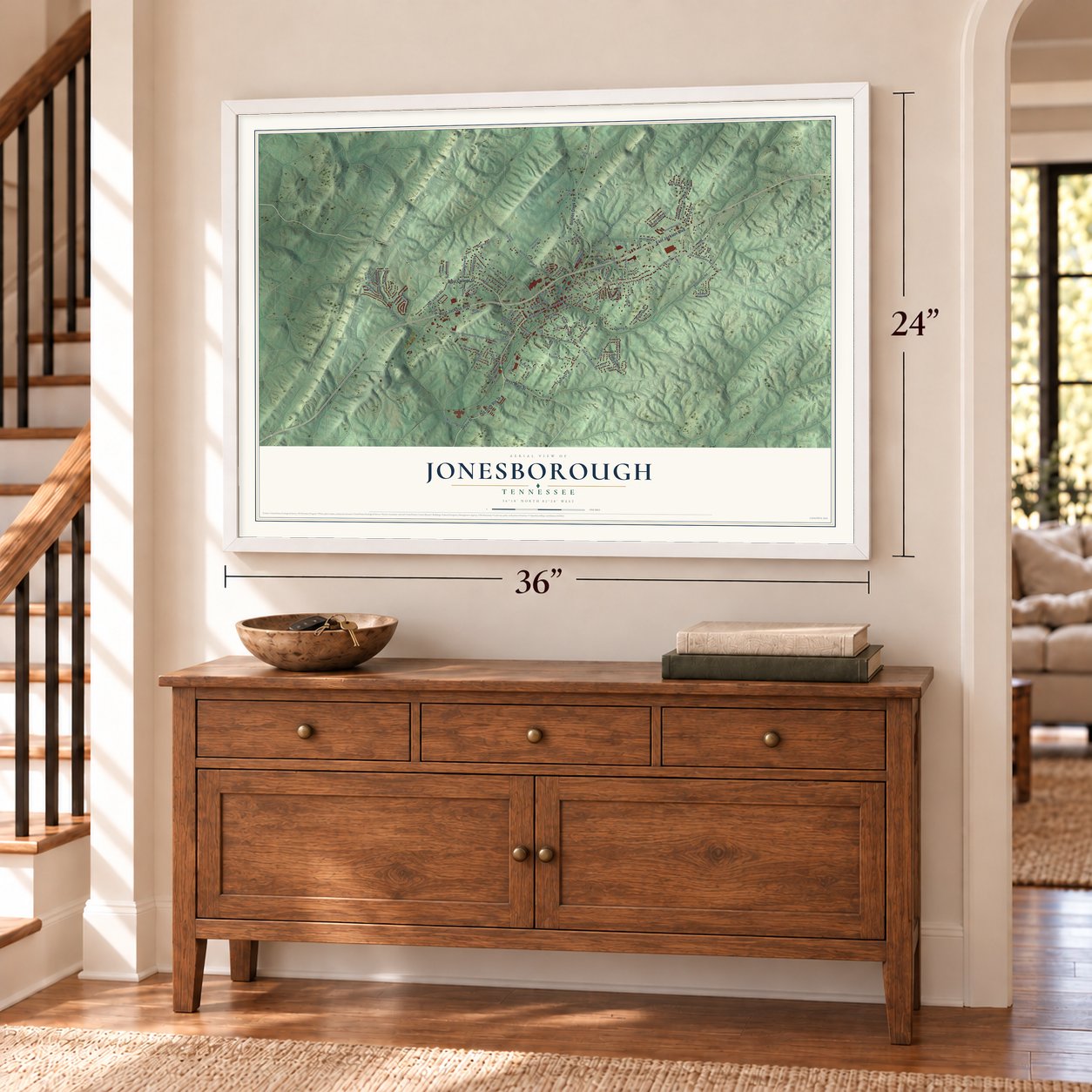
A new map of Jonesborough, Tennessee, made in 2026 and printed to order on thick archival matte paper.
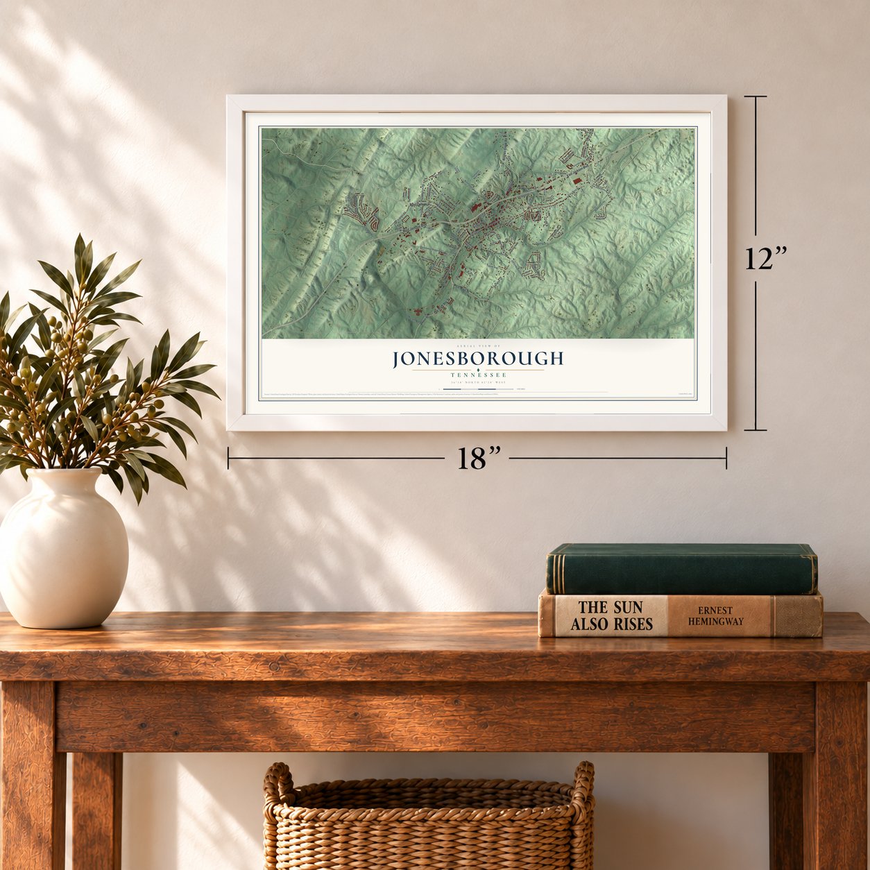
12" x 18" Archival Matte Print
A Map of Home. A Work of Art.
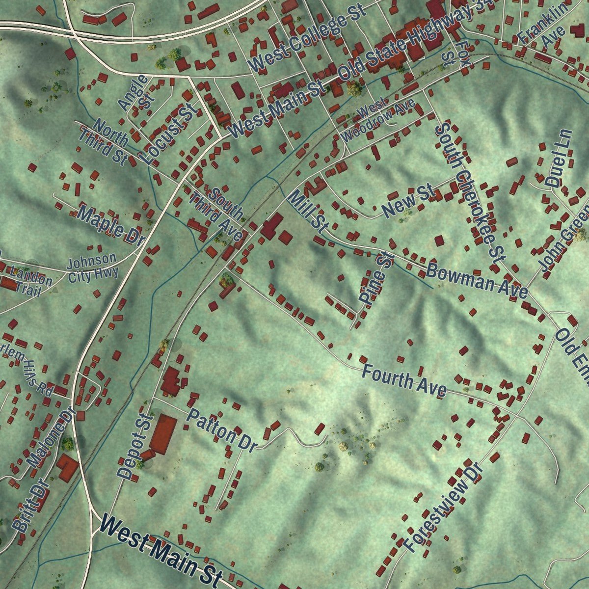
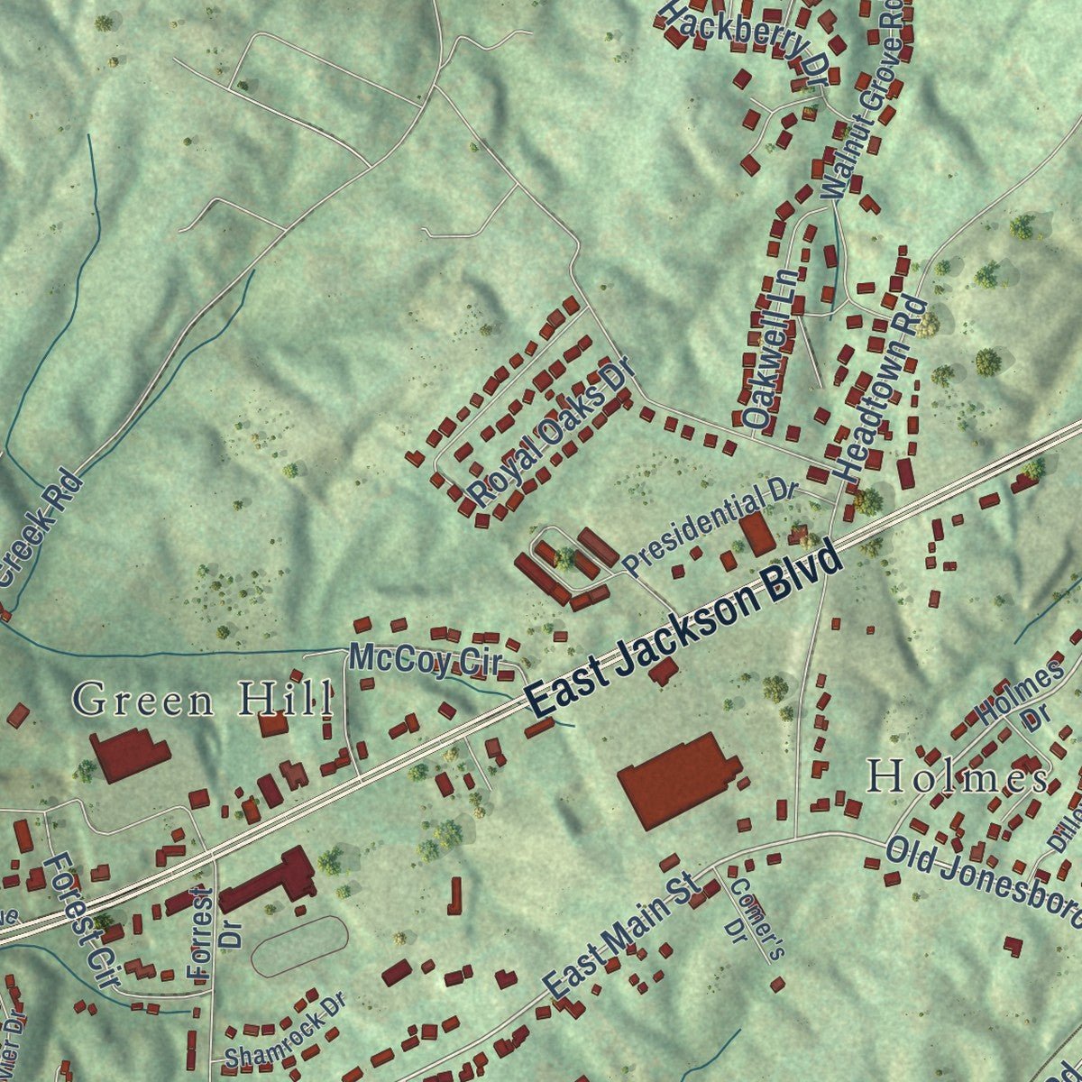
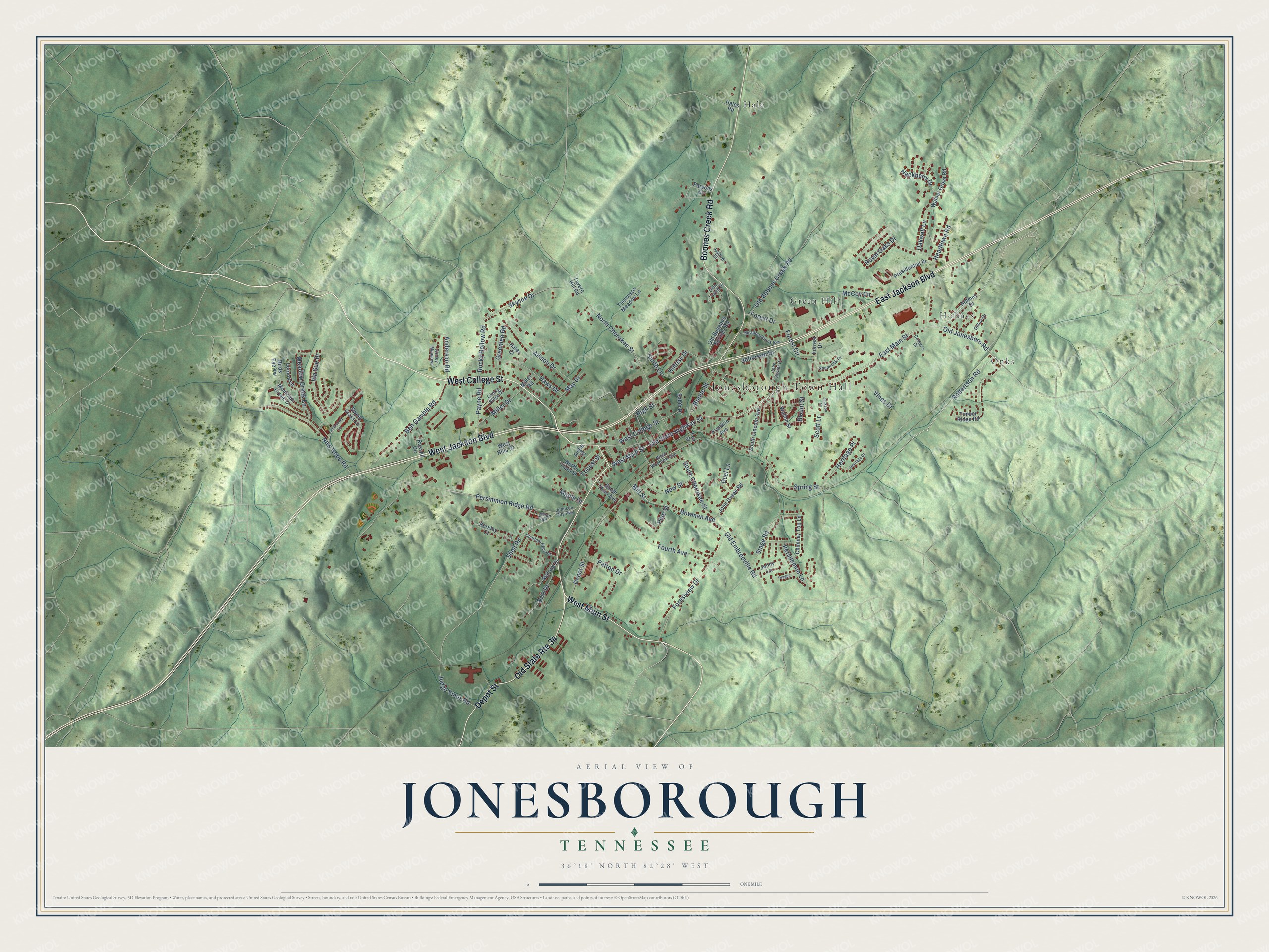
Explore Jonesborough, Tennessee from a whole new perspective. Created using aerial imagery and detailed geographic data, this map captures Jonesborough building by building, with labeled streets, familiar landmarks, and shaded topographical relief that highlights the natural contours of the landscape.
Combining modern data with the timeless character of a vintage atlas, this map is just as interesting up close as it is beautiful on the wall. Whether you grew up in Jonesborough, spent memorable years there, or call it home today, this unique map is a great way to celebrate a place that means something to you. Zoom in on the preview to look for your street, and then order a print to put your memories on the wall.
Three ways to hang it
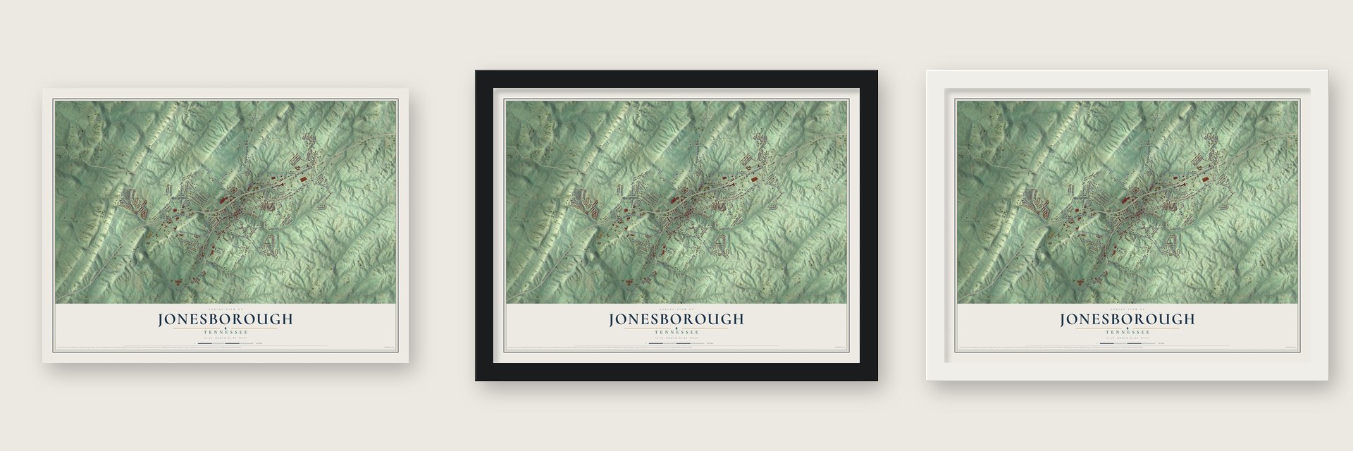
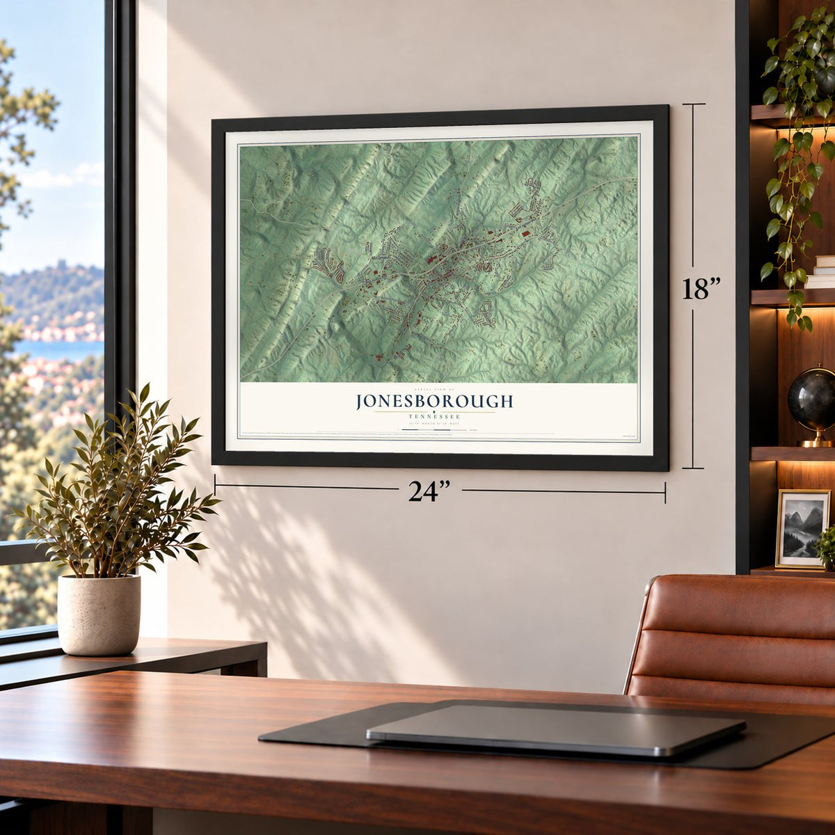
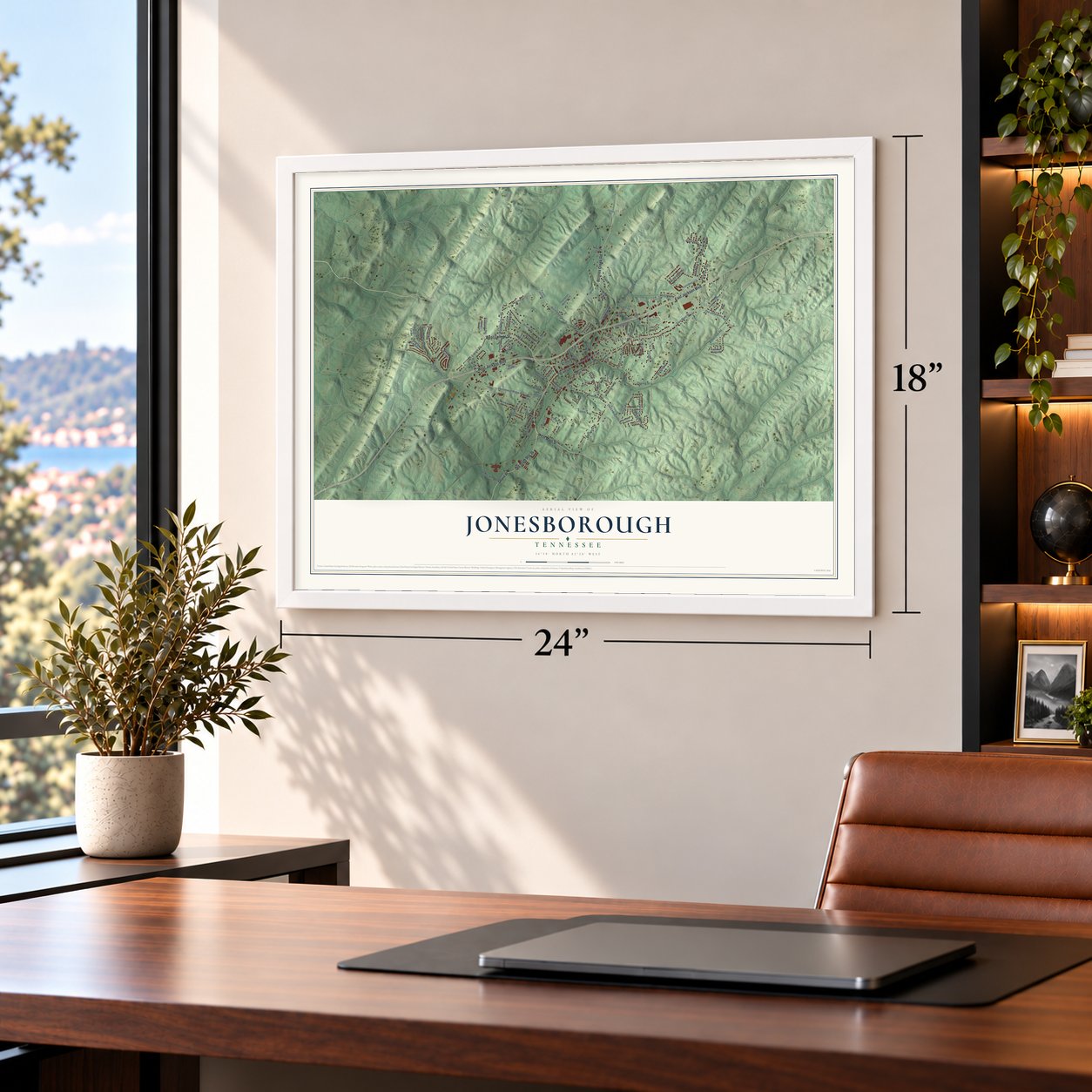
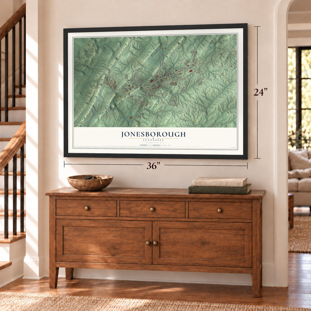
Unframed archival matte, a black wood frame or a white wood frame.
Up close
Geography Worth Displaying
This map was created using accurate cartographic data and authoritative geographic sources, including the U.S. Geological Survey and the Census Bureau. The map brings together terrain, waterways, roads, and building detail. The majority of the streets are labeled, houses are accurately depicted, and the topography is derived from government sources. Combining local data with carefully composed color and shading leads to this beautifully detailed Jonesborough artwork for your wall.
Rather than simply showing street outlines, we’ve included as many of the street names as we could reasonably fit on the map while keeping their names legible. Zoom in on the high resolution preview to see exactly what’s on the map. We truly set out to create a statement piece for anyone who loves Jonesborough. So whether it’s for you, or a gift for someone you love, we hope this map of Jonesborough brings back fond memories.
Read the story behind this map of Jonesborough, Tennessee from 2026.
About Jonesborough, Tennessee
Jonesborough is a town of 5,860 people and the seat of Washington County, in the far northeast corner of Tennessee. North Carolina still governed this land when it chartered the town in 1779, and the streets were laid out the following year, in 1780. The name honored Willie Jones of Halifax, North Carolina, a lawmaker who backed the settlers pushing west over the Appalachians.
In August 1784 frontier leaders met here to organize the State of Franklin, and Jonesborough became its capital. Congress never recognized Franklin, and North Carolina took the region back in late 1788. Jonesborough was incorporated in 1815, and it still carries the title of Tennessee's oldest town.
- An abolitionist paper in 1819Elihu Embree of Jonesborough started the Manumission Intelligencier in 1819 and gave it a new name, The Emancipator, a year later. It was the first periodical in America devoted only to ending slavery, and it made the town known as a center of the abolition cause.
- Andrew Jackson's stay in 1788The future president crossed the mountains in 1788 and practiced law in Jonesborough for several months while he waited for a caravan heading to Nashville. He boarded in the log house of Major Christopher Taylor, built in 1777 about a mile from town. In 1974 the cabin was taken apart and rebuilt in a town park, and a local legend says Jackson's ghost still appears near it.
- Two editors brawl in 1840William G. "Parson" Brownlow moved his newspaper, the Jonesborough Whig, here from Elizabethton. In May 1840 he and a rival editor, the Methodist preacher Landon Carter Haynes, fought each other on the town's streets. For years afterward they attacked each other in print and spoiled each other's political plans. Haynes quit newspapers in 1845, and Brownlow, later elected governor, took the Whig to Knoxville in 1849.
- The cholera summer of 1873Cholera reached Jonesborough on July 14, 1873, when Mrs. A. C. Collins died after nursing two refugees from Greeneville. Many residents had already fled. Of about 75 people who stayed, 30 died by early August and 30 more fell sick and lived. The dead included publisher Col. George Gresham, who had cared for the sick, and the minister G.C. Thrasher. Help and money came from other towns, the disease faded within a month, and residents returned.
- Storytelling every OctoberEvery October, over the month's first full weekend, the International Storytelling Center sets up big tents in the town's parks for the National Storytelling Festival, and storytellers take the stages before crowds from around the world. The festival grew from the Appalachian love of storytelling, has run for more than 35 years, and led East Tennessee State University to start a graduate program in storytelling. Now and then a passing Norfolk Southern train pauses a story.
Find your street
Names on the Jonesborough map
Every name below is printed on this map. Look for your street, your school, the park where you played, or the pond down the road.
Places and landmarks5
- Jonesborough Town Hall
- Green Hill
- Hale
- Holmes
- Onks
Streets and roads109
- West College Street
- West Jackson Boulevard
- East Jackson Boulevard
- Old State Route 34
- Boones Creek Road
- West Main Street
- Depot Street
- East Main Street
- Old Jonesboro Road
- Robertson Road
- Persimmon Ridge Road
- North Cherokee Street
- Shell Road
- South Cherokee Street
- Old State Highway 34
- Spring Street
- Old Boones Creek Road
- Forestview Drive
- New Hope Road
- Meadow Creek Lane
- Headtown Road
- Ben Gamble Road
- Stage Road
- Fourth Avenue
- Forest Drive
- Allison Drive
- Skyline Drive
- Bowman Avenue
- Mill Street
- Royal Oaks Drive
Show all 109 streets
- Ida Sue Drive
- Haws Drive
- Scott Lane
- Vines Drive
- Patton Drive
- Rocky Hollow Road
- Boone Street
- Anderson Road
- McCoy Circle
- Old Embreeville Road
- Payne Road
- Judge Vines Road
- Britt Drive
- New Street
- Greenlee Road
- Miller Drive
- Smith Lane
- Heritage Place
- Forest Circle
- Hillrise Drive
- May Drive
- Persimmon Lane
- Blount Street
- Oakwell Lane
- Hackberry Drive
- High Street
- Jefferson Drive
- Maple Drive
- Duel Lane
- Pine Street
- Locust Street
- Holmes Drive
- Old Bugaboo Springs Road
- Sweet Grass Lane
- Timber Ridge Road
- Thompson Meadow Lane
- Walnut Grove Road
- John Green Road
- Parsons Circle
- Mountain Creek Court
- Chimney Top Lane
- South Lincoln Avenue
- Lorena Lane
- Malone Drive
- Presidential Drive
- Russell Circle
- North Third Street
- Sabin Drive
- West Hills Drive
- Angle Street
- Birds Eye Vw
- South Third Avenue
- Berkley Court
- Franklin Avenue
- Walton Street
- Jenny Lane
- Hales Court
- Tavern Hill Road
- Forrest Drive
- Miller Road
- Fox Street
- Hales Road
- Johnson City Highway
- West Woodrow Avenue
- Meadow Brook Avenue
- Charlem Hills Road
- Cherry Ridge Drive
- Ashley Meadows
- John Sevier Drive
- Dillow Drive
- Shamrock Drive
- Olde Towne Drive
- Comer's Drive
- Landon Trail
- Jaybird Drive
- Goldenrod Lane
- Heritage Court
- Jackson Lane
- Teague
Names are listed as they appear on the printed map. Zoom into the product photos to find them.
The art of mapping a place
How This Map Was Made
Real places. Remarkable detail. Discover the layers that turn geographic data into a map of home.

The view from above
Aerial imagery reveals the character of the land: woodland, open fields, and the patterns of a place.

The shape of the land
Elevation data brings hills, valleys, and subtle changes in the landscape into view.

The details of home
Roads, waterways, and building footprints come together to make the map feel unmistakably local.

Geography becomes art
Considered color, shading, and typography bring the layers together in a map made for your wall.


Process illustrated with Mendon, Massachusetts. Aerial imagery: USDA NAIP. Terrain: USGS 3D Elevation Program. Map details and finished artwork: KNOWOL.
The Details
About This Print
Choose an archival matte print, or a black or white Ayous wood frame. The archival matte print is unframed.
Select your size and finish above to see the matching product image and price.
Materials & Craftsmanship
A contemporary map with the character of a classic atlas, printed on archival matte paper. Optional frames are made from Ayous wood.
Your printed map does not include the watermark shown in the full-map preview.
Shipping & Delivery
Free shipping within the United States. Every print is made to order in the USA.
Buying a gift? Add a note in your cart and we'll include it. We never put prices in the package.
Prints ship within 2 to 3 business days. Allow 7 to 10 days total from ordering for delivery. Timing may vary during holidays or periods of high order volume.
Read our shipping policy.
Returns and damaged prints
Each print is made to order. Change-of-mind refunds are not available after production.
If your print arrives damaged, misprinted or incorrect, contact support@knowol.com within 30 days of receiving it. Include your order number, photos and a description of the issue.
Read our full refund and replacement policy. For questions about your order, email support@knowol.com.
Find your town
Looking for another city?
Find a map of home in our Tennessee collection, or any town in the country.
Nearby
Maps of towns near Jonesborough
Know someone from one of these towns? Their map makes a great gift.
 Telford
, Tennessee
From $39.99See the map
 Johnson City
, Tennessee
From $39.99See the map
 Embreeville
, Tennessee
From $39.99See the map
More maps nearby: Gray, Oak Grove, Pine Crest, Unicoi and Spurgeon.