
Search for another town





Free U.S. delivery 7 to 10 days after you order
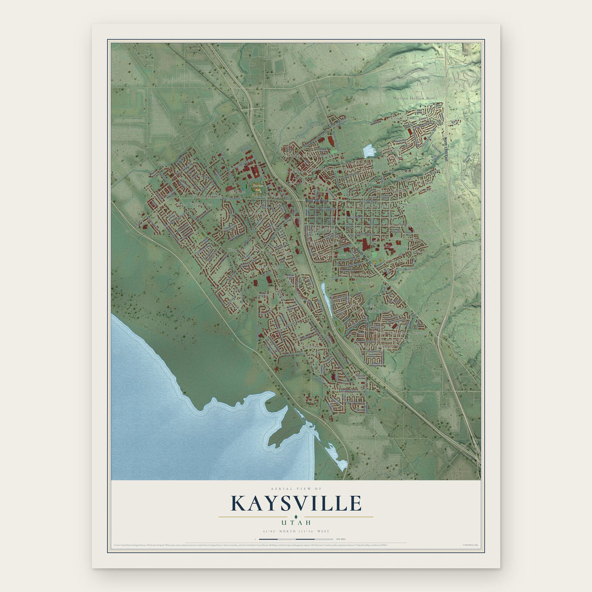
Kaysville, Utah Map Art
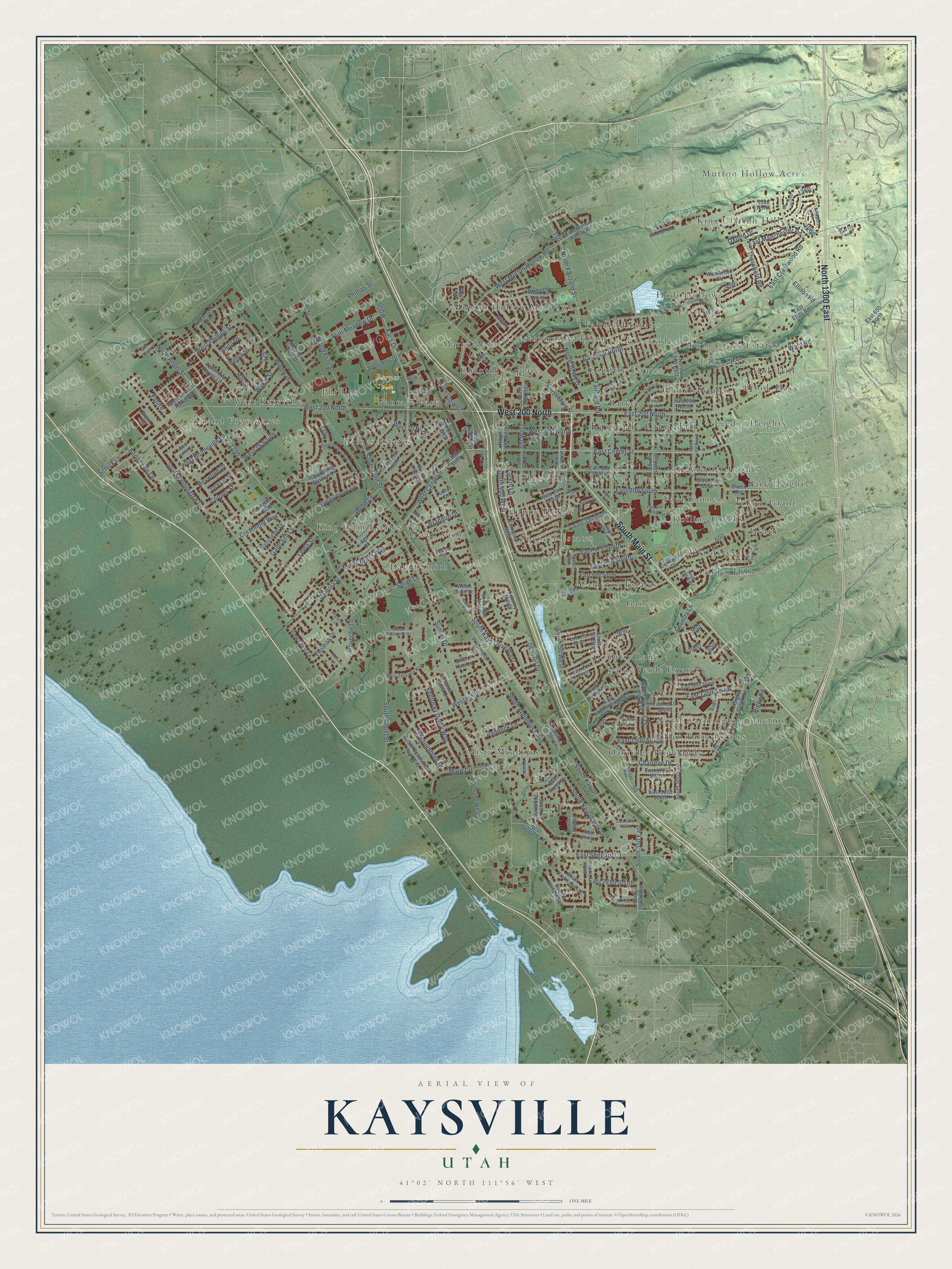
A new map of Kaysville, Utah, made in 2026 and printed to order on thick archival matte paper.
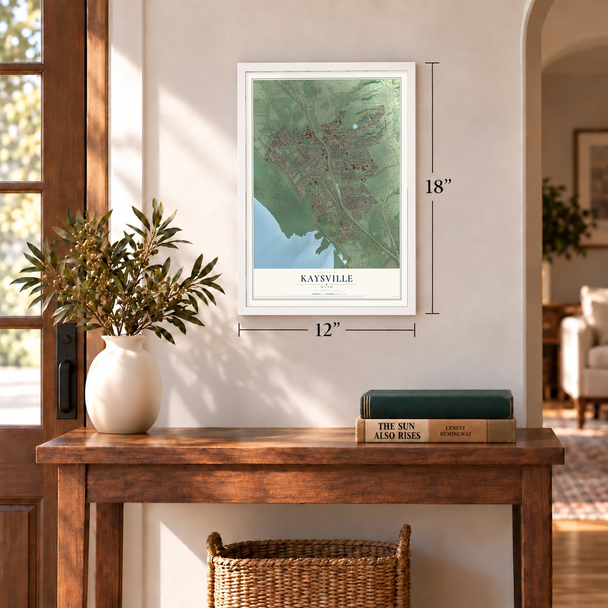
12" x 18" Archival Matte Print
A Map of Home. A Work of Art.
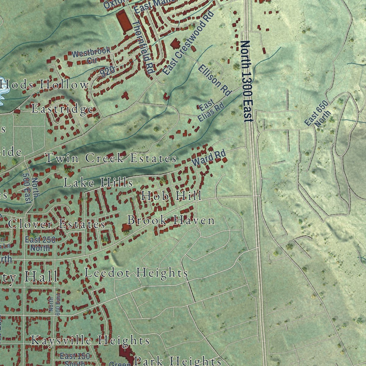
This beautifully detailed map of Kaysville, Utah was created in 2026 using aerial imagery combined with modern topographical, census, street and landmark data. It's a modern aerial view of Kaysville in Davis County, Utah, that combines modern data with a vintage aesthetic. Zoom in on the preview and look for your block.
Three ways to hang it
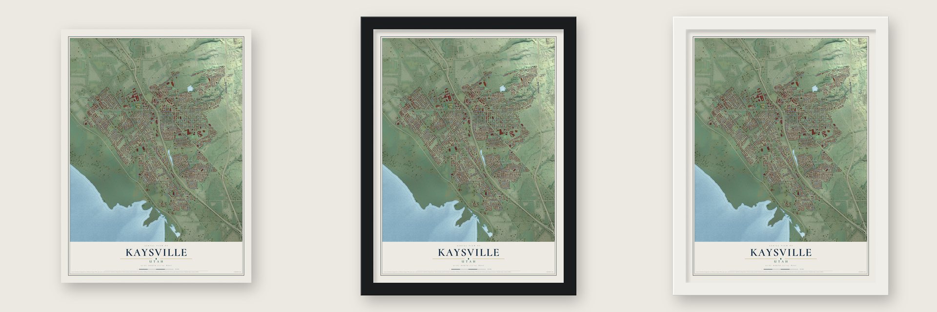
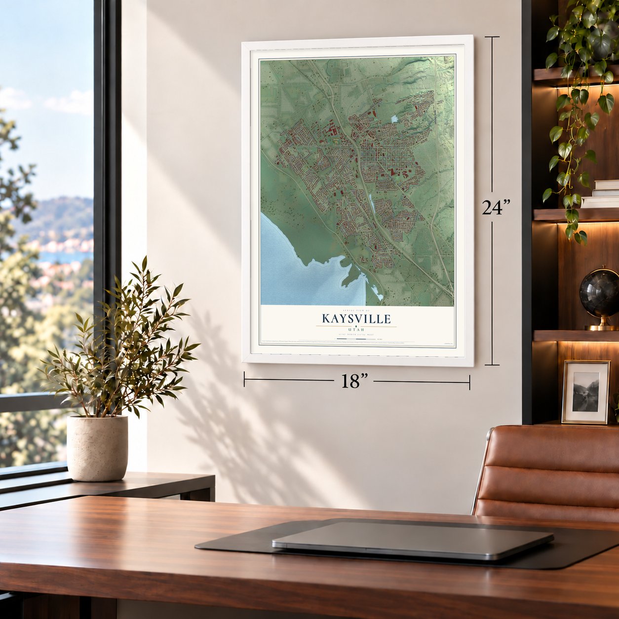
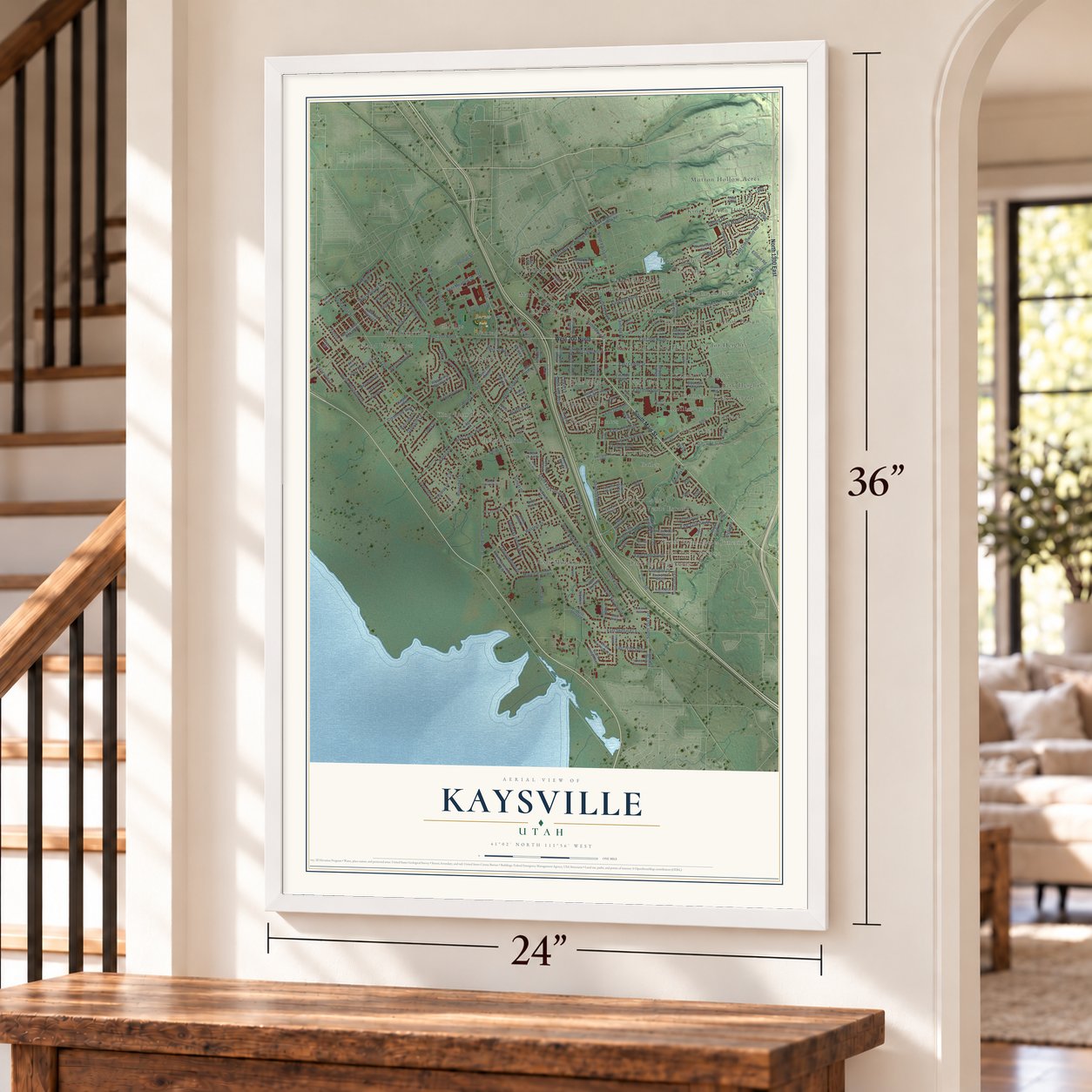
Unframed archival matte, a black wood frame or a white wood frame.
Up close
Real geography. Art worth displaying.
This map was created using accurate cartographic data and authoritative geographic sources, including the U.S. Geological Survey and the Census Bureau. The map brings together terrain, waterways, roads, and building detail. The majority of the streets are labeled, houses are accurately depicted, and the topography is derived from government sources. Combining local data with carefully composed color and shading leads to this beautifully detailed Kaysville artwork for your wall.
Rather than simply showing street outlines, we’ve included as many of the street names as we could reasonably fit on the map while keeping their names legible. Zoom in on the high resolution preview to see exactly what’s on the map. We truly set out to create a statement piece for anyone who loves Kaysville. So whether it’s for you, or a gift for someone you love, we hope this map of Kaysville brings back fond memories.
Read the story behind this map of Kaysville, Utah from 2026.

About Kaysville, Utah
Kaysville is a city of 32,945 people in Davis County, between Farmington and Layton. Latter-day Saint pioneers arrived in 1847, and Hector C. Haight was sent north to look for feed for the stock. He kept a herd of cattle here through the winter of 1847-48. Samuel Holmes built a cabin two miles to the north in 1849. Edward Phillips reached the creek, then called Sandy Creek, in April 1850, and William Kay came a day or two after him.
In 1851 Brigham Young and Heber C. Kimball made William Kay the local bishop, and the settlement took his name. After the move south in 1858, during the Utah War, some residents wanted to rename the town Freedom, but Brigham Young talked them into keeping it. The Territorial Legislature approved an act on February 13, 1868, that made Kaysville the first incorporated city in Davis County and the sixth in Utah. Thomas F. Roueche became its first mayor.
- From adobe to tabernacleKaysville's Latter-day Saints built an adobe meetinghouse in 1863. The Kaysville Tabernacle took its place in 1914. By 1930 the city had 992 people, and every Latter-day Saint among them belonged to one congregation, the Kaysville Ward.
- A New Deal city hallThe Salt Lake City firm of Ashton and Evans designed Kaysville City Hall, and crews built it in phases from 1941 to 1943. The building shows how New Deal programs reached Utah, one of the states hit hardest by the Great Depression of the 1930s. It joined the National Register in 2019.
- Utah's youngest mayorSteve Hiatt won the mayor's race in November 2009, and no other mayor in Utah was younger. He became Kaysville's 38th mayor when he took office on January 4, 2010, and voters gave him a second four-year term in November 2013.
Find your street
Names on the Kaysville map
Every name below is printed on this map. Look for your street, your school, the park where you played, or the pond down the road.
Places and landmarks48
- Kaysville City Hall
- Barnes Park
- Alta Acres
- Barker
- Barnes Estates
- Brook Haven
- Calder Hill
- Cameron Estates
- Chantilly Square
- Clover Estates
- Country Estates
- Country Lane
Show all 48 places
- Creekside
- Cresthomes Addition
- David Smith
- Eastridge
- Fairfield Estates
- Foster-Grant
- Four Corners
- Gailey
- Green View
- Happy Homes
- Heath
- Hen Farm Estates
- Hob Hill
- Hods Hollow
- Island View Acres
- Johns Acres
- Kaysville Heights
- King Clarion Hills
- King Farm Estates
- Lake Hills
- Leedot Heights
- Marketboro
- Misty Meadows
- Mutton Hollow Acres
- Mutton Hollow Meadows
- North Farmington Junction
- Oakridge Highlands
- Palos Verde Estates
- Park Heights
- Phillips
- Rolling Greens
- Spencer Estates
- Twin Creek Estates
- Vantage Park
- Vera Lee
- West Kaysville
Streets and roads189
- West 200 North
- South Main Street
- North 1300 East
- East 200 North
- North Main Street
- East Center Street
- East 200 South
- North Fairfield Street
- South 350 East
- Bonneville Lane
- South Kays Drive West
- West Center Street
- Kays Drive
- Ward Road
- South Angel Street
- Sunset Drive
- East Crestwood Road
- South 50 West
- South Wellington Drive
- West Phillips Street
- Western Drive
- East Shepard Lane
- West Mutton Hollow Road
- North Flint Street
- North Angel Street
- Deseret Drive
- South 400 West
- Kentucky Derby Way
- 300 West
- Schick Lane
Show all 189 streets
- Fairfield Road
- Oxford Drive
- Flint Meadow Drive
- Thornfield Road
- East 550 South
- Galbraith Lane
- South Flint Street
- South Appaloosa Avenue
- Larkin Lane
- East 1250 South
- East 500 North
- Webb Lane
- Leola Street
- East 1500 South
- Smith Lane
- West 100 North
- Ramola Street
- South Kerrybrook Drive
- Hill Street
- Roueche Lane
- East Manchester Road
- Future
- South Kay Drive
- West Bonneville Lane
- East 475 South
- Cooper Street
- West Tylers Way
- North 30 West
- Willow Drive
- Crestmont Way
- Thoroughbred Drive
- Mare Circle
- Thomas Drive
- Charlene Drive
- Wilkie Street
- East 2200 South
- Paddock Lane
- West 75 North
- Ellison Road
- Heywood Drive
- West 75 South
- Brandon Drive
- Phillips Street
- Rigby Road
- Anita Drive
- Henry Street
- Flint Street
- East Mutton Hollow Road
- Green Road
- East 600 South
- North 2000 West
- South 150 East
- Old Mill Lane
- North 500 East
- Laurelwood Drive
- North Hill Farms Lane
- South Burton Lane
- South 500 East
- South Kays Drive
- East 350 South
- West Shepard Lane
- East 100 South
- Country Mill Drive
- South 400 East
- East Burton Lane
- North 300 West
- North 400 West
- Christine Way
- South Via la Costa Way
- Oak Lane
- Haight Creek Drive
- 1300 North
- South 200 West
- North 600 West
- Sport Plex Drive
- West 770 North
- South 25 West
- West Orchard Harvest Drive
- East Shadowbrook Lane
- South Parkwood Lane
- South Equestrian Park Way
- West 250 South
- West 150 South
- Whispering Meadow Lane
- East 250 North
- East 1800 South
- Willow Brook Lane
- South 550 West
- North 650 West
- Santa Anita Drive
- East Elias Road
- East 1700 South
- View Crest Lane
- Baer Creek Drive
- Kings Court
- Pleasent View Drive
- South Betsys Way
- Barrington Drive
- East 1310 South
- Kayscreek Road
- Preakness Drive
- Jackson Street
- East 150 South
- Birch Tree Lane
- North 700 West
- Westbrook Circle
- Angels Way
- Bryce Drive
- East 650 North
- West Grain Street
- Lodder Drive
- East Street
- Fence Post Road
- Frontage Road
- South Wind Mill Lane
- South 50 East
- Joshua Drive
- South 225 East
- East Sego Lily Drive
- Kadie Lane
- West Zenyatta Way
- East 1200 South
- Stonne Lane
- East Windsor Way
- East 950 South
- South 550 East
- Pin Oak Lane
- East 1175 South
- South 100 West
- 1950 South
- West Palomino Drive
- Belmore Drive
- Boro Street
- Newport Lane
- West Jakes Lane
- 600 North
- Francis Circle
- Edward Drive
- East 300 South
- East 1900 South
- East 1400 South
- South Shadow Breeze Drive West
- South 775 East
- South 300 West
- Sherwood Drive
- North 600 East
- East 750 North
- East 2300 South
- Sanders Lane
- Charles Drive
- South Sunset Drive
- Water Mill Way
- Suncrest Lane
- North Kays Drive
- South 550 West Street
- Whitaker Circle
- Wilford Drive
- Virginia Street
- South 25 East
Names are listed as they appear on the printed map. Zoom into the product photos to find them.
The art of mapping a place
How This Map Was Made
Real places. Remarkable detail. Discover the layers that turn geographic data into a map of home.

The view from above
Aerial imagery reveals the character of the land: woodland, open fields, and the patterns of a place.

The shape of the land
Elevation data brings hills, valleys, and subtle changes in the landscape into view.

The details of home
Roads, waterways, and building footprints come together to make the map feel unmistakably local.

Geography becomes art
Considered color, shading, and typography bring the layers together in a map made for your wall.


Process illustrated with Mendon, Massachusetts. Aerial imagery: USDA NAIP. Terrain: USGS 3D Elevation Program. Map details and finished artwork: KNOWOL.
The Details
About This Print
Choose an archival matte print, or a black or white Ayous wood frame. The archival matte print is unframed.
Select your size and finish above to see the matching product image and price.
Materials & Craftsmanship
A contemporary map with the character of a classic atlas, printed on archival matte paper. Optional frames are made from Ayous wood.
Your printed map does not include the watermark shown in the full-map preview.
Shipping & Delivery
Free shipping within the United States. Every print is made to order in the USA.
Buying a gift? Add a note in your cart and we'll include it. We never put prices in the package.
Prints ship within 2 to 3 business days. Allow 7 to 10 days total from ordering for delivery. Timing may vary during holidays or periods of high order volume.
Read our shipping policy.
Returns and damaged prints
Each print is made to order. Change-of-mind refunds are not available after production.
If your print arrives damaged, misprinted or incorrect, contact support@knowol.com within 30 days of receiving it. Include your order number, photos and a description of the issue.
Read our full refund and replacement policy. For questions about your order, email support@knowol.com.
Find your town
Looking for another city?
Find a map of home in our Utah collection.
Nearby
Maps of towns near Kaysville
Know someone from one of these towns? Their map makes a great gift.
 Fruit Heights
, Utah
From $39.99See the map
 Layton
, Utah
From $39.99See the map
 Farmington
, Utah
From $39.99See the map
More maps nearby: Clearfield, South Weber, Syracuse, Uintah and Centerville.