
Search for another town





Free U.S. delivery 7 to 10 days after you order
Key Largo, Florida Map Art
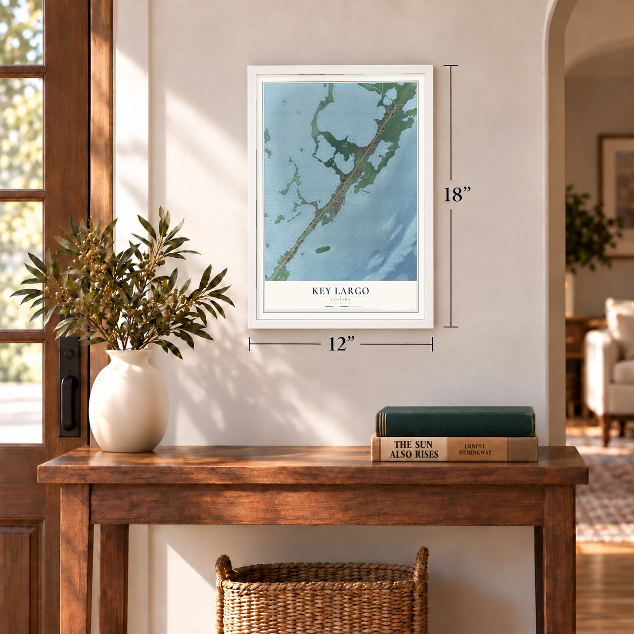
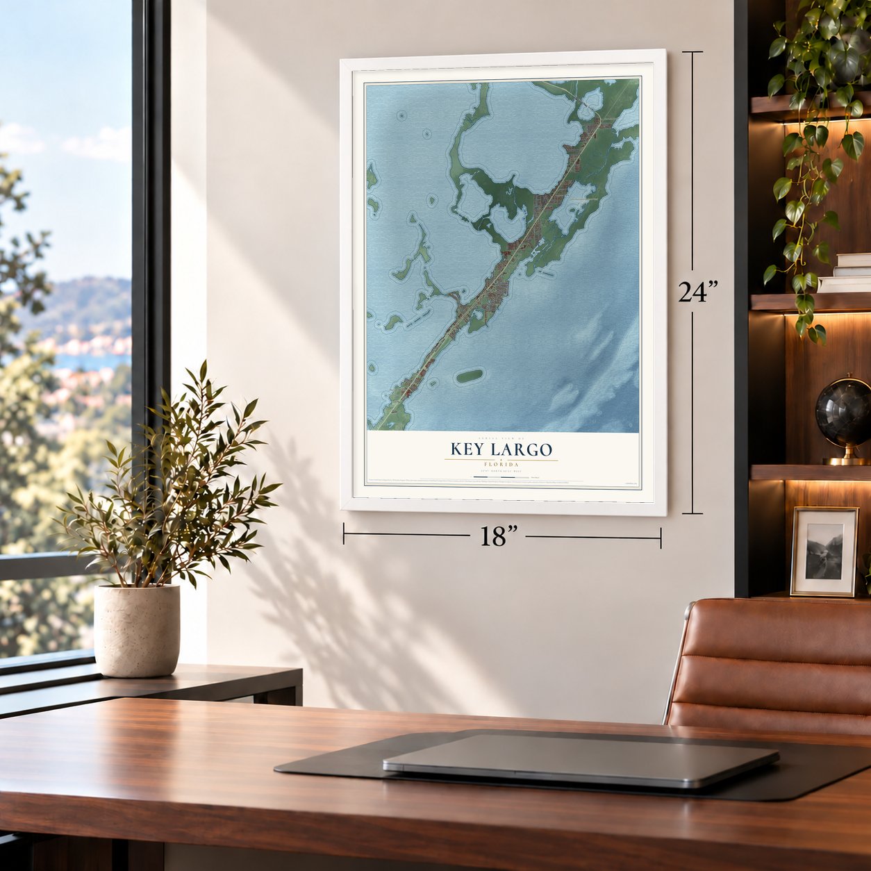
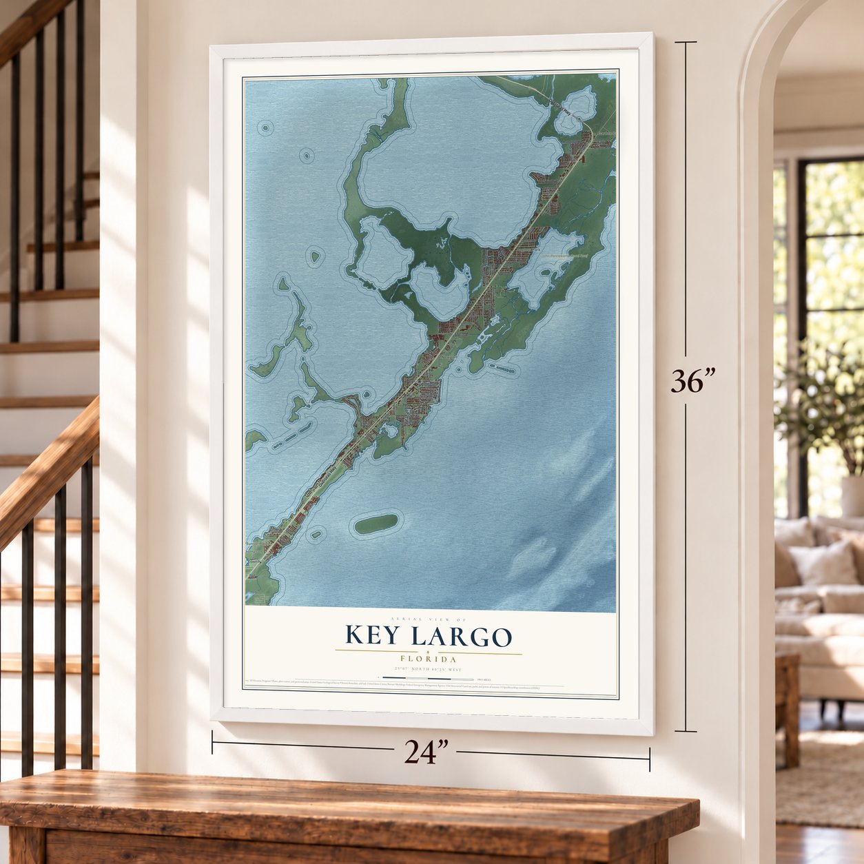
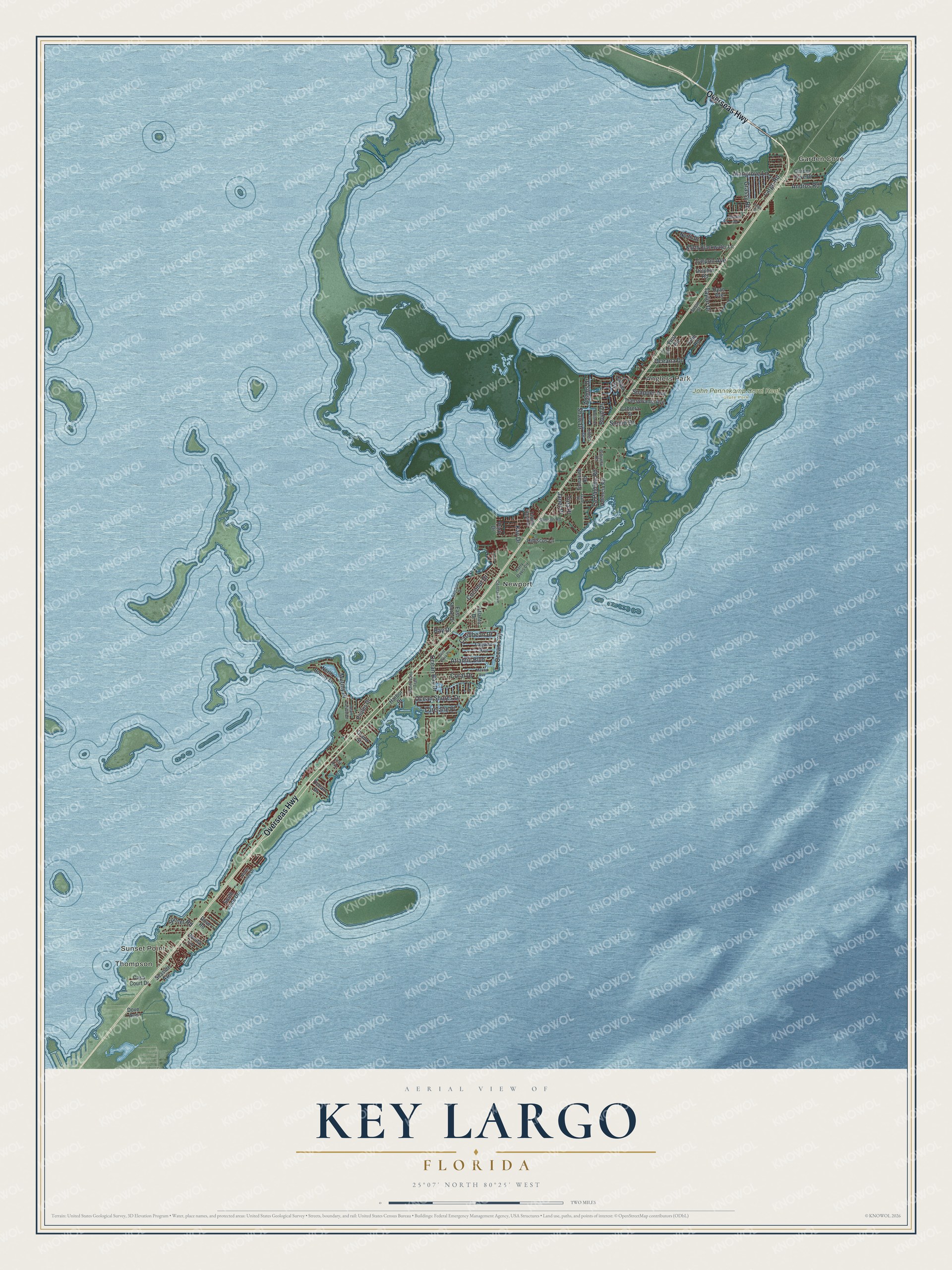
A new map of Key Largo, Florida, made in 2026 and printed to order on thick archival matte paper.
12" x 18" Archival Matte Print
A Map of Home. A Work of Art.
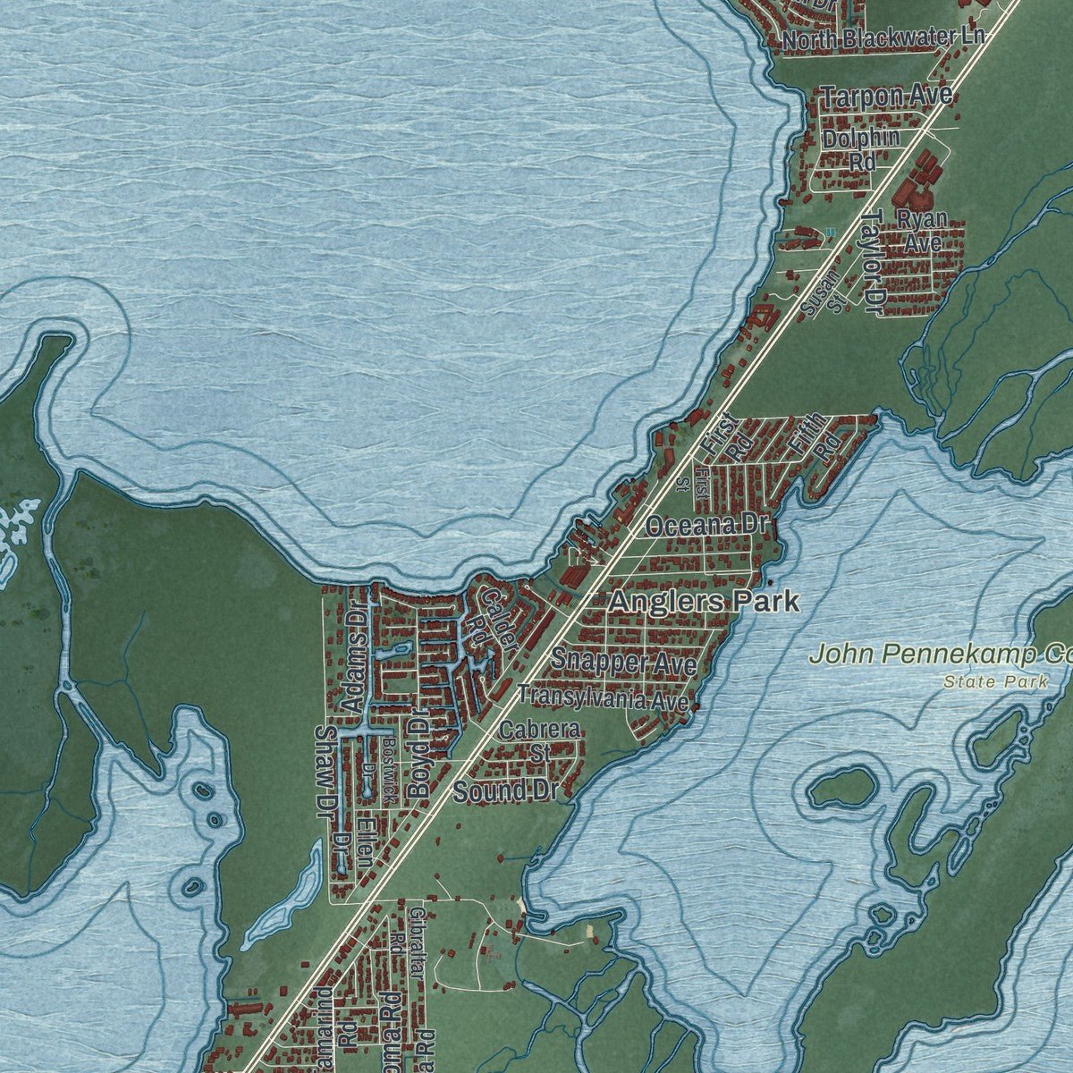
Explore Key Largo, Florida from a whole new perspective. Created using aerial imagery and detailed geographic data, this map captures Key Largo building by building, with labeled streets, familiar landmarks, and shaded topographical relief that highlights the natural contours of the landscape.
Combining modern data with the timeless character of a vintage atlas, this map is just as interesting up close as it is beautiful on the wall. Whether you grew up in Key Largo, spent memorable years there, or call it home today, this unique map is a great way to celebrate a place that means something to you. Zoom in on the preview to look for your street, and then order a print to put your memories on the wall.
Three ways to hang it
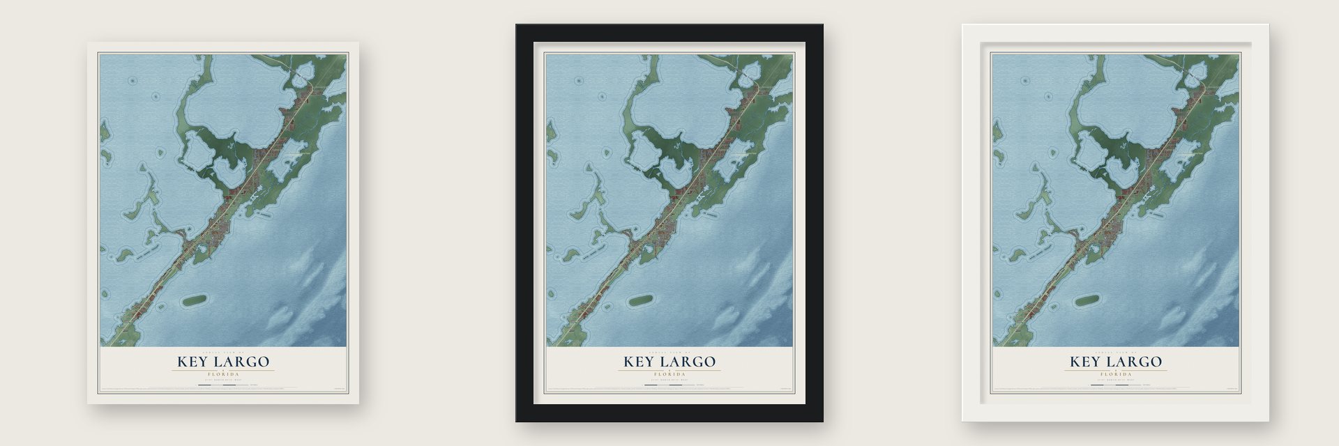
Unframed archival matte, a black wood frame or a white wood frame.
Up close
Geography Worth Displaying
This map was created using accurate cartographic data and authoritative geographic sources, including the U.S. Geological Survey (USGS) and FEMA. The map brings together terrain, waterways, roads, and building detail. The majority of the streets are labeled, houses are accurately depicted, and the topography is derived from government sources. Combining local data with carefully composed color and shading leads to this beautifully detailed Key Largo artwork for your wall.
Rather than simply showing street outlines, we’ve included as many of the street names as we could reasonably fit on the map while keeping their names legible. Zoom in on the high resolution preview to see exactly what’s on the map. We truly set out to create a statement piece for anyone who loves Key Largo. So whether it’s for you, or a gift for someone you love, we hope this map of Key Largo brings back fond memories.
Explore the full map of Key Largo, Florida and read about the local places it shows.

About Key Largo, Florida
Key Largo is a community of 12,447 people in Monroe County, on the island of the same name in the upper Florida Keys. Its name is Spanish, from Cayo Largo, meaning long key, and it's the first island and first town that drivers reach on the Overseas Highway heading for Key West.
Henry Flagler first meant to run his Florida East Coast Railway southwest through the Everglades to Cape Sable on its way to Key West. A route south to Key Largo and then down the chain of islands proved more practical, and engineer William J. Krome's survey line across Jewfish Creek won out. Key Largo got a station, and the Overseas Railroad reached Key West in 1912. Much of the line was destroyed by the 1935 Labor Day Hurricane, so the state bought its old roadbed and bridges and reused them for the Overseas Highway.
- Saving the reefsBy the late 1950s, souvenir hunters were chiseling and even dynamiting shells, coral, sponges and seahorses off the reefs near Key Largo. Two men led the effort to protect them. Gilbert L. Voss worked at Miami's Marine Institute, and John D. Pennekamp was a Miami Herald editor.
- The first undersea parkFlorida made the reefs in its own waters a permanent preserve. In spring 1960, President Eisenhower issued a proclamation that set aside the neighboring federal reefs, and they became the Key Largo Coral Reef Preserve. The state park took Pennekamp's name from Governor LeRoy Collins, and it opened at Mile Marker 102 in 1963.
- A million visitors in 2004John Pennekamp Coral Reef State Park stretches about 3 miles out into the Atlantic and about 25 miles along the coast, and nearly all of it lies underwater. Visitors explore it from glass-bottomed boats, with snorkels and with scuba gear, and more than a million of them came in 2004. Beside it, the Florida Keys National Marine Sanctuary covers 178 square nautical miles.
- A statue on the reefSince 1965, a bronze figure of Christ has stood in about 25 feet of water near Dry Rocks, out on the reef. It was cast from the same mold as the Christ of the Abyss in Italy.
- 12,447 people in 2020Key Largo grew from 10,433 people at the 2010 census to 12,447 in 2020. The whole community lies along U.S. Route 1, which puts it 57 miles from Miami and 97 miles from Key West.
Find your street
Names on the Key Largo map
Every name below is printed on this map. Look for your street, your school, the park where you played, or the pond down the road.
Places and landmarks6
- Thompson
- Sunset Point
- Garden Cove
- Anglers Park
- Newport
- John Pennekamp Coral Reef State Park
Streets and roads75
- Overseas Highway
- Ocean Shores Drive
- Sound Drive
- Mutiny Place
- Ocean Bay Drive
- Atlantic Boulevard
- Shaw Drive
- Caribbean Drive
- La Paloma Road
- Largo Road
- Tarpon Avenue
- Coral Drive
- Boyd Drive
- Ocean Cay
- Andros Road
- Coconut Drive
- Taylor Drive
- Mangrove Lane
- Snapper Avenue
- Lorelane Place
- Kay Drive
- Sunset Road
- Grassy Road
- Bay Drive
- Oceana Drive
- Adams Drive
- Janet Place
- Tina Place
- Tamarind Road
- North Blackwater Lane
Show all 75 streets
- North Drive
- South Jade Drive
- Fifth Road
- Valencia Road
- Ocean Drive
- North Bounty Lane
- Laguna Avenue
- Dolphin Road
- Harbor Drive
- Transylvania Avenue
- Garden Cove Drive
- Calder Road
- Ellen Drive
- Park Drive
- Hibiscus Lane
- Seaside Avenue
- Pirates Drive
- East Shore Drive
- Atlantic Drive
- Cabrera Street
- Casa Court Drive
- Ryan Avenue
- Grand Street
- Dove Road
- Bonita Lane
- Dove Avenue
- First Road
- Fishermans Trail
- Jean Lafitte Drive
- Harry Davis Circle
- Tarpon Basin Drive
- Central Avenue
- Gibraltar Road
- Samson Road
- Susan Street
- North Jade Drive
- First Avenue
- Gale Place
- Marina Avenue
- Saint Croix Place
- Sanctuary Drive
- Bostwick Drive
- Bunting Drive
- First Street
- Linda Drive
Names are listed as they appear on the printed map. Zoom into the product photos to find them.
The art of mapping a place
How This Map Was Made
Real places. Remarkable detail. Discover the layers that turn geographic data into a map of home.

The view from above
Aerial imagery reveals the character of the land: woodland, open fields, and the patterns of a place.

The shape of the land
Elevation data brings hills, valleys, and subtle changes in the landscape into view.

The details of home
Roads, waterways, and building footprints come together to make the map feel unmistakably local.

Geography becomes art
Considered color, shading, and typography bring the layers together in a map made for your wall.


Process illustrated with Mendon, Massachusetts. Aerial imagery: USDA NAIP. Terrain: USGS 3D Elevation Program. Map details and finished artwork: KNOWOL.
The Details
About This Print
Choose an archival matte print, or a black or white Ayous wood frame. The archival matte print is unframed.
Select your size and finish above to see the matching product image and price.
Materials & Craftsmanship
A contemporary map with the character of a classic atlas, printed on archival matte paper. Optional frames are made from Ayous wood.
Your printed map does not include the watermark shown in the full-map preview.
Shipping & Delivery
Free shipping within the United States. Every print is made to order in the USA.
Buying a gift? Add a note in your cart and we'll include it. We never put prices in the package.
Prints ship within 2 to 3 business days. Allow 7 to 10 days total from ordering for delivery. Timing may vary during holidays or periods of high order volume.
Read our shipping policy.
Returns and damaged prints
Each print is made to order. Change-of-mind refunds are not available after production.
If your print arrives damaged, misprinted or incorrect, contact support@knowol.com within 30 days of receiving it. Include your order number, photos and a description of the issue.
Read our full refund and replacement policy. For questions about your order, email support@knowol.com.
Find your town
Looking for another city?
Find a map of home in our Florida collection, or any town in the country.
Nearby
Maps of towns near Key Largo
Know someone from one of these towns? Their map makes a great gift.
 Tavernier
, Florida
From $39.99See the map
 North Key Largo
, Florida
From $39.99See the map
 Islamorada
, Village of Islands, Florida
From $39.99See the map
More maps nearby: Florida City, Homestead, Homestead Base, Leisure City and Naranja.