
Search for another town
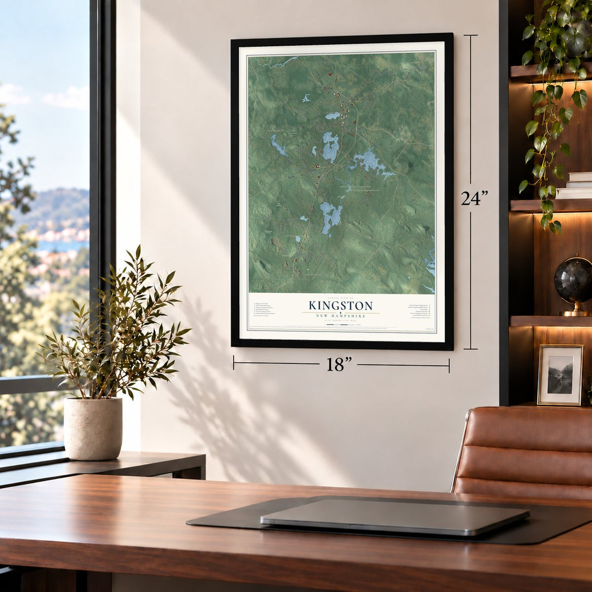
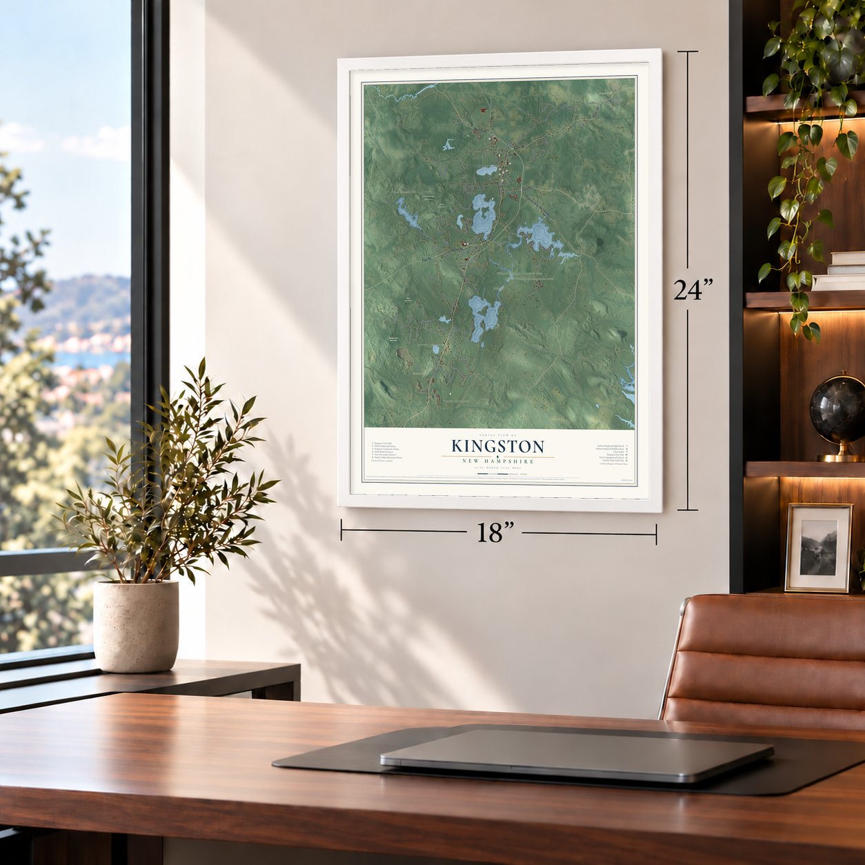
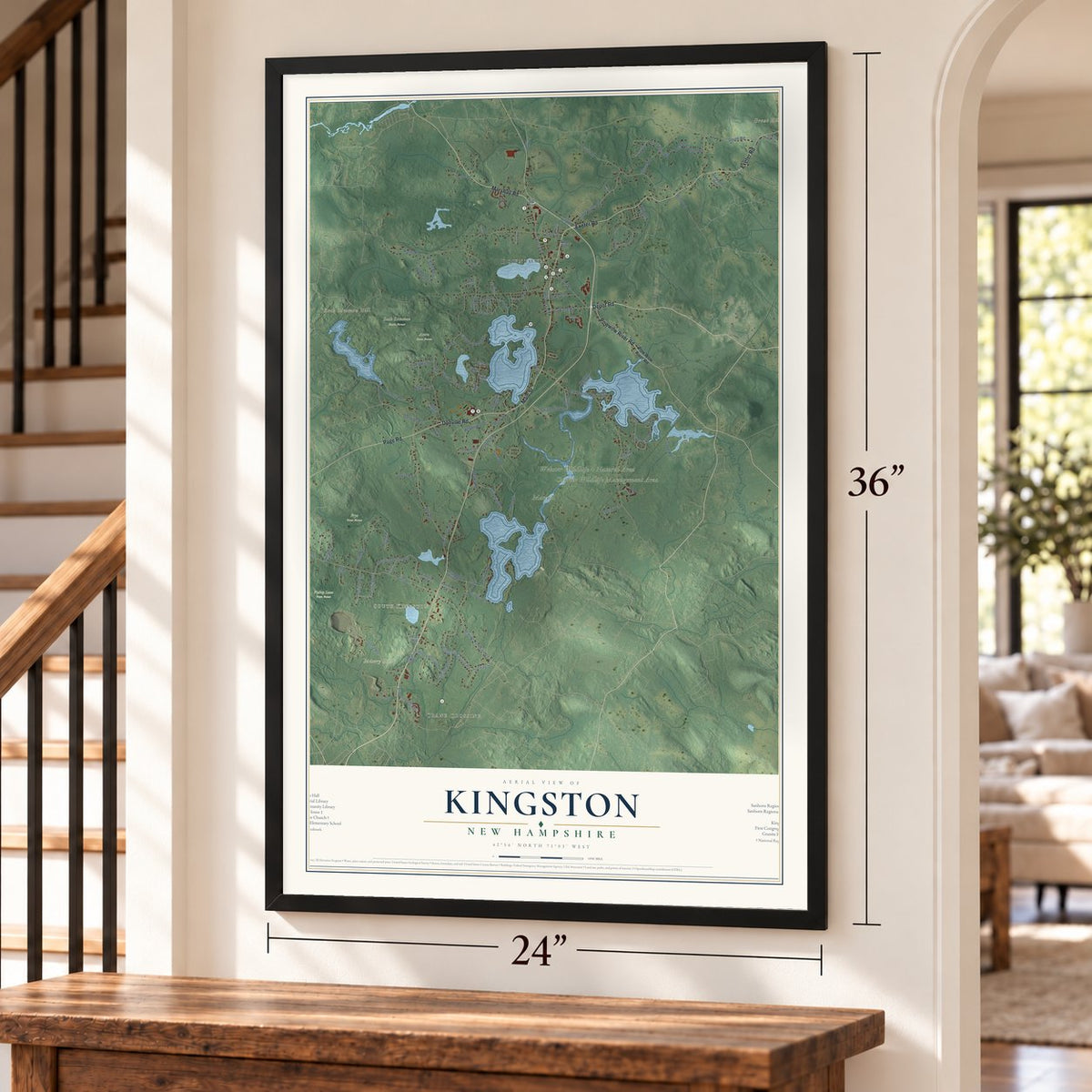
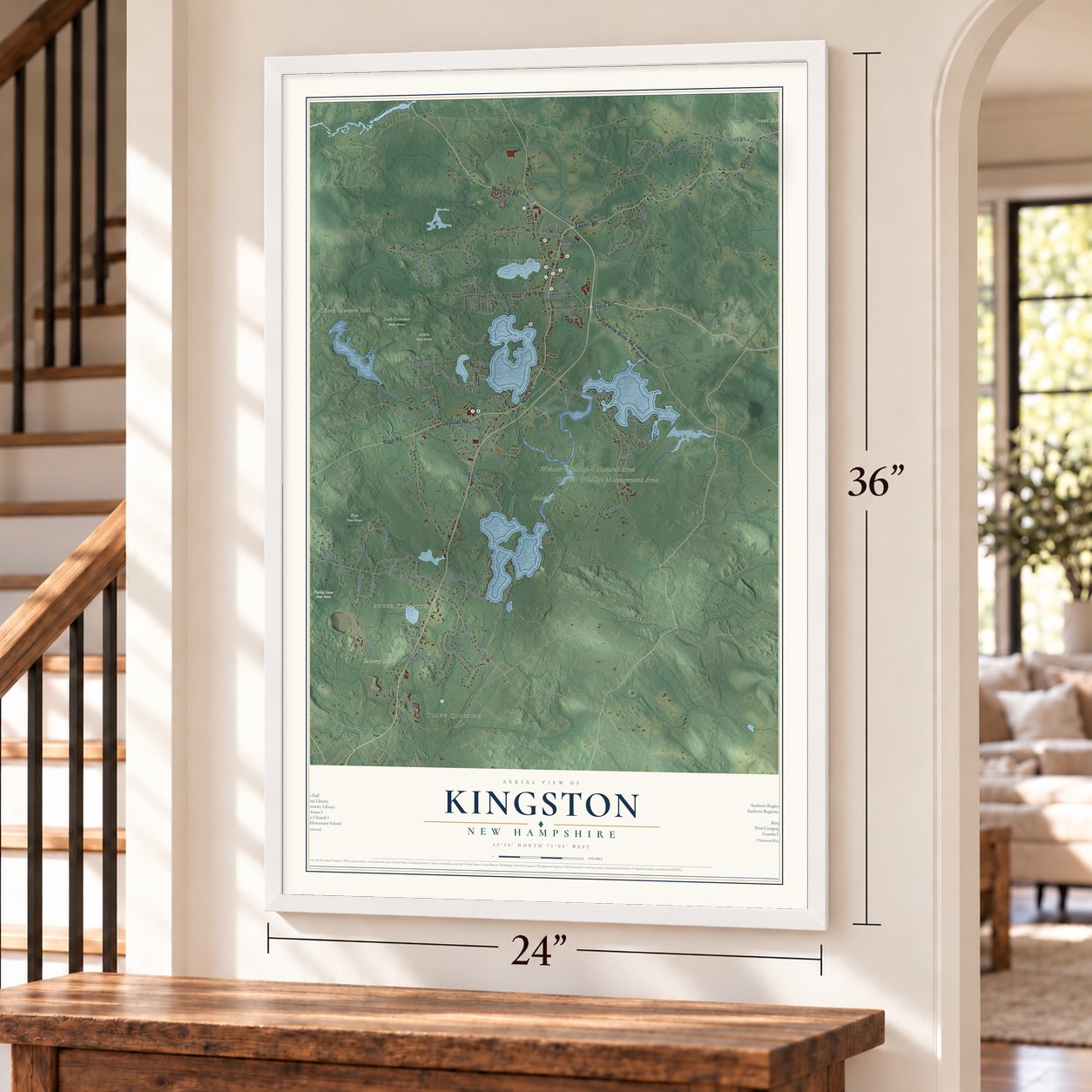
Free U.S. delivery 7 to 10 days after you order
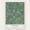
Kingston, New Hampshire Map Art
Building by building, with labeled streets and shaded relief.
12" x 18" Archival Matte Print
A Map of Home. A Work of Art.
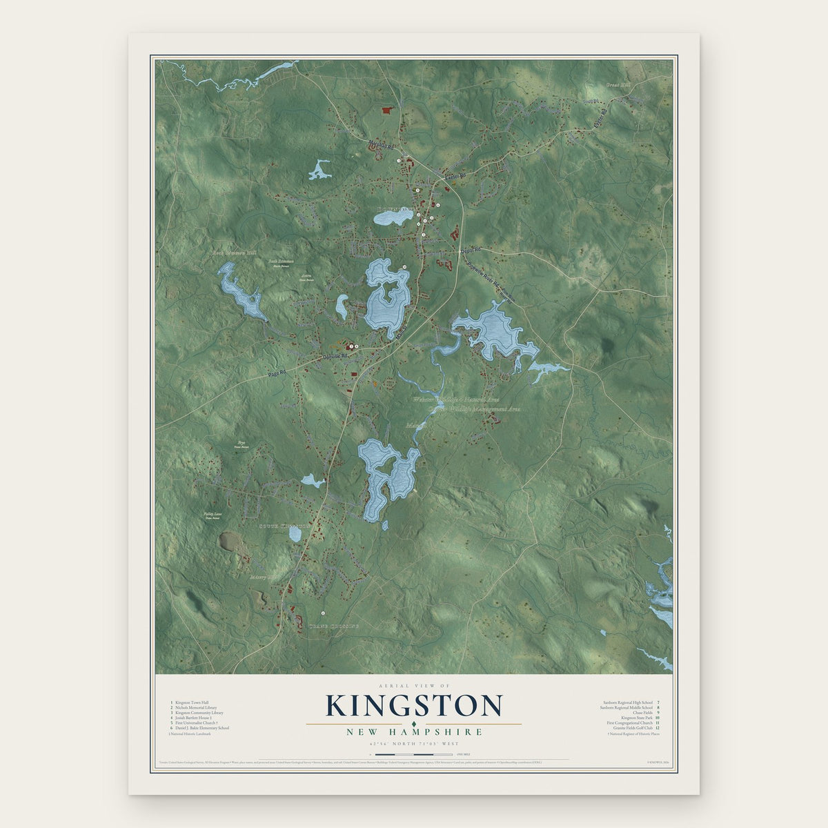
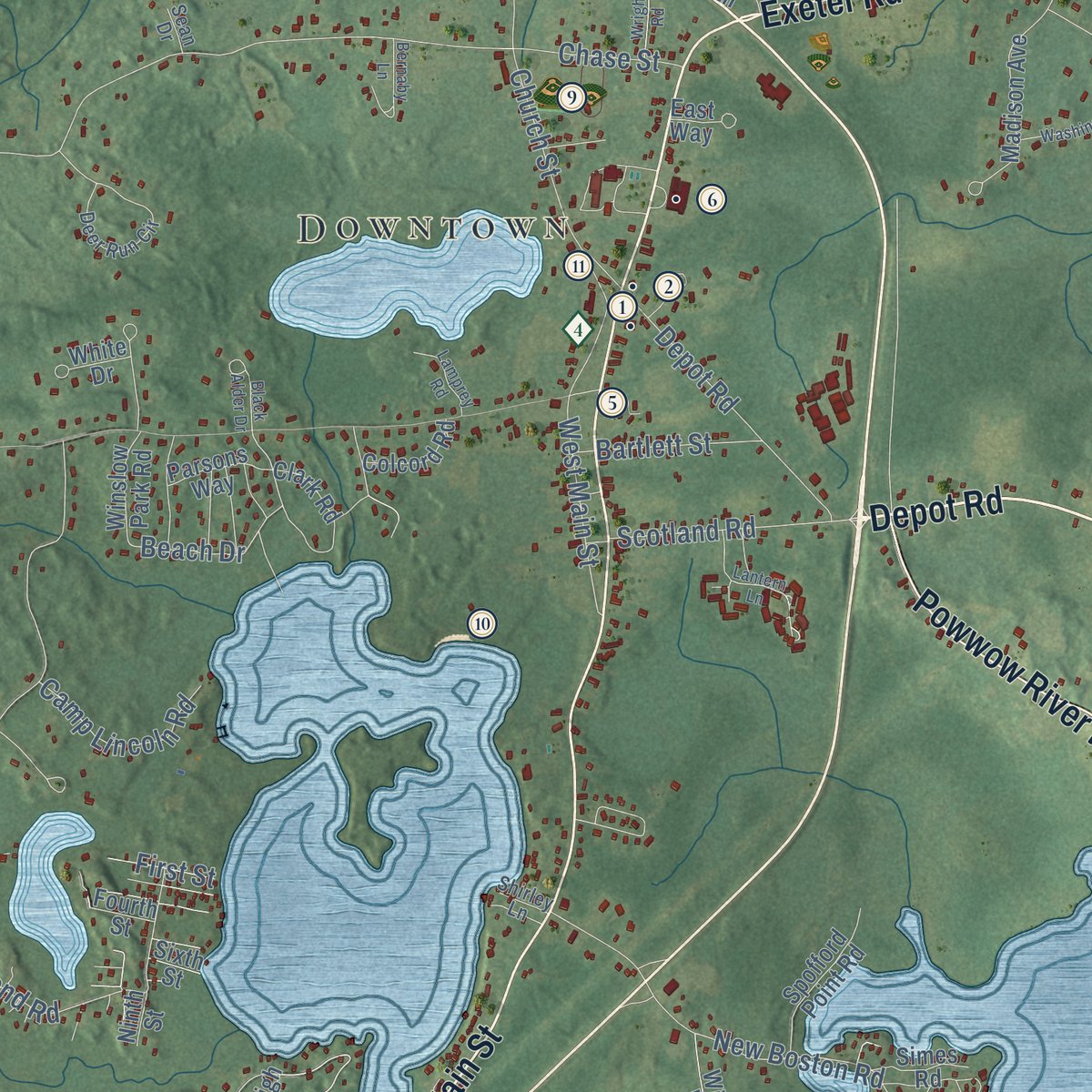
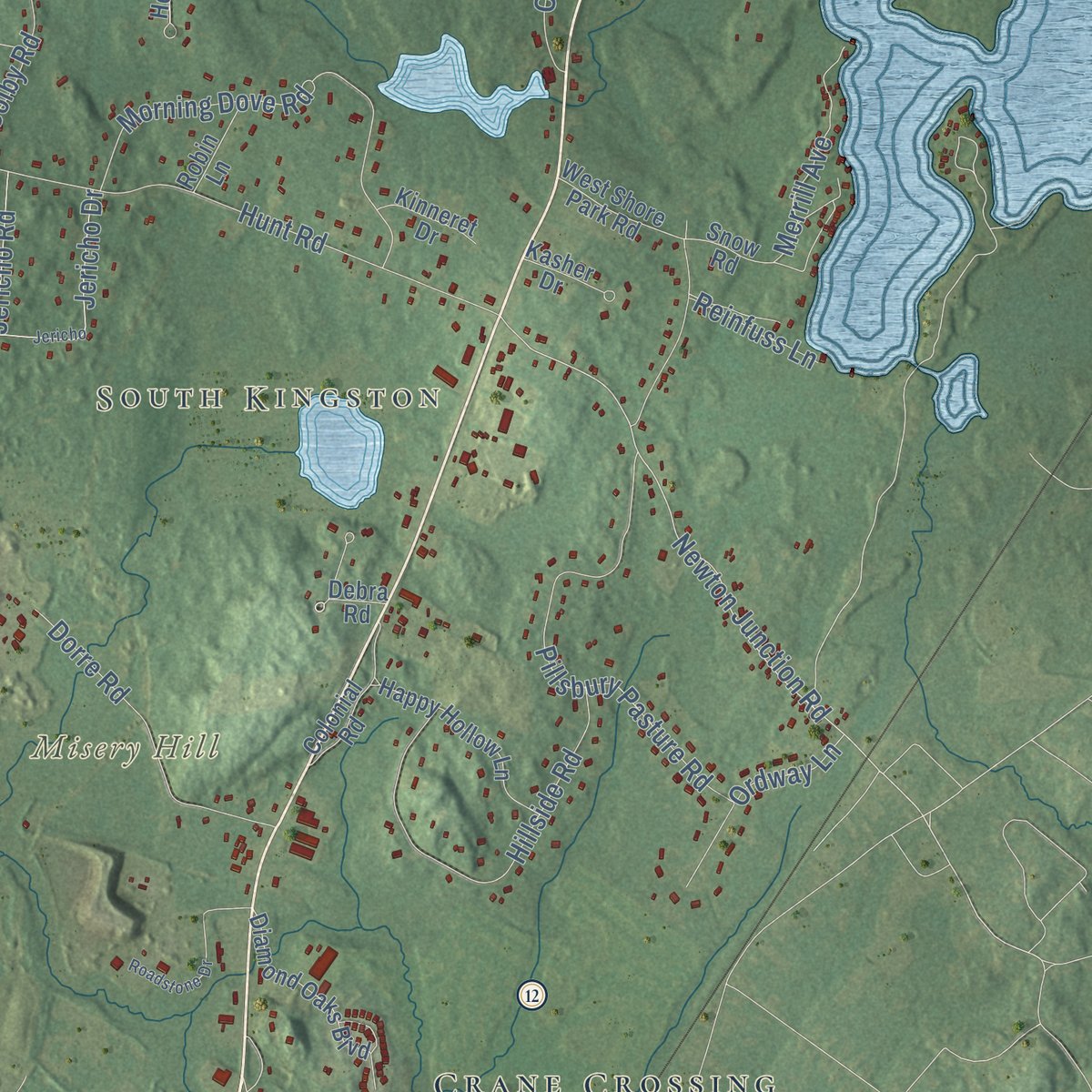
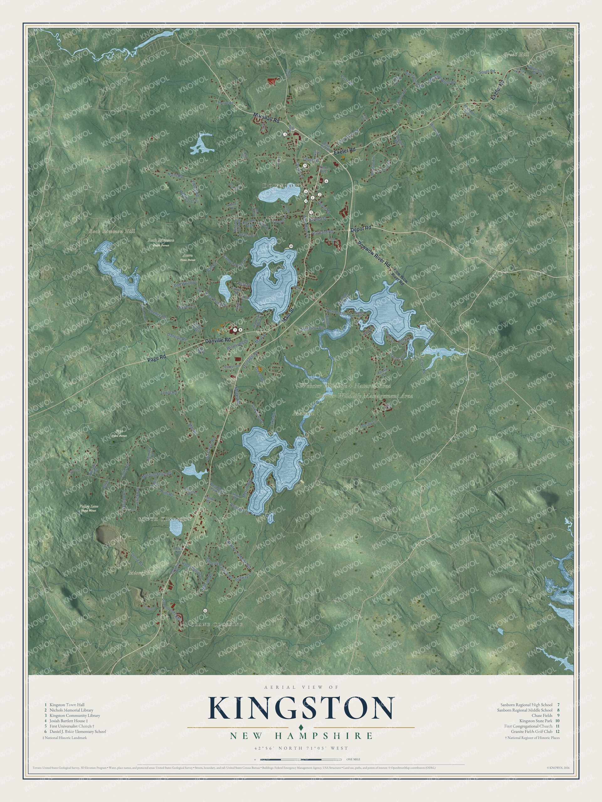
Explore Kingston, New Hampshire from a whole new perspective. Created using aerial imagery and detailed geographic data, this map captures Kingston building by building, with labeled streets, familiar landmarks, and shaded topographical relief that highlights the natural contours of the landscape.
Combining modern data with the timeless character of a vintage atlas, this map is just as interesting up close as it is beautiful on the wall. Whether you grew up in Kingston, spent memorable years there, or call it home today, this unique map is a great way to celebrate a place that means something to you. Zoom in on the preview to look for your street, and then order a print to put your memories on the wall.
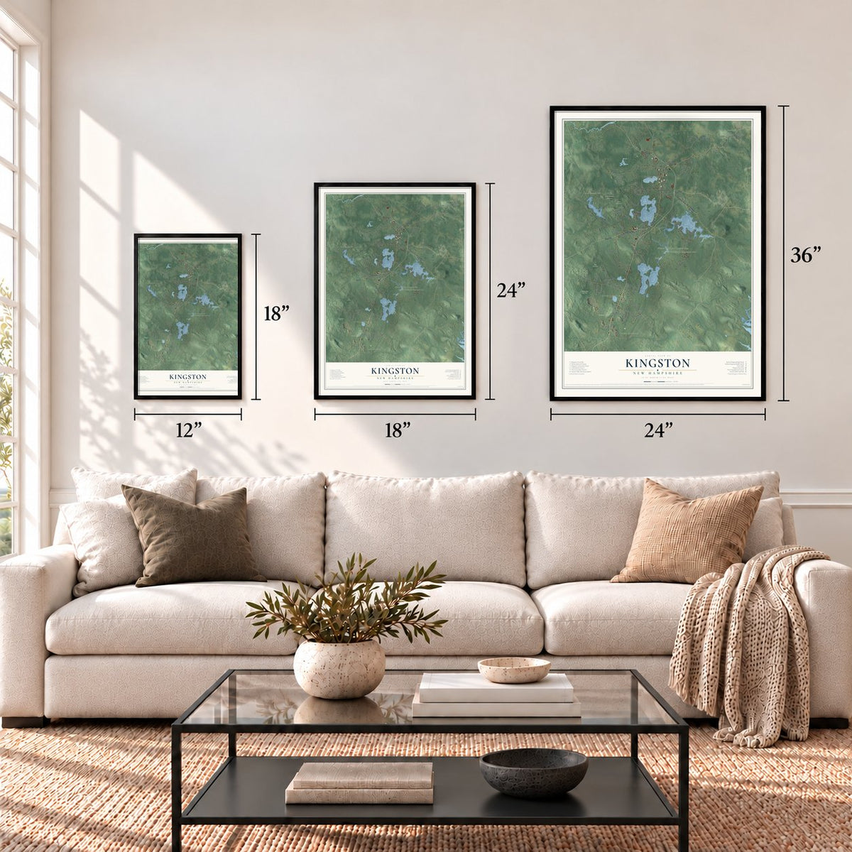
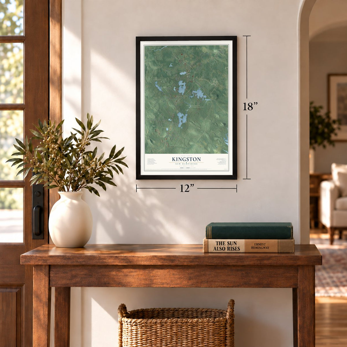
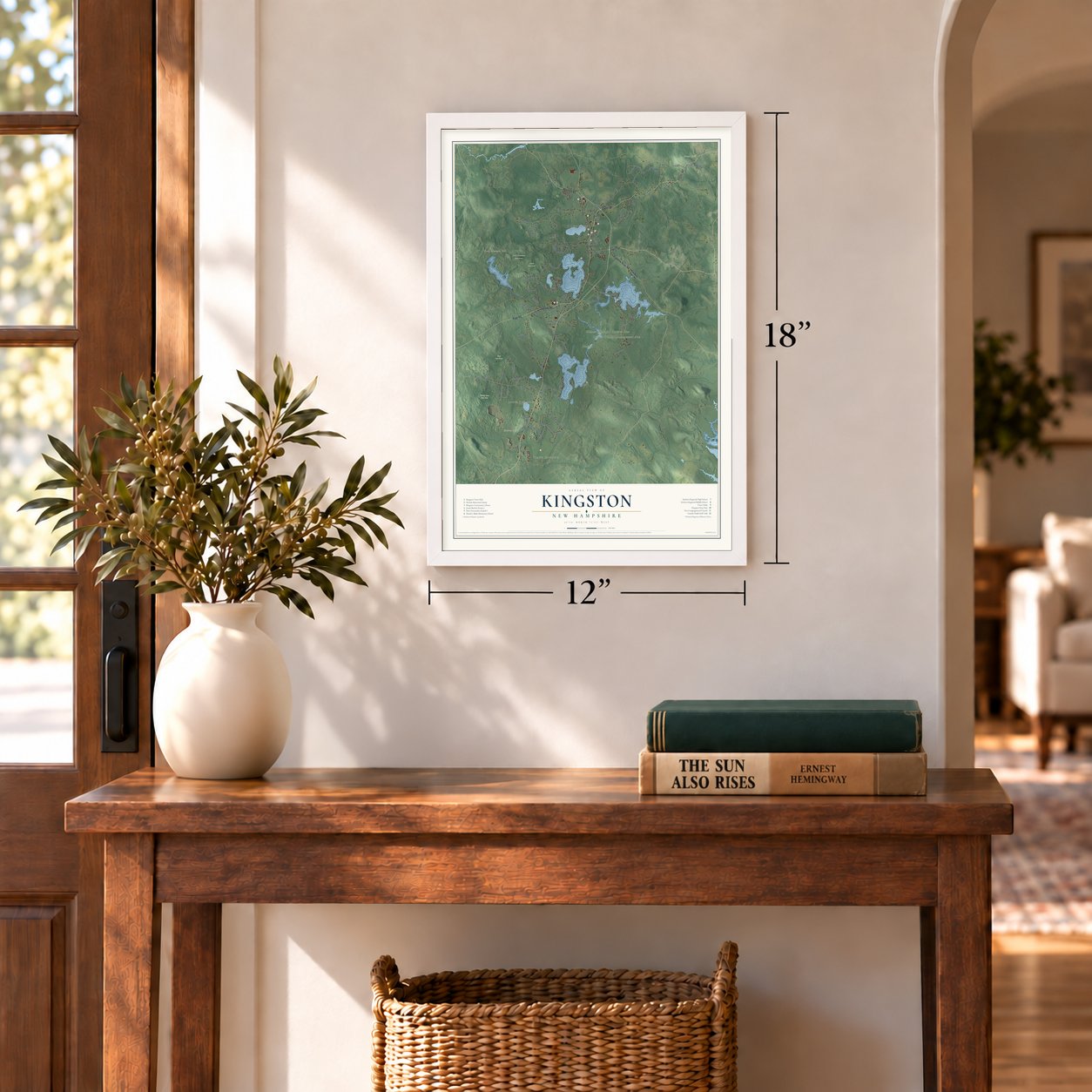
Three ways to hang it
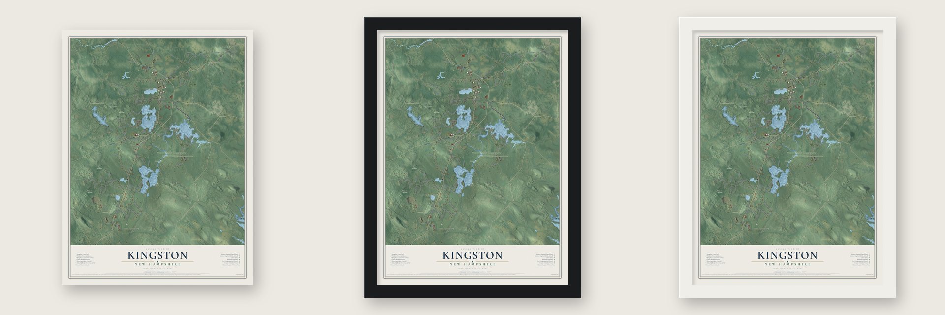
Unframed archival matte, a black wood frame or a white wood frame.
Up close
Geography Worth Displaying
This map was created using accurate cartographic data and authoritative geographic sources, including the U.S. Geological Survey (USGS) and FEMA. The map brings together terrain, waterways, roads, and building detail. The majority of the streets are labeled, houses are accurately depicted, and the topography is derived from government sources. Combining local data with carefully composed color and shading leads to this beautifully detailed Kingston artwork for your wall.
Rather than simply showing street outlines, we’ve included as many of the street names as we could reasonably fit on the map while keeping their names legible. Zoom in on the high resolution preview to see exactly what’s on the map. We truly set out to create a statement piece for anyone who loves Kingston. So whether it’s for you, or a gift for someone you love, we hope this map of Kingston brings back fond memories.
Explore the full map of Kingston, New Hampshire and read about the local places it shows.
Find your street
Names on the Kingston map
Every name below is printed on this map. Look for your street, your school, the park where you played, or the pond down the road.
Places and landmarks13
- Downtown
- South Kingston
- Great Hill
- Misery Hill
- Rock Rimmon Hill
- Currier Wildlife Management Area
- Webster Wildlife + Natural Area
- Manuel
- Acorn Town Forest
- Frye Town Forest
- Rock Rimmon State Forest
- Valley Lane Town Forest
Show all 13 places
- Crane Crossing
Streets and roads116
- Depot Road
- Marshall Road
- Main Street
- Danville Road
- Exeter Road
- Page Road
- Powwow River Road
- Newton Junction Road
- Little River Road
- Mill Road
- Beach Drive
- Ordway Lane
- New Boston Road
- North Road
- Hunt Road
- Ball Road
- Green Road
- Morning Dove Road
- Pillsbury Pasture Road
- Colby Road
- Jericho Drive
- Hillside Road
- Church Street
- Small Pox Road
- Riverwood Road
- Meadow Wood Road
- Cheney Road
- Great Pond Road
- Dorre Road
- West Main Street
Show all 116 streets
- Shore Road
- Farm Road
- Old Coach Road
- Sunshine Drive
- Woodland Drive
- Scotland Road
- Merrill Avenue
- Jericho Road
- South Road
- Windsong Drive
- Lake Road
- Meeks Road
- Camp Lincoln Road
- Bob White Drive
- Elkins Road
- Chase Street
- Bartlett Street
- Towle Road
- Cove Road
- Reinfuss Lane
- Frontage Road
- Nason Lane
- Derby Lane
- First Street
- Pow Wow River Road
- Sixth Street
- Diamond Oaks Boulevard
- West Shore Park Road
- Madison Avenue
- Wadleigh Point
- Travis Cove Road
- Happy Hollow Lane
- Thorne Road
- Colonial Road
- Clark Road
- Ash Drive
- Spofford Point Road
- Rellas Ridge
- Williams Path
- Valley Lane
- Hemlock Road
- Willson Way
- Greystone Road
- Kasher Drive
- Pheasant Run
- Willow Road
- Colcord Road
- Winslow Park Road
- Parsons Way
- Kinneret Drive
- Fourth Street
- White Drive
- Clement Avenue
- Robin Lane
- Maple Street
- Debra Road
- Snow Road
- Blue Bird Lane
- Kenlin Lane
- Simes Road
- Crest Road
- Ninth Street
- East Way
- Coopers Grove Road
- Deer Run Circle
- King Pine Way
- Acorn Drive
- Stoneybrook Lane
- Long Pond Road
- Babscott Lane
- Grand View Terrace
- Lefevre Drive
- Castle Court
- Shirley Lane
- Ladd Road
- Sean Drive
- Alma Avenue
- Lantern Lane
- Bernaby Lane
- Washington Way
- Jericho
- Roadstone Drive
- Black Alder Drive
- Lamprey Road
- Wright Road
- Crawley Falls Road
Names are listed as they appear on the printed map. Zoom into the product photos to find them.
About Kingston, New Hampshire
Kingston, home to 6,202 people, lies in Rockingham County and was the fifth town that New Hampshire created. The land began as the western part of Hampton. Once King Philip's War ended, peace treaties with the local tribes, along with an agreement that Massachusetts Bay and New Hampshire reached in 1692, made new settlements possible, so some Hampton residents petitioned for a township of their own.
King William III answered in 1694 with a royal charter for "Kingstown." The name honored the king by his title instead of his personal name, which was the custom then, and the charter survives today. Each August the town marks its incorporation date, August 6, 1694, with Kingston Days, a weekend of live music, a large flea market and car and motorcycle shows.
- The doctor who voted yesJosiah Bartlett arrived from Amesbury, Massachusetts, in 1750 and spent more than 40 years as a doctor in frontier Kingston. During the 1754 throat distemper outbreak, he found Peruvian bark beat the usual cures. He entered the colonial assembly in 1765, and he was the first Continental Congress delegate called to vote on independence. He voted yes and probably signed the Declaration second, after John Hancock. He led New Hampshire from 1790 to 1794 and died in Kingston in 1795.
- The Church on the PlainsBuilt in 1879 facing the common from its east side, the First Universalist Church was designed by C. Willis Damon of Haverhill, Massachusetts. He used the Stick and Eastlake style and gave the church a tower of four stages to hold a bell and a clock. Services ended in 1954, and the historical society has owned it since 1974. Behind it lies the Plains Cemetery, begun in 1725, where Josiah Bartlett is buried beside his wife, Mary.
- A library from a native sonJ. Howard Nichols grew up in Kingston and became an industrialist in Boston. In 1898 he gave his hometown the Nichols Memorial Library at Main and Depot streets, the only library building in New Hampshire that mixes Shingle style and Richardsonian Romanesque. Its stained glass transoms carry the marks of early bookmakers. In 2012 the town library left for a new home, and the old building kept the town archives and a research collection.
- Sanborn Seminary, 1883Major Edward S. Sanborn put up a brick Victorian Gothic building on Church Street, north of the village, and opened it in 1883 as a boarding high school. The seminary later became Sanborn Regional High School, and the last class to finish at the old campus graduated in 2006.
- Charcoal, shoes and barrelsFarm families in West Kingston turned charcoal making into a major trade, sending wagonloads by horse to Haverhill, Lawrence, Lowell, Exeter and other towns. Peddlers sold some for kindling, while machine shops and silversmiths bought much of the rest. Neighbors hand-sewed whole shoes in tiny shops of a single room. On the Wadleigh Farm, coopers made barrels entirely of wood, and men hauled them to Newburyport, probably for fishermen to pack fish.
Keep exploring New Hampshire
Kingston is one of 279 New Hampshire towns we've mapped. Every dot on the map is a print of its own.
The search covers every state, New Hampshire first.
Near Kingston
Order 2 or more town maps and save 10%. Shown in the size and finish you picked above, so they hang as a set.
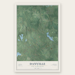
- Danville 12" x 18" / Archival Matte Print $39.99
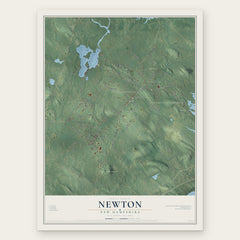
- Newton 12" x 18" / Archival Matte Print $39.99
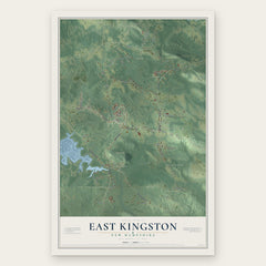
- East Kingston 12" x 18" / Archival Matte Print $39.99
More maps nearby: Plaistow, Brentwood, Hampstead, Kensington and Sandown.
The art of mapping a place
How This Map Was Made
Real places. Remarkable detail. Discover the layers that turn geographic data into a map of home.

The view from above
Aerial imagery reveals the character of the land: woodland, open fields, and the patterns of a place.

The shape of the land
Elevation data brings hills, valleys, and subtle changes in the landscape into view.

The details of home
Roads, waterways, and building footprints come together to make the map feel unmistakably local.

Geography becomes art
Considered color, shading, and typography bring the layers together in a map made for your wall.


Process illustrated with Mendon, Massachusetts. Aerial imagery: USDA NAIP. Terrain: USGS 3D Elevation Program. Map details and finished artwork: KNOWOL.
The Details
About This Print
Choose an archival matte print, or a black or white Ayous wood frame. The archival matte print is unframed.
Select your size and finish above to see the matching product image and price.
Materials & Craftsmanship
A contemporary map with the character of a classic atlas, printed on archival matte paper. Optional frames are made from Ayous wood.
Your printed map does not include the watermark shown in the full-map preview.
Shipping & Delivery
Free shipping within the United States. Every print is made to order in the USA.
Buying a gift? Add a note in your cart and we'll include it. We never put prices in the package.
Prints ship within 2 to 3 business days. Allow 7 to 10 days total from ordering for delivery. Timing may vary during holidays or periods of high order volume.
Read our shipping policy.
Returns and damaged prints
Each print is made to order. Change-of-mind refunds are not available after production.
If your print arrives damaged, misprinted or incorrect, contact support@knowol.com within 30 days of receiving it. Include your order number, photos and a description of the issue.
Read our full refund and replacement policy. For questions about your order, email support@knowol.com.