
Search for another town
Free U.S. delivery 7 to 10 days after you order
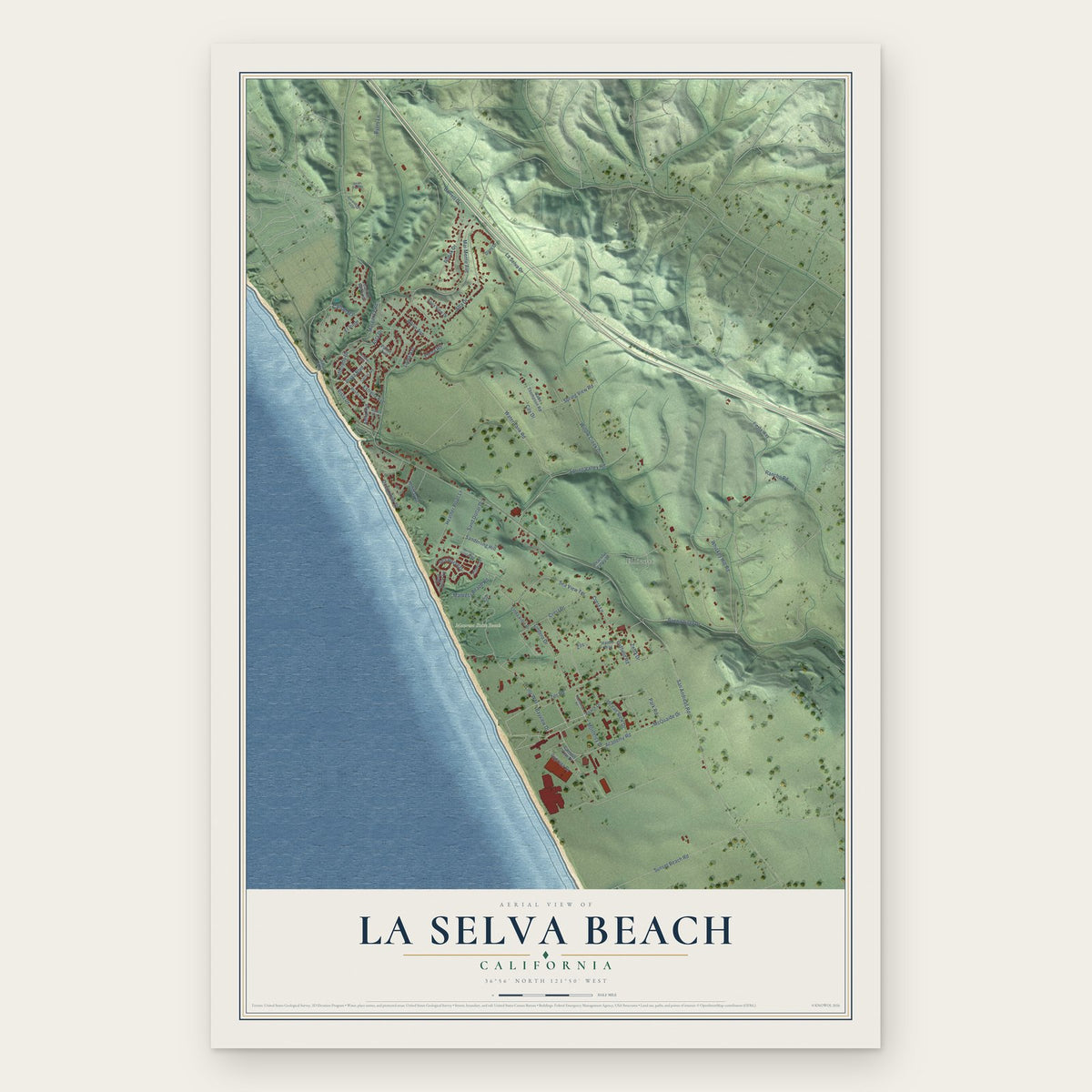
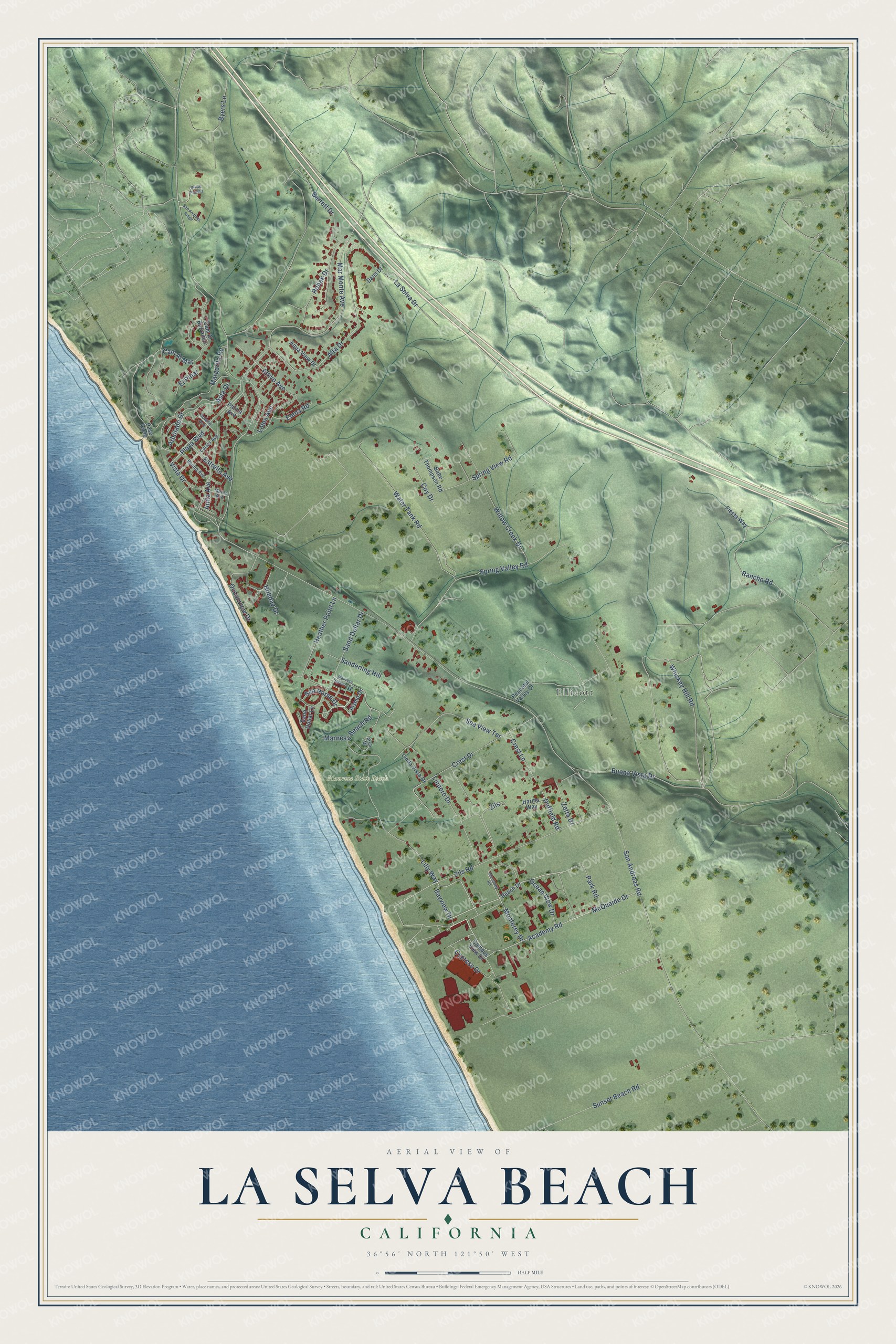
La Selva Beach, California Map Art
Building by building, with labeled streets and shaded relief.
12" x 18" Archival Matte Print
A Map of Home. A Work of Art.
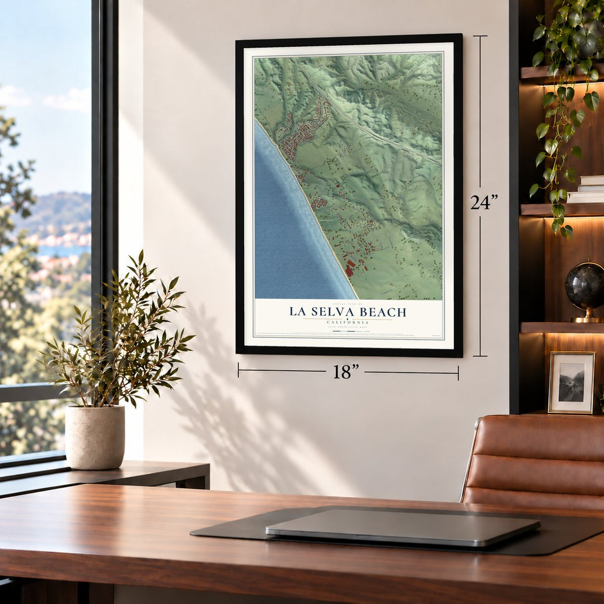
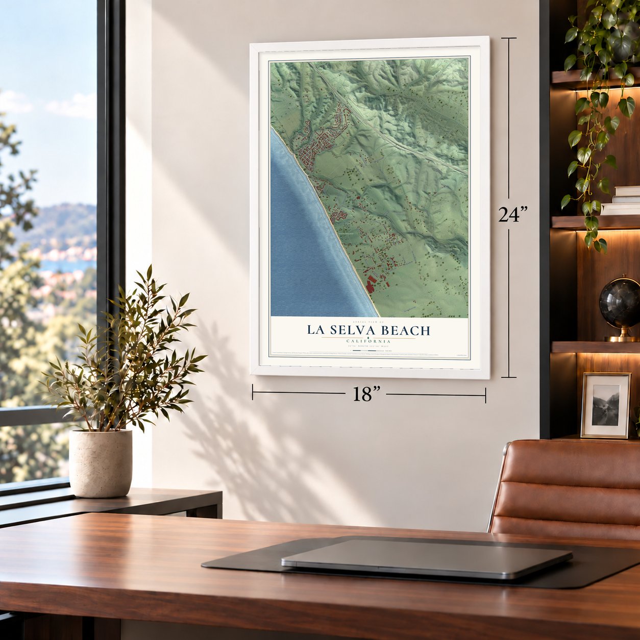
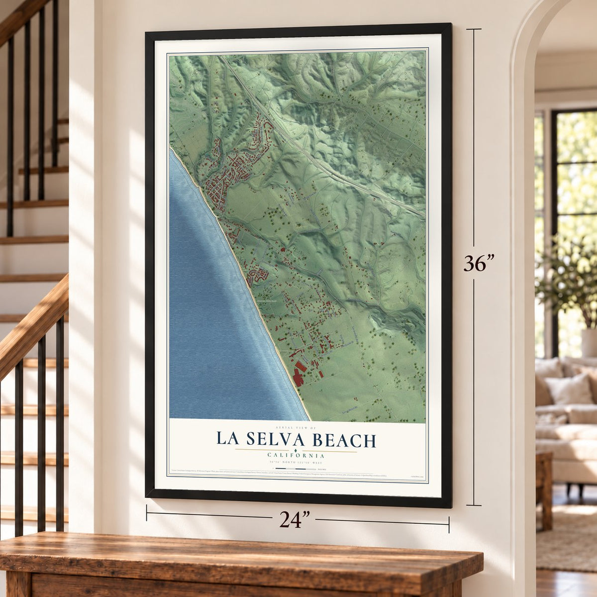
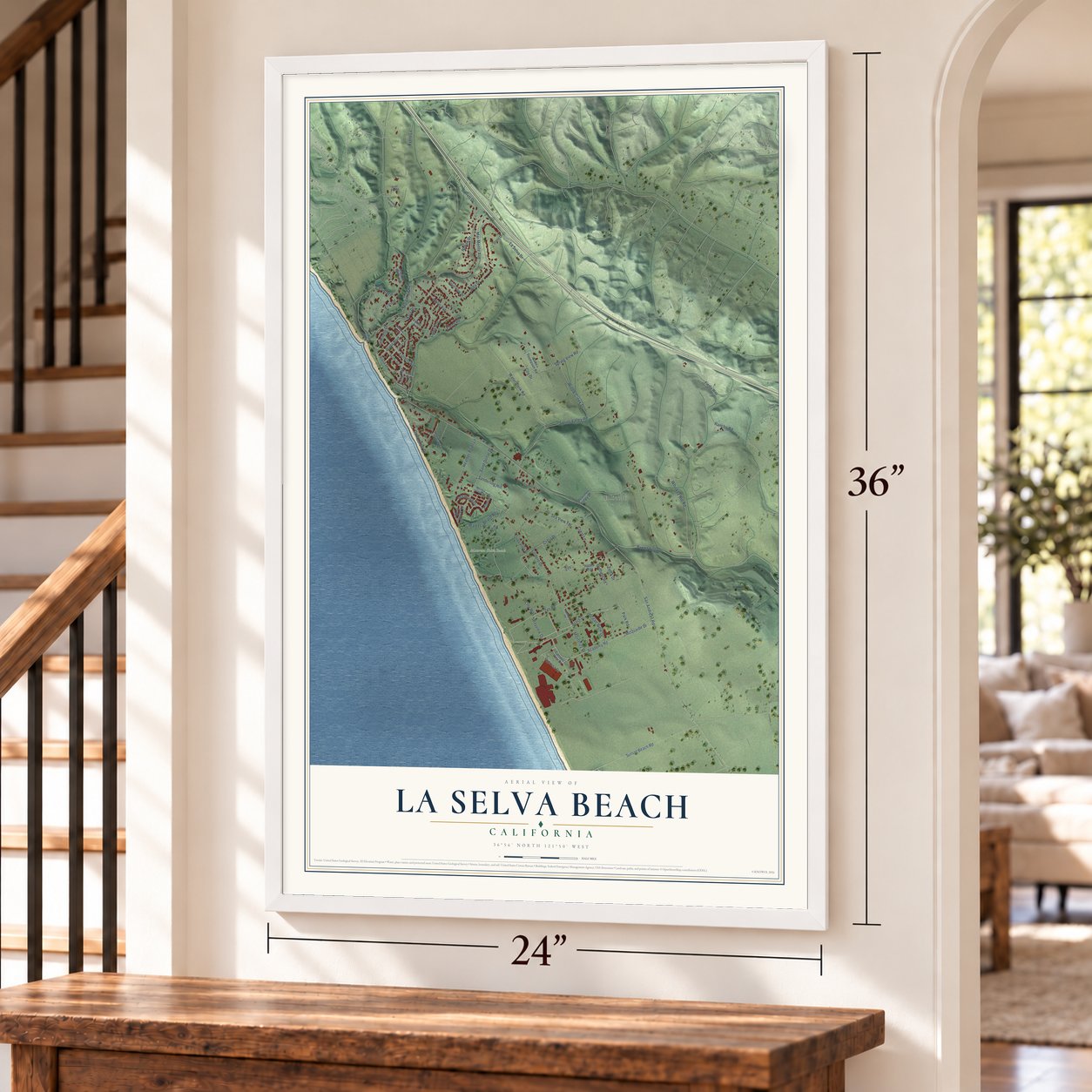
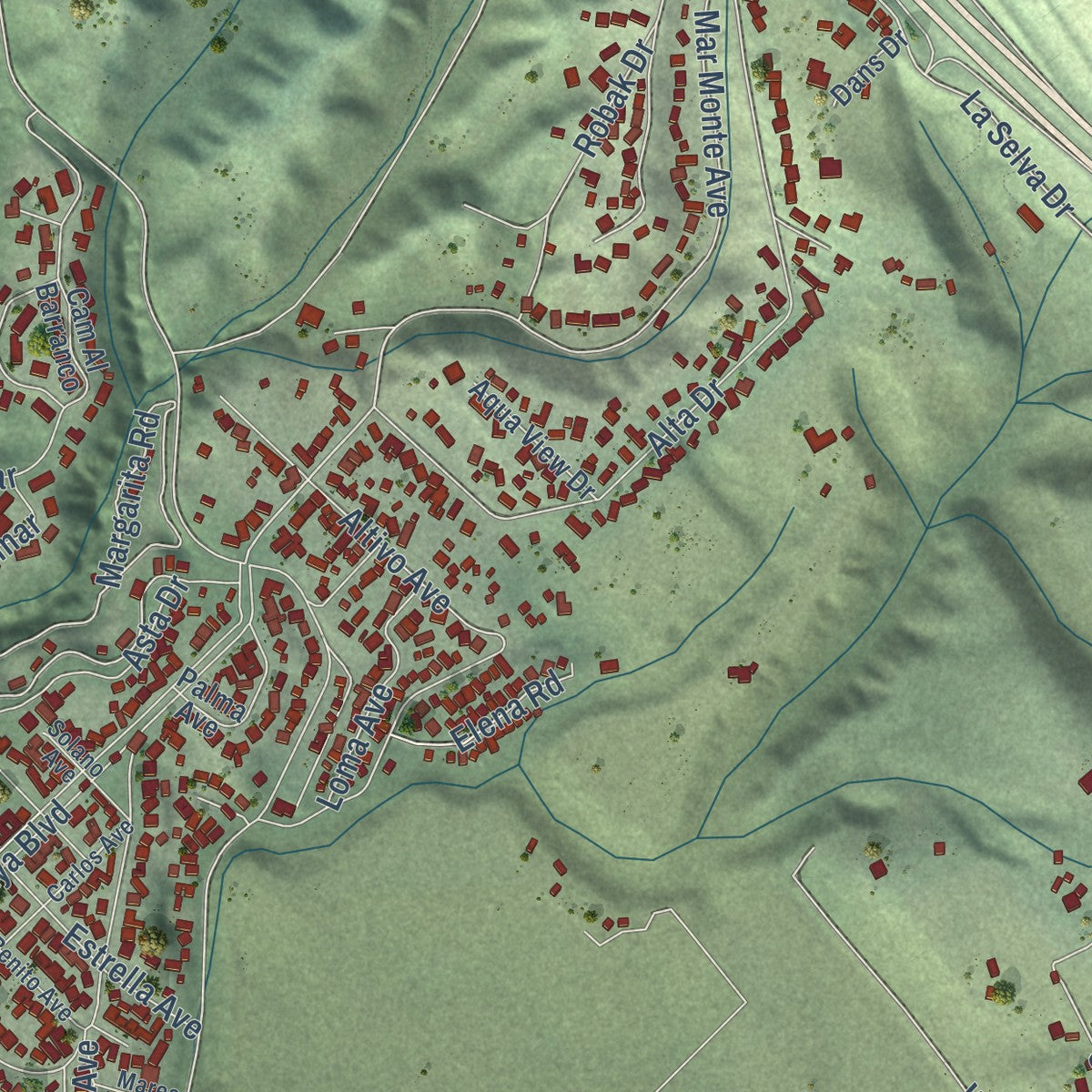
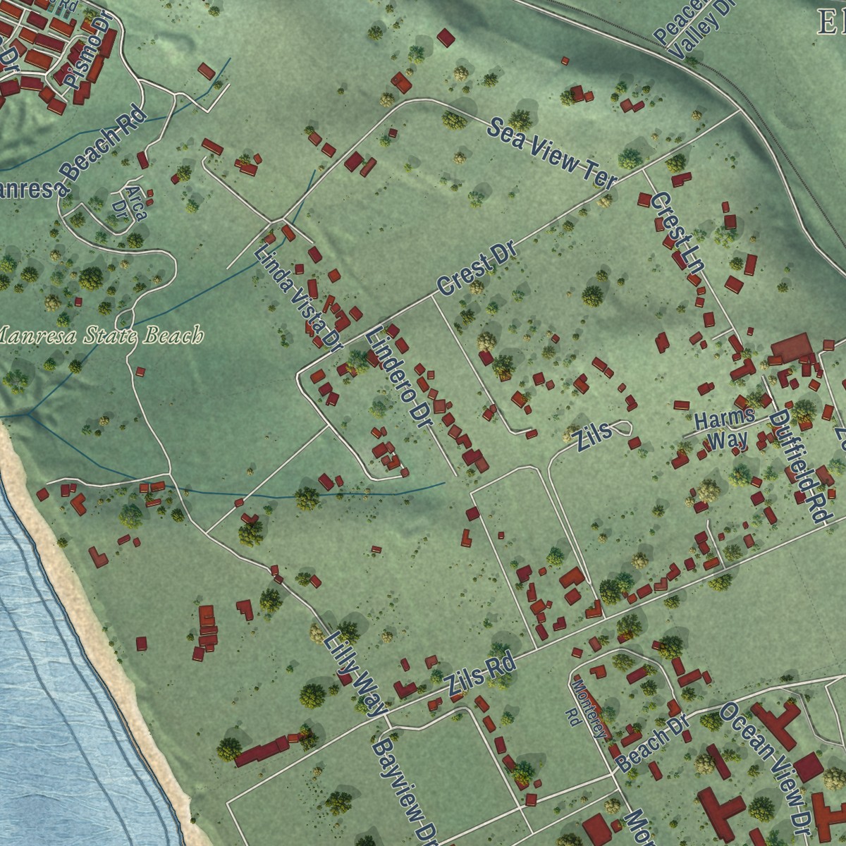
Explore La Selva Beach, California from a whole new perspective. Created using aerial imagery and detailed geographic data, this map captures La Selva Beach building by building, with labeled streets, familiar landmarks, and shaded topographical relief that highlights the natural contours of the landscape.
Combining modern data with the timeless character of a vintage atlas, this map is just as interesting up close as it is beautiful on the wall. Whether you grew up in La Selva Beach, spent memorable years there, or call it home today, this unique map is a great way to celebrate a place that means something to you. Zoom in on the preview to look for your street, and then order a print to put your memories on the wall.
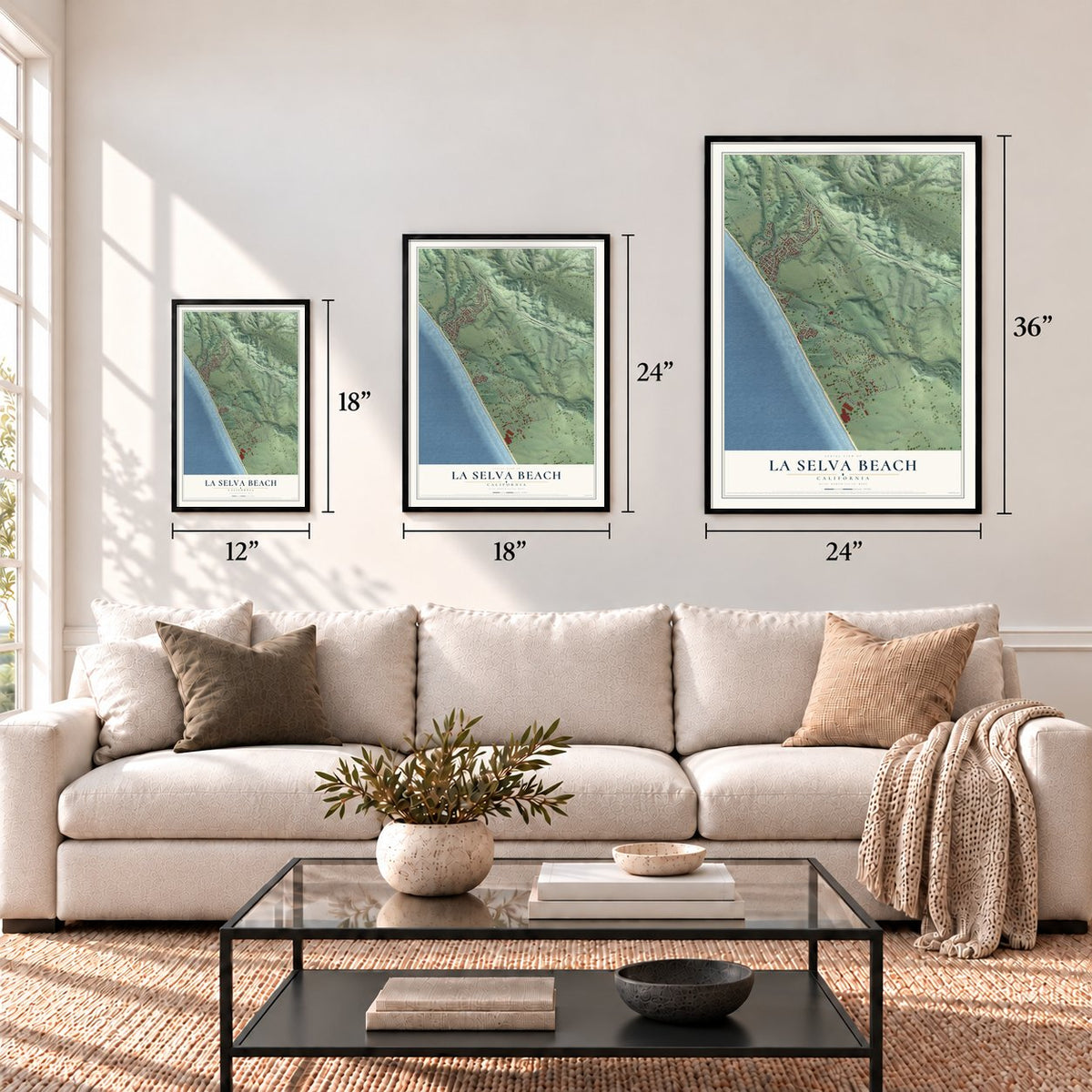
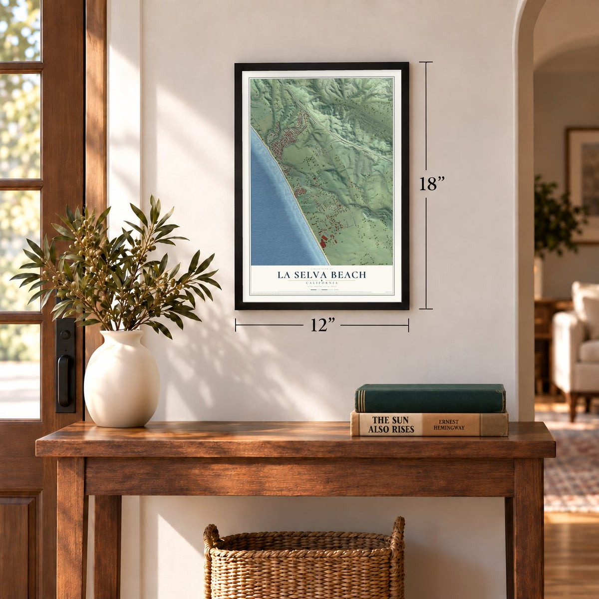
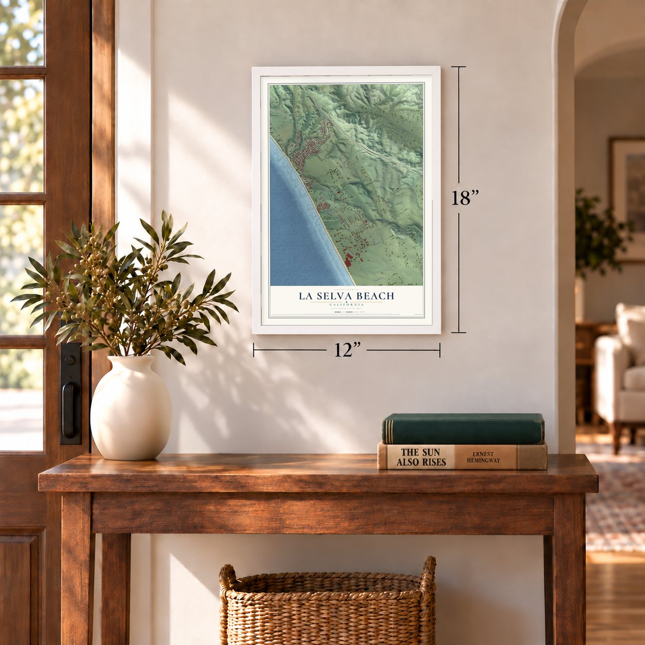
Three ways to hang it
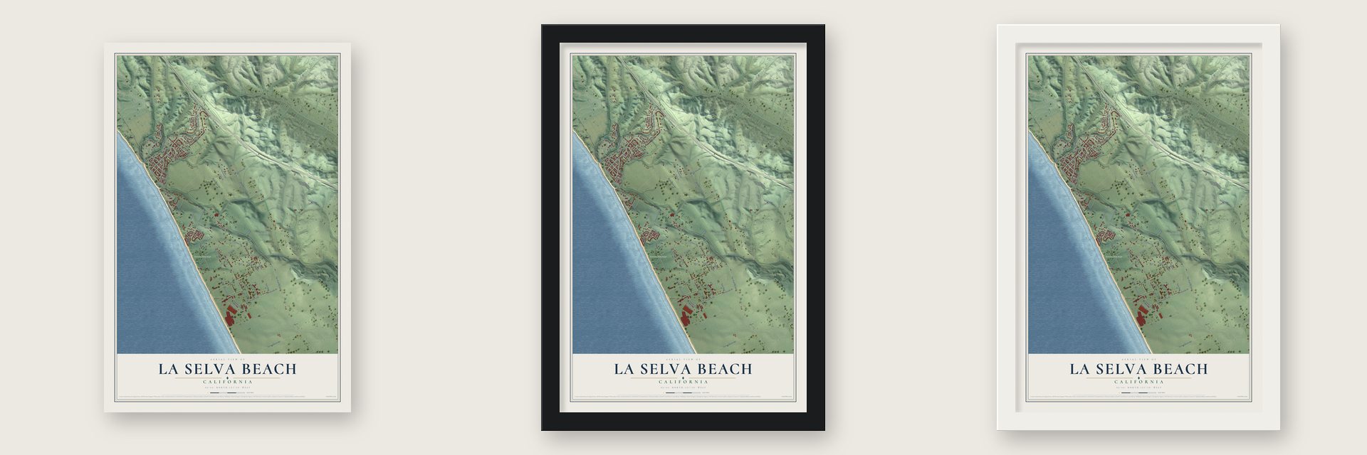
Unframed archival matte, a black wood frame or a white wood frame.
Up close
Geography Worth Displaying
This map was created using accurate cartographic data and authoritative geographic sources, including the U.S. Geological Survey and the Census Bureau. The map brings together terrain, waterways, roads, and building detail. The majority of the streets are labeled, houses are accurately depicted, and the topography is derived from government sources. Combining local data with carefully composed color and shading leads to this beautifully detailed La Selva Beach artwork for your wall.
Rather than simply showing street outlines, we’ve included as many of the street names as we could reasonably fit on the map while keeping their names legible. Zoom in on the high resolution preview to see exactly what’s on the map. We truly set out to create a statement piece for anyone who loves La Selva Beach. So whether it’s for you, or a gift for someone you love, we hope this map of La Selva Beach brings back fond memories.
Read the story behind this map of La Selva Beach, California from 2026.
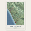
Find your street
Names on the La Selva Beach map
Every name below is printed on this map. Look for your street, your school, the park where you played, or the pond down the road.
Places and landmarks2
- Ellicott
- Manresa State Beach
Streets and roads74
- Playa Boulevard
- Crest Drive
- Whiskey Hill Road
- Mar Monte Avenue
- Sea View Terrace
- La Selva Drive
- Duffield Road
- San Andreas Road
- Alta Drive
- Spring Valley Road
- Margarita Road
- Zils Road
- Sunset Beach Road
- Water Tank Road
- McQuaide Drive
- Altivo Avenue
- Manresa Beach Road
- Buena Vista Drive
- Willow Creek Drive
- Sand Dollar Drive
- Lilly Way
- Monterey Drive
- Spring View Road
- Vista Drive
- Cam Al Mar
- Byers Lane
- Arbolado Drive
- Robak Drive
- Rancho Road
- Oceanview Drive
Show all 74 streets
- Asta Drive
- Academy Road
- Heather Point Lane
- Estrella Avenue
- Barrett Drive
- Crest Lane
- Cypress Drive
- Loma Avenue
- Ocean View Drive
- Zils
- Sea Horse Drive
- Lindero Drive
- Elena Road
- Holiday Drive
- Park Road
- El Pinar
- Sanderling Hill
- Anita Avenue
- Bayview Drive
- Zetta Drive
- Coy Drive
- Beach Drive
- Campus View Drive
- Pismo Drive
- Babe Thompson Road
- Linda Vista Drive
- Peaceful Valley Drive
- Cam Al Barranco
- Palma Avenue
- Aqua View Drive
- Fiesta Way
- Harms Way
- Paso Cielo
- Sand Dollar Lane
- Dans Drive
- Arca Drive
- Carlos Avenue
- Benito Avenue
- Solano Avenue
- Marea Avenue
- Manresa Uplands Road
- Monterey Road
- San Andreas Ridge
- Cll de Peasha
Names are listed as they appear on the printed map. Zoom into the product photos to find them.
About La Selva Beach, California
La Selva Beach is a community of 2,531 people in Santa Cruz County, on Monterey Bay. In 1925 the developer David W. Batchelor paid $50,000 for 270 acres along the bay and called the land Rob Roy, hoping to build a seaside town and a vacation resort. The Depression stopped the project, and in 1935 the property was sold to Edward Burghard of Los Angeles.
Under Burghard the place became La Selva Beach, pairing the Spanish words for "the forest" with the English word beach. When it began, thick conifer woods surrounded the little community. In 1947 residents organized a nonprofit association, and in 1949 that association bought the clubhouse that had gone up in 1935 as a sales office. The clubhouse has held the community's gatherings since it was built.
- Rob Roy lived on until 2000Batchelor's original name faded after 1935, but the Rob Roy Video Store kept it alive as the only business in the area to remember it. The store closed in 2000.
- Homes of the early 1960sBatchelor's resort never came to pass, but the town filled in later. Most of the houses standing in La Selva Beach today were built in the early 1960s.
- Taking "Beach" off the signsIn the 1970s residents persuaded the state government to drop the word "Beach" from the highway direction signs. The official name of the community never changed, and it is still La Selva Beach.
- Close to Loma Prieta in 1989The town sits near the San Andreas Fault. When the Loma Prieta earthquake struck on October 17, 1989, its epicenter was not far from La Selva Beach.
- A Fourth of July paradeEach summer children rehearse baton twirling and build floats while their parents work out routines with library push carts, all to get ready for the town's 4th of July Parade. The central park, Triangle Park, is shaped like a triangle and flies the flags of the world, and Manresa State Beach lies next door.
Keep exploring California
La Selva Beach is one of 1,990 California towns we've mapped. Every dot on the map is a print of its own.
The search covers every state, California first.
Near La Selva Beach
Order 2 or more town maps and save 10%. Shown in the size and finish you picked above, so they hang as a set.
- Aptos Hills-Larkin Valley 12" x 18" / Archival Matte Print $39.99
- Freedom 12" x 18" / Archival Matte Print $39.99
- Rio del Mar 12" x 18" / Archival Matte Print $39.99
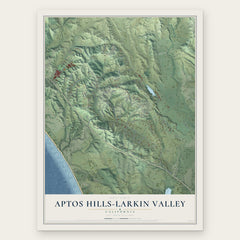
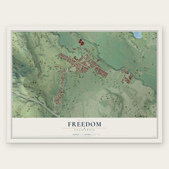
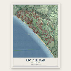
More maps nearby: Watsonville, Amesti, Pajaro Dunes, Corralitos and Aptos.
The art of mapping a place
How This Map Was Made
Real places. Remarkable detail. Discover the layers that turn geographic data into a map of home.

The view from above
Aerial imagery reveals the character of the land: woodland, open fields, and the patterns of a place.

The shape of the land
Elevation data brings hills, valleys, and subtle changes in the landscape into view.

The details of home
Roads, waterways, and building footprints come together to make the map feel unmistakably local.

Geography becomes art
Considered color, shading, and typography bring the layers together in a map made for your wall.


Process illustrated with Mendon, Massachusetts. Aerial imagery: USDA NAIP. Terrain: USGS 3D Elevation Program. Map details and finished artwork: KNOWOL.
The Details
About This Print
Choose an archival matte print, or a black or white Ayous wood frame. The archival matte print is unframed.
Select your size and finish above to see the matching product image and price.
Materials & Craftsmanship
A contemporary map with the character of a classic atlas, printed on archival matte paper. Optional frames are made from Ayous wood.
Your printed map does not include the watermark shown in the full-map preview.
Shipping & Delivery
Free shipping within the United States. Every print is made to order in the USA.
Buying a gift? Add a note in your cart and we'll include it. We never put prices in the package.
Prints ship within 2 to 3 business days. Allow 7 to 10 days total from ordering for delivery. Timing may vary during holidays or periods of high order volume.
Read our shipping policy.
Returns and damaged prints
Each print is made to order. Change-of-mind refunds are not available after production.
If your print arrives damaged, misprinted or incorrect, contact support@knowol.com within 30 days of receiving it. Include your order number, photos and a description of the issue.
Read our full refund and replacement policy. For questions about your order, email support@knowol.com.