
Search for another town



Free U.S. delivery 7 to 10 days after you order
Watsonville, California Map Art
Building by building, with labeled streets and shaded relief.
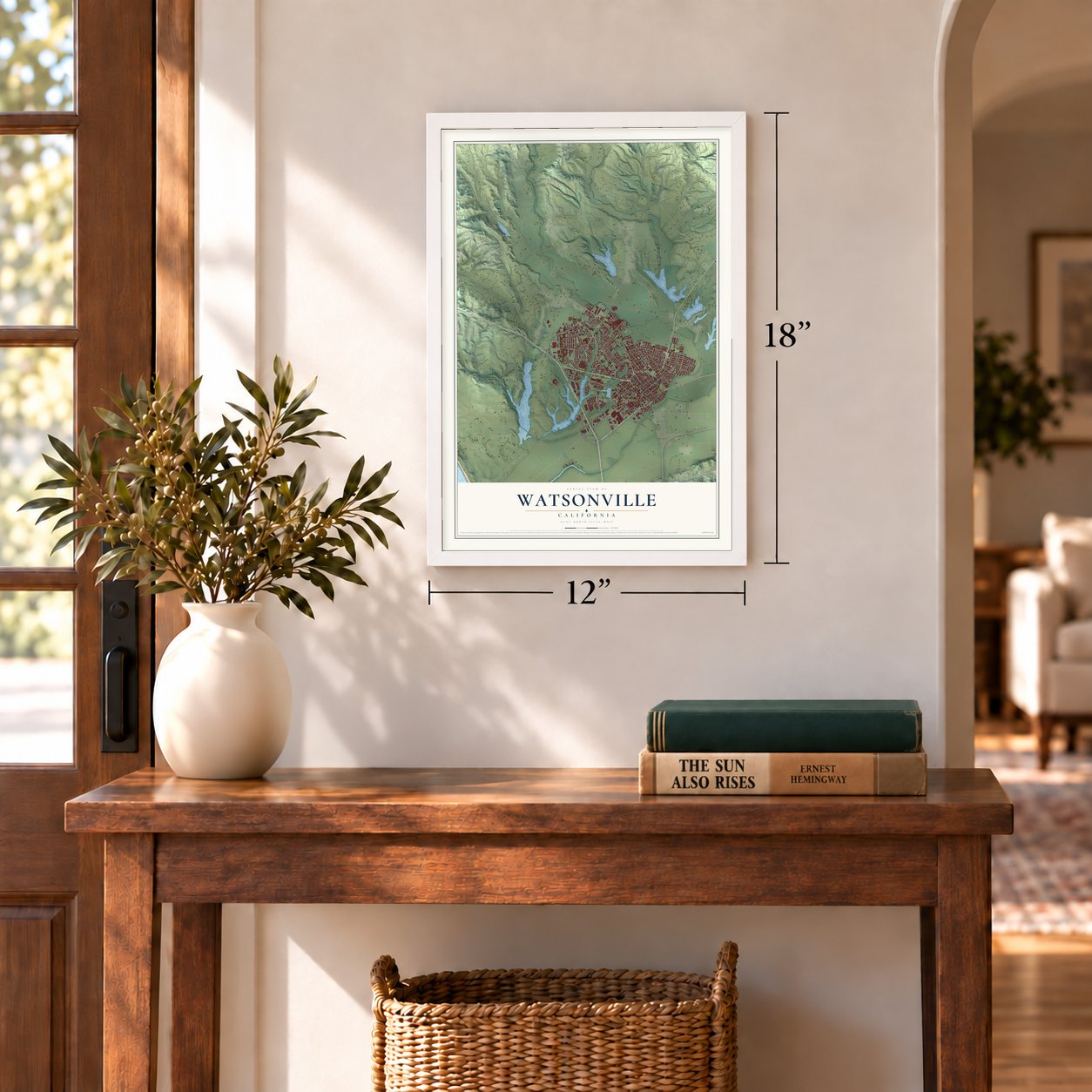
12" x 18" Archival Matte Print
A Map of Home. A Work of Art.
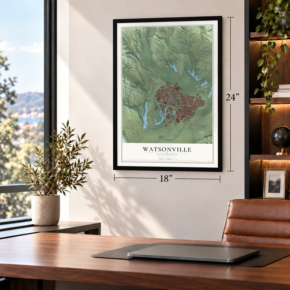
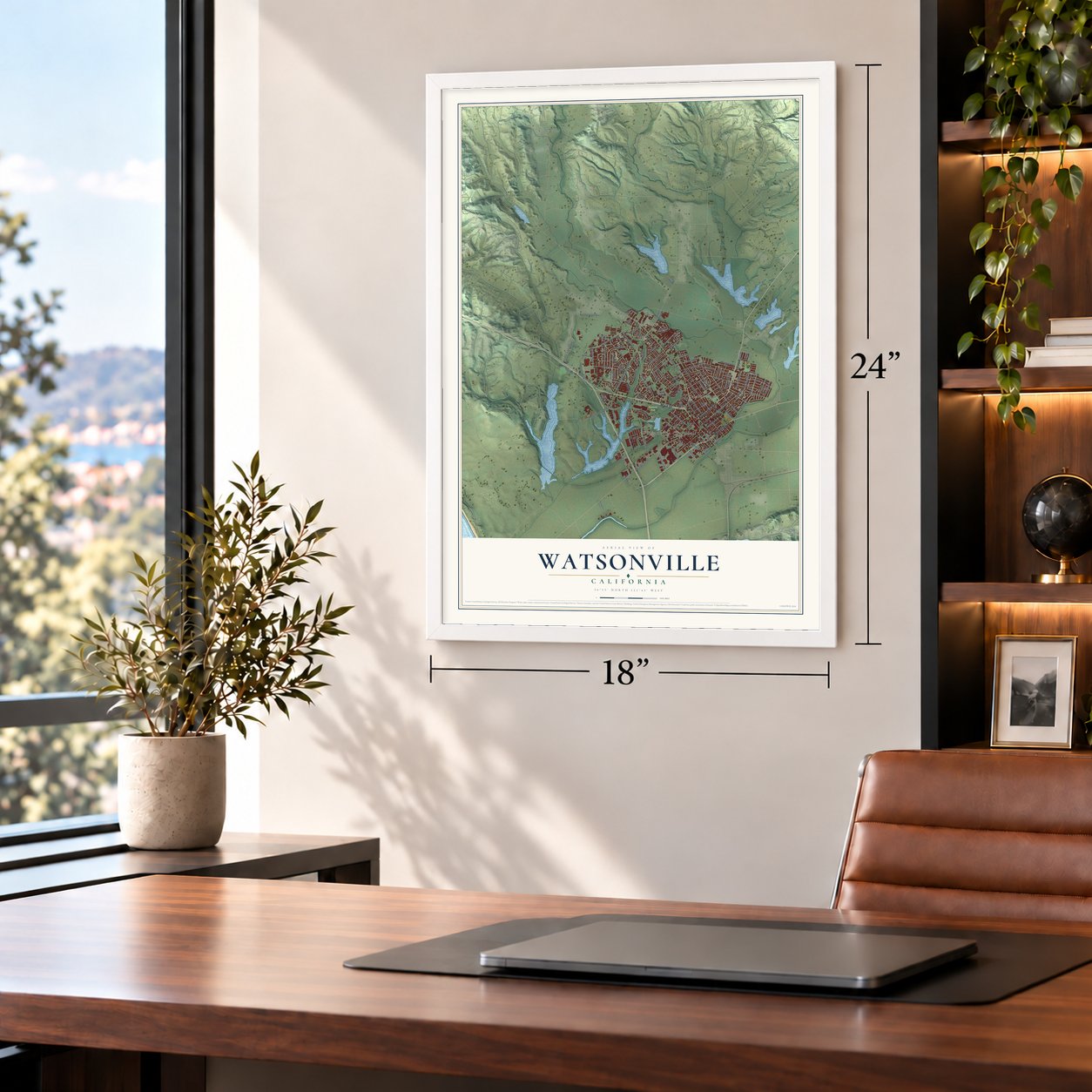
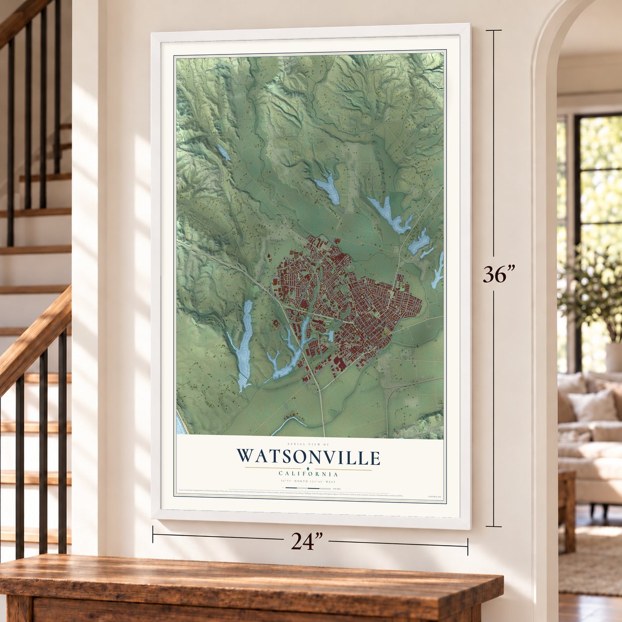
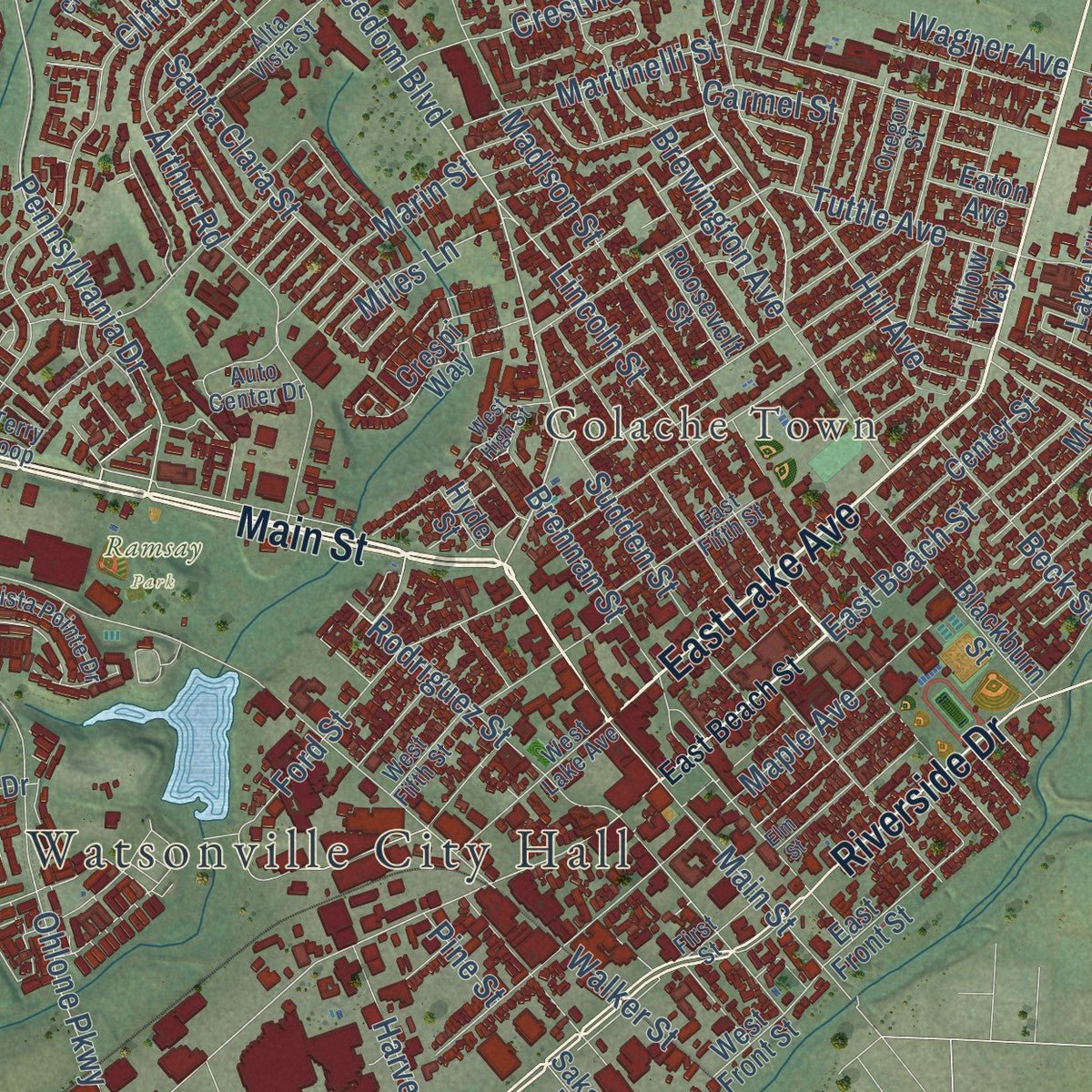
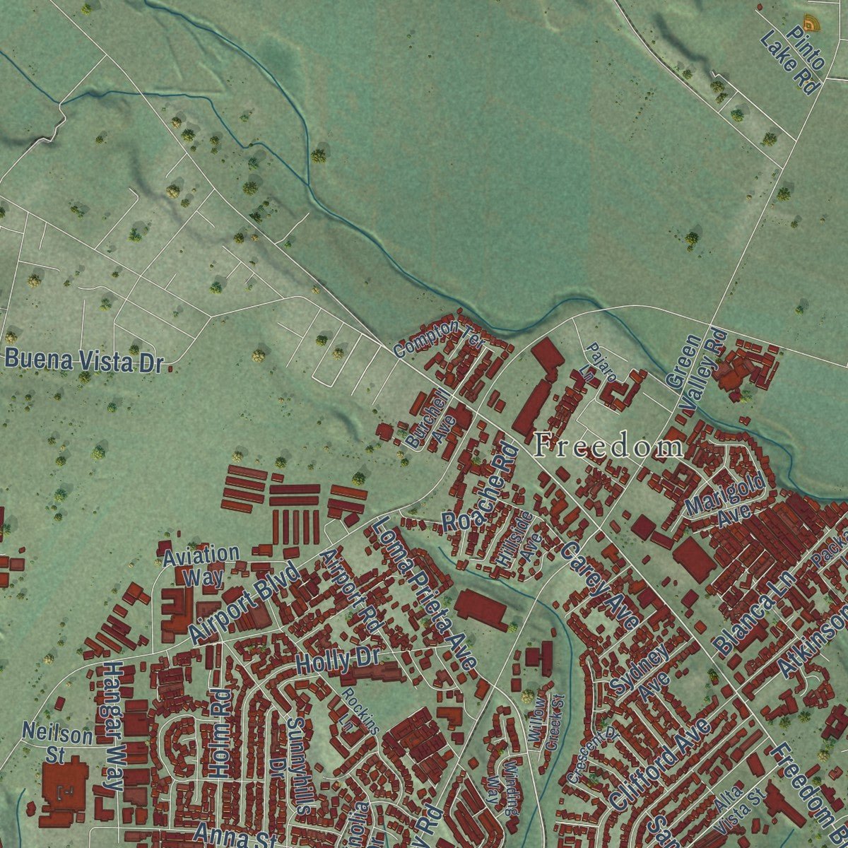
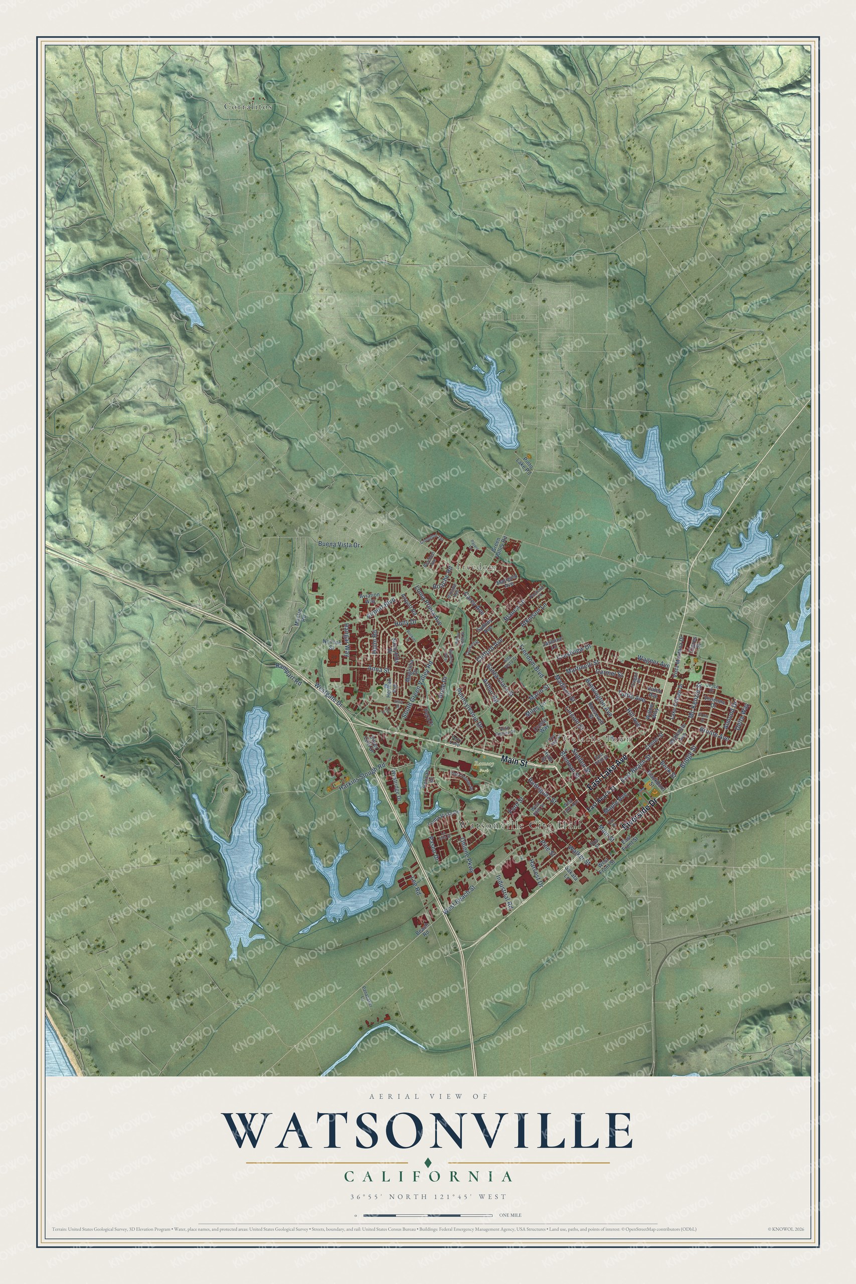
Explore Watsonville, California from a whole new perspective. Created using aerial imagery and detailed geographic data, this map captures Watsonville building by building, with labeled streets, familiar landmarks, and shaded topographical relief that highlights the natural contours of the landscape.
Combining modern data with the timeless character of a vintage atlas, this map is just as interesting up close as it is beautiful on the wall. Whether you grew up in Watsonville, spent memorable years there, or call it home today, this unique map is a great way to celebrate a place that means something to you. Zoom in on the preview to look for your street, and then order a print to put your memories on the wall.
Three ways to hang it
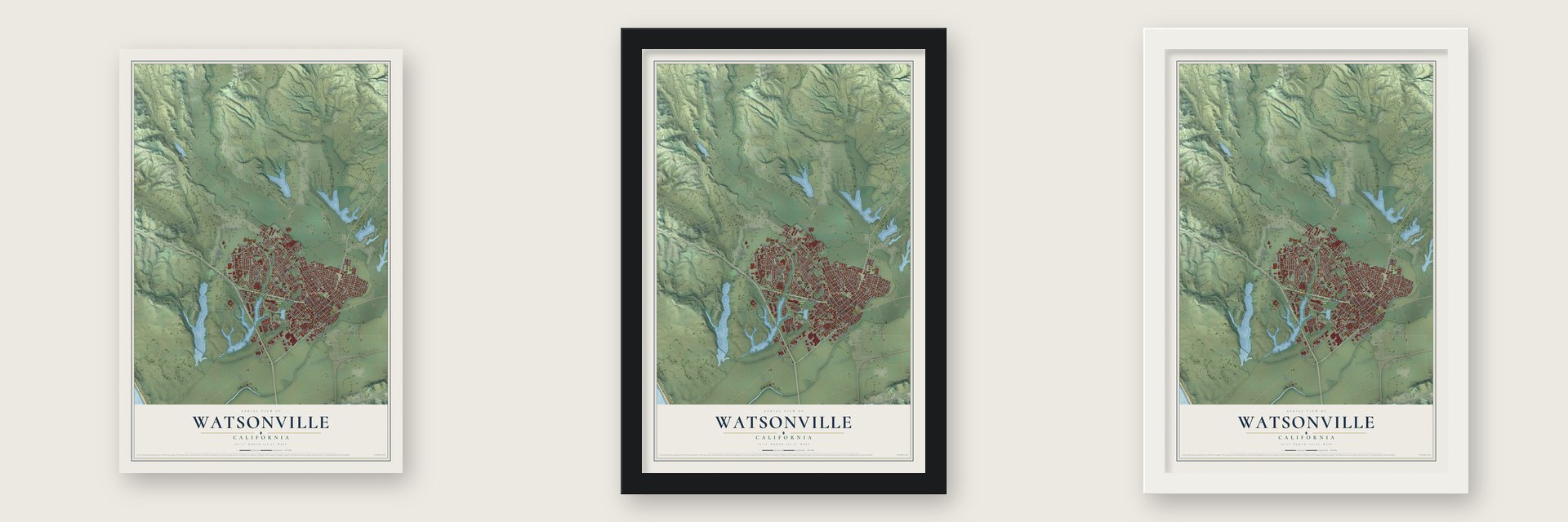
Unframed archival matte, a black wood frame or a white wood frame.
Up close
Geography Worth Displaying
This map was created using accurate cartographic data and authoritative geographic sources, including the U.S. Geological Survey and the Census Bureau. The map brings together terrain, waterways, roads, and building detail. The majority of the streets are labeled, houses are accurately depicted, and the topography is derived from government sources. Combining local data with carefully composed color and shading leads to this beautifully detailed Watsonville artwork for your wall.
Rather than simply showing street outlines, we’ve included as many of the street names as we could reasonably fit on the map while keeping their names legible. Zoom in on the high resolution preview to see exactly what’s on the map. We truly set out to create a statement piece for anyone who loves Watsonville. So whether it’s for you, or a gift for someone you love, we hope this map of Watsonville brings back fond memories.
Read the story behind this map of Watsonville, California from 2026.

Find your street
Names on the Watsonville map
Every name below is printed on this map. Look for your street, your school, the park where you played, or the pond down the road.
Places and landmarks5
- Watsonville City Hall
- Freedom
- Colache Town
- Ramsay Park
- Corralitos
Streets and roads114
- Main Street
- East Lake Avenue
- Riverside Drive
- Freedom Boulevard
- Pennsylvania Drive
- Lincoln Street
- Rodriguez Street
- West Beach Street
- Ohlone Parkway
- Paseo Drive
- South Green Valley Road
- Bronte Avenue
- Buena Vista Drive
- Airport Boulevard
- Bridge Street
- Harkins Slough Road
- Brewington Avenue
- Tuttle Avenue
- Clifford Avenue
- Walker Street
- Madison Street
- Martinelli Street
- Holm Road
- Anna Street
- Arthur Road
- Lee Road
- Holly Drive
- Mc Kenzie Street
- Ford Street
- Hill Avenue
Show all 114 streets
- Delta Way
- Santa Clara Street
- Westgate Drive
- Maple Avenue
- Hope Drive
- East Beach Street
- Crestview Drive
- Wagner Avenue
- Brennan Street
- Blanca Lane
- Loma Prieta Avenue
- Atkinson Lane
- Carey Avenue
- Marin Street
- Sudden Street
- Almond Drive
- Beck Street
- Hangar Way
- Industrial Road
- Harvest Drive
- Roache Road
- Miles Lane
- Rampart Road
- Carmel Street
- Pine Street
- Loma Vista Drive
- Green Valley Road
- McKenzie Avenue
- Vivienne Drive
- Herman Avenue
- Center Street
- Aviation Way
- Blackburn Street
- Crespi Way
- Sunnyhills Drive
- Manfre Road
- Marigold Avenue
- Vista Montana Drive
- Pera Drive
- Willow Way
- Magnolia Drive
- Airport Road
- Lake Village Drive
- Silver Leaf Drive
- Westridge Drive
- West Front Street
- East Front Street
- Jasmine Lane
- Roosevelt Street
- Pinto Lake Road
- Sydney Avenue
- Pelican Drive
- Neilson Street
- Eaton Avenue
- Beach Road
- Cipres Street
- Sakata Lane
- Hyde Street
- Auto Center Drive
- East Fifth Street
- Oregon Street
- Alta Vista Street
- West Fifth Street
- First Street
- West Lake Avenue
- Terry Loop
- Vista Pointe Drive
- Compton Terrace
- Burchell Avenue
- Panabaker Lane
- Joyce Drive
- Packard Lane
- Hillside Avenue
- Crescent Drive
- Elm Street
- Rockins Lane
- West High Street
- Winding Way
- Pajaro Lane
- La Jolla Street
- Willow Creek Street
- Vista Street
- El Rio Street
- Inez Street
Names are listed as they appear on the printed map. Zoom into the product photos to find them.
About Watsonville, California
Watsonville is a city of 52,590 people at the southern end of Santa Cruz County, on Monterey Bay. An Ohlone nation lived here first and settled along the Pajaro Dunes, where the fertile land supported their plants and animals. In 1769 soldiers of the Portolá expedition, the first Europeans to come through, spotted a big bird near a large river, so the river became the Rio del Pajaro, the River of the Bird.
After Mexico closed the Spanish missions in the 1830s, this ground became Rancho Bolsa del Pajaro, granted to Sebastian Rodríguez in 1837. Migrants from the East Coast and Europe poured in after the Treaty of Guadalupe Hidalgo in 1848. In 1852 D. S. Gregory and John H. Watson platted the new town, and it was incorporated as the Town of Watsonville, named for Watson, around March 30, 1868. It became a city about 1889, and voters adopted a charter in 1903.
“This afternoon the explorers returned. The sergeant reported that he had gone ahead twelve leagues without getting any information of the harbor that we are looking for, and that he went to the foot of a high, white mountain range.”
- Five nights by the lakeThe Portolá expedition camped at a lake north of town from October 10 to 14, 1769. Many of its soldiers had scurvy, so the sick rested while scouts under Sergeant Ortega searched for a route. During that stop the explorers saw their first coast redwoods, an event marked by a bronze plaque at Pinto Lake. On October 15 they moved on past Freedom to Corralitos Lagoon.
- A railroad to the bayBetween 1904 and 1913, an interurban line run by the Watsonville Railway and Navigation Company linked the town with Port Watsonville on Monterey Bay. At the port, an overnight boat took on the valley's produce and carried it to San Francisco.
- The 1985 cannery strikeWatsonville's cannery workers walked off the job in 1985 after their wages and benefits were cut. Led mostly by Latina women, they held out for 18 months and won a new contract, a historic labor victory for the Mexicano and Chicano community.
Keep exploring California
Watsonville is one of 1,914 California towns we've mapped. Every dot on the map is a print of its own.
The search covers every state, California first.
Near Watsonville
Order 2 or more town maps and save 10%. Shown in the size and finish you picked above, so they hang as a set.
- Freedom 12" x 18" / Archival Matte Print $39.99
- Pajaro 12" x 18" / Archival Matte Print $39.99
- Amesti 12" x 18" / Archival Matte Print $39.99
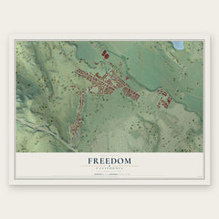
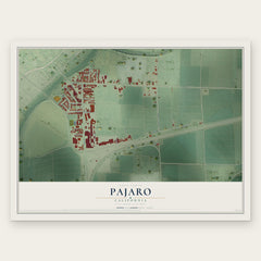

More maps nearby: Interlaken, La Selva Beach, Pajaro Dunes, Corralitos and Las Lomas.
The art of mapping a place
How This Map Was Made
Real places. Remarkable detail. Discover the layers that turn geographic data into a map of home.

The view from above
Aerial imagery reveals the character of the land: woodland, open fields, and the patterns of a place.

The shape of the land
Elevation data brings hills, valleys, and subtle changes in the landscape into view.

The details of home
Roads, waterways, and building footprints come together to make the map feel unmistakably local.

Geography becomes art
Considered color, shading, and typography bring the layers together in a map made for your wall.


Process illustrated with Mendon, Massachusetts. Aerial imagery: USDA NAIP. Terrain: USGS 3D Elevation Program. Map details and finished artwork: KNOWOL.
The Details
About This Print
Choose an archival matte print, or a black or white Ayous wood frame. The archival matte print is unframed.
Select your size and finish above to see the matching product image and price.
Materials & Craftsmanship
A contemporary map with the character of a classic atlas, printed on archival matte paper. Optional frames are made from Ayous wood.
Your printed map does not include the watermark shown in the full-map preview.
Shipping & Delivery
Free shipping within the United States. Every print is made to order in the USA.
Buying a gift? Add a note in your cart and we'll include it. We never put prices in the package.
Prints ship within 2 to 3 business days. Allow 7 to 10 days total from ordering for delivery. Timing may vary during holidays or periods of high order volume.
Read our shipping policy.
Returns and damaged prints
Each print is made to order. Change-of-mind refunds are not available after production.
If your print arrives damaged, misprinted or incorrect, contact support@knowol.com within 30 days of receiving it. Include your order number, photos and a description of the issue.
Read our full refund and replacement policy. For questions about your order, email support@knowol.com.