
Search for another town

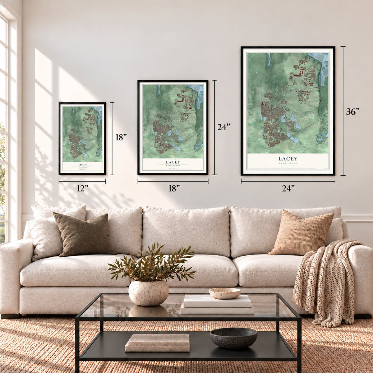

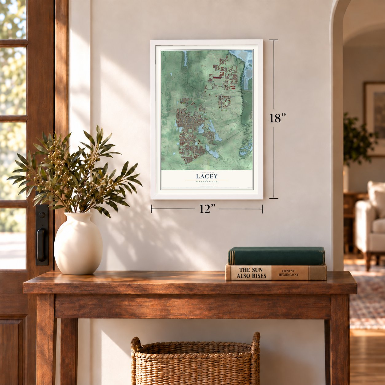
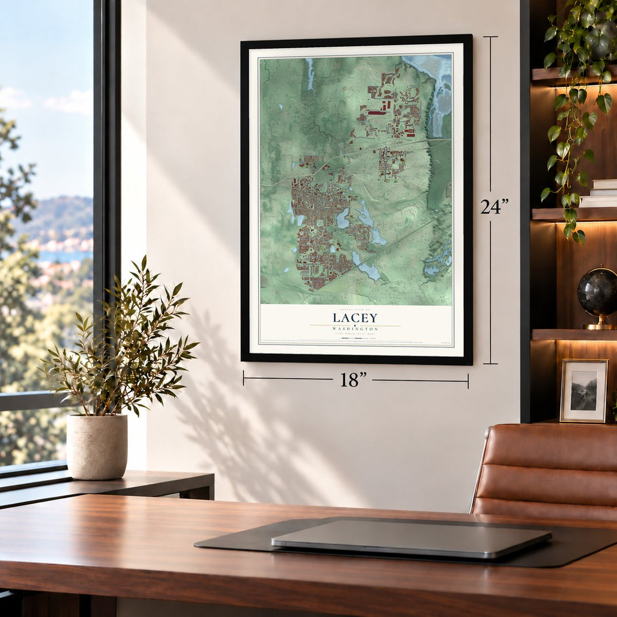
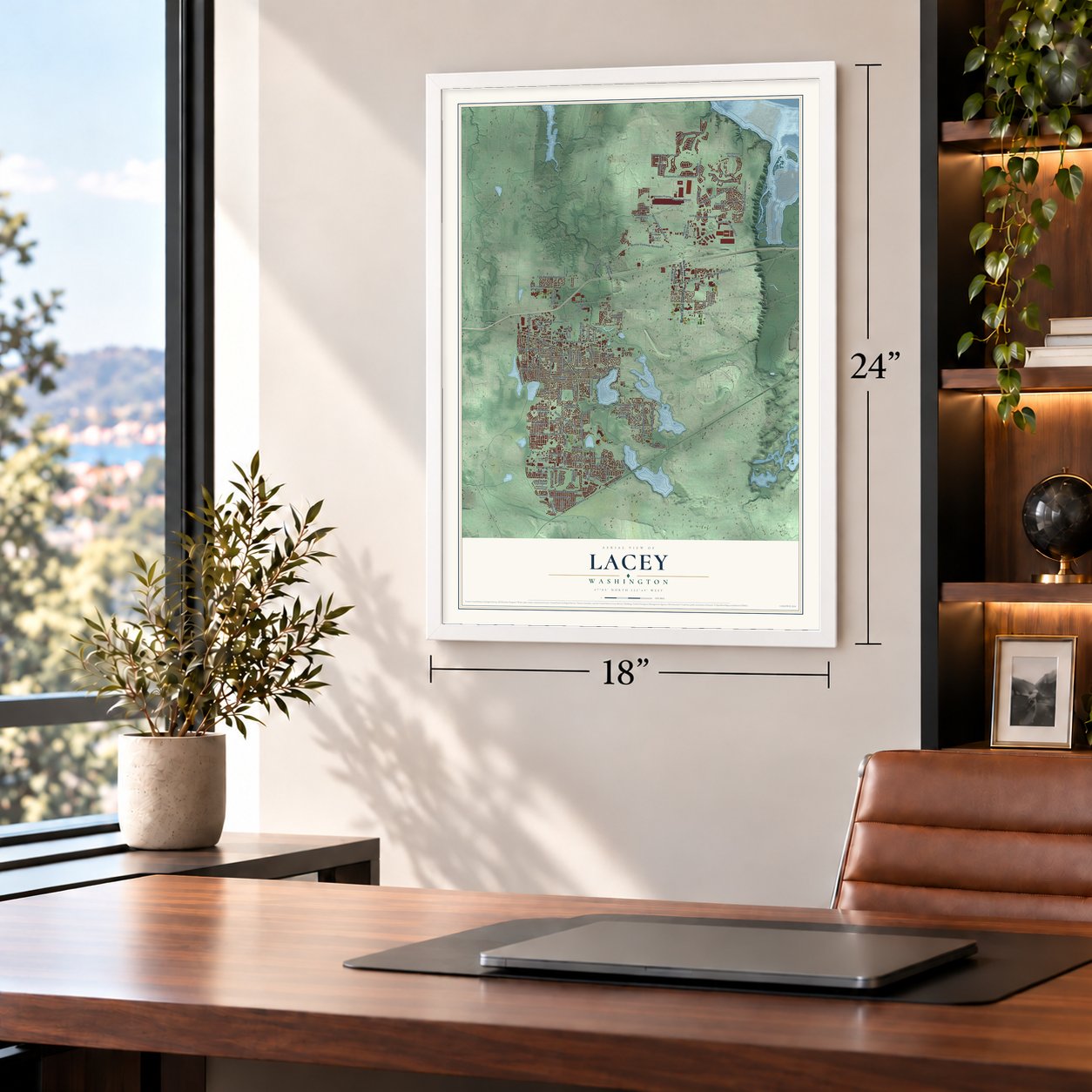


Free U.S. delivery 7 to 10 days after you order
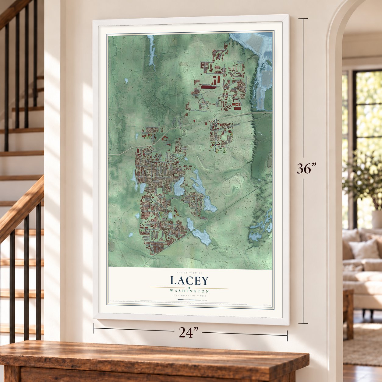
Lacey, Washington Map Art
A new map of Lacey, Washington, made in 2026 and printed to order on thick archival matte paper.
12" x 18" Archival Matte Print
A Map of Home. A Work of Art.
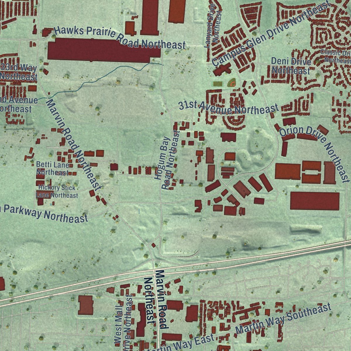
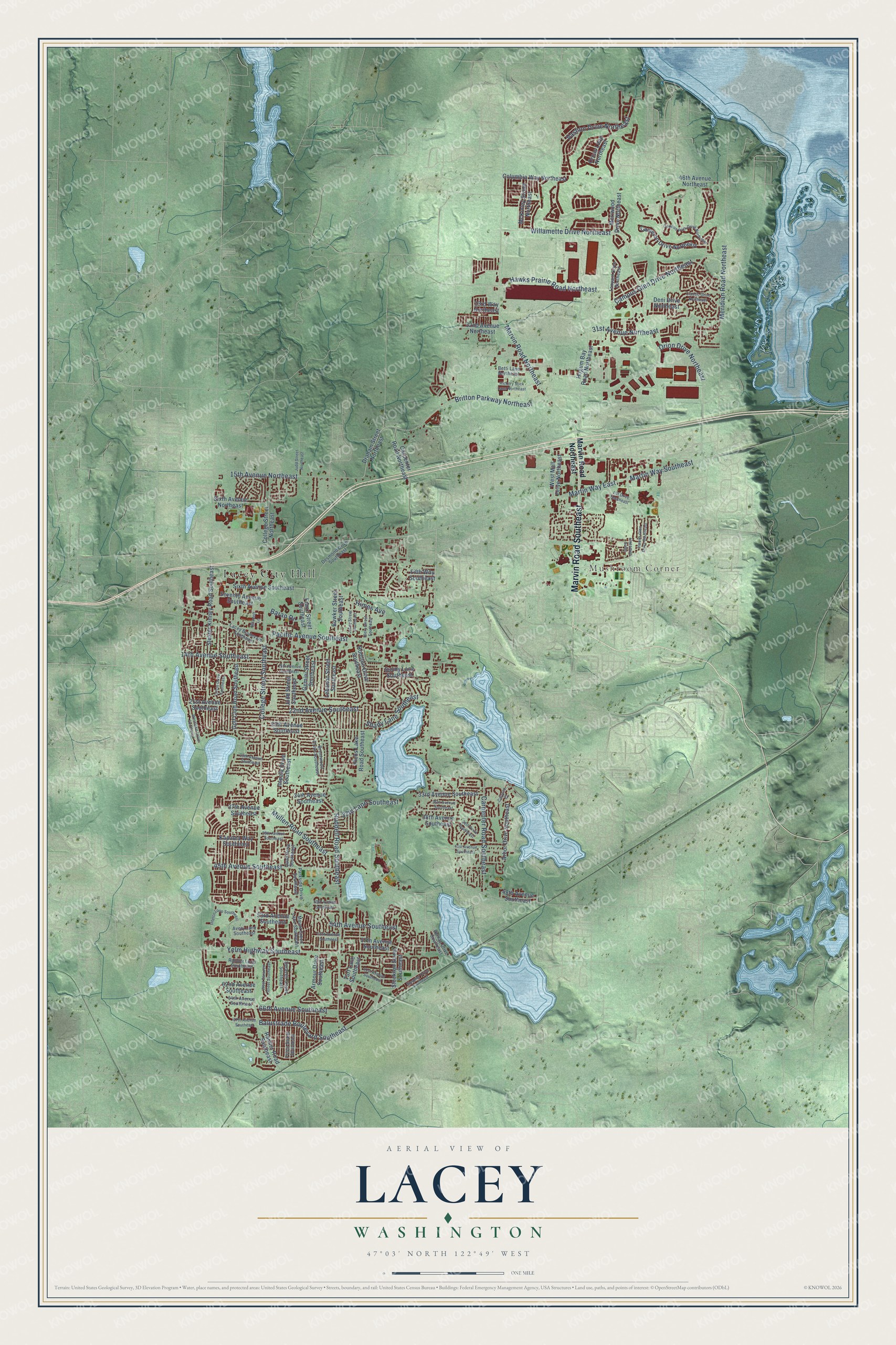
Explore Lacey, Washington from a whole new perspective. Created using aerial imagery and detailed geographic data, this map captures Lacey building by building, with labeled streets, familiar landmarks, and shaded topographical relief that highlights the natural contours of the landscape.
Combining modern data with the timeless character of a vintage atlas, this map is just as interesting up close as it is beautiful on the wall. Whether you grew up in Lacey, spent memorable years there, or call it home today, this unique map is a great way to celebrate a place that means something to you. Zoom in on the preview to look for your street, and then order a print to put your memories on the wall.
Three ways to hang it
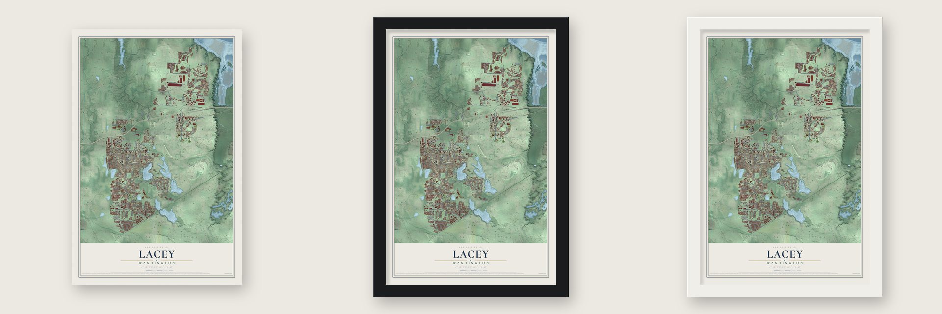
Unframed archival matte, a black wood frame or a white wood frame.
Up close
Geography Worth Displaying
This map was created using accurate cartographic data and authoritative geographic sources, including the U.S. Geological Survey and the Census Bureau. The map brings together terrain, waterways, roads, and building detail. The majority of the streets are labeled, houses are accurately depicted, and the topography is derived from government sources. Combining local data with carefully composed color and shading leads to this beautifully detailed Lacey artwork for your wall.
Rather than simply showing street outlines, we’ve included as many of the street names as we could reasonably fit on the map while keeping their names legible. Zoom in on the high resolution preview to see exactly what’s on the map. We truly set out to create a statement piece for anyone who loves Lacey. So whether it’s for you, or a gift for someone you love, we hope this map of Lacey brings back fond memories.
Read the story behind this map of Lacey, Washington from 2026.

About Lacey, Washington
Lacey is a city of 53,526 people in Thurston County, between Olympia and the Nisqually River. Thomas M. Chambers brought his family and two other families up from Oregon in the fall of 1847, in nine covered wagons, driving 70 head of cattle and 18 horses, and they named the land Chambers Prairie. On January 18, 1852, Isaac and Catherine Wood were granted 320 acres just north of it. They called their land Woodland Prairie, and the settlement that grew up around it became known as Woodland.
In July 1890 John M. Adams, who had bought land from the Woods, sold seven acres to the Northern Pacific Railway for its new line. By April 1891 the tracks and the Woodland depot were done. Residents then asked for a post office, but there was already a Woodland on the Columbia River. So the office opened in 1891 as Lacey, probably named for O. C. Lacey, an Olympia justice of the peace. A horse racetrack opened that same year, Saint Martin's College followed in 1895, and by the 1920s the old name had fallen out of use.
- The first school, 1853The area's first school went up in the summer of 1853 near the Ruddell home, built with help from David J. Chambers, James T. Phillips, Archibald McMillan and Stephen Ruddell. The log cabin was 16 by 20 feet, with five windows, a stick chimney and a cedar-shake roof. George W. Guthrie, its first teacher, taught 6 to 10 students there.
- A school until 1967The school moved to Carpenter Road and Pacific Avenue in 1892 and added a high school in 1901. It closed in 1967, and a Safeway now stands on the site, built with bricks from the old school.
- A cemetery since 1853Eliza Jane Leedom Hicks, the young wife of Urban Hicks, died in November 1853. Her husband's stepfather, Stephen Ruddell, then set aside a small piece of his land so the prairie would have a cemetery. Ruddell had farmed on Chambers Prairie since 1852 and also served as a legislator and a soldier. The Chamber's Prairie-Ruddell Pioneer Cemetery, in southeast Lacey, joined the National Register in 1995.
- Five forts on the prairieMany local settlers fought in the Indian War of 1855-1856, begun as settlers and the territorial government tried to confine Native people on reservations. Five of the region's estimated 47 blockhouses and stockades stood on Chambers Prairie, on land of Andrew J. Chambers, John N. Low, Stephen Ruddell, Nathan Eaton and David Chambers. On March 2, 1856, attackers fired on William Nathan White's family leaving church, killing White; his family escaped by wagon. The war ended in June 1856.
- A city on the second tryA local chamber of commerce began studying incorporation in 1963 to keep Olympia from annexing the area. Voters rejected the first plan on August 11, 1964, by more than 300 votes. A larger plan covering 10.29 square miles and 8,860 residents passed on November 8, 1966, by about 200 votes, and Lacey became a city on December 5, 1966. Olympia answered with a citywide vote on January 24, 1967, which took 2 square miles from the new city.
Find your street
Names on the Lacey map
Every name below is printed on this map. Look for your street, your school, the park where you played, or the pond down the road.
Places and landmarks2
- Lacey City Hall
- Mushroom Corner
Streets and roads114
- Marvin Road Southeast
- 66th Avenue Southeast
- Carpenter Road Southeast
- College Street Southeast
- Ruddell Road Southeast
- Willamette Drive Northeast
- Martin Way East
- Martin Way Southeast
- Marvin Road Northeast
- Mullen Road Southeast
- Pacific Avenue Southeast
- Meridian Road Northeast
- 14th Avenue Southeast
- Yelm Highway Southeast
- Britton Parkway Northeast
- Vashon Drive Northeast
- 31st Avenue Northeast
- 15th Avenue Northeast
- Balustrade Boulevard Southeast
- 22nd Avenue Southeast
- 45th Avenue Southeast
- Hawks Prairie Road Northeast
- 54th Avenue Southeast
- Campus Glen Drive Northeast
- Orion Drive Northeast
- Shady Lane Southeast
- Baran Drive
- 37th Lane Southeast
- Himes Avenue
- 57th Avenue Southeast
Show all 114 streets
- Draham Street Northeast
- Kapalea Way Southeast
- Hogum Bay Road Northeast
- Sleater Kinney Road Southeast
- Carpenter Road Northeast
- Sixth Avenue Southeast
- Golf Club Road Southeast
- Rainier Road Southeast
- 37th Avenue Southeast
- 25th Avenue Southeast
- Seventh Avenue Southeast
- Meriwood Drive Northeast
- Judd Street Southeast
- 21st Avenue Southeast
- Cameron Drive Northeast
- Columbia Way Northeast
- Stockton Street Southeast
- Homann Drive Southeast
- 33rd Avenue Southeast
- Franz Street Southeast
- College Street Northeast
- 34th Avenue Southeast
- Arbor Drive Southeast
- Sixth Avenue Northeast
- Deni Drive Northeast
- Armour Drive Southeast
- Fifth Way Southeast
- Lebanon Street Southeast
- 46th Avenue Northeast
- 32nd Avenue Northeast
- Gemini Street Southeast
- Bowker Street Southeast
- McKinley Street Northeast
- Impala Drive Southeast
- West Mall Drive Northeast
- Hicks Lake Road Southeast
- Sunny Lane Southeast
- Orcas Loop Northeast
- 53rd Avenue Southeast
- 38th Avenue Southeast
- 62nd Avenue Southeast
- 48th Avenue Southeast
- Turf Lane Southeast
- 33rd Way Northeast
- Lacey Boulevard Southeast
- Brentwood Drive Southeast
- Parkside Drive Southeast
- Sarazen Street Southeast
- Desmond Drive Southeast
- Prism Street Southeast
- Lanyard Drive Northeast
- Mount Green Lane Southeast
- Rainier Loop Southeast
- 64th Avenue Southeast
- Betti Lane Northeast
- Rumac Drive Southeast
- Quail Drive Southeast
- Avery Lane Southeast
- 35th Avenue Southeast
- Litt Drive Southeast
- Campus Park Drive Northeast
- 39th Avenue Southeast
- 15th Avenue Southeast
- 41st Avenue Southeast
- Intelco Loop Southeast
- 38th Drive Southeast
- Circle Drive Southeast
- West Sarazen Street Southeast
- Classic Drive Northeast
- 50th Avenue Southeast
- Hickory Stick Lane Northeast
- 61st Avenue Southeast
- 56th Avenue Southeast
- Westlake Drive Southeast
- Steamer Drive Southeast
- Lacey Street Southeast
- Hawks Glen Drive Southeast
- Ulery Street Southeast
- Alhadeff Lane
- 67th Avenue Southeast
- 29th Avenue Southeast
- Judd Street Northeast
- Unnamed Sreet
- Calypso Court
Names are listed as they appear on the printed map. Zoom into the product photos to find them.
The art of mapping a place
How This Map Was Made
Real places. Remarkable detail. Discover the layers that turn geographic data into a map of home.

The view from above
Aerial imagery reveals the character of the land: woodland, open fields, and the patterns of a place.

The shape of the land
Elevation data brings hills, valleys, and subtle changes in the landscape into view.

The details of home
Roads, waterways, and building footprints come together to make the map feel unmistakably local.

Geography becomes art
Considered color, shading, and typography bring the layers together in a map made for your wall.


Process illustrated with Mendon, Massachusetts. Aerial imagery: USDA NAIP. Terrain: USGS 3D Elevation Program. Map details and finished artwork: KNOWOL.
The Details
About This Print
Choose an archival matte print, or a black or white Ayous wood frame. The archival matte print is unframed.
Select your size and finish above to see the matching product image and price.
Materials & Craftsmanship
A contemporary map with the character of a classic atlas, printed on archival matte paper. Optional frames are made from Ayous wood.
Your printed map does not include the watermark shown in the full-map preview.
Shipping & Delivery
Free shipping within the United States. Every print is made to order in the USA.
Buying a gift? Add a note in your cart and we'll include it. We never put prices in the package.
Prints ship within 2 to 3 business days. Allow 7 to 10 days total from ordering for delivery. Timing may vary during holidays or periods of high order volume.
Read our shipping policy.
Returns and damaged prints
Each print is made to order. Change-of-mind refunds are not available after production.
If your print arrives damaged, misprinted or incorrect, contact support@knowol.com within 30 days of receiving it. Include your order number, photos and a description of the issue.
Read our full refund and replacement policy. For questions about your order, email support@knowol.com.
Find your town
Looking for another city?
Find a map of home in our Washington collection, or any town in the country.
Nearby
Maps of towns near Lacey
Know someone from one of these towns? Their map makes a great gift.
 Tanglewilde
, Washington
From $39.99See the map
 Olympia
, Washington
From $39.99See the map
 Nisqually Indian Community
, Washington
From $39.99See the map
More maps nearby: Tumwater, DuPont, Anderson Island, Yelm and North Yelm.