
Search for another town




Free U.S. delivery 7 to 10 days after you order
Olympia, Washington Map Art
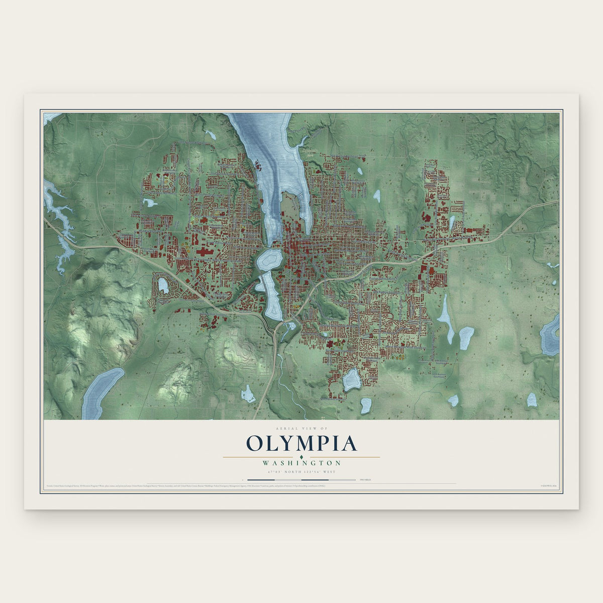
A new map of Olympia, Washington, made in 2026 and printed to order on thick archival matte paper.
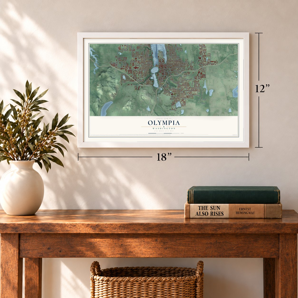
12" x 18" Archival Matte Print
A Map of Home. A Work of Art.
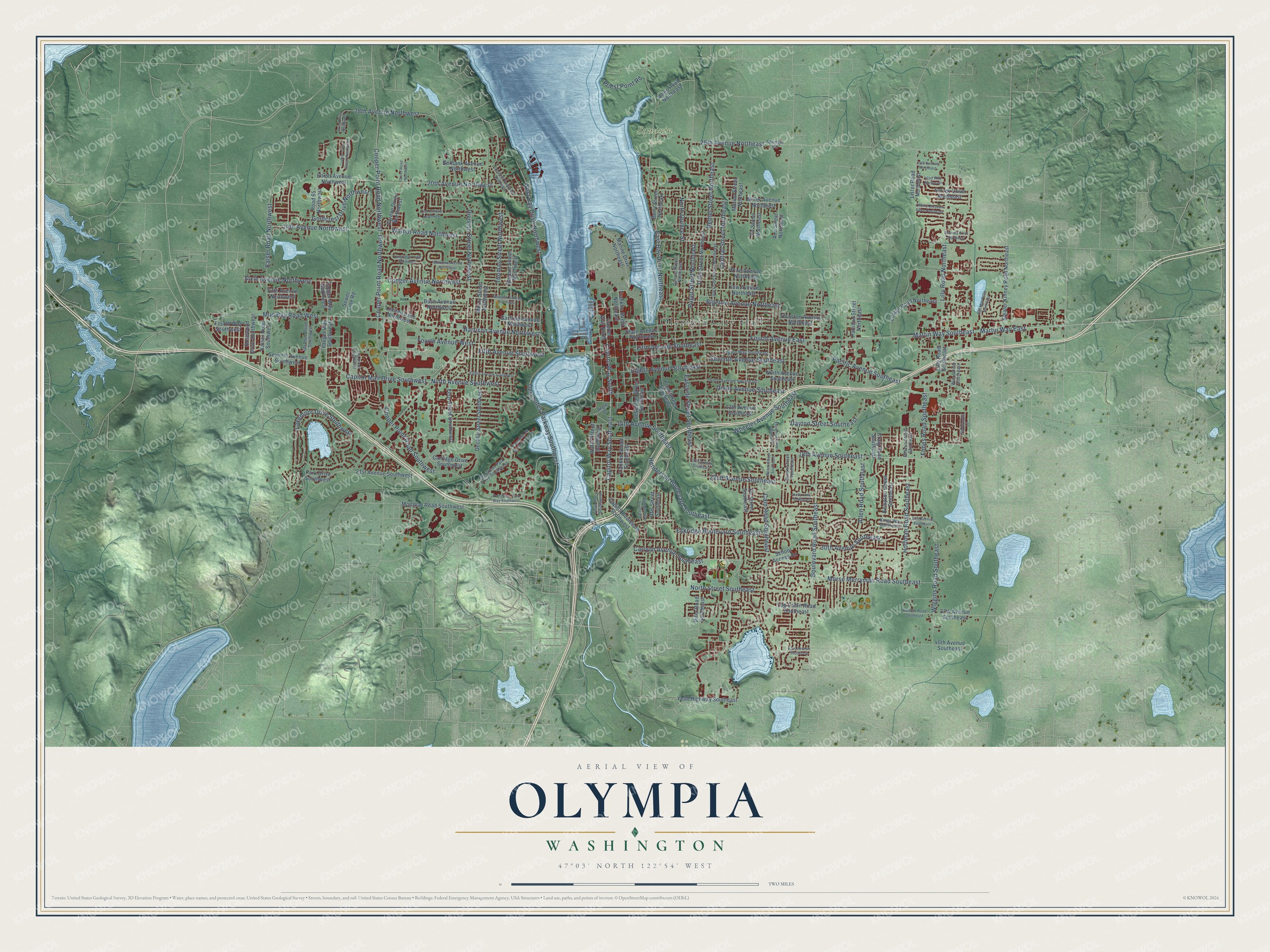
Explore Olympia, Washington from a whole new perspective. Created using aerial imagery and detailed geographic data, this map captures Olympia building by building, with labeled streets, familiar landmarks, and shaded topographical relief that highlights the natural contours of the landscape.
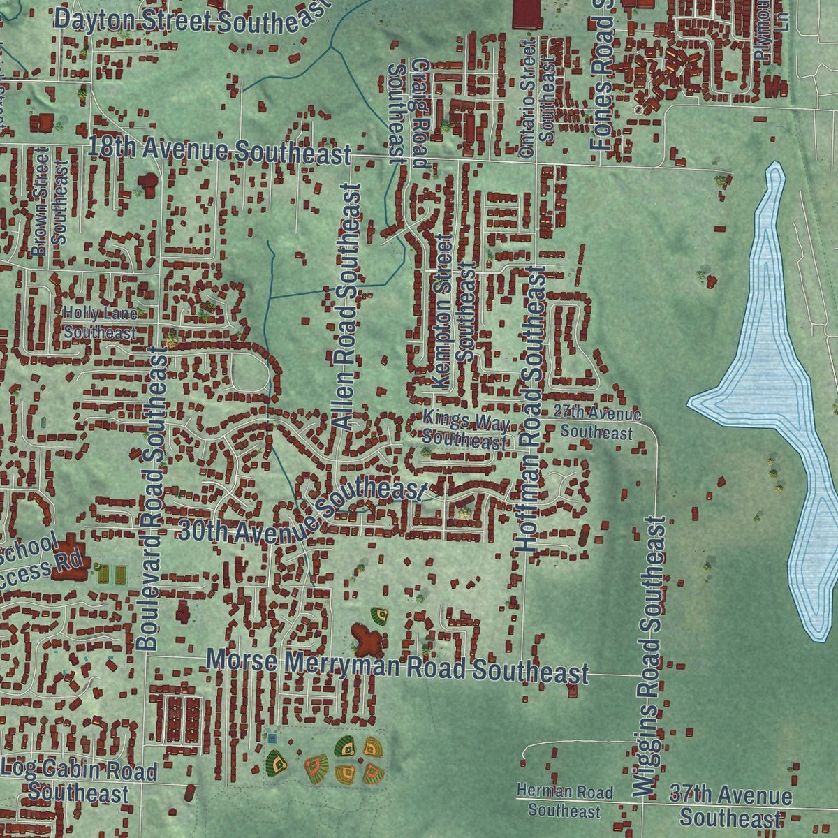
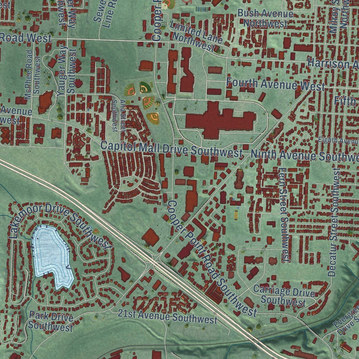
Combining modern data with the timeless character of a vintage atlas, this map is just as interesting up close as it is beautiful on the wall. Whether you grew up in Olympia, spent memorable years there, or call it home today, this unique map is a great way to celebrate a place that means something to you. Zoom in on the preview to look for your street, and then order a print to put your memories on the wall.
Three ways to hang it
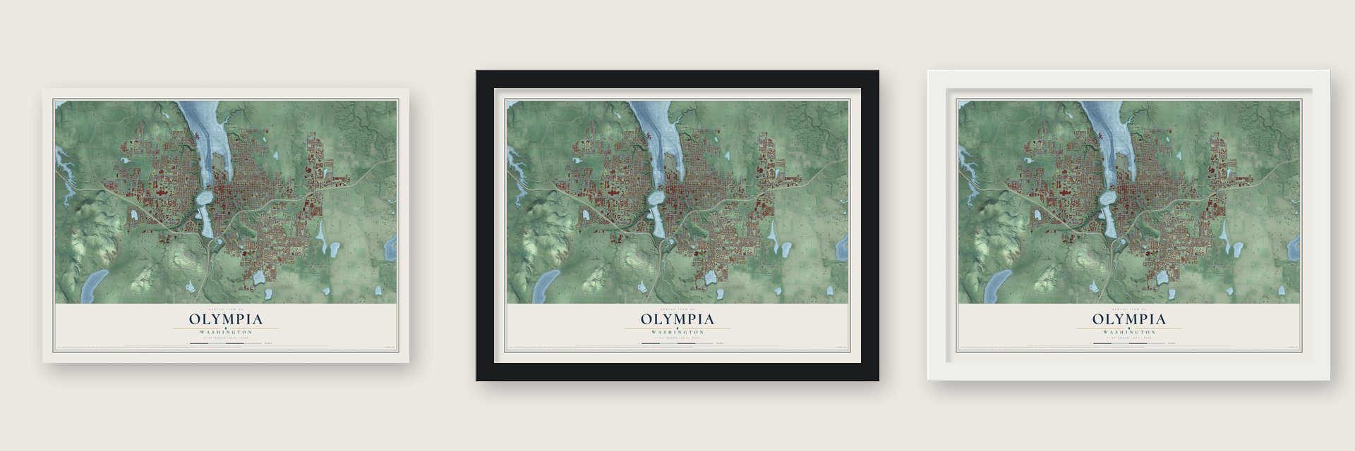
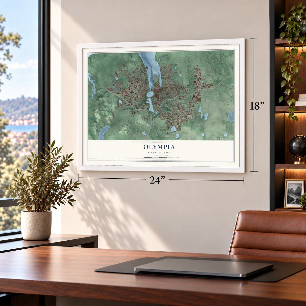
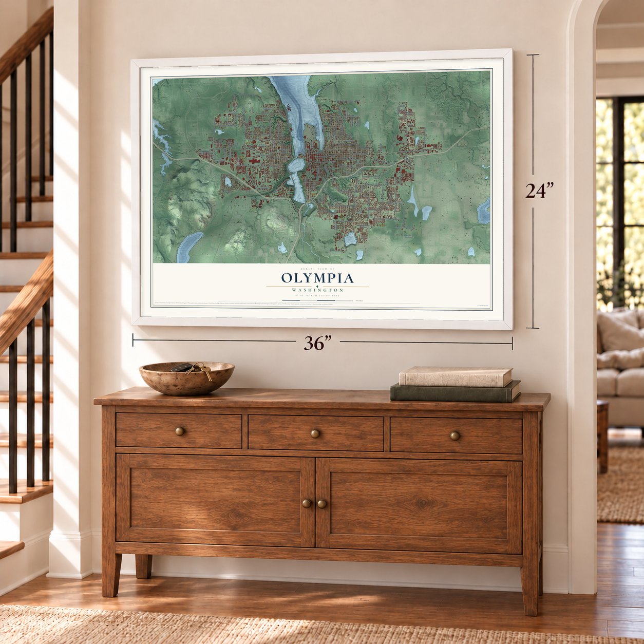
Unframed archival matte, a black wood frame or a white wood frame.
Up close
Geography Worth Displaying
This map was created using accurate cartographic data and authoritative geographic sources, including the U.S. Geological Survey and the Census Bureau. The map brings together terrain, waterways, roads, and building detail. The majority of the streets are labeled, houses are accurately depicted, and the topography is derived from government sources. Combining local data with carefully composed color and shading leads to this beautifully detailed Olympia artwork for your wall.
Rather than simply showing street outlines, we’ve included as many of the street names as we could reasonably fit on the map while keeping their names legible. Zoom in on the high resolution preview to see exactly what’s on the map. We truly set out to create a statement piece for anyone who loves Olympia. So whether it’s for you, or a gift for someone you love, we hope this map of Olympia brings back fond memories.
Read the story behind this map of Olympia, Washington from 2026.

About Olympia, Washington
Olympia is the capital of Washington and the seat of Thurston County, a city of 55,605 people at the head of Budd Inlet on Puget Sound. Native people called the peninsula here Cheet-woot, for bear, and camped on it in winter to gather shellfish. In October 1846 two New Englanders, Levi Lathrop Smith and Edmund Sylvester, claimed the land. Smith built a cabin and named the spot Smithfield. He won a seat in the Oregon Territorial Legislature in 1848 but drowned on his way to the first session, so the claim passed to Sylvester.
Sylvester went to the California gold fields in 1849 and came back with enough gold dust to build a town. At its dedication in the spring of 1850, his friend Isaac Ebey recited verses about the mountains, and Sylvester named the town Olympia for its view of the Olympic Mountains. In November 1853 Governor Isaac Ingalls Stevens reached the town, then home to 100 people, and made it the territorial capital. The first legislature met above Sylvester's Gold Bar Store on February 28, 1854.
- The capital that stayed putPortland business interests pushed bills to move the capital to Vancouver in 1859, 1860 and 1861. The third try passed and was signed, but the printed law left out the wording needed to put it into effect, and the Supreme Court struck it down. For a while lawmakers and judges met in both towns, and Olympia has been the only capital Washington has ever had.
- A railroad of their ownOlympia hoped to be the end of the transcontinental railroad, but in 1873 the Northern Pacific chose Tacoma and laid its tracks 15 miles away. Residents answered by building their own line to Tenino. Every Thursday 300 men worked on it while 75 women cooked for them, and in 1878 the narrow-gauge line linked the capital to the Northern Pacific.
- A wharf 4,798 feet longAt low tide the mud flats left an earlier dock stranded far from the water. In 1885 the city answered with a new wharf that started where Main Street, now Capitol Way, met the shore and ran 4,798 feet out to deep water. It served ships at every tide until 1895, when the Army Corps of Engineers dredged the harbor. Starting in 1910, the Carlyon Fill turned tidelands into almost 30 blocks of today's downtown.
- A courthouse turned capitolThurston County put up a courthouse of Chuckanut sandstone in 1891. The building impressed the state so much that it bought it in 1901 to use as the capitol. Getting it ready took four years, so lawmakers met in the meantime at the Farquhar Store, the town's feed store and armory.
Find your street
Names on the Olympia map
Every name below is printed on this map. Look for your street, your school, the park where you played, or the pond down the road.
Places and landmarks2
- Olympia City Hall
- Squaxin Park
Streets and roads157
- Martin Way East
- Harrison Avenue Northwest
- Fourth Avenue East
- Fourth Avenue West
- Capitol Way South
- 22nd Avenue Southeast
- Capitol Way Southeast
- Hoffman Road Southeast
- Fifth Avenue Southwest
- Dayton Street Southeast
- Henderson Boulevard Southeast
- Boulevard Road Southeast
- Division Street Northwest
- East Bay Drive Northeast
- 18th Avenue Southeast
- Cooper Point Road Southwest
- Pacific Avenue Southeast
- Lilly Road Northeast
- Cooper Point Road Northwest
- 14th Avenue Northwest
- Walnut Road Northwest
- Lakemoor Drive Southwest
- West Bay Drive Northwest
- Fones Road Southeast
- 14th Avenue Southeast
- 20th Avenue Northwest
- Deschutes Parkway Southwest
- Seventh Avenue Southeast
- Mud Bay Road West
- 26th Avenue Northeast
Show all 157 streets
- Martin Way Southeast
- Fifth Avenue Southeast
- Union Avenue Southeast
- Kaiser Road Northwest
- Bethel Street Northeast
- Eighth Avenue Southeast
- Ninth Avenue Southwest
- Conger Avenue Northwest
- Puget Street Northeast
- Thomas Street Northwest
- Central Street Northeast
- Capitol Mall Drive Southwest
- Eastside Street Southeast
- Cain Road Southeast
- Wiggins Road Southeast
- Morse Merryman Road Southeast
- Bigelow Avenue Northeast
- Wheeler Avenue Southeast
- Carlyon Avenue Southeast
- Goldcrest Drive Northwest
- 30th Avenue Southeast
- Eskridge Boulevard Southeast
- 28th Avenue Northwest
- Sixth Avenue Northwest
- North Street Southeast
- Allen Road Southeast
- North Quince Street
- Priest Point Road
- Yauger Way Southwest
- Capitol Boulevard Southwest
- Yauger Way Northwest
- Capitol Way North
- Water Street Southwest
- State Avenue Northeast
- Elliott Avenue Northwest
- Fir Street Southeast
- Thurston Avenue Northeast
- Marine Drive Northeast
- Rogers Street Northwest
- Ninth Avenue Southeast
- Tullis Street Northeast
- Jefferson Street Southeast
- 37th Avenue Southeast
- Decatur Street Southwest
- Mottman Road Southwest
- Yew Avenue Northeast
- Ensign Road Northeast
- Milroy Street Northwest
- Franklin Street Southeast
- Marion Street Northeast
- Fir Street Northeast
- Miller Avenue Northeast
- Pine Avenue Northeast
- Sleater Kinney Road Northeast
- Seventh Avenue Southwest
- 13th Avenue Southeast
- Plum Street Southeast
- 21st Avenue Southwest
- Craig Road Southeast
- Garfield Avenue Northwest
- Log Cabin Road Southeast
- Yelm Highway Southeast
- Kempton Street Southeast
- Fern Street Southwest
- 40th Avenue Southeast
- Kaiser Road Southwest
- Park Drive Southwest
- Burbank Avenue Northwest
- Fifth Avenue Northwest
- Franklin Street Northeast
- Limited Lane Northwest
- Carriage Drive Southwest
- Lister Road Northeast
- Road 65 Northwest
- Pifer Road Southeast
- Otis Street Southeast
- Lilly Road Southeast
- Surrey Drive Northeast
- Bush Avenue Northwest
- Rosewood Drive Southwest
- Pattison Street Northeast
- Fourth Way Southwest
- Cyrene Drive Northwest
- Ames Road Northeast
- Ann Street Northeast
- Sewer Line Road
- School Access Road
- Berry Street Northeast
- Evergreen Park Drive Southwest
- Legion Way Southeast
- Quince Street Northeast
- Tenth Avenue Southeast
- Garrison Street Northeast
- Springer Road
- McPhee Road Southwest
- Brown Street Southeast
- Ontario Street Southeast
- Kings Way Southeast
- View Place Southwest
- Wier Street Southeast
- Plymouth Lane
- Angle Drive
- Wilson Street Southeast
- Frederick Street Southeast
- Herman Road Southeast
- Bowman Avenue Northwest
- Crestline Boulevard Northwest
- Langridge Loop Northwest
- Madison Avenue Northwest
- San Mar Drive Northeast
- Eighth Avenue Southwest
- Evergreen Park Way Southwest
- 20th Avenue Southeast
- Cooper Crest Street Northwest
- Evergreen Pk Court Southwest
- 42nd Avenue Southeast
- 27th Avenue Southeast
- Cherry Blossom Drive Northeast
- Alta Street Southwest
- 22nd Way Northeast
- Entrada Drive Northeast
- Hillside Drive Southeast
- Aztec Drive Northwest
- 24th Avenue Northeast
- Holly Lane Southeast
- Grove Road Northwest
- 17th Avenue Northwest
Names are listed as they appear on the printed map. Zoom into the product photos to find them.
The art of mapping a place
How This Map Was Made
Real places. Remarkable detail. Discover the layers that turn geographic data into a map of home.

The view from above
Aerial imagery reveals the character of the land: woodland, open fields, and the patterns of a place.

The shape of the land
Elevation data brings hills, valleys, and subtle changes in the landscape into view.

The details of home
Roads, waterways, and building footprints come together to make the map feel unmistakably local.

Geography becomes art
Considered color, shading, and typography bring the layers together in a map made for your wall.


Process illustrated with Mendon, Massachusetts. Aerial imagery: USDA NAIP. Terrain: USGS 3D Elevation Program. Map details and finished artwork: KNOWOL.
The Details
About This Print
Choose an archival matte print, or a black or white Ayous wood frame. The archival matte print is unframed.
Select your size and finish above to see the matching product image and price.
Materials & Craftsmanship
A contemporary map with the character of a classic atlas, printed on archival matte paper. Optional frames are made from Ayous wood.
Your printed map does not include the watermark shown in the full-map preview.
Shipping & Delivery
Free shipping within the United States. Every print is made to order in the USA.
Buying a gift? Add a note in your cart and we'll include it. We never put prices in the package.
Prints ship within 2 to 3 business days. Allow 7 to 10 days total from ordering for delivery. Timing may vary during holidays or periods of high order volume.
Read our shipping policy.
Returns and damaged prints
Each print is made to order. Change-of-mind refunds are not available after production.
If your print arrives damaged, misprinted or incorrect, contact support@knowol.com within 30 days of receiving it. Include your order number, photos and a description of the issue.
Read our full refund and replacement policy. For questions about your order, email support@knowol.com.
Find your town
Looking for another city?
Find a map of home in our Washington collection, or any town in the country.
Nearby
Maps of towns near Olympia
Know someone from one of these towns? Their map makes a great gift.
 Tumwater
, Washington
From $39.99See the map
 Lacey
Lacey, Washington
From $39.99See the map
 Tanglewilde
, Washington
From $39.99See the map
More maps nearby: Nisqually Indian Community, DuPont, Anderson Island, Tenino and Yelm.