
Search for another town
Free U.S. delivery 7 to 10 days after you order
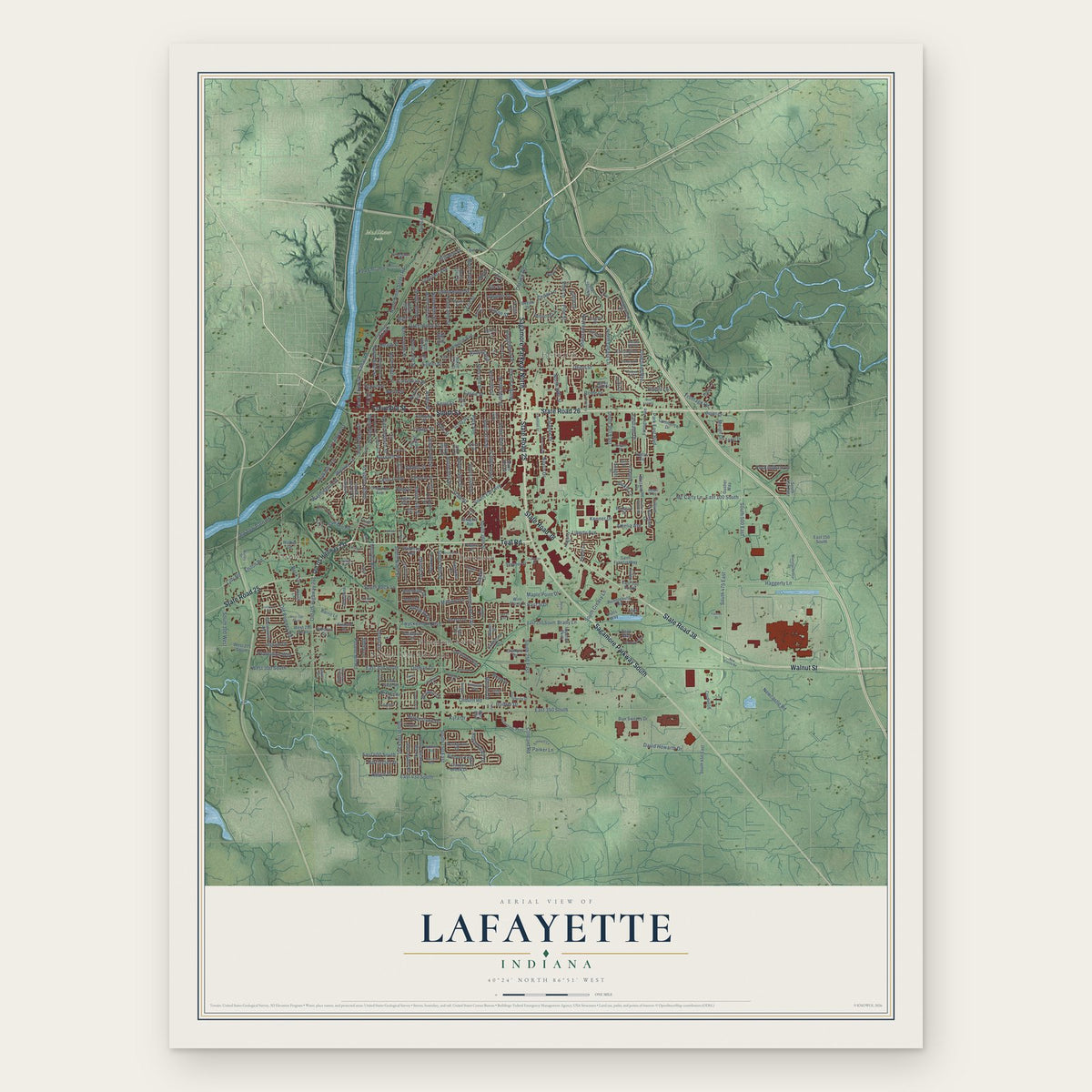
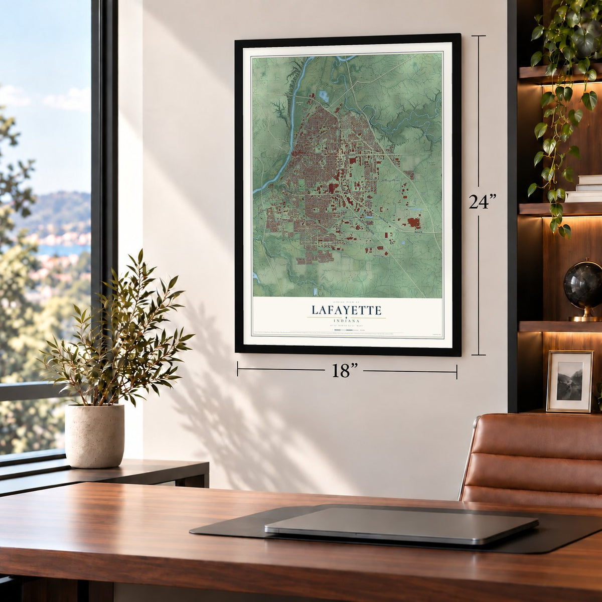
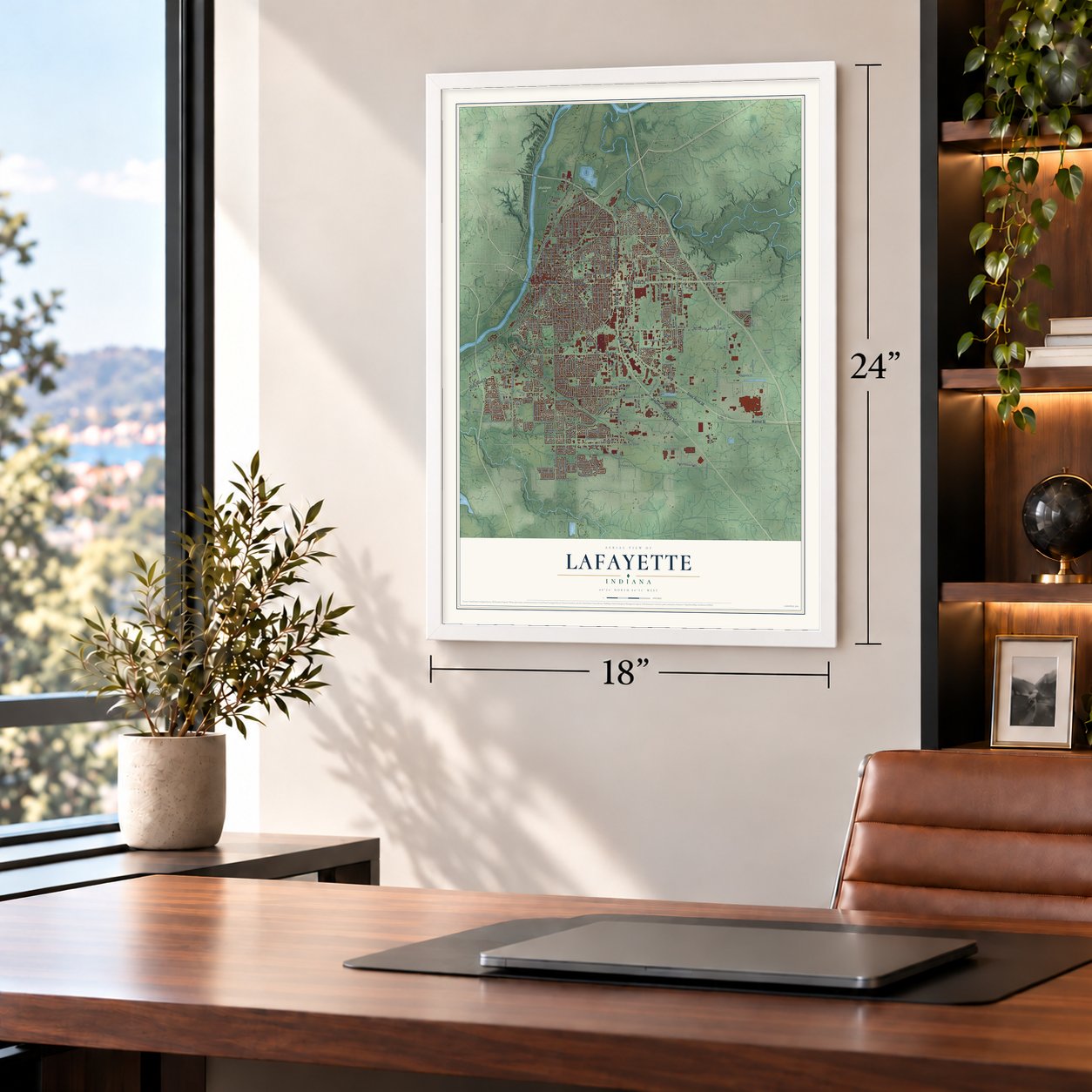
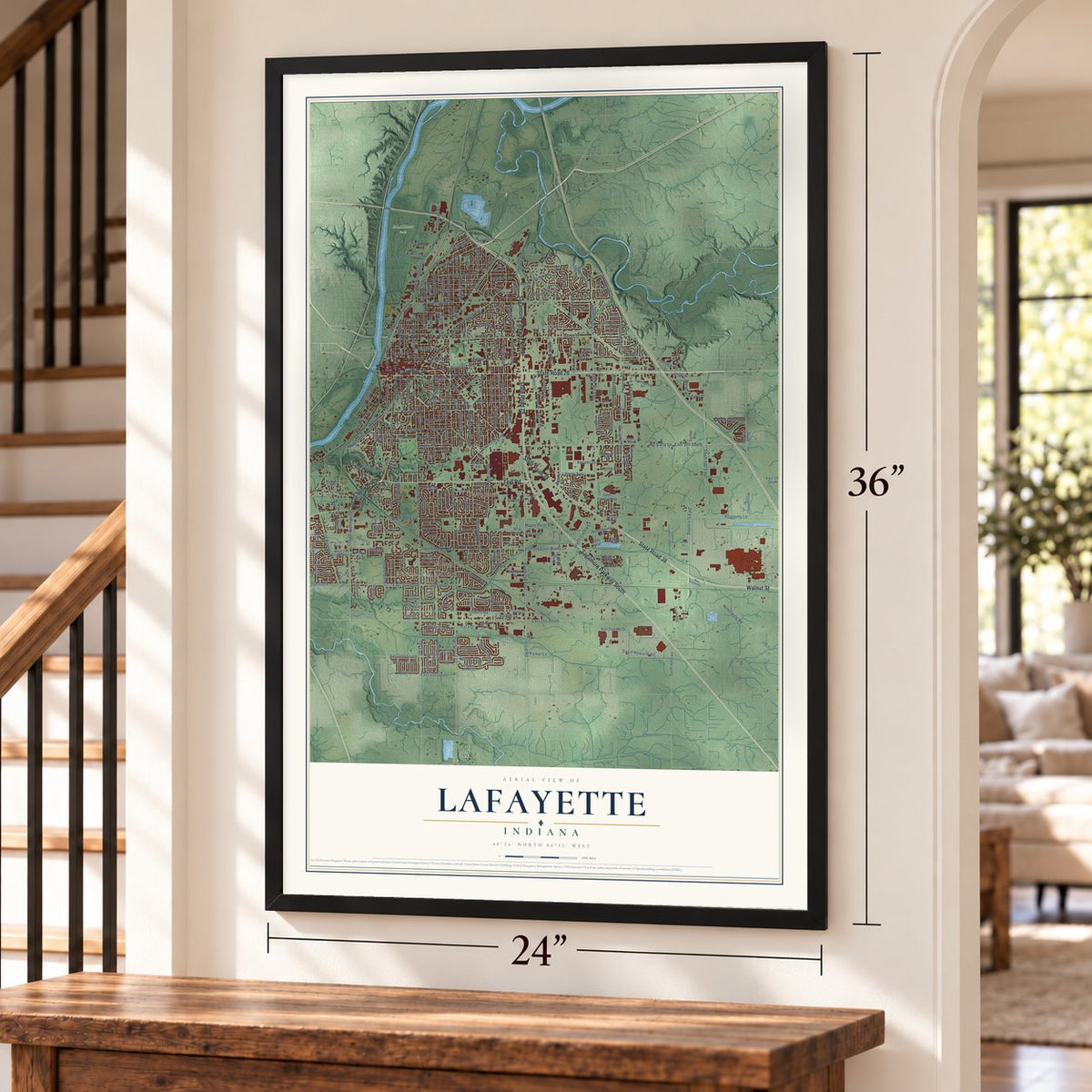
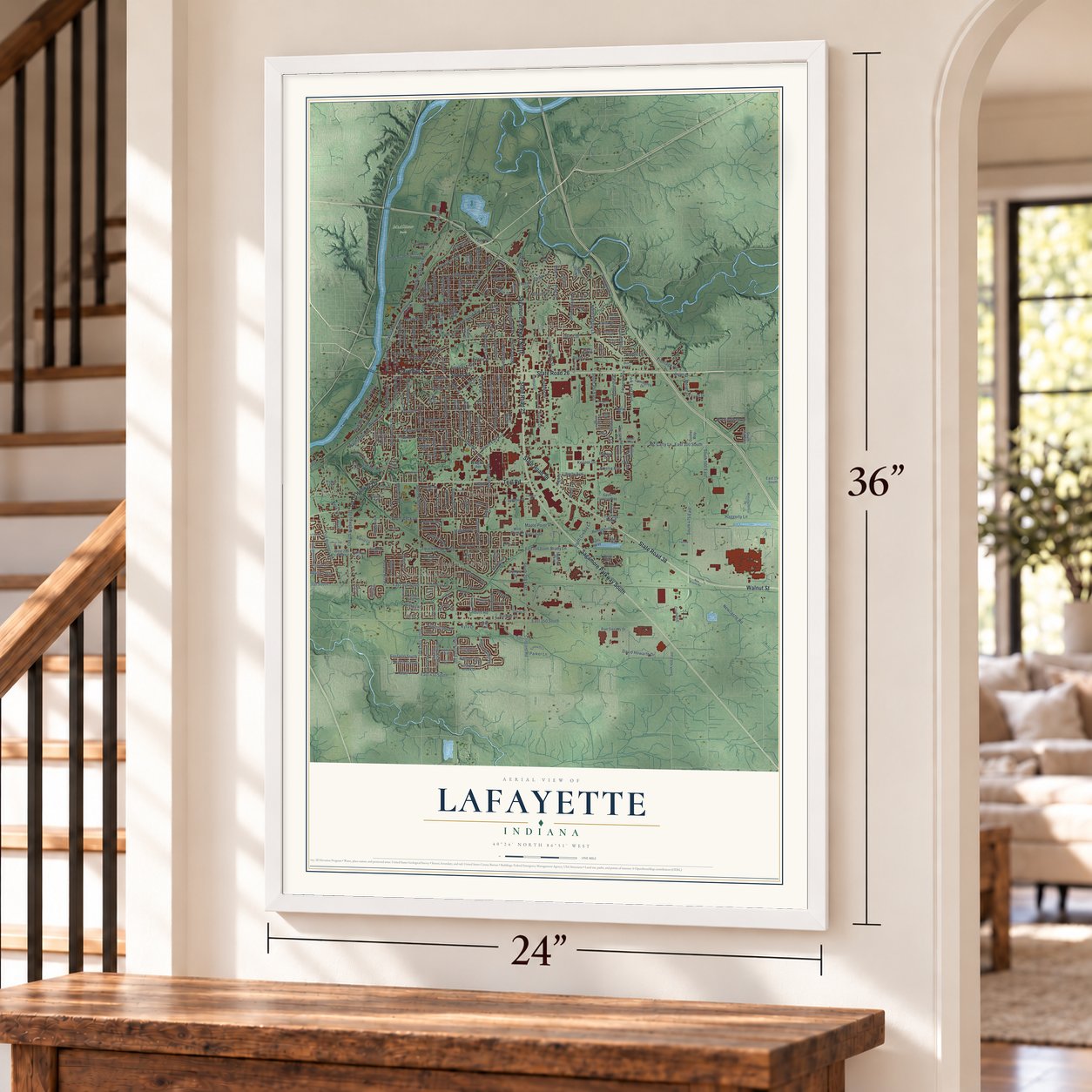
Lafayette, Indiana Map Art
Building by building, with labeled streets and shaded relief.
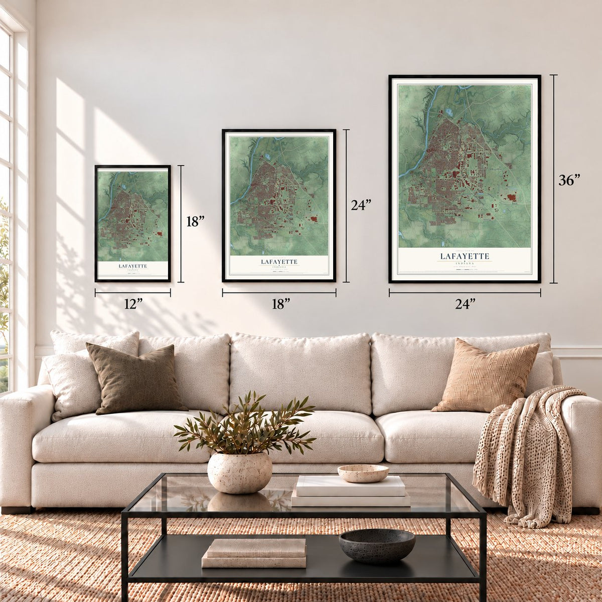
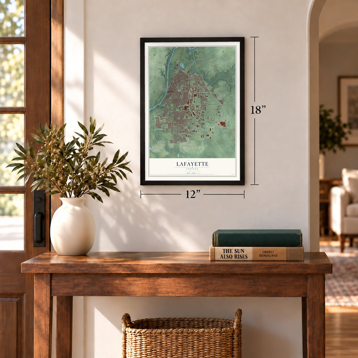
12" x 18" Archival Matte Print
A Map of Home. A Work of Art.
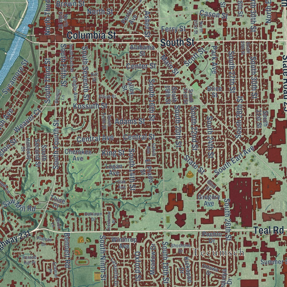
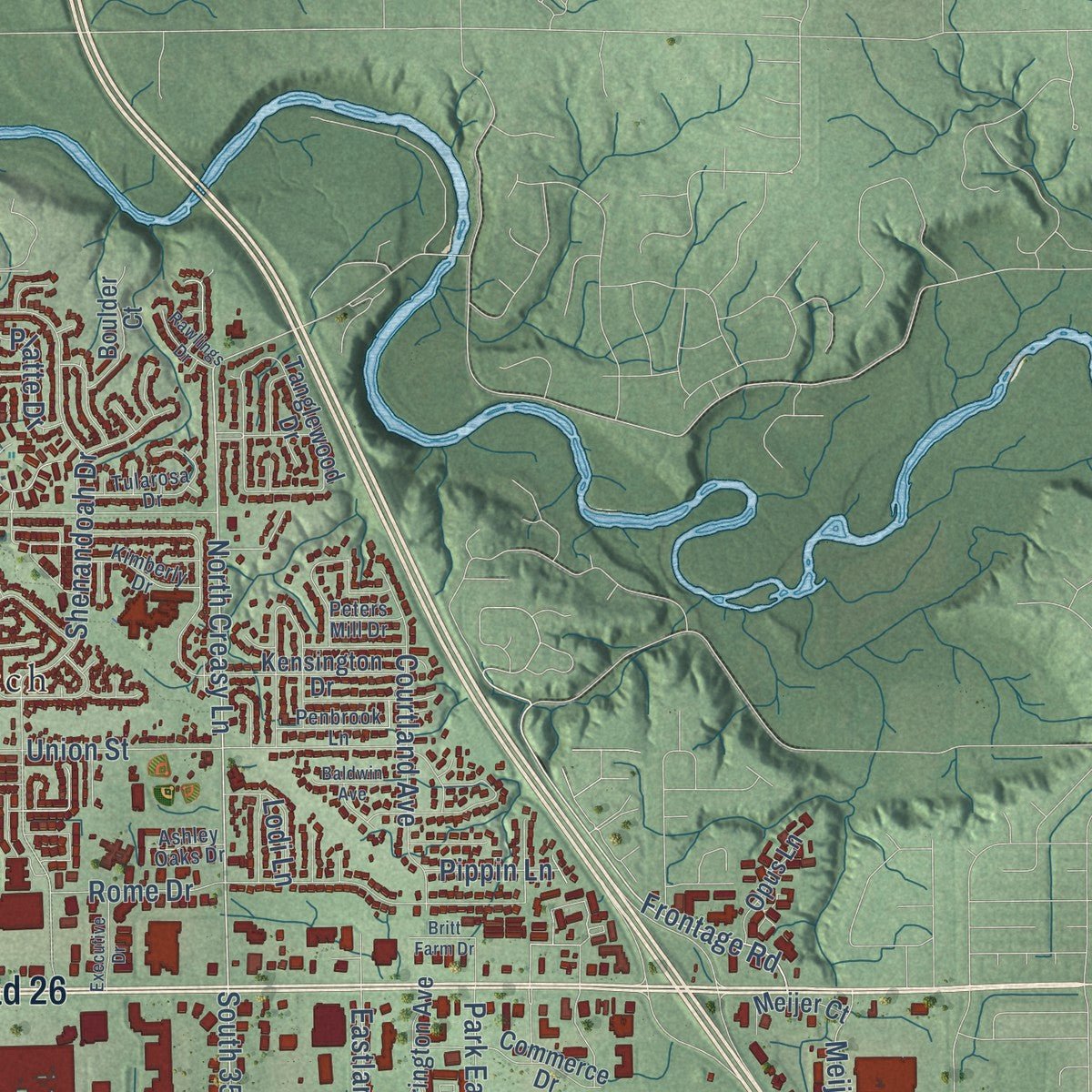
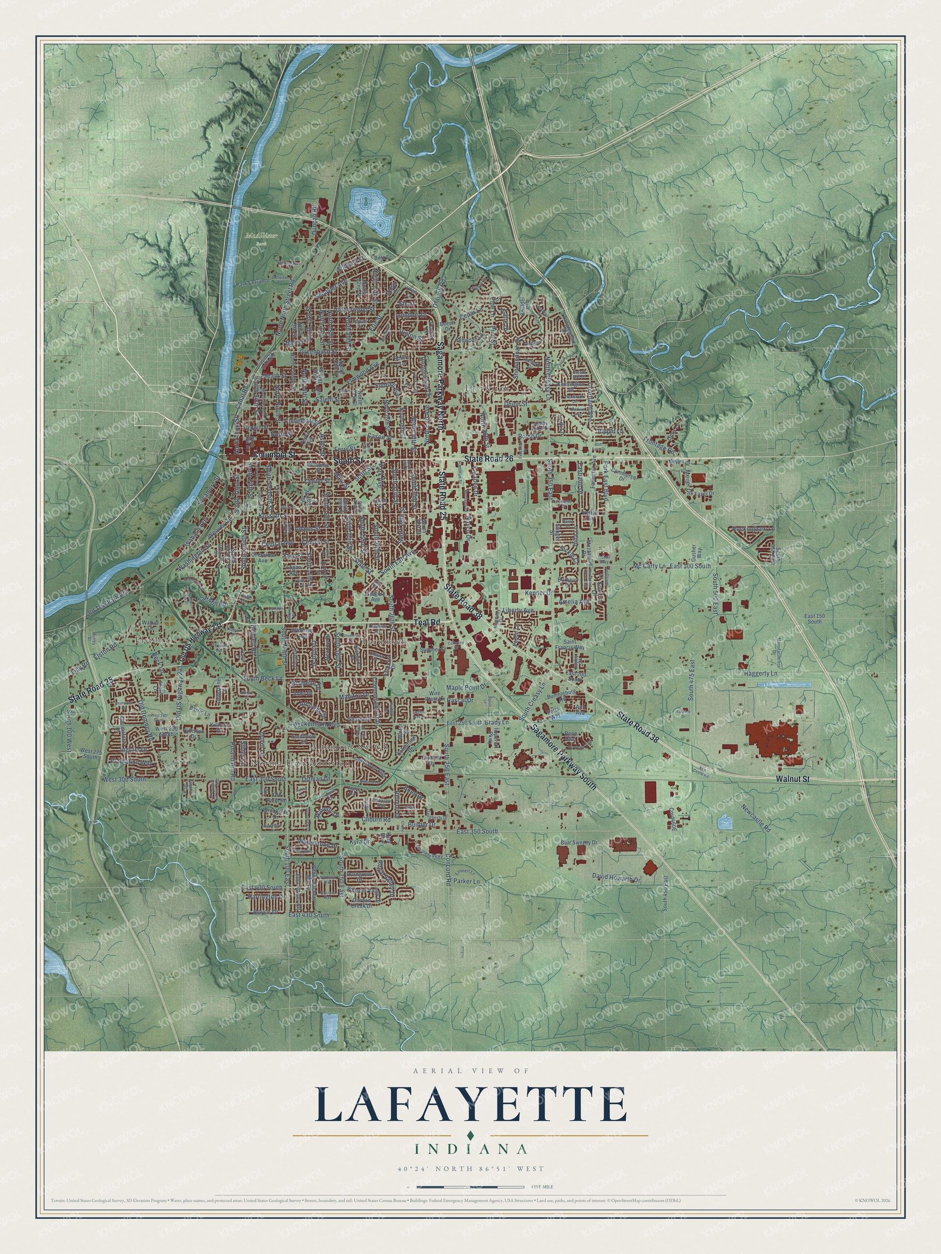
Explore Lafayette, Indiana from a whole new perspective. Created using aerial imagery and detailed geographic data, this map captures Lafayette building by building, with labeled streets, familiar landmarks, and shaded topographical relief that highlights the natural contours of the landscape.
Combining modern data with the timeless character of a vintage atlas, this map is just as interesting up close as it is beautiful on the wall. Whether you grew up in Lafayette, spent memorable years there, or call it home today, this unique map is a great way to celebrate a place that means something to you. Zoom in on the preview to look for your street, and then order a print to put your memories on the wall.
Three ways to hang it
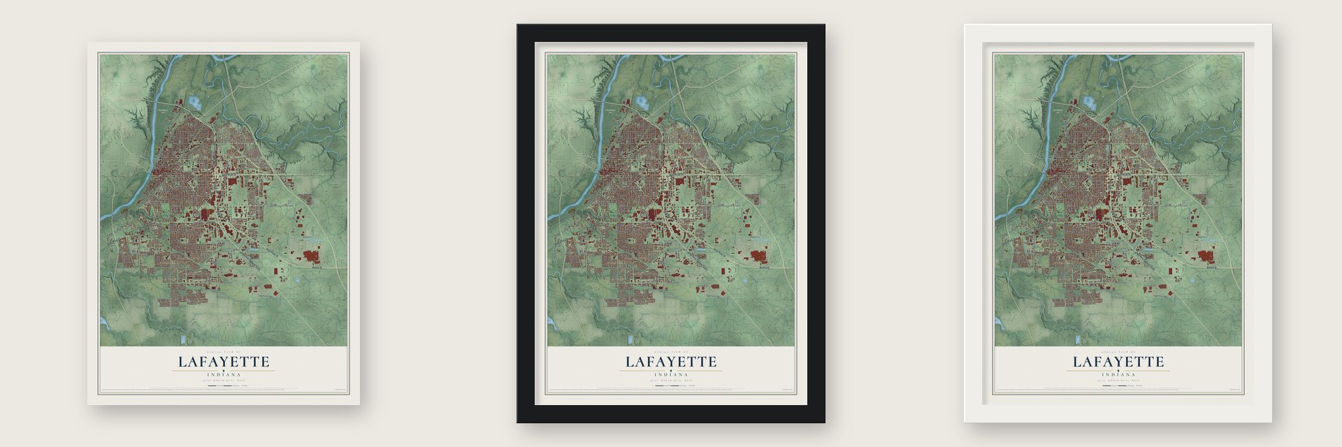
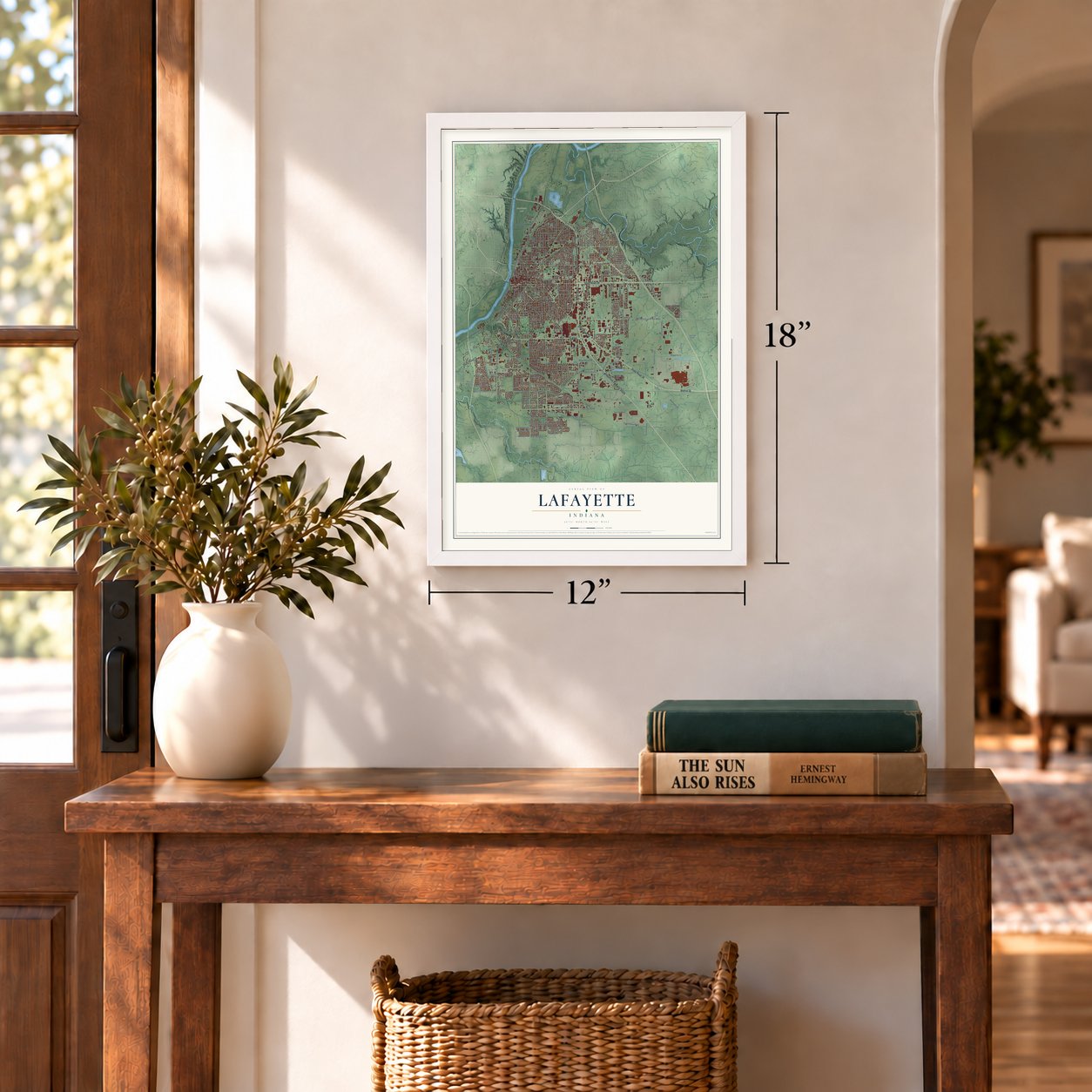
Unframed archival matte, a black wood frame or a white wood frame.
Up close
Geography Worth Displaying
This map was created using accurate cartographic data and authoritative geographic sources, including the U.S. Geological Survey and the Census Bureau. The map brings together terrain, waterways, roads, and building detail. The majority of the streets are labeled, houses are accurately depicted, and the topography is derived from government sources. Combining local data with carefully composed color and shading leads to this beautifully detailed Lafayette artwork for your wall.
Rather than simply showing street outlines, we’ve included as many of the street names as we could reasonably fit on the map while keeping their names legible. Zoom in on the high resolution preview to see exactly what’s on the map. We truly set out to create a statement piece for anyone who loves Lafayette. So whether it’s for you, or a gift for someone you love, we hope this map of Lafayette brings back fond memories.
Read the story behind this map of Lafayette, Indiana from 2026.
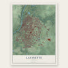
Find your street
Names on the Lafayette map
Every name below is printed on this map. Look for your street, your school, the park where you played, or the pond down the road.
Places and landmarks6
- McAllister Park
- Altamont Switch
- Eastwitch
- Elston
- Norma Jean Addition
- Tecumseh
Streets and roads325
- State Road 25
- State Road 26
- Teal Road
- State Road 38
- Columbia Street
- Sagamore Parkway North
- Walnut Street
- Sagamore Parkway South
- South Street
- Old US Highway 231
- South Fourth Street
- South Third Street
- Washington Street
- North Third Street
- Main Street
- North Creasy Lane
- Frontage Road
- South Creasy Lane
- North 18th Street
- Schuyler Avenue
- Brady Lane
- East 350 South
- Oxford Street
- Pine Lane
- Twyckenham Boulevard
- Weaver Court
- South 18th Street
- South Ninth Street
- Union Street
- Mc Carty Lane
Show all 325 streets
- Haggerty Lane
- Greenbush Street
- Concord Road
- South 500 East
- Kossuth Street
- Poland Hill Road
- South 350 East
- South 250 East
- Wabash Avenue
- Ferry Street
- South 26th Street
- Central Street
- Old Romney Road
- Beck Lane
- North Ninth Street Road
- South Beck Lane
- Erie Street
- South Earl Avenue
- North Ninth Street
- Shenandoah Drive
- East 100 South
- Central Avenue
- Park East Boulevard
- Underwood Street
- South 150 East
- Elmwood Avenue
- South 100 East
- South 475 East
- Salem Street
- Elston Road
- South 30th Street
- North 20th Street
- David Howarth Drive
- Cason Street
- State Street
- South 14th Street
- Rome Drive
- Vinton Street
- East 300 South
- South 28th Street
- Ortman Lane
- North 17th Street
- Longlois Drive
- Old Tow Path Road
- South Fifth Street
- Cincinnati Street
- Canal Road
- North 15th Street
- Maple Point Drive
- Brown Street
- Regal Valley Drive
- Commanche Trail
- North Sixth Street
- South 22nd Street
- South 16th Street
- King Street
- Courtland Avenue
- North 14th Street
- South 27th Street
- West 300 South
- Cedar Lane
- Rochelle Drive
- South 24th Street
- Dover Lane
- South 100 West
- South 20th Street
- North Street
- Saw Mill Road
- South Seventh Street
- Adams Street
- Meijer Drive
- Lilly Road
- Sycamore Street
- Hedgewood Drive
- North 24th Street
- Elk Street
- Park Avenue
- North 36th Street
- Kepner Drive
- Waterstone Drive
- Bennett Road
- Navco Drive
- North Earl Avenue
- North 30th Street
- East 430 South
- Farabee Drive
- Eastland Drive
- Sunrise Avenue
- Cliburn Road
- Plantation Way
- Newcastle Road
- Waverly Drive
- East 400 South
- Builder Drive
- Duncan Road
- Amelia Avenue
- Rockingham Lane
- Ingram Drive
- Heath Street
- Harrington Drive
- Center Street
- Scott Street
- Kyra Drive
- Julia Lane
- Archway Drive
- Parker Lane
- Platte Drive
- Liberty Avenue
- Manitou Drive
- Runyon Drive
- Sibley Lane
- Royce Drive
- Stillwell Street
- Asher Street
- Ofarrell Road
- Lodi Lane
- Pippin Lane
- Sickle Court
- Bond Drive
- Rascal Drive
- Ball Street
- Pine Street
- South Second Street
- Winthrop Avenue
- North 19th Street
- North 13th Street
- North 21st Street
- North 22nd Street
- North Twelfth Street
- North 26th Street
- North 16th Street
- Tanglewood Drive
- Kensington Drive
- South 31st Street
- East 250 South
- Canyon Creek Drive
- Alabama Street
- North 28th Street
- Bumbleburg Road
- Rushgrove Drive
- South 19th Street
- Kettle Circle
- South 550 East
- Meadow Drive
- Southaven Boulevard
- Sequoya Drive
- Logan Avenue
- Brice Street
- Whisper Valley Drive
- Prairie Lane
- Mezzanine Drive
- Ulen Lane
- Hibiscus Drive
- Penny Packers Mill Road
- Plaza Lane
- Redwood Lane
- Commerce Drive
- Valley Street
- Perrin Avenue
- South 450 East
- John Adams Road
- Shasta Drive
- Sourgum Lane
- Burr Swezey Drive
- Brookside Drive
- Saint Francis Way
- Farington Avenue
- Park Entrance
- El Prado Street
- Wire Plant Lane
- East 200 South
- Chelmsford Drive
- West 275 South
- Limestone Lane
- Coldbrook Drive
- Boulder Court
- Cherokee Avenue
- Midlex Court
- West 250 South
- Olympia Drive
- Opus Lane
- Alder Drive
- Old Farm Road
- Meijer Court
- Gregory Avenue
- Kickapoo Drive
- Summer Street
- Southport Drive
- Burberry Drive
- East 150 South
- Cord460E
- Imperial Parkway
- Pueblo Drive
- Tazer Drive
- Barrio Lane
- Trillium Lane
- Poplar Lane
- Kinkaid Drive
- Stinger Street
- Biltz Drive
- Walker Lane
- Winter Street
- Gusher Way
- Rene Boulevard
- Bonny Lane
- Ann Avenue
- Thise Court
- Potts Way
- Beech Drive
- Kyra Boulevard
- Greenbush Extended
- Holloway Street
- Starks Circle
- North Seventh Street
- South 21st Street
- North Fifth Street
- Perrine Street
- Promenade Parkway
- Lafayette Drive
- Daugherty Drive
- Mill Pond Lane
- Manufacturers Drive
- Bayley Drive
- Kimberly Drive
- Lingle Avenue
- Hamman Street
- Tularosa Drive
- Penbrook Lane
- Thomas Drive
- Ottawa Drive
- Emmett Lane
- Thornhill Circle East
- Morland Drive
- Widewater Drive
- Retail Way
- Kingsway Drive
- Fortune Drive
- Daisy Drive
- Fincastle Way
- Wolfson Way
- Dillon Drive
- Ashley Oaks Drive
- Peters Mill Drive
- Stoney Drive
- 16th Street
- Hurley Street
- Echo Street
- Duroc Court
- New Castle Road
- Eckman Place
- South Tenth Street
- South 29th Street
- North 23rd Street
- Bordeaux Boulevard
- West 240 South
- Eagles Way Drive
- Braddock Drive
- Stoneripple Circle
- Crestview Place
- Pipers Glen Drive
- South Sixth Street
- Hornbeam Circle East
- Windy Hill Drive
- Melbourne Road
- Catula Avenue
- Berkley Road
- Shoshone Drive
- Winterset Drive
- Brunswick Drive
- Sunnyview Drive
- Oaklawn Drive
- Brooklawn Drive
- Executive Drive
- Baldwin Avenue
- Golfview Road
- Glick Street
- Jo Allen Lane
- Calloway Drive
- Norcross Way
- Wigeon Drive
- Rawlings Drive
- Pokagon Drive
- Elliott Street
- Britt Farm Drive
- Venturi Lane
- Fastline Drive
- Plateau Drive
- Oak Avenue
- Birch Lane
- Poland Hill Place
- Surrey Lane
- Cheryl Lane
- Squall Lane
- Hitt Street
- Lazy Court
Names are listed as they appear on the printed map. Zoom into the product photos to find them.
About Lafayette, Indiana
Lafayette is a city of 70,783 people and the county seat of Tippecanoe County, on the east bank of the Wabash River. Long before the town, the Wea, a band of the Miami, traded furs at Fort Ouiatenon, which the French built in 1717 across the river and three miles downstream. A reenactment called the Feast of the Hunters' Moon is held at the fort site every fall.
Lafayette was founded in 1825 by William Digby, a trader who had bought the land from the government at the Crawfordsville land office. Robert Johnson, a Crawfordsville hotel keeper, ran the survey lines on May 25 through hazel brush, plum bushes, grapevines and big trees. Three days later Digby sold the town to Samuel Sargent, who took on Isaac C. Elston, John Wilson and Jonathan W. Powers as partners. They advertised the new town widely. When Tippecanoe County was organized, its commissioners picked Lafayette as the county seat after the owners offered every even-numbered lot and a ten-thousand-dollar bond.
- Airmail by balloon, 1859On August 17, 1859, John Wise lifted off from the courthouse grounds in a balloon carrying mail, the first official airmail in the United States. He hoped to reach New York, but bad weather brought him down near Crawfordsville, and the mail went the rest of the way by train. In 1959 the Postal Service marked the centennial with a 7¢ airmail stamp.
- River, canal and railsThe town grew up near the point where riverboats on the Wabash could go no farther upstream, so it began as a shipping town. The Wabash and Erie Canal boosted its trade in the 1840s, and railroads reached Lafayette in the 1850s, among them the Monon.
- 93,000 acres for saleHenry Leavitt Ellsworth, the first U.S. Patent Commissioner, wrote an 1838 booklet praising the farmland of the upper Wabash valley. By 1845 he owned 93,000 acres around Lafayette and had moved here from Connecticut to sell it. In 1851 local farmers chose him to lead their county agricultural society, but that same year he lost a race for the Indiana House. Ellsworth Street is named for him.
- Streets named for statesFor more than thirty years, Lafayette's north-south streets carried other names. Second Street was Wabash, Third was Ohio, Fourth was Illinois, Fifth was Mississippi and Sixth was Missouri, while Seventh was East, Eighth was Wall and Ninth was Kentucky.
Keep exploring Indiana
Lafayette is one of 1,023 Indiana towns we've mapped. Every dot on the map is a print of its own.
The search covers every state, Indiana first.
Near Lafayette
Order 2 or more town maps and save 10%. Shown in the size and finish you picked above, so they hang as a set.
- West Lafayette 12" x 18" / Archival Matte Print $39.99
- Dayton 12" x 18" / Archival Matte Print $39.99
- Shadeland 12" x 18" / Archival Matte Print $39.99
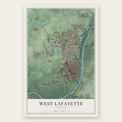
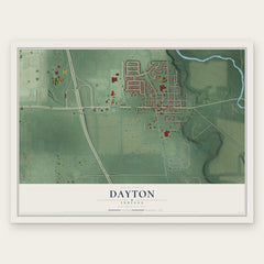

More maps nearby: Klondike, Battle Ground, Buck Creek, Stockwell and Montmorenci.
The art of mapping a place
How This Map Was Made
Real places. Remarkable detail. Discover the layers that turn geographic data into a map of home.

The view from above
Aerial imagery reveals the character of the land: woodland, open fields, and the patterns of a place.

The shape of the land
Elevation data brings hills, valleys, and subtle changes in the landscape into view.

The details of home
Roads, waterways, and building footprints come together to make the map feel unmistakably local.

Geography becomes art
Considered color, shading, and typography bring the layers together in a map made for your wall.


Process illustrated with Mendon, Massachusetts. Aerial imagery: USDA NAIP. Terrain: USGS 3D Elevation Program. Map details and finished artwork: KNOWOL.
The Details
About This Print
Choose an archival matte print, or a black or white Ayous wood frame. The archival matte print is unframed.
Select your size and finish above to see the matching product image and price.
Materials & Craftsmanship
A contemporary map with the character of a classic atlas, printed on archival matte paper. Optional frames are made from Ayous wood.
Your printed map does not include the watermark shown in the full-map preview.
Shipping & Delivery
Free shipping within the United States. Every print is made to order in the USA.
Buying a gift? Add a note in your cart and we'll include it. We never put prices in the package.
Prints ship within 2 to 3 business days. Allow 7 to 10 days total from ordering for delivery. Timing may vary during holidays or periods of high order volume.
Read our shipping policy.
Returns and damaged prints
Each print is made to order. Change-of-mind refunds are not available after production.
If your print arrives damaged, misprinted or incorrect, contact support@knowol.com within 30 days of receiving it. Include your order number, photos and a description of the issue.
Read our full refund and replacement policy. For questions about your order, email support@knowol.com.