
Search for another town

Free U.S. delivery 7 to 10 days after you order
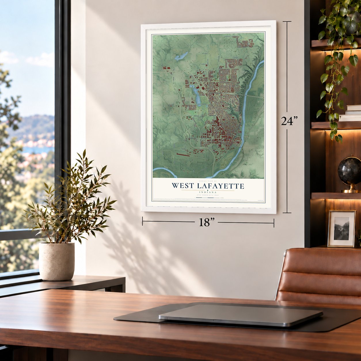
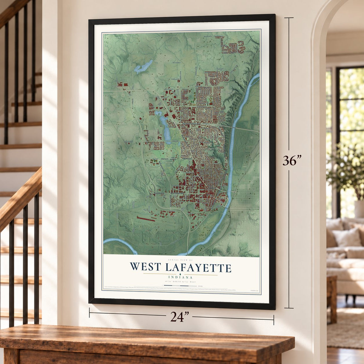
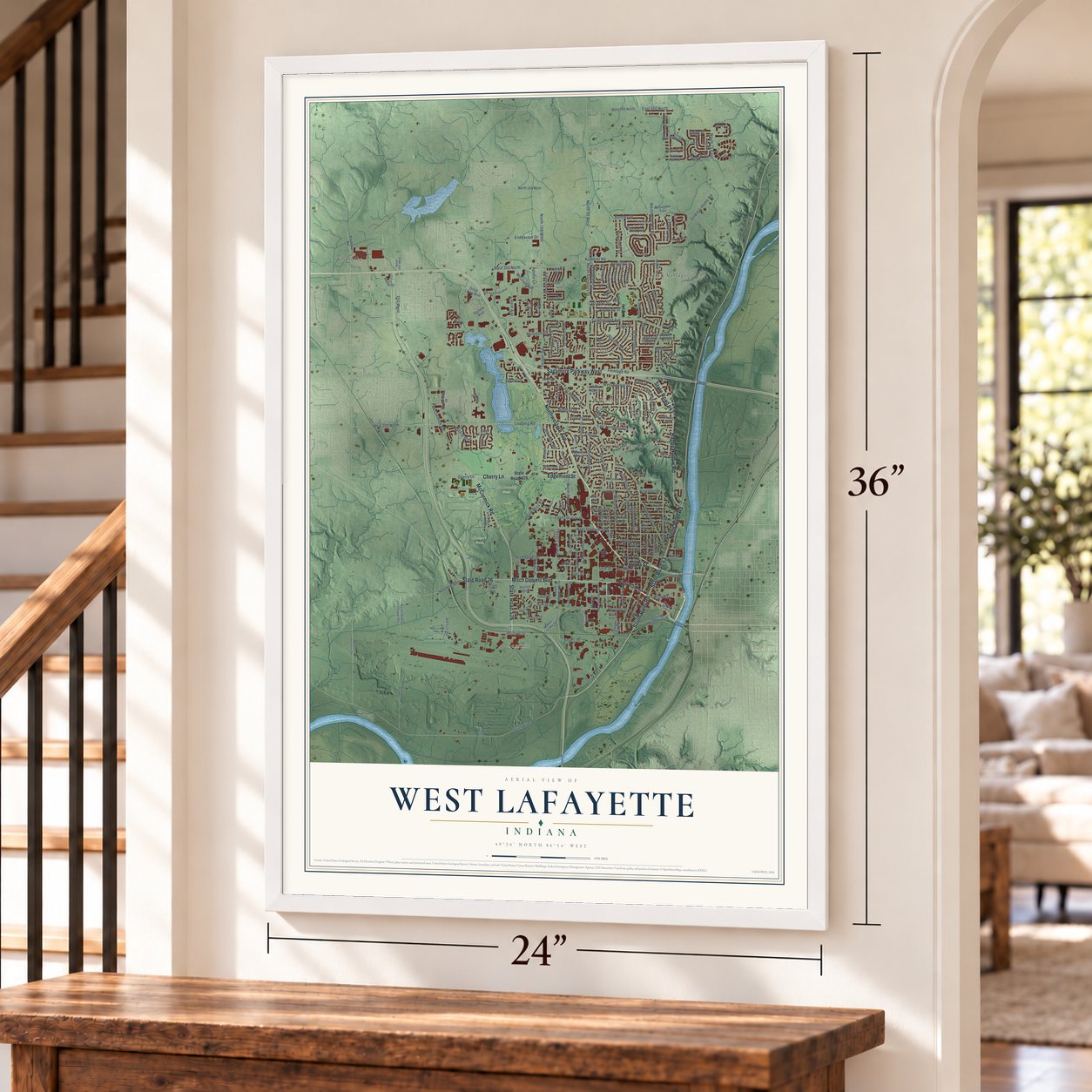
West Lafayette, Indiana Map Art
Building by building, with labeled streets and shaded relief.
12" x 18" Archival Matte Print
A Map of Home. A Work of Art.
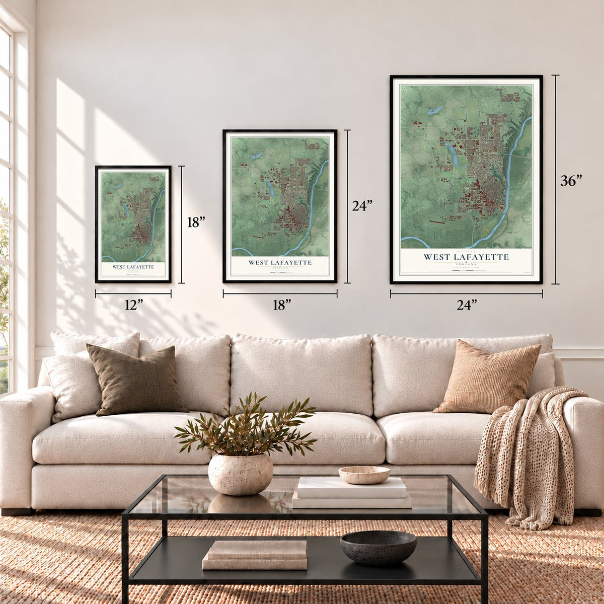
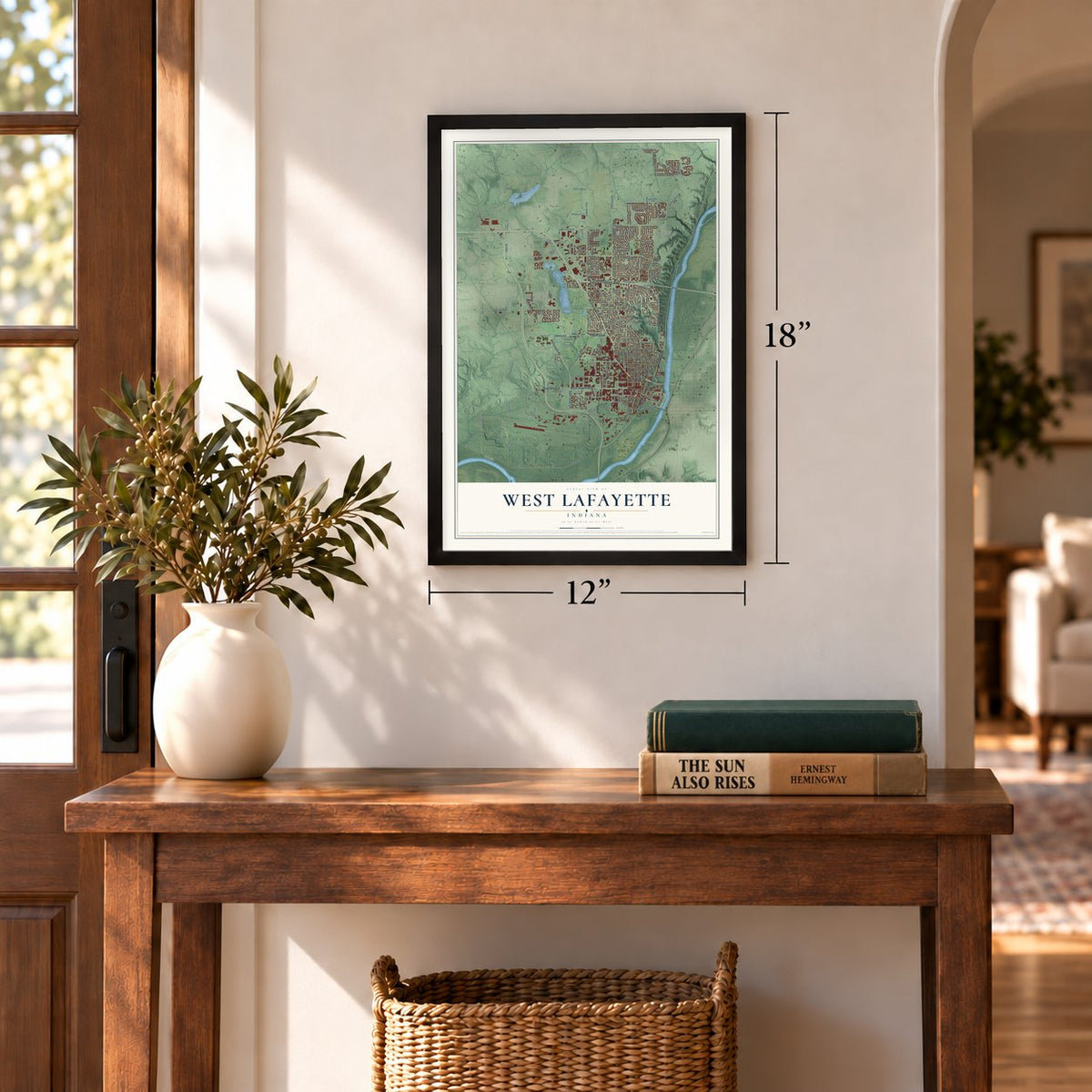
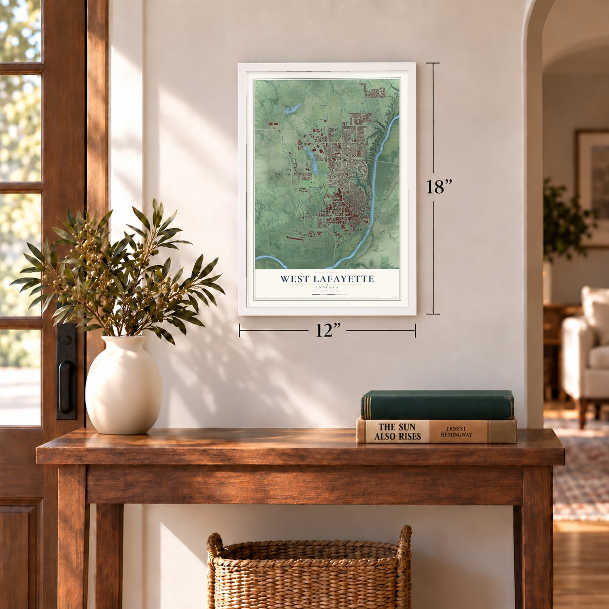
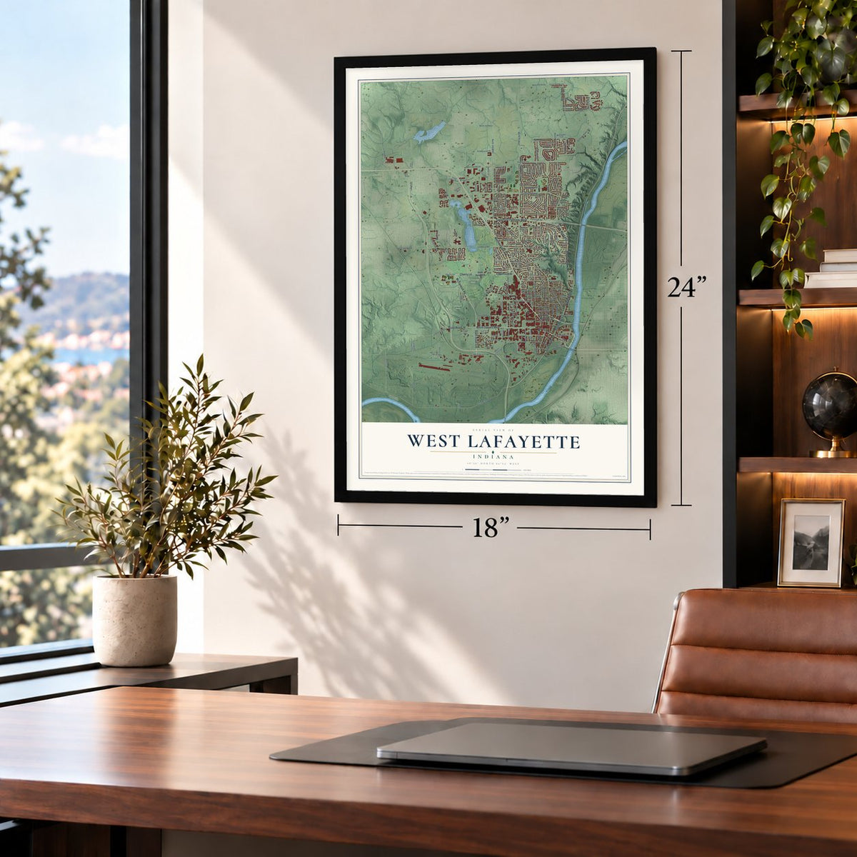
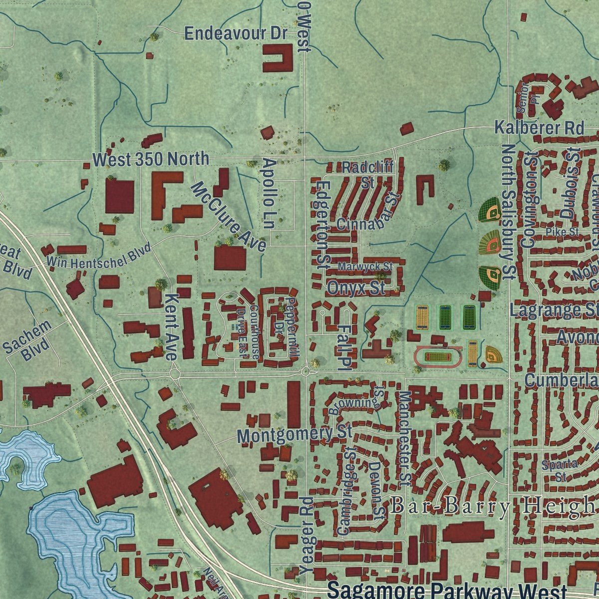
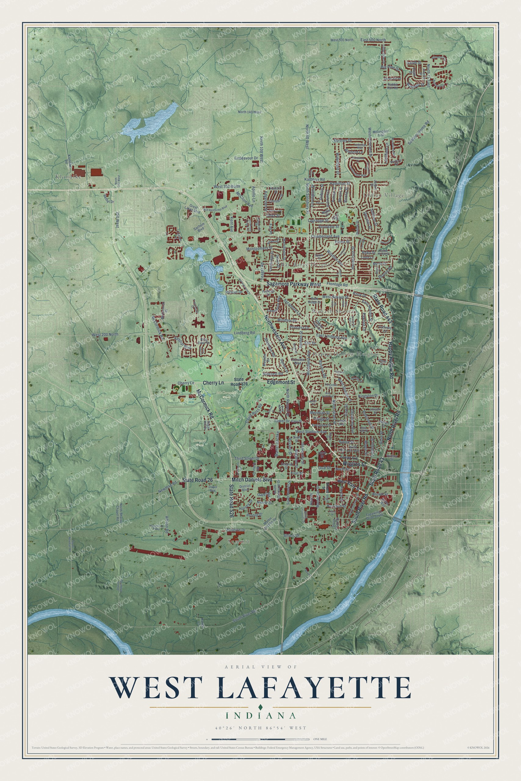
Explore West Lafayette, Indiana from a whole new perspective. Created using aerial imagery and detailed geographic data, this map captures West Lafayette building by building, with labeled streets, familiar landmarks, and shaded topographical relief that highlights the natural contours of the landscape.
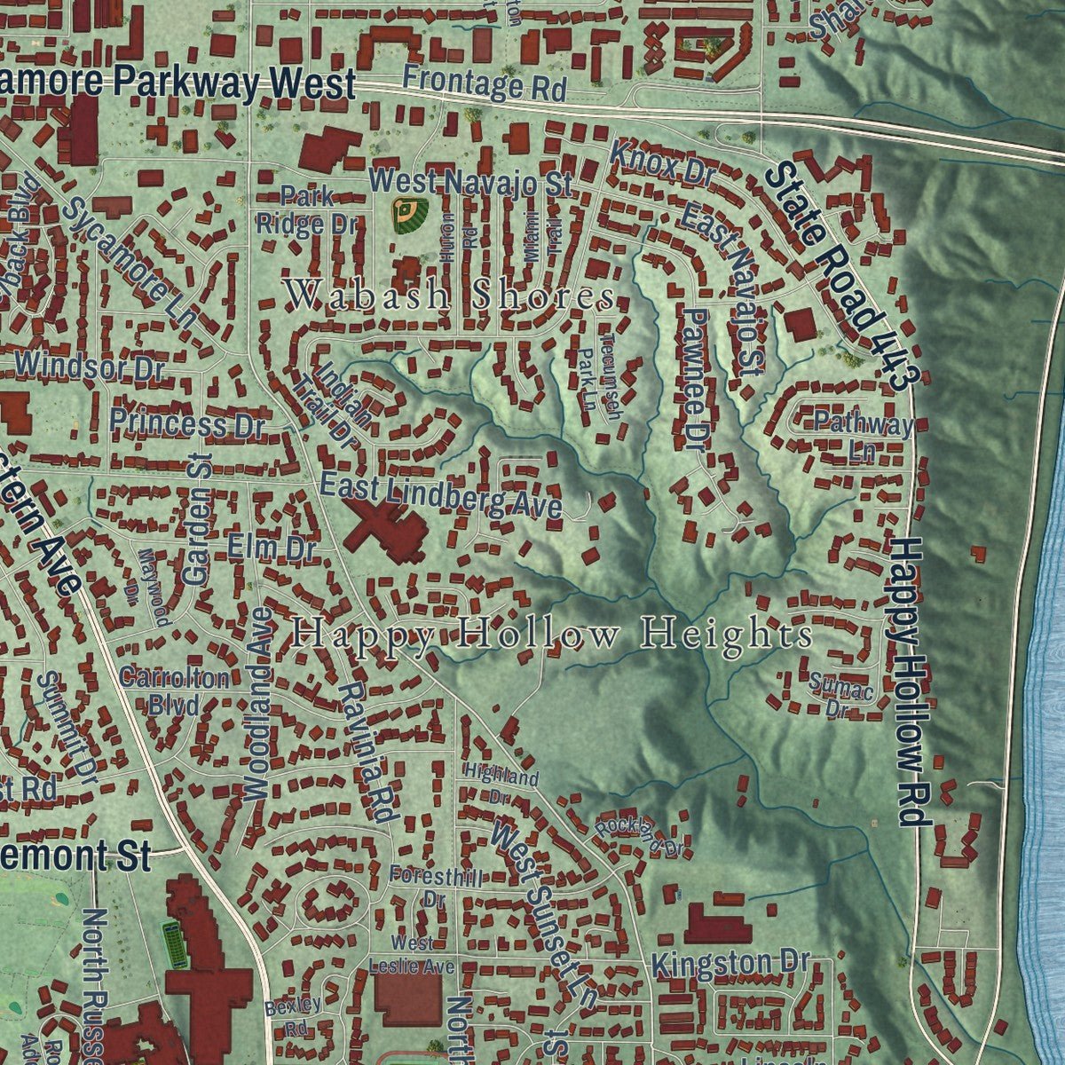
Combining modern data with the timeless character of a vintage atlas, this map is just as interesting up close as it is beautiful on the wall. Whether you grew up in West Lafayette, spent memorable years there, or call it home today, this unique map is a great way to celebrate a place that means something to you. Zoom in on the preview to look for your street, and then order a print to put your memories on the wall.
Three ways to hang it
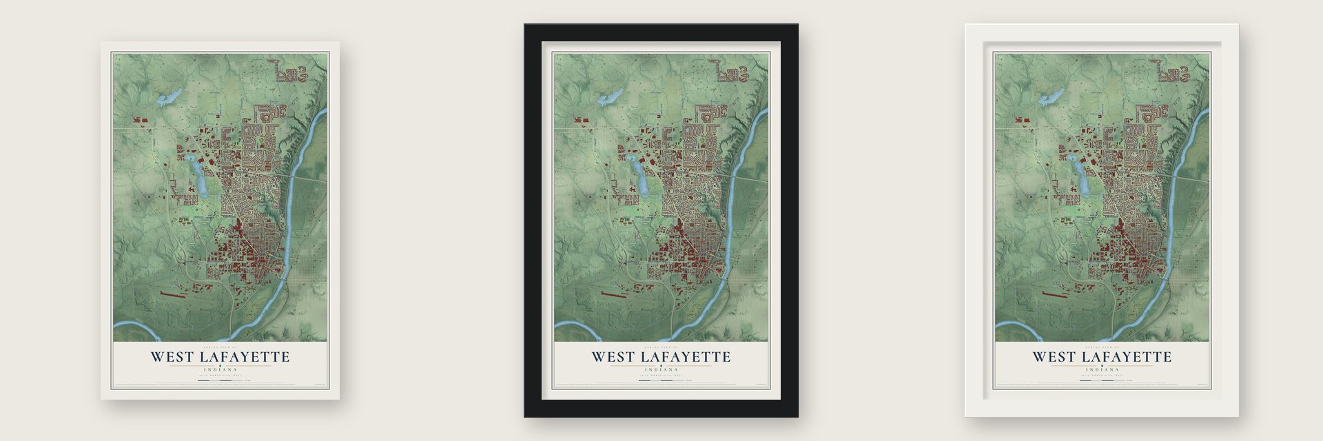
Unframed archival matte, a black wood frame or a white wood frame.
Up close
Geography Worth Displaying
This map was created using accurate cartographic data and authoritative geographic sources, including the U.S. Geological Survey and the Census Bureau. The map brings together terrain, waterways, roads, and building detail. The majority of the streets are labeled, houses are accurately depicted, and the topography is derived from government sources. Combining local data with carefully composed color and shading leads to this beautifully detailed West Lafayette artwork for your wall.
Rather than simply showing street outlines, we’ve included as many of the street names as we could reasonably fit on the map while keeping their names legible. Zoom in on the high resolution preview to see exactly what’s on the map. We truly set out to create a statement piece for anyone who loves West Lafayette. So whether it’s for you, or a gift for someone you love, we hope this map of West Lafayette brings back fond memories.
Read the story behind this map of West Lafayette, Indiana from 2026.
Find your street
Names on the West Lafayette map
Every name below is printed on this map. Look for your street, your school, the park where you played, or the pond down the road.
Places and landmarks8
- Summit
- McCormick Woods
- Stewart Woods
- Bar-Barry Heights
- Happy Hollow Heights
- Indian Village
- Klondike
- Wabash Shores
Streets and roads222
- State Road 26
- McCormick Road
- Mitch Daniels Boulevard
- Cherry Lane
- Wiggins Street
- Northwestern Avenue
- Edgemont Street
- North River Road
- South River Road
- Sagamore Parkway West
- State Road 526
- State Road 43
- Happy Hollow Road
- State Road 443
- North Salisbury Street
- Nimitz Drive
- Martin Jischke
- Cumberland Avenue
- Yeager Road
- Ravinia Road
- Kent Avenue
- Harrison Street
- North 100 West
- Lindberg Road
- Soldiers Home Road
- West 350 North
- West 200 North
- West Stadium Avenue
- North Grant Street
- Hamilton Street
Show all 222 streets
- Kalberer Road
- Covington Street
- Ahlers Drive
- Lagrange Street
- 250 West
- Hillcrest Road
- Vine Street
- Aviation Drive
- North 50 West
- Chauncey Avenue
- Newman Road
- West Navajo Street
- Westmoreland Drive
- Kestral Boulevard
- North 75 East
- Wilshire Avenue
- Garden Street
- Third Street Drive
- Sycamore Lane
- Littleton Street
- Robinson Street
- Tower Drive
- Meridian Street
- Essex Street
- North Russell Drive
- Pawnee Drive
- Rose Street
- University Street
- Woodland Avenue
- Waldron Street
- Knox Drive
- Russell Street
- First Street
- Allison Road
- Sheridan Road
- Montgomery Street
- McClure Avenue
- Wakefield Drive
- East 500 North
- West Sunset Lane
- Elm Drive
- Frontage Road
- Henderson Street
- Matthew Street
- Sharon Road
- Windsor Drive
- Burnley Drive
- East Lindberg Avenue
- Endeavour Drive
- East Navajo Street
- Oval Drive
- Litchfield Lane
- Edgerton Street
- Arnold Drive
- David Ross Road
- Brixford Lane
- Brown Street
- Marsteller Street
- Sylvia Street
- Big Pine Drive
- Gates Road
- Sullivan Street
- Pierce Street
- Avondale Street
- Dodge Street
- North Street
- Kingston Drive
- Halsey Drive
- Princess Drive
- Boone Street
- Decatur Street
- Palmer Drive
- Isaiah Street
- Maple Street
- Apollo Lane
- Dubois Street
- Reba Drive
- Onyx Street
- Hort Drive
- Fall Place
- West State Street
- State Road 126
- South Intramural Drive
- Martin Jischke Drive
- Indian Trail Drive
- South Grant Street
- Summit Drive
- Carrolton Boulevard
- Quincy Street
- Great Lakes Boulevard
- Elijah Street
- Klondike Road
- Manchester Street
- North Sharon Chapel Road
- Dehart Street
- King Eider Drive
- Cinnabar Street
- Crawford Street
- Tapawingo Drive South
- Sachem Boulevard
- District Boulevard
- Rabbit Run Road
- Jasper Street
- Pathway Lane
- Camelback Boulevard
- Devon Street
- Putnam Street
- McCormick Place
- Little Pine Drive
- South Russell Drive
- Western Drive
- Morgan Street
- West 500 North
- Cambridge Street
- Third Street
- Evergreen Street
- North 140 West
- Second Street
- Mc Arthur Drive
- Millingden Trail
- Myrtle Drive
- Benton Street
- Bethel Drive
- West Lutz Avenue
- Lincoln Street
- Sugar Hill Drive
- Range Lane
- Radcliff Street
- Park Ridge Drive
- Brees Way
- Anthrop Drive
- Linda Lane
- Sixth Street
- Cary Drive
- Noble Court
- Foxton Lane
- Lawn Avenue
- Dawn Avenue
- Vigo Court
- Sheetz Street
- Fowler Avenue
- Win Hentschel Boulevard
- Ross Ade Drive
- Franciscan Drive
- South University Drive
- Aqueduct Circle
- Hayes Street
- Peppermill Drive
- South Salisbury Street
- Broadview Road
- Foresthill Drive
- Chesterfield Way
- Bonterra Lane
- Tunbridge Way
- Sparta Street
- South Newman Road
- Browning Street
- Hypersonic Parkway
- Smoky Hill Road
- Jeremiah Street
- North 250 West
- Sumac Drive
- East Oak Street
- Sheffield Road
- Cedar Hollow Court
- Sharon Chapel Road
- Bowen
- Ashland Street
- Neil Armstrong Drive
- Courthouse Drive East
- Linda Lane West
- Mc Cutcheon Drive
- Hilltop Drive
- Marwyck Street
- Huron Road
- Pike Street
- Miami Trail
- Tecumseh Park Lane
- King Eider Court
- Rockland Drive
- Clayton Street
- Senior Place
- Farnsworth Drive
- Bexley Road
- Shrewsbury Drive
- Willow Drive
- Hartman Court
- Maywood Drive
- West Leslie Avenue
- Highland Drive
- Pearl Street
- Steely Street
Names are listed as they appear on the printed map. Zoom into the product photos to find them.
About West Lafayette, Indiana
West Lafayette is a city of 44,595 people in Tippecanoe County, on a bluff above the Wabash River across from Lafayette. In 1836 Augustus Wylie laid out a town on the floodplain below, but the river flooded the site so often that his town was never built. Jesse B. Lutz owned most of the land on the bluff, and in 1855 he surveyed it into lots and named the place Kingston. In 1860 the Chauncey family, wealthy land speculators from Philadelphia, platted a second town next door and called it Chauncey.
On January 2, 1866, residents met at the Kingstown school house, with James H. Marsteller as chairman, and agreed to incorporate the two villages as one town. The first trustees made Marsteller their president and chose the name Chauncey. Purdue University opened in 1869, and the growing school drew new homes to the town. In May 1888, after 152 voters signed a petition, Chauncey changed its name to West Lafayette.
- Turned down by LafayetteChauncey lacked improved streets, waterworks and police and fire protection, and it could not pay for them. In 1871 the village voted to become part of Lafayette. Lafayette voted no, because fixing everything the village lacked would cost too much. West Lafayette never got a railroad depot and trailed its neighbor for years in city services, but it grew along with the university and in time built services of its own.
- Purdue joins the city in 2013Purdue listed its address as Lafayette for much of the twentieth century, and its campus lay outside the city line. In November 2013 West Lafayette annexed much of the academic campus and the residence halls, placing them inside the city for the first time, along with a large stretch of the US Highway 231 corridor.
- A research park since 1961The Purdue Research Park opened in 1961 on 725 acres. It holds more than 140 companies, nearly 100 of them in technology, and as of 2009 they employed more than 3,000 people. It ranks among the largest research parks tied to a university anywhere in the country.
Keep exploring Indiana
West Lafayette is one of 1,023 Indiana towns we've mapped. Every dot on the map is a print of its own.
The search covers every state, Indiana first.
Near West Lafayette
Order 2 or more town maps and save 10%. Shown in the size and finish you picked above, so they hang as a set.
- Klondike 12" x 18" / Archival Matte Print $39.99
- Lafayette 12" x 18" / Archival Matte Print $39.99
- Battle Ground 12" x 18" / Archival Matte Print $39.99
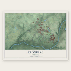
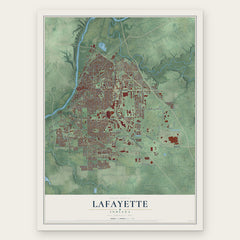
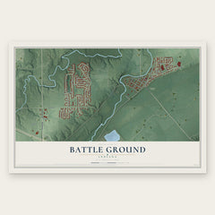
More maps nearby: Montmorenci, Shadeland, Buck Creek, Otterbein and Dayton.
The art of mapping a place
How This Map Was Made
Real places. Remarkable detail. Discover the layers that turn geographic data into a map of home.

The view from above
Aerial imagery reveals the character of the land: woodland, open fields, and the patterns of a place.

The shape of the land
Elevation data brings hills, valleys, and subtle changes in the landscape into view.

The details of home
Roads, waterways, and building footprints come together to make the map feel unmistakably local.

Geography becomes art
Considered color, shading, and typography bring the layers together in a map made for your wall.


Process illustrated with Mendon, Massachusetts. Aerial imagery: USDA NAIP. Terrain: USGS 3D Elevation Program. Map details and finished artwork: KNOWOL.
The Details
About This Print
Choose an archival matte print, or a black or white Ayous wood frame. The archival matte print is unframed.
Select your size and finish above to see the matching product image and price.
Materials & Craftsmanship
A contemporary map with the character of a classic atlas, printed on archival matte paper. Optional frames are made from Ayous wood.
Your printed map does not include the watermark shown in the full-map preview.
Shipping & Delivery
Free shipping within the United States. Every print is made to order in the USA.
Buying a gift? Add a note in your cart and we'll include it. We never put prices in the package.
Prints ship within 2 to 3 business days. Allow 7 to 10 days total from ordering for delivery. Timing may vary during holidays or periods of high order volume.
Read our shipping policy.
Returns and damaged prints
Each print is made to order. Change-of-mind refunds are not available after production.
If your print arrives damaged, misprinted or incorrect, contact support@knowol.com within 30 days of receiving it. Include your order number, photos and a description of the issue.
Read our full refund and replacement policy. For questions about your order, email support@knowol.com.