
Search for another town

Free U.S. delivery 7 to 10 days after you order
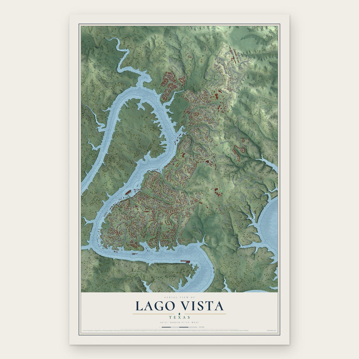
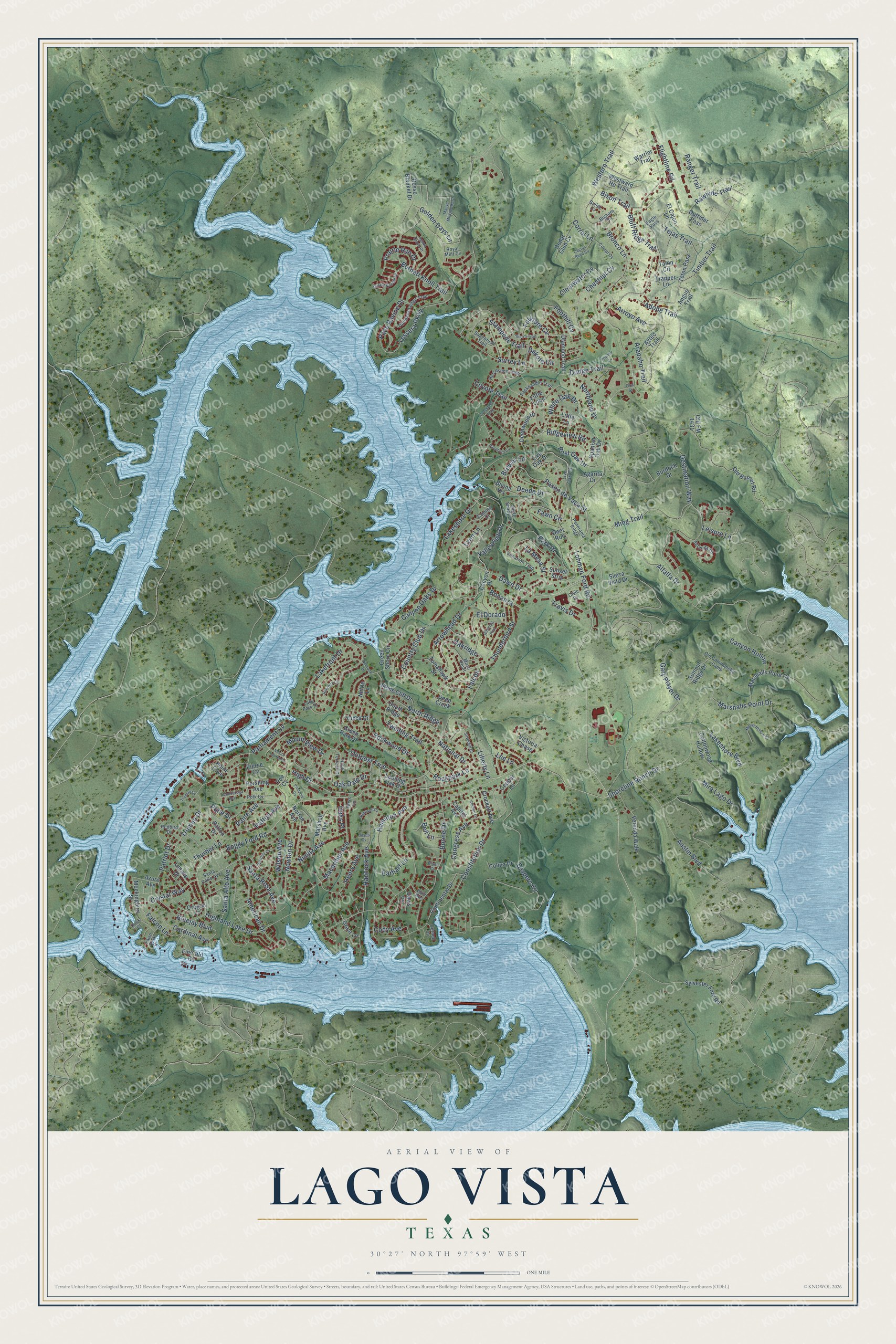
Lago Vista, Texas Map Art
Building by building, with labeled streets and shaded relief.
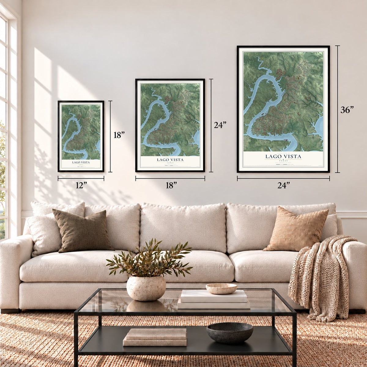
12" x 18" Archival Matte Print
A Map of Home. A Work of Art.
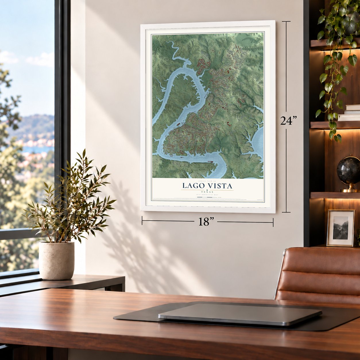
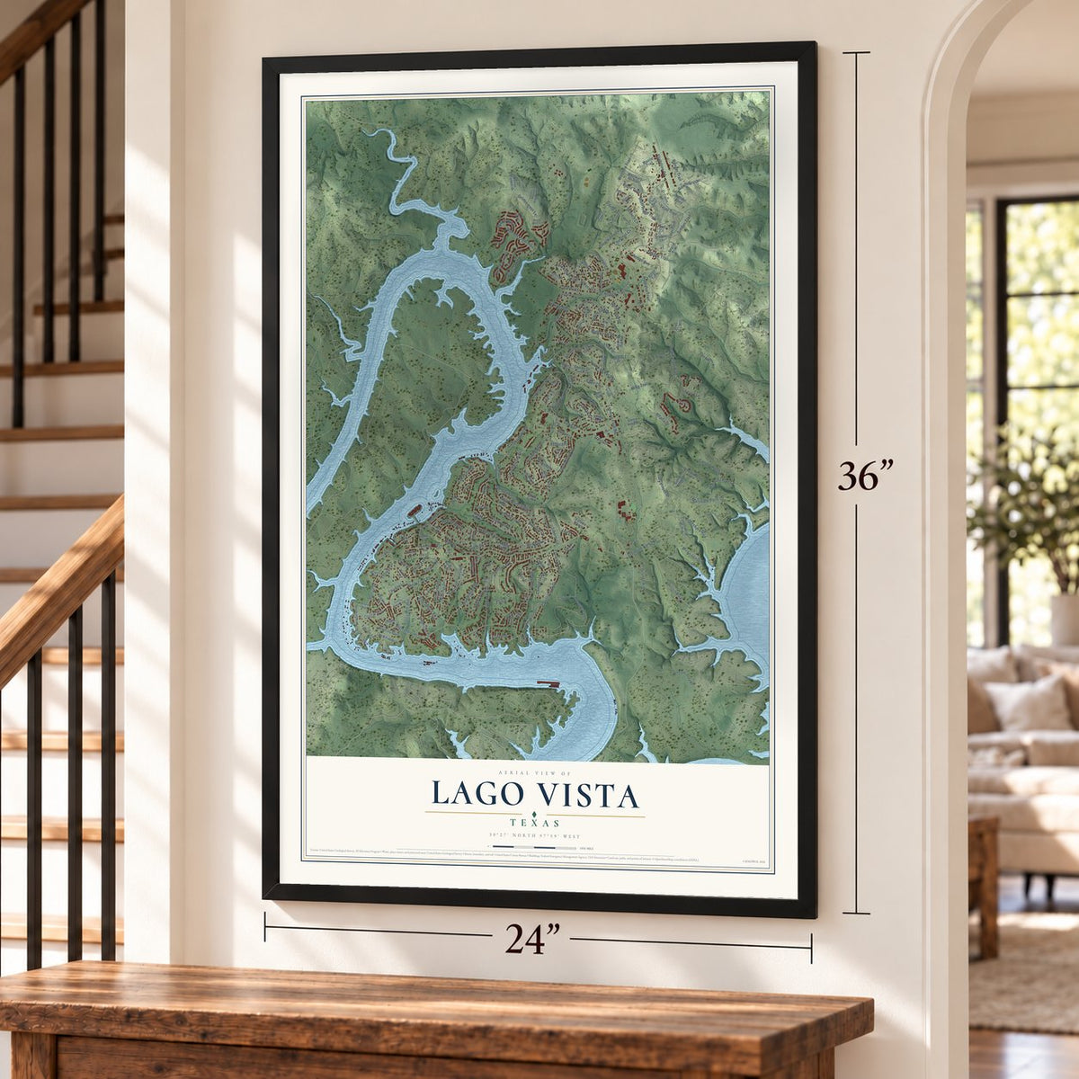
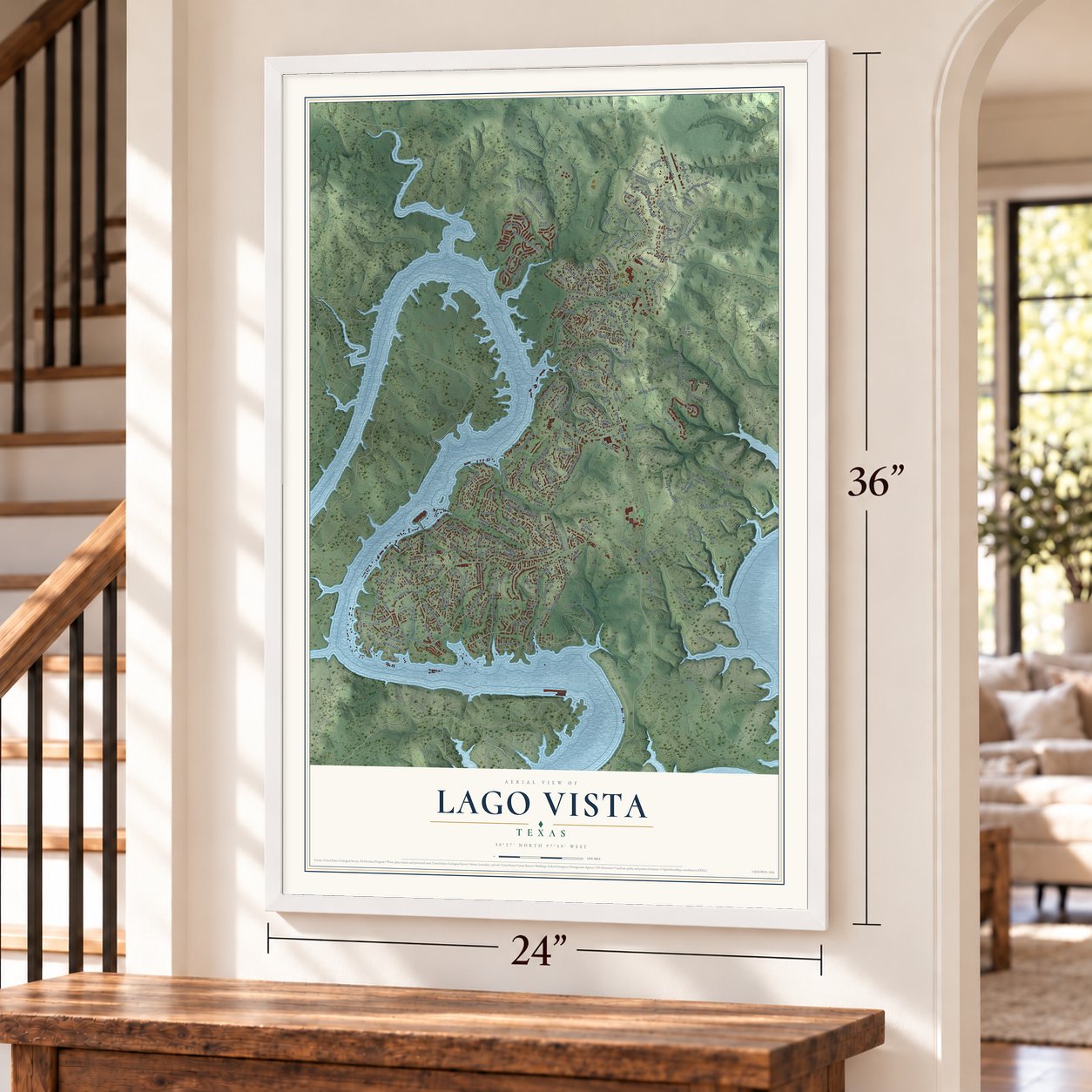
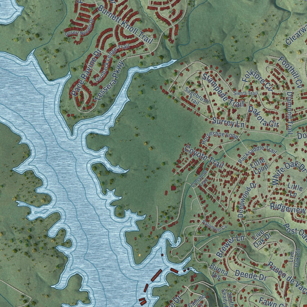
Explore Lago Vista, Texas from a whole new perspective. Created using aerial imagery and detailed geographic data, this map captures Lago Vista building by building, with labeled streets, familiar landmarks, and shaded topographical relief that highlights the natural contours of the landscape.
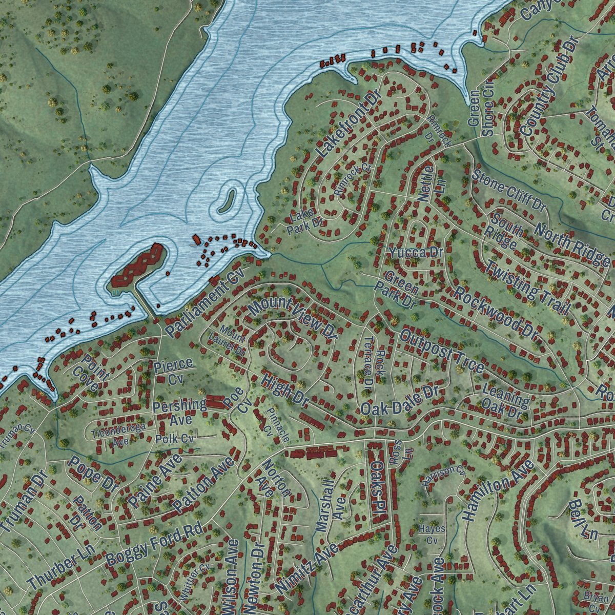
Combining modern data with the timeless character of a vintage atlas, this map is just as interesting up close as it is beautiful on the wall. Whether you grew up in Lago Vista, spent memorable years there, or call it home today, this unique map is a great way to celebrate a place that means something to you. Zoom in on the preview to look for your street, and then order a print to put your memories on the wall.
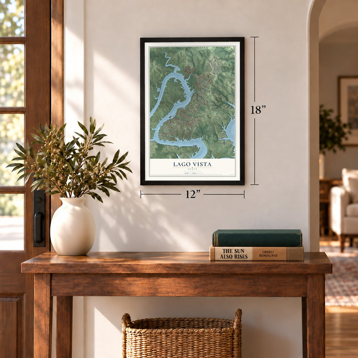
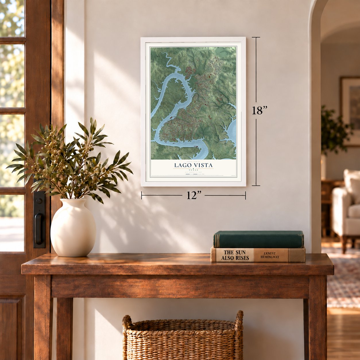
Three ways to hang it
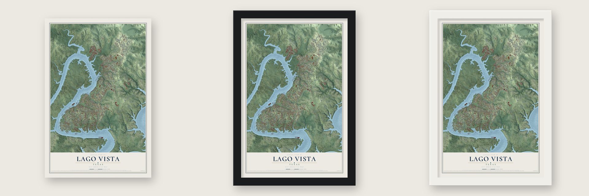
Unframed archival matte, a black wood frame or a white wood frame.
Up close
Geography Worth Displaying
This map was created using accurate cartographic data and authoritative geographic sources, including the U.S. Geological Survey and the Census Bureau. The map brings together terrain, waterways, roads, and building detail. The majority of the streets are labeled, houses are accurately depicted, and the topography is derived from government sources. Combining local data with carefully composed color and shading leads to this beautifully detailed Lago Vista artwork for your wall.
Rather than simply showing street outlines, we’ve included as many of the street names as we could reasonably fit on the map while keeping their names legible. Zoom in on the high resolution preview to see exactly what’s on the map. We truly set out to create a statement piece for anyone who loves Lago Vista. So whether it’s for you, or a gift for someone you love, we hope this map of Lago Vista brings back fond memories.
Read the story behind this map of Lago Vista, Texas from 2026.
Find your street
Names on the Lago Vista map
Every name below is printed on this map. Look for your street, your school, the park where you played, or the pond down the road.
Places and landmarks1
- Fawn Park
Streets and roads215
- Boggy Ford Road
- Dawn Drive
- Park Drive
- Burnett Knoll Trail
- Lohman Ford Road
- Highland Lake Drive
- Tessera Parkway
- Outpost Trce
- High Drive
- Destination Way
- American Drive
- Bronco Lane
- Drapers Cv
- Lakefront Drive
- Shoreline Ranch Drive
- Paseo de Vaca Street
- National Drive
- Austin Boulevard
- Patriot Drive
- Timber Trail
- Country Club Drive
- Constitution Drive
- Lakeshore Boulevard
- Thunderbird Street
- Hancock Avenue
- Gary Player Drive
- Northland Drive
- Boone Drive
- White Oak Drive
- Arroyo Avenue
Show all 215 streets
- Macarthur Avenue
- Santa Rosa Avenue
- Ridgeview Road
- Lakeshore Drive
- Ming Trail
- Surrey Lane
- Dodge Trail
- Oakridge
- Rawhide Trail
- Coyote Trail
- Rockwood Drive
- Cardinal Avenue
- Twisting Trail
- Bison Trail
- Arrowhead Drive
- Adobe Trail
- Mira Lago Drive
- Oak Dale Drive
- Newton Drive
- Post Oak Drive
- Henry Avenue
- Mount View Drive
- Bluejay Boulevard
- Ranger Trail
- La Mesa Street
- Pace Ravine Drive
- Chestnut Cv
- Western Trail
- Arapaho Trail
- Congress Avenue
- Parliament Cv
- North Ridge
- Crystal Way
- El Dorado
- Dakota Circle
- Canyon Oaks Drive
- Tejas Trail
- Nimitz Avenue
- Deede Drive
- Flightline Road
- Paine Avenue
- Marshalls Point Drive
- Hamilton Avenue
- Valleyview Drive
- Truman Drive
- Prairie Rye Drive
- Golden Days Lane
- Wilson Avenue
- Patton Avenue
- Falcon Lane
- Clearwater Cv
- Santa Alto Avenue
- Alfalfa Drive
- Bluff Ridge Trail
- Lynn Lane
- Canyon Hollow
- Travis Drive
- Liberty Lane
- Falcon
- Cody Avenue
- Thurber Lane
- Stampede Trail
- Bonanza
- Rockpark Lane
- Folklore Circle
- Bell Lane
- Foothill Cv
- Earhart Lane
- Lee Lane
- Oaks Place
- Fawn Circle
- Pope Drive
- Leisure Lane
- Brewer Lane
- Corral Lane
- Continental Drive
- Sylvester Ford Road
- Emerald Road
- Old Burnet Road
- Green Park Drive
- Deepwood Drive
- Live Oak Drive
- Deer Run
- Veranda Walk
- Omaha Drive
- Victoria Chase
- Marshalls Point Cv
- Mockingbird Street
- Spanish Oak Drive
- Cottonwood Hollow
- Buena Vis
- Norton Avenue
- Cooper Lane
- South Ridge
- Green Shore Circle
- Rosso Blanket Drive
- Crockett Avenue
- Stone Cliff Drive
- Marshall Avenue
- Canyon Drive
- Teton Pass
- Westward Ho Trail
- Poe Cv
- Patton Drive
- Oregon Lane
- Cedar Glen Cv
- Diamond Trail
- Talon Circle
- Agarita Drive
- Leaning Oak Drive
- Capitol Avenue
- Angus Trail
- Summit Ridge Drive
- Burdock Drive
- Pershing Avenue
- El Cajon Lane
- Trapper Lane
- Aztec Trail
- Colina Drive
- Warrior Trail
- Tomahawk Street
- Sunset Strip
- Outrider Pass
- Azure Avenue
- Sierra Vista Drive
- Yucca Drive
- Grant Lane
- Old FM 1431
- Little Lane
- Point Cove
- Davis Cv
- Nettle Lane
- Deep Creek
- Pierce Cv
- Little Loop
- Santa Carlo Avenue
- Cimarron Trail
- Live Oak Circle
- Redbird Drive
- Turnback Ledge Trail
- Camille Court
- Sagebrush Trail
- Rock Terrace Drive
- South Shady Lane
- Horseshoe Loop
- Panorama Ridge
- Packsaddle Trail
- Old Commanche Camp
- Bighorn Circle
- Serenity Lane
- Moss Point
- Corral Cv
- Polk Cv
- Eagle Pass
- Byrd Avenue
- Civic Drive
- Cornell Cv
- Lake Park Drive
- Royal Mint Cv
- Ross Lane
- Bullet Cv
- Dusk Court
- Rimrock Drive
- Sierra Trail
- Mossy Hollow Drive
- Ticonderoga Avenue
- Silverhill Drive
- Desert Needle Drive
- Mauve Milkweeds Street
- Cactus Bend Cv
- Rimrock Court
- Agave Grove Drive
- Harrison Cv
- Crossbow Trail
- Palomino Cv
- Whittier Cv
- Truman Cv
- Clinton Lane
- Powder Cv
- Mount Laurel Drive
- Pinnacle Cv
- Hitching Post
- Bryan Cv
- Hayes Cv
- First Street
Names are listed as they appear on the printed map. Zoom into the product photos to find them.
About Lago Vista, Texas
Lago Vista is a city of 8,896 people in Travis County, on the north shore of Lake Travis about 20 miles northwest of Austin. Its name is Spanish for "Lake View." Developers opened the area in the 1960s as a lakeside resort, and people came for summer homes, campgrounds and water sports on the lake.
In the early 1980s the City of Austin tried to annex the area. Residents responded by voting to form a city of their own, and Lago Vista was incorporated in 1984. The new city had about 2,500 people in 1988 and 2,199 in 1990, then grew to 4,507 by 2000. Between 2010 and 2020 it grew by 47.3%, far faster than the county's 26.9%.
- Limestone hills on a peninsulaMuch of Lago Vista sits on a peninsula of Texas Hill Country, beside and partly inside the Balcones Canyonlands, with the Colorado River running alongside. The land climbs from 774 feet at the lake shore to 1220 feet near the airport, through steep limestone hills and canyons that rank among the highest in Travis County.
- Rusty Allen AirportThe city runs its own airport, Rusty Allen Airport, on the northern edge of town. It has a single runway and serves general aviation only, so travelers catch scheduled flights at Austin-Bergstrom International Airport.
- Songbirds in AprilEach April the Balcones Songbird Festival celebrates the birds of the nearby canyonlands. The town's year also brings the La Primavera Bike Race in March, a Fourth of July parade with fireworks, and a Christmas tree lighting with a Trail of Lights on the first Monday of December.
Keep exploring Texas
Lago Vista is one of 2,049 Texas towns we've mapped. Every dot on the map is a print of its own.
The search covers every state, Texas first.
Near Lago Vista
Order 2 or more town maps and save 10%. Shown in the size and finish you picked above, so they hang as a set.
- Jonestown 12" x 18" / Archival Matte Print $39.99
- Briarcliff 12" x 18" / Archival Matte Print $39.99
- Hudson Bend 12" x 18" / Archival Matte Print $39.99
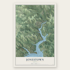
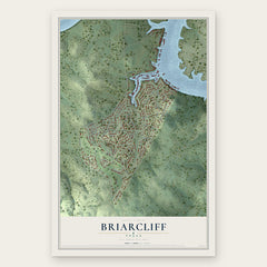
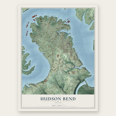
More maps nearby: Point Venture, Volente, Lakeway, The Hills and Steiner Ranch.
The art of mapping a place
How This Map Was Made
Real places. Remarkable detail. Discover the layers that turn geographic data into a map of home.

The view from above
Aerial imagery reveals the character of the land: woodland, open fields, and the patterns of a place.

The shape of the land
Elevation data brings hills, valleys, and subtle changes in the landscape into view.

The details of home
Roads, waterways, and building footprints come together to make the map feel unmistakably local.

Geography becomes art
Considered color, shading, and typography bring the layers together in a map made for your wall.


Process illustrated with Mendon, Massachusetts. Aerial imagery: USDA NAIP. Terrain: USGS 3D Elevation Program. Map details and finished artwork: KNOWOL.
The Details
About This Print
Choose an archival matte print, or a black or white Ayous wood frame. The archival matte print is unframed.
Select your size and finish above to see the matching product image and price.
Materials & Craftsmanship
A contemporary map with the character of a classic atlas, printed on archival matte paper. Optional frames are made from Ayous wood.
Your printed map does not include the watermark shown in the full-map preview.
Shipping & Delivery
Free shipping within the United States. Every print is made to order in the USA.
Buying a gift? Add a note in your cart and we'll include it. We never put prices in the package.
Prints ship within 2 to 3 business days. Allow 7 to 10 days total from ordering for delivery. Timing may vary during holidays or periods of high order volume.
Read our shipping policy.
Returns and damaged prints
Each print is made to order. Change-of-mind refunds are not available after production.
If your print arrives damaged, misprinted or incorrect, contact support@knowol.com within 30 days of receiving it. Include your order number, photos and a description of the issue.
Read our full refund and replacement policy. For questions about your order, email support@knowol.com.