
Search for another town
Free U.S. delivery 7 to 10 days after you order
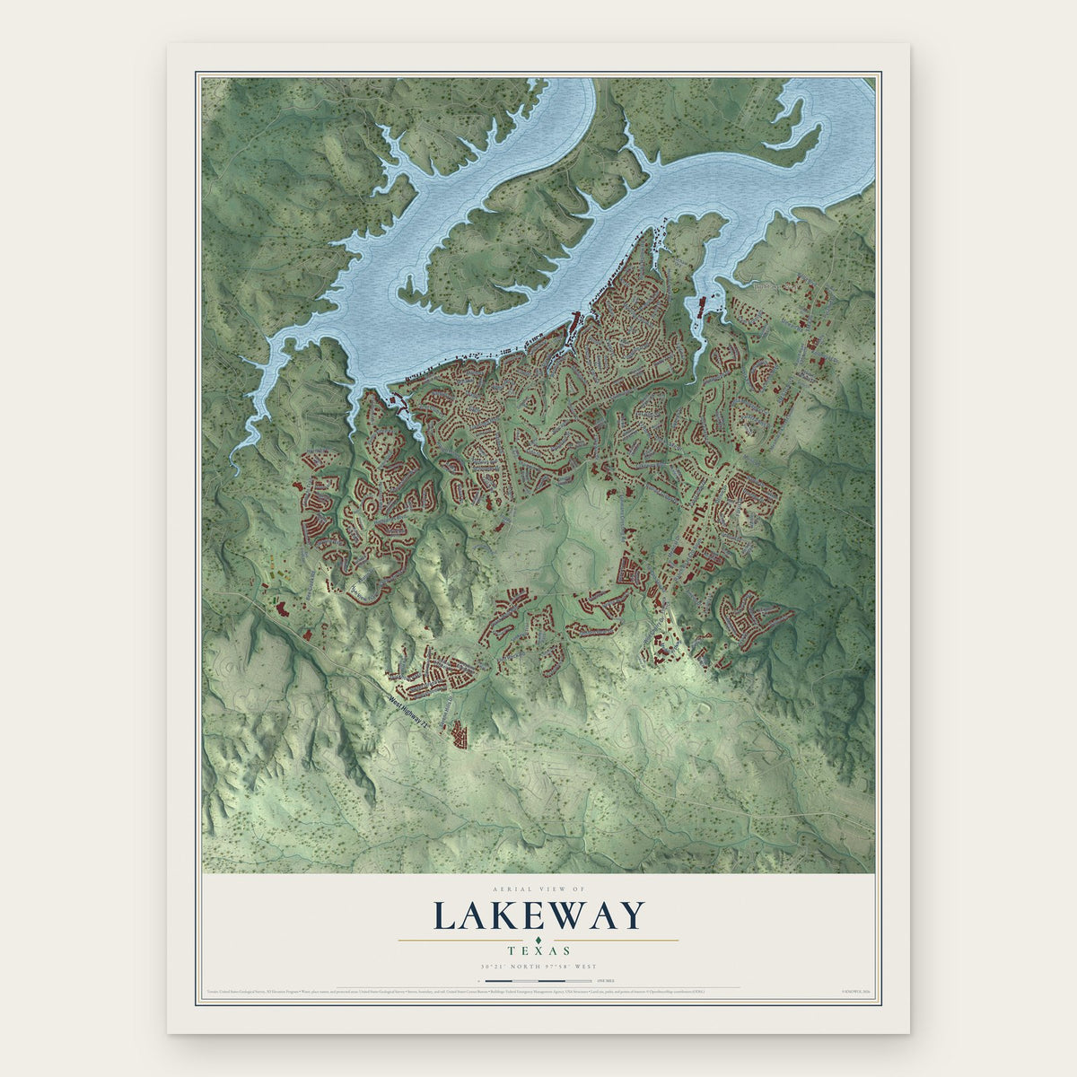
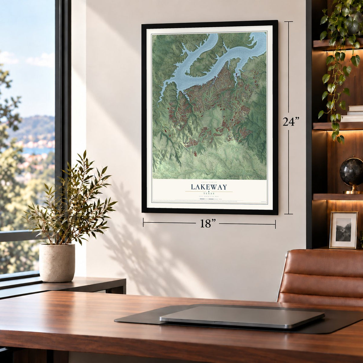
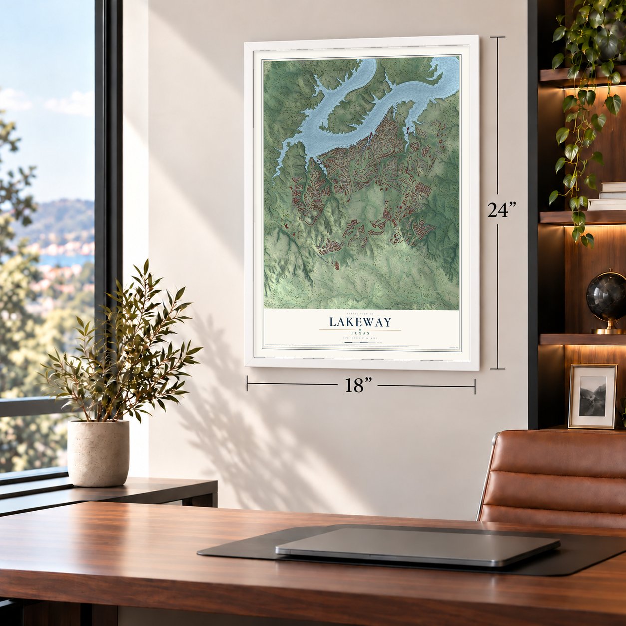
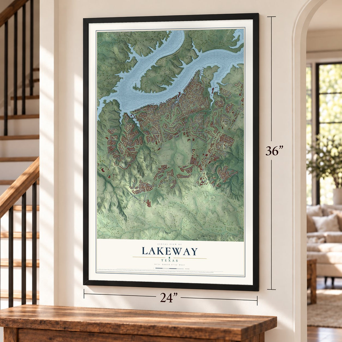
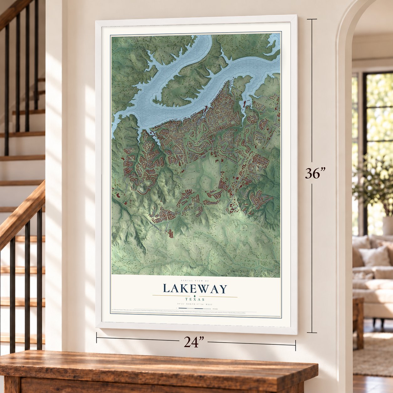
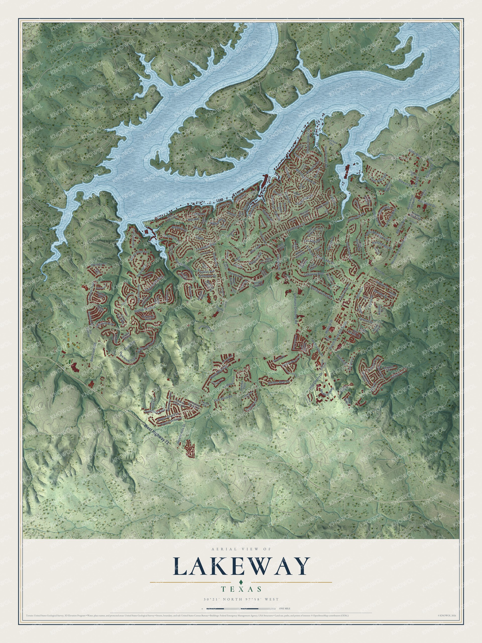
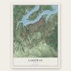
Lakeway, Texas Map Art
Building by building, with labeled streets and shaded relief.
12" x 18" Archival Matte Print
A Map of Home. A Work of Art.
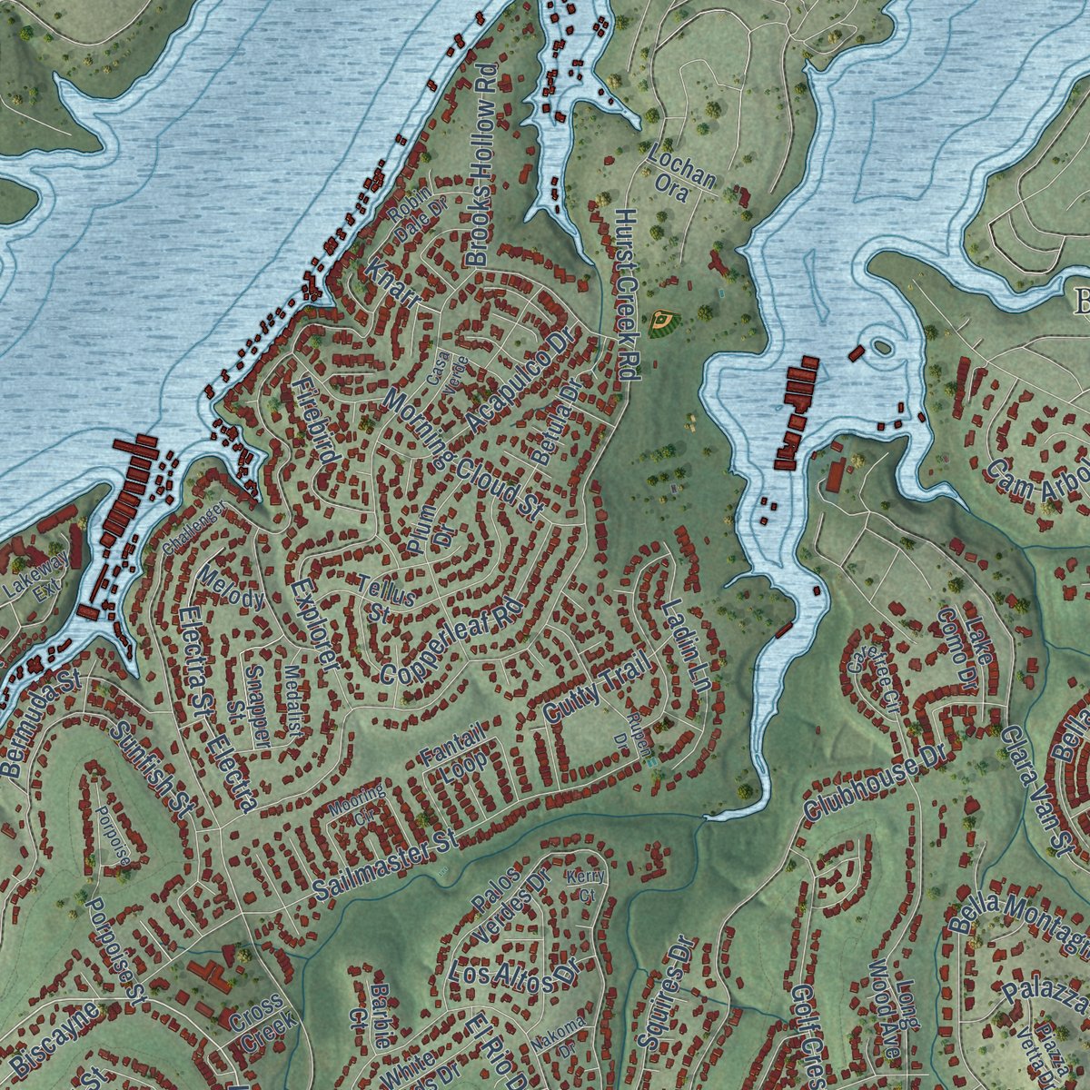
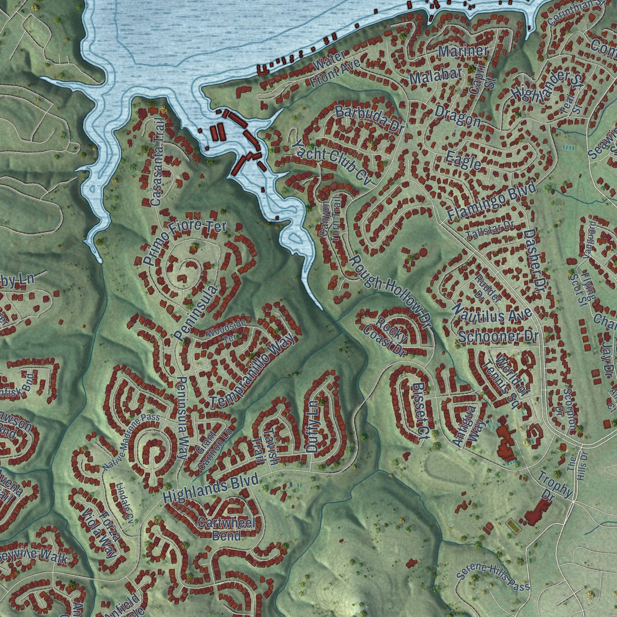
Explore Lakeway, Texas from a whole new perspective. Created using aerial imagery and detailed geographic data, this map captures Lakeway building by building, with labeled streets, familiar landmarks, and shaded topographical relief that highlights the natural contours of the landscape.
Combining modern data with the timeless character of a vintage atlas, this map is just as interesting up close as it is beautiful on the wall. Whether you grew up in Lakeway, spent memorable years there, or call it home today, this unique map is a great way to celebrate a place that means something to you. Zoom in on the preview to look for your street, and then order a print to put your memories on the wall.
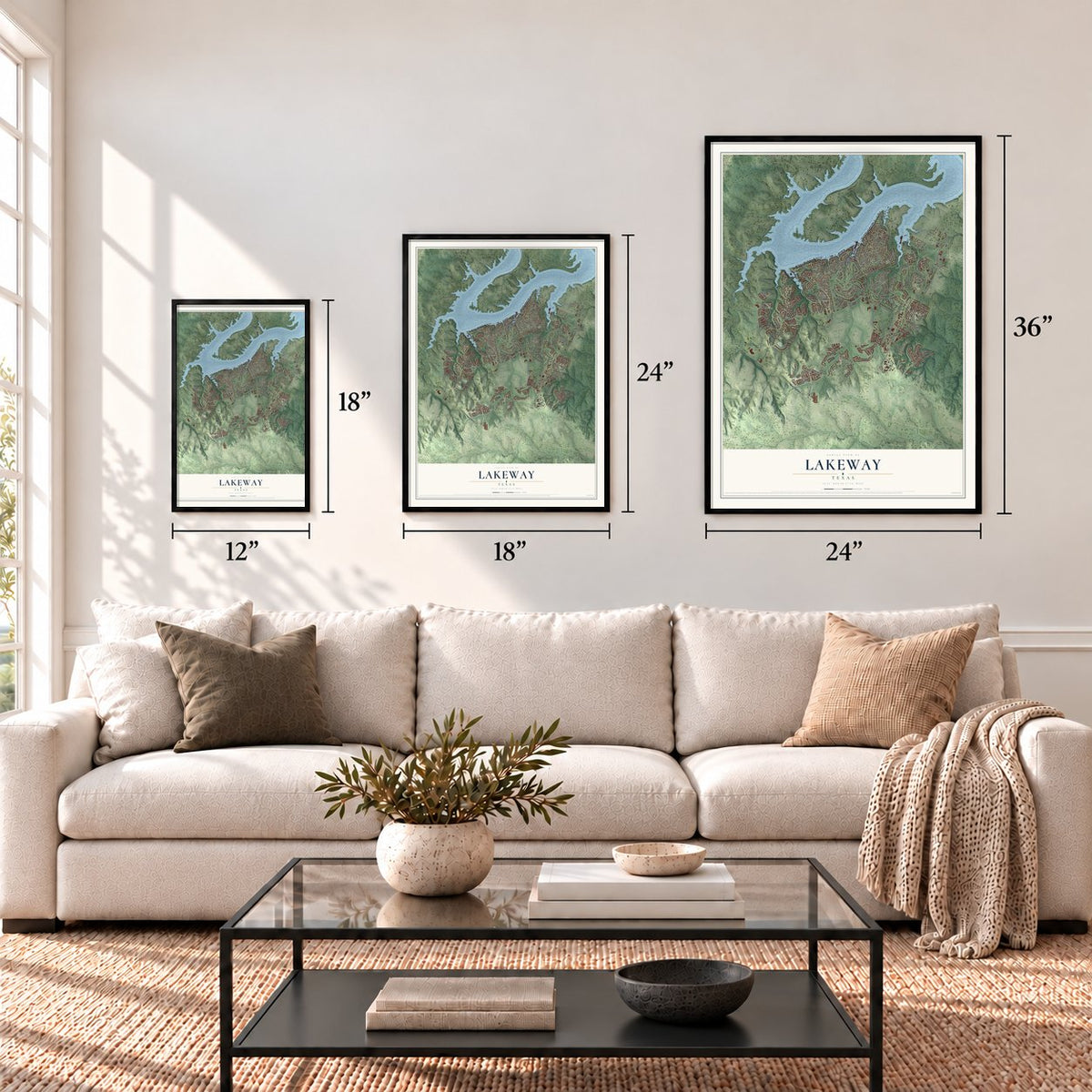
Three ways to hang it
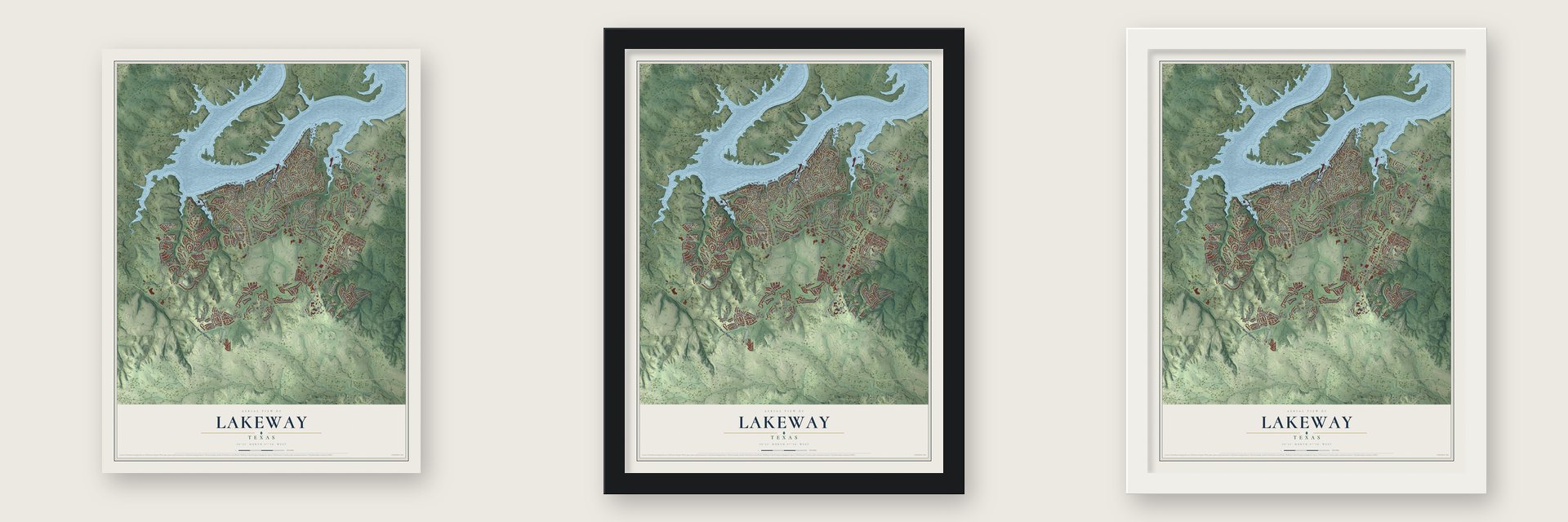
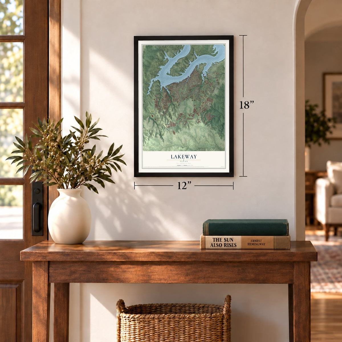
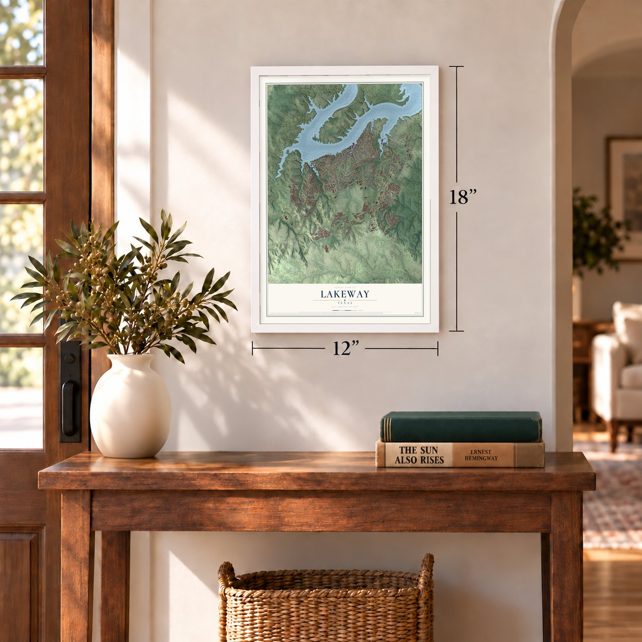
Unframed archival matte, a black wood frame or a white wood frame.
Up close
Geography Worth Displaying
This map was created using accurate cartographic data and authoritative geographic sources, including the U.S. Geological Survey and the Census Bureau. The map brings together terrain, waterways, roads, and building detail. The majority of the streets are labeled, houses are accurately depicted, and the topography is derived from government sources. Combining local data with carefully composed color and shading leads to this beautifully detailed Lakeway artwork for your wall.
Rather than simply showing street outlines, we’ve included as many of the street names as we could reasonably fit on the map while keeping their names legible. Zoom in on the high resolution preview to see exactly what’s on the map. We truly set out to create a statement piece for anyone who loves Lakeway. So whether it’s for you, or a gift for someone you love, we hope this map of Lakeway brings back fond memories.
Find your street
Names on the Lakeway map
Every name below is printed on this map. Look for your street, your school, the park where you played, or the pond down the road.
Places and landmarks1
- Buffalo Gap
Streets and roads206
- West Highway 71
- Lakeway Boulevard
- Serene Hills Drive
- Lakeway Drive
- Star Street
- Ranch Road 620 South
- Lido Street
- Highlands Boulevard
- Lohmans Crossing Road
- Baldovino Skwy
- Bee Creek Road
- Hurst Creek Road
- Flint Rock Road
- Sunfish Street
- Golden Bear Drive
- Bella Montagna Circle
- Duck Lake Drive
- Barrie Drive
- FM 620
- RM 620 North
- Clara Van Street
- Rough Hollow Drive
- Sailmaster Street
- Explorer
- Clubhouse Drive
- Golf Crest Lane
- Malabar
- Rolling Green Drive
- Copperleaf Road
- Aria Drive
Show all 206 streets
- Vanguard Street
- Stewart Road
- Brooks Hollow Road
- Eagle
- Sweet Grass Lane
- Black Wolf Run
- Morning Cloud Street
- Tomichi Trail
- Dragon
- Farris Drive
- Vailco Lane
- Gebron Drive
- Flamingo Boulevard
- Primo Fiore Terrace
- Wild Cherry Drive
- Delsie Drive
- Bermuda Street
- Electra
- Electra Street
- Tempranillo Way
- Nautilus Avenue
- Bisset Court
- Mariner
- Dasher Drive
- High View Trail
- Bellagio Drive
- San Remo Boulevard
- Cam Arbolago
- Ladin Lane
- Lakota Pass
- Medical Parkway
- Cutty Trail
- Highlander Street
- Palazza Alto Drive
- Ameno Drive
- Yacht Club Cv
- Squires Drive
- Duckhorn Pass
- Firebird
- Gulfton Street
- Schooner Drive
- Kollmeyer Drive
- Peninsula
- Crest View Drive
- Acapulco Drive
- Sailfish Street
- Dorothy Drive
- Biscayne
- Barbuda Drive
- Duffy Lane
- Varco Drive
- Bella Boulevard
- Comet
- Medical Drive
- Los Altos Drive
- Hornsby Lane
- Pyramid Drive
- El Rio Drive
- Troon Drive
- Knarr
- Champion Drive
- Trophy Drive
- Avena Trail
- World of Tennis Square
- Ranch Road 620 North
- Palos Verdes Drive
- Crestone Stream Drive
- Cartwheel Bend
- Long Wood Avenue
- Glen Heather Court
- Water Front Avenue
- Ringtail Stream Drive
- Casasanta Trail
- Tellus Street
- Tonkawa Trail
- Meadowlark Street South
- Peninsula Way
- Rawson Bnd
- Joseph Drive
- Sendera Bonita
- Sebastians Run
- Pawnee Pass
- Bowcross Point
- Keaton Terrace
- Flintrock Trce
- Fantail Loop
- Plum Drive
- Anfield Circle
- Lodestone Lane
- Warbler Drive
- Lohmans Spur Road
- Belforte Avenue
- Serene Estates Drive
- Betula Drive
- Seawind Street
- Capri Street
- Royal Oak Lane
- Neville Wood Court
- Abbeyville Walk
- Forza Viola Way
- Porpoise Street
- Cavalier Canyon Drive
- Blue Jay Drive
- Anfield Cricle
- White Sands Drive
- Cold Water Lane
- Snapper Street
- Sledge Drive
- Amiata Avenue
- Double Eagle Drive
- Far Vela Lane
- Tavish Trail
- Burgess Lane
- Lake Como Drive
- Finn Street
- South El Dorado
- Rocky Coast Drive
- Oreilly Drive
- Borello Drive
- Murfin Road
- Aria Ridge
- Antigua Way
- Lochan Ora
- Parker Bend
- Cross Creek
- Barbie Court
- Melody
- Flying Scot Street
- Serene Hills Pass
- Corinthian Street
- Canyon Turn Trail
- Carefree Circle
- Debba Drive
- Dave Drive
- Honey Creek Court
- Medalist
- Indianwood Drive
- Kayden Way
- Birrell Street
- Treasure Peak Pass
- Bee Creek Spr
- Robin Dale Drive
- Rudder Drive
- Escavera Cv
- Tallstar Drive
- Scorpion Drive
- Holly Lane
- Bonfisk Bnd
- Lakeway Extension
- Teal Street
- Piazza Vetta Drive
- New Lido Drive
- Lodestone Cv
- Zephyr Street
- Grant Cannon Lane
- Geiger Path
- Stroup Circle
- Strader Circle
- The Hills Drive
- Vanguard
- Challenger
- Native Madrone Pass
- Mooring Circle
- Porpoise
- Rupen Drive
- Jack Nicholas Drive
- Woodside Terrace
- Lido Circle
- Retama Court
- Lindale Cv
- Peak Lookout Drive
- Casa Verde
- Stoney Creek Cv
- Nakoma Drive
- Airpark Court
- Kerry Court
Names are listed as they appear on the printed map. Zoom into the product photos to find them.
About Lakeway, Texas
Lakeway is a city of 19,189 people in Travis County, on Lake Travis about five miles west of Mansfield Dam. The land was once a 2,700-acre ranch that belonged to Jack (Jake) Josey, a Houston oilman and rancher. In early 1962 Lee Blocker, John H. Crooker, Jr., and G. Flint Sawtelle, three Houston men connected to Gulfmont, a hotel company, secured a sixty-day option to buy the ranch. They planned to build a hotel and a resort community there.
The group grew to ten partners, who bought 880 acres called Josey 1 for an inn and homes. Lot sales opened on May 30, 1963, and the Lakeway Inn and Marina celebrated its grand opening that July. The partners bought 2,817 more acres in 1964. By April 26, 1971, Lakeway had 300 homes on 1,000 developed acres, and the partners sold their Lakeway Land Company to Alpert Investment Corporation of Dallas. In July 1974 property owners voted by a wide margin, with Austin's consent, to make Lakeway a village of 1,200 acres, and Newt Herndon became its first mayor.
- A name borrowed from golfGulfmont already ran the Fairway Motor Hotel in McAllen, named because it looked out over the fairway of a golf course. For a new resort on the water, Lakeway was the name that followed.
- The inn opened in 1963Work on the hotel started in October 1962, and it opened on July 12, 1963. The ten partners owned the inn through a company called Lakeway Joint Ventures and leased it to Gulfmont to run, while Flint Sawtelle led the Lakeway Land Company, which sold the real estate.
- From 1,020 to 19,189Lakeway counted 1,020 people in 1984, with 3,120 in the greater Lakeway area. The city reached 4,044 in 1990, nearly doubled to 8,002 by 2000, and grew to 11,391 in 2010 and 19,189 in 2020.
- A library on donated landThe Lake Travis Community Library began inside Lake Travis High School in 1985. Voters created a library district in May 2004, Haythem Dawlett gave land for a building in March 2011, and the library moved into its 11,000-square-foot home in the Tuscan Village area in February 2013.
- A hospital since 2012Baylor Scott & White opened its Lakeway medical center off Ranch to Market Road 620 in April 2012 with 100 beds.
Keep exploring Texas
Lakeway is one of 2,049 Texas towns we've mapped. Every dot on the map is a print of its own.
The search covers every state, Texas first.
Near Lakeway
Order 2 or more town maps and save 10%. Shown in the size and finish you picked above, so they hang as a set.
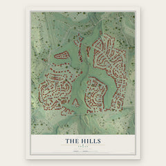
- The Hills 12" x 18" / Archival Matte Print $39.99
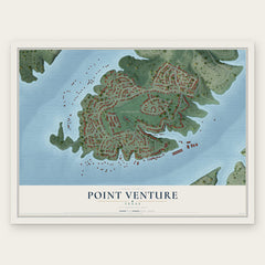
- Point Venture 12" x 18" / Archival Matte Print $39.99
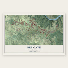
- Bee Cave 12" x 18" / Archival Matte Print $39.99
More maps nearby: Briarcliff, Hudson Bend, Steiner Ranch, Lago Vista and Volente.
The art of mapping a place
How This Map Was Made
Real places. Remarkable detail. Discover the layers that turn geographic data into a map of home.

The view from above
Aerial imagery reveals the character of the land: woodland, open fields, and the patterns of a place.

The shape of the land
Elevation data brings hills, valleys, and subtle changes in the landscape into view.

The details of home
Roads, waterways, and building footprints come together to make the map feel unmistakably local.

Geography becomes art
Considered color, shading, and typography bring the layers together in a map made for your wall.


Process illustrated with Mendon, Massachusetts. Aerial imagery: USDA NAIP. Terrain: USGS 3D Elevation Program. Map details and finished artwork: KNOWOL.
The Details
About This Print
Choose an archival matte print, or a black or white Ayous wood frame. The archival matte print is unframed.
Select your size and finish above to see the matching product image and price.
Materials & Craftsmanship
A contemporary map with the character of a classic atlas, printed on archival matte paper. Optional frames are made from Ayous wood.
Your printed map does not include the watermark shown in the full-map preview.
Shipping & Delivery
Free shipping within the United States. Every print is made to order in the USA.
Buying a gift? Add a note in your cart and we'll include it. We never put prices in the package.
Prints ship within 2 to 3 business days. Allow 7 to 10 days total from ordering for delivery. Timing may vary during holidays or periods of high order volume.
Read our shipping policy.
Returns and damaged prints
Each print is made to order. Change-of-mind refunds are not available after production.
If your print arrives damaged, misprinted or incorrect, contact support@knowol.com within 30 days of receiving it. Include your order number, photos and a description of the issue.
Read our full refund and replacement policy. For questions about your order, email support@knowol.com.