
Search for another town

Free U.S. delivery 7 to 10 days after you order
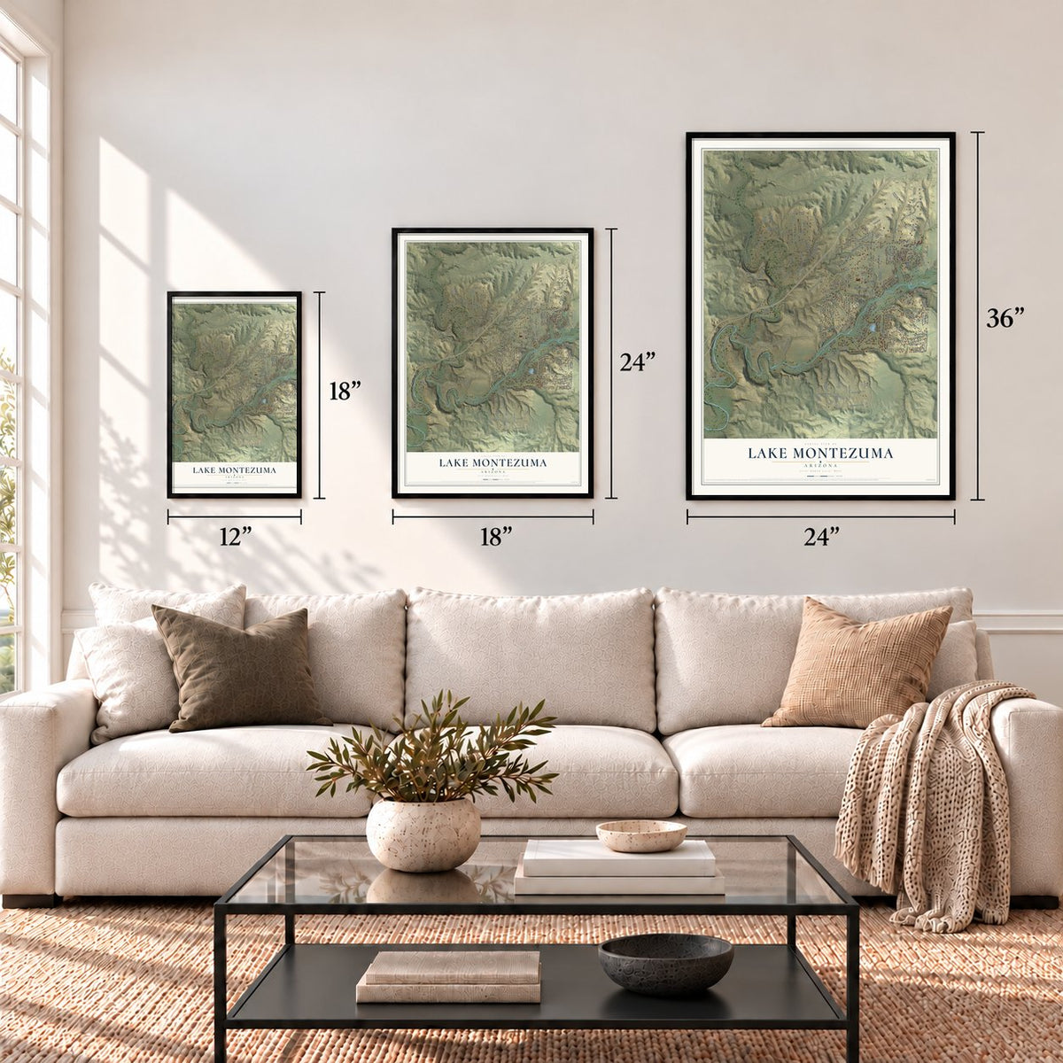
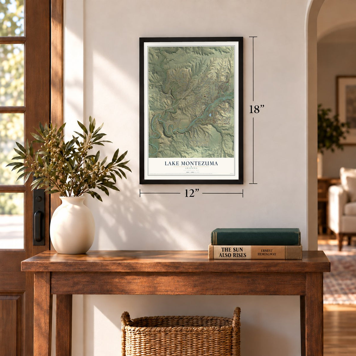
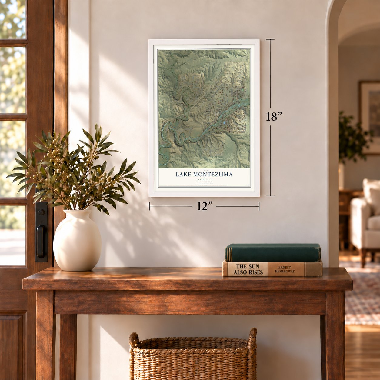
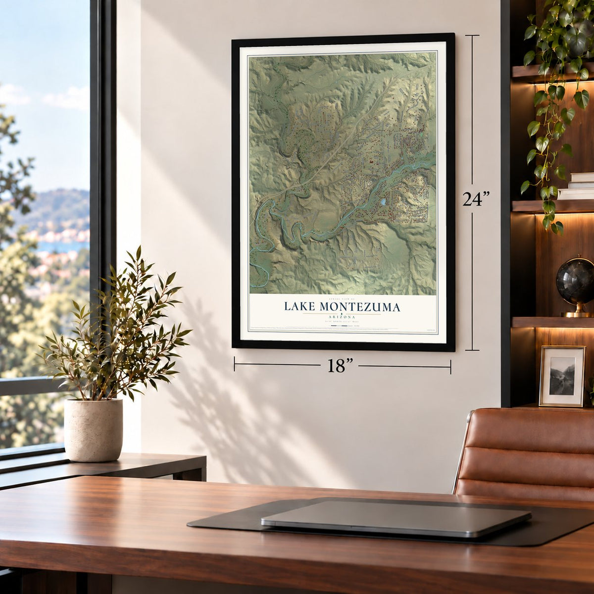
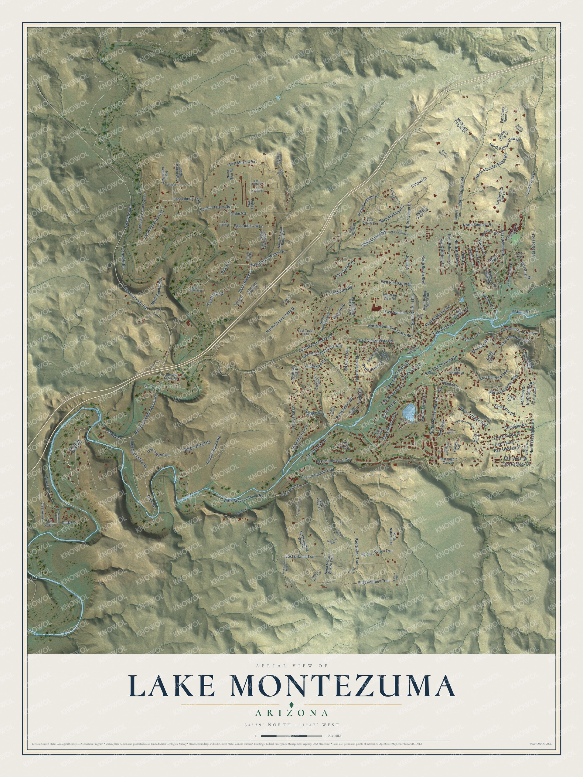
Lake Montezuma, Arizona Map Art
Building by building, with labeled streets and shaded relief.
12" x 18" Archival Matte Print
A Map of Home. A Work of Art.
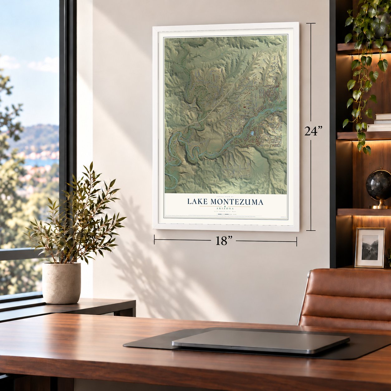
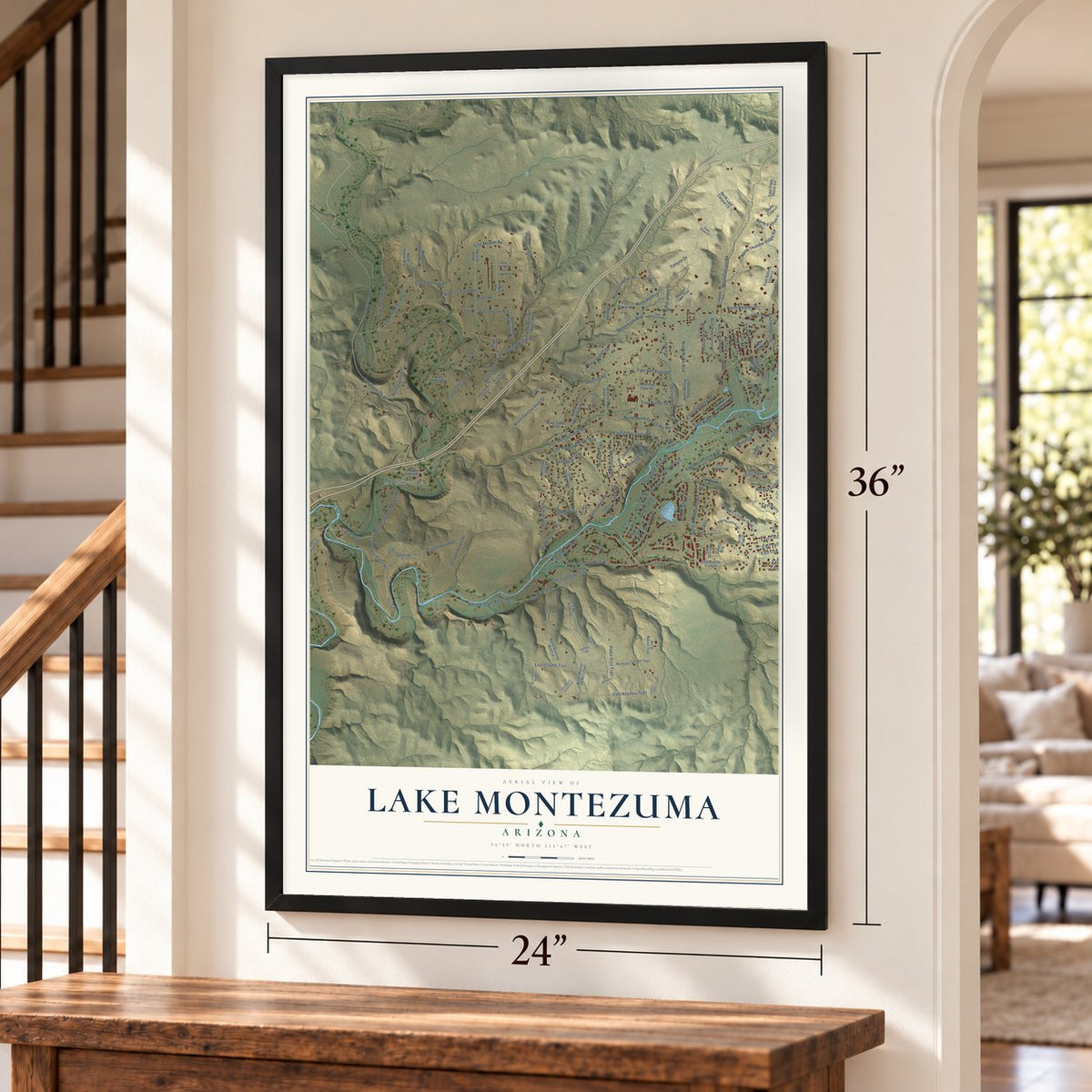
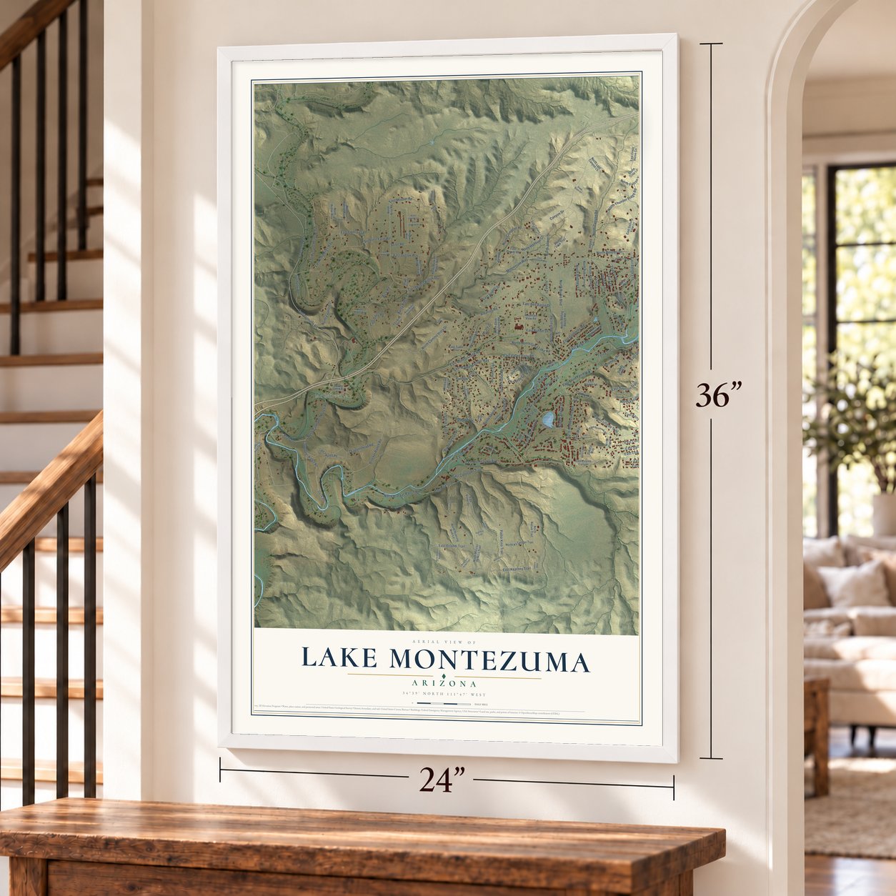
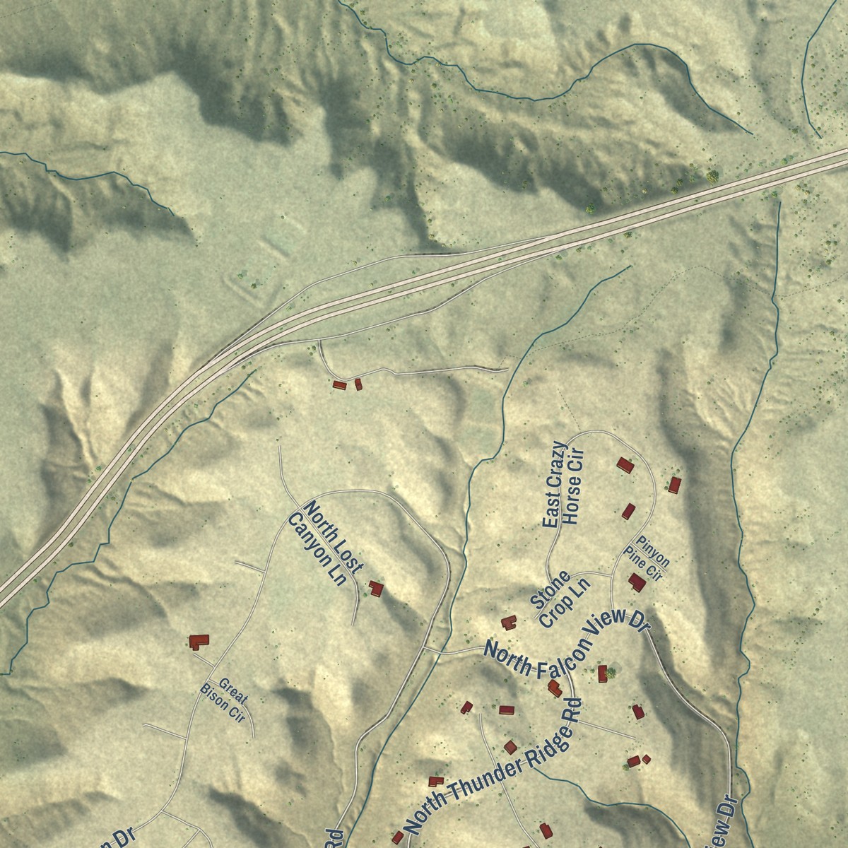
Explore Lake Montezuma, Arizona from a whole new perspective. Created using aerial imagery and detailed geographic data, this map captures Lake Montezuma building by building, with labeled streets, familiar landmarks, and shaded topographical relief that highlights the natural contours of the landscape.
Combining modern data with the timeless character of a vintage atlas, this map is just as interesting up close as it is beautiful on the wall. Whether you grew up in Lake Montezuma, spent memorable years there, or call it home today, this unique map is a great way to celebrate a place that means something to you. Zoom in on the preview to look for your street, and then order a print to put your memories on the wall.
Three ways to hang it
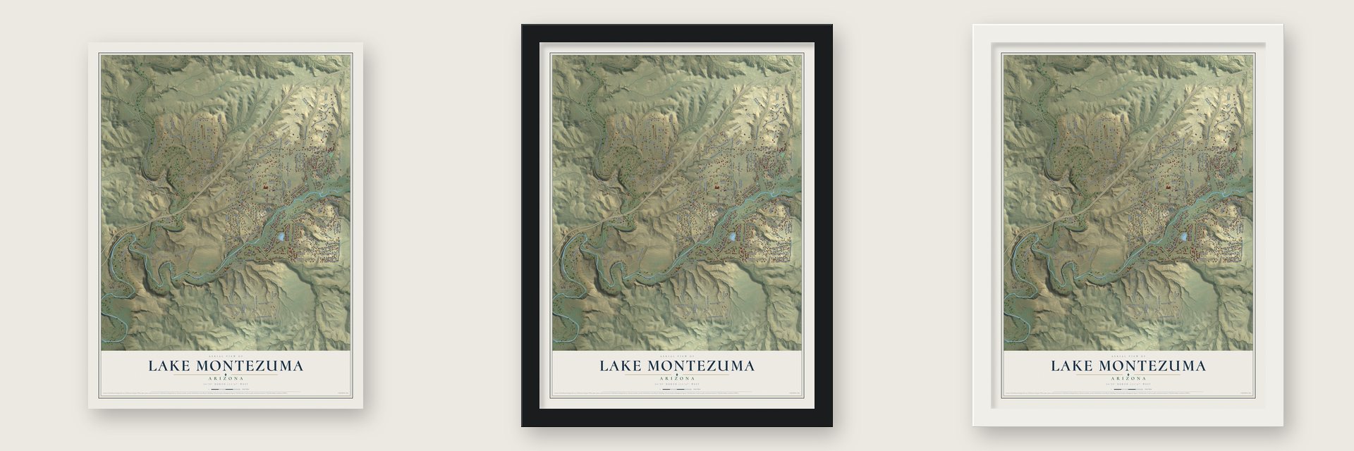
Unframed archival matte, a black wood frame or a white wood frame.
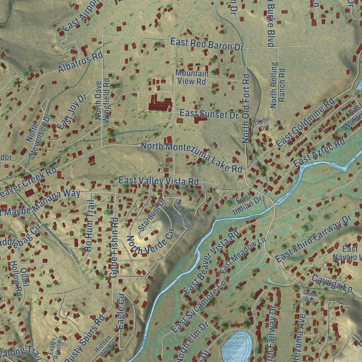
Up close
Geography Worth Displaying
This map was created using accurate cartographic data and authoritative geographic sources, including the U.S. Geological Survey and the Census Bureau. The map brings together terrain, waterways, roads, and building detail. The majority of the streets are labeled, houses are accurately depicted, and the topography is derived from government sources. Combining local data with carefully composed color and shading leads to this beautifully detailed Lake Montezuma artwork for your wall.
Rather than simply showing street outlines, we’ve included as many of the street names as we could reasonably fit on the map while keeping their names legible. Zoom in on the high resolution preview to see exactly what’s on the map. We truly set out to create a statement piece for anyone who loves Lake Montezuma. So whether it’s for you, or a gift for someone you love, we hope this map of Lake Montezuma brings back fond memories.
Read the story behind this map of Lake Montezuma, Arizona from 2026.
Find your street
Names on the Lake Montezuma map
Every name below is printed on this map. Look for your street, your school, the park where you played, or the pond down the road.
Places and landmarks1
- McGuireville
Streets and roads188
- North Montezuma Avenue
- Culpepper Ranch Road
- Dyck Road
- Reay Road
- North Forestglen Road
- Johnson Drive
- East Maybe Manana Way
- North Thunder Ridge Road
- North Brocket Ranch Road
- East Valley Vista Road
- North Canyon Road
- East Coronado Trail
- Gone Fishin Road
- Banty Ridge Lane
- East Redrock Drive
- East Beaver Creek Road
- East Deerrun Trail
- Bice Road
- Brocket Ranch Road
- East Cornville Road
- Forest 119 Road
- East Kearney Trail
- East Orlandi Trail
- East Beaver Vista Road
- East Bentley Drive
- North Bentley Drive
- East Cliffside Trail
- East Montezuma Avenue
- Canyon Drive
- Padre Kino Trail
Show all 188 streets
- East Mosher Road
- East Valley Lane
- East Airport Drive
- East Goldmine Road
- East Rimrock Drive
- Kramer Drive
- East Lakeshore Drive
- East Sycamore Lane
- North Valancius Way
- North Camino Vista Drive
- North Joann Drive
- Dragonshead Road
- East Deer Run Trail
- East Red Baron Drive
- Millennium Way
- Lazy Lariat Lane
- East Desert Willow Drive
- Tagalong Trail
- Falcon View Drive
- Albatros Road
- East Chipmunk Hollow
- East Aztec Road
- North Culpepper Ranch Road
- East Kimberlys Way
- North Verde Circle
- Seiler Road
- North Fairway Drive
- East Cochise Drive
- Eagle Circle
- East Goss Drive
- Pima Way
- North Kramer Drive
- Sunburst Farm Road
- North Old Fort Road
- North Falcon View Drive
- North Montezuma Lake Road
- East Outlaw Way
- Rusty Spurs Road
- North Brittney Lane
- East Third Fairway Drive
- Saddlebag Circle
- East Kerry Road
- North Burke Boulevard
- North Elm Drive
- North Emmord Drive
- East Cedar Drive
- Vicki Lane
- East Joy Drive
- Cornville Road
- East Liberty Trail
- East Oswego Street
- Beaver Lane
- Park Lane
- North Compton Place
- East Goss Road
- Towers Drive
- Ho Hum Trail
- Branding Iron Place
- Joann Drive
- Cayuga Lane
- Debbie Lane
- North Hanover Court
- Geronimo Road
- East Sunset Drive
- Laura Lane
- North Miller Road
- East Dairy Road
- East Beale Lane
- Tiemann Lane
- Roundup Road
- Aka Reay Road 2816
- North Lazy Lariat Lane
- Lavin Lane
- North Dave Wingfield Road
- East Park Lane
- East Drover Lane
- North Marcos de Niza Trail
- North Kit Carson Trail
- East Navajo Lane
- East Crazy Horse Circle
- Cross 2 Ranch Road
- East Mulcaire Meadows Road
- North Pine Drive
- Point of View Trail
- North Towers Drive
- Quail Hollow Road
- East Sedona View Lane
- East Yuma Drive
- North Robin Lynn Lane
- North Barbara Lane
- East Coyote Canyon
- North Running Wolf Lane
- East Waldron Road
- North Markiah Ranch Road
- Impala Lane
- East Meadow Lane
- North Rolling Ranch Road
- Stardust Drive
- Javalina Trail
- North Lazy Bones Trail
- East Violet Court
- North Lost Canyon Lane
- North Stevenson Drive
- North Native Trail
- North Patriot Way
- Caren Way
- Beaver Creek Road
- East Tudor Trail
- Crestview Drive
- North Cattle Call Trail
- Dakota Way
- Dandy Dude Drive
- Stone Crop Lane
- North Avatar Way
- Popies Way
- North Bice Road
- East Indian Drive
- Mountain View Road
- Forestglen Road
- East Geronimo Road
- East Camden Pass
- North Alchise Drive
- Monument Way
- Lightfoot
- Beaver Creek School Road
- Coach Road
- West Bista Bonita Road
- Semper Fi Drive
- Desert Pine Road
- Hidden Hollow
- Red Sand Boulevard
- East Juniper Drive
- Stagecoach Road
- East Wapiti Way
- East Bista Bonita
- Faith Marina Drive
- East Lupine Lane
- High Star Trail
- East Millennium Way
- East Seneca Lane
- Cll del Oro
- North Coconinino Trail
- North Antigua Way
- North High View Lane
- East Lakeside Drive
- North Prairie Bell Lane
- Eagles Roost Road
- North Fort Verde Trail
- Great Bison Circle
- East Catclaw Circle
- View Ridge Road
- Cochise Pass
- Woolsey Lane
- Dawson Way
- Sonora Pass
- Pinyon Pine Circle
- Marks Trail
- Creek Way
Names are listed as they appear on the printed map. Zoom into the product photos to find them.
About Lake Montezuma, Arizona
Lake Montezuma is a census-designated place of 5,111 people in Yavapai County, in the Verde Valley along Interstate 17. Ranchers and farmers first called the area Beaver Creek, after the stream where beavers were plentiful. Wales Arnold settled on the creek in 1870, the first to do so, at what became the Montezuma Well Ranch. He had come to Arizona with the California Column in the Civil War, left the Army in 1864, and ran a sutler's store at Camp Lincoln. He sold hay to the Army, grew the Verde Valley's first known alfalfa, and kept a station where mail riders changed horses.
The present name came around 1957, soon after crews built the Black Canyon Highway northward from Phoenix. Developers turned one of Rimrock's largest ranches into a subdivision they hoped to sell to buyers from out of state. Wanting an appealing name, they dug a pond below the old ranch house and called it Lake Montezuma, after nearby Montezuma Well National Monument.
- Rimrock since 1928In 1928 Virginia Finnie, a local rancher's daughter, married Romaine Lowdermilk, and with partner Russell Boardman they opened Rimrock Lodge, later Rimrock Dude Ranch. They named it for the limestone rims along the mesas. Guests flew in to stay, and the Rimrock Airport still operates.
- A post office on the ranchThe dude ranch's guests wanted their mail, so a post office opened there on July 11, 1928, with Ella Loudermilk as postmistress. Families from near Stoneman Lake to almost Camp Verde picked up their mail at the ranch, and the whole area came to carry the Rimrock name.
- A schoolhouse by 1879By 1879 enough children lived along Beaver Creek that Ed Mulholland began teaching them, the start of what became Beaver Creek School. That school is on the National Register, and the community is still served by the Beaver Creek School District.
- McGuireville in 1910Eugene McGuire and his son Gene homesteaded in 1910 where Dry Beaver Creek meets Wet Beaver Creek. The old road from Stoneman Lake forked there, one way toward Cornville, Cottonwood and Jerome, the other toward Camp Verde and Prescott. Their small store and gas station gave way to the Beaver Creek Store, which Midge Montgomery opened in 1931.
- Sinagua water worksNear Lawrence Crossing on Wet Beaver Creek, the ancient Sinagua people left artifacts behind, among them water catchments that fed their irrigation canals.
Keep exploring Arizona
Lake Montezuma is one of 528 Arizona towns we've mapped. Every dot on the map is a print of its own.
The search covers every state, Arizona first.
Near Lake Montezuma
Order 2 or more town maps and save 10%. Shown in the size and finish you picked above, so they hang as a set.
- Camp Verde 12" x 18" / Archival Matte Print $39.99
- Yavapai-Apache Nation 12" x 18" / Archival Matte Print $39.99
- Cornville 12" x 18" / Archival Matte Print $39.99
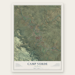
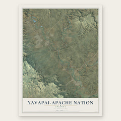
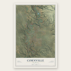
More maps nearby: Village of Oak Creek, Verde Village, Cottonwood, Red Rock and Sedona.
The art of mapping a place
How This Map Was Made
Real places. Remarkable detail. Discover the layers that turn geographic data into a map of home.

The view from above
Aerial imagery reveals the character of the land: woodland, open fields, and the patterns of a place.

The shape of the land
Elevation data brings hills, valleys, and subtle changes in the landscape into view.

The details of home
Roads, waterways, and building footprints come together to make the map feel unmistakably local.

Geography becomes art
Considered color, shading, and typography bring the layers together in a map made for your wall.


Process illustrated with Mendon, Massachusetts. Aerial imagery: USDA NAIP. Terrain: USGS 3D Elevation Program. Map details and finished artwork: KNOWOL.
The Details
About This Print
Choose an archival matte print, or a black or white Ayous wood frame. The archival matte print is unframed.
Select your size and finish above to see the matching product image and price.
Materials & Craftsmanship
A contemporary map with the character of a classic atlas, printed on archival matte paper. Optional frames are made from Ayous wood.
Your printed map does not include the watermark shown in the full-map preview.
Shipping & Delivery
Free shipping within the United States. Every print is made to order in the USA.
Buying a gift? Add a note in your cart and we'll include it. We never put prices in the package.
Prints ship within 2 to 3 business days. Allow 7 to 10 days total from ordering for delivery. Timing may vary during holidays or periods of high order volume.
Read our shipping policy.
Returns and damaged prints
Each print is made to order. Change-of-mind refunds are not available after production.
If your print arrives damaged, misprinted or incorrect, contact support@knowol.com within 30 days of receiving it. Include your order number, photos and a description of the issue.
Read our full refund and replacement policy. For questions about your order, email support@knowol.com.