
Search for another town




Free U.S. delivery 7 to 10 days after you order
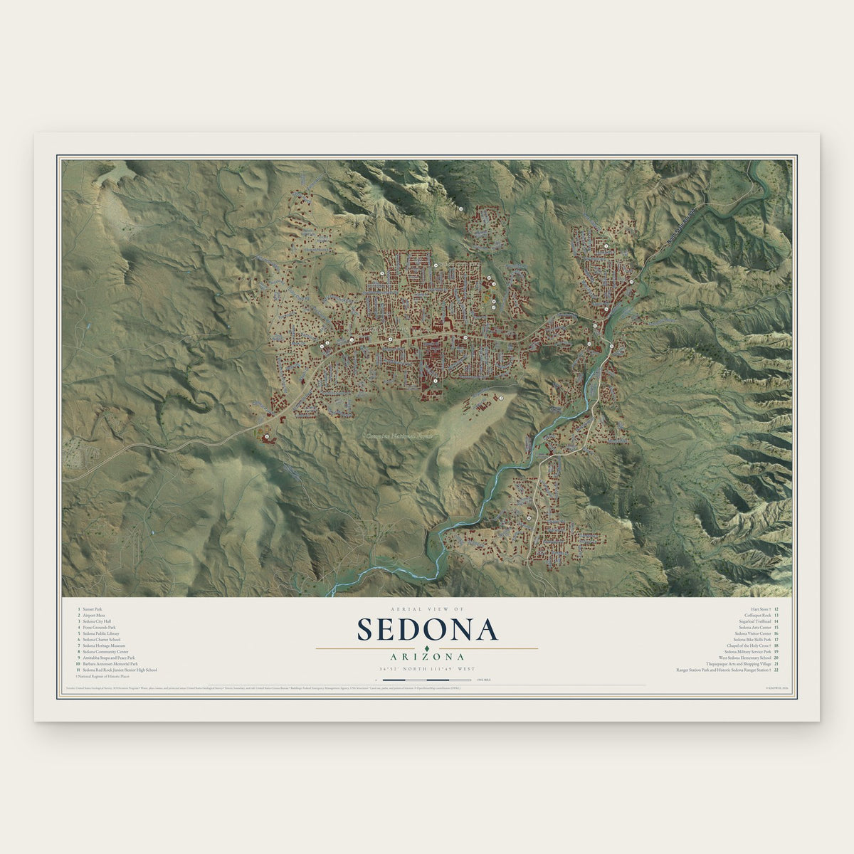
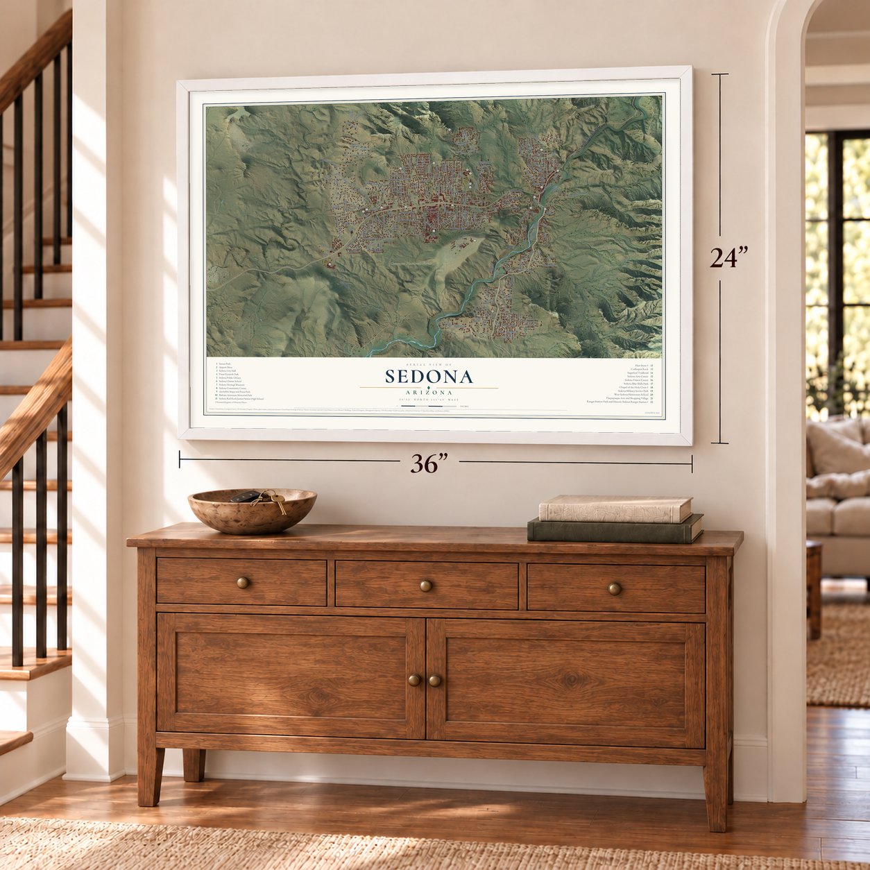
Sedona, Arizona Map Art
Building by building, with labeled streets and shaded relief.
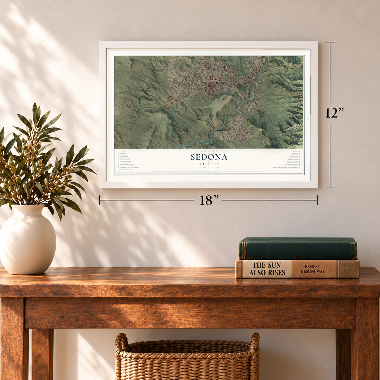
12" x 18" Archival Matte Print
A Map of Home. A Work of Art.
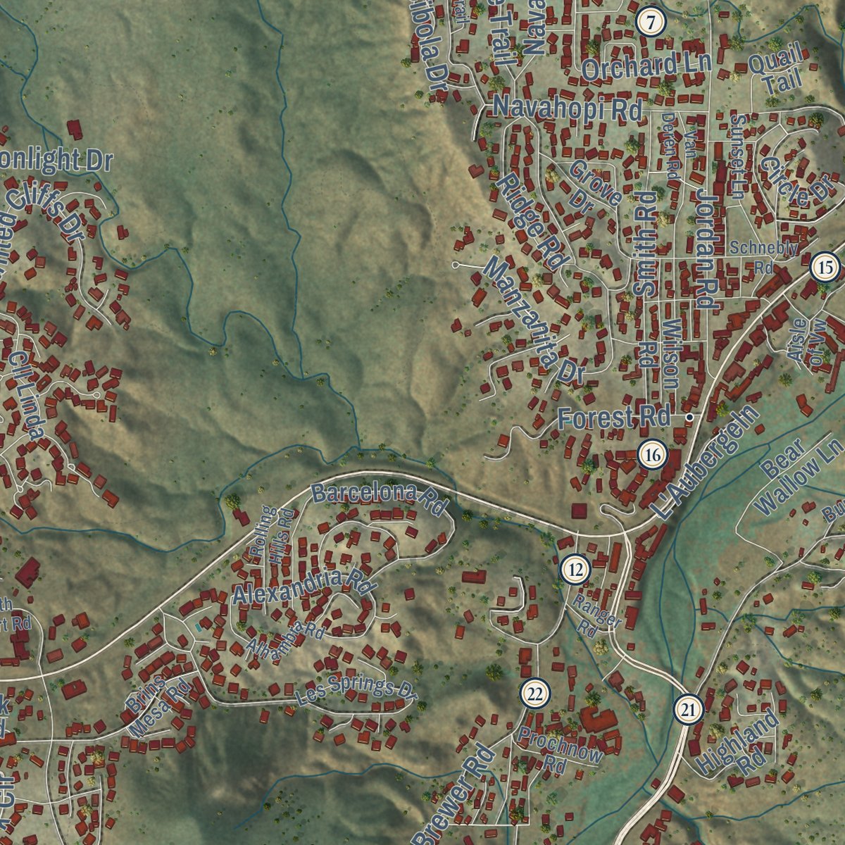
Explore Sedona, Arizona from a whole new perspective. Created using aerial imagery and detailed geographic data, this map captures Sedona building by building, with labeled streets, familiar landmarks, and shaded topographical relief that highlights the natural contours of the landscape.
Combining modern data with the timeless character of a vintage atlas, this map is just as interesting up close as it is beautiful on the wall. Whether you grew up in Sedona, spent memorable years there, or call it home today, this unique map is a great way to celebrate a place that means something to you. Zoom in on the preview to look for your street, and then order a print to put your memories on the wall.

Three ways to hang it
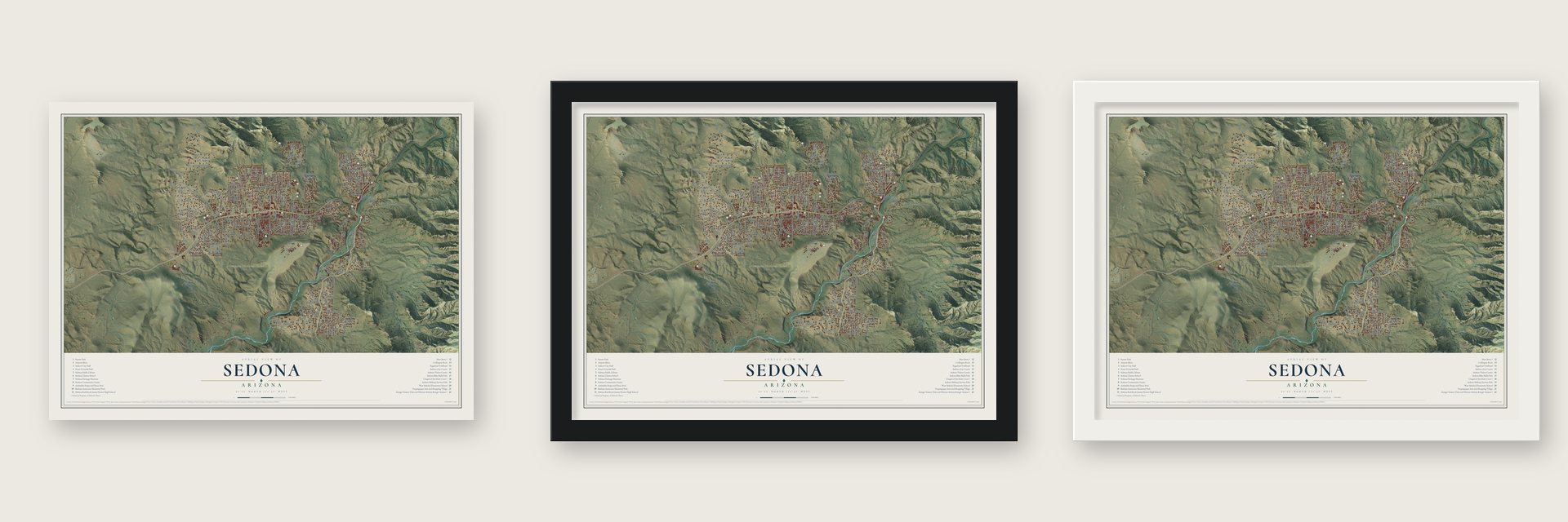
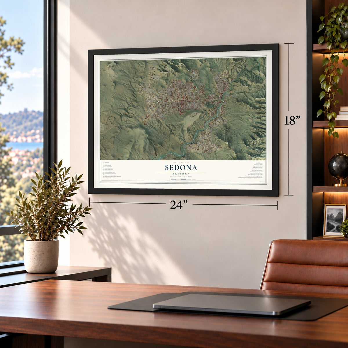
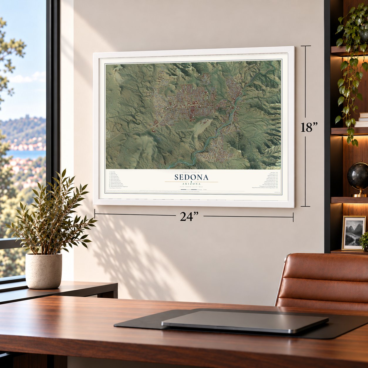
Unframed archival matte, a black wood frame or a white wood frame.
Up close
Geography Worth Displaying
This map was created using accurate cartographic data and authoritative geographic sources, including the U.S. Geological Survey (USGS) and FEMA. The map brings together terrain, waterways, roads, and building detail. The majority of the streets are labeled, houses are accurately depicted, and the topography is derived from government sources. Combining local data with carefully composed color and shading leads to this beautifully detailed Sedona artwork for your wall.
Rather than simply showing street outlines, we’ve included as many of the street names as we could reasonably fit on the map while keeping their names legible. Zoom in on the high resolution preview to see exactly what’s on the map. We truly set out to create a statement piece for anyone who loves Sedona. So whether it’s for you, or a gift for someone you love, we hope this map of Sedona brings back fond memories.
Explore the full map of Sedona, Arizona and read about the local places it shows.
Find your street
Names on the Sedona map
Every name below is printed on this map. Look for your street, your school, the park where you played, or the pond down the road.
Places and landmarks3
- Sedona City Hall
- West Sedona
- Coconino National Forest
Streets and roads198
- Saddlerock Circle
- Dry Creek Road
- Pine Drive
- Bristlecone Pines Road
- Brewer Road
- Schnebly Hill Road
- Airport Road
- Rodeo Road
- Andante Drive
- Kachina Drive
- Thunder Mountain Road
- Scenic Drive
- Cam del Caballo
- Navoti Drive
- Shelby Drive
- Mountain Shadows Drive
- Chapel Road
- Park Ridge Drive
- Acacia Drive
- Jordan Road
- Sunset Drive
- Juniper Drive
- El Camino Road
- Harmony Drive
- Coffee Pot Drive
- Panorama Boulevard
- Cultural Park Place
- Foothills South Drive
- Oak Creek Boulevard
- Sanborn Drive
Show all 198 streets
- Skyline Drive
- Apache Trail
- Road Runner Road
- Windsong Drive
- Color Cove Road
- Whippet Way
- Cll del Montana
- Morgan Road
- Smith Road
- Sunshine Lane
- Painted Cliffs Drive
- Antelope Drive
- Last Wagon Drive
- Northview Road
- Bowstring Drive
- Manzanita Drive
- Ridge Road
- View Drive
- Badger Drive
- Mission Road
- Farmer Brothers Drive
- West Gunsmoke Road
- Birch Boulevard
- El Camino Real
- Forest Road
- Orchard Lane
- Fox Road
- Pinon Drive
- Navahopi Road
- Linda Vis
- Moonlight Drive
- Navajo Trail
- Garnet Hill Drive
- Lake Drive
- San Miguel Drive
- Rufous Lane
- Cline Road
- Moki Drive
- Cibola Drive
- Stardust Lane
- Yucca Drive
- L'Aubergeln
- Ruby Drive
- Vultee Arch
- Starlite Drive
- Kallof Place
- Gambel Lane
- Moeur Street
- Arroyo Pinon Drive
- Elk Road
- Soldier Pass Road
- Upper Red Rock Loop Road
- Barcelona Road
- Posse Ground Road
- Canyon Drive
- Elysian Drive
- Oak Creek Cliffs Drive
- Shadow Rock Drive
- Carol Canyon Drive
- Spirit Trail
- Woodland Drive
- Hozoni Drive
- Arrow Drive
- Ross Road
- Zane Grey Drive
- Blue Horizon Road
- Bear Wallow Lane
- Goodrow Lane
- Cathedral Rock Trail
- Cll Linda
- Circle Drive
- Mule Deer Road
- East Mallard Drive
- Lizard Head Lane
- Chimney Rock Lane
- Copper Cliffs Drive
- Hohokam Drive
- Hanger Road
- Fawn Drive
- Table Top Road
- Top Knot Drive
- Rolling Drive
- Paisano Road
- North Slopes Drive
- Wilson Road
- Racquet Road
- White Bear Road
- Sierra Road
- Juniper Trail
- Alexandria Road
- Canyon Wren Drive
- Highland Road
- Stations West Drive
- Lariat Road
- Creek View Circle
- Cougar Drive
- Grounds Drive
- Blue Jay Drive
- Cll del Sol
- Little Scout Lane
- Essex Avenue
- Lewis Way
- Quail Track
- Soldiers Pass Road
- Quail Tail
- Copper Cliffs Lane
- Dove Wing Drive
- Caswell Drive
- Kiva Drive
- Grove Drive
- Lisa Lane
- Saddle Rock Lane
- South Monte Verde Drive
- Brins Mesa Road
- Les Springs Drive
- El Camino Tesoros
- El Camino Grande
- Cathedral Lane
- Page Parkway
- Geneva Drive
- Siesta Way
- Sugar Loaf Drive
- Casa la Courta Road
- Sunset Lane
- Cll del Norte
- Sombart Lane
- Ranch Road
- Southwest Drive
- Boynton Pass Road
- Edgewood Drive
- Laurel Spr
- Prochnow Road
- Javalina Trail
- Red Hawk Lane
- Forest Lane
- Burrus Lane
- Garvey Street
- Aisle of Vw
- Chavez Crossing Road
- Coronado Trail
- Schnebly Road
- Sky Line Drive
- Alhambra Road
- Indian Cliffs Road
- Rockridge Drive
- Willow Way
- Van Deren Road
- Madole Road
- Roadrunner Drive
- Chimney Rock Trail
- North Airport Road
- Doodlebug Road
- Arts Village Drive
- Vista Montana Road
- Universal Drive
- Stanley Steamer Drive
- Silverleaf Drive
- Topkie Drive
- Lyric Drive
- Cll del Arroyo
- Rolling Hills Road
- Saddle Rock Circle
- Tranquil Avenue
- Vista Bonita Drive
- Windmill Drive
- Ranger Road
- Vista Drive
- Pyle Street
Names are listed as they appear on the printed map. Zoom into the product photos to find them.
About Sedona, Arizona
Sedona is a city of 9,684 people in the northern Verde Valley, split by the line between Coconino and Yavapai counties. The Sinagua lived in the region from about 600 until about 1400, and later the Yavapai and Apache made homes along Oak Creek Canyon. When John James Thompson settled in the canyon in 1876, he found an old garden still producing crops and named it the Indian Gardens.
Settlers farmed and ranched along the creek, which became known for its peaches and apples. Theodore Carlton Schnebly and his wife, Sedona, arrived from Missouri, bought 80 acres by the water and took in guests for no more than $1 a day. When Theodore asked to become postmaster, Washington rejected "Oak Creek Crossing" as too long, so his brother Ellsworth proposed Sedona's own name. It was approved on June 26, 1902, for a post office serving 55 residents, and the community incorporated as a city in 1988.
“Nature has done everything here. All we have to do is understate.”
- A chapel in the red rockMarguerite Brunswig Staude, a local rancher and sculptor, took the idea from the new Empire State Building in 1932. Senator Barry Goldwater helped win her a permit for national forest land. Builders spent 18 months without dynamite, shaping the chapel around a 90-foot iron cross in its structure, and finished in 1956.
- Sedona's first real storeL. E. Hart opened the Hart Store on Brewer Road in 1926. It sold fruit from the Oak Creek orchards and supplies for tourists, pumped gas by gravity and had the first commercial electricity in town. The building is now on the National Register.
- Hollywood's stand-in WestFrom 1923 into the 1970s, more than sixty Hollywood productions filmed among the red rocks, among them Broken Arrow, Johnny Guitar, 3:10 to Yuma and Angel and the Badman. Audiences rarely knew it, because the films usually passed the scenery off as Texas, California, Nevada or even the Canadian border.
- Max Ernst's cottageThe surrealist Max Ernst built a small cottage by hand along Brewer Road. He married the painter Dorothea Tanning in 1946, and the couple then settled in Sedona. Here Ernst put together a book and finished his sculpture Capricorn, drawing the art world's attention to a place of fewer than 100 people.
- The only blue archesIn 1993 city officials refused to let McDonald's use its yellow M, worried it would clash with the red rock. The council accepted the company's first replacement color, blue, and of more than 41,000 franchises, Sedona's is the only one with blue arches.
Keep exploring Arizona
Sedona is one of 524 Arizona towns we've mapped. Every dot on the map is a print of its own.
The search covers every state, Arizona first.
Near Sedona
Order 2 or more town maps and save 10%. Shown in the size and finish you picked above, so they hang as a set.
- Red Rock 12" x 18" / Archival Matte Print $39.99
- Village of Oak Creek 12" x 18" / Archival Matte Print $39.99
- Oak Creek Canyon 12" x 18" / Archival Matte Print $39.99

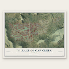
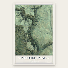
More maps nearby: Cornville, Munds Park, Verde Village, Lake Montezuma and Yavapai-Apache Nation.
The art of mapping a place
How This Map Was Made
Real places. Remarkable detail. Discover the layers that turn geographic data into a map of home.

The view from above
Aerial imagery reveals the character of the land: woodland, open fields, and the patterns of a place.

The shape of the land
Elevation data brings hills, valleys, and subtle changes in the landscape into view.

The details of home
Roads, waterways, and building footprints come together to make the map feel unmistakably local.

Geography becomes art
Considered color, shading, and typography bring the layers together in a map made for your wall.


Process illustrated with Mendon, Massachusetts. Aerial imagery: USDA NAIP. Terrain: USGS 3D Elevation Program. Map details and finished artwork: KNOWOL.
The Details
About This Print
Choose an archival matte print, or a black or white Ayous wood frame. The archival matte print is unframed.
Select your size and finish above to see the matching product image and price.
Materials & Craftsmanship
A contemporary map with the character of a classic atlas, printed on archival matte paper. Optional frames are made from Ayous wood.
Your printed map does not include the watermark shown in the full-map preview.
Shipping & Delivery
Free shipping within the United States. Every print is made to order in the USA.
Buying a gift? Add a note in your cart and we'll include it. We never put prices in the package.
Prints ship within 2 to 3 business days. Allow 7 to 10 days total from ordering for delivery. Timing may vary during holidays or periods of high order volume.
Read our shipping policy.
Returns and damaged prints
Each print is made to order. Change-of-mind refunds are not available after production.
If your print arrives damaged, misprinted or incorrect, contact support@knowol.com within 30 days of receiving it. Include your order number, photos and a description of the issue.
Read our full refund and replacement policy. For questions about your order, email support@knowol.com.