
Search for another town
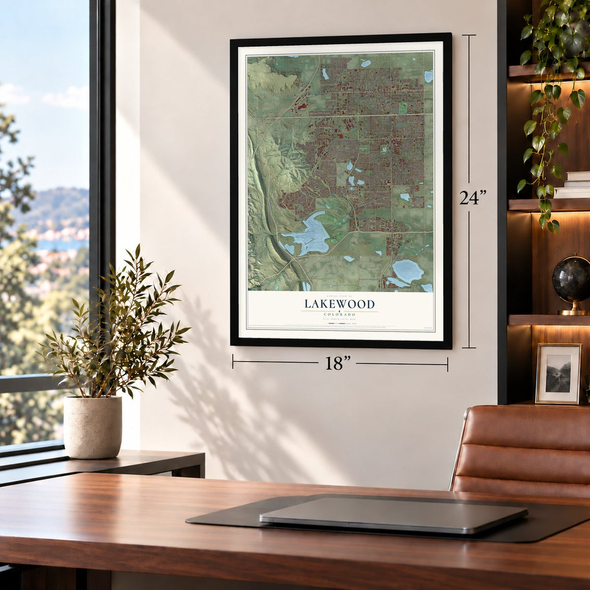
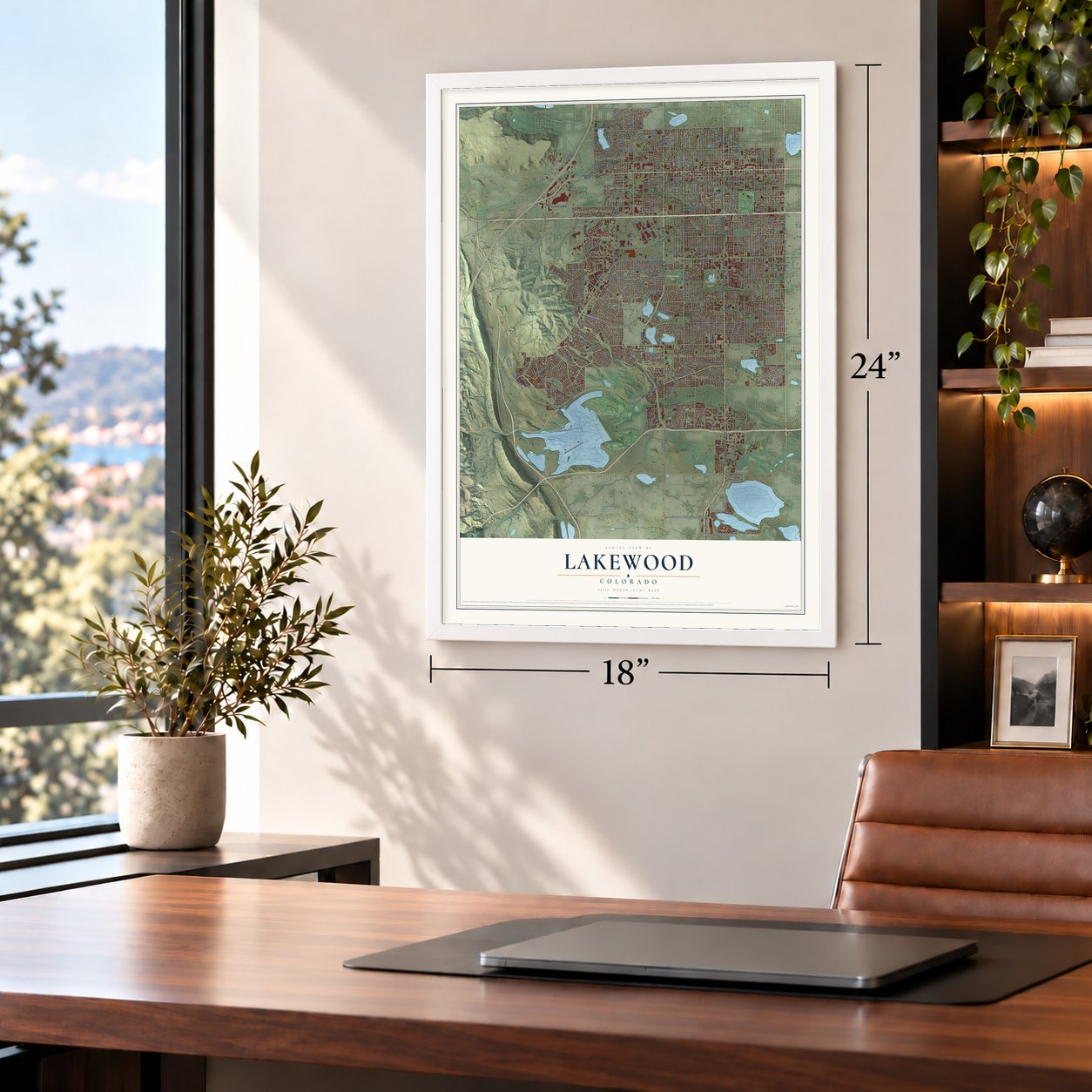
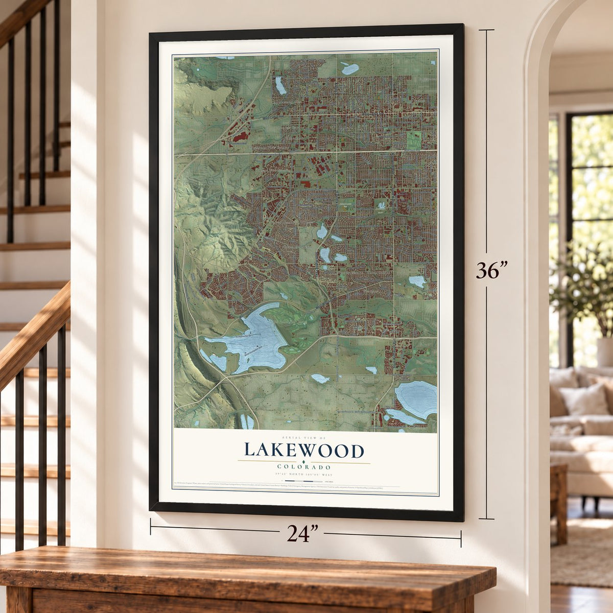
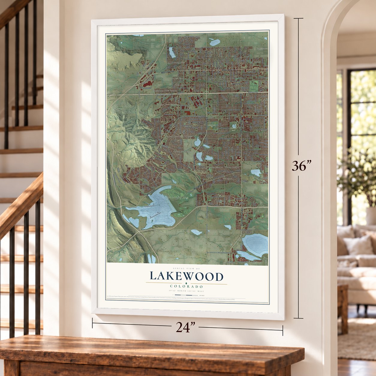
Free U.S. delivery 7 to 10 days after you order
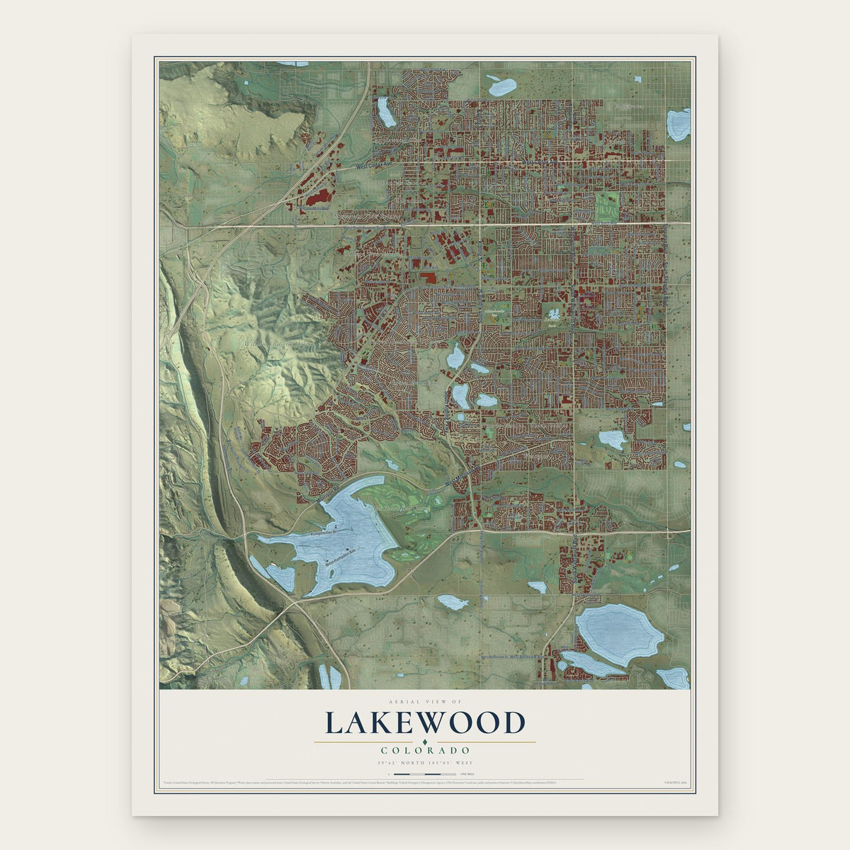
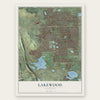
Lakewood, Colorado Map Art
Building by building, with labeled streets and shaded relief.
12" x 18" Archival Matte Print
A Map of Home. A Work of Art.
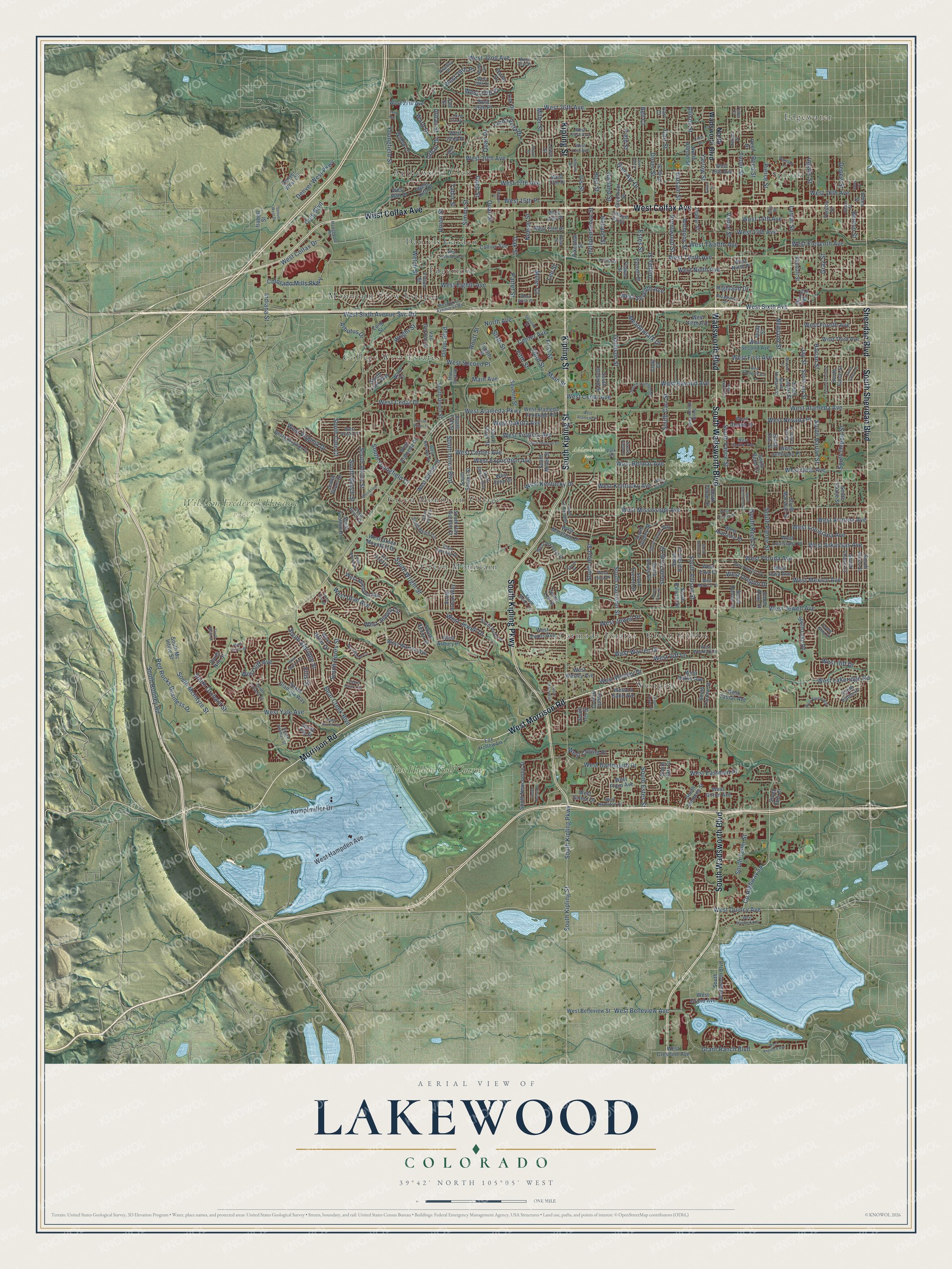
Explore Lakewood, Colorado from a whole new perspective. Created using aerial imagery and detailed geographic data, this map captures Lakewood building by building, with labeled streets, familiar landmarks, and shaded topographical relief that highlights the natural contours of the landscape.
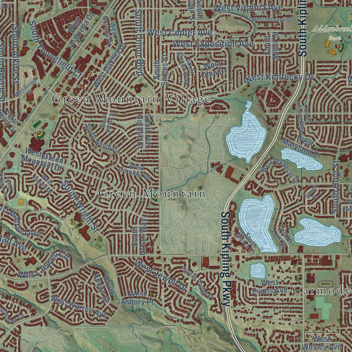
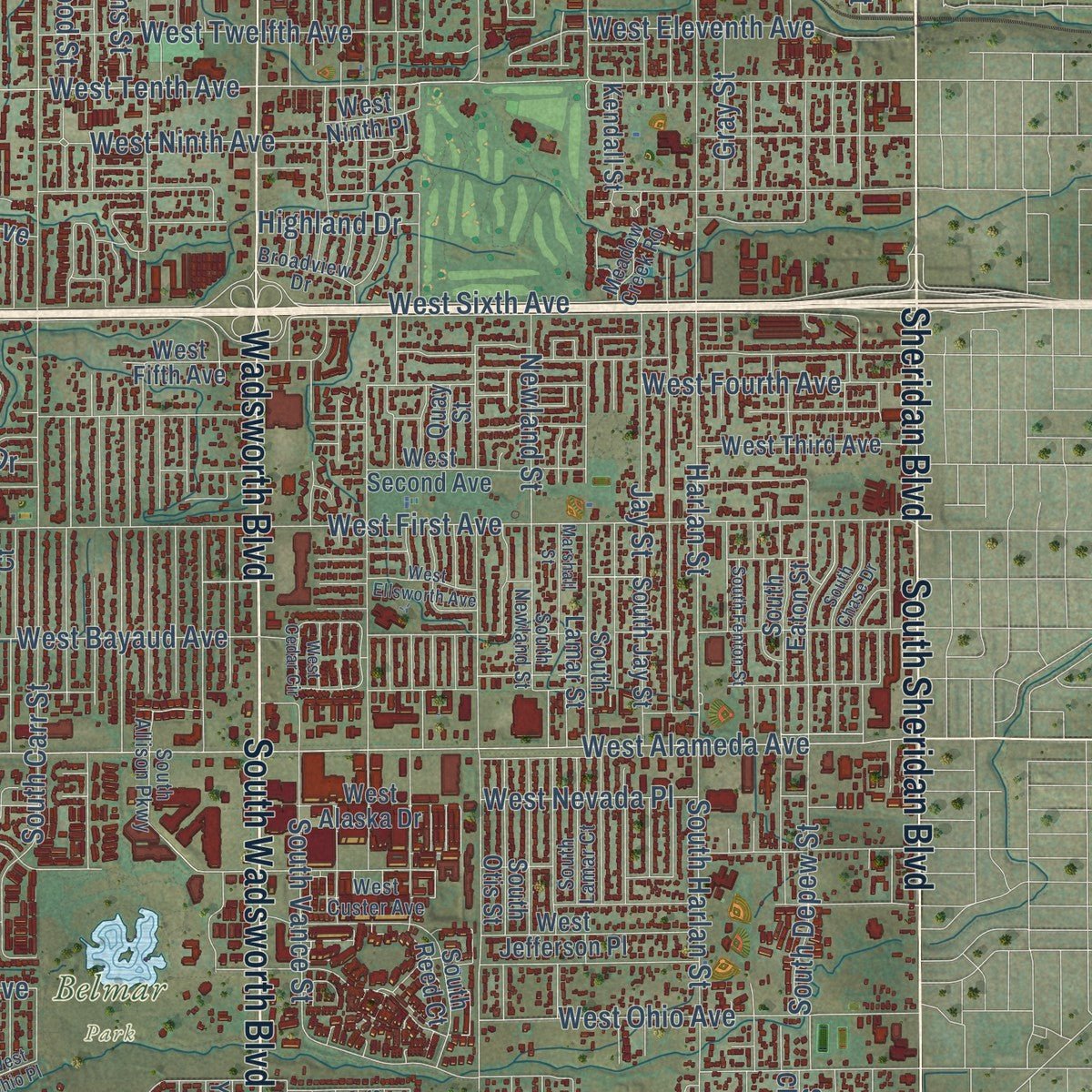
Combining modern data with the timeless character of a vintage atlas, this map is just as interesting up close as it is beautiful on the wall. Whether you grew up in Lakewood, spent memorable years there, or call it home today, this unique map is a great way to celebrate a place that means something to you. Zoom in on the preview to look for your street, and then order a print to put your memories on the wall.
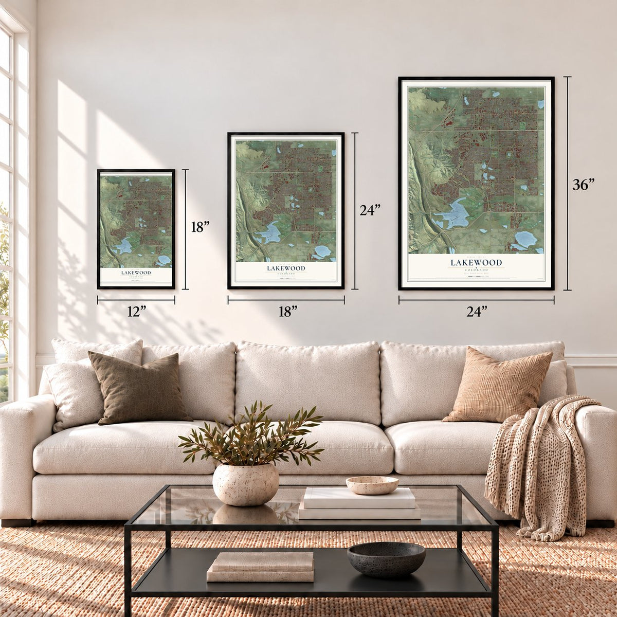
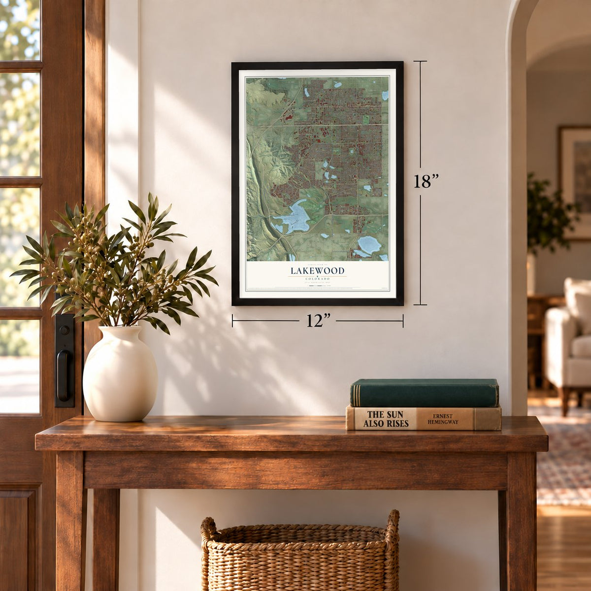
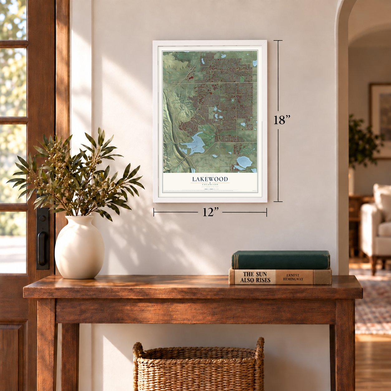
Three ways to hang it
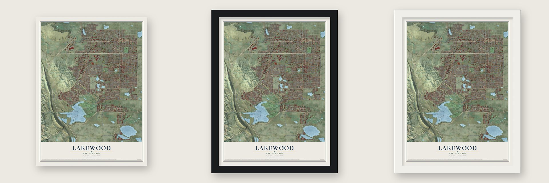
Unframed archival matte, a black wood frame or a white wood frame.
Up close
Geography Worth Displaying
This map was created using accurate cartographic data and authoritative geographic sources, including the U.S. Geological Survey and the Census Bureau. The map brings together terrain, waterways, roads, and building detail. The majority of the streets are labeled, houses are accurately depicted, and the topography is derived from government sources. Combining local data with carefully composed color and shading leads to this beautifully detailed Lakewood artwork for your wall.
Rather than simply showing street outlines, we’ve included as many of the street names as we could reasonably fit on the map while keeping their names legible. Zoom in on the high resolution preview to see exactly what’s on the map. We truly set out to create a statement piece for anyone who loves Lakewood. So whether it’s for you, or a gift for someone you love, we hope this map of Lakewood brings back fond memories.
Read the story behind this map of Lakewood, Colorado from 2026.
Find your street
Names on the Lakewood map
Every name below is printed on this map. Look for your street, your school, the park where you played, or the pond down the road.
Places and landmarks16
- Addenbrooke Park
- Belmar Park
- William Frederick Hayden Park
- Applewood Glen
- Carmody Estates
- College West Estates
- Daniels Garden
- Edgemont
- Edgewater
- Green Gables
- Green Mountain
- Green Mountain Village
Show all 16 places
- Mountain View Estates
- Spivak
- Westgate
- Fox Hollow Golf Course
Streets and roads371
- South Wadsworth Boulevard
- Morrison Road
- West Morrison Road
- West Colfax Avenue
- South Kipling Parkway
- Kipling Street
- South Sheridan Boulevard
- Wadsworth Boulevard
- South Kipling Street
- Sheridan Boulevard
- West Yale Avenue
- West Utah Avenue
- West Quincy Avenue
- West Belleview Avenue
- South McIntyre Street
- County Highway 59
- West Alameda Parkway
- South Pierce Street
- South Garrison Street
- West Alameda Avenue
- Garrison Street
- West Florida Avenue
- West 14th Avenue
- Balsam Street
- West 15th Place
- Grant Ranch Boulevard
- Urban Drive
- West Jewell Avenue
- West Sixth Avenue
- West Hampden Avenue
Show all 371 streets
- West 13th Avenue
- West Eighth Avenue
- West 20th Avenue
- West Mississippi Avenue
- West Virginia Avenue
- West 26th Avenue
- West Tenth Avenue
- South Estes Street
- Kumpfmiller Drive
- West First Avenue
- West Center Avenue
- West Iliff Avenue
- West Bayaud Avenue
- Simms Street
- West Louisiana Avenue
- West Ohio Avenue
- West 17th Avenue
- Carr Street
- Allison Street
- West Mexico Avenue
- South Carr Street
- West Sixth Avenue Svc Road
- South Union Boulevard
- West Kentucky Avenue
- West Fourth Avenue
- West Dakota Avenue
- South Harlan Street
- West Kentucky Drive
- West Warren Drive
- West Seventh Avenue
- Teller Street
- South Hoyt Street
- Harlan Street
- South Rooney Road
- South Depew Street
- South Teller Street
- West Arizona Avenue
- West Ninth Avenue
- Oak Street
- Estes Street
- South Wright Street
- Brentwood Street
- South Cody Street
- West 16th Avenue
- Quail Street
- South Allison Street
- Garland Street
- Reed Street
- Hoyt Street
- West Second Place
- West Eleventh Avenue
- West Twelfth Avenue
- Vance Street
- Routt Street
- Independence Street
- Pierce Street
- Miller Street
- Dudley Street
- Ingalls Street
- West Exposition Avenue
- West Virginia Drive
- South Vance Street
- South Reed Street
- Depew Street
- West Arkansas Avenue
- Youngfield Street
- Jay Street
- West Cedar Avenue
- Field Street
- West Lakeridge Road
- South Youngfield Court
- West Iliff Drive
- Dover Street
- Bear Creek Boulevard
- South Alkire Street
- West Dartmouth Place
- Urban Street
- Union Street
- South Beech Street
- Holland Street
- Yarrow Street
- Colorado Mills Parkway
- Lee Street
- Red Rocks Business Drive
- West Cedar Drive
- Nelson Street
- Benton Street
- Iris Street
- Ammons Street
- Arbutus Drive
- West 32nd Avenue
- Tabor Street
- Lamar Street
- West Eastman Place
- West Jewell Place
- West Nevada Place
- West Wesley Drive
- Center Avenue
- Denver West Parkway
- Cole Boulevard
- West Cornell Place
- Newland Street
- South Eldridge Street
- North Avenue
- Robb Street
- Main Avenue
- Indiana Street
- Miller Court
- South Cole Court
- Gray Street
- West Jewell Drive
- West Jewell Circle
- Parfet Street
- Sixth Street
- Union Boulevard
- Wright Street
- West Iliff Lane
- Fifth Street
- West Oregon Drive
- West Colfax Drive
- Third Street
- Welch Street
- South Orchard Street
- South Coors Street
- Linda Vista Drive
- Glen Ayr Drive
- Meadowlark Drive
- Bell Court
- First Street
- West Belmar Avenue
- Ellis Street
- West 29th Place
- Highland Drive
- Ward Drive
- West 27th Place
- Quail Drive
- Main Street
- North Wadsworth Boulevard
- West Warren Avenue
- West Belleview Street
- West Vassar Avenue
- West Evans Avenue
- West 16th Place
- Seventh Street
- South Ammons Street
- South Balsam Street
- South Eaton Street
- South Dudley Street
- West Fifth Avenue
- South Yarrow Street
- West Second Avenue
- West Wesley Avenue
- South Lamar Street
- South Ames Street
- Van Gordon Street
- South Marshall Street
- West Iowa Avenue
- Kendall Street
- South Jay Street
- South Chase Street
- South Van Gordon Court
- Fox Hollow Lane
- South Holland Street
- West Grand Avenue
- South Upham Street
- West Dakota Drive
- West Green Mountain Drive
- West Asbury Place
- South Everett Street
- Cody Street
- West Floyd Avenue
- South Reed Court
- West Baker Avenue
- West Alaska Drive
- Willow Lane
- West Alameda Drive
- South Taft Street
- Fenton Street
- South Gladiola Way
- Zephyr Street
- South Miller Street
- West Alameda Frontage Road
- West Ohio Drive
- South Otis Street
- South Fig Street
- South Lee Street
- South Yukon Street
- South Simms Street
- West La Salle Avenue
- South Foothill Drive
- Everett Street
- West 19th Avenue
- West Third Avenue
- Vivian Street
- South Newcombe Street
- West 27th Avenue
- Ames Street
- South Quail Street
- West Iowa Drive
- West Girton Drive
- Eighth Street
- West Maryland Drive
- South Urban Way
- South Balsam Court
- Lewis Street
- Zang Street
- West Alabama Drive
- North Allison Street
- West Montana Avenue
- South Dover Court
- South Iris Street
- Quay Street
- South Coors Drive
- South Otis Court
- South Hoyt Court
- South Chase Court
- West 22nd Place
- South Mc Intyre Street
- South Quay Street
- South Yank Way
- West Louisiana Place
- Denver West Circle
- West Jefferson Place
- West 14th Place
- Cody Court
- West Baltic Drive
- South Xenon Street
- West 16th Drive
- South Lake Road
- West 13th Place
- West Girton Avenue
- Collins Avenue
- Flower Street
- South Union Street
- West Ninth Place
- West Crestline Avenue
- Oak Drive
- South Nile Street
- Taft Street
- West 26th Place
- Glenmoor Drive
- West 17th Place
- South Eaton Place
- South Carr Court
- Ward Court
- Isabell Street
- Parfet Drive
- Village Parkway
- Pikeview Street
- Reed Drive
- Carr Court
- South Indiana Street
- West 21st Avenue
- West Exposition Drive
- West 23rd Avenue
- South Welch Circle
- South Newland Street
- Upham Street
- South Dover Way
- West Woodard Drive
- West Sixth Place
- Chase Street
- South Field Court
- South Parfet Drive
- Second Street
- West Mexico Place
- West Iowa Place
- South Holman Street
- West Alaska Place
- West Hamilton Drive
- South Gray Drive
- South Campus Drive
- West 28th Place
- West Arkansas Drive
- South Coors Court
- Otis Street
- Kline Street
- South Allison Parkway
- South Lamar Court
- Healing Way
- Tabor Drive
- Robb Circle
- West 31st Place
- West Carolina Drive
- South Moore Court
- Meadow Creek Road
- South Queen Way
- West Nevada Drive
- West Sixth Avenue Ft Road
- West Custer Avenue
- Broadview Drive
- South Beech Drive
- Hawthorne Road
- Swadley Drive
- Park Road
- Teller Court
- West Ellsworth Avenue
- West 25th Avenue
- South Fenton Street
- West Florida Drive
- West Ohio Place
- West Glennon Drive
- South Saulsbury Street
- South Zephyr Street
- South Dover Street
- West Cornell Avenue
- West Arizona Place
- Yukon Street
- Moore Street
- West Warren Circle
- West Vassar Way
- South Johnson Way
- Marshall Street
- West Baltic Avenue
- West Calahan Avenue
- South Vivian Street
- West Evans Place
- South Cape Street
- South Urban Street
- Glen Dale Drive
- West Cedar Circle
- West Prentice Avenue
- South Lewis Way
- Newland Court
- Pierson Street
- West Katherine Avenue
- West Stanford Avenue
- Jellison Street
- South Arbutus Place
- South Cole Street
- Mississippi Court
- West Alameda Place
- Lombardy Lane
- South Nelson Court
- South Chase Drive
- Denver West Drive
- Crest Drive
- South Moss Street
- Ames Court
- Hawaii Drive
- 26th Avenue
Names are listed as they appear on the printed map. Zoom into the product photos to find them.
About Lakewood, Colorado
Lakewood is a city of 155,984 people in Jefferson County, just west of Denver, and the largest city in its county. The Ute people lived in this region long before settlers arrived. In 1889 Charles Welch and W.A.H. Loveland platted 13 blocks along Colfax Avenue, and Loveland, once president of the Colorado Central Railroad, left Golden to retire in the new community. A post office named Lakewood opened on April 21, 1892.
For decades the area grew without a city government. Water districts, fire districts (several run by volunteers) and Jefferson County, with its sheriff, handled public services, and some neighborhoods had no street lights or sidewalks. When the city finally incorporated on June 24, 1969, it already held more than 90,000 people. It started out as Jefferson City, but residents strongly disliked that name and worried it would be mixed up with places in Colorado and Missouri, so an election soon renamed it Lakewood.
“Development began in earnest after major flooding destroyed orchards in the Denver area in 1864, leading many who lost trees in the flood to find higher ground west of the South Platte.”
- Colfax as Main StreetThe city never grew an old-style downtown. Instead its businesses lined West Colfax Avenue from Harlan west past Kipling, because that road carried U.S. Route 40 as the main way from Denver into the Rocky Mountains. The Jewish Consumptives' Relief Society cared for tuberculosis patients there, near a small frame Methodist church and the telephone exchange, and by the 1950s motels, taverns, a theater for movies, a skating rink, bowling lanes and used car lots had joined them.
- From Villa Italia to BelmarLakewood's spread to the south showed in the Villa Italia Mall, which sat 20 blocks below Colfax on West Alameda Avenue. When the mall declined, the city council planned to tear it down and build Belmar in its place, and Belmar became the town center, with shops, homes, public space and an arts district. Nearby, Heritage Lakewood Belmar Park stands near Kountze Lake, where the Belmar family mansion once stood.
- Green Mountain, 6,854 feetGreen Mountain rises in the west-central part of the city. The Colorado National Guard once fired artillery on the north side of what is now William Frederick Hayden Park in its foothills, and since 2012 the Department of Defense has paid for searches there to find unexploded shells.
- All-America City in 2011Lakewood earned its first All-America City award in 2011. Two years later, on April 26, 2013, the W Line opened and brought light rail to the city, and seven of its stations sit inside Lakewood. The Denver Federal Center here holds the largest group of federal agencies anywhere outside Washington, D.C.
Keep exploring Colorado
Lakewood is one of 550 Colorado towns we've mapped. Every dot on the map is a print of its own.
The search covers every state, Colorado first.
Near Lakewood
Order 2 or more town maps and save 10%. Shown in the size and finish you picked above, so they hang as a set.
- East Pleasant View 12" x 18" / Archival Matte Print $39.99
- West Pleasant View 12" x 18" / Archival Matte Print $39.99
- Applewood 12" x 18" / Archival Matte Print $39.99

More maps nearby: Edgewater, Villa Park, Barnum, West Colfax and Wheat Ridge.
The art of mapping a place
How This Map Was Made
Real places. Remarkable detail. Discover the layers that turn geographic data into a map of home.

The view from above
Aerial imagery reveals the character of the land: woodland, open fields, and the patterns of a place.

The shape of the land
Elevation data brings hills, valleys, and subtle changes in the landscape into view.

The details of home
Roads, waterways, and building footprints come together to make the map feel unmistakably local.

Geography becomes art
Considered color, shading, and typography bring the layers together in a map made for your wall.


Process illustrated with Mendon, Massachusetts. Aerial imagery: USDA NAIP. Terrain: USGS 3D Elevation Program. Map details and finished artwork: KNOWOL.
The Details
About This Print
Choose an archival matte print, or a black or white Ayous wood frame. The archival matte print is unframed.
Select your size and finish above to see the matching product image and price.
Materials & Craftsmanship
A contemporary map with the character of a classic atlas, printed on archival matte paper. Optional frames are made from Ayous wood.
Your printed map does not include the watermark shown in the full-map preview.
Shipping & Delivery
Free shipping within the United States. Every print is made to order in the USA.
Buying a gift? Add a note in your cart and we'll include it. We never put prices in the package.
Prints ship within 2 to 3 business days. Allow 7 to 10 days total from ordering for delivery. Timing may vary during holidays or periods of high order volume.
Read our shipping policy.
Returns and damaged prints
Each print is made to order. Change-of-mind refunds are not available after production.
If your print arrives damaged, misprinted or incorrect, contact support@knowol.com within 30 days of receiving it. Include your order number, photos and a description of the issue.
Read our full refund and replacement policy. For questions about your order, email support@knowol.com.