
Search for another town
Free U.S. delivery 7 to 10 days after you order
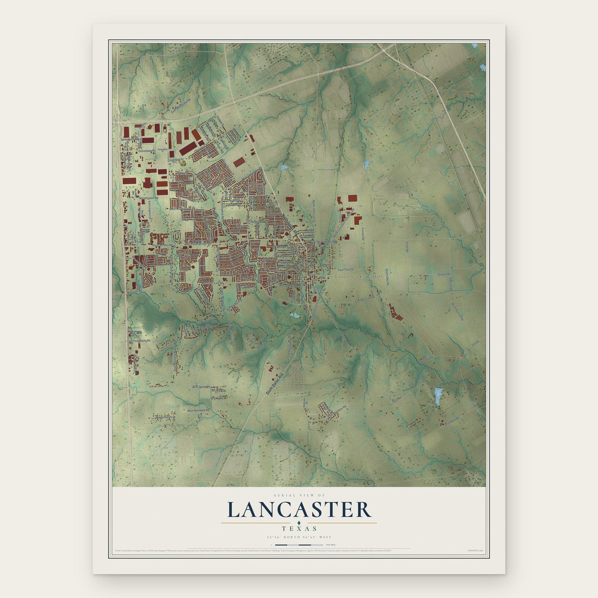
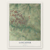
Lancaster, Texas Map Art
Building by building, with labeled streets and shaded relief.
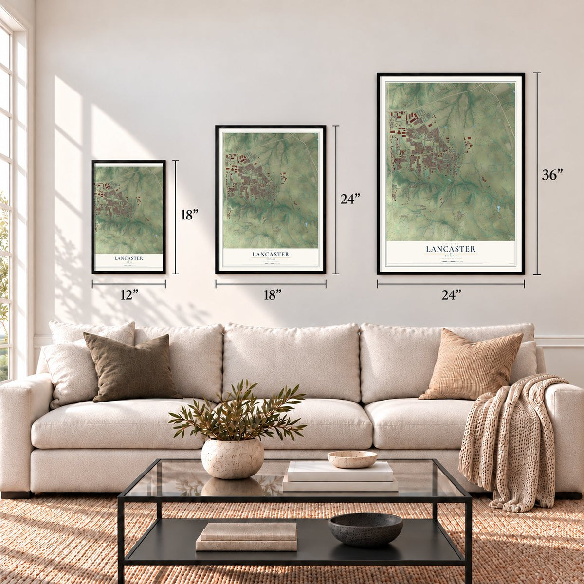
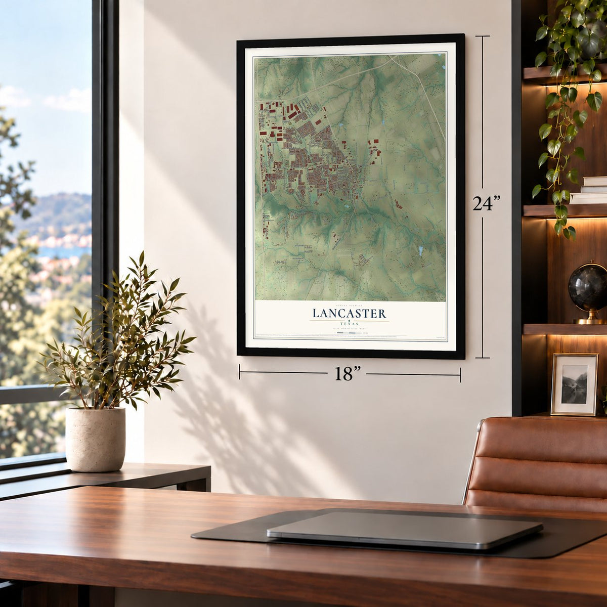
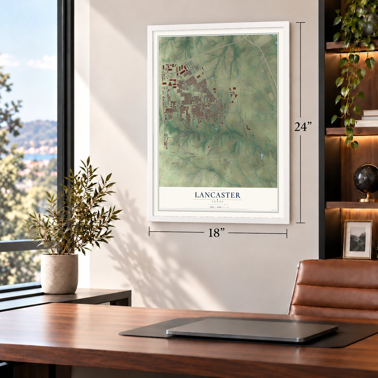
12" x 18" Archival Matte Print
A Map of Home. A Work of Art.
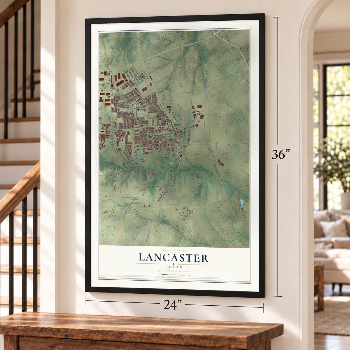
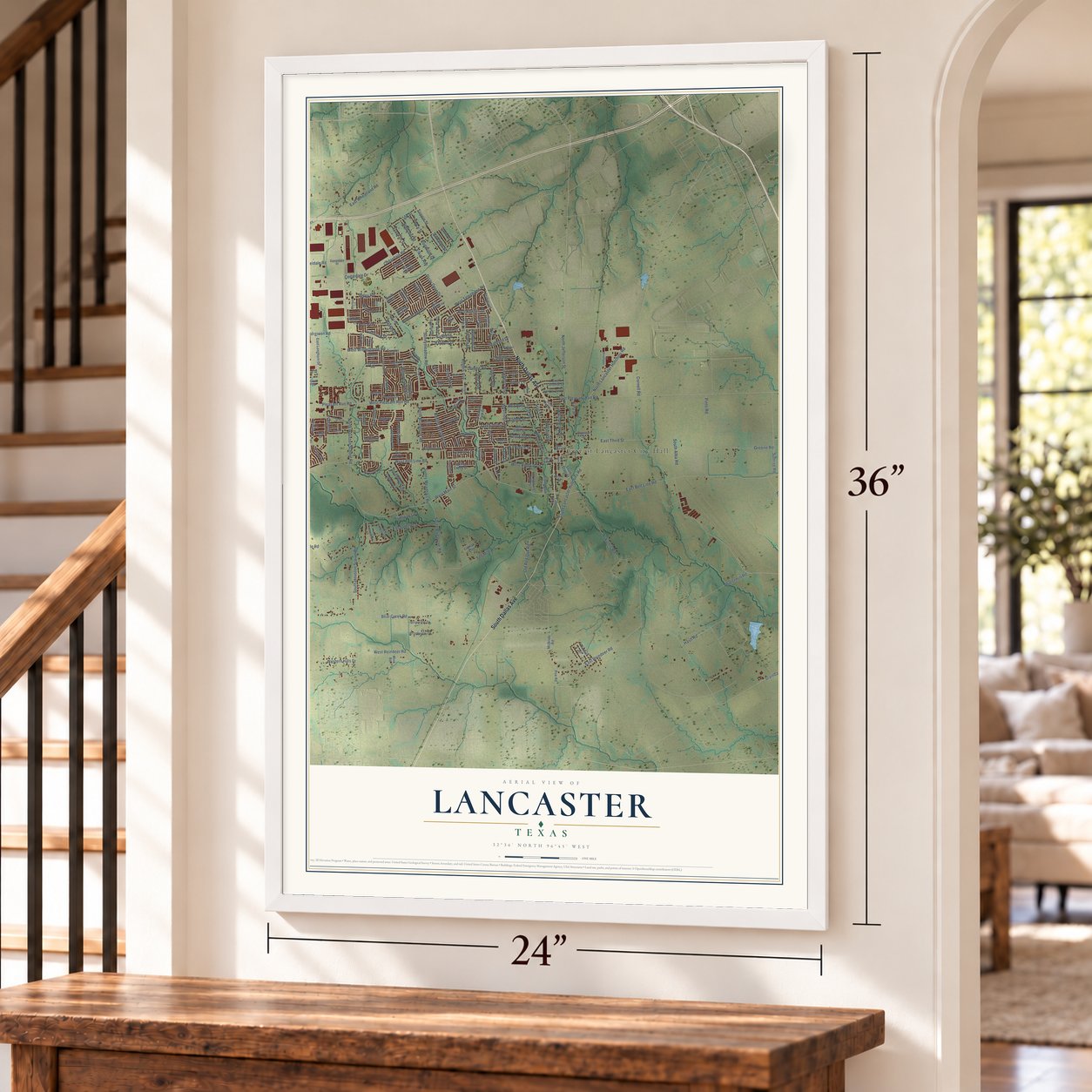
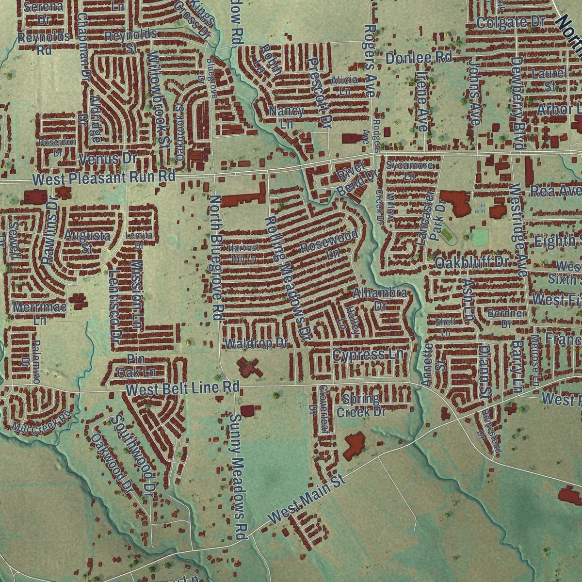
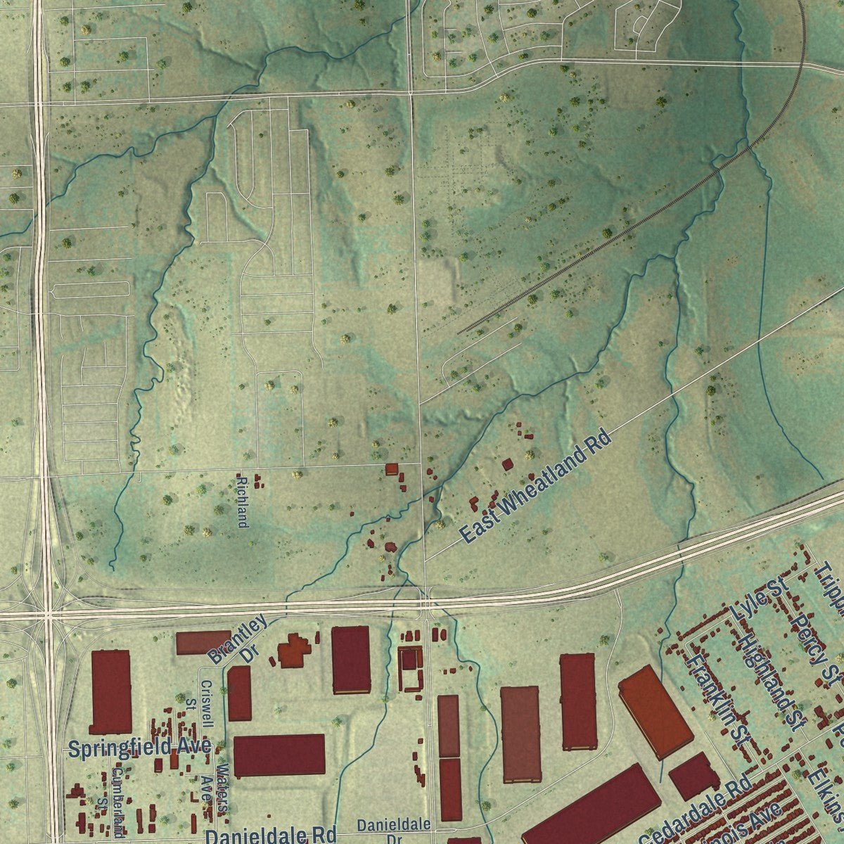
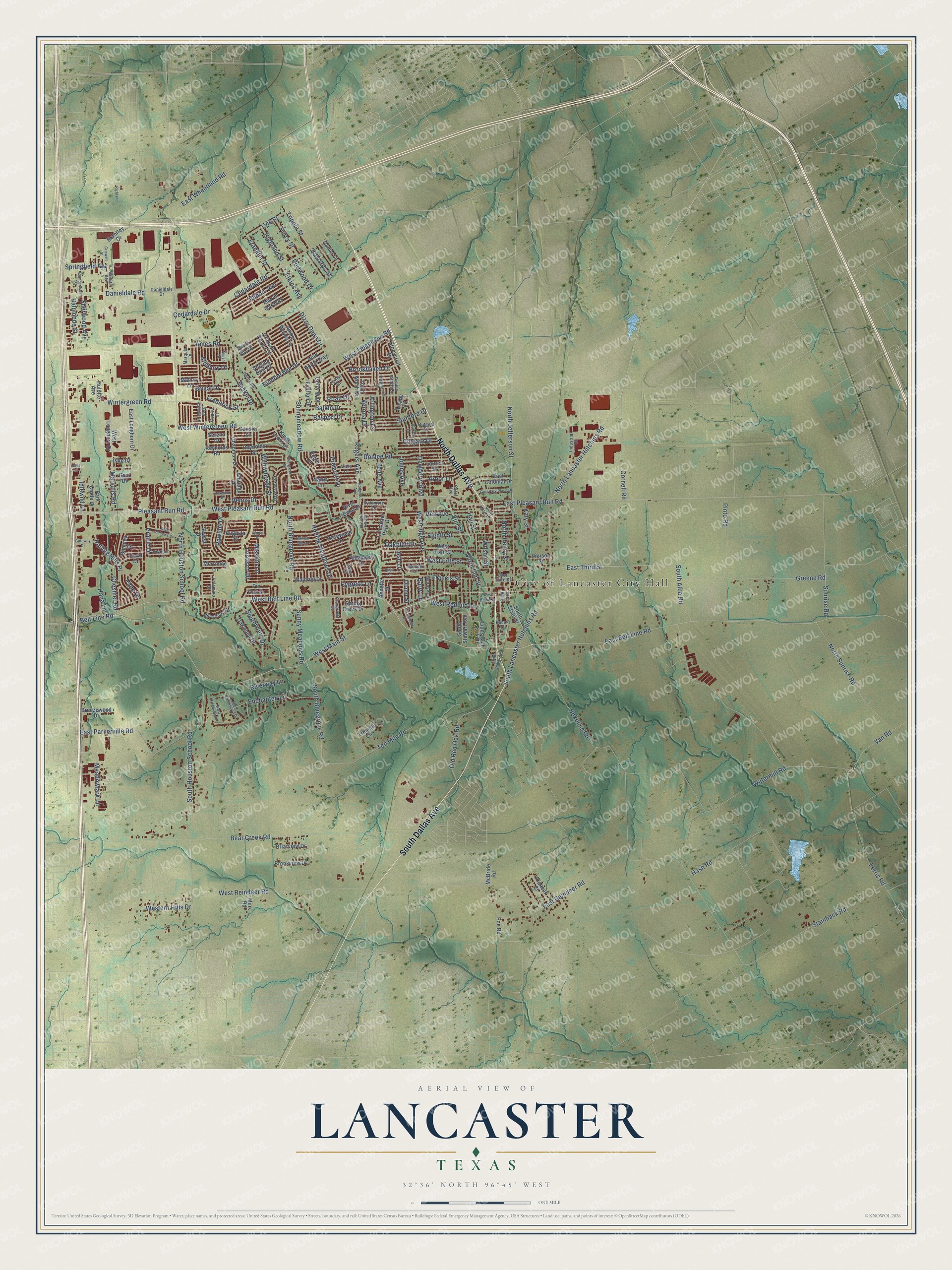
Explore Lancaster, Texas from a whole new perspective. Created using aerial imagery and detailed geographic data, this map captures Lancaster building by building, with labeled streets, familiar landmarks, and shaded topographical relief that highlights the natural contours of the landscape.
Combining modern data with the timeless character of a vintage atlas, this map is just as interesting up close as it is beautiful on the wall. Whether you grew up in Lancaster, spent memorable years there, or call it home today, this unique map is a great way to celebrate a place that means something to you. Zoom in on the preview to look for your street, and then order a print to put your memories on the wall.
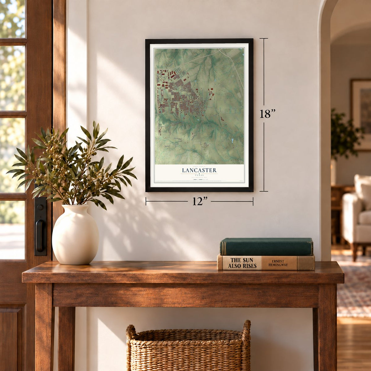
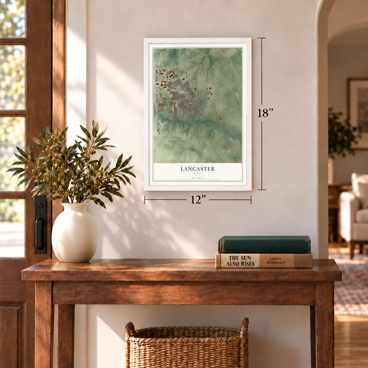
Three ways to hang it
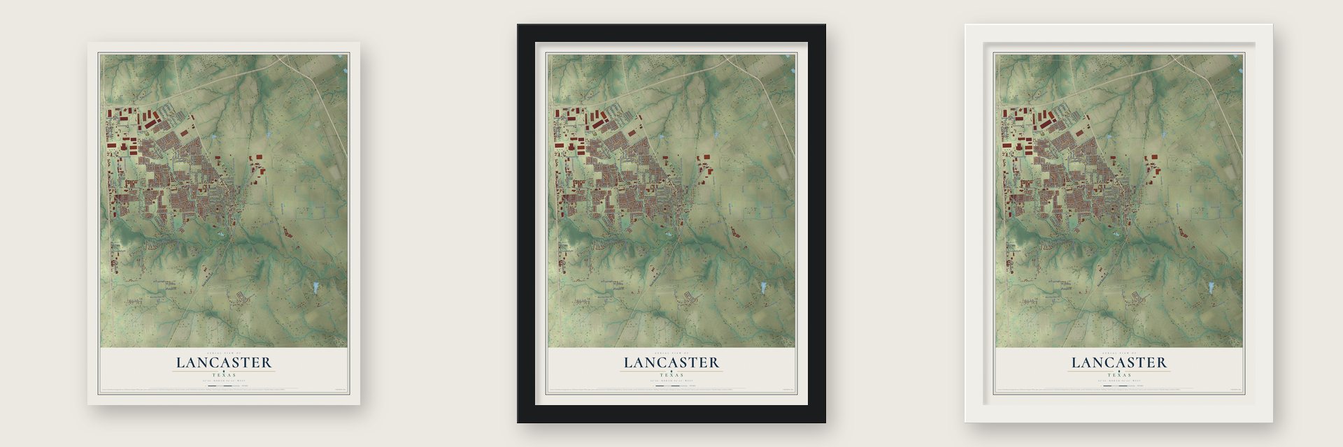
Unframed archival matte, a black wood frame or a white wood frame.
Up close
Geography Worth Displaying
This map was created using accurate cartographic data and authoritative geographic sources, including the U.S. Geological Survey and the Census Bureau. The map brings together terrain, waterways, roads, and building detail. The majority of the streets are labeled, houses are accurately depicted, and the topography is derived from government sources. Combining local data with carefully composed color and shading leads to this beautifully detailed Lancaster artwork for your wall.
Rather than simply showing street outlines, we’ve included as many of the street names as we could reasonably fit on the map while keeping their names legible. Zoom in on the high resolution preview to see exactly what’s on the map. We truly set out to create a statement piece for anyone who loves Lancaster. So whether it’s for you, or a gift for someone you love, we hope this map of Lancaster brings back fond memories.
Read the story behind this map of Lancaster, Texas from 2026.
Find your street
Names on the Lancaster map
Every name below is printed on this map. Look for your street, your school, the park where you played, or the pond down the road.
Places and landmarks1
- City of Lancaster City Hall
Streets and roads215
- North Dallas Avenue
- South Dallas Avenue
- West Main Street
- West Belt Line Road
- East Belt Line Road
- North Lancaster Hutchins Road
- Belt Line Road
- West Pleasant Run Road
- Pleasant Run Road
- Danieldale Road
- Cedardale Road
- Rogers Avenue
- East Pleasant Run Road
- Cedardale Drive
- Springfield Avenue
- Midbury Drive
- Barry Lane
- West Redbud Lane
- Rolling Meadows Drive
- Franklin Street
- North Houston School Road
- West Wintergreen Road
- Ferris Road
- Bear Creek Road
- Greene Road
- South Houston School Road
- Nokomis Road
- North Bluegrove Road
- North Jefferson Street
- West Reindeer Road
Show all 215 streets
- South Bluegrove Road
- Wintergreen Road
- Cornell Road
- East Reindeer Road
- Sunny Meadows Road
- Donlee Road
- Pinto Road
- North Sunrise Road
- Ames Road
- East Parkerville Road
- Oakbluff Drive
- East Wheatland Road
- Enchanted Lane
- Old Red Oak Road
- Rolling Hills Place
- South Lancaster Hutchins Road
- Sunnymeadow Road
- Ten Mile Road
- Stainback Road
- Francis Street
- Southwood Drive
- North Elm Street
- Van Road
- Balomede Street
- Hall Street
- Rawlins Drive
- Sherwood Avenue
- Westridge Avenue
- Eighth Street
- East Third Street
- Meadowlark Lane
- Bumble Bee Drive
- Baskin Drive
- Bruce Drive
- Rea Avenue
- Brookhaven Drive
- West Telephone Road
- Bayport Drive
- Dizzy Dean Drive
- North Henry Street
- West Fifth Street
- Sunrise Road
- Western Hills Drive
- Illinois Avenue
- South Alba Road
- Frederick Street
- Willowbrook Street
- Roan Drive
- Dewberry Boulevard
- Stanford Drive
- Elm Street
- Ash Lane
- Marsalis Road
- Arbor Lane
- Idlewild Lane
- Balkin Drive
- Prescott Drive
- Trippie Street
- Cheshier Road
- Lyle Street
- Percy Street
- Highland Street
- Irene Avenue
- Hana Lane
- Johns Avenue
- Colgate Drive
- Watermill Road
- Cypress Lane
- Wilson Street
- Arlington Lane
- Elkins Avenue
- Lentisco Drive
- Portwood Drive
- Verona Drive
- Riverway Lane
- Mission Lane
- Edwards Street
- Hash Road
- Prairie Drive
- Venus Drive
- Katy Street
- Palm Drive
- Diann Street
- River Bend Drive
- Alhambra Drive
- Chapman Drive
- Lions Club Park Road
- West Sixth Street
- Truman Circle
- Amber Waves Lane
- Rosewood Lane
- Oakwood Drive
- Reynolds Street
- South Stewart Avenue
- Nancy Lane
- Augusta Street
- West Longhorn Drive
- East Longhorn Drive
- Lancaster Park Drive
- Arcady Lane
- Crimson Clover Drive
- East Colonial Drive
- South State Street
- Park Circle Drive
- Town North Drive
- Laurel Street
- McBride Road
- Spring Creek Drive
- Brookview Drive
- Breezewood Drive
- Gerry Way
- Mallory Lane
- Briarview Drive
- Prancer Street
- Waldrop Drive
- Marvin Gardens
- Swift Fox Drive
- Reynolds Road
- Stonycroft Drive
- Everton Drive
- Kings Cross Drive
- Wild Horse Way
- Coral Drive
- Brantley Drive
- Aldridge Drive
- Cansler Lane
- Bahama Drive
- Merrimac Lane
- Daniel Lane
- Hulette Avenue
- Pin Oak Lane
- Pierson Street
- Singing Bird Drive
- Annette Street
- Sewell Drive
- Gant Drive
- Pike Drive
- Poe Road
- Serena Drive
- Mink Road
- Robin Lane
- Danieldale Drive
- Rutgers Drive
- Industrial Street
- Mill Creek Road
- Oakbrook Street
- Henry Road
- Alicia Lane
- Marquis Lane
- Glen Hollow Drive
- Pebble Beach Drive
- Carol Avenue
- Waters Avenue
- Melrose Lane
- Godiva Street
- Pecan Street
- Bordner Drive
- Sycamore Lane
- Palomino Drive
- Cloverleaf Drive
- Pioneer Lane
- Conlin Drive
- Halley Lane
- Rodgers Avenue
- West Creekwood Drive
- Harvest Hill Lane
- East Park Place Drive
- Suffolk Lane
- Saint Andrews Drive
- Tanglewood Drive
- Willow Creek Drive
- Cumberland Street
- East Creekwood Drive
- Homestead Drive
- Criswell Street
- Gateway Drive
- Shell Lane
- Bluegrove Drive
- Poseidon Drive
- Richland
- West Cedar Street
- Marsh Drive
- Lemita Drive
- South Henry
- Lotus Lane
Names are listed as they appear on the printed map. Zoom into the product photos to find them.
About Lancaster, Texas
Lancaster is a city of 41,275 people in Dallas County, fourteen miles south of Dallas. Its first settlers came from Greene County, Illinois, with Roderick Rawlins under the Peters Colony, a Republic of Texas plan that paid in land to bring families to North Texas. By January 2, 1845, the 30 settlers had built Hardscrabble, two rows of log cabins beside Ten Mile Creek. In 1846 his daughter Polly and her husband, M. M. Miller, started Pleasant Run a few miles north, with a store and a post office.
Abram Bledsoe, born in Lancaster, Kentucky, in 1801, surveyed a new town near Pleasant Run in 1852 and named it for his birthplace. He copied the Kentucky town's plan, a square with streets coming in at the middle of each side instead of the corners. Bledsoe auctioned lots in 1853 and reportedly gave up to two-thirds of them to Pleasant Run families, then filed the plat in 1857. After Miller died in 1860, Pleasant Run faded and Lancaster became the main town. In later years Bledsoe held office as Dallas County judge and as comptroller of the state.
- Colt copies for the ConfederacyDuring the Civil War, Tucker, Sherrod and Company made copies of the .44 caliber Colt Dragoon in a factory on West Main Street for Confederate troops from Texas. The factory was run by John M. Crockett, who had served both as mayor of Dallas and as the state's lieutenant governor. R. P. Henry, a French-born engraver, worked there, opened a general store after the war and started the town's first bank in 1889.
- Two railroads by 1891Lancaster's depot opened in December 1888 on the Dallas and Waco Railway, which joined the Missouri, Kansas and Texas in 1891. The Lancaster Tap Railroad, finished in 1890, ran 4.5 miles to the Houston and Texas Central at Hutchins. The H&TC bought it in 1905, and it was abandoned in 1934.
- Clyde Barrow robs the bankOn February 27, 1934, Clyde Barrow and Raymond Hamilton walked into the R.P. Henry and Sons Bank near the town square, robbed it and left with over $4,000. Bonnie Parker waited for them in the getaway car on Malloy Bridge Road.
- The 1994 tornadoOn the night of April 25, 1994, an F4 tornado killed three people and injured nearly 50. It wrecked every building on the town square, along with more than 250 homes. The White and Company Bank building, a landmark since 1898, was badly hit but rebuilt, and it reopened in 1998 as the home of the Lancaster Economic Development Corporation.
Keep exploring Texas
Lancaster is one of 2,049 Texas towns we've mapped. Every dot on the map is a print of its own.
The search covers every state, Texas first.
Near Lancaster
Order 2 or more town maps and save 10%. Shown in the size and finish you picked above, so they hang as a set.
- Bear Creek Ranch 12" x 18" / Archival Matte Print $39.99
- Hutchins 12" x 18" / Archival Matte Print $39.99
- DeSoto 12" x 18" / Archival Matte Print $39.99
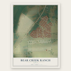
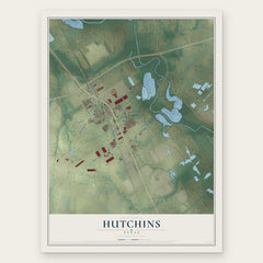
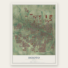
More maps nearby: Wilmer, Glenn Heights, Red Oak, Ferris and Pecan Hill.
The art of mapping a place
How This Map Was Made
Real places. Remarkable detail. Discover the layers that turn geographic data into a map of home.

The view from above
Aerial imagery reveals the character of the land: woodland, open fields, and the patterns of a place.

The shape of the land
Elevation data brings hills, valleys, and subtle changes in the landscape into view.

The details of home
Roads, waterways, and building footprints come together to make the map feel unmistakably local.

Geography becomes art
Considered color, shading, and typography bring the layers together in a map made for your wall.


Process illustrated with Mendon, Massachusetts. Aerial imagery: USDA NAIP. Terrain: USGS 3D Elevation Program. Map details and finished artwork: KNOWOL.
The Details
About This Print
Choose an archival matte print, or a black or white Ayous wood frame. The archival matte print is unframed.
Select your size and finish above to see the matching product image and price.
Materials & Craftsmanship
A contemporary map with the character of a classic atlas, printed on archival matte paper. Optional frames are made from Ayous wood.
Your printed map does not include the watermark shown in the full-map preview.
Shipping & Delivery
Free shipping within the United States. Every print is made to order in the USA.
Buying a gift? Add a note in your cart and we'll include it. We never put prices in the package.
Prints ship within 2 to 3 business days. Allow 7 to 10 days total from ordering for delivery. Timing may vary during holidays or periods of high order volume.
Read our shipping policy.
Returns and damaged prints
Each print is made to order. Change-of-mind refunds are not available after production.
If your print arrives damaged, misprinted or incorrect, contact support@knowol.com within 30 days of receiving it. Include your order number, photos and a description of the issue.
Read our full refund and replacement policy. For questions about your order, email support@knowol.com.