
Search for another town


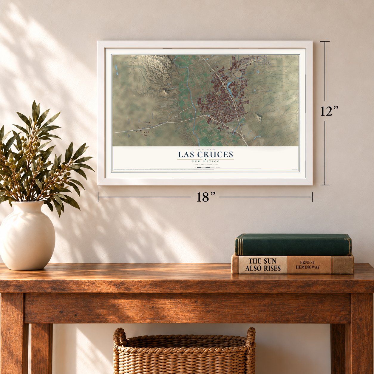

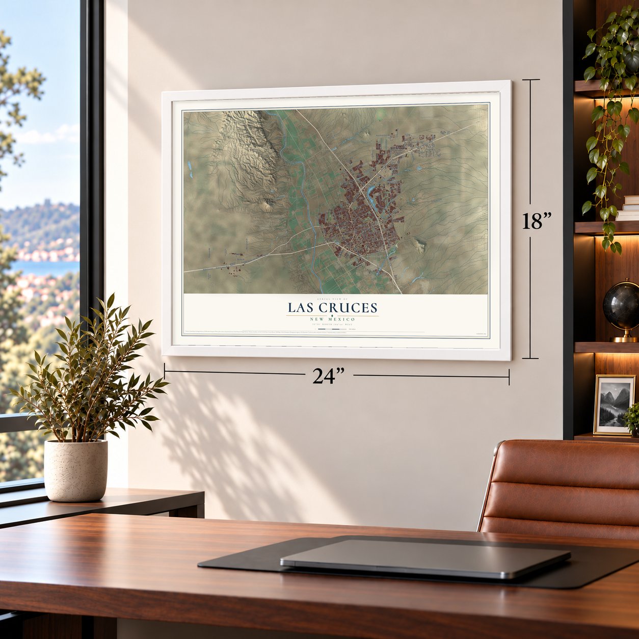

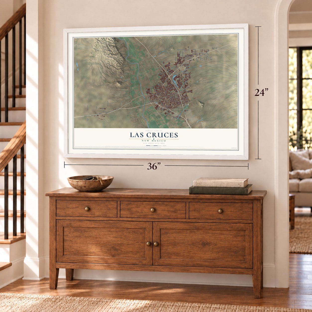

Free U.S. delivery 7 to 10 days after you order
Las Cruces, New Mexico Map Art
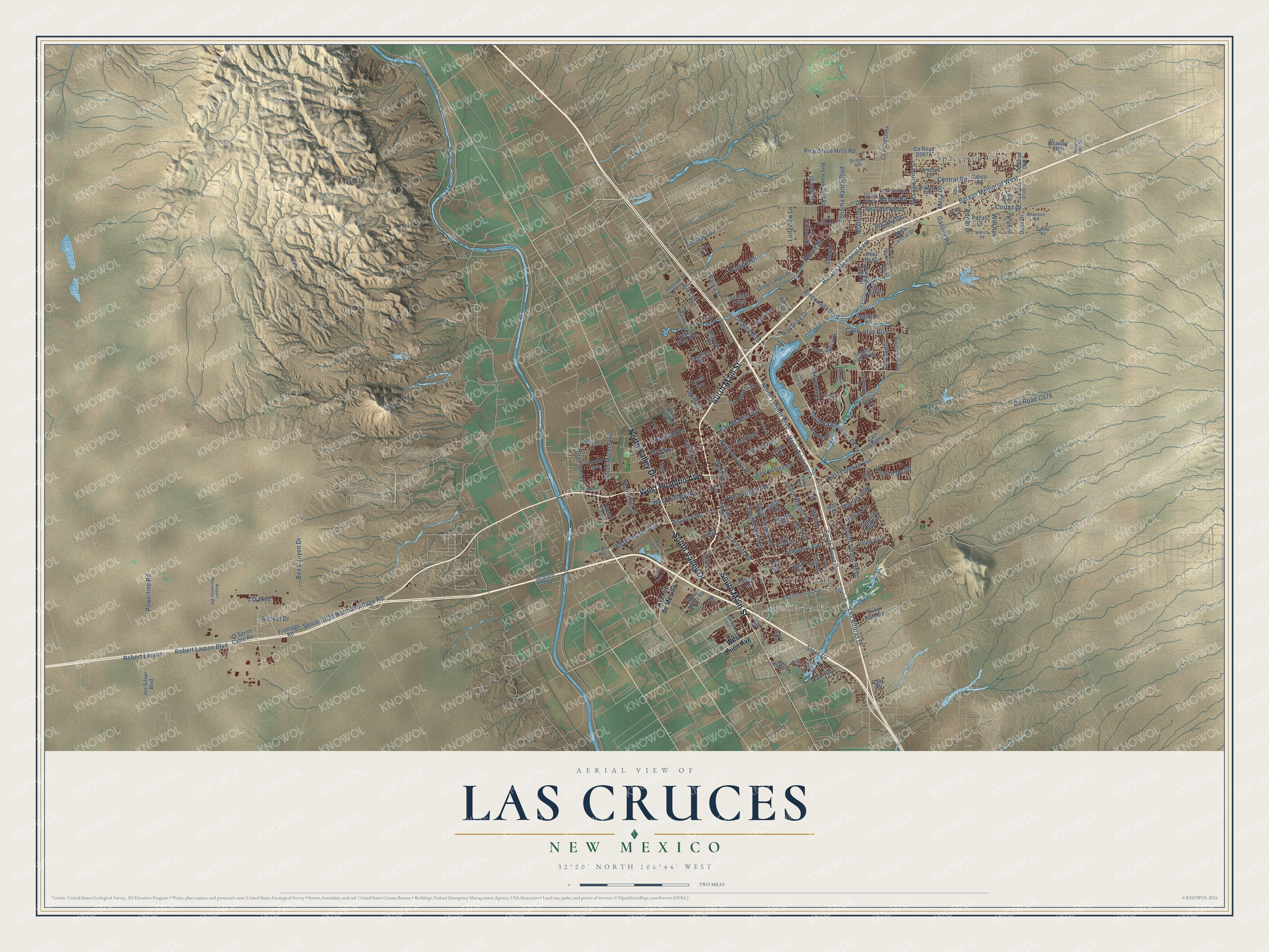
A new map of Las Cruces, New Mexico, made in 2026 and printed to order on thick archival matte paper.
12" x 18" Archival Matte Print
A Map of Home. A Work of Art.
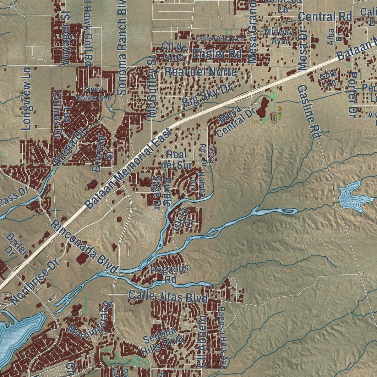
Explore Las Cruces, New Mexico from a whole new perspective. Created using aerial imagery and detailed geographic data, this map captures Las Cruces building by building, with labeled streets, familiar landmarks, and shaded topographical relief that highlights the natural contours of the landscape.
Combining modern data with the timeless character of a vintage atlas, this map is just as interesting up close as it is beautiful on the wall. Whether you grew up in Las Cruces, spent memorable years there, or call it home today, this unique map is a great way to celebrate a place that means something to you. Zoom in on the preview to look for your street, and then order a print to put your memories on the wall.
Three ways to hang it
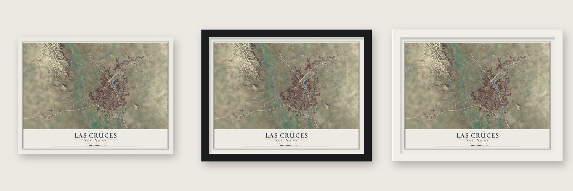
Unframed archival matte, a black wood frame or a white wood frame.
Up close
Geography Worth Displaying
This map was created using accurate cartographic data and authoritative geographic sources, including the U.S. Geological Survey and the Census Bureau. The map brings together terrain, waterways, roads, and building detail. The majority of the streets are labeled, houses are accurately depicted, and the topography is derived from government sources. Combining local data with carefully composed color and shading leads to this beautifully detailed Las Cruces artwork for your wall.
Rather than simply showing street outlines, we’ve included as many of the street names as we could reasonably fit on the map while keeping their names legible. Zoom in on the high resolution preview to see exactly what’s on the map. We truly set out to create a statement piece for anyone who loves Las Cruces. So whether it’s for you, or a gift for someone you love, we hope this map of Las Cruces brings back fond memories.
Read the story behind this map of Las Cruces, New Mexico from 2026.

About Las Cruces, New Mexico
Las Cruces is a city of 111,385 people and the county seat of Doña Ana County, in the Mesilla Valley along the Rio Grande. Mexico gave this land to the United States in the 1848 Treaty of Guadalupe Hidalgo, and in 1849 the U.S. Army surveyed the townsite, which opened it to American settlers. The name is Spanish for "the crosses." Early settlers reported three crosses just north of town, which may have marked graves or been roadside memorials called descansos.
At first nearby Mesilla was the bigger town. In 1860 it had more than 2,000 people, over twice as many as Las Cruces. When the Atchison, Topeka and Santa Fe Railway came through, Mesilla's landowners would not sell it a route. Las Cruces residents gave the railroad its right-of-way and land for a depot instead, and the first train arrived in 1881. The town grew to 2,300 people in the 1880s and was incorporated in 1907.
- The first school in 1870The Sisters of Loretto founded Loretto Academy in 1870, and it was the first school in Southern New Mexico. It began as a school for girls only, on fifteen acres in the middle of Las Cruces.
- A university since 1888New Mexico State University was founded in 1888. It is the state's only land-grant university, and it grew along with the city. The university is still one of the largest employers in Las Cruces.
- Neighbor to White SandsWhite Sands Missile Range dates from 1944, and White Sands Test Facility followed in 1963. Las Cruces is the closest city to both, and their steady, well-paid government jobs helped the city grow. Spaceport America, about 55 miles north, keeps corporate offices in Las Cruces.
- Main Street closed and reopenedIn the 1960s the city set out to rebuild its old downtown as a modern center. Urban renewal tore down much of it, including St. Genevieve's Catholic Church, built in 1859, to make room for a pedestrian mall. Six blocks of Main Street were closed to cars in 1973. A 2005 master plan brought back two-way traffic, and Main Street reopened to cars in 2012. A farmers' market still fills it on Wednesday and Saturday mornings.
Find your street
Names on the Las Cruces map
Every name below is printed on this map. Look for your street, your school, the park where you played, or the pond down the road.
Places and landmarks3
- Mesilla Park
- Spaceport City
- University Park
Streets and roads176
- North Main Street
- South Main Street
- West Picacho Avenue
- South Valley Drive
- North Valley Drive
- Northrise Drive
- Cll Abuelo
- North Telshor Boulevard
- North Triviz Drive
- La Reina Street
- Elks Drive
- South Triviz Drive
- East Griggs Avenue
- Bataan Memorial West
- Missouri Avenue
- South Espina Street
- North Solano Drive
- South Solano Drive
- Spruce Avenue
- Sonoma Ranch Boulevard
- North Roadrunner Parkway
- Bataan Memorial East
- East Lohman Avenue
- Gasline Road
- West Amador Avenue
- South Telshor Boulevard
- North Motel Boulevard
- El Paseo Road
- Senior 1031 North Frontage Road
- Rinconada Boulevard
Show all 176 streets
- Stern Drive
- Robert Larson
- Robert Larson Boulevard
- Peachtree Hills Road
- Engler Road
- Cortez Drive
- Las Alturas Drive
- Box Canyon Drive
- Del Rey Boulevard
- West Hadley Avenue
- Amador Road
- Arena Drive
- Powerline Road
- McGuffey Street
- Porter Drive
- Calle Jitas Boulevard
- East Madrid Avenue
- Mesa Grande Drive
- Spitz Street
- Pso de Onate
- Cheyenne Drive
- Central Road
- Wilt Avenue
- Mesa Drive
- Roadrunner Lane
- Hoagland Road
- Parkhill Drive
- Voyager Street
- South Walnut Street
- Ash Avenue
- Real del Norte
- Lees Drive
- Longview Lane
- Tucson Avenue
- Big Sky Drive
- North 17th Street
- Stull Drive
- Rocket Drive
- Zia Boulevard
- Avenue de Mesilla
- West Union Avenue
- West Boutz Road
- Fran Drive
- South Campo Street
- Ancho Avenue
- Settlers Pass Drive
- Tor Lane
- US Sprint Cable Road
- Red Hawk Golf Road
- Sedona Hills Parkway
- East Hadley Avenue
- Triviz Drive
- North Mesquite Street
- Nevada Avenue
- Dunn Drive
- Las Colinas Drive
- Settlers Pass
- Bruins Lane
- Calico Drive
- Morningstar Drive
- McClure Road
- Hillrise Drive
- Fairway Drive
- Pecan Lane
- Emerald Street
- Frontier Drive
- Cam Coyote
- Farney Lane
- Frontage Road
- Thomas Drive
- Mesa Central Drive
- Joe Silver Boulevard
- Pegasus Road
- Purple Sage Drive
- Imperial Ridge Street
- San Acacio Street
- Majestic Ridge
- Stanley Road
- Quail Run Avenue
- Valley View Avenue
- Mars Avenue
- Nemesh Drive
- Genesis Lane
- Davis Road
- Scorpio Loop
- Cam Real
- O'Hair Drive
- Dona Ana Road
- Jasmine Drive
- Real del Sur
- West Palms
- Mall Drive
- Smith Avenue
- Creed Avenue
- Lilla Road
- Bixler Drive
- Isleta Court
- Cll de Luna
- Colt Road
- Oak Street
- Jett Avenue
- El Presidio Drive
- East University Avenue
- North Alameda Boulevard
- East Foster Road
- Pagosa Hills Avenue
- Mission Road
- Midway Avenue
- Airport Perimeter Road
- Jasper Avenue
- Myrtle Avenue
- Nambe Arc
- Burn Lake Road
- Shannon Road
- Moreno Road
- Sirocco Avenue
- Main Street
- Alba Drive
- Mimosa Lane
- Local Road
- Holliday Lane
- Amador Avenue
- Seldon Avenue
- Fifth Street
- Demos Avenue
- Carjac Road
- Gobi Lane
- Seneca Drive
- Palm Canyon
- Aldrich Road
- Evelyn Street
- Mesa Rico Drive
- Calle Bella Avenue
- Payne Street
- Maese Lane
- Bowman Avenue
- West Barker Road
- Ent del Sol
- Wall Avenue
- Sierra Bonita Avenue
- Del West Avenue
- Good Times Drive
- Don Buck Drive
- Walton Boulevard
- Hanger Lake Road
- Yale Drive
Names are listed as they appear on the printed map. Zoom into the product photos to find them.
The art of mapping a place
How This Map Was Made
Real places. Remarkable detail. Discover the layers that turn geographic data into a map of home.

The view from above
Aerial imagery reveals the character of the land: woodland, open fields, and the patterns of a place.

The shape of the land
Elevation data brings hills, valleys, and subtle changes in the landscape into view.

The details of home
Roads, waterways, and building footprints come together to make the map feel unmistakably local.

Geography becomes art
Considered color, shading, and typography bring the layers together in a map made for your wall.


Process illustrated with Mendon, Massachusetts. Aerial imagery: USDA NAIP. Terrain: USGS 3D Elevation Program. Map details and finished artwork: KNOWOL.
The Details
About This Print
Choose an archival matte print, or a black or white Ayous wood frame. The archival matte print is unframed.
Select your size and finish above to see the matching product image and price.
Materials & Craftsmanship
A contemporary map with the character of a classic atlas, printed on archival matte paper. Optional frames are made from Ayous wood.
Your printed map does not include the watermark shown in the full-map preview.
Shipping & Delivery
Free shipping within the United States. Every print is made to order in the USA.
Buying a gift? Add a note in your cart and we'll include it. We never put prices in the package.
Prints ship within 2 to 3 business days. Allow 7 to 10 days total from ordering for delivery. Timing may vary during holidays or periods of high order volume.
Read our shipping policy.
Returns and damaged prints
Each print is made to order. Change-of-mind refunds are not available after production.
If your print arrives damaged, misprinted or incorrect, contact support@knowol.com within 30 days of receiving it. Include your order number, photos and a description of the issue.
Read our full refund and replacement policy. For questions about your order, email support@knowol.com.
Find your town
Looking for another city?
Find a map of home in our New Mexico collection, or any town in the country.
Nearby
Maps of towns near Las Cruces
Know someone from one of these towns? Their map makes a great gift.
 Fairacres
, New Mexico
From $39.99See the map
 Mesilla
, New Mexico
From $39.99See the map
 University Park
, New Mexico
From $39.99See the map
More maps nearby: Tortugas, Doña Ana, Picacho Hills, San Pablo and Butterfield Park.