
Search for another town

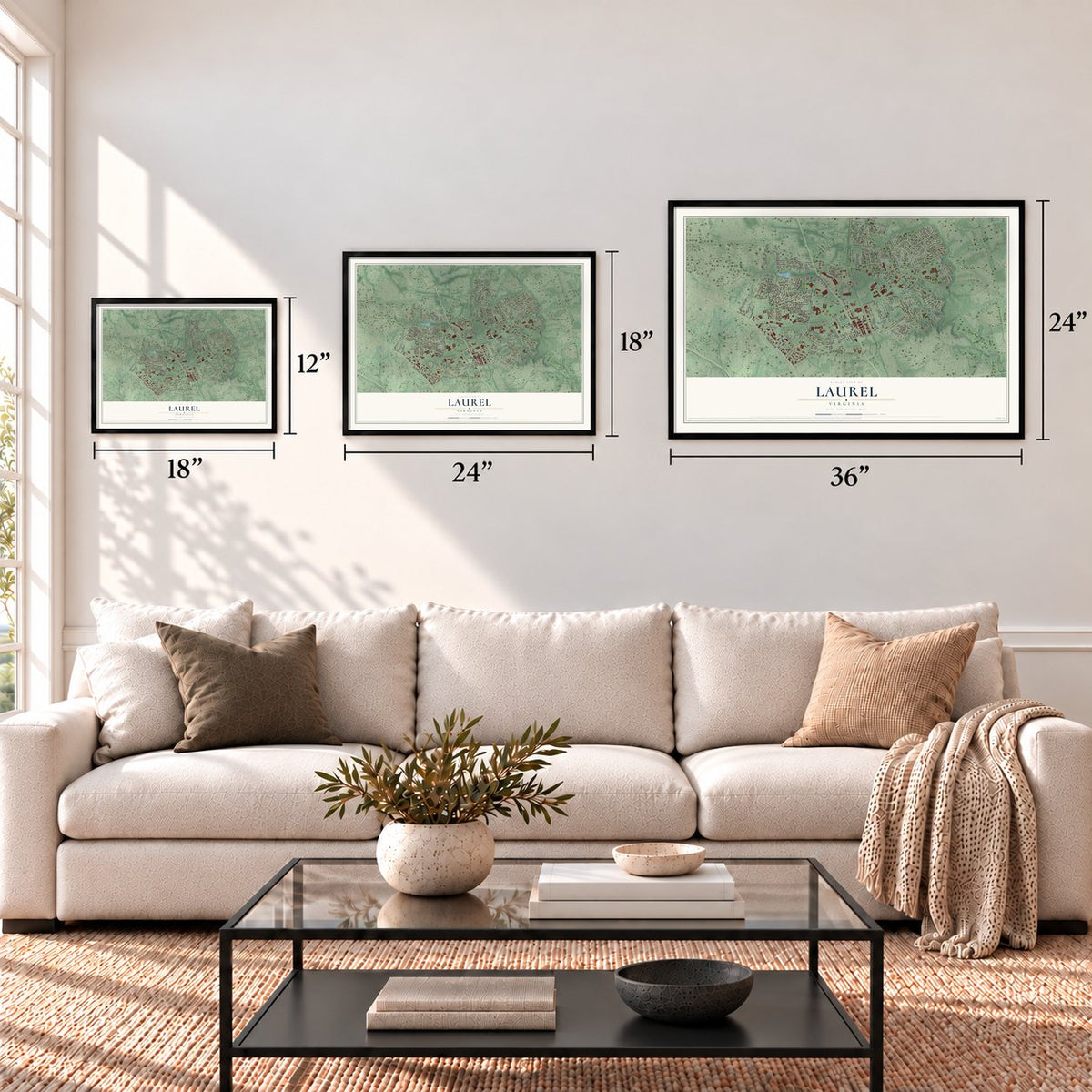

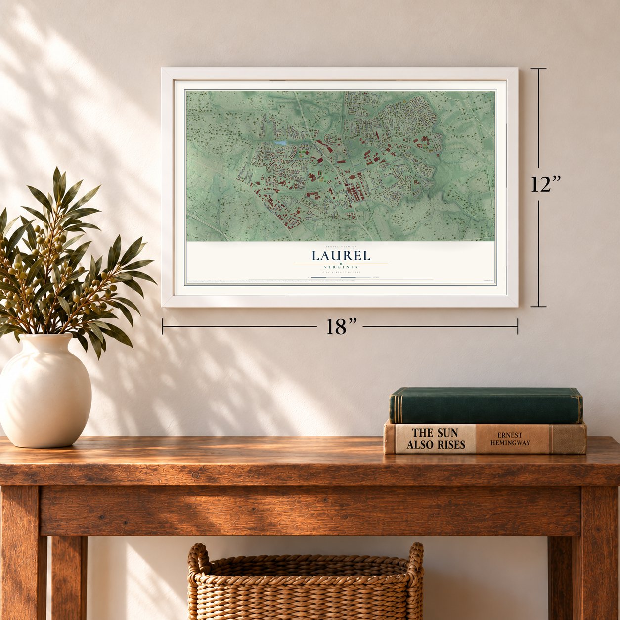

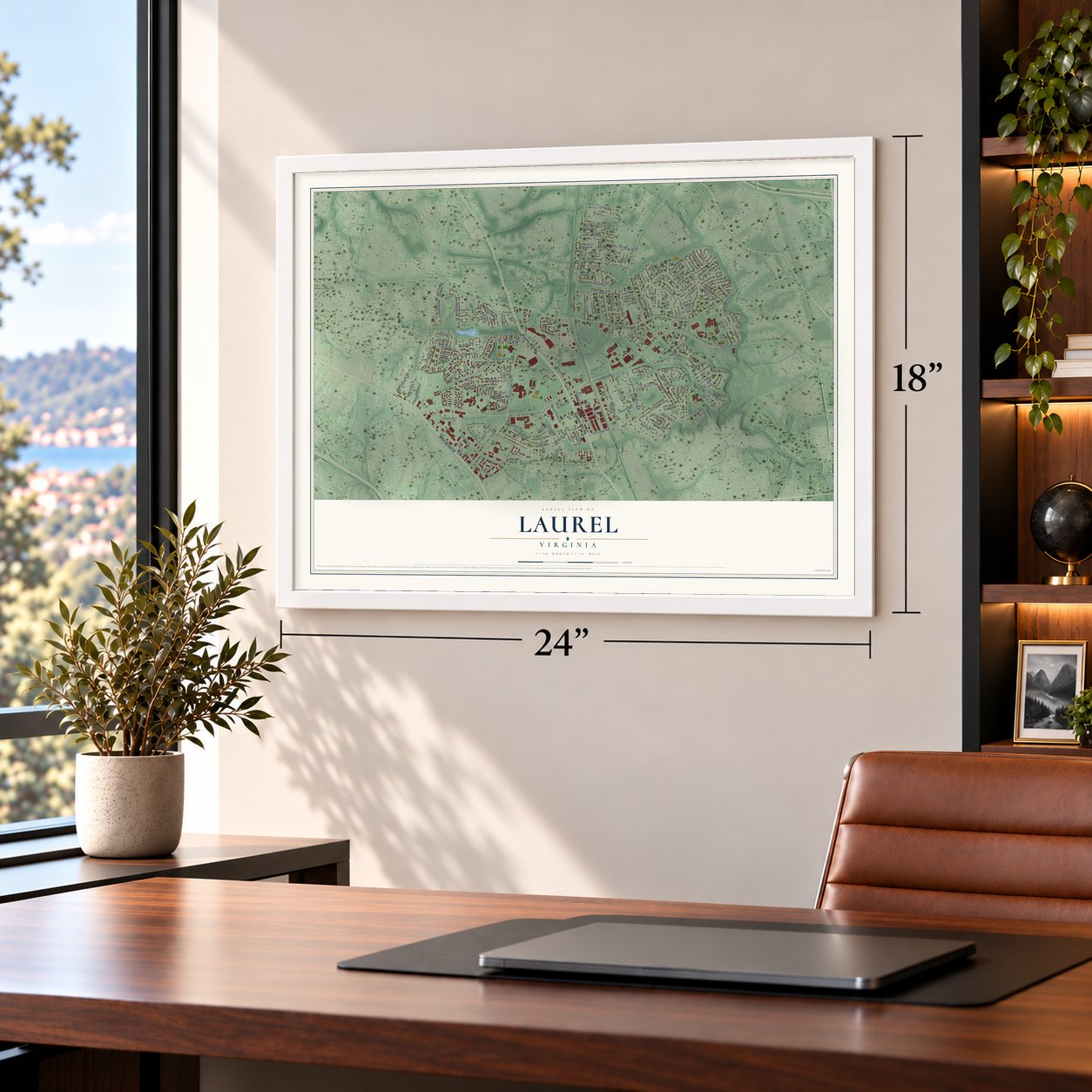

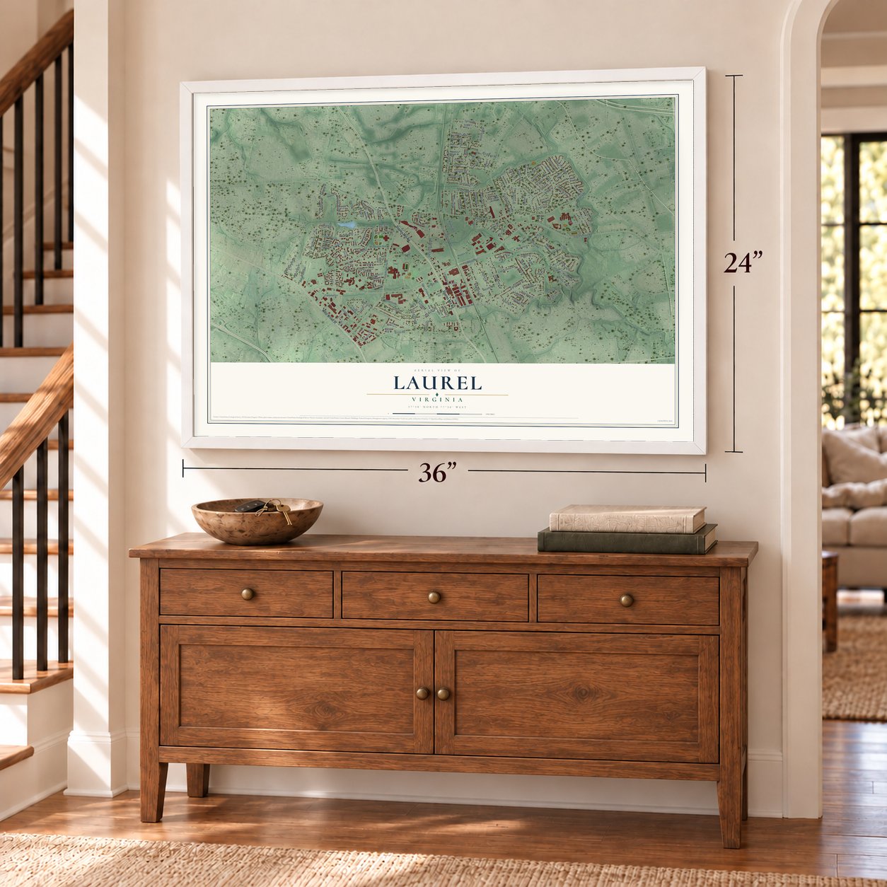

Free U.S. delivery 7 to 10 days after you order
Laurel, Virginia Map Art
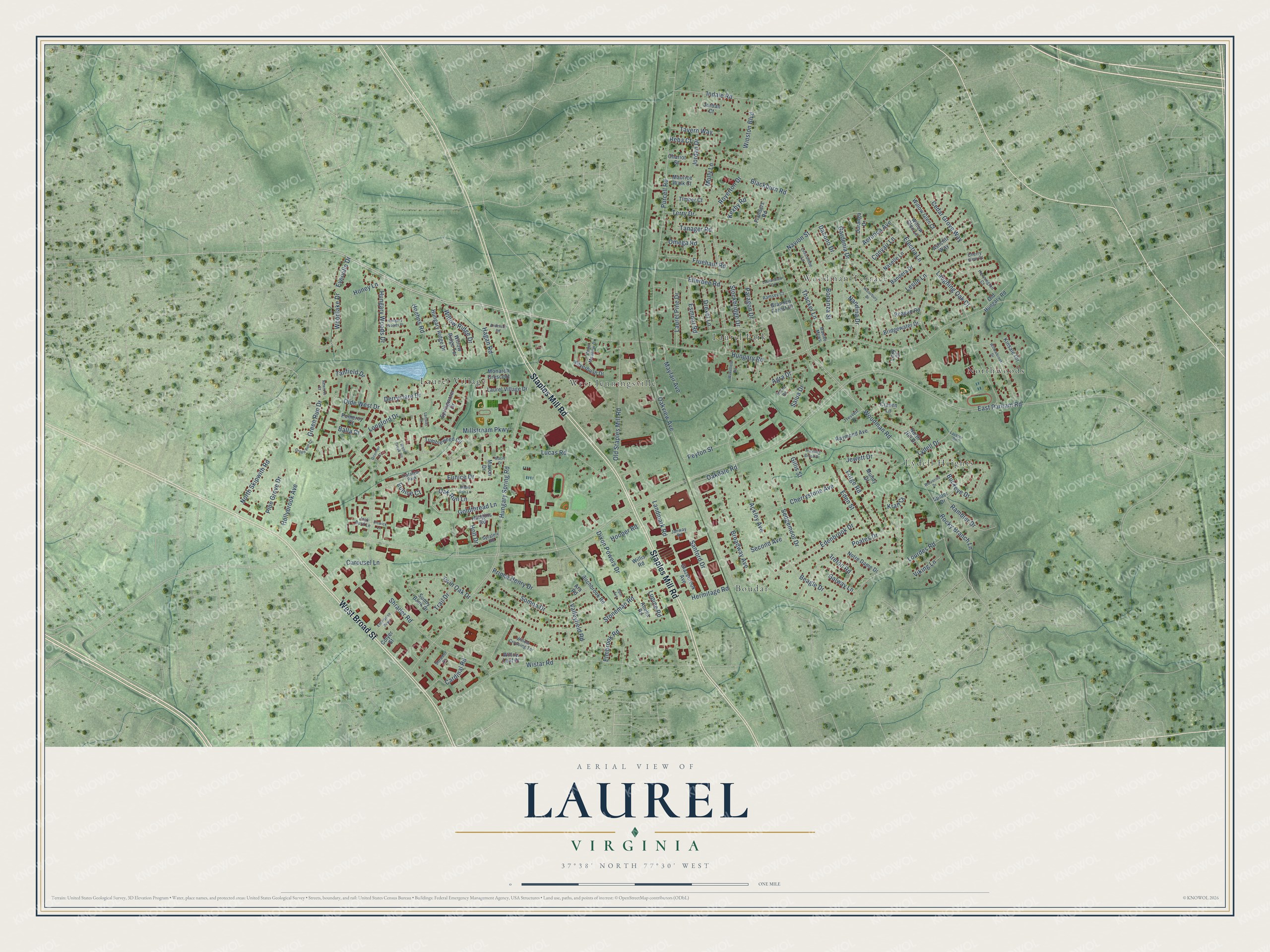
A new map of Laurel, Virginia, made in 2026 and printed to order on thick archival matte paper.
12" x 18" Archival Matte Print
A Map of Home. A Work of Art.
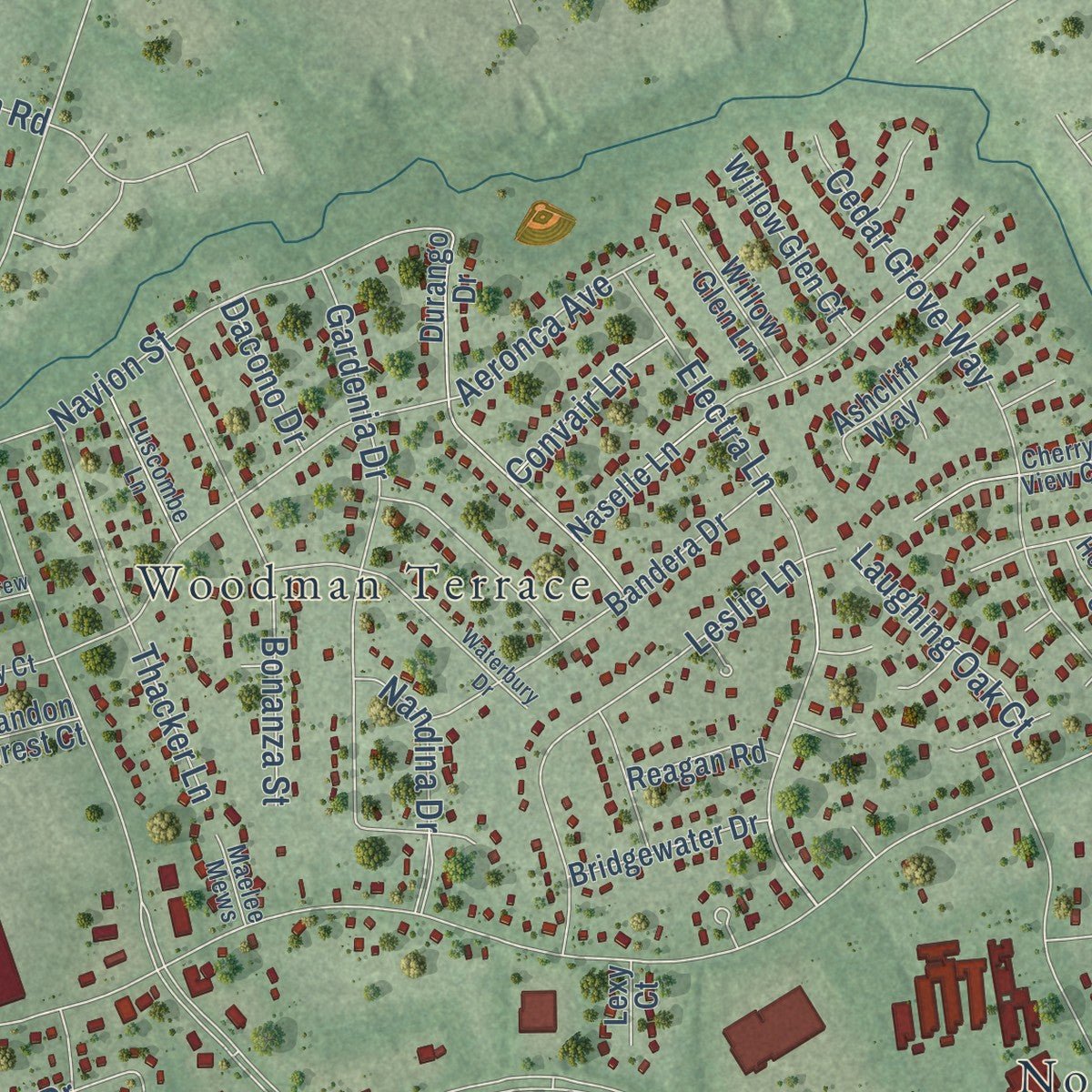
Explore Laurel, Virginia from a whole new perspective. Created using aerial imagery and detailed geographic data, this map captures Laurel building by building, with labeled streets, familiar landmarks, and shaded topographical relief that highlights the natural contours of the landscape.
Combining modern data with the timeless character of a vintage atlas, this map is just as interesting up close as it is beautiful on the wall. Whether you grew up in Laurel, spent memorable years there, or call it home today, this unique map is a great way to celebrate a place that means something to you. Zoom in on the preview to look for your street, and then order a print to put your memories on the wall.
Three ways to hang it
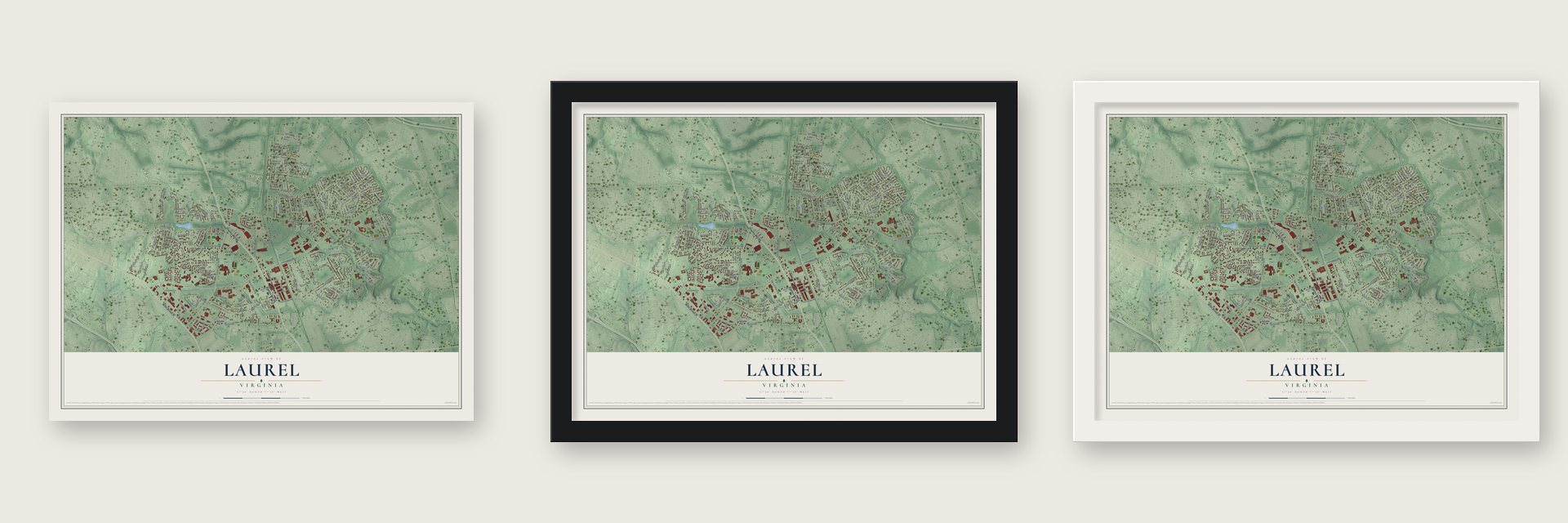
Unframed archival matte, a black wood frame or a white wood frame.
Up close
Geography Worth Displaying
This map was created using accurate cartographic data and authoritative geographic sources, including the U.S. Geological Survey and the Census Bureau. The map brings together terrain, waterways, roads, and building detail. The majority of the streets are labeled, houses are accurately depicted, and the topography is derived from government sources. Combining local data with carefully composed color and shading leads to this beautifully detailed Laurel artwork for your wall.
Rather than simply showing street outlines, we’ve included as many of the street names as we could reasonably fit on the map while keeping their names legible. Zoom in on the high resolution preview to see exactly what’s on the map. We truly set out to create a statement piece for anyone who loves Laurel. So whether it’s for you, or a gift for someone you love, we hope this map of Laurel brings back fond memories.
Read the story behind this map of Laurel, Virginia from 2026.

About Laurel, Virginia
Laurel is a community of 17,769 people in western Henrico County, and it is named for the many laurel trees that grow in the area. It has gone by several other names over the years: Hungary, Hungary Station, School and Jenningsville. The last one honored the Jennings family, who held large amounts of land here and have a family burial ground in Laurel.
In the 19th century, trains on the Richmond, Fredericksburg and Potomac Railroad stopped here. Its spur line carried coal from the fields of western Henrico out to the wider rail network. The station was burned during the Civil War. Today CSX Transportation, which took over from the RF&P, still runs trains along the same route.
- A secret grave in 1864In March 1864 the body of Union colonel Ulric Dahlgren was buried in secret at Laurel. His remains did not stay here. They were later dug up and buried again in Philadelphia.
- From general store to galleryThe A.A. Harvey General Store was built around 1910 as the community's store. In the decades that followed, the building held housing, then the Crystal Ice Co., and later the Laurel Post Office. It was fully restored in 1991 and became the Laurel Gallery. The preservationist Robert Bluford worked to keep the restored building true to its original style.
- A privately owned post officeThe Laurel Post Office was one of only a few post offices in the United States owned by a private party. Lillian Merkle served as its postmaster.
Find your street
Names on the Laurel map
Every name below is printed on this map. Look for your street, your school, the park where you played, or the pond down the road.
Places and landmarks8
- Boudar
- Laurel Park
- Laurel Village
- Lydell Heights
- Northwoods
- West Jenningsville
- Woodman Terrace
- Trafalgar Park
Streets and roads179
- Staples Mill Road
- West Broad Street
- Hungary Road
- Oak Run Lane
- Electra Lane
- East Parham Road
- Woodman Road
- Hungary Spring Road
- Shrader Road
- Lydell Drive
- Wistar Road
- Purcell Road
- Oakview Avenue
- Olde West Drive
- Stoneman Road
- Royerton Drive
- Ackley Avenue
- Hermitage Road
- Lourdes Road
- Aeronca Avenue
- Eunice Drive
- Poates Drive
- Somoa Drive
- Old Staples Mill Road
- Leslie Lane
- Cedar Grove Way
- Edenbrook Drive
- Lucas Road
- Longford Drive
- Broadway Avenue
Show all 179 streets
- Terry Drive
- Hoehns Road
- Prince Henry Drive
- Green Run Drive
- Gardenia Drive
- Sedgemoor Drive
- Navion Street
- Landmark Road
- Buckeye Drive
- Fruehauf Road
- Bonanza Street
- Cherrystone Avenue
- Indale Road
- Winston Boulevard
- Ellerbee Road
- Thacker Lane
- Second Avenue
- Hollybrook Avenue
- Stockbridge Drive
- Paragon Drive
- Laurel Pine Drive
- Drexel Lane
- Omega Road
- Forge Road
- Woodlake Drive
- North Skipwith Road
- Nandina Drive
- Millstream Parkway
- Sanford Drive
- Jordan Drive
- Derryclare Drive
- Jewett Drive
- Carousel Lane
- Rambler Drive
- Twin Oak Drive
- Valleyfield Road
- Eden Street
- Tanfield Drive
- Willow Ridge Drive
- Hungary Woods Drive
- Pine Grove Drive
- Cardinal Road
- Honey Lane
- Mayfair Avenue
- Esmont Road
- Ireton Road
- Salua Drive
- Beagle Drive
- Tavern Way
- Hagan Road
- Blackburn Road
- Rocky Branch Lane
- Dixon Powers Drive
- Peyton Street
- Goldthread Lane
- Laughing Oak Court
- Reba Court
- Oakdale Road
- Galway Lane
- Eunice Court
- Gillis Street
- Elmbrook Road
- Hooper Road
- Convair Lane
- Kexby Road
- Tanager Road
- Trail Drive
- Everville Drive
- Agra Drive
- Viking Lane
- Dacono Drive
- Molly Lane
- Kraft Court
- Lupine Road
- Balla Court
- Holt Drive
- Raymond Avenue
- Birchbrook Road
- Durango Drive
- Naselle Lane
- Bandera Drive
- Silverbush Drive
- Springwater Drive
- Bridgewater Drive
- Hungary Ridge Drive
- Spider Drive
- Monarch Crescent
- Laurel Village Drive
- Tumbleweed Circle
- Glazebrook Avenue
- Chariot Street
- Sunny Bank Drive
- Willow Glen Court
- Notre Dame Drive
- Old Hungary Road
- Abelia Road
- Willow Glen Lane
- Hudgins Road
- Craven Lane
- Ashcliff Way
- Maurice Walk Court
- Reagan Road
- Mundy Drive
- Brandon Forest Court
- Willow Leaf Place
- North Hill Drive
- Kinsale Circle
- Willis Road
- Flanders Road
- Timber Court
- Willow Ridge Terrace
- Pomeroy Court
- Macon Drive
- Jordan Court
- Colyer Street
- Lexy Court
- Ara Road
- Willow Crossing Terrace
- Janway Road
- Luscombe Lane
- Stone Meadow Drive
- Trevvett Drive
- Jack Burd Lane
- Sprately Road
- Hennington Court
- Ramsey Court
- Maelee Mews
- Shrader Court
- Cherry View Court
- Maple Run Lane
- Willowbrook Drive
- Waterbury Drive
- Wolverine Drive
- Hobart Road
- Anderson Road
- Enterprise Parkway
- Trickling Brook Drive
- Wood Creek Circle
- Wakefield Road
- Elswick Lane
- Green Run Court
- Laurandrew Circle
- Hungary Woods Place
- Macie Drive
- Oconnor Court
- Opal Avenue
- Newross Court
- Laverne Road
- Lambay Court
Names are listed as they appear on the printed map. Zoom into the product photos to find them.
The art of mapping a place
How This Map Was Made
Real places. Remarkable detail. Discover the layers that turn geographic data into a map of home.

The view from above
Aerial imagery reveals the character of the land: woodland, open fields, and the patterns of a place.

The shape of the land
Elevation data brings hills, valleys, and subtle changes in the landscape into view.

The details of home
Roads, waterways, and building footprints come together to make the map feel unmistakably local.

Geography becomes art
Considered color, shading, and typography bring the layers together in a map made for your wall.


Process illustrated with Mendon, Massachusetts. Aerial imagery: USDA NAIP. Terrain: USGS 3D Elevation Program. Map details and finished artwork: KNOWOL.
The Details
About This Print
Choose an archival matte print, or a black or white Ayous wood frame. The archival matte print is unframed.
Select your size and finish above to see the matching product image and price.
Materials & Craftsmanship
A contemporary map with the character of a classic atlas, printed on archival matte paper. Optional frames are made from Ayous wood.
Your printed map does not include the watermark shown in the full-map preview.
Shipping & Delivery
Free shipping within the United States. Every print is made to order in the USA.
Buying a gift? Add a note in your cart and we'll include it. We never put prices in the package.
Prints ship within 2 to 3 business days. Allow 7 to 10 days total from ordering for delivery. Timing may vary during holidays or periods of high order volume.
Read our shipping policy.
Returns and damaged prints
Each print is made to order. Change-of-mind refunds are not available after production.
If your print arrives damaged, misprinted or incorrect, contact support@knowol.com within 30 days of receiving it. Include your order number, photos and a description of the issue.
Read our full refund and replacement policy. For questions about your order, email support@knowol.com.
Find your town
Looking for another city?
Find a map of home in our Virginia collection, or any town in the country.
Nearby
Maps of towns near Laurel
Know someone from one of these towns? Their map makes a great gift.
 Dumbarton
, Virginia
From $39.99See the map
 Glen Allen
, Virginia
From $39.99See the map
 Lakeside
, Virginia
From $39.99See the map
More maps nearby: Innsbrook, Chamberlayne, Tuckahoe, Short Pump and Wyndham.