
Search for another town


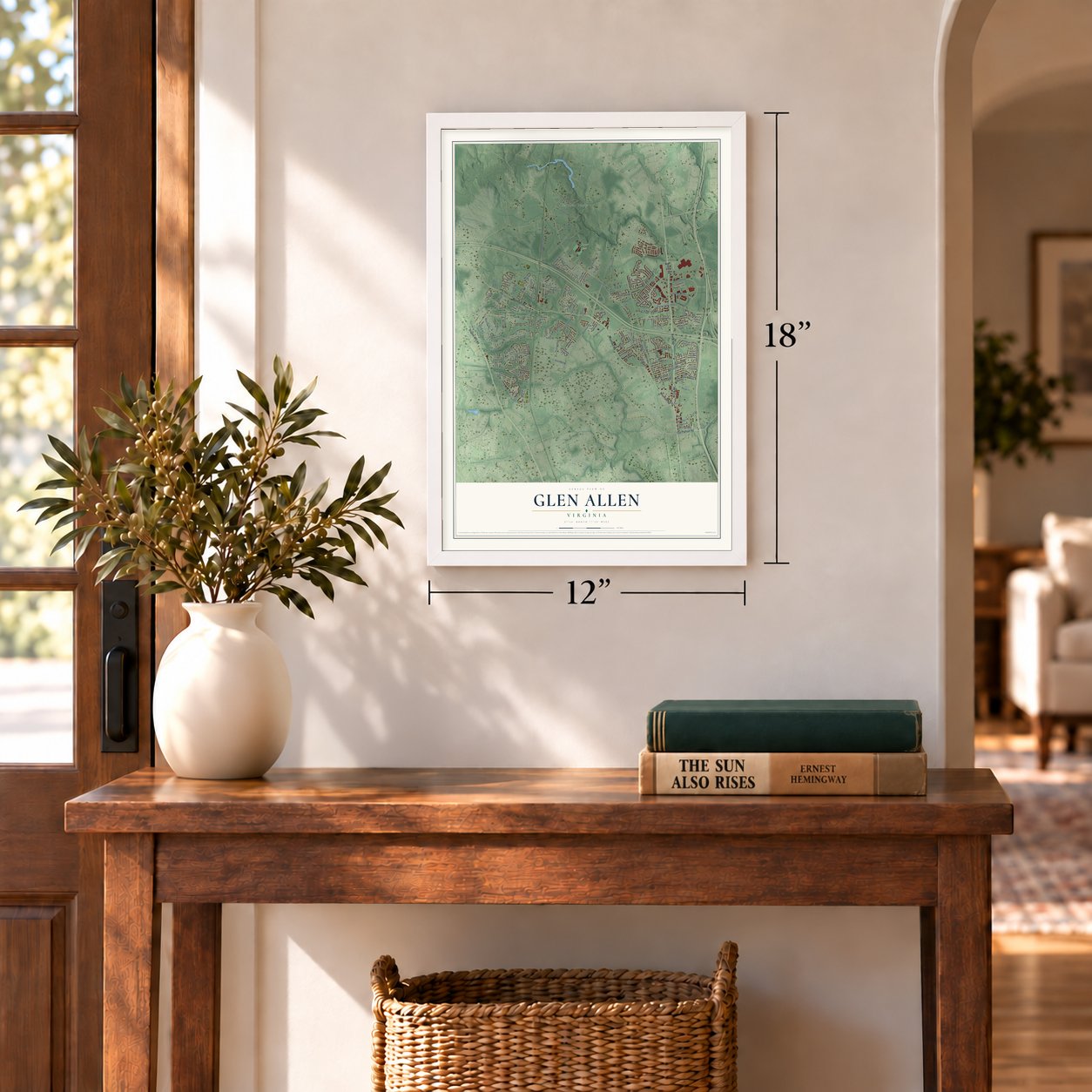
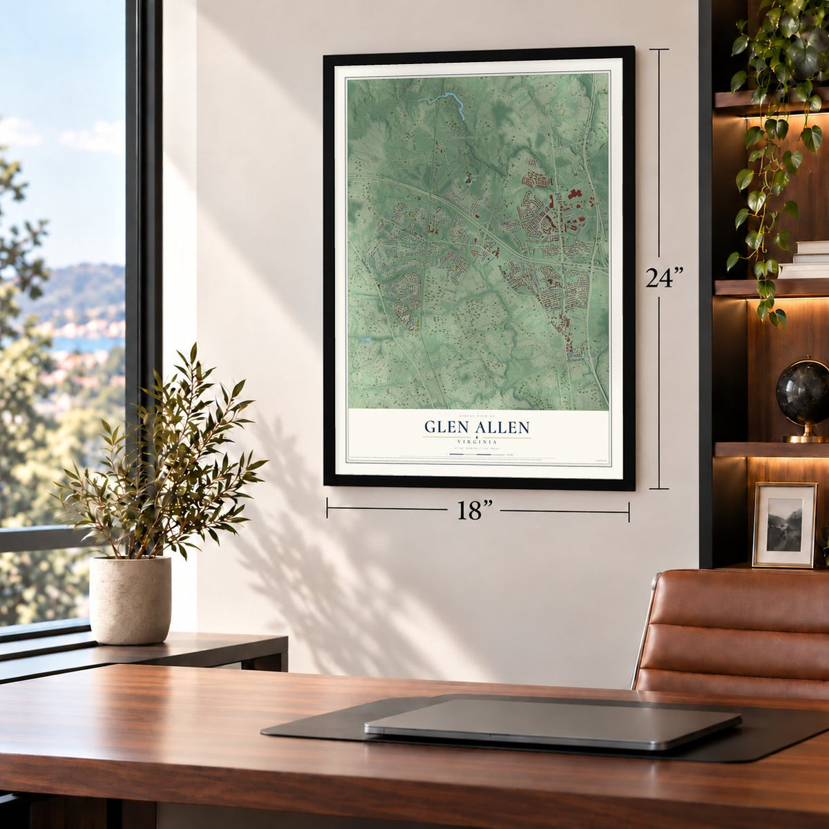
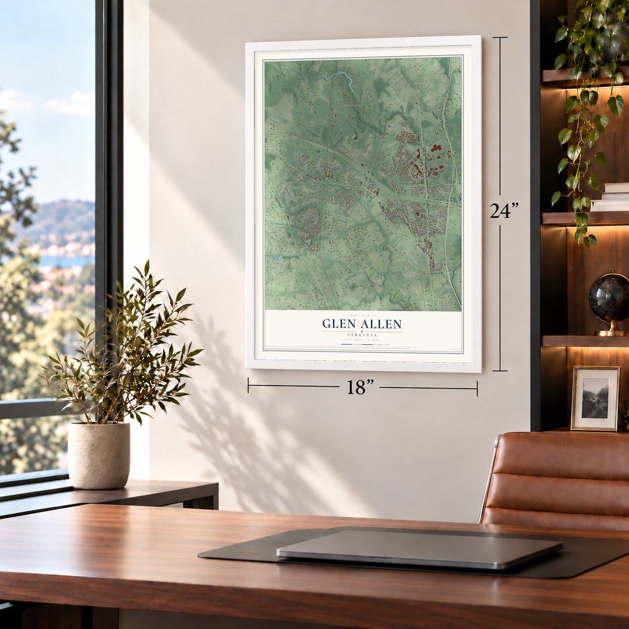

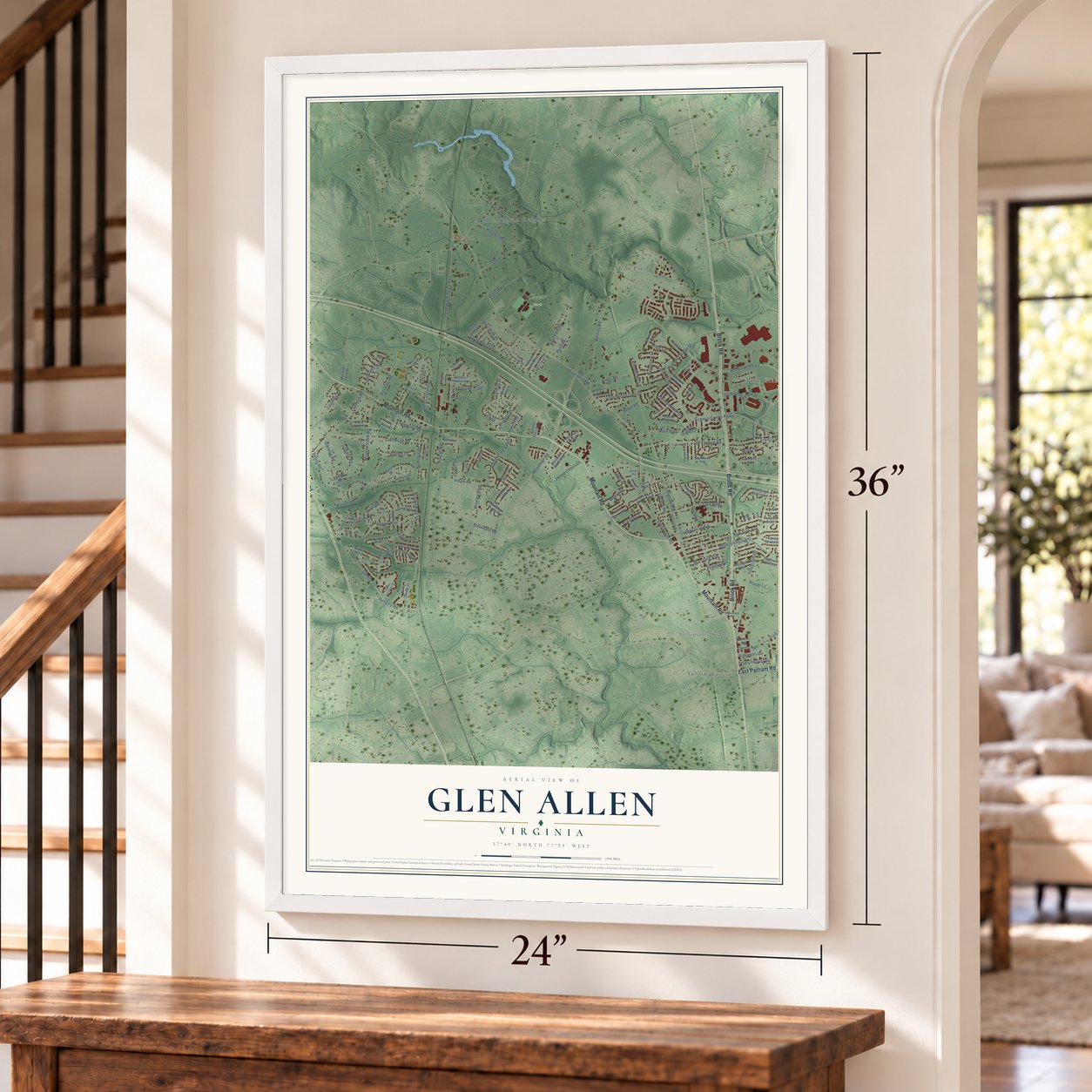

Free U.S. delivery 7 to 10 days after you order
Glen Allen, Virginia Map Art
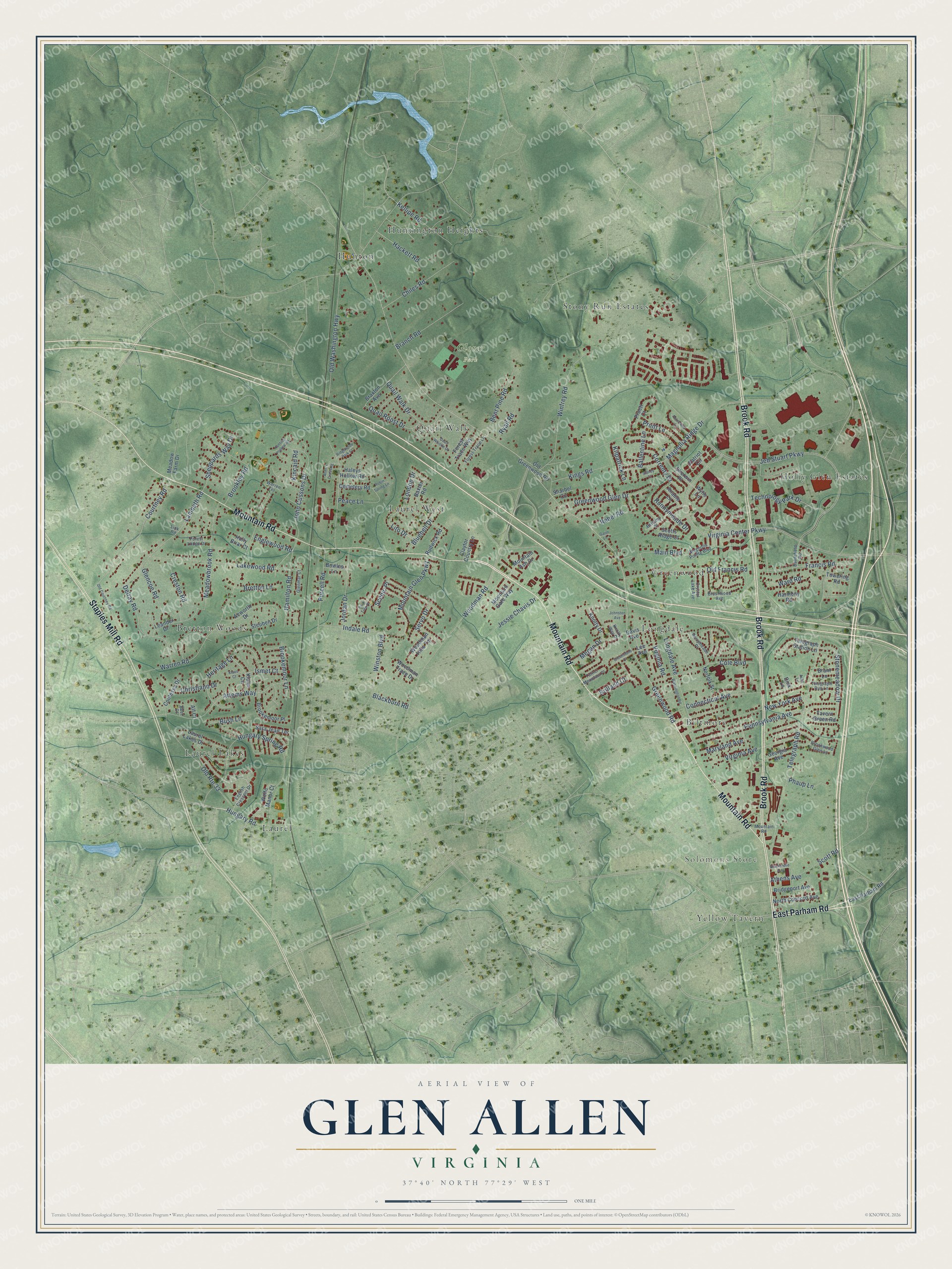
A new map of Glen Allen, Virginia, made in 2026 and printed to order on thick archival matte paper.
12" x 18" Archival Matte Print
A Map of Home. A Work of Art.
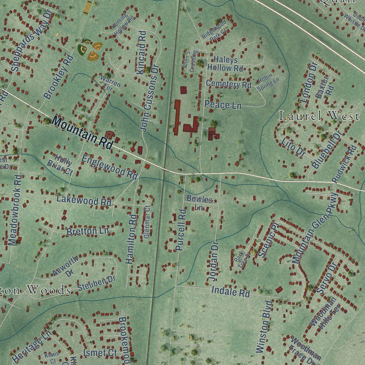
Explore Glen Allen, Virginia from a whole new perspective. Created using aerial imagery and detailed geographic data, this map captures Glen Allen building by building, with labeled streets, familiar landmarks, and shaded topographical relief that highlights the natural contours of the landscape.
Combining modern data with the timeless character of a vintage atlas, this map is just as interesting up close as it is beautiful on the wall. Whether you grew up in Glen Allen, spent memorable years there, or call it home today, this unique map is a great way to celebrate a place that means something to you. Zoom in on the preview to look for your street, and then order a print to put your memories on the wall.
Three ways to hang it
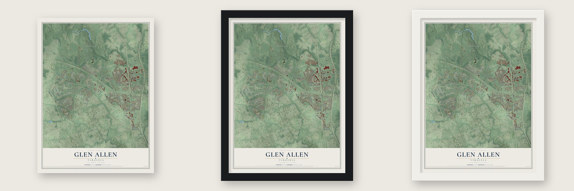
Unframed archival matte, a black wood frame or a white wood frame.
Up close
Geography Worth Displaying
This map was created using accurate cartographic data and authoritative geographic sources, including the U.S. Geological Survey and the Census Bureau. The map brings together terrain, waterways, roads, and building detail. The majority of the streets are labeled, houses are accurately depicted, and the topography is derived from government sources. Combining local data with carefully composed color and shading leads to this beautifully detailed Glen Allen artwork for your wall.
Rather than simply showing street outlines, we’ve included as many of the street names as we could reasonably fit on the map while keeping their names legible. Zoom in on the high resolution preview to see exactly what’s on the map. We truly set out to create a statement piece for anyone who loves Glen Allen. So whether it’s for you, or a gift for someone you love, we hope this map of Glen Allen brings back fond memories.
Read the story behind this map of Glen Allen, Virginia from 2026.

About Glen Allen, Virginia
Glen Allen is a community of 16,187 people in Henrico County, about 11 miles north-northwest of downtown Richmond. When trains began running here in 1836, the stop was called Mountain Road Crossing. The settlement later took the name of the home place of Mrs. Benjamin Allen, who owned land in the area.
For most of its life Glen Allen was farm country. It has since grown into a suburb of Richmond, and its population rose from 14,774 in 2010 to 16,187 in 2020. The Chickahominy River marks its northern edge, where Henrico County meets Hanover County.
- Captain John CussonsGlen Allen's best-known resident was born in England and served as a Confederate scout. After the Civil War he settled here, where he wrote books and started businesses, and the printing company he founded did well. Later he opened Forest Lodge, a stylish resort hotel right beside the railroad tracks.
- Meadow Farm, patented 1713William Sheppard took out the first patent on the land that became Meadow Farm in 1713, more than a century before the railroad came through.
Find your street
Names on the Glen Allen map
Every name below is printed on this map. Look for your street, your school, the park where you played, or the pond down the road.
Places and landmarks15
- Solomons Store
- Glover Park
- Biltmore
- Bretton Woods
- Greenwood
- Holly Glen Estates
- Huntington Heights
- Hunton
- Laurel
- Laurel Lakes
- Laurel West
- Longdale
Show all 15 places
- Quail Walk
- Stony Run Estates
- Yellow Tavern
Streets and roads162
- Mountain Road
- Brook Road
- East Parham Road
- Staples Mill Road
- Hungary Road
- Stonemeadow Drive
- Telegraph Road
- Magnolia Ridge Drive
- Courtney Road
- Greenwood Road
- Virginia Center Parkway
- Jeb Stuart Parkway
- Woodman Road
- Old Washington Highway
- Francis Road
- Warren Road
- Hungary Spring Road
- Lakewood Road
- Lambeth Road
- Attems Way
- Winfrey Road
- New York Avenue
- Heritage Lane
- Longdale Avenue
- Maryland Avenue
- Connecticut Avenue
- John Cussons Drive
- Pennsylvania Avenue
- Old Route 33
- Meadowbrook Road
Show all 162 streets
- Cole Boulevard
- Virginia Avenue
- Technology Park Drive
- Delray Road
- Greenwood Glen Drive
- Mountain Glen Parkway
- Hamilton Road
- Indale Road
- Chiles Road
- Quail Walk Drive
- Branch Road
- Jordan Drive
- Purcell Road
- Old Francis Road
- Bent Pine Road
- Runnymeade Drive
- Kellipe Road
- Jessie Chavis Drive
- Bluebell Drive
- Sheppards Way Drive
- Virginia Road
- Winston Boulevard
- Main Boulevard
- Quail Roost Drive
- Christiano Drive
- Kings Road
- Brookley Road
- London Drive
- Megan Drive
- Peace Lane
- Correnty Drive
- Brookemoor Lane
- Rebel Road
- Scott Road
- Ballentine Lane
- Hackett Road
- Pruitt Lane
- Creston Road
- Brilland Court
- Glencoe Road
- Ryall Road
- Bretton Lane
- Phaup Lane
- Englewood Road
- Ismet Court
- Blackburn Road
- Servo Drive
- Kilpatrick Lane
- Bush Lane
- Lito Drive
- Athens Avenue
- Ward Road
- Scenic Place
- Kincaid Road
- Tavern Green Road
- Norfolk Street
- Rudwick Road
- Steuben Drive
- Patriot Circle
- Acworth Drive
- Braxton Avenue
- Wolfe Manor Court
- Davis Avenue
- Laurel Lakes Drive
- Leander Drive
- Lee Avenue
- Old Greenwood Road
- Klaus Circle
- Harmony Road
- North Concord Avenue
- Forest Trace Way
- Brookemoor Place
- Claytor Country Lane
- Mountain Ash Drive
- Telegraph Station Lane
- Knotty Drive
- Haleys Hollow Road
- Contessa Drive
- Bridgeport Avenue
- Sara Jean Terrace
- Sherwin Place
- Cemetery Road
- Meadow Farm Drive
- Pruett Court
- Woodman Hills Terrace
- Georgia Avenue
- Mountain Gate Way
- Brant Lane
- Woodman Trace Drive
- Towering Road
- Bowles Lane
- Anable Lane
- Wylie Lane
- Scotts Ridge Court
- Sharbel Circle
- Baxter Road
- Holly Briar Court
- Dink Lane
- Alf Court
- English Crescent Drive
- Battlefield Road
- Bellamy Place
- Berrymeade Place
- Magnolia Pointe Boulevard
- Forest Trace Lane
- Crystal Lake Avenue
- Telegraph Run Lane
- Brushwood Avenue
- Turner Mountain Place
- Brookwood Glen Lane
- Forest Lodge Drive
- Glenmar Court
- Knotty Way Drive
- Warren Terrace
- Edel Court
- Link Road
- Old Courtney Road
- Park Tree Place
- Washington Road
- Quail Whistle Drive
- Blackstone Avenue
- Peterfield Lane
- Allen's Crossing
- Hunting Hollow Road
- Greenstone Court
- Ridgewood Park Court
- Johnston Avenue
- Robin Spring Lane
- Klaus Court
- Sidney Court
- Garth Lane
- Aubs Lane
Names are listed as they appear on the printed map. Zoom into the product photos to find them.
The art of mapping a place
How This Map Was Made
Real places. Remarkable detail. Discover the layers that turn geographic data into a map of home.

The view from above
Aerial imagery reveals the character of the land: woodland, open fields, and the patterns of a place.

The shape of the land
Elevation data brings hills, valleys, and subtle changes in the landscape into view.

The details of home
Roads, waterways, and building footprints come together to make the map feel unmistakably local.

Geography becomes art
Considered color, shading, and typography bring the layers together in a map made for your wall.


Process illustrated with Mendon, Massachusetts. Aerial imagery: USDA NAIP. Terrain: USGS 3D Elevation Program. Map details and finished artwork: KNOWOL.
The Details
About This Print
Choose an archival matte print, or a black or white Ayous wood frame. The archival matte print is unframed.
Select your size and finish above to see the matching product image and price.
Materials & Craftsmanship
A contemporary map with the character of a classic atlas, printed on archival matte paper. Optional frames are made from Ayous wood.
Your printed map does not include the watermark shown in the full-map preview.
Shipping & Delivery
Free shipping within the United States. Every print is made to order in the USA.
Buying a gift? Add a note in your cart and we'll include it. We never put prices in the package.
Prints ship within 2 to 3 business days. Allow 7 to 10 days total from ordering for delivery. Timing may vary during holidays or periods of high order volume.
Read our shipping policy.
Returns and damaged prints
Each print is made to order. Change-of-mind refunds are not available after production.
If your print arrives damaged, misprinted or incorrect, contact support@knowol.com within 30 days of receiving it. Include your order number, photos and a description of the issue.
Read our full refund and replacement policy. For questions about your order, email support@knowol.com.
Find your town
Looking for another city?
Find a map of home in our Virginia collection, or any town in the country.
Nearby
Maps of towns near Glen Allen
Know someone from one of these towns? Their map makes a great gift.
 Laurel
, Virginia
From $39.99See the map
 Lakeside
, Virginia
From $39.99See the map
 Dumbarton
, Virginia
From $39.99See the map
More maps nearby: Chamberlayne, Innsbrook, Ashland, Wyndham and Short Pump.