
Search for another town


Free U.S. delivery 7 to 10 days after you order
Lebanon, Ohio Map Art
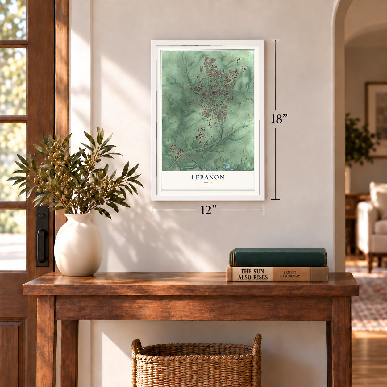
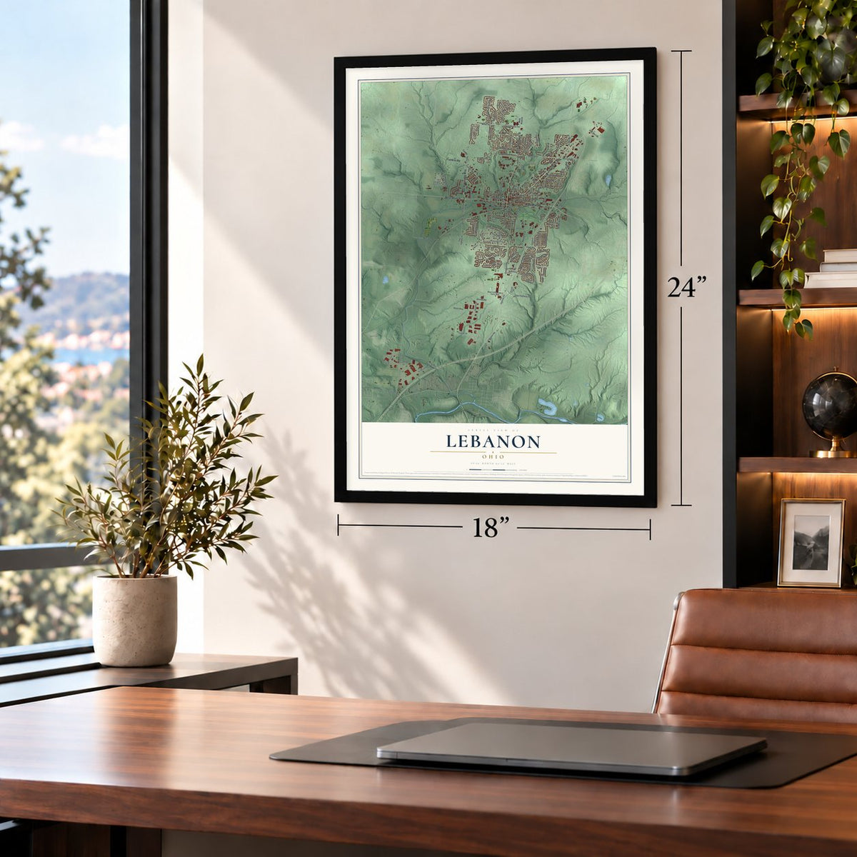
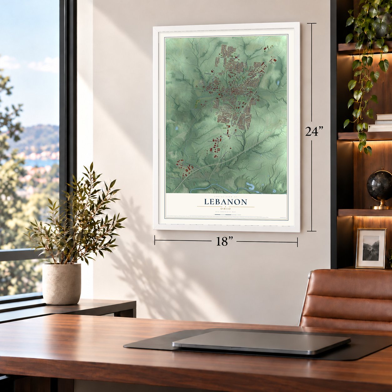
A new map of Lebanon, Ohio, made in 2026 and printed to order on thick archival matte paper.
12" x 18" Archival Matte Print
A Map of Home. A Work of Art.
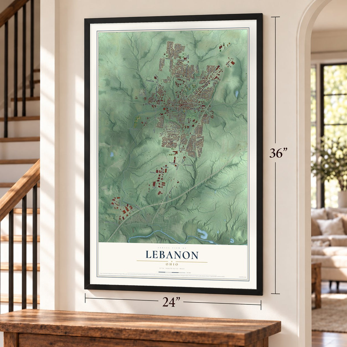
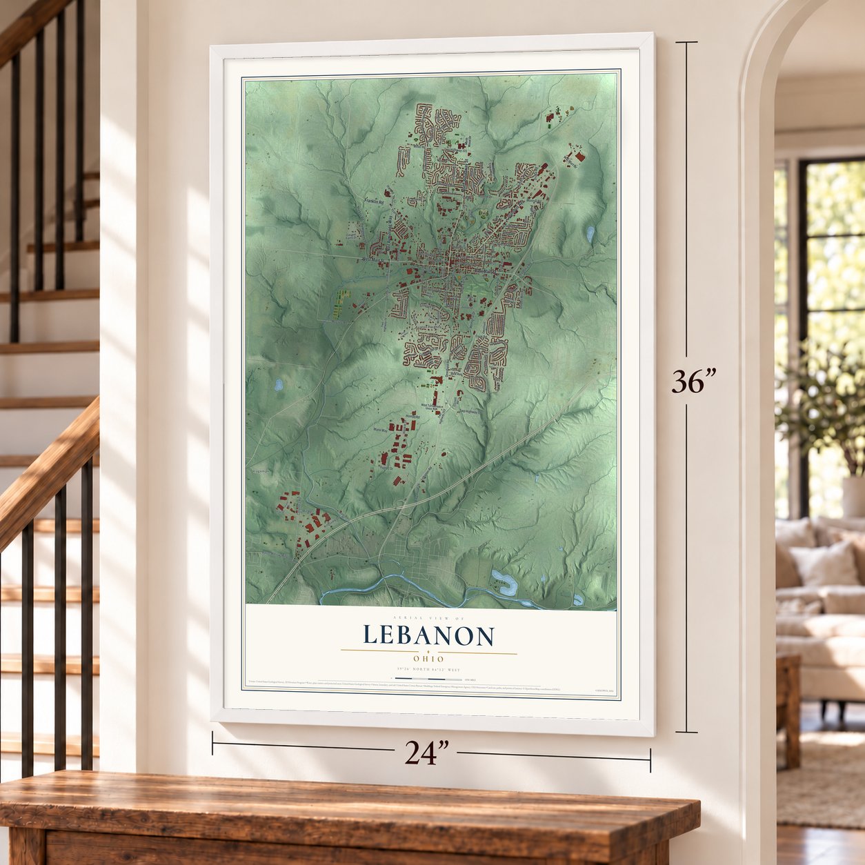
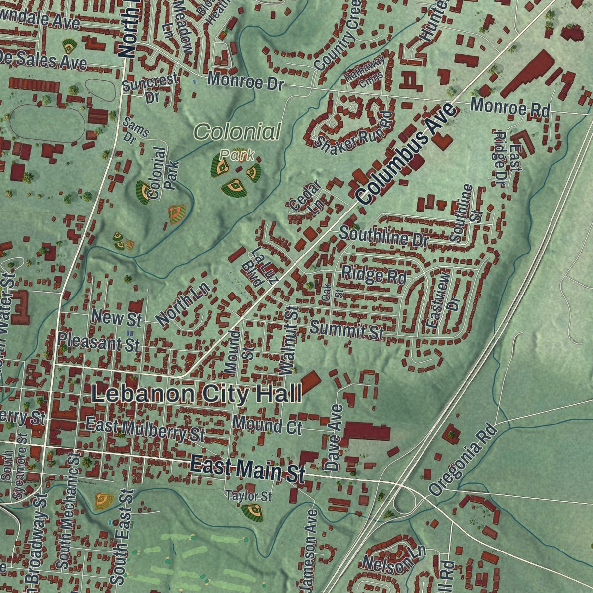
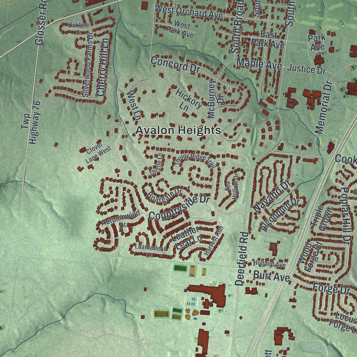
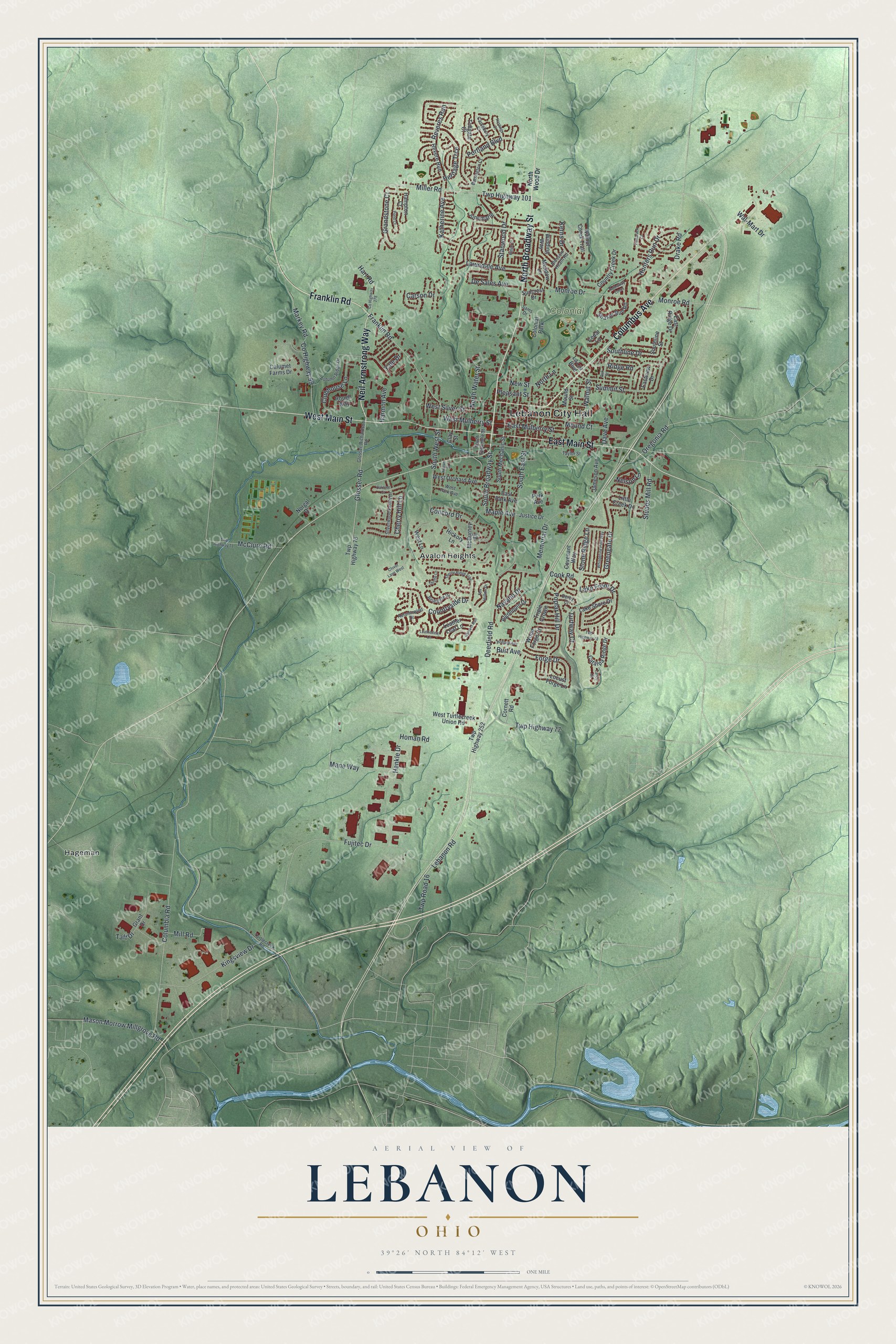
Explore Lebanon, Ohio from a whole new perspective. Created using aerial imagery and detailed geographic data, this map captures Lebanon building by building, with labeled streets, familiar landmarks, and shaded topographical relief that highlights the natural contours of the landscape.
Combining modern data with the timeless character of a vintage atlas, this map is just as interesting up close as it is beautiful on the wall. Whether you grew up in Lebanon, spent memorable years there, or call it home today, this unique map is a great way to celebrate a place that means something to you. Zoom in on the preview to look for your street, and then order a print to put your memories on the wall.
Three ways to hang it
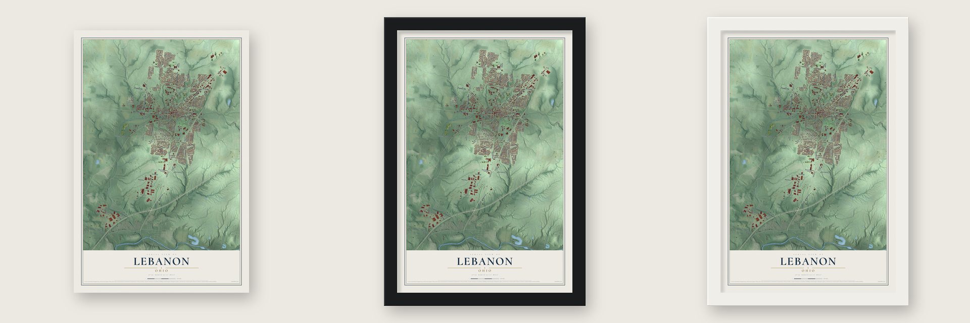
Unframed archival matte, a black wood frame or a white wood frame.
Up close
Geography Worth Displaying
This map was created using accurate cartographic data and authoritative geographic sources, including the U.S. Geological Survey and the Census Bureau. The map brings together terrain, waterways, roads, and building detail. The majority of the streets are labeled, houses are accurately depicted, and the topography is derived from government sources. Combining local data with carefully composed color and shading leads to this beautifully detailed Lebanon artwork for your wall.
Rather than simply showing street outlines, we’ve included as many of the street names as we could reasonably fit on the map while keeping their names legible. Zoom in on the high resolution preview to see exactly what’s on the map. We truly set out to create a statement piece for anyone who loves Lebanon. So whether it’s for you, or a gift for someone you love, we hope this map of Lebanon brings back fond memories.

About Lebanon, Ohio
Lebanon is a city of 20,841 people and the seat of Warren County, in the Cincinnati area. Its first European settler, Ichabod Corwin, arrived from Bourbon County, Kentucky, in March 1796 and built a cabin on the north branch of Turtle Creek. That cabin site is now part of the Berry Intermediate School grounds on North Broadway, where the Warren County Historical Society put up a monument.
In September 1802 the town was laid out on land owned by Corwin and three others: Silas Hurin, Ephraim Hathaway and Samuel Manning. It took its name from the Lebanon of the Bible because so many eastern red cedars grew here, much like the cedars of that land. The city still goes by the Cedar City today.
- The Wagon Boy on West MainThomas Corwin, Ichabod Corwin's nephew, earned the nickname Wagon Boy in the War of 1812. His brother-in-law Phineas Ross built a West Main Street house and moved into it in 1818. Corwin lived there from 1839 until he died in 1865. He became Ohio's governor in 1840, spoke against the Mexican War in the U.S. Senate in 1847 and later served as Lincoln's minister to Mexico. A historical marker stands at 210 West Main.
- Ohio's oldest hotelThe Golden Lamb has taken in travelers since 1803, the year after the town was laid out, and no hotel in Ohio is older. The building standing today grew up around the inn's 1815 rebuilding, and 12 presidents have visited it. The Golden Lamb joined the National Register in 1978.
- Glendower, built in 1836Amos Bennett built Glendower in 1836 for John Milton Williams, a Lebanon merchant, who named the house for Owain Glyndŵr. It is admired as one of the Midwest's best Greek Revival homes. The house joined the National Register in 1970, and the Warren County Historical Society now owns it as a state memorial.
- The Shaker CurseThe Shakers built a settlement called Union Village about 4 miles west of town, and a local man, Malchalm Worley, became their first convert. A city legend says the Shakers cursed Lebanon after a quarrel with some locals, which is why it never grew as large as Cincinnati or Dayton. In fact the Shakers prospered here for years. Because they had no children and relied on converts, almost none were left in Ohio by 1900.
- A city-run phone companyIn 1999 Lebanon began running its own cable television and telephone service, along with fiber Internet. Few cities in the nation have tried that. The system ran up more than $8 million in debt, but residents paid as much as 50% less than their neighbors and saved over $40 million. In the 2006 general election, voters chose to sell it to Cincinnati Bell.
Find your street
Names on the Lebanon map
Every name below is printed on this map. Look for your street, your school, the park where you played, or the pond down the road.
Places and landmarks4
- Lebanon City Hall
- Colonial Park
- Avalon Heights
- Hageman
Streets and roads155
- North Broadway Street
- Columbus Avenue
- Franklin Road
- Neil Armstrong Way
- West Main Street
- East Main Street
- Miller Road
- Twp Highway 101
- West Mulberry Street
- South Broadway Street
- Stubbs Mill Road
- Glosser Road
- Maple Avenue
- Fujitec Drive
- Twp Road 16
- Ridge Road
- Deerfield Road
- Monroe Drive
- Monroe Road
- Lebanon Road
- Cook Road
- Twp Highway 77
- Columbia Road
- Carson Drive
- County Highway 99
- Markey Road
- Summit Street
- South East Street
- Countryside Drive
- Henkle Drive
Show all 155 streets
- Kingsview Drive
- Poplar Hill Drive
- South West Street
- Greengate Drive
- Lake Front Drive
- Concord Drive
- Reveres Run
- Hunters Run Drive
- Memorial Drive
- Mason Morrow Millgrove Road
- Cherry Hill Lane
- Heritage Trce
- North Water Street
- Southline Drive
- Clubhouse Lane
- Lawndale Avenue
- East Mulberry Street
- Forge Drive
- West Silver Street
- Katherine Avenue
- Mane Way
- Grandstone Court
- McClure Road
- Mill Road
- Harmon Avenue
- Pleasant Street
- Kerns Drive
- Stone Ridge Lane
- Portland Boulevard
- Hart Road
- De Sales Avenue
- Stanwood Drive
- Navaho Drive
- Burt Avenue
- Drake Road
- Walnut Street
- Dave Avenue
- Turfway Court
- Mound Court
- Oregonia Road
- Nelson Lane
- Wal-Mart Drive
- New Street
- Homan Road
- North Lane
- Yale Drive
- Taft Drive
- Shaker Run Road
- Locust Forge Lane
- Grant Drive
- McBurney Drive
- Southline Street
- Meadow Lane
- Mound Street
- Wood Forge Court
- Catalpa Ridge Drive
- Country Creek Drive
- West Turtlecreek Union Road
- Calumet Farms Drive
- South Mechanic Street
- Covenant Way
- West Orchard Avenue
- Twp Highway 76
- Revere Run
- Tollgate Court
- Park Avenue
- Twp Highway 252
- Rough Way
- West Lane
- Triple Crown
- Lake Shore Drive
- Jameson Avenue
- East Ridge Drive
- Hampton Court
- Winding Way
- Justice Drive
- Walnut Creek Trail
- Algonquin Drive
- East Park Avenue
- Norgal Drive
- Hickory Lane
- Leather Leaf Lane
- Little Creek Drive
- Junemarie
- Eastview Drive
- Cornett Road
- Suncrest Drive
- La Luz Boulevard
- Cedar Lane
- Clay Street
- North Wood Drive
- Glosser-Richardson Road
- Autumn Ridge Drive
- Silverwood Farms Drive
- Barrington Court
- Cantebury Court
- Briargate Drive
- South Sycamore Street
- Turtlecreek Road
- Autumnwind Drive
- West Park Avenue
- Taylor Street
- Blossom Heath Road
- Derby Court
- Sams Drive
- Twp Highway 71
- Oak Street
- Thorny Ridge Trail
- County Highway 278
- Whispering Pine Way
- Twp Highway 78
- Hathaway Cmns
- Fox Hollow Drive
- Tamarack Court
- Leatherleaf Lane
- Holland Avenue
- Harvest Run
- Hastings Court
- Clover Lane West
- Pond Court
- Thistle Lane
- Lance Court
- Keever Street
- Oaktree Court
- Ridge Court
Names are listed as they appear on the printed map. Zoom into the product photos to find them.
The art of mapping a place
How This Map Was Made
Real places. Remarkable detail. Discover the layers that turn geographic data into a map of home.

The view from above
Aerial imagery reveals the character of the land: woodland, open fields, and the patterns of a place.

The shape of the land
Elevation data brings hills, valleys, and subtle changes in the landscape into view.

The details of home
Roads, waterways, and building footprints come together to make the map feel unmistakably local.

Geography becomes art
Considered color, shading, and typography bring the layers together in a map made for your wall.


Process illustrated with Mendon, Massachusetts. Aerial imagery: USDA NAIP. Terrain: USGS 3D Elevation Program. Map details and finished artwork: KNOWOL.
The Details
About This Print
Choose an archival matte print, or a black or white Ayous wood frame. The archival matte print is unframed.
Select your size and finish above to see the matching product image and price.
Materials & Craftsmanship
A contemporary map with the character of a classic atlas, printed on archival matte paper. Optional frames are made from Ayous wood.
Your printed map does not include the watermark shown in the full-map preview.
Shipping & Delivery
Free shipping within the United States. Every print is made to order in the USA.
Buying a gift? Add a note in your cart and we'll include it. We never put prices in the package.
Prints ship within 2 to 3 business days. Allow 7 to 10 days total from ordering for delivery. Timing may vary during holidays or periods of high order volume.
Read our shipping policy.
Returns and damaged prints
Each print is made to order. Change-of-mind refunds are not available after production.
If your print arrives damaged, misprinted or incorrect, contact support@knowol.com within 30 days of receiving it. Include your order number, photos and a description of the issue.
Read our full refund and replacement policy. For questions about your order, email support@knowol.com.
Find your town
Looking for another city?
Find a map of home in our Ohio collection, or any town in the country.
Nearby
Maps of towns near Lebanon
Know someone from one of these towns? Their map makes a great gift.
 South Lebanon
, Ohio
From $39.99See the map
 Kings Mills
, Ohio
From $39.99See the map
 Hunter
, Ohio
From $39.99See the map
More maps nearby: Mason, Morrow, Maineville, Roachester and Landen.