
Search for another town





Free U.S. delivery 7 to 10 days after you order
Leland, North Carolina Map Art
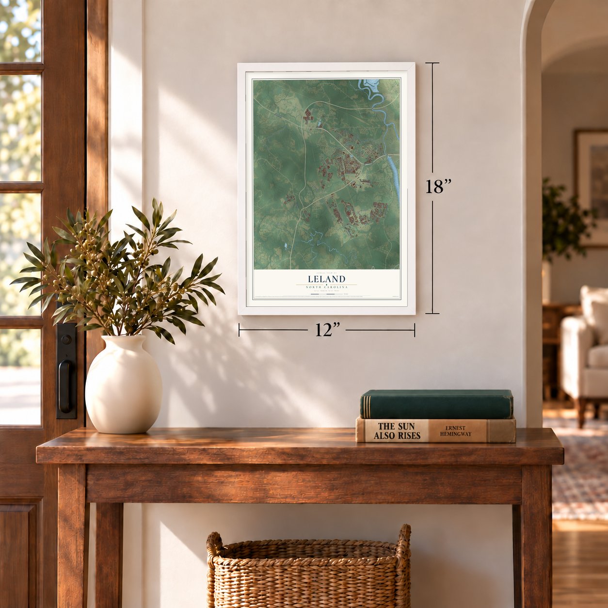
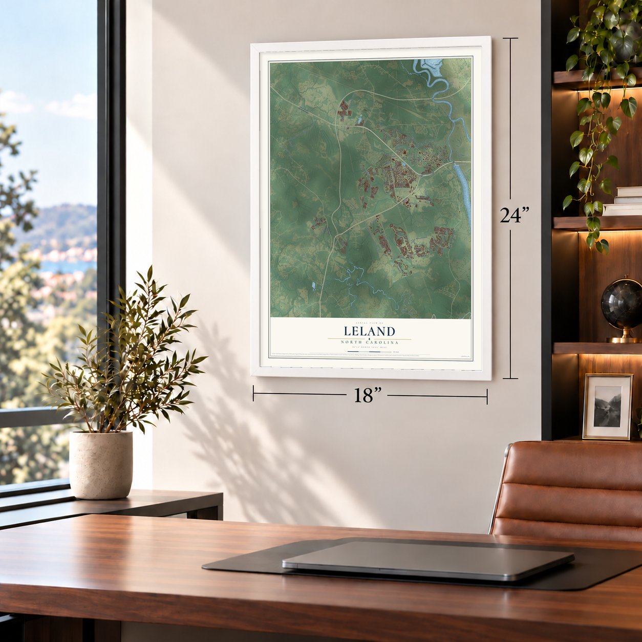
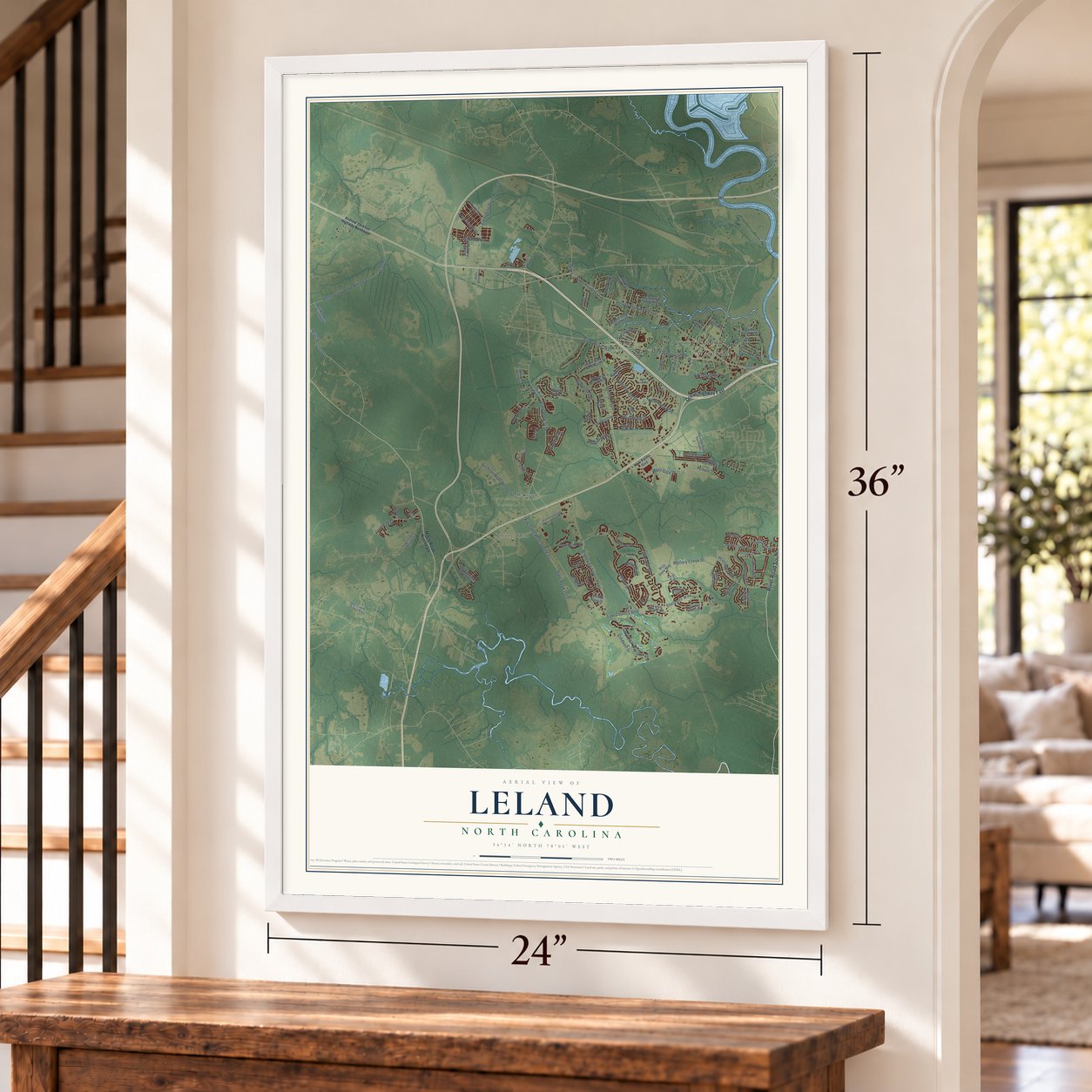
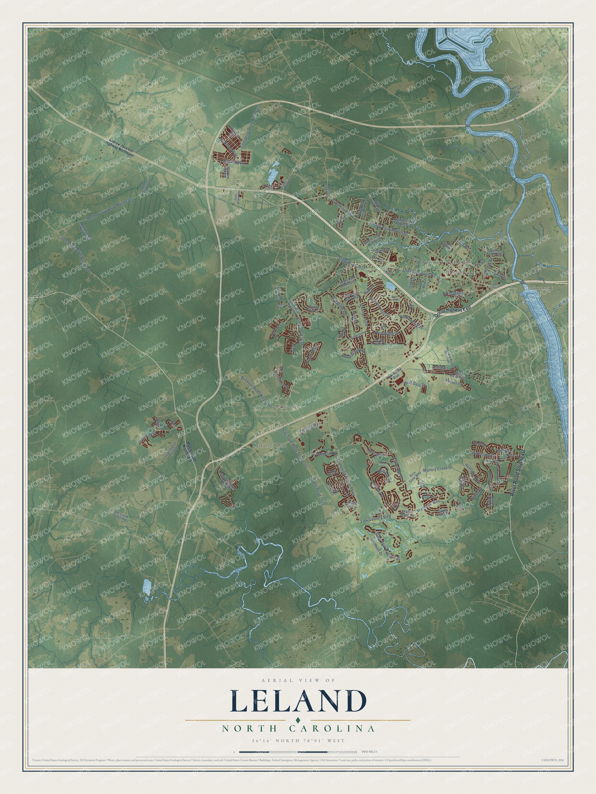
A new map of Leland, North Carolina, made in 2026 and printed to order on thick archival matte paper.
12" x 18" Archival Matte Print
A Map of Home. A Work of Art.
Explore Leland, North Carolina from a whole new perspective. Created using aerial imagery and detailed geographic data, this map captures Leland building by building, with labeled streets, familiar landmarks, and shaded topographical relief that highlights the natural contours of the landscape.
Combining modern data with the timeless character of a vintage atlas, this map is just as interesting up close as it is beautiful on the wall. Whether you grew up in Leland, spent memorable years there, or call it home today, this unique map is a great way to celebrate a place that means something to you. Zoom in on the preview to look for your street, and then order a print to put your memories on the wall.
Three ways to hang it
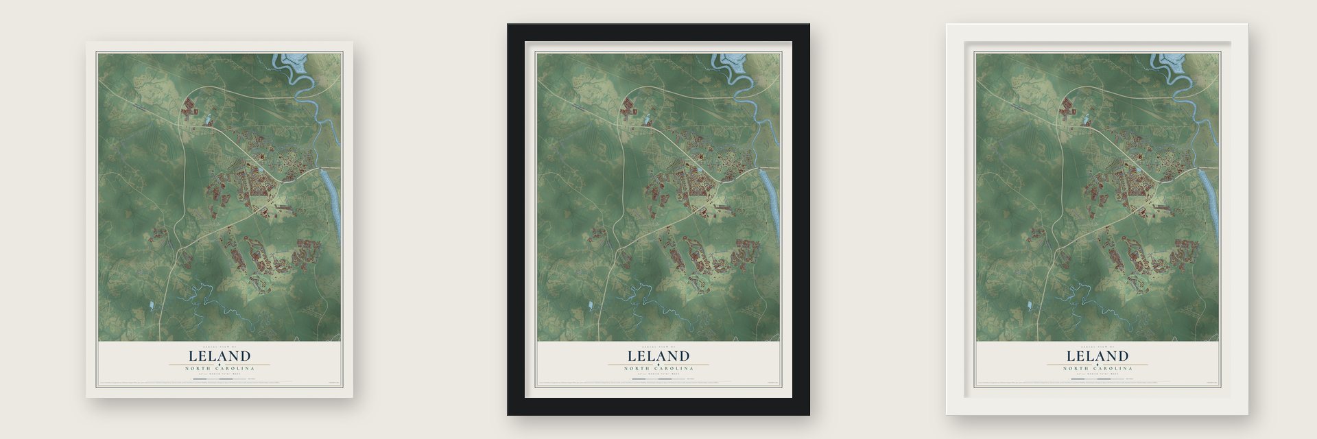
Unframed archival matte, a black wood frame or a white wood frame.
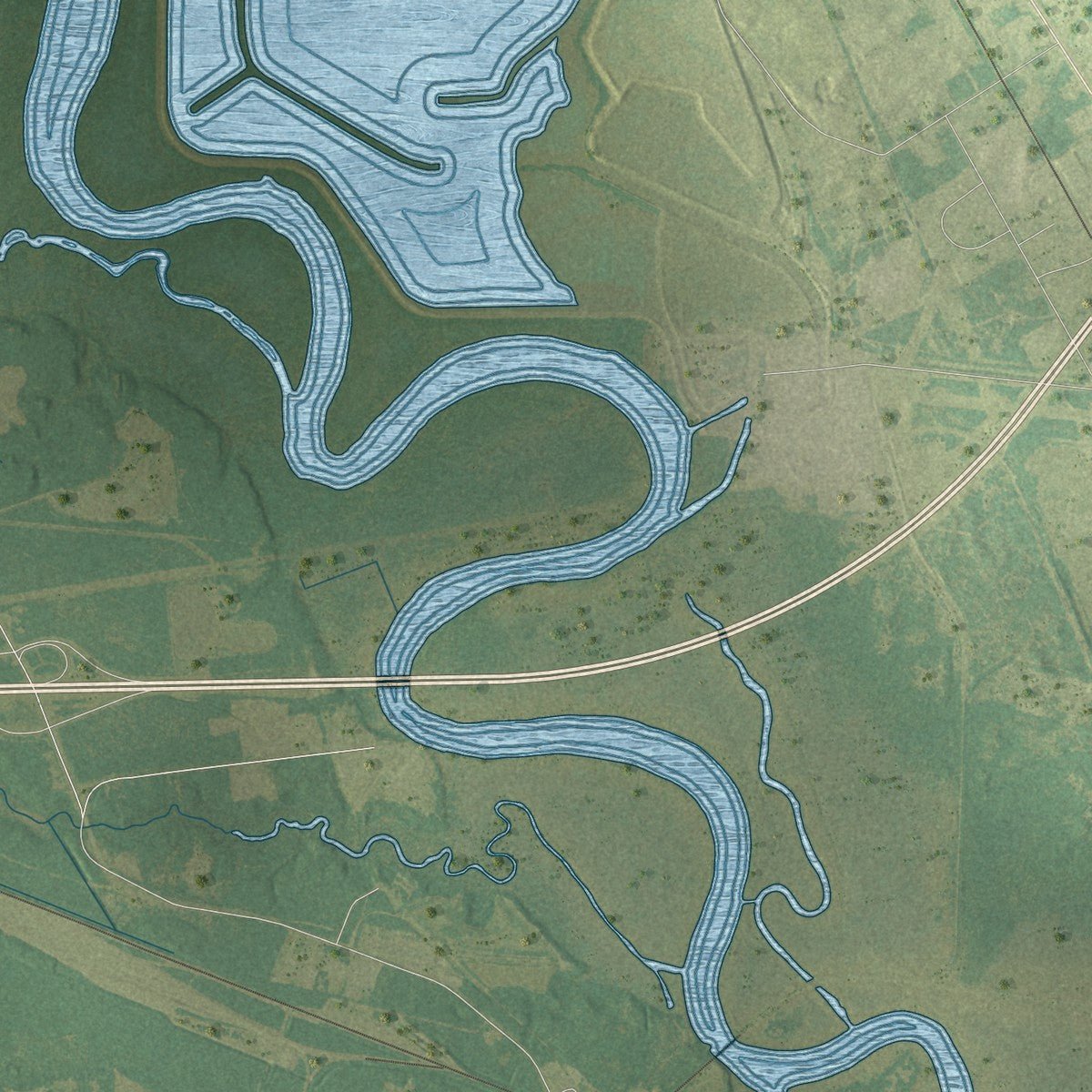
Up close
Geography Worth Displaying
This map was created using accurate cartographic data and authoritative geographic sources, including the U.S. Geological Survey and the Census Bureau. The map brings together terrain, waterways, roads, and building detail. The majority of the streets are labeled, houses are accurately depicted, and the topography is derived from government sources. Combining local data with carefully composed color and shading leads to this beautifully detailed Leland artwork for your wall.
Rather than simply showing street outlines, we’ve included as many of the street names as we could reasonably fit on the map while keeping their names legible. Zoom in on the high resolution preview to see exactly what’s on the map. We truly set out to create a statement piece for anyone who loves Leland. So whether it’s for you, or a gift for someone you love, we hope this map of Leland brings back fond memories.
Read the story behind this map of Leland, North Carolina from 2026.
About Leland, North Carolina
Leland is a town of 22,908 people in Brunswick County, just west of downtown Wilmington across the Brunswick River. It began as a small settlement at the spot where Village Road met the tracks of the Augusta, Columbia and Wilmington railroad. Its place near the river made it an early travel hub, since people could cross both the Brunswick and the Cape Fear from here. In 1897 Joseph W. Gay and his neighbors asked the Post Office Department in Washington for a post office. Gay became the first postmaster, and the place took the name of his nephew, Leland Adams.
For decades Leland had no town government, and its voters turned down a first try at incorporation in 1979. Ten years later, in March and April 1989, neighboring Belville tried and failed to annex the area. That push led the Leland civic association to work for incorporation so the community could stay independent. The vote passed 472 to 42, and Leland became a town on September 5, 1989.
“It was kind of a dirty trick. They made a mockery of the annexation laws.”
- Annexed an hour earlyBelville's commissioners voted to take in a business district roughly an hour before Leland's incorporation vote was final. Leland became a town anyway. Twelve members of the Leland Town Charter Commission ran it until Election Day of 1989, and Russell Baldwin became its first mayor.
- Three tries at mergingIn April 1996, while Franky Thomas was mayor, a plan to join Leland, its sanitary district, Belville and Navassa into one big town failed. A 2000 proposal to combine with the North Brunswick sanitary district, Navassa and Belville also failed, and in 2012 Leland courted Belville again. Belville is still its own town, wrapped by Leland on three sides.
- Firefighters since 1959Leland's fire department started in 1959 as a nonprofit volunteer group. It became part of the town government in 2017. Today it has over 40 paid career staff, along with part-time workers and volunteers, and it runs stations at 1004 Village Road and 1379 River Road.
- A gift from Kirby SullivanKirby Sullivan gave the town the land for Sturgeon Creek Park in 2005, and it is now called Cypress Cove Park. Most of it, 27 acres, is wetland, and another 1.2 acres sit on higher ground as uplands. It was Leland's first place to reach the water, with an overlook deck, a floating dock and a fishing area open to wheelchair users.
Find your street
Names on the Leland map
Every name below is printed on this map. Look for your street, your school, the park where you played, or the pond down the road.
Places and landmarks5
- Town of Leland
- Clairmont
- Lanvale
- Spring Hill
- Woodburn
Streets and roads117
- River Road Southeast
- Village Road Northeast
- State Road 1472
- West Gate Drive
- Brunswick Forest Parkway
- Low Country Boulevard
- Grandiflora Drive
- State Road 1438
- Old Fayetteville Road
- State Road 1437
- Mallory Creek Drive
- Cape Fear National Drive
- Shelmore Way
- Malmo Loop Road Northeast
- Kay Todd Road Southeast
- State Road 1553
- Woodwind Drive
- Wind Lake Way
- Lillibridge Drive
- Enterprise Drive Northeast
- Colon Mintz Road Northeast
- Buckeye Road Northeast
- Leesburg Drive
- Pine Harvest Drive
- Heartwood Drive
- Talmage Drive
- Northgate Drive
- Empie Drive
- Creswell Drive
- Westport Drive
Show all 117 streets
- Parkland Way
- Maplechase Drive
- Merestone Drive
- Ashland Way
- Lee Drive
- Fairview Road
- Slater Way
- Belshaw Drive
- Westover Drive
- Dixie Drive
- Bimini Drive
- Oak Lane
- Loop Road
- Ocean Highway East
- Maco Road Northeast
- State Road 1417
- Evangeline Drive
- Grayson Parkway
- Cross Water Circle
- Willow Pond Lane
- Night Harbor Drive
- Winding Trail Drive
- North Palm Drive
- Amber Pines Drive
- Springstone Drive
- Druids Glen Drive
- Ridgemont Drive
- State Road 1457
- Tylers Cove Way
- Appleton Way Northeast
- Rice Gate Way
- Wayne Street Northeast
- Combine Lane Southeast
- Stoney Point Drive
- Milliken Way Northeast
- Redfield Drive
- Morning View Way
- Timber Lane Northeast
- Cottonwood Lane
- State Road 1495
- Provincial Drive
- Cornerstone Drive
- Old Forest Drive
- New Pointe Boulevard
- South Brook Road
- Spring Glen Court
- South Palm Drive
- Old Creek Town Road
- Murrill Lane
- Fortuna Drive
- Still Bluff Lane
- Ringlet Court
- Ramble Drive
- Wyland Court
- Andrew Jackson Highway Northeast
- Lanvale Road Northeast
- Orchard Loop Road
- State Road 1475
- Forest View Circle
- Pinecliff Drive Northeast
- Holly Hills Drive Northeast
- Anslow Drive
- State Road 1455
- Nuns Trail Northeast
- Smeades Drive
- Raceway Road Southeast
- State Road 1494
- Long Leaf Drive
- Salter Path
- Brunswick Village Boulevard Southeast
- Killogren Way
- State Road 1426
- Lanterns Lane
- Water Lily Way
- Tara Forest Drive
- Aqua Lane
- Basin Street
- Batik Court
- Sun Skipper Lane
- Kincaid Place
- Jordan Lake Court
- Foxbow Cv
- Dalton Way
- Breman Lane
- Loyola Avenue
- Thomas Garst Lane
- Division Drive
Names are listed as they appear on the printed map. Zoom into the product photos to find them.
The art of mapping a place
How This Map Was Made
Real places. Remarkable detail. Discover the layers that turn geographic data into a map of home.

The view from above
Aerial imagery reveals the character of the land: woodland, open fields, and the patterns of a place.

The shape of the land
Elevation data brings hills, valleys, and subtle changes in the landscape into view.

The details of home
Roads, waterways, and building footprints come together to make the map feel unmistakably local.

Geography becomes art
Considered color, shading, and typography bring the layers together in a map made for your wall.


Process illustrated with Mendon, Massachusetts. Aerial imagery: USDA NAIP. Terrain: USGS 3D Elevation Program. Map details and finished artwork: KNOWOL.
The Details
About This Print
Choose an archival matte print, or a black or white Ayous wood frame. The archival matte print is unframed.
Select your size and finish above to see the matching product image and price.
Materials & Craftsmanship
A contemporary map with the character of a classic atlas, printed on archival matte paper. Optional frames are made from Ayous wood.
Your printed map does not include the watermark shown in the full-map preview.
Shipping & Delivery
Free shipping within the United States. Every print is made to order in the USA.
Buying a gift? Add a note in your cart and we'll include it. We never put prices in the package.
Prints ship within 2 to 3 business days. Allow 7 to 10 days total from ordering for delivery. Timing may vary during holidays or periods of high order volume.
Read our shipping policy.
Returns and damaged prints
Each print is made to order. Change-of-mind refunds are not available after production.
If your print arrives damaged, misprinted or incorrect, contact support@knowol.com within 30 days of receiving it. Include your order number, photos and a description of the issue.
Read our full refund and replacement policy. For questions about your order, email support@knowol.com.
Find your town
Looking for another city?
Find a map of home in our North Carolina collection, or any town in the country.
Nearby
Maps of towns near Leland
Know someone from one of these towns? Their map makes a great gift.
 Belville
, North Carolina
From $39.99See the map
 Navassa
, North Carolina
From $39.99See the map
 Hightsville
, North Carolina
From $39.99See the map
More maps nearby: Sandy Creek, Wrightsboro, Wilmington, Silver Lake and Northwest.