
Search for another town

Free U.S. delivery 7 to 10 days after you order
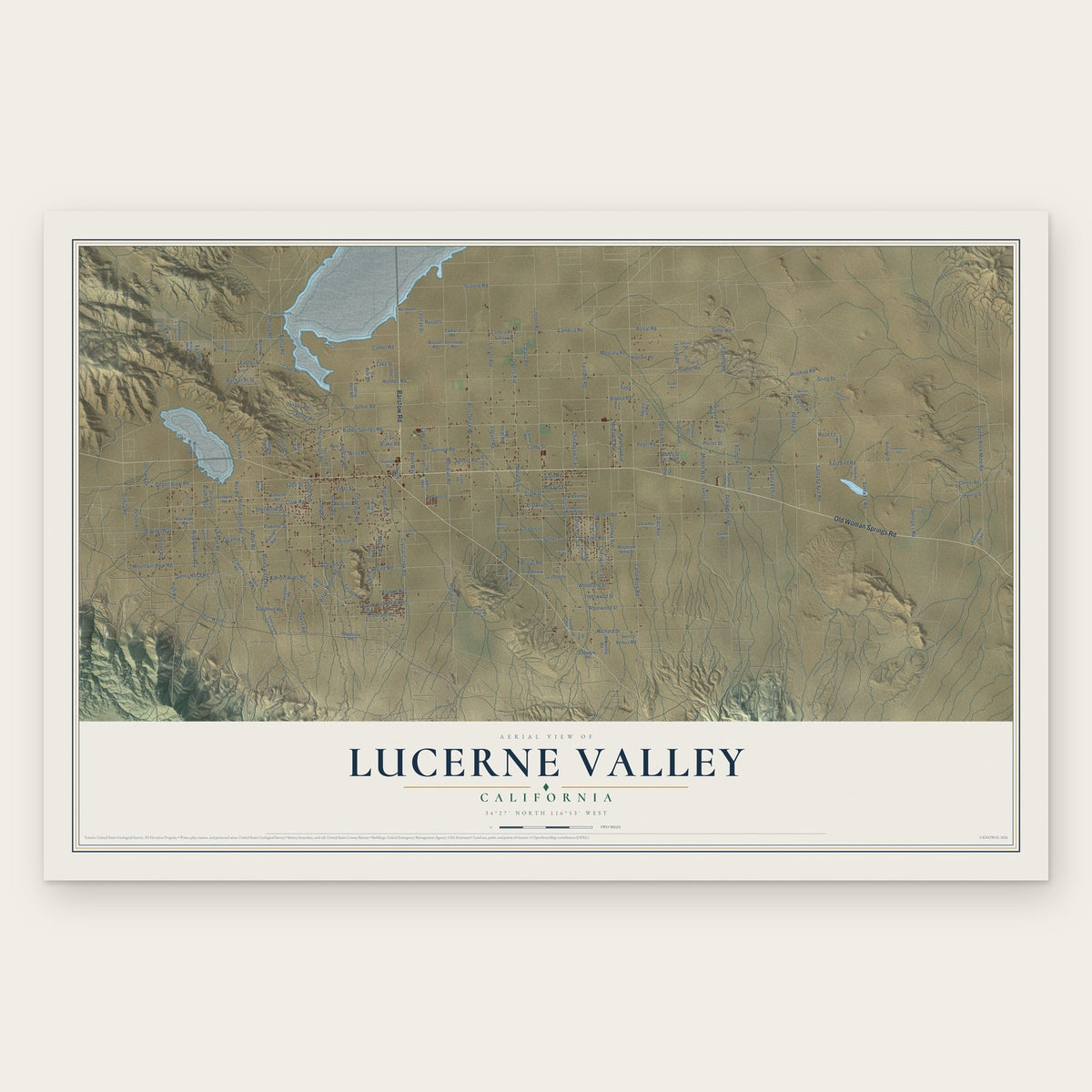
Lucerne Valley, California Map Art
Building by building, with labeled streets and shaded relief.
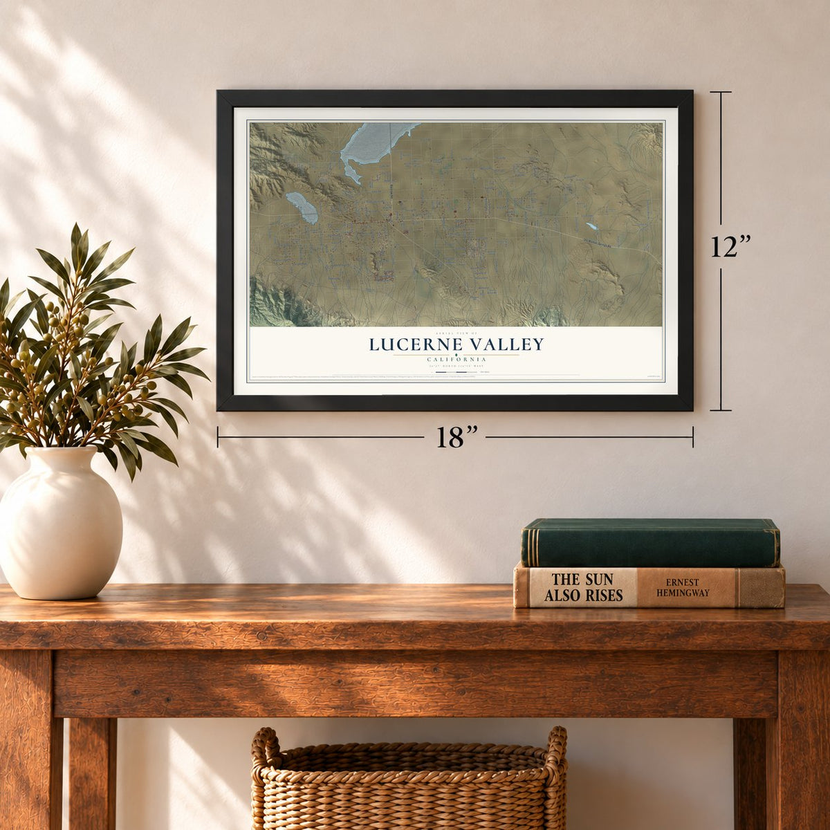
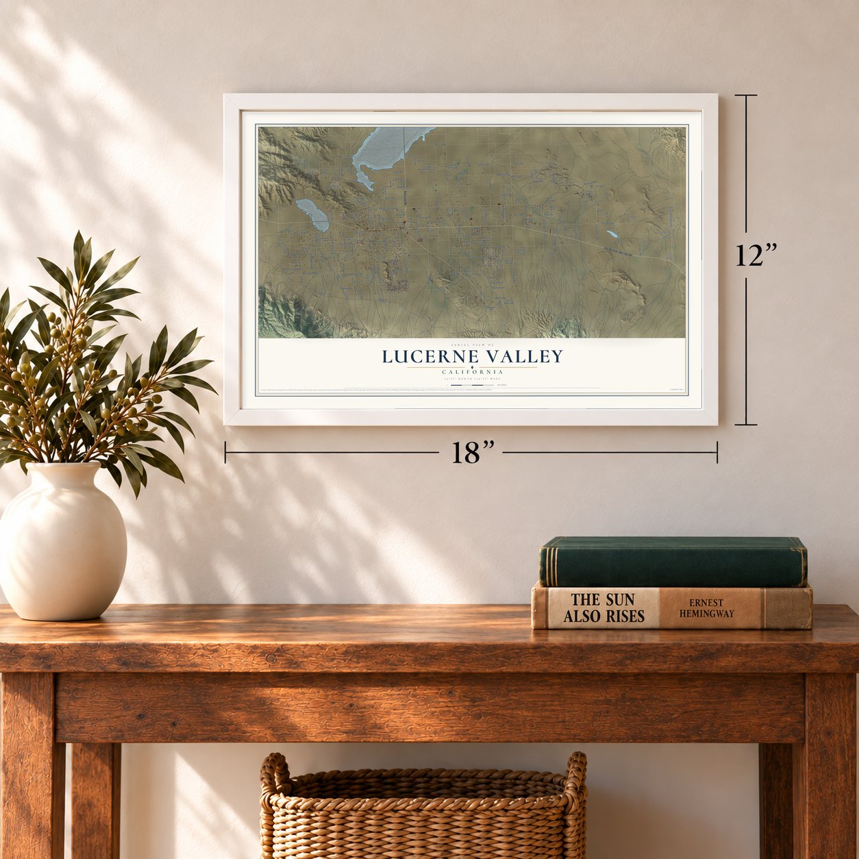
12" x 18" Archival Matte Print
A Map of Home. A Work of Art.
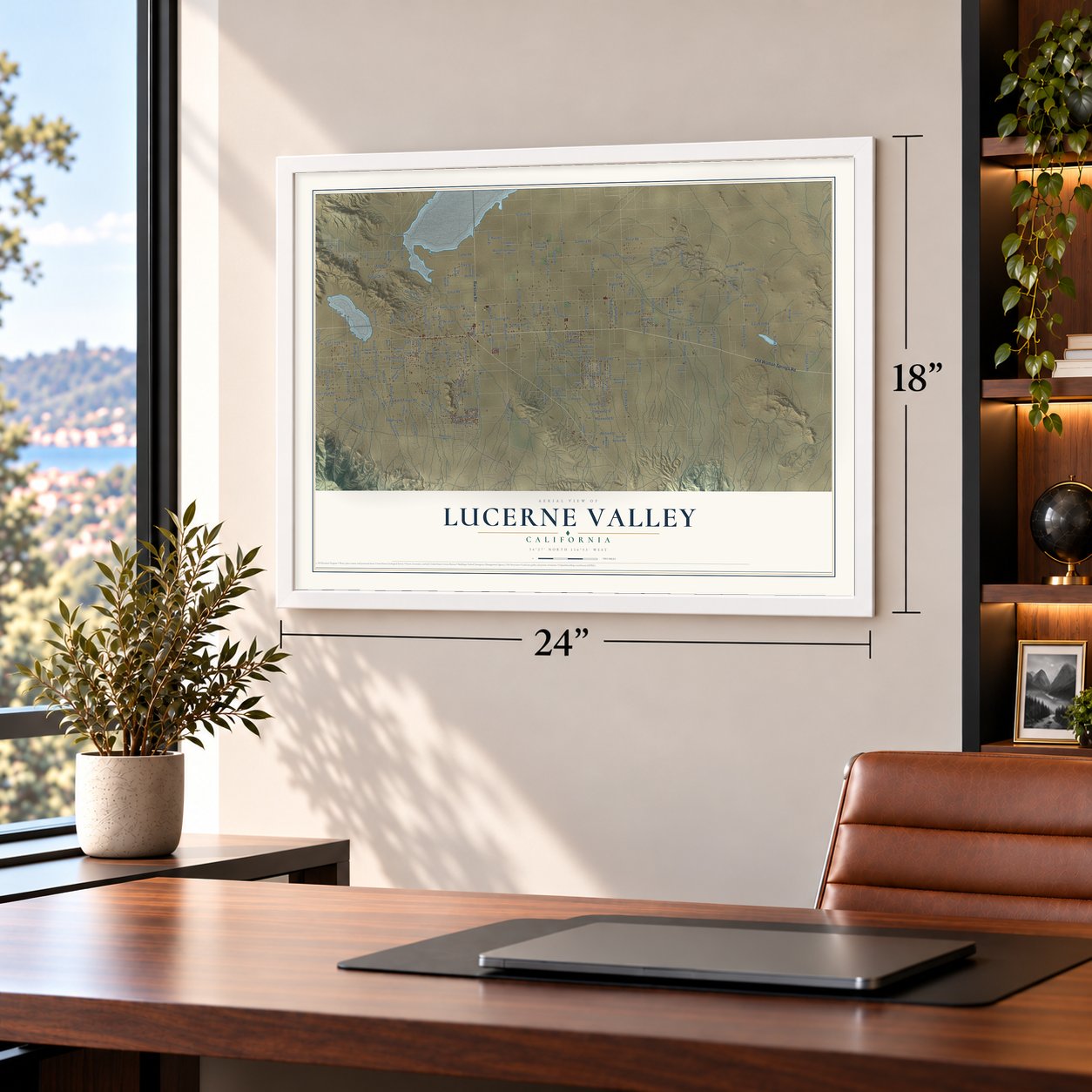
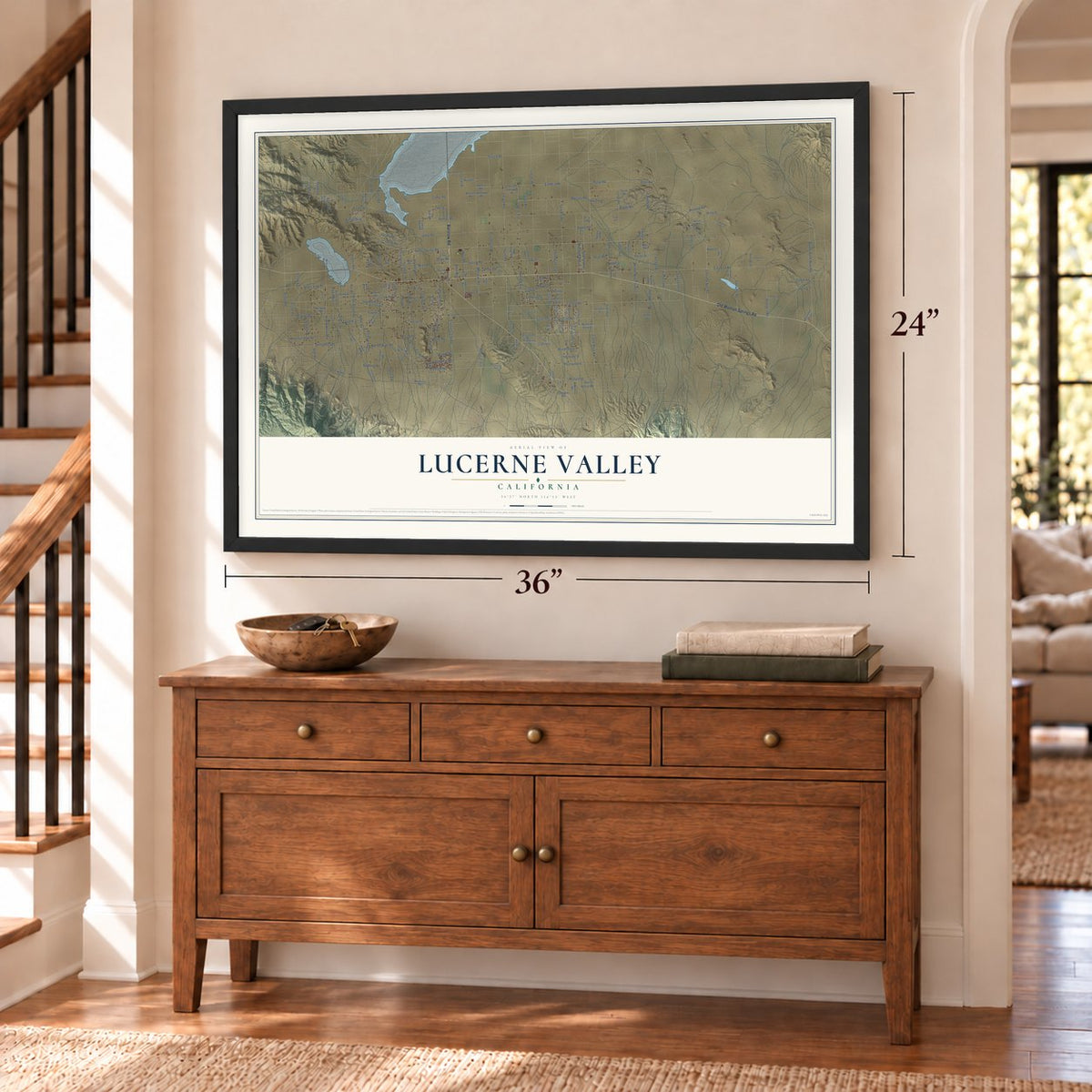
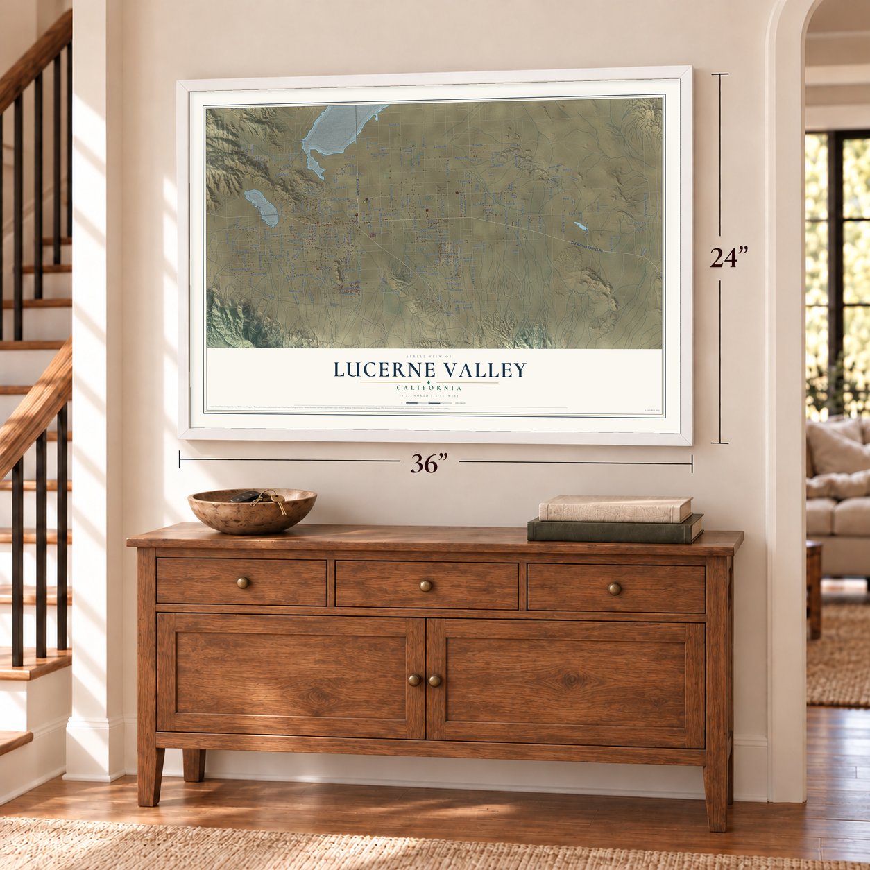
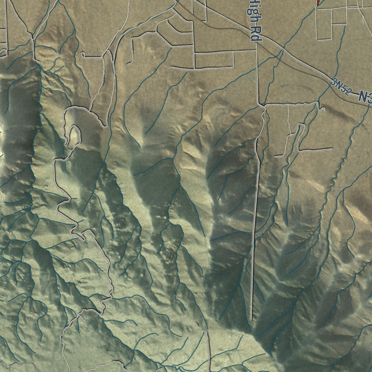
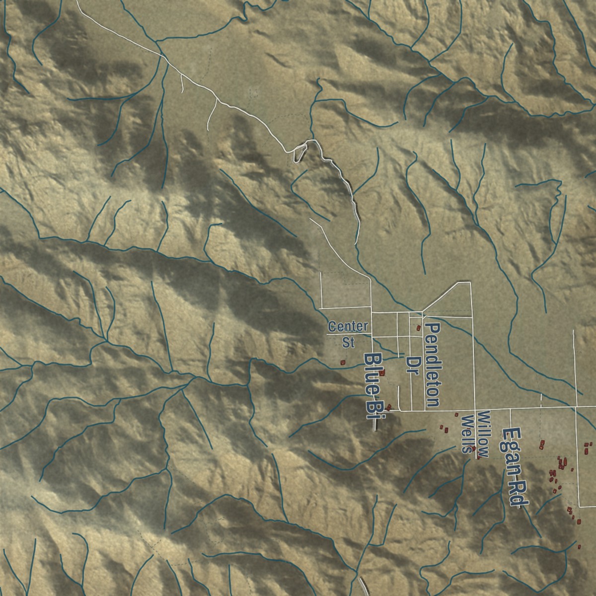
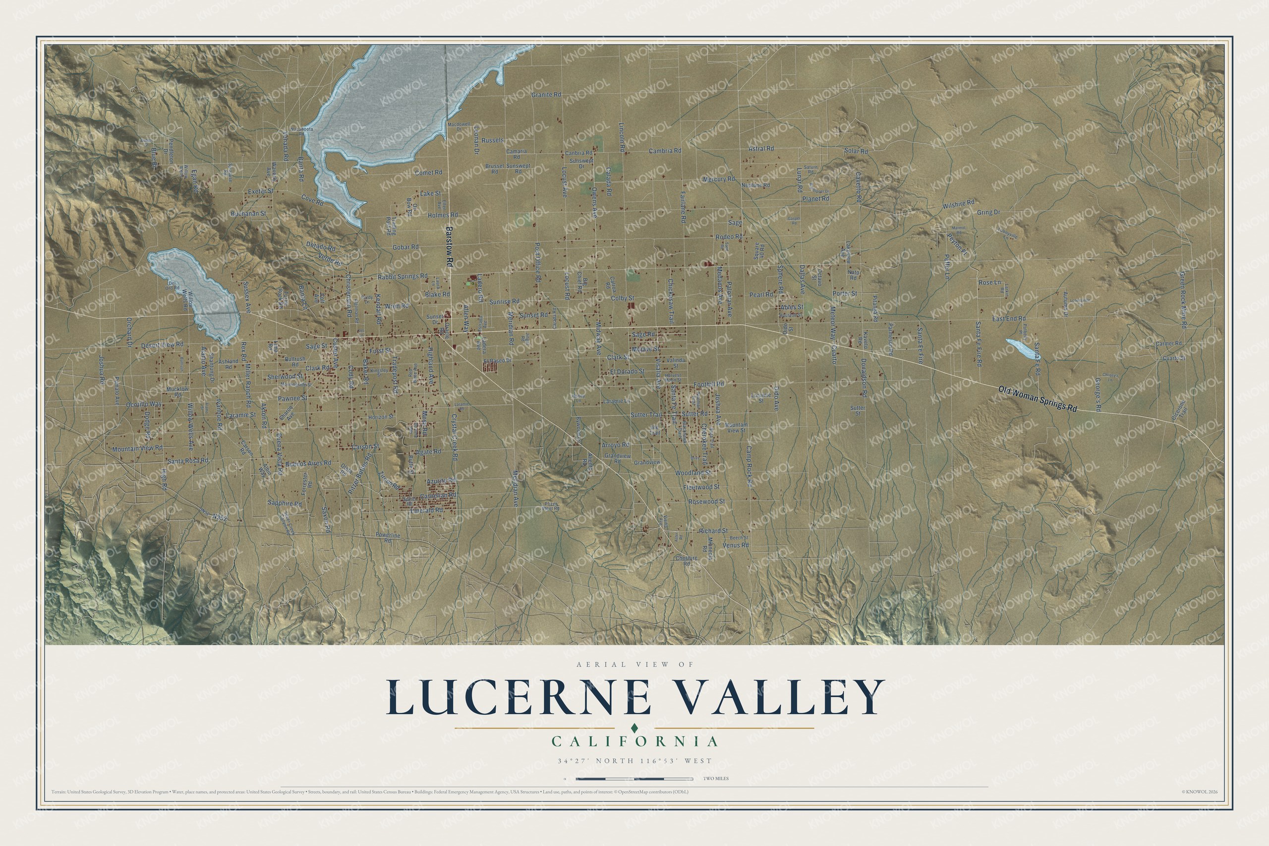
Explore Lucerne Valley, California from a whole new perspective. Created using aerial imagery and detailed geographic data, this map captures Lucerne Valley building by building, with labeled streets, familiar landmarks, and shaded topographical relief that highlights the natural contours of the landscape.
Combining modern data with the timeless character of a vintage atlas, this map is just as interesting up close as it is beautiful on the wall. Whether you grew up in Lucerne Valley, spent memorable years there, or call it home today, this unique map is a great way to celebrate a place that means something to you. Zoom in on the preview to look for your street, and then order a print to put your memories on the wall.
Three ways to hang it
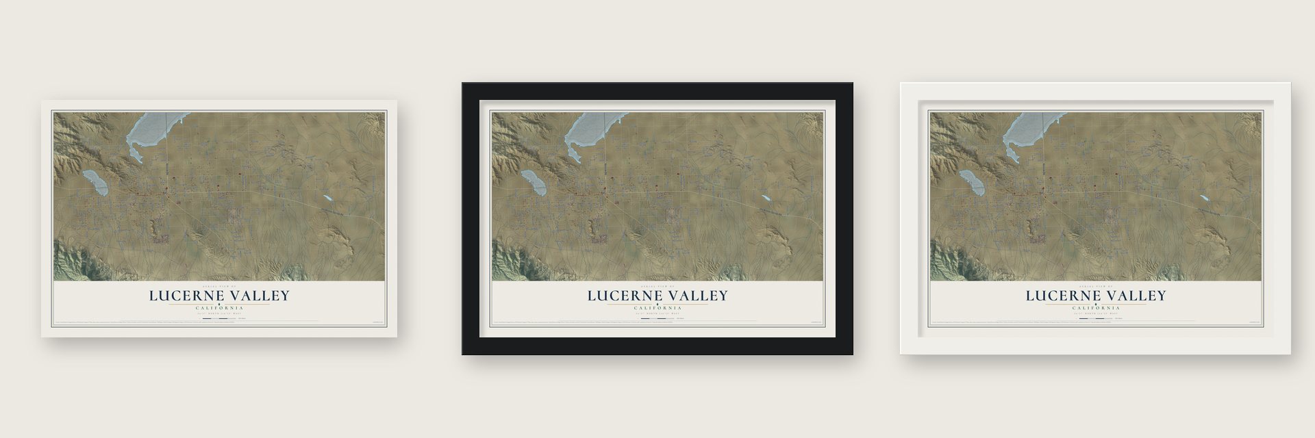
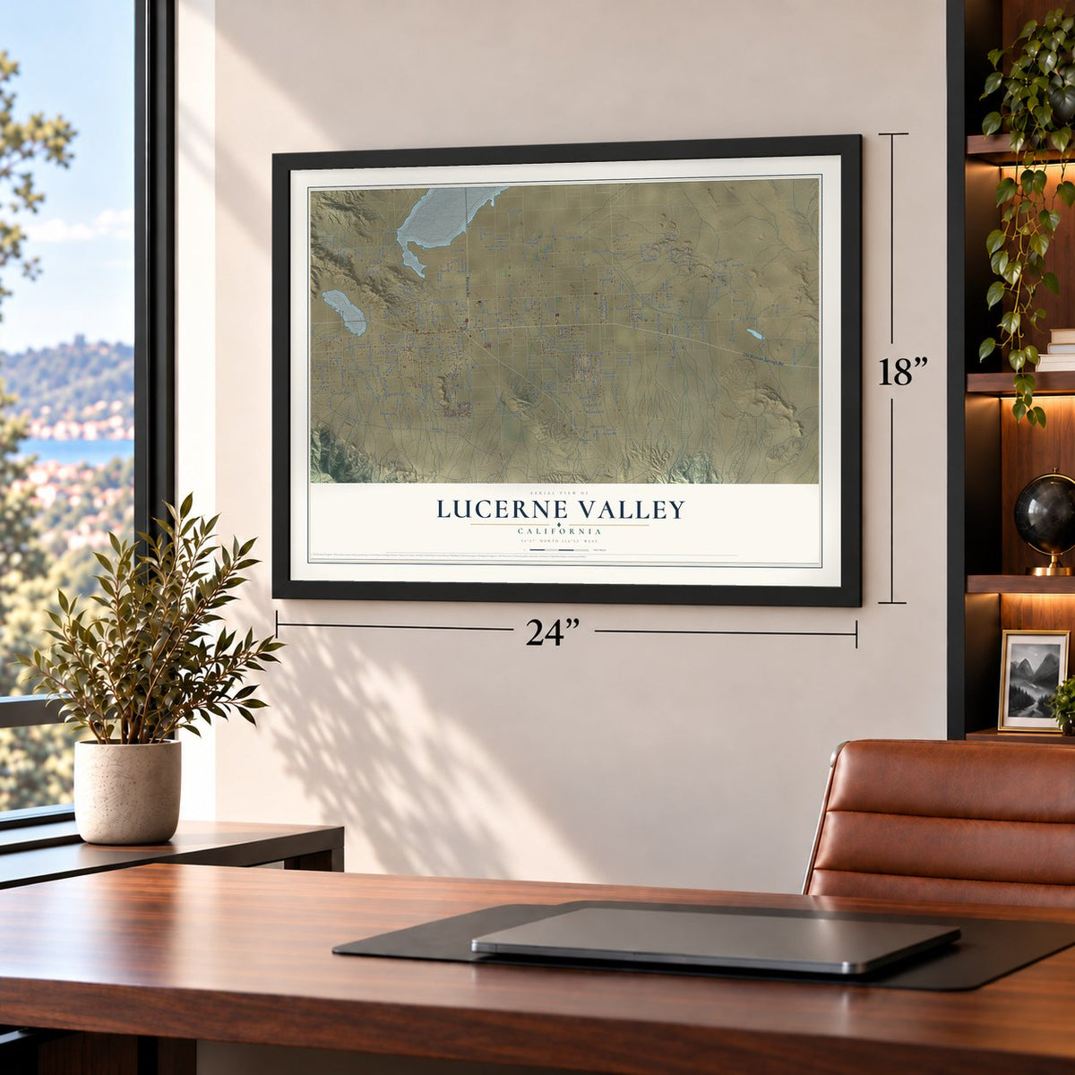
Unframed archival matte, a black wood frame or a white wood frame.
Up close
Geography Worth Displaying
This map was created using accurate cartographic data and authoritative geographic sources, including the U.S. Geological Survey and the Census Bureau. The map brings together terrain, waterways, roads, and building detail. The majority of the streets are labeled, houses are accurately depicted, and the topography is derived from government sources. Combining local data with carefully composed color and shading leads to this beautifully detailed Lucerne Valley artwork for your wall.
Rather than simply showing street outlines, we’ve included as many of the street names as we could reasonably fit on the map while keeping their names legible. Zoom in on the high resolution preview to see exactly what’s on the map. We truly set out to create a statement piece for anyone who loves Lucerne Valley. So whether it’s for you, or a gift for someone you love, we hope this map of Lucerne Valley brings back fond memories.
Read the story behind this map of Lucerne Valley, California from 2026.
Find your street
Names on the Lucerne Valley map
Every name below is printed on this map. Look for your street, your school, the park where you played, or the pond down the road.
Streets and roads229
- Old Woman Springs Road
- Barstow Road
- Santa Fe Fire Road
- Cody Road
- Rose Lane
- Meridian Road
- Meridian Avenue
- Rabbit Springs Road
- Clark Road
- Richard Street
- Joshua Road
- Porter Street
- Santa Fe Road
- Sunrise Road
- Cavetto Road
- Woodland Street
- Sutter Trail
- Foothill Road
- Sutter Road
- Camp Rock Road
- East End Road
- Wilshire Road
- Fairlane Road
- Lincoln Road
- Post Office Road
- Cove Road
- Visalia Avenue
- Midway Avenue
- Dallas Avenue
- Locust Avenue
Show all 229 streets
- Gobar Road
- Furst Street
- Custer Avenue
- Joshua Avenue
- Donaldson Road
- Laramie Street
- Baker Road
- Mountain View Road
- High Road
- Rodeo Road
- Desert View Road
- Santa Rosa Road
- Azurite Road
- Mercury Road
- Mesa Road
- Emerald Road
- Buena Vista Road
- Crystal Creek Road
- Miller Ranch Road
- Arroyo Road
- Banta Road
- Willow Wells Avenue
- Sunset Road
- Chickasaw Trail
- Carnelian Road
- Palomar Avenue
- Orchard Drive
- Cambria Road
- Comet Road
- Agate Road
- Verde Road
- Peffer Lane
- Colby Street
- Rosewood Street
- Carson Street
- Cherokee Trail
- Clark Street
- Sherwood Street
- Akron Road
- Sage Street
- Tradepost Road
- Holmes Road
- Owens Avenue
- Ivanhoe Road
- Green Rock Mine Road
- Planet Road
- Exeter Street
- Mojave Street
- Pitzer Buttes Road
- George's Road
- Sapphire Road
- Alamo Avenue
- Calada Road
- Sussex Avenue
- Saxon Road
- Meteor Way
- Kendall Road
- Gring Drive
- Zircon Road
- Lake Street
- Pawnee Street
- Sage Road
- Dido Avenue
- El Dorado Street
- Highland Avenue
- Dodge Road
- Buenos Aires Road
- Christenson Road
- Astral Road
- Fleetwood Street
- Rex Road
- Medanos Avenue
- Santa Fe Trail
- Ocotillo Way
- Lunar Road
- Pearl Road
- Ables Street
- Dorado Road
- Solar Road
- Locust Road
- Peyton Place
- Santa Fe Fire
- Allen Way
- Venus Road
- Sphere Road
- Buchanan Street
- Wren Road
- Venada Road
- Granite Road
- Ladero Road
- Leonan Drive
- Egan Road
- Sage
- Russels
- Blake Road
- Banta Lane
- Blue Bi
- Cuarto
- Forrester Road
- El Paseo Drive
- Powerline Road
- Pendleton Drive
- Mucklow Road
- Butte Street
- Bullrush Road
- Grandview Road
- Pumalo Avenue
- Sharon Avenue
- Cuarto Street
- Ladera Avenue
- Neptune Road
- Ox Bow Road
- Ashland Road
- Waverly Avenue
- Valinda Street
- Sutter Street
- Laramie Lane
- Parmeson Road
- Willow Wells Road
- Carmer Road
- Sunset Drive
- Horizon Street
- Shantung Drive
- Trading Post Road
- Carson Road
- Pitanga Road
- Minneola Road
- Aliento Road
- Big Chief Road
- Square 40 Road
- Calroa Road
- Cheshire Road
- Mountain View Street
- Canbria Road
- Autumn Drive
- Sunswept Drive
- Lakeview Avenue
- Grandview
- Loramie Street
- Sunswept Road
- Camaria Road
- Bywood Lane
- Brussel Road
- Cicerone Trail
- Albin Way
- Octavo Street
- Ute Trail
- Turtle Rock Road
- Kaveto Road
- Oracle Road
- Oleta Road
- Colt Avenue
- Lima Road
- Nato Road
- Dido Street
- Larkin Road
- Syracuse Road
- Visilia Avenue
- Palomar Trail
- Morningside Street
- Harvest Moon Street
- Spinel Road
- Anza Trail
- Blackhawk Trail
- Kingsley Street
- Silver Creek Canyon Road
- Carada Road
- Red Butte Avenue
- Del Oro Road
- Wacahoota Road
- Macdowell Drive
- Beech Street
- Estrada Avenue
- Loonyville Lane
- Houston Street
- Purdy Lane
- Algoman Road
- Potbelly Place
- Elfen Avenue
- Saturn Road
- Laura Lane
- Pfizer Plant Road
- Jingal Road
- Willow Wells
- Honey Lane
- Alamo Street
- Looneyville Lane
- Big Dipper Drive
- Laramie Road
- Gasper Road
- Center Street
- Chrissy's Lane
- Marmot Road
- Bullrush
- Red Butte Road
- Sand Road
- Olive
- Aster Road
- Jet Lane
Names are listed as they appear on the printed map. Zoom into the product photos to find them.
About Lucerne Valley, California
In 1897 James E. Goulding, known as Dad, named his 160-acre homestead ranch Lucerne, the European name for alfalfa, which grew well here. He brought in the valley’s first artesian well and started its first school in 1901. The Lucerne Valley post office opened on September 9, 1912. Before that, mail came by stage to the Koehly home three times a week.
Keep exploring California
Lucerne Valley is one of 1,990 California towns we've mapped. Every dot on the map is a print of its own.
The search covers every state, California first.
Near Lucerne Valley
Order 2 or more town maps and save 10%. Shown in the size and finish you picked above, so they hang as a set.
- Big Bear Lake 12" x 18" / Archival Matte Print $39.99
- Big Bear City 12" x 18" / Archival Matte Print $39.99
- Apple Valley 12" x 18" / Archival Matte Print $39.99

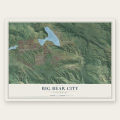
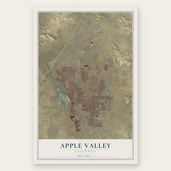
More maps nearby: Running Springs, Lake Arrowhead, Spring Valley Lake, Hesperia and Crestline.
The art of mapping a place
How This Map Was Made
Real places. Remarkable detail. Discover the layers that turn geographic data into a map of home.

The view from above
Aerial imagery reveals the character of the land: woodland, open fields, and the patterns of a place.

The shape of the land
Elevation data brings hills, valleys, and subtle changes in the landscape into view.

The details of home
Roads, waterways, and building footprints come together to make the map feel unmistakably local.

Geography becomes art
Considered color, shading, and typography bring the layers together in a map made for your wall.


Process illustrated with Mendon, Massachusetts. Aerial imagery: USDA NAIP. Terrain: USGS 3D Elevation Program. Map details and finished artwork: KNOWOL.
The Details
About This Print
Choose an archival matte print, or a black or white Ayous wood frame. The archival matte print is unframed.
Select your size and finish above to see the matching product image and price.
Materials & Craftsmanship
A contemporary map with the character of a classic atlas, printed on archival matte paper. Optional frames are made from Ayous wood.
Your printed map does not include the watermark shown in the full-map preview.
Shipping & Delivery
Free shipping within the United States. Every print is made to order in the USA.
Buying a gift? Add a note in your cart and we'll include it. We never put prices in the package.
Prints ship within 2 to 3 business days. Allow 7 to 10 days total from ordering for delivery. Timing may vary during holidays or periods of high order volume.
Read our shipping policy.
Returns and damaged prints
Each print is made to order. Change-of-mind refunds are not available after production.
If your print arrives damaged, misprinted or incorrect, contact support@knowol.com within 30 days of receiving it. Include your order number, photos and a description of the issue.
Read our full refund and replacement policy. For questions about your order, email support@knowol.com.