
Search for another town


Free U.S. delivery 7 to 10 days after you order
Lynchburg, Virginia Map Art
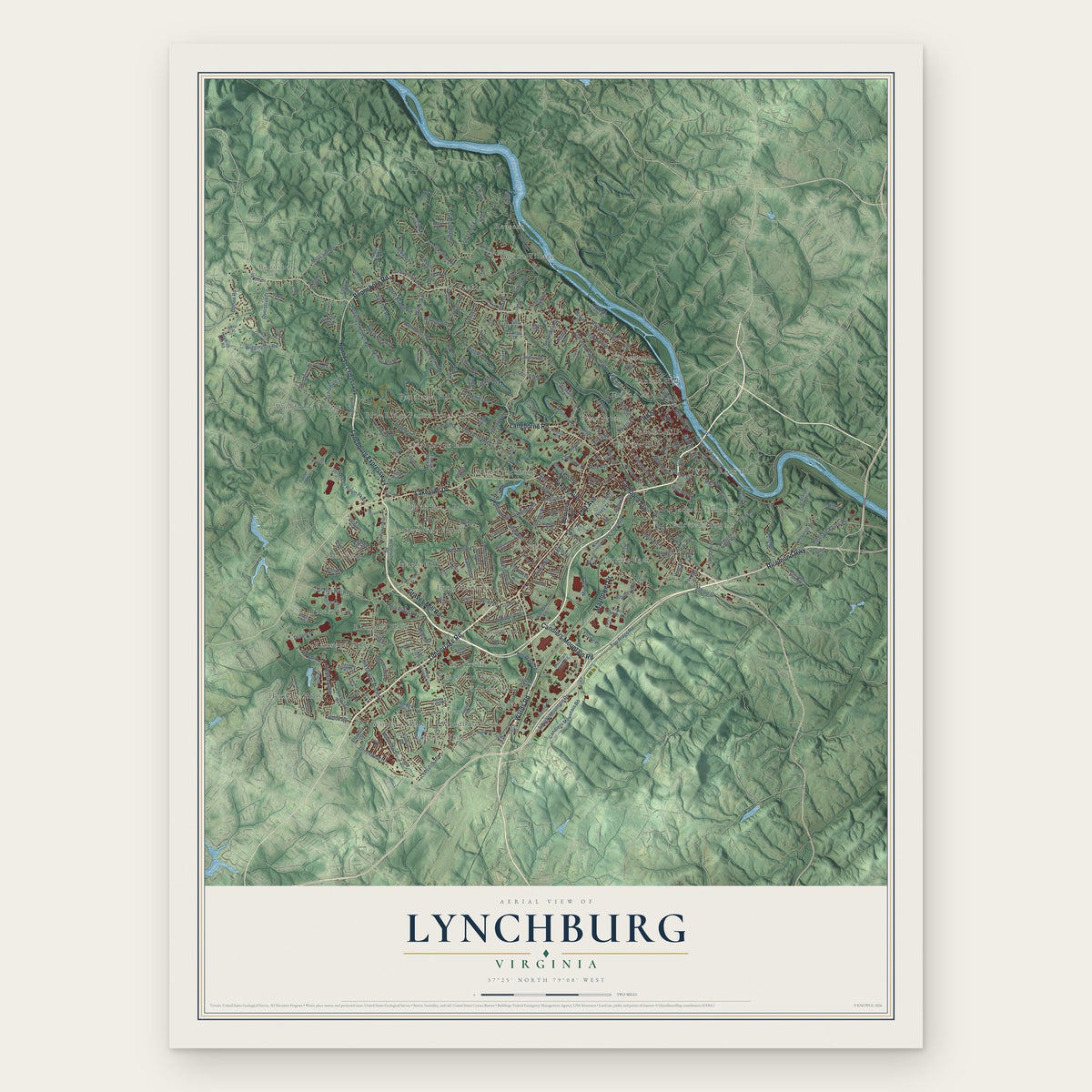
A new map of Lynchburg, Virginia, made in 2026 and printed to order on thick archival matte paper.
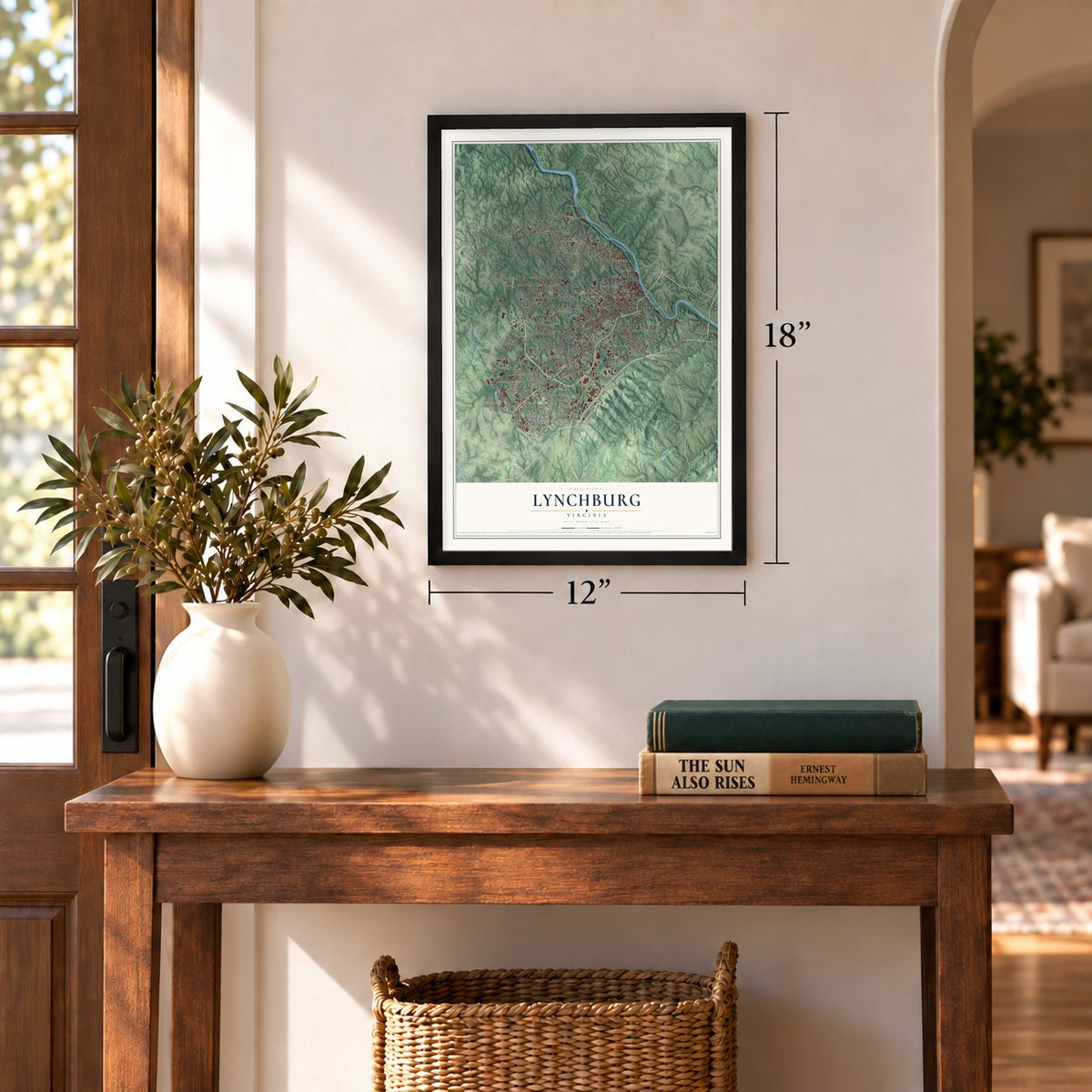
12" x 18" Archival Matte Print
A Map of Home. A Work of Art.
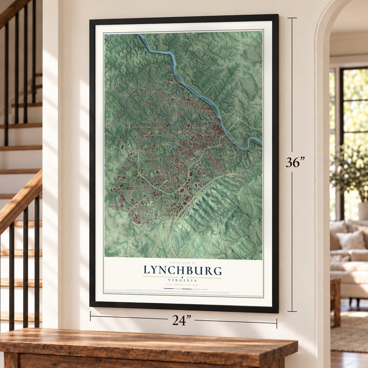
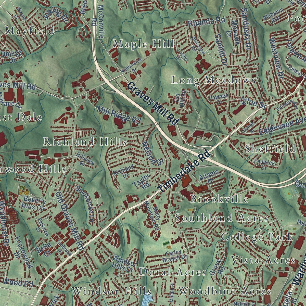
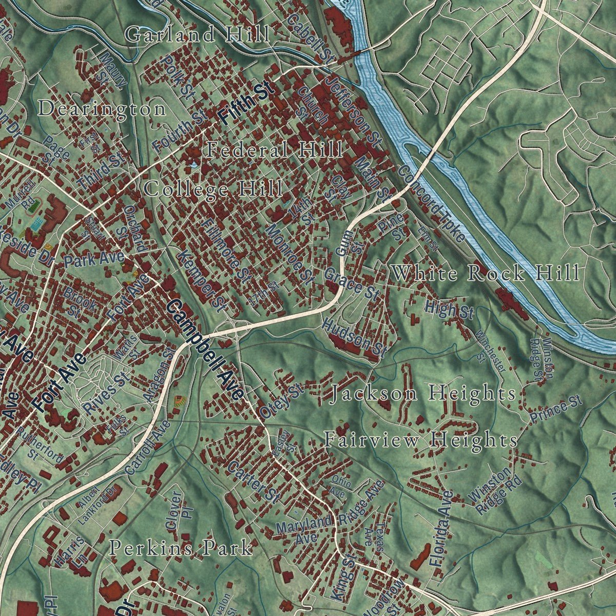
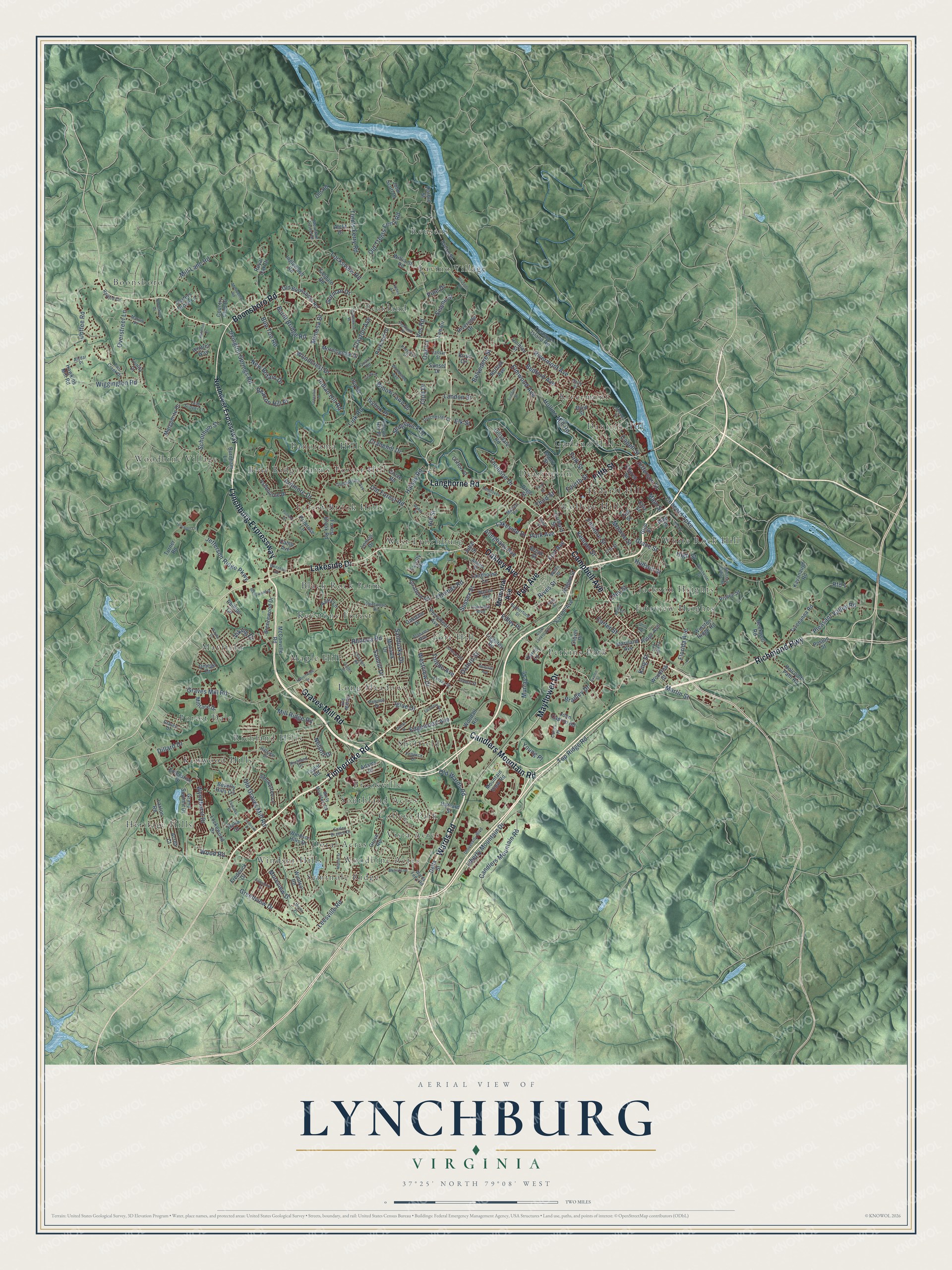
Explore Lynchburg, Virginia from a whole new perspective. Created using aerial imagery and detailed geographic data, this map captures Lynchburg building by building, with labeled streets, familiar landmarks, and shaded topographical relief that highlights the natural contours of the landscape.
Combining modern data with the timeless character of a vintage atlas, this map is just as interesting up close as it is beautiful on the wall. Whether you grew up in Lynchburg, spent memorable years there, or call it home today, this unique map is a great way to celebrate a place that means something to you. Zoom in on the preview to look for your street, and then order a print to put your memories on the wall.
Three ways to hang it
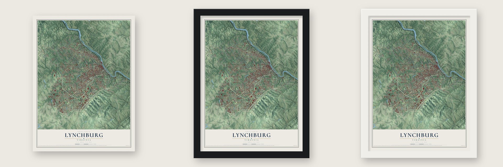
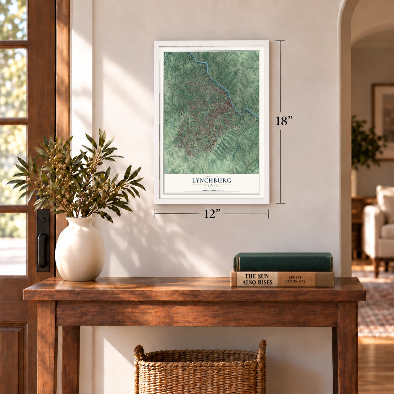
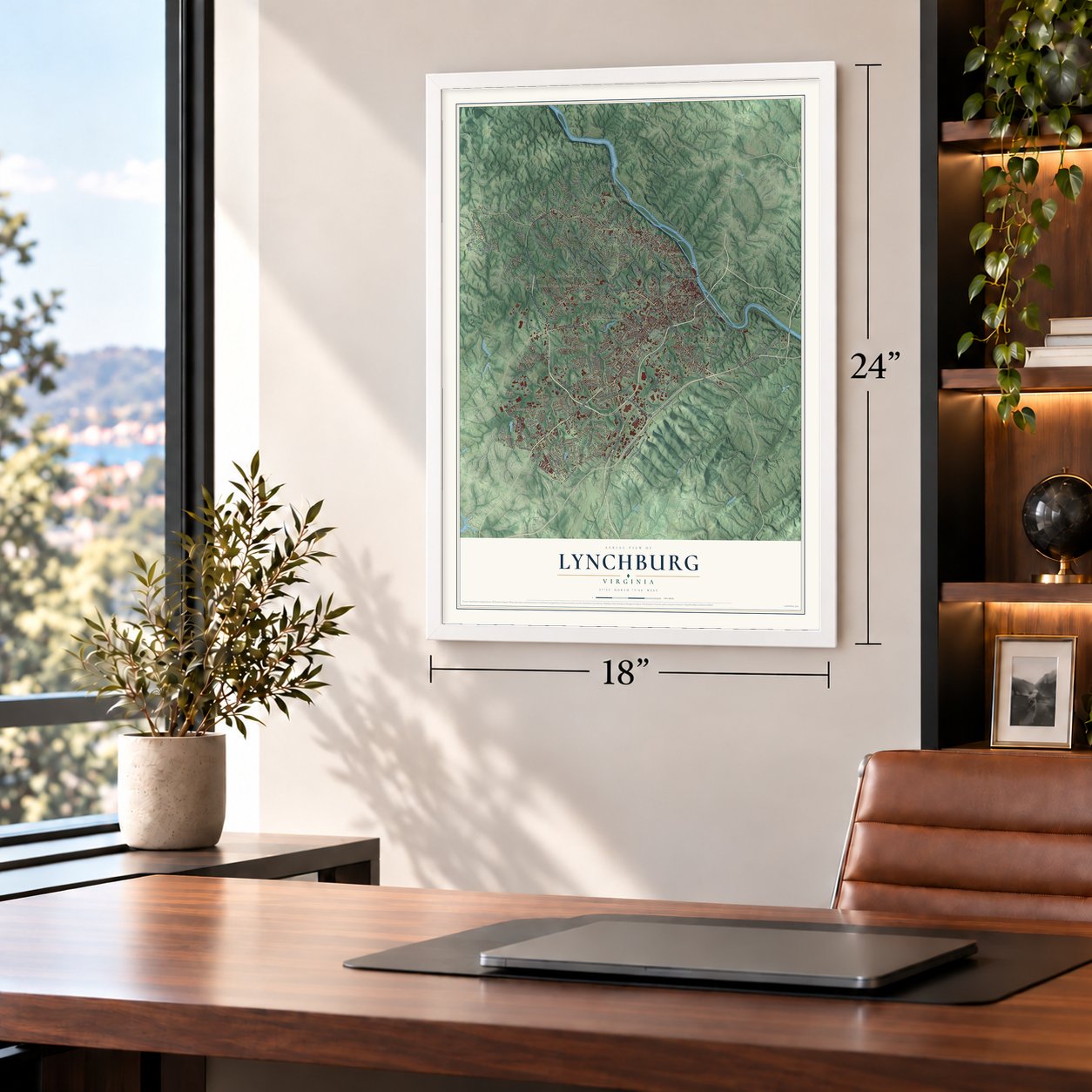
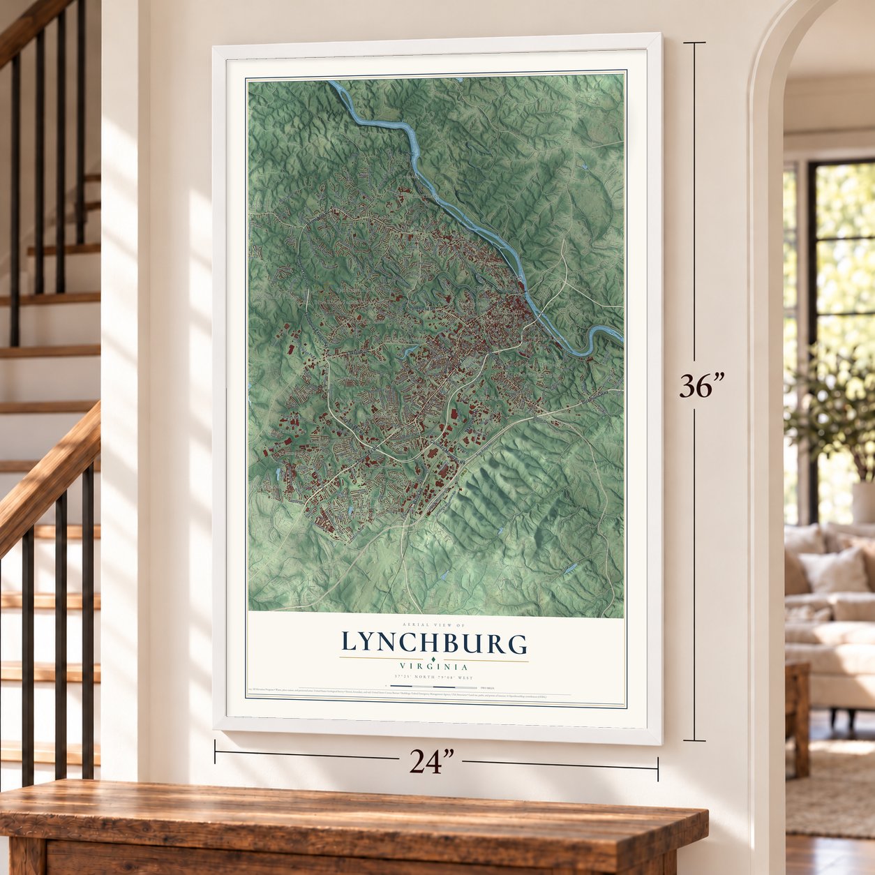
Unframed archival matte, a black wood frame or a white wood frame.
Up close
Geography Worth Displaying
This map was created using accurate cartographic data and authoritative geographic sources, including the U.S. Geological Survey and the Census Bureau. The map brings together terrain, waterways, roads, and building detail. The majority of the streets are labeled, houses are accurately depicted, and the topography is derived from government sources. Combining local data with carefully composed color and shading leads to this beautifully detailed Lynchburg artwork for your wall.
Rather than simply showing street outlines, we’ve included as many of the street names as we could reasonably fit on the map while keeping their names legible. Zoom in on the high resolution preview to see exactly what’s on the map. We truly set out to create a statement piece for anyone who loves Lynchburg. So whether it’s for you, or a gift for someone you love, we hope this map of Lynchburg brings back fond memories.
Read the story behind this map of Lynchburg, Virginia from 2026.
About Lynchburg, Virginia
Lynchburg is a city of 79,009 people on the James River, in the foothills of the Blue Ridge Mountains. When John Lynch, a Quaker, was about 17, he began running a ferry at a ford on the James for travelers going to New London, where his family lived. Settlers built along the hills around Lynch's Ferry from 1757, and the General Assembly recognized the town in October 1786. It became an incorporated town on January 10, 1805, and a city in 1852.
Lynch replaced his ferry with a toll bridge in 1812, the first bridge across the James at Lynchburg. Tobacco built the town's trade, and the canal from Richmond, the James River and Kanawha, finally arrived here on December 3, 1840. By then more than 6,000 people lived here, and by the 1850s Lynchburg was among the richest towns per person in the country. Floods in 1870 and 1877 wrecked the canal for good, so railroad builders laid their tracks on its old towpath.
“Nothing would give me greater pleasure than to be useful to the town of Lynchburg. I consider it as the most interesting spot in the state.”
- The Battle of LynchburgIn June 1864 Union General David Hunter marched south from the Shenandoah Valley and came within a mile of the city. Jubal Early's troops arrived on June 16, and on June 18 his outnumbered force drove Hunter back. To look stronger, the defenders ran one train back and forth on the tracks while drummers played and townspeople cheered, as if fresh troops were stepping off. The Fort Early and Jubal Early Monument is on the National Register.
- Virginia's capital in 1865Richmond surrendered on April 3, 1865, and Governor William Smith fled with the state's executive and legislative branches to Lynchburg, which served as Virginia's capital from April 6 to 10. Robert E. Lee then surrendered to Ulysses S. Grant at Appomattox, about 20 miles east, and Lynchburg itself surrendered to Union General Ranald S. Mackenzie on April 12.
- Jefferson's Poplar ForestThomas Jefferson built a plantation house called Poplar Forest near Lynchburg in 1806, to get away from the crowds of visitors at Monticello. He came into town often, and in 1810 he wrote that Lynchburg ranked next to Richmond in importance.
- The first church in 1805When the preacher Lorenzo Dow spoke outdoors here in 1804, he called the town the seat of Satan's Kingdom because it had no churches. The Methodists built Lynchburg's first church the next year, after visits from Francis Asbury. Asbury's last Virginia Methodist Conference met in Lynchburg on February 20, 1815.
- John Lynch's resting placeJohn Lynch died in 1820 and was buried at the South River Friends Meetinghouse. By then many Quakers were leaving Lynchburg, because they objected to the slavery the town's economy had come to depend on; Lynch had freed all of the people he enslaved. Presbyterians took over the meetinghouse in 1899 and used it as a church, then restored it to its old look, and the site is now preserved.
Find your street
Names on the Lynchburg map
Every name below is printed on this map. Look for your street, your school, the park where you played, or the pond down the road.
Places and landmarks39
- Black Rock Farm
- Blue Ridge Farms
- Boonsboro
- Brookville
- College Hill
- College Park
- Daniels Hill
- Dearington
- Doral Acres
- Fairview Heights
- Federal Hill
- Forest Brook Hills
Show all 39 places
- Forest Dale
- Forest Hill
- Fort Hill
- Garland Hill
- Heritage Hills
- Jackson Heights
- Kenwood Hills
- Keystone Forest
- Lavino Village
- Long Meadows
- Maple Hill
- Mayfield
- Panorama Hills
- Peakland
- Perkins Park
- Reusens
- Richland Hills
- Rivermont
- Seminole Ridge
- Sheffield
- Southland Acres
- Vista Acres
- West Lynchburg
- White Rock Hill
- Windsor Hills
- Woodbine Acres
- Woodbine Village
Streets and roads278
- Lynchburg Expressway
- Campbell Avenue
- Timberlake Road
- Boonsboro Road
- Fort Avenue
- Wards Road
- Langhorne Road
- Candlers Mountain Road
- Oakley Avenue
- Lakeside Drive
- Richmond Highway
- Fifth Street
- Mayflower Drive
- Graves Mill Road
- Old Forest Road
- Park Avenue
- Rivermont Avenue
- Kemper Street
- Greenview Drive
- Cabell Street
- Rives Street
- Wiggington Road
- Concord Turnpike
- Top Ridge Road
- Leesville Road
- Florida Avenue
- Link Road
- Trents Ferry Road
- Pleasant Valley Road
- Old Graves Mill Road
Show all 278 streets
- Ves Road
- Rfd 1
- Irvington Springs Road
- Old Trents Ferry Road
- Monroe Street
- Main Street
- Coffee Road
- Murray Place
- Mill Lane Road
- Sandusky Drive
- Hollins Mill Road
- Indian Hill Road
- Bedford Avenue
- Locksview Road
- Jefferson Ridge Parkway
- Polk Street
- Fillmore Street
- Cranehill Drive
- Liberty Mountain Drive
- Wyndhurst Drive
- Woodcrest Drive
- Mimosa Drive
- Ardmore Drive
- Moreview Drive
- Landon Street
- Burnt Bridge Road
- Rhonda Road
- Sedgewick Drive
- Grace Street
- Elmwood Avenue
- Sussex Street
- Third Street
- Otey Street
- Edgewood Avenue
- Overstreet Lane
- Bon Ton Road
- Thomson Drive
- Thomas Road
- Westview Drive
- New Britain Drive
- Mill Ridge Road
- Bradley Drive
- Jefferson Street
- Halsey Road
- Hill Street
- Willow Lawn Drive
- Fourth Street
- Carter Street
- Martin Street
- Alleghany Avenue
- Schothum Street
- Nelson Drive
- Beacon Hill Place
- Oxford Street
- Old Wards Road
- Selene Street
- Clayton Avenue
- Sanhill Drive
- Belvedere Street
- Gorman Drive
- Club Drive
- Toledo Avenue
- Dillard Drive
- Hudson Street
- Wood Road
- Igloe Drive
- Ivylink Place
- Pine Drive
- Young Place
- Ivy Drive
- Viking Drive
- High Street
- Edley Place
- Oak Lane
- King Street
- Elk Street
- Northwest Expressway
- Memorial Avenue
- Holcomb Path Road
- Tyreeanna Road
- Enterprise Drive
- McConville Road
- Carroll Avenue
- Rockwell Road
- Riverside Drive
- Forest Brook Road
- 14th Street
- Winston Ridge Road
- Old Boonsboro Road
- Inglewood Road
- Perrymont Avenue
- Royal Oak Drive
- Kavanaugh Road
- Church Street
- Grove Road
- Hydro Street
- Breezewood Drive
- Treasure Island Road
- Clay Street
- Williams Road
- Norfolk Avenue
- Ashbourne Drive
- Beverly Hills Circle
- John Scott Drive
- Laxton Road
- Lockewood Drive
- Parkland Drive
- Mountain View Road
- Millrace Drive
- Page Street
- Old Road
- Grand Summit Drive
- Krise Circle
- Morningside Drive
- Harvard Street
- Alclif Drive
- Maryland Avenue
- John Capron Road
- Acres Court
- Marguerite Drive
- Burnham Lane
- Smoketree Lane
- Oakdale Drive
- Langhorne Lane
- Poston Street
- Hawkins Mill Road
- Faculty Drive
- Stratford Road
- Kerry Lane
- Liggates Road
- Clifton Street
- Mohawk Drive
- Hillsdale Road
- Clover Place
- Circle Road
- Lemon Drive
- Country Club Drive
- Fieldale Road
- Woodrow Street
- Windsor Road
- Woodall Road
- Ridge Avenue
- Frederick Drive
- Carters Grove Lane
- Orchard Street
- Windsor Hills Drive
- Taylor Road
- Aragon Street
- Primrose Lane
- Phillips Circle
- Adams Drive
- Omega Drive
- Prince Street
- Quinlan Street
- Lee Circle
- Whitley Way
- Delta Street
- Maury Street
- Sunset Drive
- Brook Street
- Camp Avenue
- Harris Lane
- Turner Road
- Harbor Street
- Gum Street
- Falcon Hill Place
- Jubal Street
- Trinity Court
- Pine Street
- Bella Court
- Byrd Street
- Wards Ferry Road
- Fleetwood Drive
- Early Street
- Two Creek Drive
- Pawnee Drive
- Richland Drive
- University Boulevard
- Confederate Avenue
- Fenwick Drive
- Linsay Street
- Oakridge Boulevard
- Warren Avenue
- 17th Street
- Rutherford Street
- Old Mill Road
- Alabama Avenue
- Farley Branch Drive
- Mountain Laurel Drive
- Lady Slipper Lane
- Dorchester Court
- Cohen Place
- Winston Ridge Street
- Misty Mountain Road
- Gates Street
- Alydar Place
- Woodside Avenue
- Texas Avenue
- Quarry Road
- Preserve Drive
- Raiford Circle
- Marvin Place
- Vassar Street
- Murrell Road
- Landover Place
- Graves Drive
- Hillview Drive
- Amelia Street
- Watts Street
- Peakland Place
- Reusens Road
- Linden Avenue
- Capstone Drive
- Winchester Street
- Melinda Drive
- Middle Street
- Waterton Drive
- Elm Street
- Parkview Drive
- First Street
- Edinboro Avenue
- Wayne Drive
- Chikasaw Road
- Spottswood Place
- Custer Drive
- Albert Lankford Drive
- Boonsboro Drive
- Breezwood Drive
- Radcliff Avenue
- Easley Street
- Greenhill Lane
- Johnson Road
- Meriwether Road
- Surrey Place
- Lynchpin Lane
- Johnson Street
- Timbrook Place
- Nationwide Drive
- Whitehall Road
- Stuart Street
- Sumpter Street
- Morey Place
- Ohio Avenue
- Dublin Street
- Maher Street
- Avalon Street
- Putnam Street
- Fulks Street
Names are listed as they appear on the printed map. Zoom into the product photos to find them.
The art of mapping a place
How This Map Was Made
Real places. Remarkable detail. Discover the layers that turn geographic data into a map of home.

The view from above
Aerial imagery reveals the character of the land: woodland, open fields, and the patterns of a place.

The shape of the land
Elevation data brings hills, valleys, and subtle changes in the landscape into view.

The details of home
Roads, waterways, and building footprints come together to make the map feel unmistakably local.

Geography becomes art
Considered color, shading, and typography bring the layers together in a map made for your wall.


Process illustrated with Mendon, Massachusetts. Aerial imagery: USDA NAIP. Terrain: USGS 3D Elevation Program. Map details and finished artwork: KNOWOL.
The Details
About This Print
Choose an archival matte print, or a black or white Ayous wood frame. The archival matte print is unframed.
Select your size and finish above to see the matching product image and price.
Materials & Craftsmanship
A contemporary map with the character of a classic atlas, printed on archival matte paper. Optional frames are made from Ayous wood.
Your printed map does not include the watermark shown in the full-map preview.
Shipping & Delivery
Free shipping within the United States. Every print is made to order in the USA.
Buying a gift? Add a note in your cart and we'll include it. We never put prices in the package.
Prints ship within 2 to 3 business days. Allow 7 to 10 days total from ordering for delivery. Timing may vary during holidays or periods of high order volume.
Read our shipping policy.
Returns and damaged prints
Each print is made to order. Change-of-mind refunds are not available after production.
If your print arrives damaged, misprinted or incorrect, contact support@knowol.com within 30 days of receiving it. Include your order number, photos and a description of the issue.
Read our full refund and replacement policy. For questions about your order, email support@knowol.com.
Find your town
Looking for another city?
Find a map of home in our Virginia collection, or any town in the country.
Nearby
Maps of towns near Lynchburg
Know someone from one of these towns? Their map makes a great gift.
 Forest
, Virginia
From $39.99See the map
 Madison Heights
, Virginia
From $39.99See the map
 Timberlake
, Virginia
From $39.99See the map
More maps nearby: Rustburg, Concord, Big Island, Amherst and Bedford.