
Search for another town

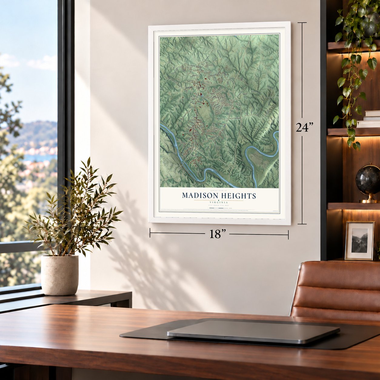

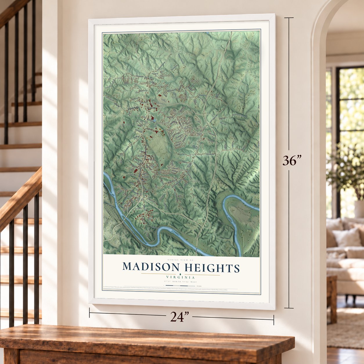

Free U.S. delivery 7 to 10 days after you order
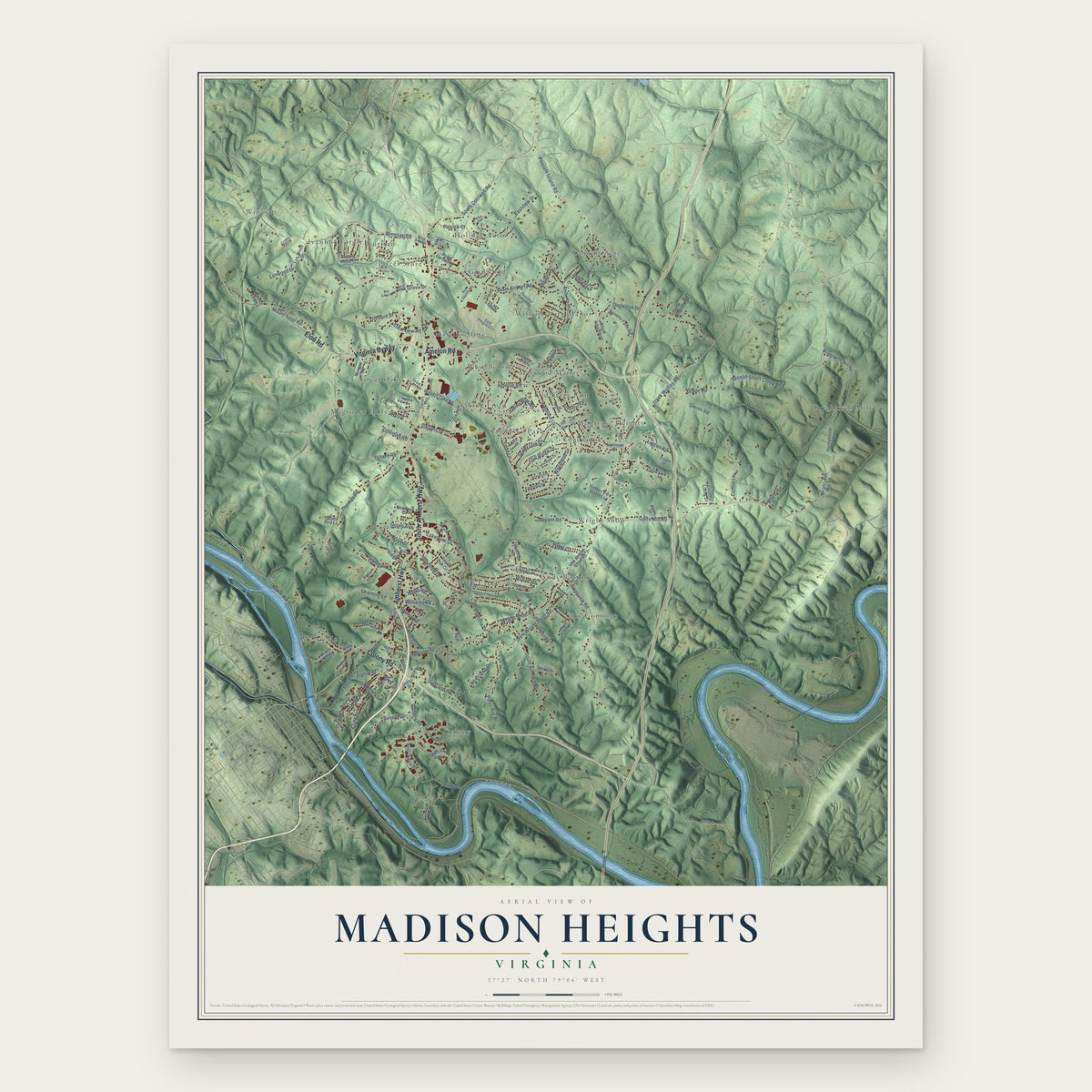
Madison Heights, Virginia Map Art
A new map of Madison Heights, Virginia, made in 2026 and printed to order on thick archival matte paper.
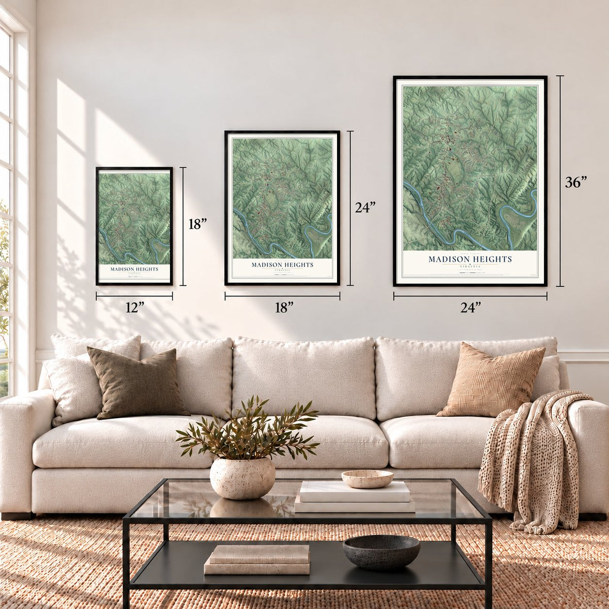
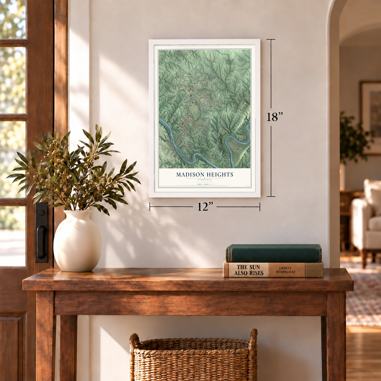
12" x 18" Archival Matte Print
A Map of Home. A Work of Art.
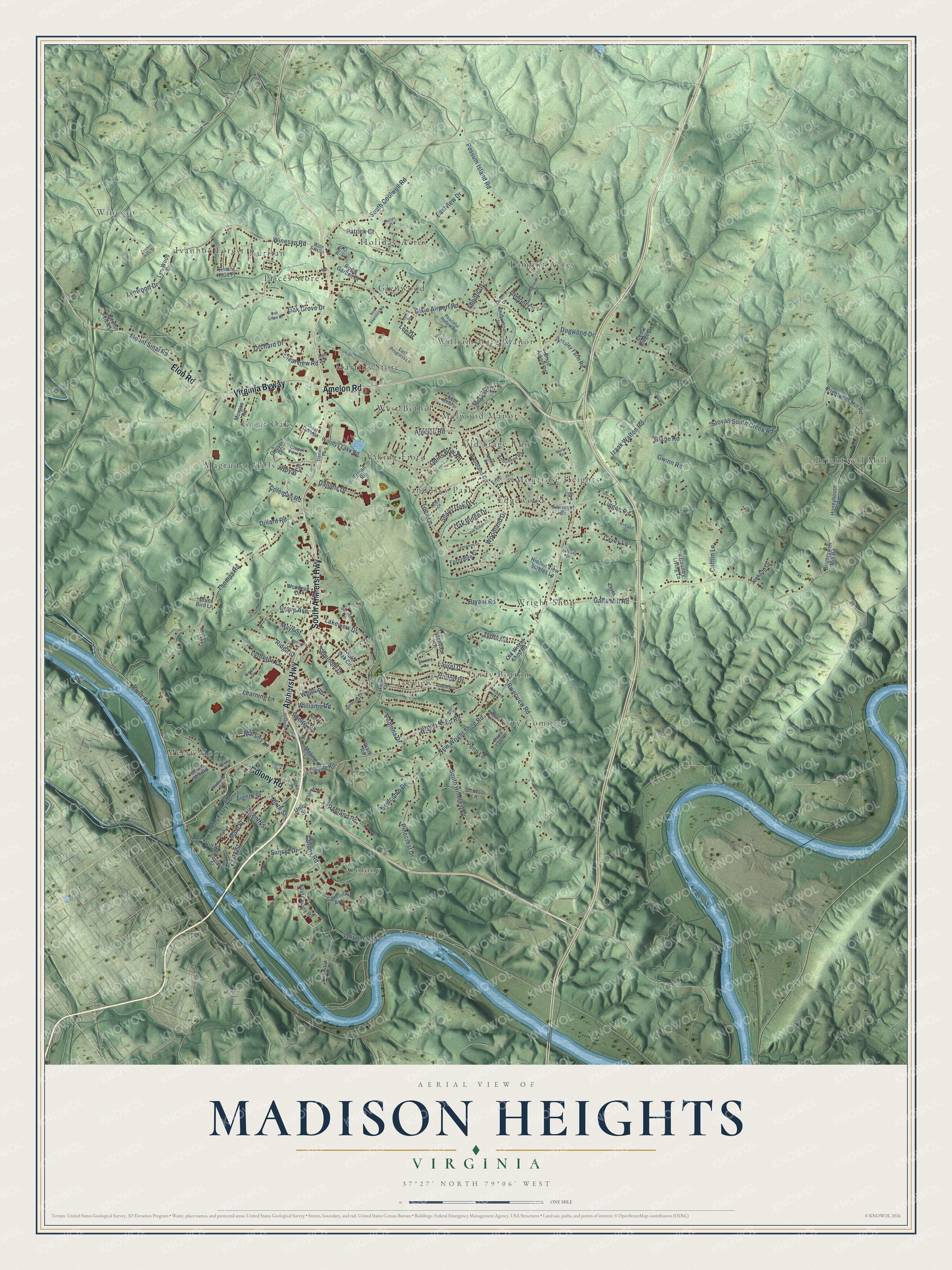
Explore Madison Heights, Virginia from a whole new perspective. Created using aerial imagery and detailed geographic data, this map captures Madison Heights building by building, with labeled streets, familiar landmarks, and shaded topographical relief that highlights the natural contours of the landscape.
Combining modern data with the timeless character of a vintage atlas, this map is just as interesting up close as it is beautiful on the wall. Whether you grew up in Madison Heights, spent memorable years there, or call it home today, this unique map is a great way to celebrate a place that means something to you. Zoom in on the preview to look for your street, and then order a print to put your memories on the wall.
Three ways to hang it
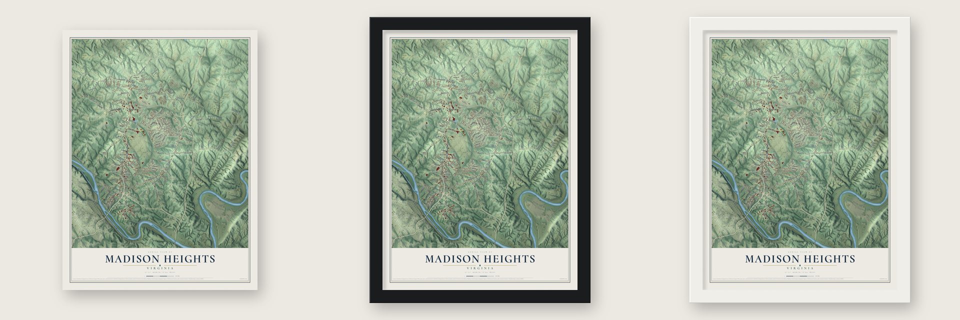
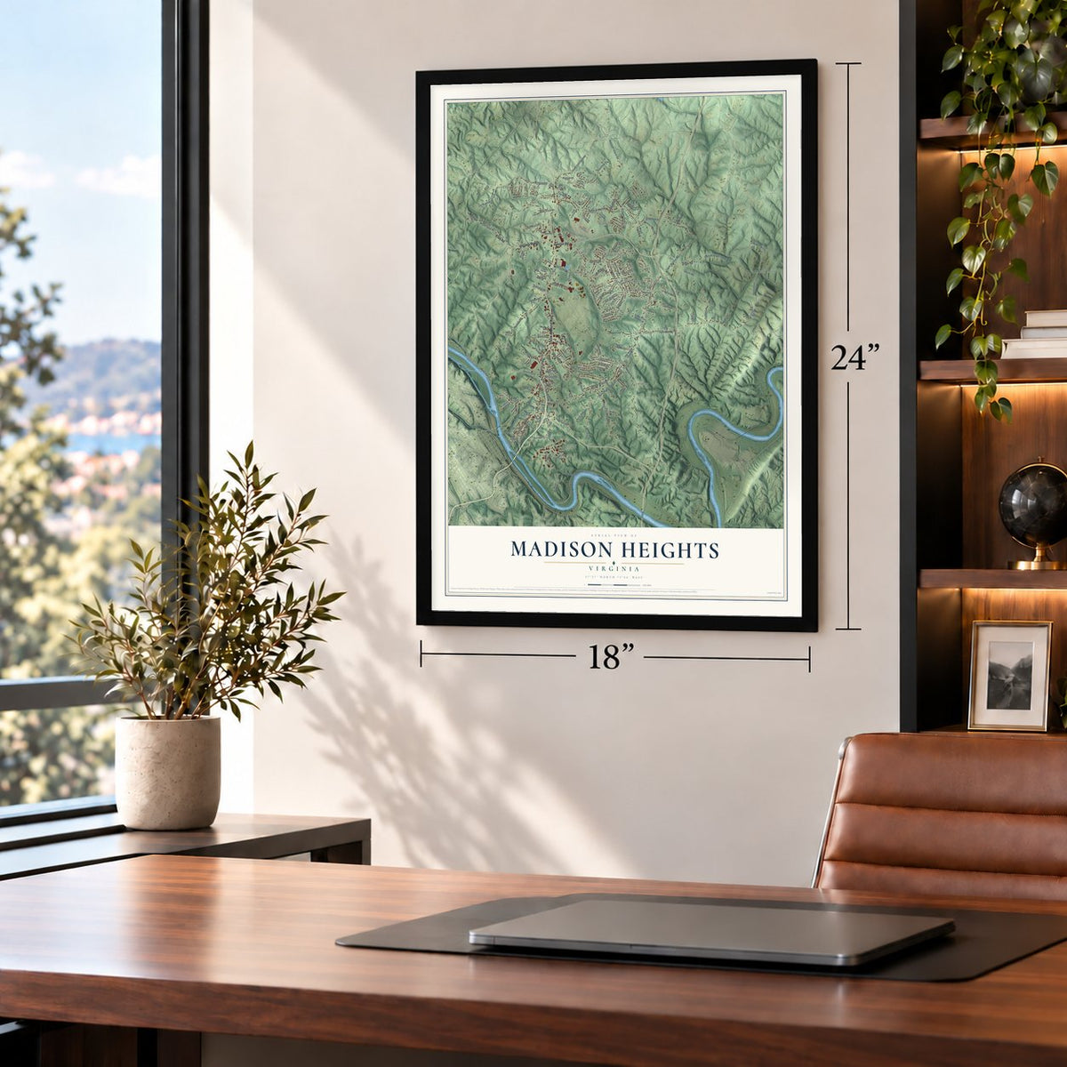
Unframed archival matte, a black wood frame or a white wood frame.
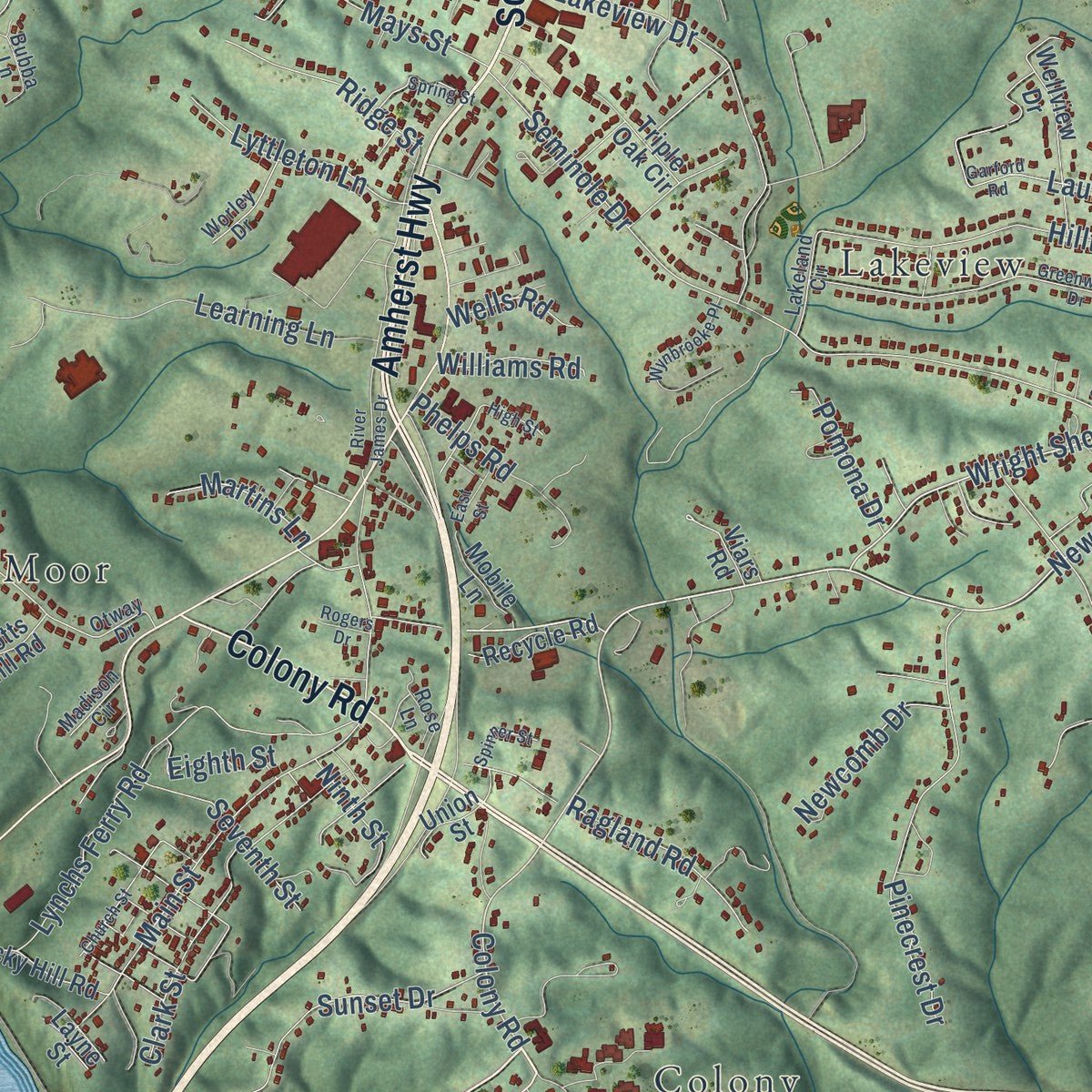
Up close
Geography Worth Displaying
This map was created using accurate cartographic data and authoritative geographic sources, including the U.S. Geological Survey and the Census Bureau. The map brings together terrain, waterways, roads, and building detail. The majority of the streets are labeled, houses are accurately depicted, and the topography is derived from government sources. Combining local data with carefully composed color and shading leads to this beautifully detailed Madison Heights artwork for your wall.
Rather than simply showing street outlines, we’ve included as many of the street names as we could reasonably fit on the map while keeping their names legible. Zoom in on the high resolution preview to see exactly what’s on the map. We truly set out to create a statement piece for anyone who loves Madison Heights. So whether it’s for you, or a gift for someone you love, we hope this map of Madison Heights brings back fond memories.
Read the story behind this map of Madison Heights, Virginia from 2026.

About Madison Heights, Virginia
Madison Heights is a community of 10,893 people in Amherst County, just north of Lynchburg. It covers 19.5 square miles. For many years it was home to the Virginia State Colony for Epileptics and Feebleminded, later called the Central Virginia Training Center. Virginia ran a eugenics program there, and from 1924 to 1972 the state sterilized 8,300 people it had judged "unfit."
- Earthworks for Lynchburg, 1863Late in 1863, Confederate forces set up earthworks and artillery positions near Madison Heights. They were meant to guard Lynchburg from an attack from the north. The Virginia Department of Historic Resources says enslaved African Americans most likely built them.
- Carrie Buck and Buck v. BellCarrie Buck was a patient at the Colony when the state called her "feeble-minded" and had her sterilized. She became the plaintiff in Buck v. Bell, a case that reached the United States Supreme Court. Her story became a 1994 TV drama, Against Her Will: The Carrie Buck Story. In 2009 the Manic Street Preachers took on the state's program in the song "Virginia State Epileptic Colony" on their album Journal for Plague Lovers.
- Closed for good in 2020The Central Virginia Training Center closed for good in 2020. The U.S. Department of Justice had looked into it and found that it broke the Americans with Disabilities Act of 1990 many times. In 2025 the grounds stood empty. Plans call for turning the site into a new urban center for Madison Heights.
Find your street
Names on the Madison Heights map
Every name below is printed on this map. Look for your street, your school, the park where you played, or the pond down the road.
Places and landmarks25
- Brightwell Mill
- City Gomingo
- Colony
- Edgewood
- Glenwood
- Great Oaks
- Holiday Acres
- Ivanhoe Forest
- Lakeview
- Lamont Acres
- Magruder Hills
- Martins Store
Show all 25 places
- Melwood Manor
- Merry Moor
- Montrose Heights
- Old Stage Run
- Prices Store
- Ruritan
- Sandusky Park
- Sandy Bottom
- Viking Fiord
- West Bethel
- Williamsburg Manor
- Winesap
- Wright Shop
Streets and roads162
- South Amherst Highway
- Amherst Highway
- Colony Road
- Amelon Road
- Elon Road
- Virginia Byway
- Wright Shop Road
- Galts Mill Road
- Glade Road
- Stovall South Creek Road
- Woodland Drive
- Mount Sinai Road
- Dixie Airport Road
- Possum Island Road
- Thomas Road
- Riverview Road
- New Wright Shop Road
- Winesap Road
- Dillard Road
- Oak Grove Drive
- South Coolwell Road
- Seminole Drive
- River Road
- Izaak Walton Road
- South Hillcrest Drive
- Dogwood Drive
- Main Street
- Eastview Drive
- Lynchs Ferry Road
- Lakeview Drive
Show all 162 streets
- Pinecrest Drive
- Bryant Road
- Daniels Drive
- Hilltop Drive
- Laurel Drive
- Learning Lane
- Lynwood Drive
- Tyree Circle
- Casey Lane
- Ragland Road
- Shady Oak Drive
- Mays Street
- Sunset Drive
- Oak Ridge Drive
- Gwinn Road
- Cofflin Lane
- Todd Lane
- Fertilizer Road
- Odins Bow Road
- Patrick Court
- Liggon Road
- Lyttleton Lane
- Clark Street
- Orchard Drive
- Abbitts Drive
- Grove Avenue
- Phelps Road
- Ridge Street
- Seventh Street
- Eighth Street
- Newcomb Drive
- Coleman Road
- Penn Lane
- Pomona Drive
- Clearview Road
- Martins Lane
- Williams Road
- Lamont Circle
- Ninth Street
- Wells Road
- Royal Circle
- Lee Drive
- Woodland Circle
- Brightswell Mill Road
- Brightwells Mill Road
- Honeyhouse Road
- Old Wright Shop Road
- Woodys Lake Road
- Carolina Avenue
- Lyn-Wood Drive
- Gouyer Drive
- Rocky Hill Road
- Melwood Drive
- Triple Oak Circle
- Overlook Drive
- Cedar Ridge Drive
- Trojan Road
- Wellview Drive
- Fairmont Drive
- Beasley Farm Road
- East Colony Road
- Hidden View Stables Lane
- Fernridge Court
- Morgan Road
- Royal Garden Court
- Woodvue Drive
- Recycle Road
- Jackson Drive
- Dixie Aiport Road
- Scotts Mill Road
- Sirocco Lane
- Robin Hood Place
- Country Living Lane
- Erin Drive
- Mobile Lane
- Viars Road
- Autumn View Lane
- Blue Bird Lane
- Union Street
- Layne Street
- Shearingham Drive
- Arrowhead Road
- Peaceful Hollow Road
- Wine Sap Road
- Great Oaks Drive
- Chapel View Drive
- Daniels Place
- East Progress Lane
- Worley Drive
- Lakeland Circle
- Shrader Lane
- Payne Drive
- Maple Lawn Place
- Alex Court
- Bubba Lane
- Madison Circle
- West Vail Court
- Rose Lane
- Otway Drive
- Ellis Lane
- Jane Terrace
- Greenwood Drive
- River James Drive
- Maple Drive
- Ann Street
- Oak Ridge Court
- West Bethel Drive
- Garford Road
- Wynbrooke Place
- Oakland Drive
- Woodhaven Court
- Church Street
- Kirkland Drive
- Fernwood Drive
- Lamont Drive
- Spring Street
- New Shannon Road
- Oak Grove Court
- Spinner Street
- Lynn Street
- Reichard Drive
- East Street
- Safeway Drive
- High Street
- Cricket Hills Drive
- Draper Drive
- Garten Place
- Rogers Drive
- Story Drive
- Alpine Drive
- Amer Circle
- Dylan Street
Names are listed as they appear on the printed map. Zoom into the product photos to find them.
The art of mapping a place
How This Map Was Made
Real places. Remarkable detail. Discover the layers that turn geographic data into a map of home.

The view from above
Aerial imagery reveals the character of the land: woodland, open fields, and the patterns of a place.

The shape of the land
Elevation data brings hills, valleys, and subtle changes in the landscape into view.

The details of home
Roads, waterways, and building footprints come together to make the map feel unmistakably local.

Geography becomes art
Considered color, shading, and typography bring the layers together in a map made for your wall.


Process illustrated with Mendon, Massachusetts. Aerial imagery: USDA NAIP. Terrain: USGS 3D Elevation Program. Map details and finished artwork: KNOWOL.
The Details
About This Print
Choose an archival matte print, or a black or white Ayous wood frame. The archival matte print is unframed.
Select your size and finish above to see the matching product image and price.
Materials & Craftsmanship
A contemporary map with the character of a classic atlas, printed on archival matte paper. Optional frames are made from Ayous wood.
Your printed map does not include the watermark shown in the full-map preview.
Shipping & Delivery
Free shipping within the United States. Every print is made to order in the USA.
Buying a gift? Add a note in your cart and we'll include it. We never put prices in the package.
Prints ship within 2 to 3 business days. Allow 7 to 10 days total from ordering for delivery. Timing may vary during holidays or periods of high order volume.
Read our shipping policy.
Returns and damaged prints
Each print is made to order. Change-of-mind refunds are not available after production.
If your print arrives damaged, misprinted or incorrect, contact support@knowol.com within 30 days of receiving it. Include your order number, photos and a description of the issue.
Read our full refund and replacement policy. For questions about your order, email support@knowol.com.
Find your town
Looking for another city?
Find a map of home in our Virginia collection, or any town in the country.
Nearby
Maps of towns near Madison Heights
Know someone from one of these towns? Their map makes a great gift.
 Lynchburg
, Virginia
From $39.99See the map
 Concord
, Virginia
From $39.99See the map
 Amherst
, Virginia
From $39.99See the map
More maps nearby: Forest, Rustburg, Timberlake, Big Island and Appomattox.