
Search for another town



Free U.S. delivery 7 to 10 days after you order
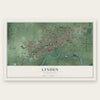
Lynden, Washington Map Art
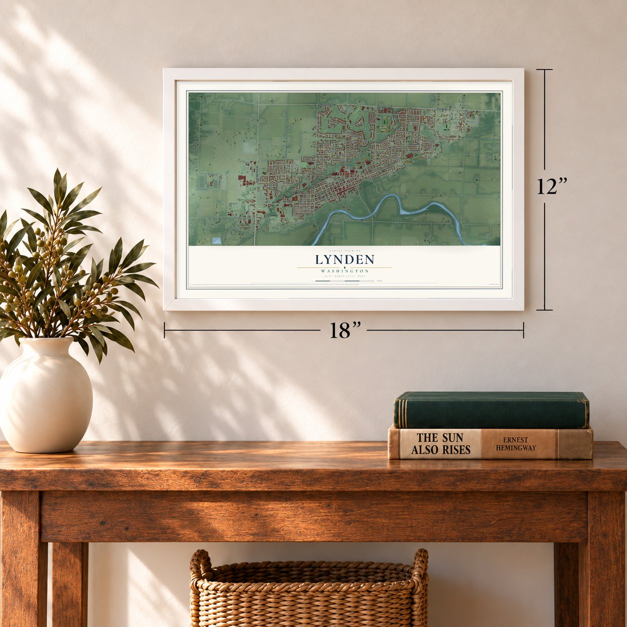
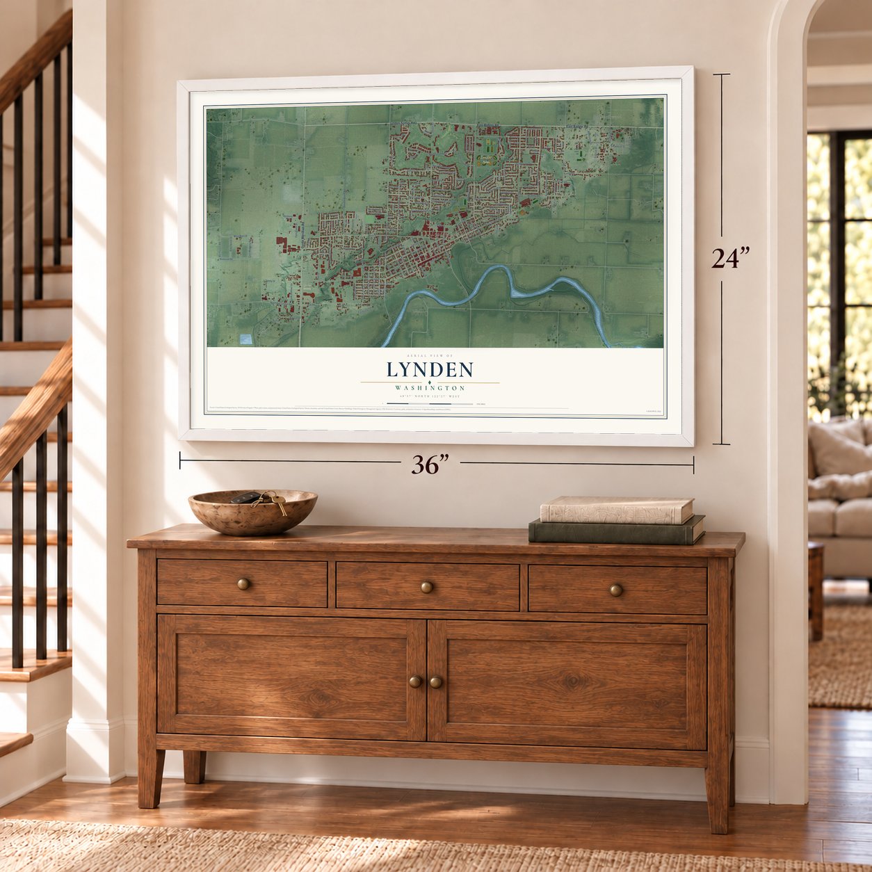
A new map of Lynden, Washington, made in 2026 and printed to order on thick archival matte paper.
12" x 18" Archival Matte Print
A Map of Home. A Work of Art.
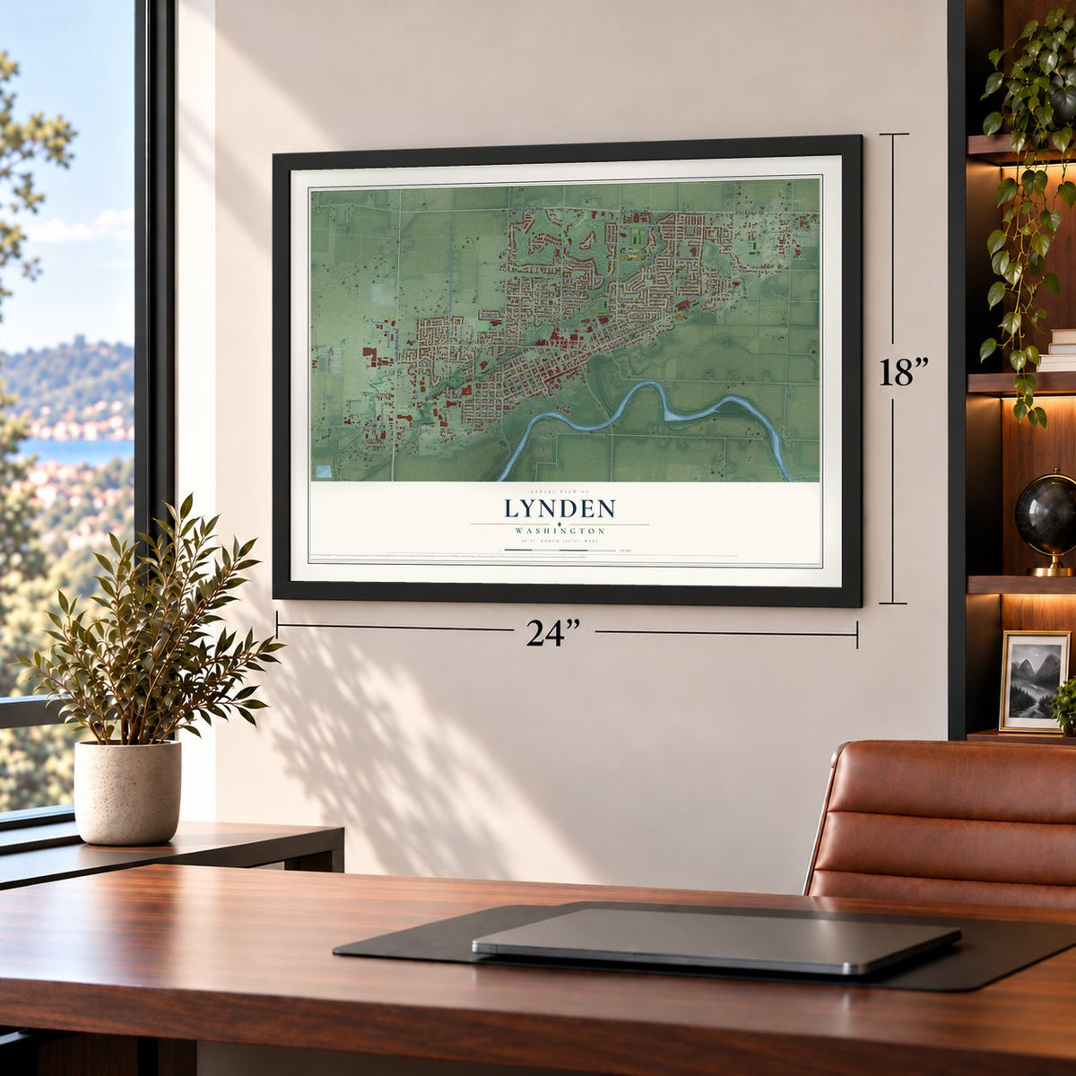
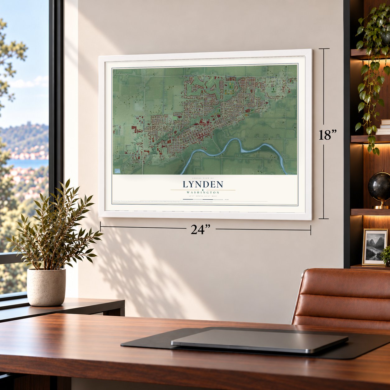
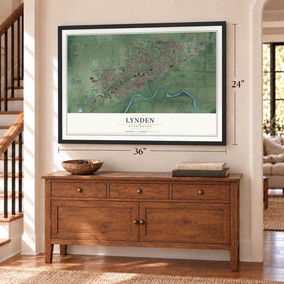
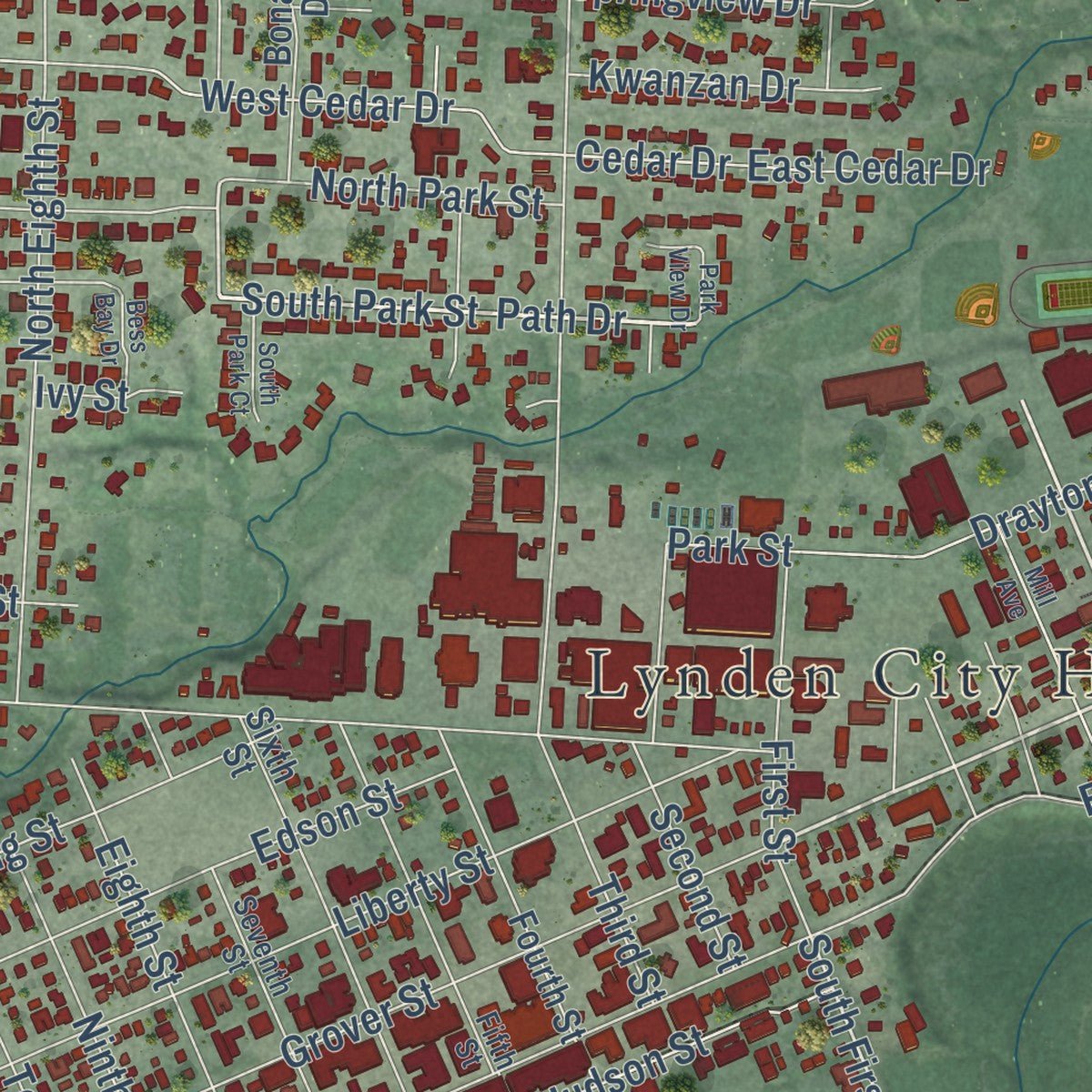
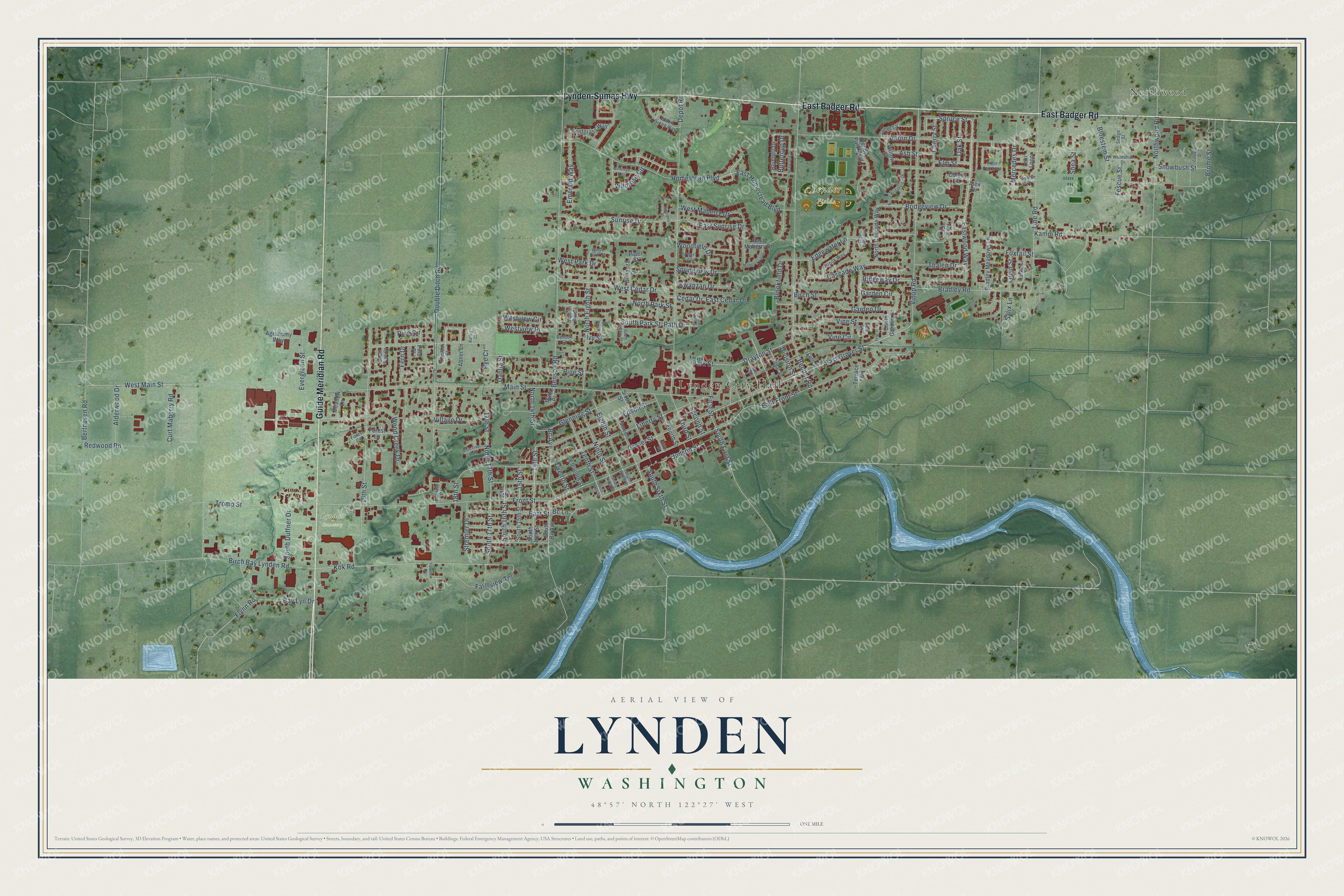
Explore Lynden, Washington from a whole new perspective. Created using aerial imagery and detailed geographic data, this map captures Lynden building by building, with labeled streets, familiar landmarks, and shaded topographical relief that highlights the natural contours of the landscape.
Combining modern data with the timeless character of a vintage atlas, this map is just as interesting up close as it is beautiful on the wall. Whether you grew up in Lynden, spent memorable years there, or call it home today, this unique map is a great way to celebrate a place that means something to you. Zoom in on the preview to look for your street, and then order a print to put your memories on the wall.
Three ways to hang it
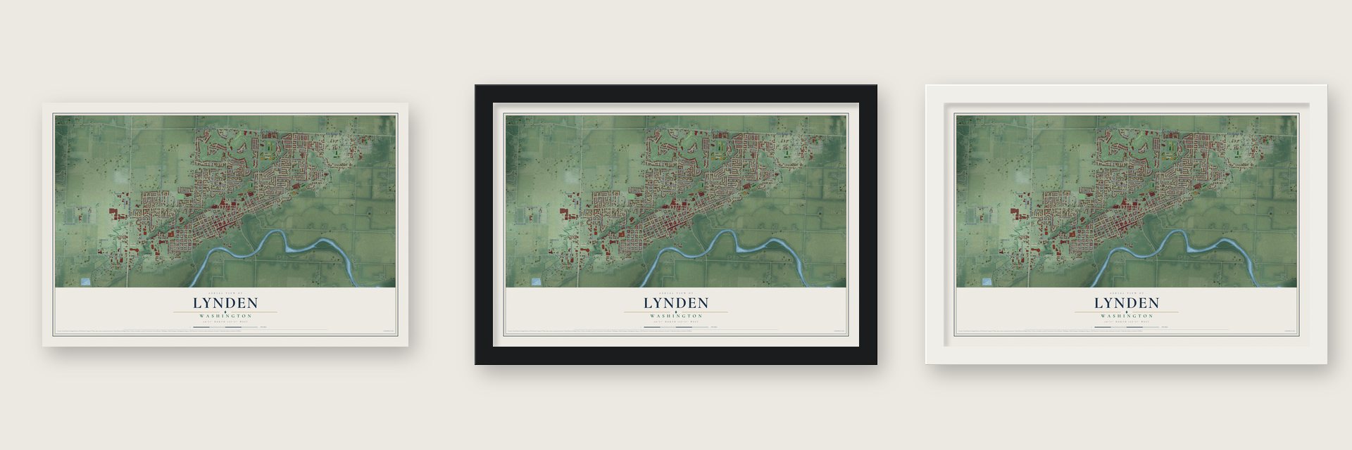
Unframed archival matte, a black wood frame or a white wood frame.
Up close
Geography Worth Displaying
This map was created using accurate cartographic data and authoritative geographic sources, including the U.S. Geological Survey and the Census Bureau. The map brings together terrain, waterways, roads, and building detail. The majority of the streets are labeled, houses are accurately depicted, and the topography is derived from government sources. Combining local data with carefully composed color and shading leads to this beautifully detailed Lynden artwork for your wall.
Rather than simply showing street outlines, we’ve included as many of the street names as we could reasonably fit on the map while keeping their names legible. Zoom in on the high resolution preview to see exactly what’s on the map. We truly set out to create a statement piece for anyone who loves Lynden. So whether it’s for you, or a gift for someone you love, we hope this map of Lynden brings back fond memories.
Read the story behind this map of Lynden, Washington from 2026.
About Lynden, Washington
Lynden is a city of 15,749 people in Whatcom County, on the Nooksack River about five miles south of the Canadian border. The Nooksack people called this place Squahalish long before James Alexander Patterson arrived. In 1860 Patterson, a Tennessee man who called himself a colonel, built a log cabin here and started a cattle ranch. In the late 1860s his wife left him, and he needed a home for his two young daughters. He offered his cabin and land to Holden and Phoebe Judson of Whidbey Island.
The Judsons agreed to raise the girls until they grew up. In March 1870 Patterson deeded the land to Phoebe, and the family moved in that same month. A post office opened on March 17, 1873, with Holden as postmaster at $12 a year. Phoebe named it after Thomas Campbell's poem Hohenlinden, and she spelled Linden with a y because she liked how it looked. Their son George platted the town in 1884. When Lynden incorporated in 1891, Holden became its first mayor.
“Rather odd to have two stores and a school house and nobody living in the town.”
- Clearing the NooksackHuge log jams kept steamers from reaching Lynden. Crews removed the largest, close to Ferndale, during 1876 and early 1877, and Phoebe Judson helped raise part of the money for the work. Smaller jams nearer town took the rest of the 1870s. In the 1880s steamers finally made regular trips upriver to Hawley's Landing at Hannegan Road.
- A real town by 1889Tree stumps still filled Front Street in the 1880s, but businesses kept opening along it. By 1889 Lynden had a newspaper called the Pioneer Press, five general stores, three blacksmith shops, two bakeries, a drug store and a public library. That year the Judson Opera House opened, and it became the town's community center.
- A college from 1886 to 1892The Northwest Normal School opened in Lynden in October 1886. It closed in 1892, mostly because the state did not give it enough money. That school later became Western Washington University in Bellingham.
- Dutch churches and SinterklaasDutch families began settling here in the late 1800s, and more came in the early and mid-20th century. They founded Calvinist churches and schools taught in Dutch. By 1995 the town had 28 Dutch churches, and many stores stayed closed on Sundays. In the 1980s Lynden began holding Holland Days each spring and a Sinterklaas celebration each December, and several Front Street buildings were redone in Dutch styles.
- The fair since 1909The Northwest Washington Fair began in 1909 and serves as Whatcom County's regional fair. Each August it brings more than 200,000 visitors to Lynden for farm displays, arts and crafts, and live entertainment.
Find your street
Names on the Lynden map
Every name below is printed on this map. Look for your street, your school, the park where you played, or the pond down the road.
Places and landmarks4
- Lynden City Hall
- Bender Fields
- Lynden Cemetery
- Northwood
Streets and roads182
- East Badger Road
- Lynden-Sumas Highway
- Guide Meridian Road
- East Grover Street
- Eastwood Way
- Judson Street
- South Park Street
- Path Drive
- Spruce Street
- 14th Street
- North 14th Street
- Bridgeview Drive
- East Sunrise Drive
- South First Street
- Front Street
- Main Street
- Aaron Drive
- Benson Road
- Bender Road
- Depot Road
- Liberty Street
- 19th Street
- Pine Street
- West Main Street
- Grover Street
- East Front Street
- Vinup Road
- Kok Road
- Homestead Boulevard
- Double Ditch Road
Show all 182 streets
- Northwood Road
- Kamm Road
- Edgewater Lane
- Line Road
- Cedar Drive
- Bradley Road
- Brome Street
- Garden Drive
- East Homestead Boulevard
- Wood Creek Drive
- Edson Street
- North Eighth Street
- Sunrise Drive
- North Park Street
- Tromp Street
- Birch Bay Lynden Road
- Drayton Street
- Park Street
- West Cedar Drive
- Bluestem Street
- Cascade Way
- Glenning Street
- Bay Lyn Drive
- 17th Street
- North 17th Street
- Mercedes Drive
- Berthusen Road
- Elm Street
- Vine Street
- South 17th Street
- East Street
- West Maberry Drive
- Eighth Street
- Farmview Terrace
- Second Street
- Brookfield Drive
- Bc Avenue
- East Cedar Drive
- Fern Drive
- Ninth Street
- Tenth Street
- First Street
- Third Street
- Wildrose Circle
- Springview Drive
- Emerald Way
- Curt Maberry Road
- Alderwood Drive
- South Duffner Drive
- Redwood Road
- Westview Circle
- Village Drive
- Woodfield Drive
- Shea Street
- Westview Place
- South Sixth Street
- Snowbush Street
- Ridgeway Drive
- Garden Circle
- Kwanzan Drive
- Thalen Drive
- Stremler Drive
- Evergreen Street
- Division Street
- Pine Circle
- Foxtail Street
- Ash Street
- Salix Lane
- Oak Street
- Cherry Street
- Vine Circle
- South 16th Street
- West Park Drive
- Rye Court
- Buttercup Drive
- Lupin Street
- Fescue Street
- Birch Street
- Flynn Road
- 18th Street
- 15th Street
- Twelfth Street
- Dahlia Street
- Ivy Street
- Bc Lane
- East Maberry Drive
- Sixth Street
- Fourth Street
- Bender Park Boulevard
- Bradley Meadows Lane
- North Cascade Way
- Bentgrass Way
- South Bc Avenue
- Bonanza Drive
- South 14th Street
- South 15th Street
- Lexi Loop
- Agronomy Way
- Bluebell Drive
- 16th Street
- Eleventh Street
- Forest Lane
- Willow Street
- Meadow Lane
- South Garden Drive
- Terrace Drive
- Alex Drive
- Abner Lane
- Colony Court
- Main Place
- Piper Street
- Tara Court
- Pine Place
- West Park Street
- Fifth Street
- Seventh Street
- James Circle
- Island Green Way
- Brook Way
- Cedar Street
- Larkspur Street
- Scenic Place
- Pearl Loop
- Fairside Drive
- Hemlock Court
- Captain Bay Court
- Lynn Street
- Benson Lane
- South Pine Court
- Forest Circle
- Sedge Street
- Vine Court
- South Tenth Street
- Bryce Park Loop
- Maberry Loop
- Mill Avenue
- Heartland Drive
- North Bridgeview Drive
- Woodsman Drive
- Currant Street
- Fairview Drive
- Wildrose Lane
- Fish Trap Way
- Park View Drive
- South Park Court
- Bess Bay Drive
- Vine Way
- Harrison Place
- Edge Water Lane
- South Eighth Street
- South Ninth Street
- Barley Court
Names are listed as they appear on the printed map. Zoom into the product photos to find them.
The art of mapping a place
How This Map Was Made
Real places. Remarkable detail. Discover the layers that turn geographic data into a map of home.

The view from above
Aerial imagery reveals the character of the land: woodland, open fields, and the patterns of a place.

The shape of the land
Elevation data brings hills, valleys, and subtle changes in the landscape into view.

The details of home
Roads, waterways, and building footprints come together to make the map feel unmistakably local.

Geography becomes art
Considered color, shading, and typography bring the layers together in a map made for your wall.


Process illustrated with Mendon, Massachusetts. Aerial imagery: USDA NAIP. Terrain: USGS 3D Elevation Program. Map details and finished artwork: KNOWOL.
The Details
About This Print
Choose an archival matte print, or a black or white Ayous wood frame. The archival matte print is unframed.
Select your size and finish above to see the matching product image and price.
Materials & Craftsmanship
A contemporary map with the character of a classic atlas, printed on archival matte paper. Optional frames are made from Ayous wood.
Your printed map does not include the watermark shown in the full-map preview.
Shipping & Delivery
Free shipping within the United States. Every print is made to order in the USA.
Buying a gift? Add a note in your cart and we'll include it. We never put prices in the package.
Prints ship within 2 to 3 business days. Allow 7 to 10 days total from ordering for delivery. Timing may vary during holidays or periods of high order volume.
Read our shipping policy.
Returns and damaged prints
Each print is made to order. Change-of-mind refunds are not available after production.
If your print arrives damaged, misprinted or incorrect, contact support@knowol.com within 30 days of receiving it. Include your order number, photos and a description of the issue.
Read our full refund and replacement policy. For questions about your order, email support@knowol.com.
Find your town
Looking for another city?
Find a map of home in our Washington collection, or any town in the country.
Nearby
Maps of towns near Lynden
Know someone from one of these towns? Their map makes a great gift.
 Everson
, Washington
From $39.99See the map
 Nooksack
, Washington
From $39.99See the map
 Custer
, Washington
From $39.99See the map
More maps nearby: Sumas, Ferndale, Marietta-Alderwood, Deming and Birch Bay.