
Search for another town





Free U.S. delivery 7 to 10 days after you order
Town of Mamaroneck, New York Map Art
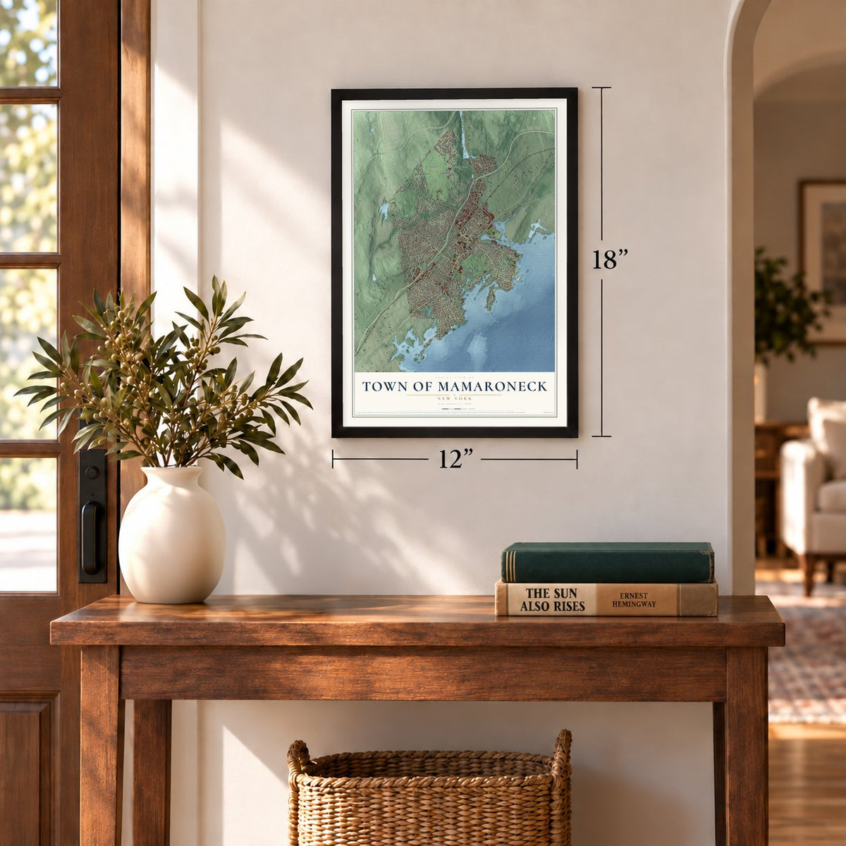
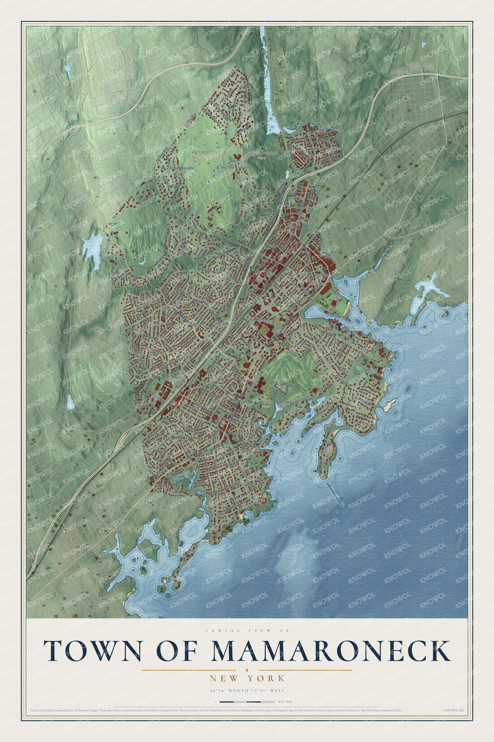
A new map of Town of Mamaroneck, New York, made in 2026 and printed to order on thick archival matte paper.
12" x 18" Archival Matte Print
A Map of Home. A Work of Art.
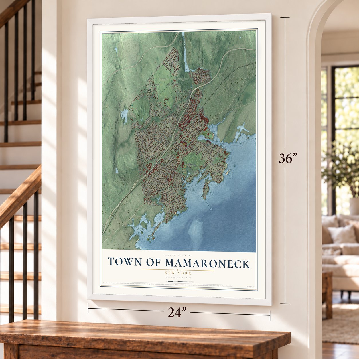
Bring a piece of Mamaroneck home. Whether it’s where you grew up, your current home, or simply a moment in your life, this Mamaroneck, New York map print brings those memories to your wall. Antique-inspired styling and modern geographic detail combine to create artwork that’s beautiful from across the room, with plenty to study and explore when you get up close.
Three ways to hang it
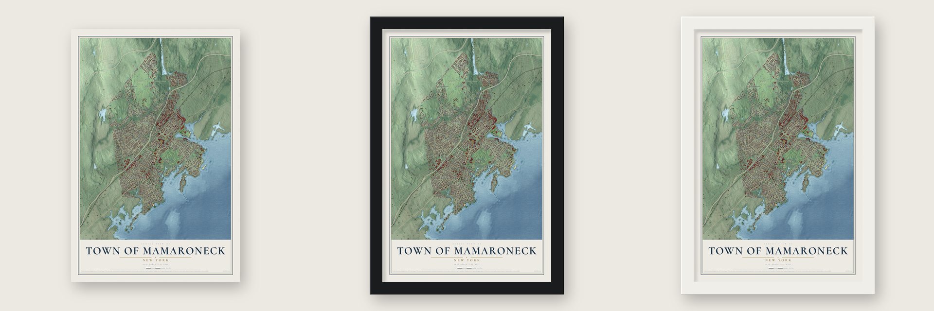
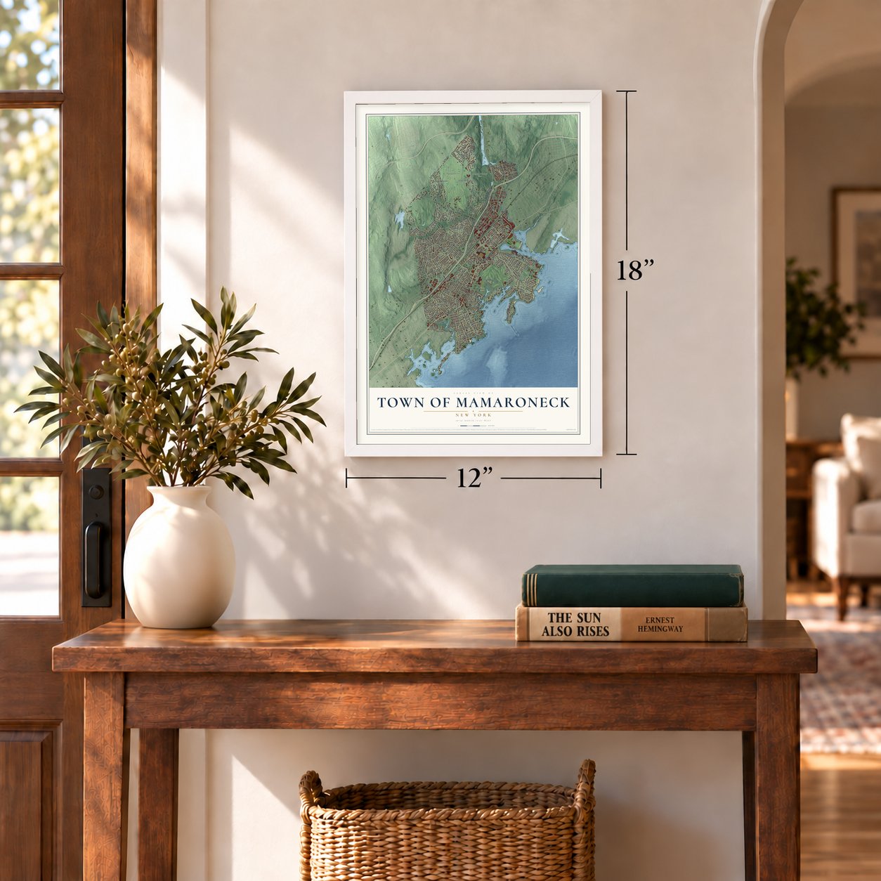
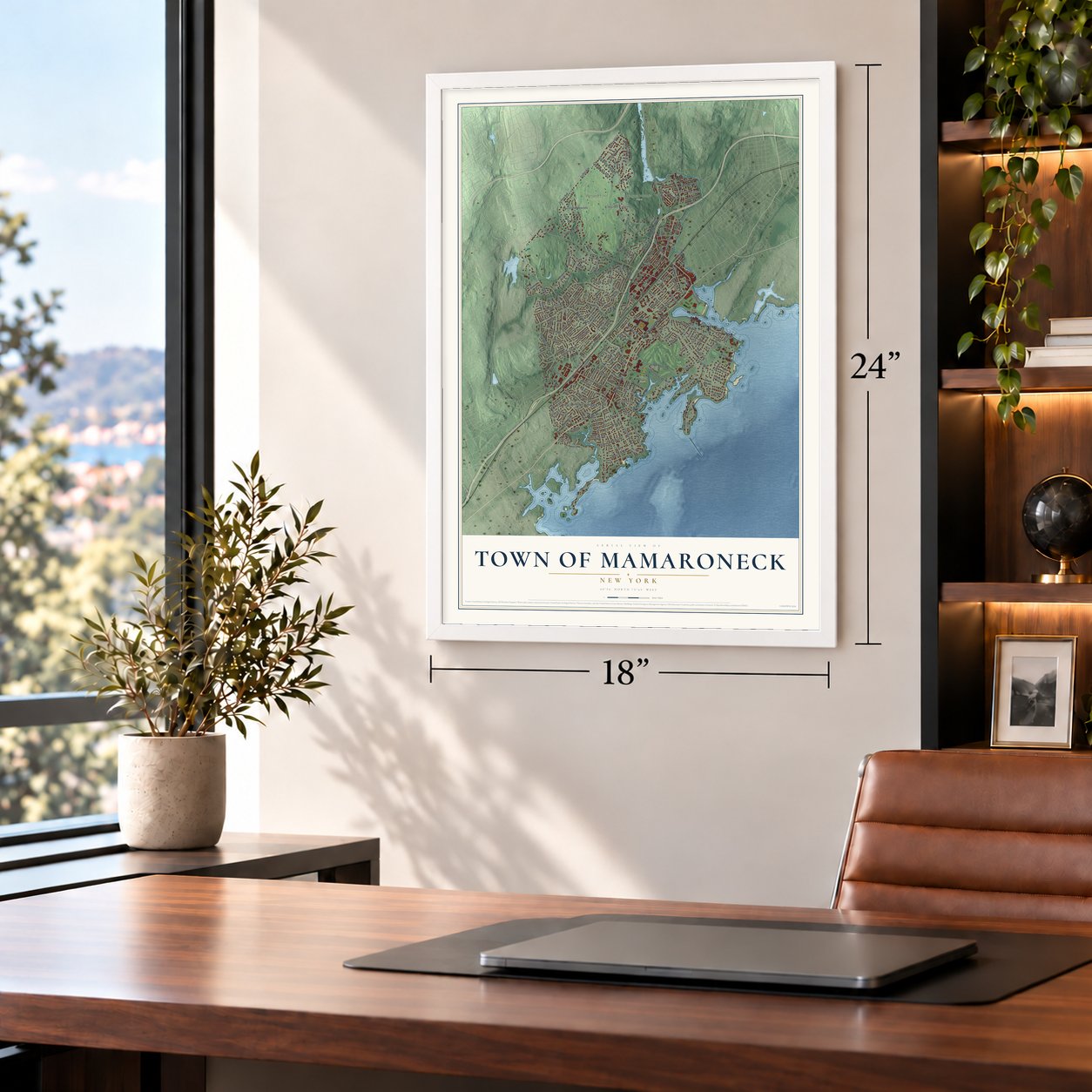
Unframed archival matte, a black wood frame or a white wood frame.
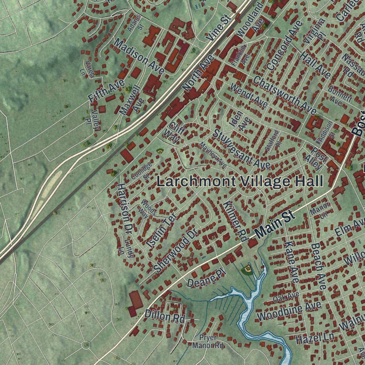
Up close
Real geography. Art worth displaying.
This map was created using accurate cartographic data and authoritative geographic sources, including the U.S. Geological Survey (USGS) and FEMA. The map brings together terrain, waterways, roads, and building detail. The majority of the streets are labeled, houses are accurately depicted, and the topography is derived from government sources. Combining local data with carefully composed color and shading leads to this beautifully detailed Mamaroneck artwork for your wall.
Rather than simply showing street outlines, we’ve included as many of the street names as we could reasonably fit on the map while keeping their names legible. Zoom in on the high resolution preview to see exactly what’s on the map. We truly set out to create a statement piece for anyone who loves Mamaroneck. So whether it’s for you, or a gift for someone you love, we hope this map of Mamaroneck brings back fond memories.
Explore the full map of Town of Mamaroneck, New York and read about the local places it shows.

Find your street
Names on the Mamaroneck map
Every name below is printed on this map. Look for your street, your school, the park where you played, or the pond down the road.
Places and landmarks10
- Larchmont Village Hall
- Flint Park
- Saxon Woods Park
- Winged Foot Golf Club
- Elmcroft Estates
- Harbor Heights
- Larchmont
- Murdock Woods
- Orienta
- Harbor Island Park
Streets and roads222
- Main Street
- Weaver Street
- Boston Post Road
- West Boston Post Road
- Orienta Avenue
- Hommocks Road
- Griffen Avenue
- Dillon Road
- Deane Place
- Mamaroneck Avenue
- Palmer Avenue
- Fenimore Road
- Old White Plains Road
- Rockland Avenue
- Larchmont Avenue
- Murray Avenue
- Forest Avenue
- Prospect Avenue
- Myrtle Boulevard
- Chatsworth Avenue
- Beach Avenue
- Rushmore Avenue
- Woodbine Avenue
- Harmon Drive
- Center Avenue
- Willow Avenue
- Park Avenue
- Flagler Drive
- Waverly Avenue
- Walton Avenue
Show all 222 streets
- Claflin Avenue
- Cove Road
- Marbourne Drive
- Edgewood Avenue
- Greacen Point Road
- Maple Avenue
- Monroe Avenue
- Stuyvesant Avenue
- Rockingstone Avenue
- Fayette Avenue
- Bleeker Avenue
- Raleigh Road
- Magnolia Avenue
- Locust Avenue
- Eagle Knolls Road
- Pryer Lane
- Mohegan Road
- West Brookside Drive
- Country Road
- Avon Road
- Stanley Avenue
- Sherwood Drive
- Hoyt Avenue
- Iselin Terrace
- Winged Foot Drive
- Grand Street
- Kane Avenue
- Salem Drive
- Walnut Avenue
- Stonewall Lane
- Harrison Drive
- Carriage House Lane
- Carleon Avenue
- Old Post Road
- Shore Drive
- Valley Road
- Concord Avenue
- Vine Road
- Baldwin Place
- Elm Avenue
- Griffin Avenue
- Maple Hill Drive
- Hall Avenue
- Byron Lane
- Premium Point
- Fenbrook Drive
- Howell Avenue
- Glenn Road
- Colonial Avenue
- York Road
- Seney Avenue
- Richbell Road
- Warren Avenue
- Fairway Drive
- Ocean Avenue
- Laurel Avenue
- Highview Street
- Fifth Avenue
- Dundee Road
- Skibo Lane
- Knollwood Avenue
- Vine Street
- Ellsworth Road
- Lester Avenue
- Madison Avenue
- Kilmer Road
- Echo Lane
- Grant Terrace
- Sylvan Lane
- North Avenue
- Hazel Lane
- New Street
- Elkan Road
- Jason Lane
- Fulton Road
- Glen Eagles Drive
- Rock Ridge
- Villa Lane
- Circle Avenue
- Rockridge Road
- Mount Pleasant Avenue
- Prince Willow Lane
- Flint Avenue
- Wendt Avenue
- Cortland Avenue
- South Drive
- Bonnie Briar Lane
- Constable Drive
- Madison Street
- Country Club Drive
- Cooper Lane
- Fairway Avenue
- West Garden Road
- Briarcliff Road
- Holly Place
- Daymon Terrace
- Blossom Terrace
- Gate House Lane
- Phillips Park Road
- Bonnie Way
- Maxwell Avenue
- Plaza Avenue
- Halstead Avenue
- West Flagler Drive
- Saxon Drive
- Woodland Avenue
- Beach Point Club
- Burton Road
- Virginia Place
- Alden Road
- Ralph Avenue
- Nassau Road
- Sunset Road
- Urban Street
- Oak Lane
- Eton Road
- Gertrude Avenue
- Protano Lane
- Stiles Avenue
- Seahaven Drive
- Pirates Cove Lane
- Hilltop Road
- Post Alley
- Library Lane
- Iden Avenue
- Sackett Drive
- Cliff Way
- Rocky Road
- Katie Lane
- Wood Street
- Chestnut Avenue
- Oak Avenue
- Grove Avenue
- Kolbert Drive
- Delancey Avenue
- Pryer Manor Road
- Fernwood Road
- Hillside Road
- Revere Road
- Helena Avenue
- Doris Road
- Nine Acres Lane
- Sylvan Avenue
- Valley Place
- Bonnett Avenue
- Sheldrake Avenue
- Stratford Road
- Ormand Road
- Rochelle Road
- Ward Avenue
- Glen Lane
- Bruce Avenue
- Douglas Lane
- Lundy Lane
- Fairway Lane
- Fourth Street
- Hudson Place
- Dudley Lane
- Manor Lane
- Poccia Circle
- Lawrence Avenue
- Railroad Way
- Mayhew Avenue
- Split Tree Road
- Heathcote Avenue
- Van Ranst Place
- Seven Oaks Lane
- Addison Street
- Mountain Avenue
- Orsini Drive
- Woods Way
- Hidden Green Lane
- Villa Road
- Coolidge Street
- Wesleyan Avenue
- The Crescent
- Mulberry Lane
- Point Road
- Adams Street
- Rocky Hollow Drive
- Baldwin Avenue
- Winthrop Avenue
- Franklin Avenue
- Bay Avenue
- South Ridge Road
- Stafford Place
- Palmer Terrace
- Bryson Street
- Nelson Street
- Indian Cv
- Varela Lane
- Vine Place
Names are listed as they appear on the printed map. Zoom into the product photos to find them.
The art of mapping a place
How This Map Was Made
Real places. Remarkable detail. Discover the layers that turn geographic data into a map of home.

The view from above
Aerial imagery reveals the character of the land: woodland, open fields, and the patterns of a place.

The shape of the land
Elevation data brings hills, valleys, and subtle changes in the landscape into view.

The details of home
Roads, waterways, and building footprints come together to make the map feel unmistakably local.

Geography becomes art
Considered color, shading, and typography bring the layers together in a map made for your wall.


Process illustrated with Mendon, Massachusetts. Aerial imagery: USDA NAIP. Terrain: USGS 3D Elevation Program. Map details and finished artwork: KNOWOL.
The Details
About This Print
Choose an archival matte print, or a black or white Ayous wood frame. The archival matte print is unframed.
Select your size and finish above to see the matching product image and price.
Materials & Craftsmanship
A contemporary map with the character of a classic atlas, printed on archival matte paper. Optional frames are made from Ayous wood.
Your printed map does not include the watermark shown in the full-map preview.
Shipping & Delivery
Free shipping within the United States. Every print is made to order in the USA.
Buying a gift? Add a note in your cart and we'll include it. We never put prices in the package.
Prints ship within 2 to 3 business days. Allow 7 to 10 days total from ordering for delivery. Timing may vary during holidays or periods of high order volume.
Read our shipping policy.
Returns and damaged prints
Each print is made to order. Change-of-mind refunds are not available after production.
If your print arrives damaged, misprinted or incorrect, contact support@knowol.com within 30 days of receiving it. Include your order number, photos and a description of the issue.
Read our full refund and replacement policy. For questions about your order, email support@knowol.com.
Find your town
Looking for another city?
Find a map of home in our New York collection.
Nearby
Maps of towns near Town of Mamaroneck
Know someone from one of these towns? Their map makes a great gift.
 Larchmont
, New York
From $39.99See the map
 Village of Mamaroneck
, New York
From $39.99See the map
 New Rochelle
, New York
From $39.99See the map
More maps nearby: City of Rye, Village of Pelham, Town of Pelham, Pelham Manor and Eastchester.